The best walks and hikes around Uxbridge
4.9
(35)
241
hikers
26
hikes
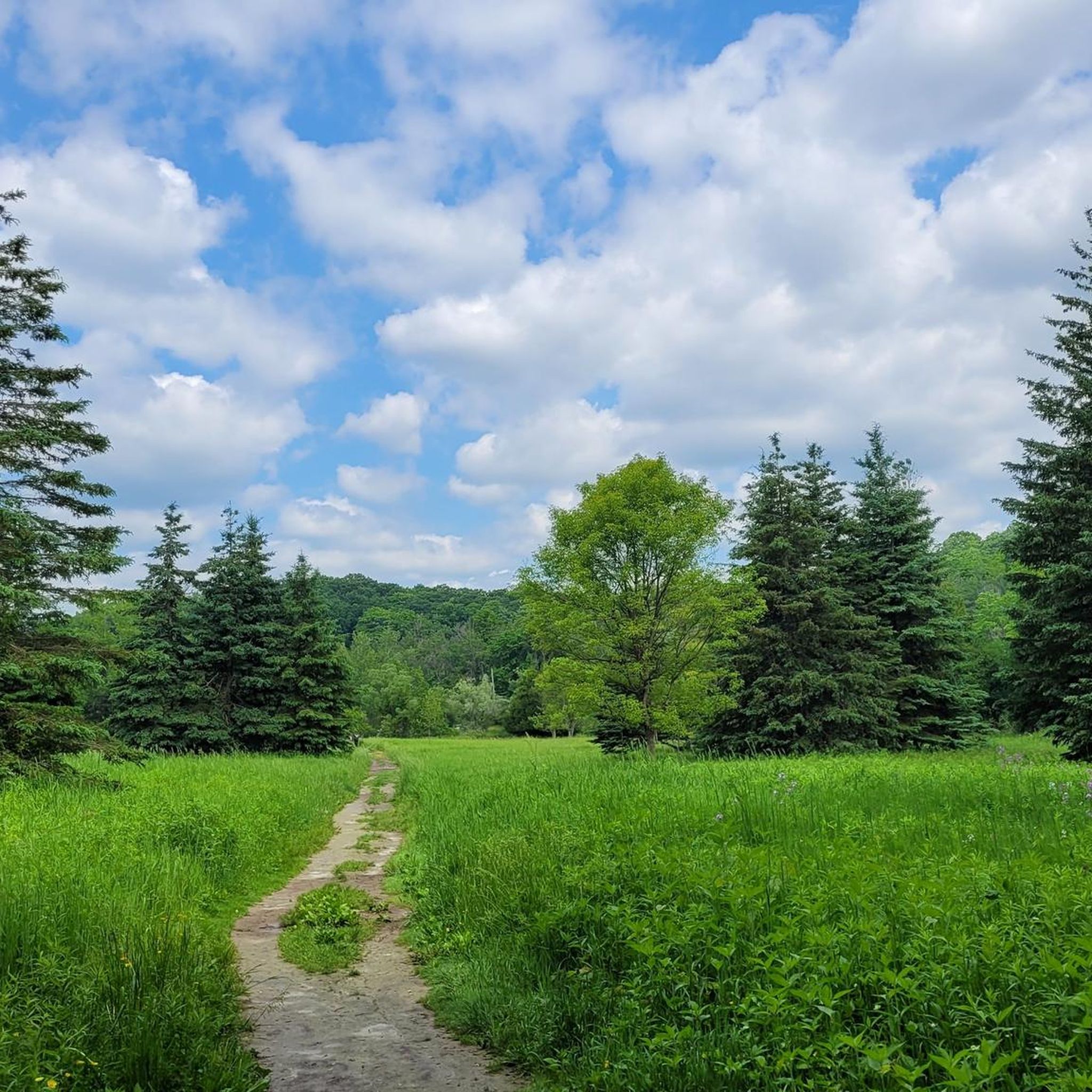
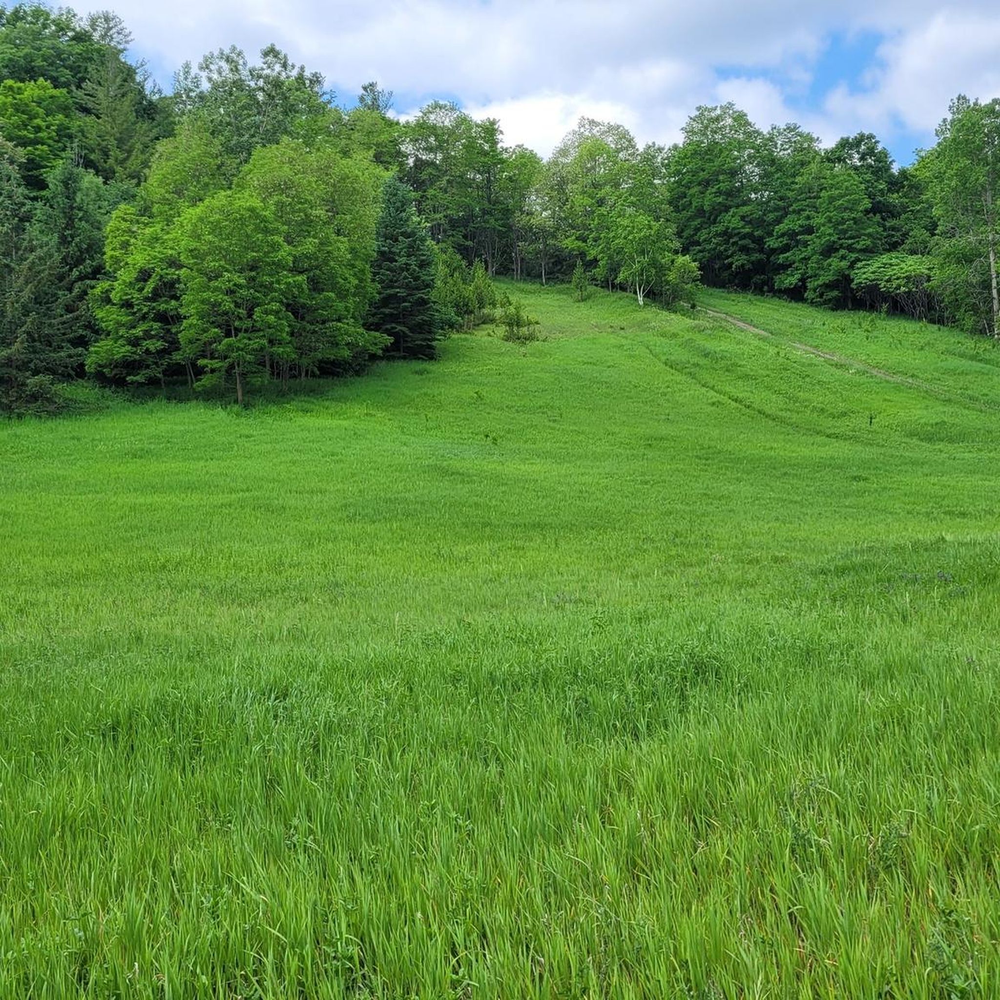
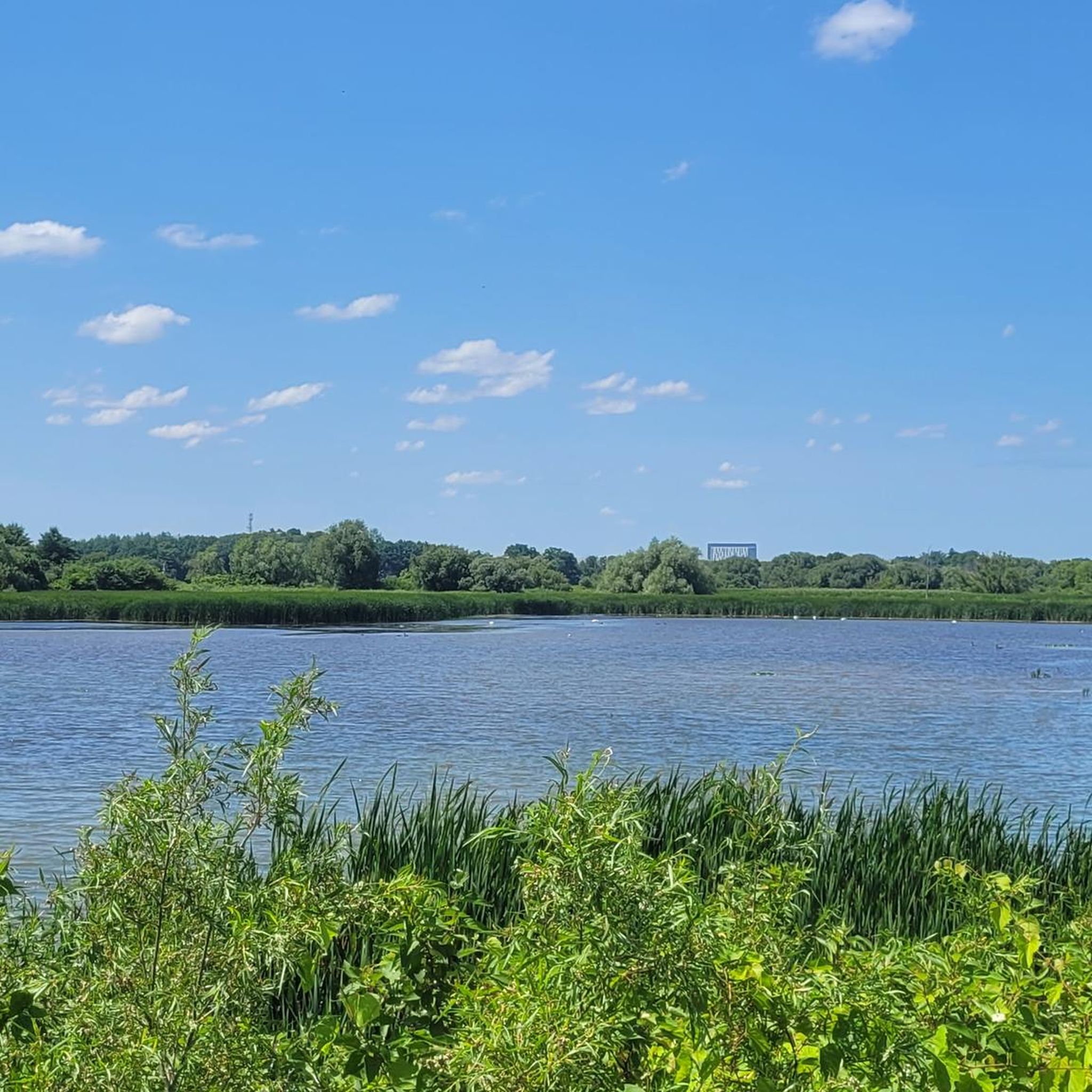
Hiking around Uxbridge offers access to a diverse landscape situated on the northern slope of the Oak Ridges Moraine. This geological formation provides varied topography, including rolling meadowland, dense woodlands, and serene wetlands. Hikers can explore extensive trail networks that traverse open fields and follow picturesque creeksides. The region's commitment to natural preservation is evident in its conservation areas and the establishment of Uxbridge Urban Provincial Park.
Best hiking trails around Uxbridge
- The most popular hiking route is Brock Tract – Steep Rocky Section loop from Bluebird Trail, a 5.9 miles (9.5 km) trail that takes 2 hours 35 minutes to complete, offering varied terrain through woodlands and along the moraine.
- Another top favourite among local hikers is Durham Regional Forest loop from Durham Regional Forest, a moderate 7.6 miles (12.3 km) path. This route explores the extensive forest trails and diverse landscapes of the Durham Regional Forest.
- Local hikers also love the Steep Rocky Section loop from Durham Regional Forest, a 9.5 miles (15.3 km) trail leading through dense forest and featuring a steep rocky section, often completed in about 4 hours 5 minutes.
- Hiking around Uxbridge is defined by the rolling hills of the Oak Ridges Moraine, dense woodlands, and open meadowland. The network offers options for different ability levels, from leisurely walks to more challenging hikes.
- The routes in Uxbridge are highly rated by the komoot community with an average score of 4.9 stars from over 60 reviews. More than 380 hikers have used komoot to explore Uxbridge's varied terrain.
Last updated: October 13, 2026
6
hikers
9.11km
02:26
110m
110m
Moderate hike. Good fitness required. Easily-accessible paths. Suitable for all skill levels.
4
hikers
7.91km
02:06
70m
70m
Moderate hike. Good fitness required. Easily-accessible paths. Suitable for all skill levels.

5
hikers
6.97km
01:53
90m
90m
Easy hike. Great for any fitness level. Easily-accessible paths. Suitable for all skill levels.
4.3
(3)
5
hikers
3.76km
00:59
30m
30m
Easy hike. Great for any fitness level. Easily-accessible paths. Suitable for all skill levels.
1
hikers
4.60km
01:11
20m
20m
Easy hike. Great for any fitness level. Easily-accessible paths. Suitable for all skill levels.
Get access to more routes and recommendations from other explorers.
Already have an account?
Our route recommendations are based on thousands of hikes, rides, and runs completed by other people on komoot.
Start today with a free account
Your next adventure awaits.

Tips from the Community

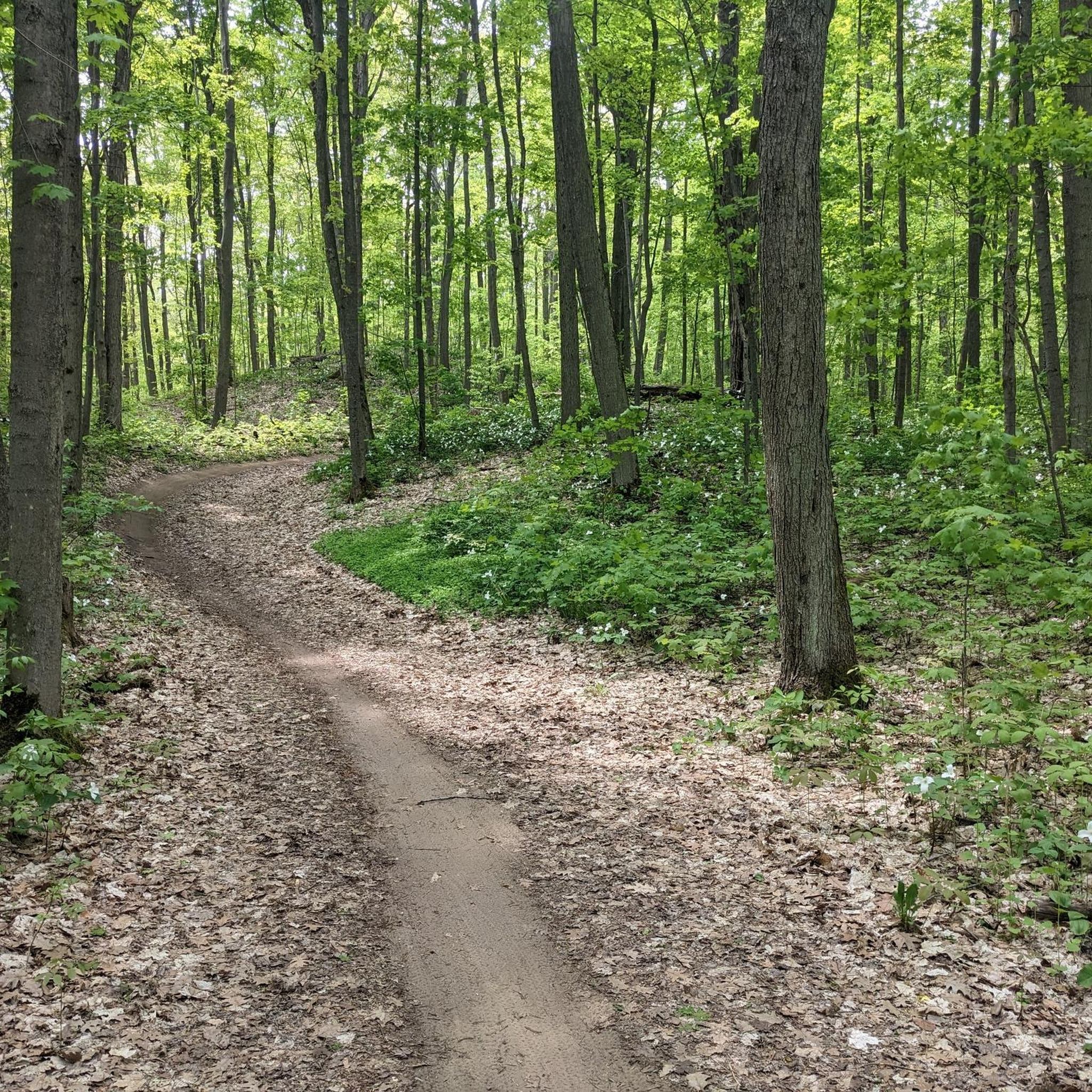
Drysdale Woods is a protected forest tract in the York Regional Forest system. For six decades this area was a family-owned Christmas tree farm. The property was generously donated by the Drysdale family to be preserved for future generations. The trail system that loops around the tract, the Drysdale Woods Loop, takes hikers and bikers on a 3.7-kilometre journey through conifer plantations, towering red pines, and native deciduous hardwoods. The forest floor is often covered with a blanket of soft pine needles, and sometimes white-tailed deer, porcupines, and songbirds can be seen wandering in the woods.
0
0
Here, Oak Ridges Trail meets the Drysdale Woods trail at York Durham Line. The Oak Ridges Trail stretches over 275 kilometres, and from here the trail curves either down south, overlapping the road, or to the west into the forest.
0
0
Vivian Creek flows through the western edge of Drysdale Woods. The cold clear creek flows peacefully though the local tract.
0
0
Durham Region Forest - Timber's Tract is a 596-hectare satellite forest open to mountain biking, E-biking, gravel biking, winter fat biking, hiking, trail running, snowshoeing and Nordic skiing. The area is less busy than the Durham Forest Main Tract. After years of logging, the area was restored with “plantation forest” zones, where today you can see pine, spruce trees and other hardwoods lined up in neat rows.
0
0
Timber's Tract Singletrack is a green-rated trail. It connects Timber's Tract Trail over to Wagg Road entrance and weaves though thick forests on a narrower trail. While Timber's Tract Trail is wide and straight, Timber's Tract Singletrack is narrow and twisty, so choose whatever trail suits you.
0
0
Timber's Track is an old road turned into a wide trail, for hikers and bikers to explore Durham Region Forest. The forests here are thick, and trails are well-marked. Enjoy the shady woods in summer or in winter after the leaves dropped their leaves, a brighter snowy forest while snowshoeing.
0
0

This peaceful woodland trail ties in with Wilder Forest and Nature Preserve to the west, and to Glen Major and West Walker Woods to the east. All told, linking these trails can allow you to wander for many kilometres in wild-feeling forest.
0
0
Wilder Forest and Wildlife Preserve has a wonderfully robust navigation system, including these posts and trail maps at every major intersection. The sloping angle at the top of each post is angled toward the north, and you will also see some colored blazes to help you find your way.
0
0
Frequently Asked Questions
How many hiking trails are available in Uxbridge?
Uxbridge, known as the "Trail Capital of Canada," offers an extensive network of over 220 kilometers of trails. On komoot, you can find 26 curated hiking routes, ranging from easy strolls to more challenging treks through diverse landscapes.
What makes Uxbridge a unique hiking destination?
Uxbridge is uniquely situated on the northern slope of the Oak Ridges Moraine, a provincially protected area. This geological feature creates a varied topography of rolling meadowland, dense woodlands, pristine wetlands, and serene ponds. The recent establishment of Uxbridge Urban Provincial Park further enhances its appeal, offering year-round access to preserved natural beauty.
Are there trails suitable for beginners or families in Uxbridge?
Yes, Uxbridge offers several easy trails perfect for beginners and families. The 140-acre Countryside Preserve features 9 km of marked trails through meadows, woodlands, and wetlands, with interpretive ecology displays and kid-friendly loops. On komoot, there are 12 easy routes available, ensuring options for all skill levels.
Are there any long-distance hiking opportunities in Uxbridge?
Absolutely. Uxbridge is home to a significant section of the Trans Canada Trail, with approximately 20 km winding through the area. The Oak Ridges Trail also offers extensive sections across the moraine, and the interconnected trails of Glen Major Forest and Walker Woods provide over 50 km of varied terrain for longer excursions.
What kind of terrain can I expect on Uxbridge's hiking trails?
Hikers in Uxbridge can expect a diverse range of terrain. Trails traverse the rolling hills of the Oak Ridges Moraine, dense woodlands, open fields, and follow picturesque creeksides. You'll encounter everything from well-maintained paths to sections with more natural, uneven surfaces, including some with moderate elevation changes.
Are there any circular hiking routes in Uxbridge?
Yes, many of Uxbridge's trails are designed as loops, offering convenient circular routes. For example, the Brock Tract – Steep Rocky Section loop from Bluebird Trail is a popular 9.5 km option, and the Durham Regional Forest loop from Durham Regional Forest provides a 12.3 km moderate circular path.
What can I see along the hiking trails in Uxbridge?
Along Uxbridge's trails, you can explore various natural and local attractions. Highlights include the extensive Durham Regional Forest Trails, the scenic Wetlands Boardwalk on Uxbridge Rail Trail, and sections of the Trans Canada Trail Singletrack. The Countryside Preserve also features interpretive ecology displays and art pedestals.
Are there dog-friendly hiking trails in Uxbridge?
Many of Uxbridge's trails are dog-friendly, allowing you to enjoy the outdoors with your canine companion. Areas like the Durham Regional Forest and parts of the Trans Canada Trail are popular choices for walks with dogs. Always ensure your dog is on a leash and you clean up after them to maintain the natural environment for everyone.
What do other hikers enjoy most about hiking in Uxbridge?
The komoot community highly rates hiking in Uxbridge, with an average score of 4.9 stars from over 60 reviews. Hikers often praise the diverse landscapes, from dense woodlands to open meadows, and the well-maintained trail networks that cater to various skill levels. The peaceful atmosphere and natural beauty are frequently highlighted.
Is there public transport access to hiking trails in Uxbridge?
While Uxbridge has some local transit, direct public transport access to all trailheads can be limited. Many popular trail areas, such as the Durham Regional Forest, are best reached by car. It's advisable to check local transit schedules and trail access points if relying on public transportation.
Are there any trails suitable for winter hiking or snowshoeing?
Yes, Uxbridge's trails are popular for winter activities. Many of the extensive networks, including those in the Durham Regional Forest and Glen Major Forest, are suitable for winter hiking and snowshoeing when conditions allow. The varied terrain offers beautiful snowy landscapes for exploration.
Where can I find parking for hiking trails in Uxbridge?
Many of the major trail systems in Uxbridge, such as the Durham Regional Forest and the Countryside Preserve, offer designated parking areas at their main access points. For example, you can find parking at the Durham Regional Forest East Gate for routes like the Durham Regional Forest loop from Public parking - Durham Forest East Gate. Always check specific trailhead information for parking availability.
Most popular routes around Uxbridge
Most popular attractions around Uxbridge

Get inspired with the komoot mobile app


Explore more
Browse the best Hikes in other regions.
