The best walks and hikes around Aurora
4.9
(59)
517
hikers
49
hikes
Hiking around Aurora, Colorado, offers a diverse range of outdoor experiences across its extensive trail systems and open spaces. The area features wide-open prairie, serene reservoir shorelines, and wooded creek corridors. Many routes provide views of the distant Front Range and Rocky Mountains. The landscape includes numerous parks and natural areas, providing varied terrain for hikers.
Best hiking trails around Aurora
- The most popular hiking route is Sheppard's Bush and Vandorf Woodlot via Nokiidaa Trail — Aurora, a 4.5 miles (7.3 km) trail that takes 1 hour 54 minutes to complete. This easy route explores wooded areas and natural landscapes.
- Another top favourite among local hikers is Tim Jones Trail, a moderate 8.3 miles (13.4 km) path. This trail offers a longer experience through varied terrain, taking approximately 3 hours 27 minutes.
- Local hikers also love the Tom Taylor Trail — Aurora, a 10.7 miles (17.3 km) trail leading through diverse natural settings, often completed in about 4 hours 24 minutes.
- Hiking around Aurora is defined by prairie landscapes, reservoir shorelines, and wooded creek corridors. The network offers options for various ability levels, from easy walks to moderate excursions.
- The routes in Aurora are highly rated by the komoot community with an average score of 4.8 stars from over 100 reviews. More than 700 hikers have used komoot to explore Aurora's varied terrain.
Last updated: October 4, 2026
5.0
(2)
9
hikers
7.31km
01:54
50m
50m
Easy hike. Great for any fitness level. Easily-accessible paths. Suitable for all skill levels.
5.0
(2)
9
hikers
13.4km
03:27
70m
70m
Moderate hike. Good fitness required. Easily-accessible paths. Suitable for all skill levels.

5.0
(1)
7
hikers
6.61km
01:46
70m
70m
Easy hike. Great for any fitness level. Easily-accessible paths. Suitable for all skill levels.
3
hikers
17.3km
04:24
60m
60m
Moderate hike. Good fitness required. Easily-accessible paths. Suitable for all skill levels.
5.0
(1)
27
hikers
Moderate hike. Good fitness required. Easily-accessible paths. Suitable for all skill levels.
Get access to more routes and recommendations from other explorers.
Already have an account?
Our route recommendations are based on thousands of hikes, rides, and runs completed by other people on komoot.
Start today with a free account
Your next adventure awaits.


Tips from the Community

Willow Farm Trail winds through the forested hills of St. Andrews in northwest Aurora, connecting neighbourhoods, parks, and open green spaces along its 3.5-kilometre length. The path is mostly compact gravel, following rolling terrain that climbs to one of Aurora’s highest points, with pockets of evergreen forest set within the surrounding deciduous woods. It’s an easy, family-friendly route, popular with hikers and cyclists, and named for Willow Farm, a property once owned by the Cosford family until 1903, whose land eventually gave way to the neighbourhood that surrounds the trail today.
0
0
This small pond sits among the trees at the northeast end of Willow Farm Trail, with a stone bridge nearby crossing the water. Surrounded by woodland and open green space, there is a nice bench here, and it’s a quiet spot to pause and watch for birds and other wildlife around the water. In winter, it’s sometimes cleared for skating and becomes a neighbourhood gathering spot, adding a lively element beyond its everyday quiet.
0
0
Shad Creek runs through the wooded landscape of northwest Aurora, with the Willow Farm/Lakeview trail system crossing and following parts of the creek several times throughout its course. The surrounding trees and low-lying areas give this section a more natural feel than the nearby residential streets. In late April, trout lilies bloom in abundance along its banks, with marsh marigolds and trilliums following soon after.
0
0
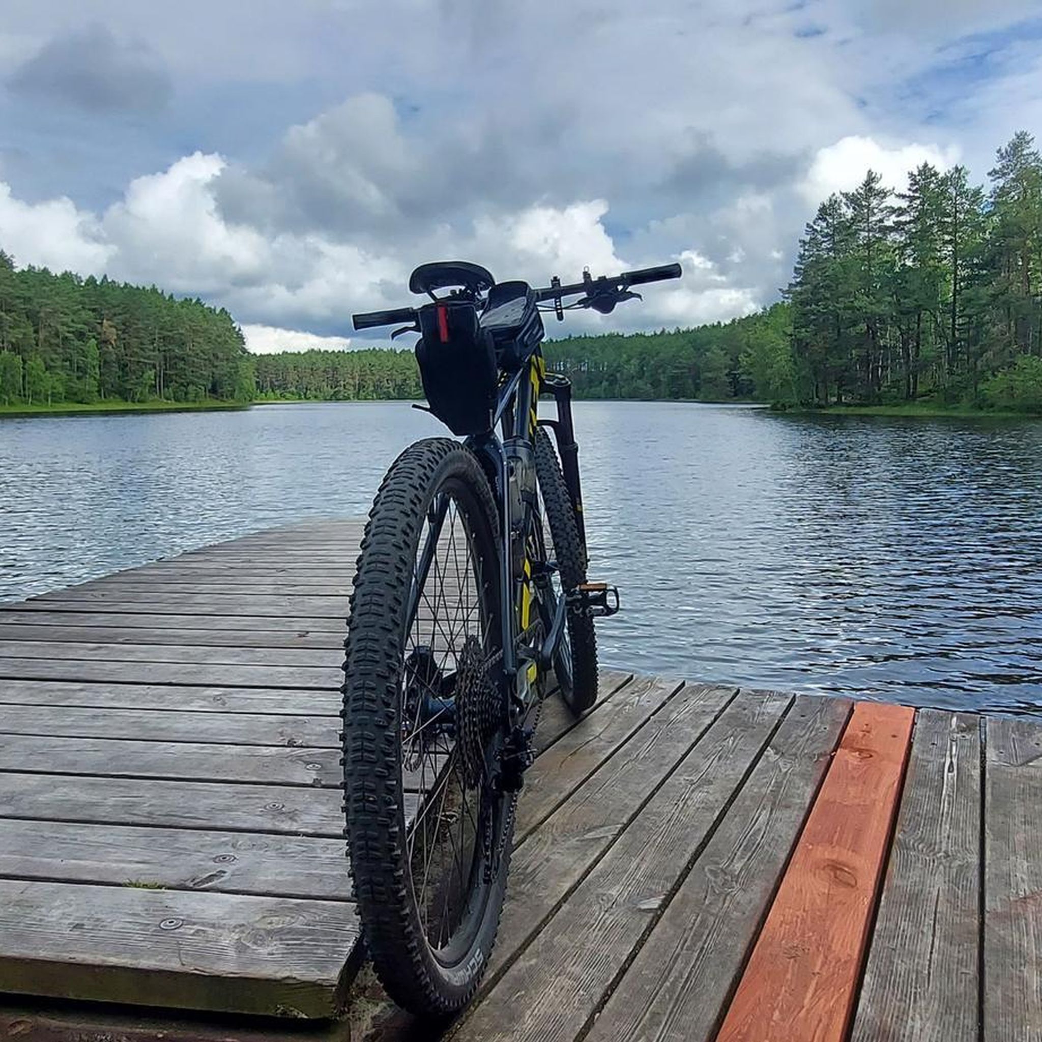
Jefferson Forest Trails form an informal network of natural-surface paths in the Jefferson Forest area of Richmond Hill. The system includes winding singletrack routes through mixed woodland, with sandy sections, tree roots and gentle elevation changes. Popular with hikers, trail runners, and mountain bikers, the trails are not formally signed, so local knowledge and/or your offline komoot GPS route are best for navigation.
0
0
The Gravel Cut Trail is a roughly 4 kilometre gravel-surfaced multi-use path running through Jefferson Forest that links many of the smaller forest trails. It’s relatively flat and easy, suitable for hikers, trail runners and cyclists as an access spine to the surrounding network. As a main trail in the area, it helps connect users to both technical singletrack routes and quieter wooded segments.
0
0

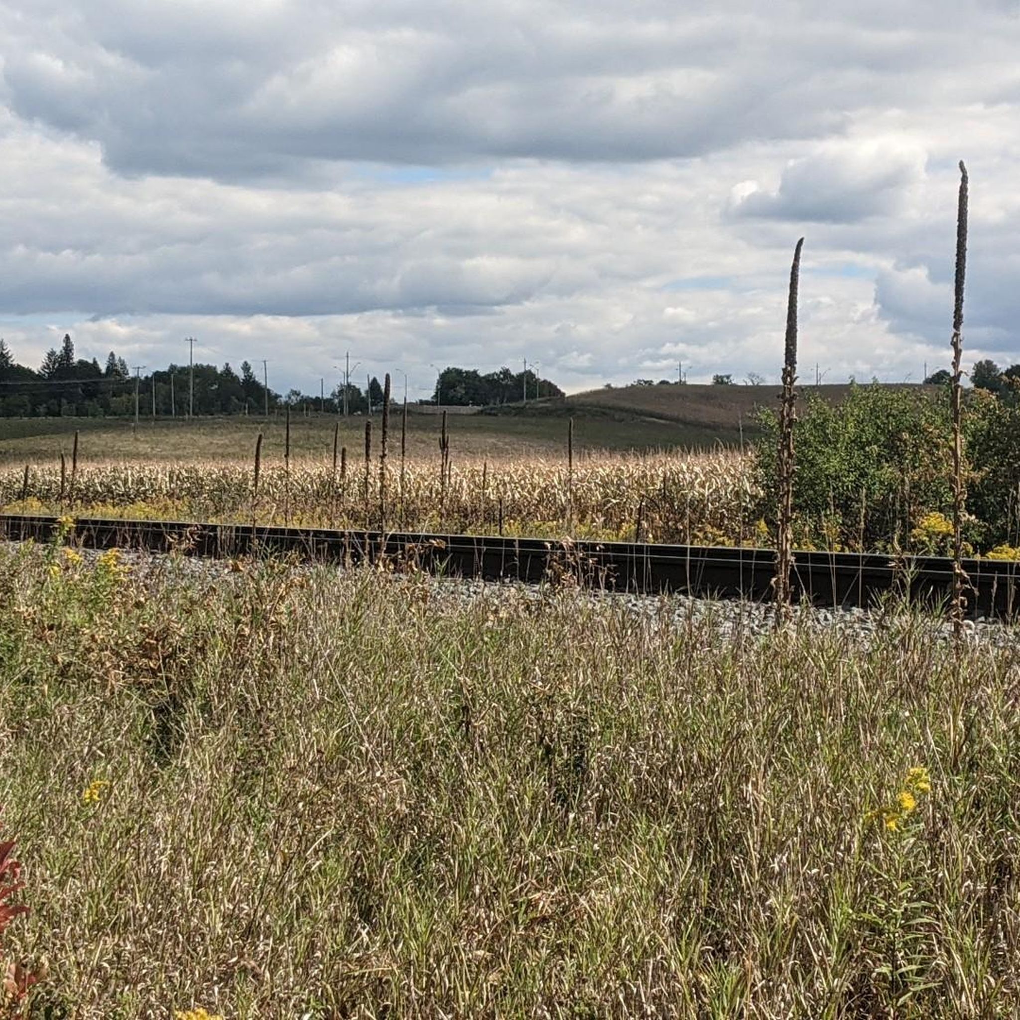
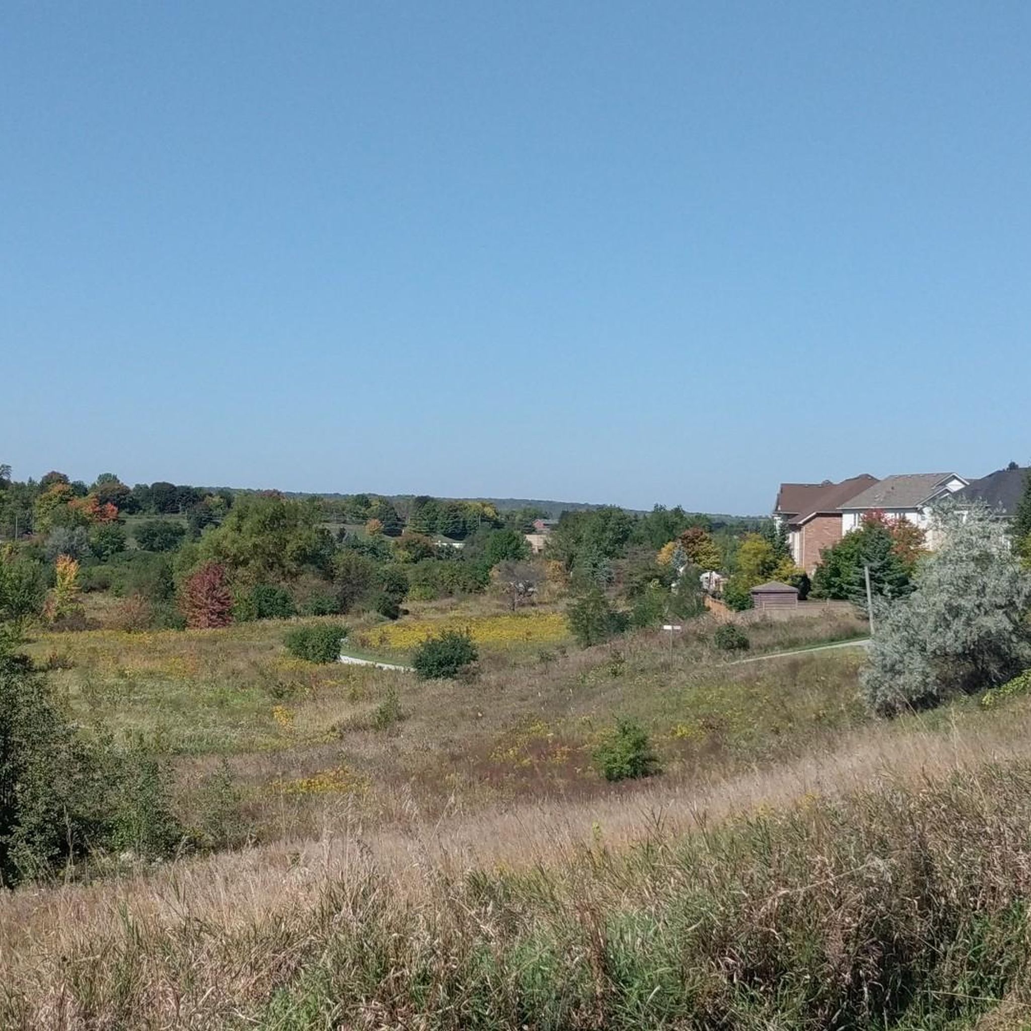
This isn't the highest hill you'll ever climb, but you will have a good view over the surrounding area from up here.
1
0
This isn't the highest hill you'll ever climb, but you do have a nice view out to the horizon from here.
1
0
Oak Ridges Corridor Conservation Reserve spans over 175 hectares across Ontario’s Oak Ridges Moraine and protects living landscapes of kettle lakes, wetlands, forests and meadows. A network of trails winds through mature pine and hardwood groves.
0
0
Frequently Asked Questions
What types of hiking trails can I find around Aurora?
Aurora's hiking landscape is characterized by a mix of wooded areas, natural landscapes, and varied terrain. You'll find trails that explore forests, connect to conservation areas, and offer serene natural settings. Many routes are relatively flat, making them accessible for various skill levels.
How many hiking trails are available in Aurora?
There are over 60 hiking routes available around Aurora, with the majority being easy to moderate in difficulty. This provides a wide range of options for different preferences and fitness levels.
Are there any easy hiking trails suitable for beginners or families?
Yes, Aurora offers many easy trails. For example, the Sheppard's Bush and Vandorf Woodlot via Nokiidaa Trail — Aurora is an easy 7.3 km route that takes less than two hours to complete, exploring wooded areas. Another accessible option is the Hiking loop from Thornton Bales Conservation Area (99 Steps), which is about 7.2 km.
What do other hikers say about the trails in Aurora?
The trails in Aurora are highly regarded by the komoot community, holding an average rating of 4.8 out of 5 stars from over 100 reviews. Hikers often praise the well-maintained paths, the peaceful natural surroundings, and the variety of landscapes encountered.
Are there any circular hiking routes in Aurora?
Yes, you can find several circular routes. An example is The Fort – Bond Lake loop from Aurora—Oak Ridges—Richmond Hill, a moderate 15.3 km trail that offers a scenic loop experience.
What are some notable natural features or attractions I can see while hiking?
While hiking around Aurora, you can explore various natural attractions. Highlights include Bond Lake and Wilcox Lake Promenade. You might also encounter the Oak Ridges Corridor Conservation Reserve, offering beautiful forest scenery.
Are there any trails that are particularly good for longer hikes?
For longer excursions, consider trails like the Tom Taylor Trail — Aurora, which spans 17.3 km and takes over four hours to complete, offering a more extended experience through diverse natural settings.
What kind of wildlife might I encounter on the trails?
Aurora's natural areas are home to various wildlife. While specific sightings depend on the trail and season, you might spot local bird species, small mammals, and other forest inhabitants, especially in quieter, wooded sections of the trails.
Are there any trails that connect to other significant natural areas?
Many trails in Aurora are part of a larger network or connect to conservation areas. For instance, the Hiking loop from Thornton Bales Conservation Area (99 Steps) offers access to a well-known local conservation area, providing extended exploration opportunities.
What is the best time of year to go hiking in Aurora?
Aurora offers hiking opportunities throughout the year. Spring and fall provide pleasant temperatures and vibrant scenery, while summer is ideal for longer days. Winter hiking is also possible, especially on well-maintained paths, though conditions may vary.
Are there any trails suitable for a moderate challenge?
Yes, for a moderate challenge, the Tim Jones Trail is an excellent choice. This 13.4 km path offers varied terrain and takes approximately 3 hours and 27 minutes to complete, providing a good workout for experienced hikers.
Most popular attractions around Aurora

Get inspired with the komoot mobile app


Explore more
Browse the best Hikes in other regions.
