The best cycling routes around Markham
4.7
(52)
305
riders
31
rides
Touring cycling around Markham features an extensive network of routes that traverse diverse natural landscapes and urban green spaces. The region is characterized by its numerous waterways, including the Rouge River and East Don River, which flow through protected areas like Rouge National Urban Park and Milne Dam Conservation Park. Cyclists will find a mix of multi-use trails, boardwalks, and gravel paths, with gentle elevation changes across its parks and conservation areas.
Best touring cycling routes around Markham
- The most popular touring cycling route is Milne Dam – Toogood Pond loop from Boxwood Public School, a 13.5 miles (21.7 km) trail that takes 1 hour 40 minutes to complete, connecting two significant natural attractions.
- Another top favourite among local touring cyclists is Milne Dam Lake – Milne Dam loop from Unionville, an easy 16.9 miles (27.3 km) path that explores local parks and waterways.
- Local touring cyclists also love the Milne Dam – Toogood Pond loop from Richmond Green Secondary School, a 24.2 miles (38.9 km) trail leading through parks and along waterways, often completed in about 2 hours 45 minutes.
- Touring cycling around Markham is defined by its river valleys, conservation parks, and numerous ponds, offering a network of routes suitable for various ability levels.
- The routes in Markham are highly rated by the komoot community with an average score of 4.6 stars from over 40 reviews. More than 300 touring cyclists have used komoot to explore Markham's varied terrain.
Last updated: October 5, 2026
4.4
(5)
55
riders
21.8km
01:41
90m
90m
Easy bike ride. Great for any fitness level. Mostly paved surfaces. Suitable for all skill levels.
4.0
(3)
19
riders
27.5km
01:56
120m
120m
Easy bike ride. Great for any fitness level. Mostly paved surfaces. Suitable for all skill levels.

5.0
(3)
27
riders
39.2km
02:45
200m
200m
Moderate bike ride. Good fitness required. Mostly paved surfaces. Suitable for all skill levels.
4.7
(11)
29
riders
Easy bike ride. Great for any fitness level. Mostly paved surfaces. Suitable for all skill levels.
4.5
(4)
34
riders
Moderate bike ride. Good fitness required. Mostly paved surfaces. Suitable for all skill levels.
Get access to more routes and recommendations from other explorers.
Already have an account?
Our route recommendations are based on thousands of hikes, rides, and runs completed by other people on komoot.
Start today with a free account
Your next adventure awaits.

Tips from the Community

The entirety of the Rouge National Park Trail spans just over 70 kilometres, and the Major MacKenzie Section is 6.8 kilometres, stretching from 16th Avenue to Major MacKenzie Drive East, both locations having a parking area and trailhead. The other sections include Northeast Trail, Central Trail, Monarch Trail and the Harvest Trail. This section is flat with wide open views of forests, farm land, and small waterways. The trail is made of gravel and has little shade, so come prepared with sun protection.
0
0
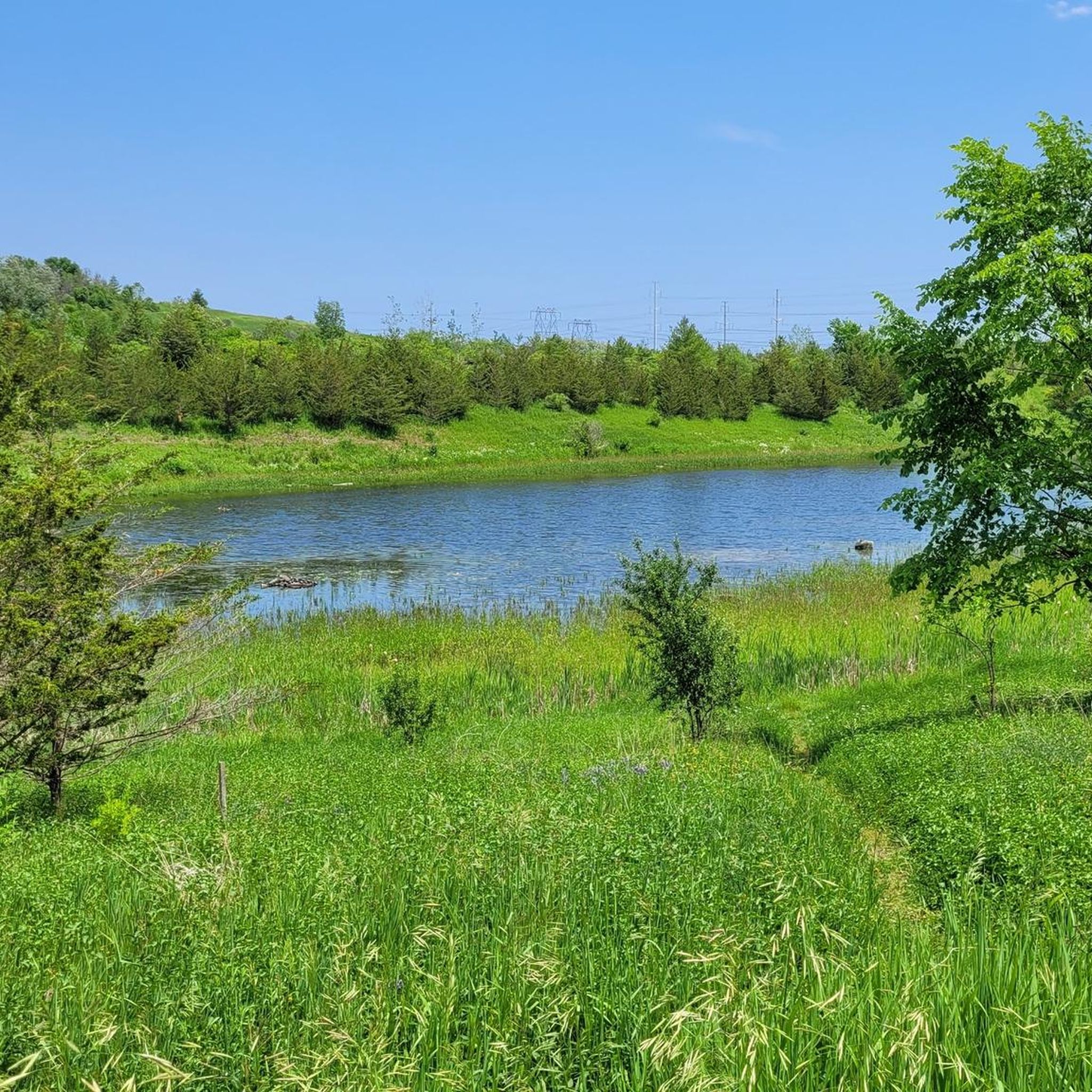
The Major Mackenzie Parking Lot and Road Crossing is a well-maintained parking area and access to the Rouge National Urban Park Trail. The parking lot is paved and has a safe pedestrian crossing with its own designated stop light for crossings. Just a few metres north from the Major Mackenzie Parking Lot and Road Crossing is a small scenic pond. The Rouge National Park Trail skirts the pond with a well-maintained wooden boardwalk.
1
0
This wooden pedestrian and cycle bridge spans an offshoot of Little Rouge Creek. It is a great bridge to spot some wildlife while crossing.
0
0

This boardwalk allows you to walk through the marsh surrounding the Rouge River south of Highway 7. From here you can connect to several trails, including the trails in Mine Dam Park to the east.
0
0

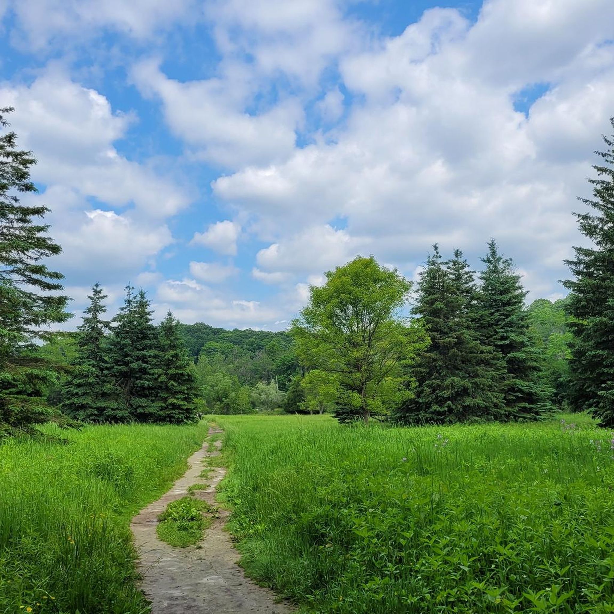
Rouge National Urban Park Trail is an easy, beautiful multi-use route through one of Canada’s most diverse protected landscapes, connecting forests, wetlands, meadows, and working farmland. It’s a well-maintained path with a few boardwalks that cross creeks and pass restored natural areas, with excellent opportunities to spot birds, turtles, and other wildlife. It’s a great way to experience the unique mix of nature and active farmland that makes Rouge National Urban Park unlike any other national park.
0
0
Black Walnut Day Use Area is a hub for access to several trails in Rouge National Urban Park. There is ample free parking, washrooms, water refill stations, picnic areas, and trail information, making it a convenient place to start and end your journey. From here, you can explore trails through restored wetlands, forests, and the park’s historic agricultural landscape.
0
0

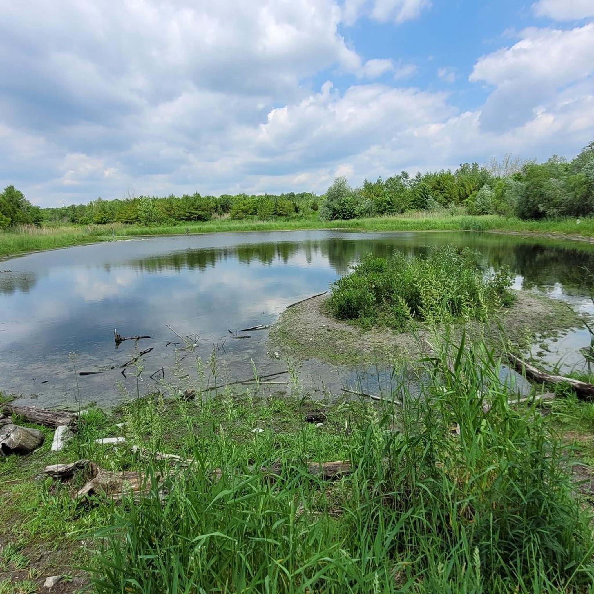
Austin Drive Park has two stormwater ponds that collect the excess rainwater that flows into the river. This reduces erosion and the amount of sediment flowing into the river during storm events. The pond is great to just sit and enjoy, especially the songbirds. You can listen to goldfinches, cardinals, and sparrows.
1
0

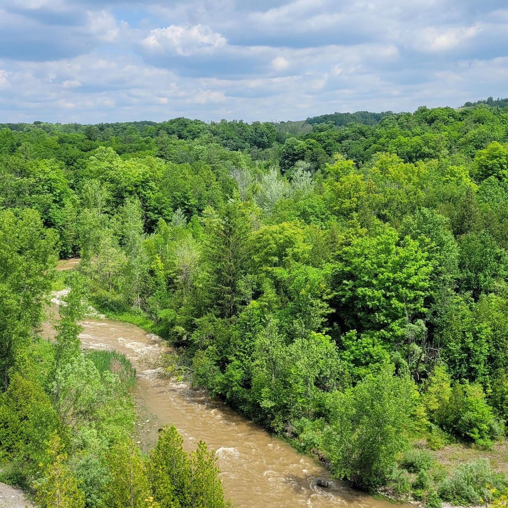
The pedestrian bridge crossing the East Branch of the Don River in Finch Hydro Corridor Park is a fantastic structural highlight. Located just east of Bayview Avenue, this sturdy steel-framed bridge allows you to cross the wide ravine safely. It connects the long, paved corridor trail seamlessly, saving you from navigating busy city street traffic below.
0
0
Frequently Asked Questions
How many touring cycling routes are available in Markham?
Markham offers a wide selection of touring cycling routes, with over 35 routes documented on komoot. These routes cater to various preferences, ranging from easy family rides to more moderate excursions through diverse landscapes.
What kind of terrain can I expect on Markham's cycling routes?
Markham's touring cycling routes primarily feature gentle elevation changes, traversing river valleys, conservation parks, and numerous ponds. You'll encounter a mix of multi-use trails, boardwalks, and gravel paths, particularly along waterways like the Rouge River and East Don River.
Are there any easy touring cycling routes suitable for beginners or families?
Yes, Markham has many easy routes perfect for beginners and families. For example, the East Don Parklands – East Don River Trail loop from St. Robert Catholic High School is an easy 18.2 km ride. The Milne Dam – Milne Dam Lake loop from Boxwood Public School is another easy option, covering 13.3 km.
What are some notable natural features or landmarks I can see along the routes?
Markham's routes often pass through significant natural areas. You can explore the scenic Rouge River, which flows through Rouge National Urban Park, or visit Milne Dam Conservation Park. The Milne Dam itself is a historical point of interest. Other highlights include Toogood Pond, Unionville Valleylands Trail, and the East Don River Trail, offering opportunities for wildlife spotting and serene breaks.
Are there any circular touring cycling routes in Markham?
Many of Markham's touring cycling routes are designed as loops, allowing you to start and end at the same point. A popular example is the Milne Dam – Toogood Pond loop from Boxwood Public School, which connects two major natural attractions. Another option is the Milne Dam – Toogood Pond loop from Richmond Green Secondary School, offering a longer ride through parks and along waterways.
What do other touring cyclists say about cycling in Markham?
The komoot community highly rates touring cycling in Markham, with an average score of 4.6 stars from over 40 reviews. Cyclists frequently praise the well-maintained trails, the diverse natural landscapes, and the peaceful atmosphere found along the river valleys and conservation areas.
When is the best time of year to go touring cycling in Markham?
Markham's trails are enjoyable throughout the warmer months, typically from spring to fall. Spring offers lush greenery, while autumn provides beautiful fall foliage. Summer is also popular, but it's advisable to cycle during cooler parts of the day. Always check local weather conditions before heading out.
Are there any routes that offer a more challenging experience?
While many routes are easy, Markham also offers moderate options for those seeking a bit more challenge. The Bike loop from Markham—Stouffville is a moderate 29.0 km path with varied scenery and slightly more elevation gain, providing a good workout for experienced touring cyclists.
Can I bring my dog on the cycling trails in Markham?
Many parks and trails in Markham are dog-friendly, provided dogs are kept on a leash. Areas like Milne Dam Conservation Park and Toogood Pond Park generally welcome leashed dogs. However, it's always best to check specific park regulations or trail signage for any restrictions before your visit.
Are there places to eat or get refreshments near the cycling routes?
Yes, Markham offers several areas with amenities. Unionville Main Street, for instance, is a charming historic area with shops, cafes, and restaurants, making it a great stop during a cycling tour. Many parks also feature picnic areas for a packed lunch.
Is there public transport access to the cycling routes?
Markham has a public transit system, York Region Transit (YRT), which connects various parts of the city. Some routes and parks may be accessible via bus, though direct access to trailheads might require a short ride or walk from a bus stop. Cyclists should check YRT schedules and bike-on-bus policies for specific routes.
Where can I find parking for the cycling trails?
Many of Markham's parks and trail access points offer dedicated parking facilities. For instance, Milne Dam Conservation Park and Toogood Pond Park have parking available. For specific routes, it's recommended to check the starting point on komoot for detailed parking information.
Most popular routes around Markham
Most popular attractions around Markham

Get inspired with the komoot mobile app


Explore more
Browse the best Cycling routes in other regions.
