The best road cycling routes around Fort Erie
4.3
(15)
561
riders
31
rides
Road cycling routes around Fort Erie are characterized by predominantly flat terrain along extensive waterfronts, including the Lake Erie shoreline and the Niagara River. The region features a network of paved trails, many built on former railway lines, providing smooth and accessible rides. These routes often pass through green spaces, parks, and offer views across the water. The landscape is defined by its position at the southeastern corner of the Niagara Region, connecting to larger trail systems like the Greater Niagara Circle Route.
Best road cycling routes around Fort Erie
- The most popular road cycling route is Erie Canal Shoreline Trail from Scajaquada Creek to Veterans Park loop, a 15.9 miles (25.7 km) trail that takes 1 hour 9 minutes to complete. This easy route offers scenic views along the shoreline.
- Another top favourite among local road cyclists is From Utica to Nature Park View loop, an easy 28.8 miles (46.4 km) path. This route features flat terrain and passes through various green spaces.
- Local road cyclists also love the Delaware Park to Garrison Cemetery by the International Airport loop, a 22.3 miles (35.9 km) trail leading through parklands and urban fringes, often completed in about 1 hour 27 minutes.
- Road cycling around Fort Erie is defined by the Lake Erie shoreline, the Niagara River, and flat, paved former railway lines. The network offers options for easy, moderate, and difficult ability levels.
- The routes in Fort Erie are highly rated by the komoot community with an average score of 4.6 stars from over 10 reviews. More than 600 road cyclists have used komoot to explore Fort Erie's varied terrain.
Last updated: July 12, 2026
3
riders
Easy road ride. Great for any fitness level. Mostly well-paved surfaces and easy to ride.
3
riders
46.4km
01:46
70m
70m
Easy road ride. Great for any fitness level. Mostly well-paved surfaces and easy to ride.

Sign up for free
Easy road ride. Great for any fitness level. Mostly well-paved surfaces and easy to ride.
161km
06:57
450m
450m
Hard road ride. Very good fitness required. Mostly well-paved surfaces and easy to ride.
3.0
(2)
67
riders
48.3km
01:56
90m
90m
Easy road ride. Great for any fitness level. Mostly well-paved surfaces and easy to ride.
Get access to more routes and recommendations from other explorers.
Sign up for free
Already have an account?
Our route recommendations are based on thousands of hikes, rides, and runs completed by other people on komoot.
Start today with a free account
Your next adventure awaits.
Login or Signup
Popular around Fort Erie
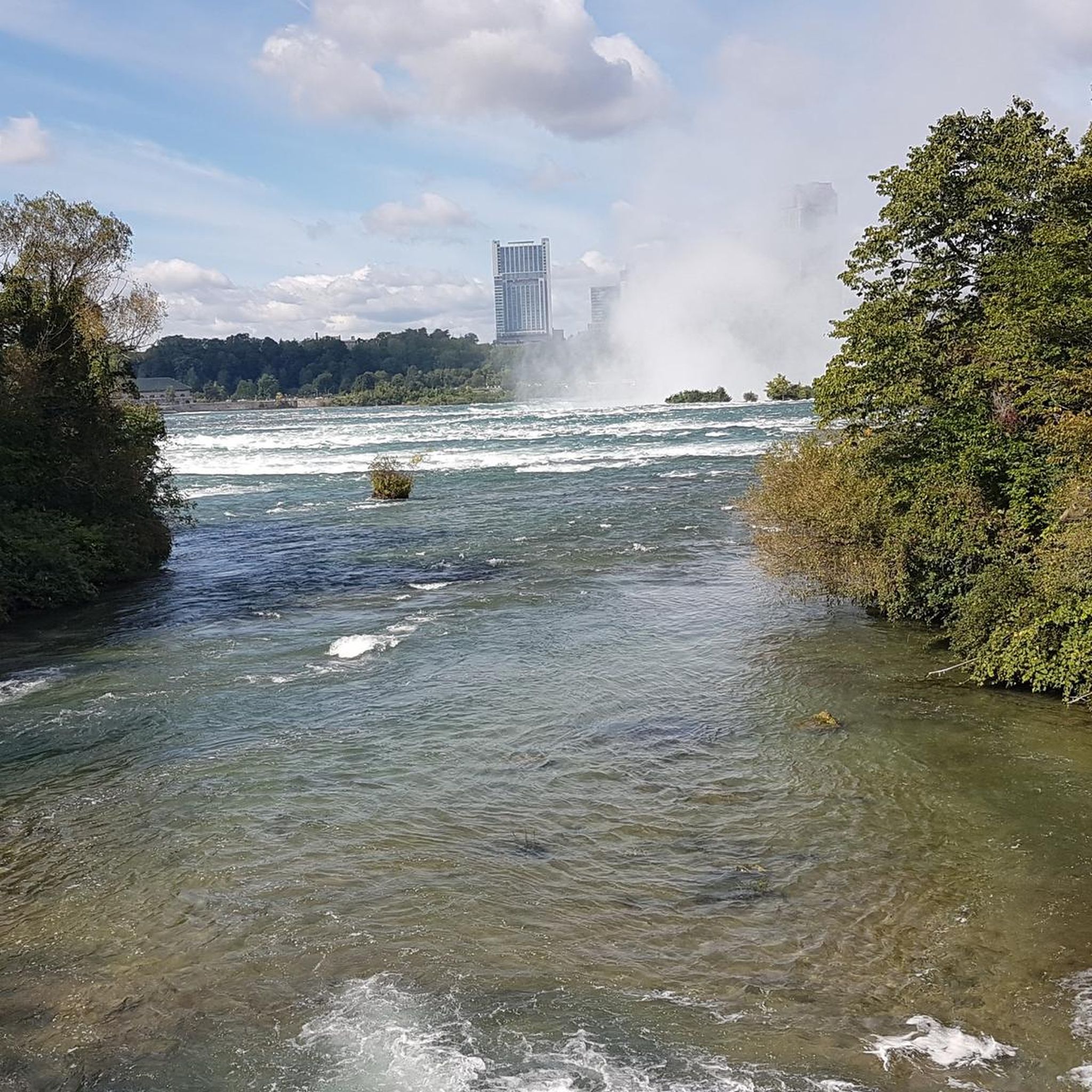
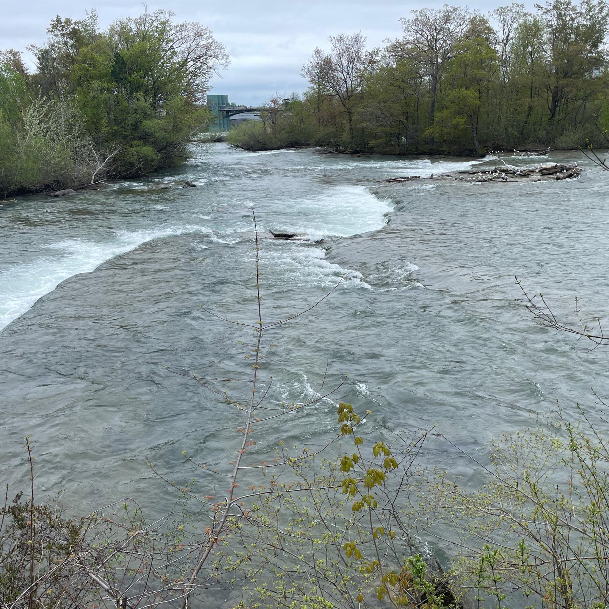
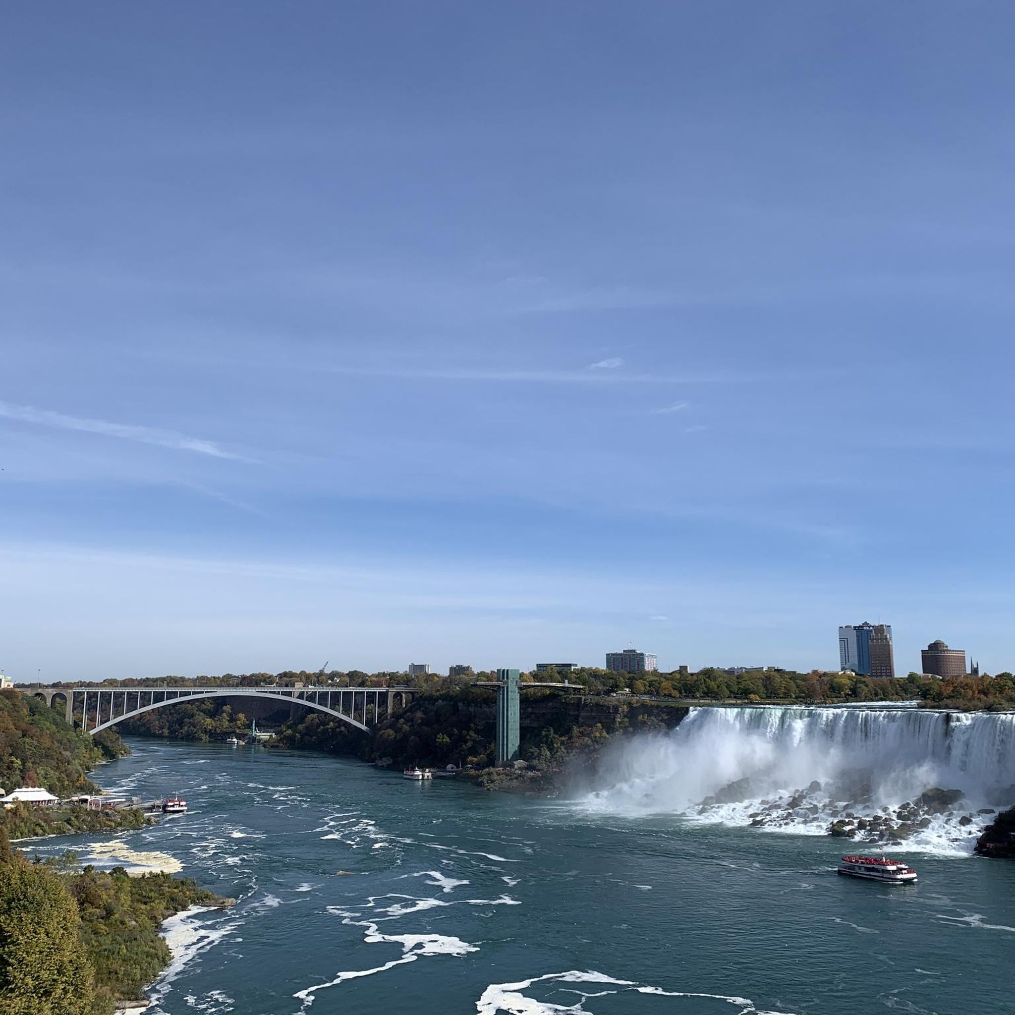
Tips from the Community

A beautiful little gem! Beautiful views, plenty of picnic tables, restrooms, a playground, informative signs, and two pairs of binoculars. I'm already looking forward to more picnics there! Beware of a wasp nest in the ground and the strong smell of dead fish among the rocks.
0
0

The Tonawanda Rails-to-Trails path is a biking and walking path that is paved and is 3.9 miles long. This trail is made up of two parts; the first part is above a former railroad in the Town of Tonawanda and the other in the City of Tonawanda. This old railroad corridor was formerly in use for both freight trails and passenger trains with two track systems in the 1880's.
0
0

This 1.2-mile-long riverside park is popular for bikers, but that's just a tithe on the activity you can see here: People-watching opportunities include rollerblades, boaters, waterskiers, sunbathers, fisher, birdwatchers and many more.
0
0

Open to runners, walkers, bike riders, and pedestrians in general, the Tifft Street Pier looks over the Buffalo Harbor South Entrance and a few different grain elevators. You can run along the water for miles in both directions if you stick to the paved paths.
0
0
According to Town Line Legend in 1861, 125 men voted resolution to secede from the United States. Years later 1946, Town Line held a ceremony in to "rejoin" the Union. This gave Town Line the nickname "last holdout of the Confederacy”.
0
0
Garrison Cemetery was also known as the "War of 1812 Cemetery". The cemetery was built after the Williamsville Field Hospital was built during the War of 1812. Most of the patients here were soldiers that died of bacterial infections that caused dysentery, diarrhea, etc.
0
0
A dark sand beach, Gallagher Beach looks a little bit out of place among the old industrial giants in the area. But this beach is hidden gem, catch sun bathers and swimmers there in the summer time enjoying the warmth!
0
0
This is an important historical site in Buffalo. In this cemetery, on the west side you can visit Philip Knoche House and the Tonawanda-Kenmore Historical Society Museum.
0
0
Frequently Asked Questions
How many road cycling routes are available in Fort Erie?
There are over 35 road cycling routes around Fort Erie documented on komoot. These routes offer a variety of experiences, with 24 classified as easy, 10 as moderate, and 2 as difficult, catering to different skill levels.
What is the typical terrain and difficulty level for road cycling in Fort Erie?
Road cycling in Fort Erie is predominantly characterized by flat terrain, especially along the extensive waterfronts of Lake Erie and the Niagara River. Many routes utilize paved trails built on former railway lines, ensuring smooth and accessible rides. While most routes are easy to moderate, there are a few more challenging options for experienced cyclists.
Are there any family-friendly road cycling routes in Fort Erie?
Yes, Fort Erie offers several family-friendly options due to its flat and paved trails. The Erie Canal Shoreline Trail from Scajaquada Creek to Veterans Park loop is an easy 25.7 km route that provides scenic views along the shoreline, perfect for a leisurely family ride. The Friendship Trail, a 16-kilometer paved path built on a former railway line, is also excellent for families, offering a smooth and level ride through tranquil countryside and along Lake Erie.
What are some notable landmarks or viewpoints I can see along the road cycling routes?
Fort Erie's routes offer numerous scenic viewpoints and historical landmarks. You can enjoy stunning views of the Niagara River along the Niagara River Recreational Trail, with Buffalo visible across the water. The Mather Arch Park, near the Peace Bridge, is a serene stop. Historical sites like Old Fort Erie provide a glimpse into Canada's past. For specific viewpoints, consider visiting Wilkeson Point, which offers great views.
Are there any circular road cycling routes in Fort Erie?
Yes, many routes in Fort Erie are designed as loops. For example, the From Utica to Nature Park View loop is an easy 46.4 km path that takes you through various green spaces. Another option is the Delaware Park to Garrison Cemetery by the International Airport loop, a 35.9 km trail through parklands and urban fringes.
What is the best time of year for road cycling in Fort Erie?
The best time for road cycling in Fort Erie is typically from spring through fall, when the weather is mild and the trails are clear. Summer offers warm temperatures, ideal for enjoying the Lake Erie shoreline and beaches. While winter cycling is possible, some trails may be affected by snow and ice, so it's advisable to check local conditions.
Can I access the road cycling trails using public transport, and is parking available?
While specific public transport access directly to trailheads may vary, Fort Erie is generally accessible. For parking, many popular trailheads, especially along the Friendship Trail and Niagara River Recreational Trail, offer designated parking areas. It's always a good idea to check specific starting points for available parking facilities.
What do other road cyclists enjoy most about road cycling in Fort Erie?
The road cycling routes around Fort Erie are highly rated by the komoot community, with an average score of 4.6 stars from over 10 reviews. Cyclists often praise the region's flat, well-maintained paved trails, the stunning waterfront views along Lake Erie and the Niagara River, and the ability to connect to larger networks like the Greater Niagara Circle Route.
Are there any cafes or amenities along the road cycling paths in Fort Erie?
Yes, many routes in Fort Erie pass through or near charming villages and towns like Ridgeway, Crystal Beach, and Stevensville, where you can find local markets, cafes, and pubs. The Niagara River Recreational Trail also offers amenities along its extensive path. For specific facilities, Aqua Lane Park is one such location.
What are the connections to larger cycling networks from Fort Erie?
Fort Erie is a key hub for larger cycling networks. The Friendship Trail is part of the Greater Niagara Circle Route, a 140 km network of mostly off-road, paved trails. This route connects Fort Erie to Port Colborne and links to the Lake Ontario Waterfront Trail, which extends further into Ontario, and the Trans-Canada Trail, offering extensive long-distance cycling opportunities.
Are there any advanced or longer road cycling routes near Fort Erie?
For more advanced cyclists looking for a longer challenge, the Century Ride around Erie County is a difficult 160.9 km route with over 450 meters of elevation gain, offering a significant endurance test. This route provides a comprehensive tour of the wider region for experienced riders.
What natural features can I expect to see while cycling in Fort Erie?
Fort Erie's natural beauty is defined by its position along Lake Erie and the Niagara River. Cyclists can enjoy 50 kilometers of sparkling waterfront, sandy beaches like Bay Beach, and the majestic Niagara River. Routes often pass through green spaces such as Shagbark Nature Park, United Empire Loyalist Park, and Stevensville Conservation Area, showcasing diverse woodlands and meadows.
Most popular routes around Fort Erie
Most popular attractions around Fort Erie

Get inspired with the komoot mobile app


Explore more
Browse the best Road cycling routes in other regions.
