The best road cycling routes around North Dumfries
3.8
(6)
104
riders
14
rides
Road cycling routes around North Dumfries traverse a landscape characterized by rolling countrysides and fertile farmlands, offering varied terrain for cyclists. The region features scenic waterways and is part of the Grand Watershed Trails Network, providing opportunities to explore natural environments. These routes often pass through charming rural areas and historic villages, presenting a peaceful retreat for cyclists. The gentle undulations of the terrain can accommodate both leisurely rides and routes with some elevation gain.
Best road cycling routes around…
Last updated: October 21, 2026
6
riders
37km
01:31
180m
180m
Easy road ride. Great for any fitness level. Mostly well-paved surfaces and easy to ride.
8
riders
Moderate road ride. Good fitness required. Some segments of this route may be unpaved and difficult to ride.

13
riders
Moderate road ride. Great for any fitness level. Some segments of this route may be unpaved and difficult to ride.
5.0
(3)
9
riders
Easy road ride. Great for any fitness level. Mostly well-paved surfaces and easy to ride.
3
riders
19.7km
00:48
110m
110m
Easy road ride. Great for any fitness level. Mostly well-paved surfaces and easy to ride.
Get access to more routes and recommendations from other explorers.
Already have an account?
Our route recommendations are based on thousands of hikes, rides, and runs completed by other people on komoot.
Start today with a free account
Your next adventure awaits.

Tips from the Community

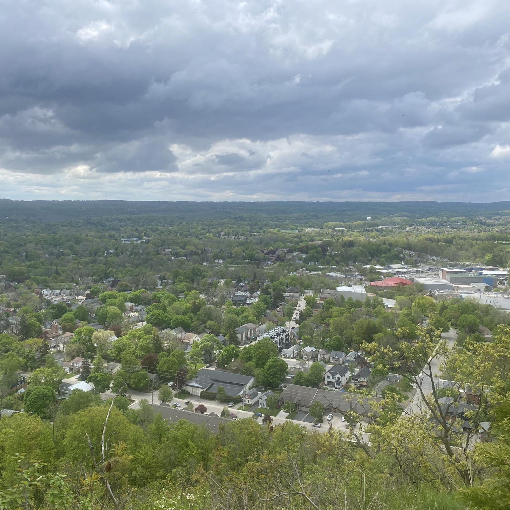
The Walter Bean Grand River Trailhead is the perfect spot to start or end a hike on either the Grand Trunk Trail or the Grand River Trail. There are maps, trash cans and a dirt parking area here, and sometimes a porta-potty, but that is not always available.
0
0

This trailhead sits at the end of Forbes Street, and has a large parking area, public washroom, and a couple of nice benches with easy access to both the Cambridge to Paris Rail Trail and the Grand River canoe launch. Situated along the banks of the river, it’s a great spot for a lovely picnic and a convenient starting point for exploring one of the trail’s most scenic stretches.
0
0
Canadian General-Tower Trailhead is the northern terminus of the Cambridge to Paris Rail Trail, with a large parking area and direct access to the crushed-gravel route. From here, the trail follows the Grand River through beautiful, peaceful woodland, leaving the city behind. There are no facilities here, so plan accordingly before heading out to explore.
0
0
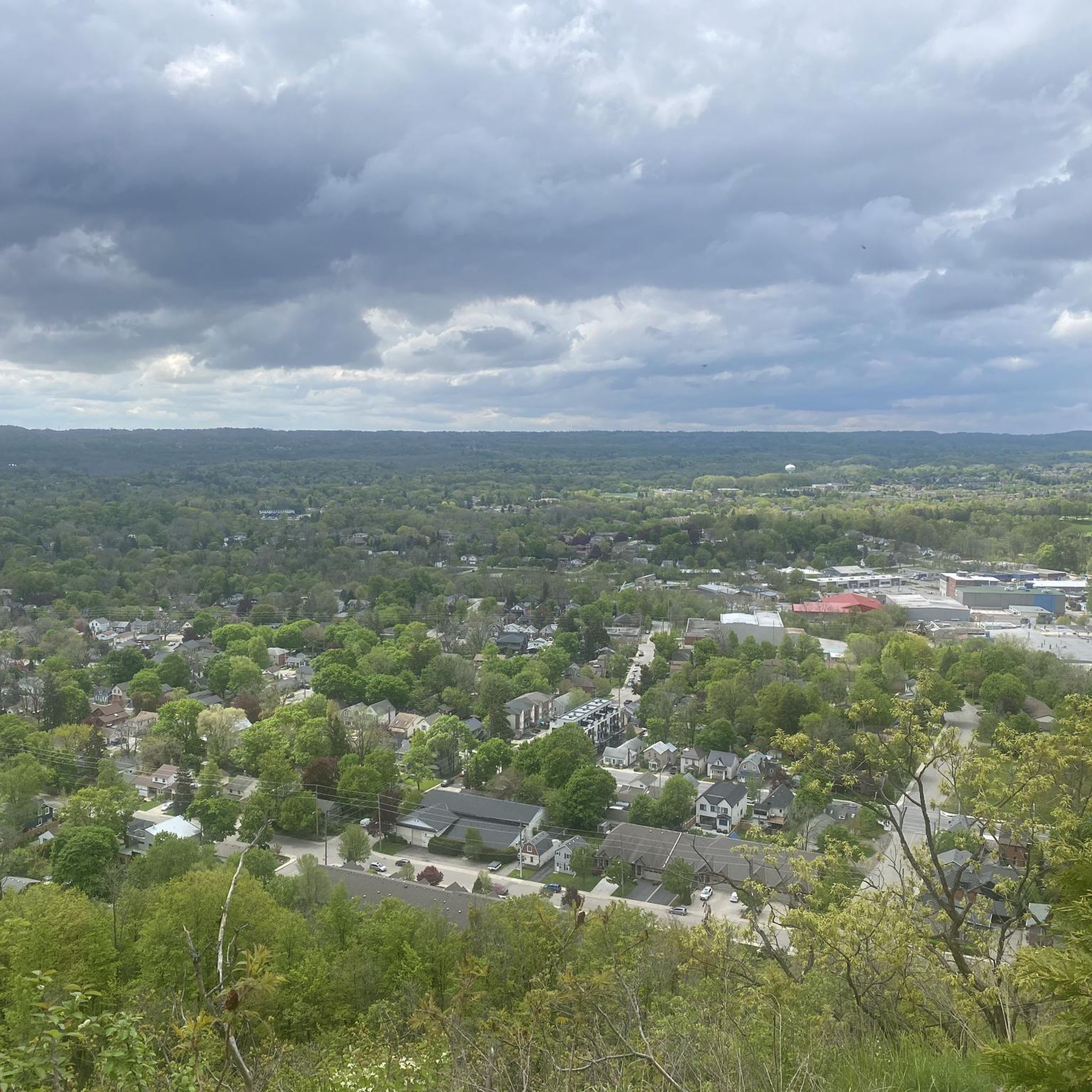
Drynan Regional Forest's parking area is a small dirt parking lot that can fit about 10 cars. If the lot fills up, additional parking is typically permitted along the side of the Dumfries Road. It's free to enter Drynan Regional Forest, and there are trash cans at this trailhead, but no restrooms.
0
0
Schneider Creek winds through Kitchener, flowing past neighbourhoods, parks, and natural areas before it reaches the Grand River. Paths and green spaces follow sections of the creek, with mature trees, small bridges, and quiet pockets of nature creating peaceful places to pause along the water. Although it passes through urban areas, some sections feel surprisingly calm, with birds and other wildlife often spotted nearby.
0
0

The monument does more than just show off old European design. It sits at the center of modern community conversations. As you walk by, you might notice how it serves as a powerful reminder of Canada's complex colonial past. In fact, local groups are working to add new Indigenous artwork nearby to give you a fuller look at the area's diverse history.
0
0
Officially named Otis Little Lake but known by locals simply as the lake at Victoria Park, this man-made gem has been a community hub since 1896.
0
0
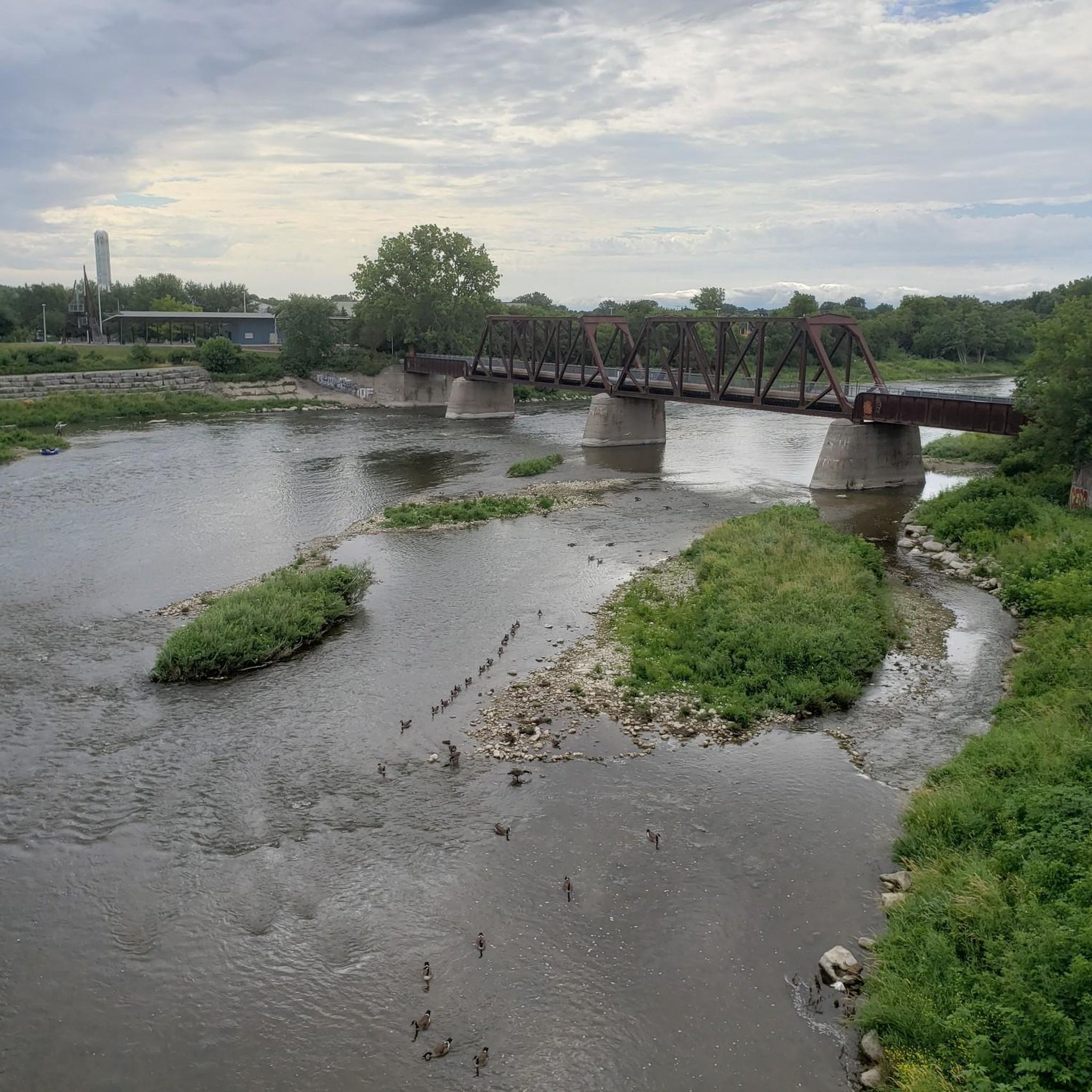
Built back in 1896, this rare, iron-and-steel cantilever truss bridge is one of the oldest of its kind in Canada.
1
0
Frequently Asked Questions
How many road cycling routes are available in North Dumfries?
North Dumfries offers a selection of 15 road cycling routes, catering to various skill levels. You'll find 6 easy routes perfect for a relaxed ride and 9 moderate routes for those seeking a bit more challenge.
What kind of terrain can I expect on road cycling routes in North Dumfries?
The road cycling routes in North Dumfries are characterized by rolling countrysides, fertile farmlands, and scenic waterways. While many routes feature gentle undulations, some, like the Grand River – Devil’s Creek Trail loop, offer significant elevation gain, providing varied terrain for all cyclists.
Are there any easy road cycling routes suitable for beginners or families?
Yes, North Dumfries has several easy road cycling routes. The Elmira Park loop from Hespeler is a popular choice, offering a mostly well-paved ride through rural scenery. Another accessible option is the Branchton Pond loop from Cornerstone Community Church, which is also an easy road ride on mostly well-paved surfaces.
What are some scenic highlights or natural features to look out for on these routes?
Road cycling in North Dumfries allows you to experience the region's natural beauty, including the significant Grand River and Nith River, along with numerous creeks and ponds. You might also pass by conservation areas like the FWR Dickson Wilderness Area or the rare Charitable Research Reserve, known for their diverse habitats and trails.
Are there any historic villages or attractions along the road cycling routes?
Absolutely. Many routes pass through or near charming historic villages. Downtown Ayr, with its heritage feel, is a notable stop. Other historic areas include Roseville and Greenfield. You might also encounter landmarks like the Detweiler Meeting House or the Ayr Ice House, offering a glimpse into the region's past. For more attractions, consider exploring Paris, Ontario, or the Walter Bean Grand River Trail.
What do other road cyclists enjoy most about road cycling in North Dumfries?
The komoot community highly rates road cycling in North Dumfries, with an average score of 3.3 stars. Cyclists often praise the peaceful rural scenery, the variety of routes from easy to moderate, and the opportunity to explore charming villages and natural waterways.
Are there any routes that follow the Grand River?
Yes, the Grand River is a significant feature of the region. The Grand River – Devil’s Creek Trail loop from Glenview Park Secondary School is a moderate route that allows cyclists to experience the Grand River's green corridor and the Devil's Creek Trail, which features boardwalks and forested wetlands.
Can I find routes that pass through parks or green spaces?
Certainly. The Homer Watson Park – Flower Garden with Fountain loop from Conestoga College - Doon Campus is a moderate route that takes you through a relaxed green space with quiet forests and open meadows. You can also explore Homer Watson Park itself or Riverside Park.
What is the best time of year for road cycling in North Dumfries?
North Dumfries offers pleasant road cycling conditions from spring through fall. The warmer months provide lush green landscapes, while autumn brings vibrant fall colors, making both seasons ideal for exploring the region's scenic routes.
Where can I find information about cycling infrastructure or maps for the wider region?
The Region of Waterloo, which includes North Dumfries, provides bike maps highlighting cycling infrastructure, including scenic historic bridges and various trails. For more historical context about the township, you can visit the Region of Waterloo Museums website.
Are there any longer, more challenging road cycling routes available?
For a longer and more challenging ride, consider the Grand River – Devil’s Creek Trail loop from Glenview Park Secondary School. This moderate route spans 72.0 km and features significant elevation gain, making it suitable for cyclists with good fitness.
What is the typical pavement quality on road cycling routes in North Dumfries?
Many of the road cycling routes in North Dumfries, especially the easier ones, are on mostly well-paved surfaces. However, some moderate routes, particularly those that incorporate trail segments like the Devil's Creek Trail, may include unpaved sections, so it's good to be prepared for varied surfaces.
Most popular attractions around North Dumfries

Get inspired with the komoot mobile app


Explore more
Browse the best Road cycling routes in other regions.
