The best running trails around Cypress County
3.0
(2)
120
runners
21
runs
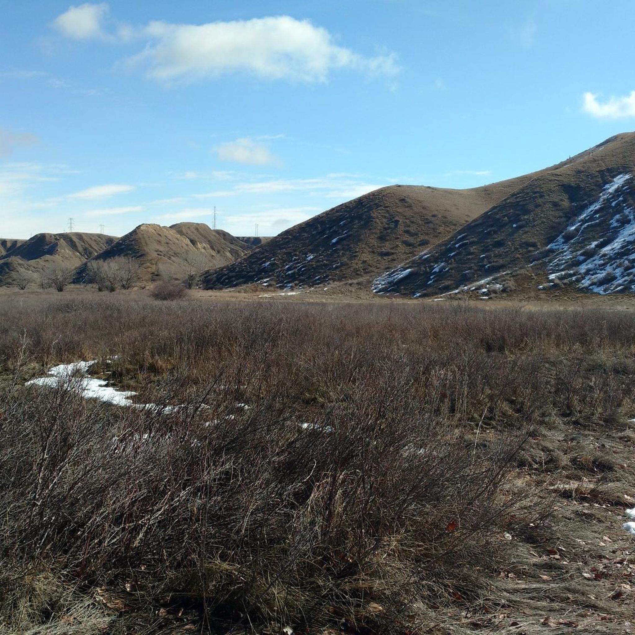
Jogging around Cypress County offers diverse terrain, transitioning from shortgrass prairie to mixed grasslands, wetlands, and montane habitats within the Cypress Hills region. The landscape features gently rolling prairies, challenging hilly sections, and extensive coulee systems carved by major rivers, creating striking badlands terrain. Cypress Hills Provincial Park, a prominent feature, provides a sudden ecological shift to thick forests and is the highest point in Canada between the Rocky Mountains and Labrador.
Best jogging routes around Cypress County
- The most…
Last updated: July 2, 2026
14
runners
11.9km
01:15
80m
80m
Moderate run. Good fitness required. Mostly paved surfaces. Suitable for all skill levels.
8
runners
7.11km
00:44
40m
40m
Moderate run. Good fitness required. Mostly paved surfaces. Suitable for all skill levels.

Sign up for free
10
runners
11.7km
01:15
20m
20m
Moderate run. Good fitness required. Mostly paved surfaces. Suitable for all skill levels.
7
runners
3.35km
00:21
10m
10m
Easy run. Great for any fitness level. Mostly paved surfaces. Suitable for all skill levels.
3.0
(1)
5
runners
7.19km
00:44
20m
20m
Moderate run. Good fitness required. Mostly paved surfaces. Suitable for all skill levels.
6
runners
7.04km
00:47
10m
10m
Moderate run. Good fitness required. Mostly paved surfaces. Suitable for all skill levels.
4
runners
9.84km
01:14
90m
100m
Hard run. Good fitness required. Sure-footedness, sturdy shoes and alpine experience required.
5
runners
9.31km
01:03
20m
20m
Moderate run. Good fitness required. Mostly paved surfaces. Suitable for all skill levels.
7
runners
9.07km
00:57
20m
20m
Moderate run. Good fitness required. Mostly paved surfaces. Suitable for all skill levels.
4
runners
6.46km
00:46
20m
20m
Moderate run. Good fitness required. Mostly paved surfaces. Suitable for all skill levels.
Get access to more routes and recommendations from other explorers.
Sign up for free
Already have an account?
Our route recommendations are based on thousands of hikes, rides, and runs completed by other people on komoot.
Start today with a free account
Your next adventure awaits.
Login or Signup
Popular around Cypress County
Tips from the Community

The South Saskatchewan River is one of Alberta's major rivers that flows through Medicine Hat, making a dramatic bend around Police Point. There are multiple trails along the river in town and is a popular place to visit for locals and tourists alike.
0
0
This paved trail follows along the South Saskatchewan River on the west side of its big bend around Police Point. It's easily reached from the historic downtown area of Medicine Hat and makes a good pre or post-meal walk.
0
0

Frequently Asked Questions
How many running routes are available in Cypress County?
Cypress County offers a diverse selection of over 20 running routes. These trails cater to various fitness levels, including 2 easy, 18 moderate, and 2 difficult options, ensuring there's a path for every runner.
What kind of terrain can I expect on the jogging trails in Cypress County?
The terrain in Cypress County is quite varied. You'll find everything from flat shortgrass prairies and gently rolling hills to more challenging, hilly sections within the Cypress Hills Provincial Park. Some areas also feature striking badlands terrain sculpted by rivers, offering a unique backdrop for your run.
Are there any easy running routes suitable for beginners in Cypress County?
Yes, there are easy running routes perfect for beginners or those seeking a more relaxed pace. One such option is the Running loop from Saamis Teepee, which is 3.2 km long with minimal elevation gain.
Where can I find challenging running trails in Cypress County?
For experienced runners looking for a challenge, Cypress County offers routes with significant elevation changes. The Running loop from Medicine Hat (city) is a difficult 9.8 km trail with notable climbs, while the Running loop from Elkwater, though moderate, features substantial elevation gain over its 14.3 km distance.
What scenic views or landmarks can I see while running in Cypress County?
Cypress County boasts several scenic spots. Within Cypress Hills Provincial Park, you can enjoy views from the View of Horseshoe Canyon, offering expansive vistas of the badlands. The Head of the Mountain lookout point, the highest point in Cypress Hills, also provides rewarding destinations for a run. The park itself, Cypress Hills Provincial Park, offers a dramatic shift from prairie to thick forests.
Are there any loop running trails in Cypress County?
Many of the running routes in Cypress County are designed as loops, providing a convenient way to explore without retracing your steps. Examples include the popular Sprint Training Route loop from Medicine Hat and the Old Bridge loop from Medicine Hat.
Can I find long-distance running routes in the area?
Yes, for those seeking longer runs, Cypress County has options. The Running loop from Elkwater covers 14.3 km, exploring the montane environment. Additionally, sections of the Trans Canada Trail within Cypress Hills Provincial Park offer over 16 km of rugged terrain for seasoned runners.
What is the best time of year to go running in Cypress County?
The diverse landscapes of Cypress County offer unique experiences throughout the year. While specific seasonal advice isn't detailed, the region's transition from prairie to forest suggests pleasant conditions in spring and fall. Summers are generally warm, and the unique Dark Sky Preserve in Cypress Hills Provincial Park could offer a distinct nighttime running experience.
Are there family-friendly running paths in Cypress County?
Cypress Hills Provincial Park, a key area for outdoor activities in the county, features trails suitable for families. Paved paths along Elkwater Lake offer beautiful views and a smoother surface, ideal for an easier run with family members.
What do other runners say about the trails in Cypress County?
The running routes in Cypress County are highly regarded by the komoot community, holding an average rating of 3.0 stars. Over 100 runners have used komoot to explore the varied terrain, often praising the diverse environments from prairie to forested hills and coulee systems.
Is there public transport access to the running trails in Cypress County?
While the guide does not specify direct public transport access to all trailheads, many routes originate from towns like Medicine Hat or within Cypress Hills Provincial Park, which are generally accessible by car. It's advisable to check local transport options for specific starting points.
Are there any running routes that pass through urban and natural areas?
Yes, some routes offer a mix of urban and natural scenery. The Running loop from Medicine Hat (city) is a good example, leading through both city environments and natural sections, providing a varied experience for runners.
Most popular routes around Cypress County
Most popular attractions around Cypress County

Get inspired with the komoot mobile app


Explore more
Browse the best Running Trails & Routes in other regions.
