The best road cycling routes around Area H (Lighthouse Country)
5.0
(1)
49
riders
6
rides
Road cycling around Area H (Lighthouse Country) features routes that traverse coastal areas and forested landscapes. The region is characterized by its proximity to the Pacific coastline, offering views of the ocean and access to beaches. Road cycling routes often include sections through heritage forests and along scenic roads, with varied elevation gains. The terrain primarily consists of paved roads suitable for road bikes, connecting small communities and natural points of interest.
Best road cycling routes around Area H (Lighthouse…
Last updated: July 18, 2026
24
riders
72.7km
03:35
690m
690m
Moderate road ride. Good fitness required. Some segments of this route may be unpaved and difficult to ride.
10
riders
47.9km
02:20
410m
410m
Moderate road ride. Good fitness required. Some segments of this route may be unpaved and difficult to ride.

Sign up for free
5.0
(1)
10
riders
Moderate road ride. Good fitness required. Mostly well-paved surfaces and easy to ride.
3
riders
38.0km
01:45
360m
360m
Moderate road ride. Good fitness required. Mostly well-paved surfaces and easy to ride.
2
riders
29.0km
01:29
270m
270m
Easy road ride. Great for any fitness level. Mostly well-paved surfaces and easy to ride.
Our route recommendations are based on thousands of hikes, rides, and runs completed by other people on komoot.
Start today with a free account
Your next adventure awaits.
Login or Signup
Popular around Area H (Lighthouse Country)
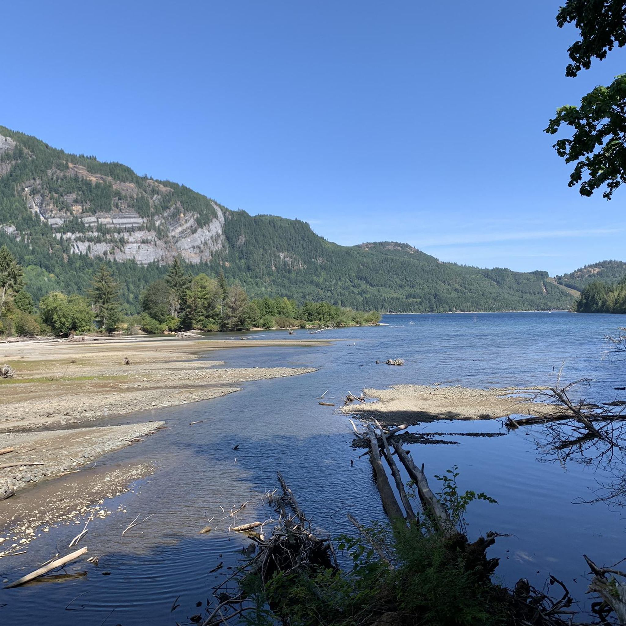
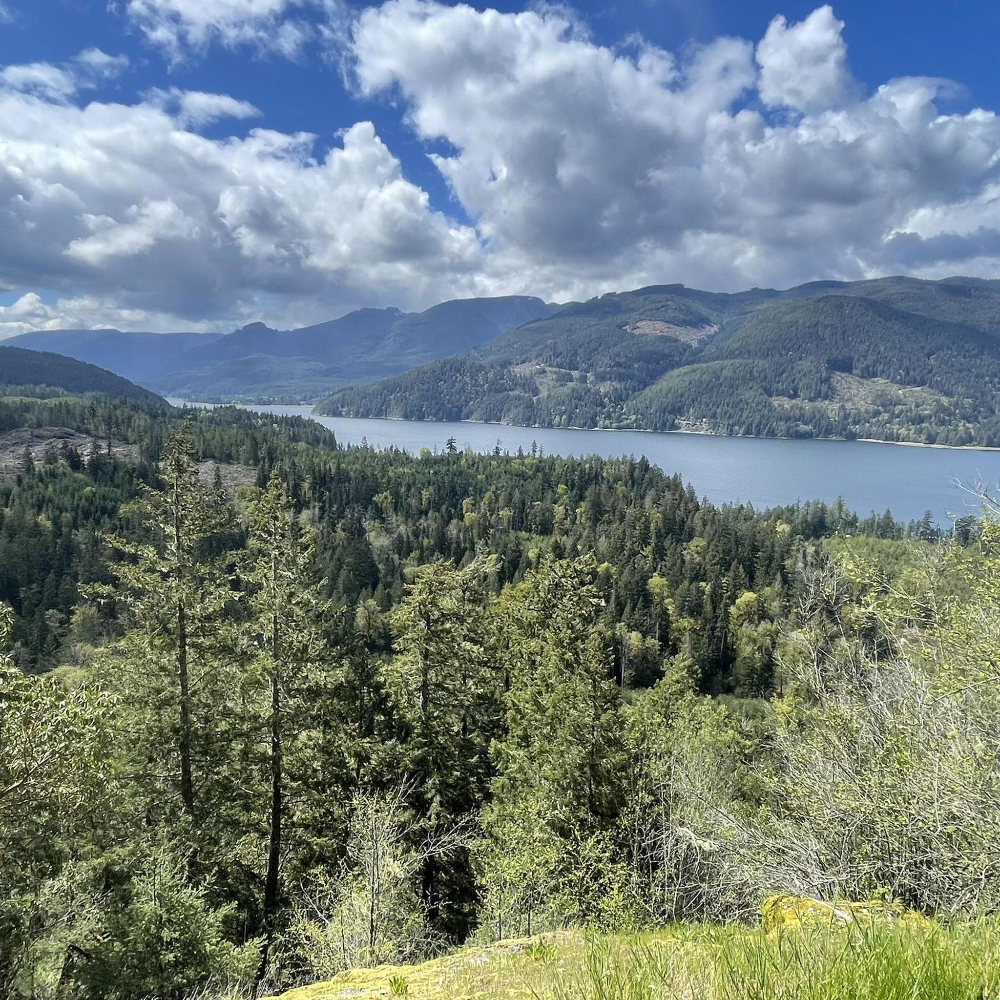
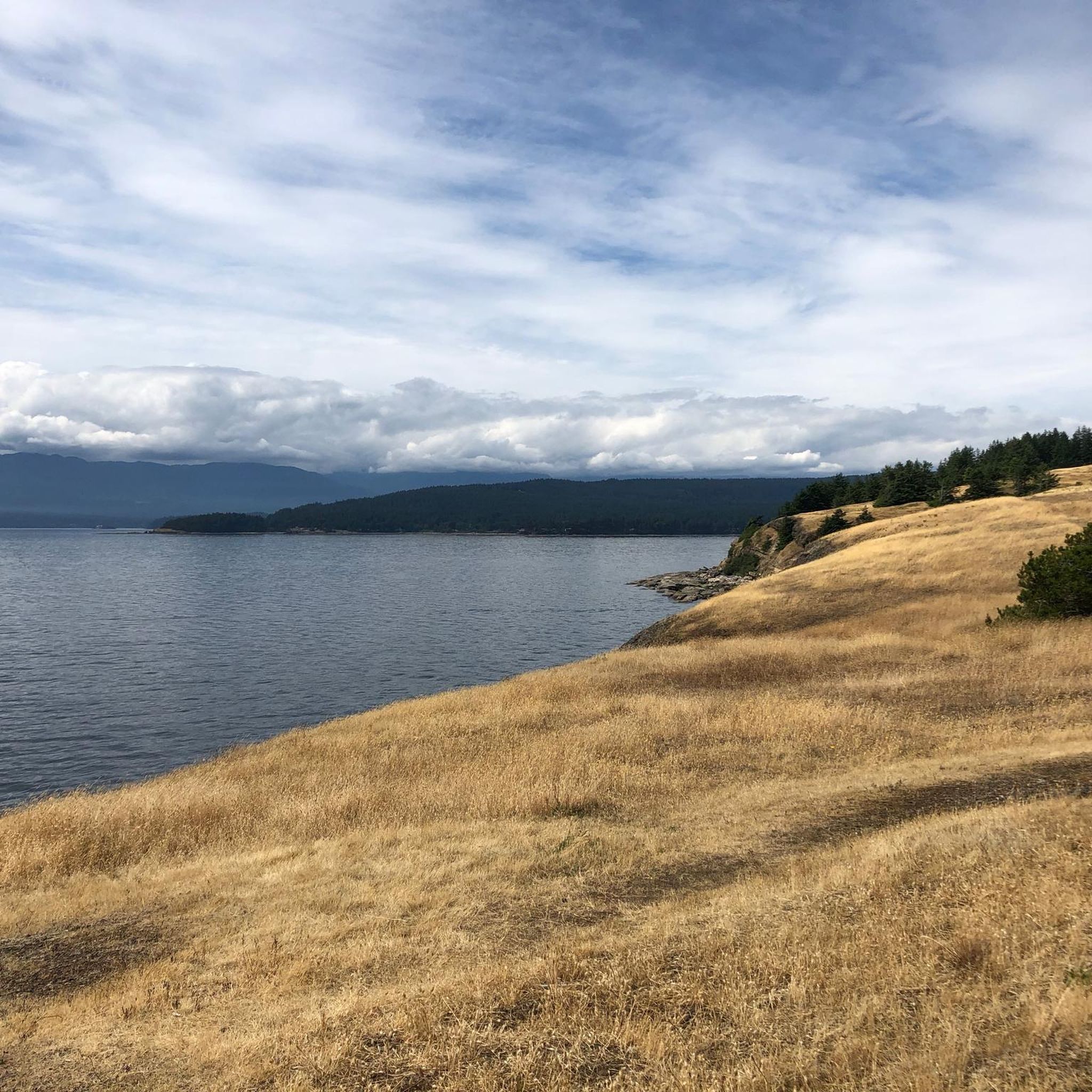
Tips from the Community

This park on the edge of Parksville has multiple sports fields, a concession stand, and is a hub for local trails, including the 7 kilometre Coombs to Parksville rail trail. There's also two off-leash dog areas with water for dogs.
0
0
This small town has a lot of unique charm that you can't find anywhere else. The main attraction is the Old Country Market, which is probably more commonly known as Goats on the Roof, because...there's goats on the roof of course. Inside you'll find unique gift and home decor items as well as a varied selection of groceries. The town also has "Butterfly World" which is an indoor tropical rainforest designed to be a sanctuary for a wide range of butterfly species.
0
0

This extension of the Hoylake Pathway is to the west and follows Hoylake Road closely. The roadside section of trail is out of the woods but then dips back into the woods and follows Grandon Creek out to the sea.
0
0

Qualicum Beach Heritage Forest is 50 acres of old-growth forest with some trees over 500 years in age. The well-marked, mulched trails make for an easy outing.
0
0

Nice simple place by the church with tables and toilet rooms with sinks.
0
0

A cute little museum, made with a lot of love. Next door is the former train station with a steam locomotive.
1
0

Stop for an adventurous round of mini-golf or just a delicious ice-cream.
0
0
Frequently Asked Questions
How many road cycling routes are available in Area H (Lighthouse Country)?
There are 6 road cycling routes documented in Area H (Lighthouse Country) on komoot, offering a mix of easy and moderate difficulty levels.
Are there easy road cycling routes suitable for beginners in Area H (Lighthouse Country)?
Yes, Area H (Lighthouse Country) features easy road cycling routes perfect for beginners. One such option is the Church Campground loop from Alberni Pacific Railway, E&N Train Station, an 18.0-mile (29.0 km) trail that takes about 1 hour 29 minutes to complete.
What are the typical distances and durations for road cycling routes in Area H (Lighthouse Country)?
Road cycling routes in Area H (Lighthouse Country) vary in length and duration. You can find routes ranging from approximately 18 miles (29 km) to 45 miles (72 km), with completion times typically between 1.5 to 3.5 hours, depending on the route and your pace.
Are there any loop road cycling routes in Area H (Lighthouse Country)?
Yes, many of the road cycling routes in Area H (Lighthouse Country) are loops, allowing you to start and end at the same point. Examples include the popular Ice Cream Stop – Rocky Coastal Viewpoint loop from Qualicum Beach and the Qualicum Beach Heritage Forest – Ice Cream Stop loop from Qualicum Beach.
What kind of scenery can I expect on road cycling routes in Area H (Lighthouse Country)?
Road cycling in Area H (Lighthouse Country) offers diverse scenery, including extensive coastal views, stretches through heritage forests, and glimpses of small communities. Routes often follow the Pacific coastline, providing ocean vistas and access to beaches.
What attractions or landmarks can I see along road cycling routes in Area H (Lighthouse Country)?
While cycling, you might pass by natural attractions such as Stamp Falls and Canyon or the unique Hole-in-the-Wall. The region is also home to significant natural features like Cathedral Trail, MacMillan Park, known for its ancient trees.
Are there any waterfalls accessible near the road cycling routes?
Yes, several waterfalls are located within Area H (Lighthouse Country) that could be visited in conjunction with your ride. Notable ones include Qualicum Falls and Nile Creek Falls, offering beautiful natural stops.
What is the best time of year for road cycling in Area H (Lighthouse Country)?
The mild coastal climate of Area H (Lighthouse Country) makes road cycling enjoyable for much of the year. Spring and fall offer pleasant temperatures and vibrant scenery, while summer provides warmer, drier conditions ideal for longer rides. Even winter can be suitable on clear days, though some routes might be affected by rain.
What do other road cyclists enjoy most about road cycling in Area H (Lighthouse Country)?
The komoot community highly rates the road cycling experience in Area H (Lighthouse Country), with an average score of 5.0 stars. Reviewers often praise the region's blend of coastal roads, heritage forests, and moderate elevation changes, providing engaging rides for various skill levels.
Are there any challenging road cycling routes in Area H (Lighthouse Country)?
While there are no routes classified as 'difficult,' several moderate routes offer a good challenge with significant elevation gains. For instance, the Ice Cream Stop – Rocky Coastal Viewpoint loop from Qualicum Beach includes over 2,200 feet (680 meters) of elevation gain over its 45-mile distance.
Can I find places to eat or get refreshments along the road cycling routes?
Yes, routes often connect small communities where you can find cafes and other amenities. The Old Country Market is a well-known stop in the region, and routes like the 'Ice Cream Stop' loops specifically highlight refreshment opportunities.
Most popular attractions around Area H (Lighthouse Country)

Get inspired with the komoot mobile app


Explore more
Browse the best Road cycling routes in other regions.
