The best MTB trails around Area E (Chilliwack River Valley)
5.0
(1)
59
riders
9
rides
Mountain biking around Area E (Chilliwack River Valley) offers diverse terrain for riders. The region is characterized by its river valleys, conservation areas, and a network of ponds and wetlands, providing a mix of flat and gently rolling paths. Elevations are generally low, with some routes featuring short, moderate climbs. The landscape includes open areas and sections near water bodies, suitable for various mountain biking experiences.
Best mountain bike trails around Area E (Chilliwack River Valley)
- The most popular mountain bike trail is Ruby's Knoll loop from Chilliwack River Conservation Area, a 15.4 miles (24.7 km) trail that takes 2 hours 28 minutes to complete. This difficult route features significant elevation gain, offering a challenging ride through varied terrain.
- Another top favourite among local mountain bikers is South Lagoon – McFadden Pond loop from Chilliwack River Conservation Area, an easy 15.2 miles (24.4 km) path. This route explores the area's lagoons and ponds, providing a scenic ride with minimal elevation changes.
- Local mountain bikers also love the McFadden Pond – Browne Creek Wetlands loop from Tempus Ridge, a 14.2 miles (22.8 km) trail leading through wetlands and near ponds, often completed in about 1 hour 46 minutes.
- Mountain biking around Area E (Chilliwack River Valley) is defined by river valleys, conservation areas, and wetland landscapes. The network offers options for different ability levels, from easy loops around water features to more challenging routes with greater elevation.
- The routes in Area E (Chilliwack River Valley) are highly rated by the komoot community with an average score of 5.0 stars from over 7 reviews. More than 90 mountain bikers have used komoot to explore Area E (Chilliwack River Valley)'s varied terrain.
Last updated: October 8, 2026
17
riders
24.7km
02:29
700m
700m
Hard mountain bike ride. Good fitness required. Advanced riding skills necessary. Some portions of the route may require you to push your bike.
5.0
(1)
8
riders
46.5km
03:39
90m
90m
Moderate mountain bike ride. Good fitness required. Suitable for all skill levels.

10
riders
Easy mountain bike ride. Great for any fitness level. Suitable for all skill levels.
8
riders
28.7km
03:30
1,470m
1,470m
Hard mountain bike ride. Very good fitness required. Advanced riding skills necessary. Some portions of the route may require you to push your bike.
4
riders
Hard mountain bike ride. Very good fitness required. Advanced riding skills necessary.
Get access to more routes and recommendations from other explorers.
Already have an account?
Our route recommendations are based on thousands of hikes, rides, and runs completed by other people on komoot.
Start today with a free account
Your next adventure awaits.
Popular around Area E (Chilliwack River Valley)
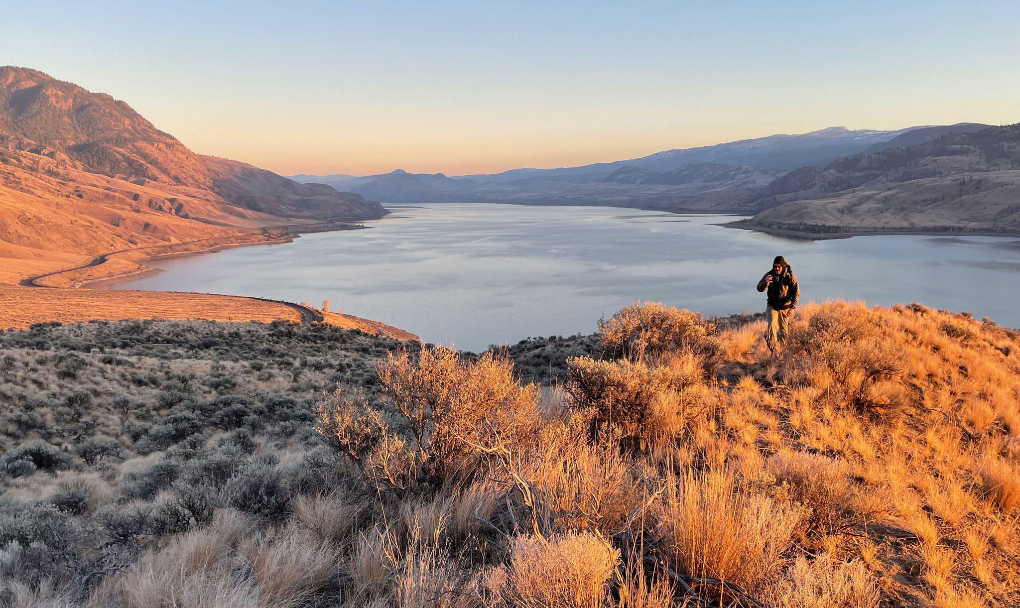
Forests, desert, wilderness - day tours in British Columbia
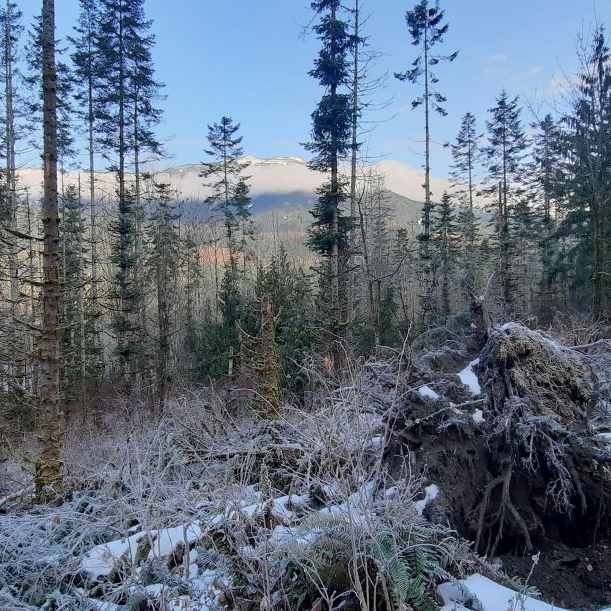
Hiking around Area E (Chilliwack River Valley)
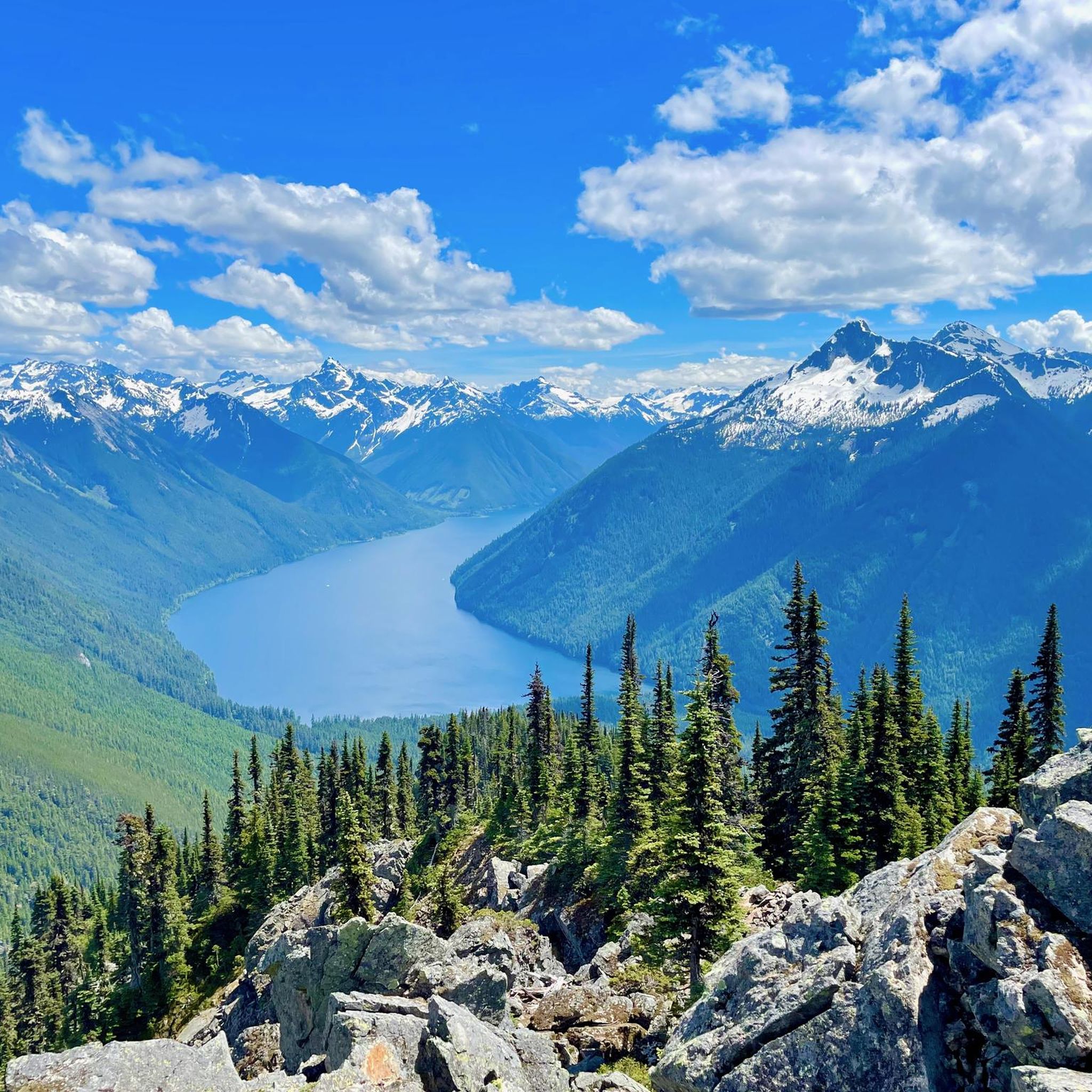
Running Trails around Area E (Chilliwack River Valley)
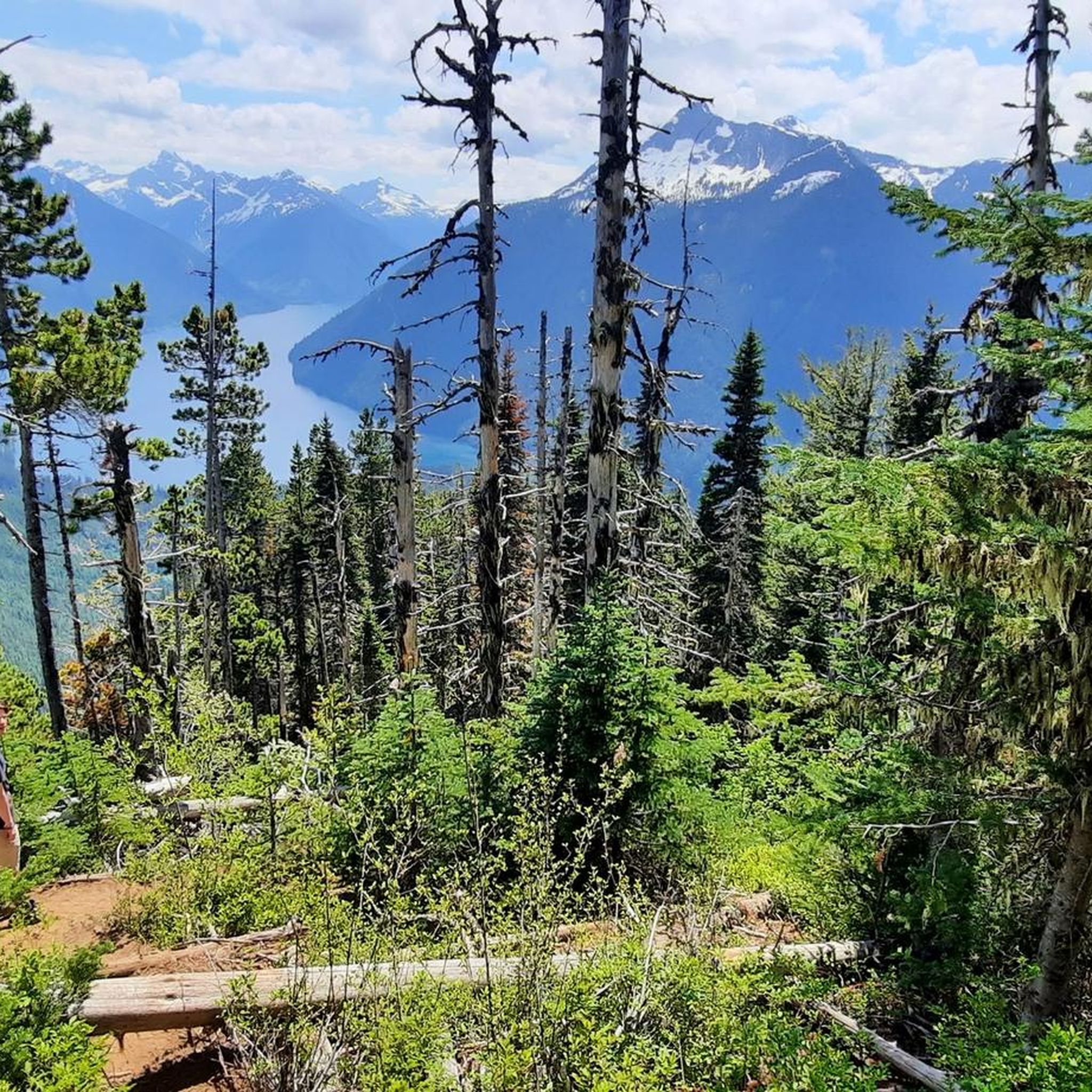
Cycling around Area E (Chilliwack River Valley)
Road Cycling Routes around Area E (Chilliwack River Valley)
Gravel biking around Area E (Chilliwack River Valley)
Other adventures around Area E (Chilliwack River Valley)

Tips from the Community

Browne Creek Wetlands is a small, protected marsh and riparian habitat along Browne Creek. The area is key in filtering water and is easy to explore via a network of flat gravel paths and wooden boardwalks. Visitors come here for birdwatching, strolling, running, or biking.
0
0
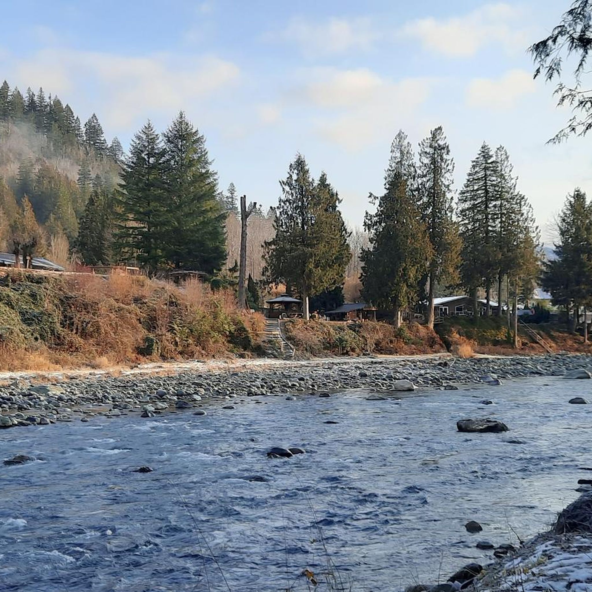
The Vedder River flows along the southern edge of Chilliwack, beginning at Cultus Lake and running northwest until it joins the Fraser River. The river is famous for salmon fishing during fall salmon runs. Besides fishing, visitors like to swim, tube, kayak, and raft.
0
0
Frequently Asked Questions
How many mountain bike trails are available in Area E (Chilliwack River Valley)?
There are over 10 mountain bike trails documented in Area E (Chilliwack River Valley) on komoot, offering a range of experiences from easy to difficult. The region's network of trails is well-regarded by the komoot community.
Are there mountain bike trails suitable for beginners in Area E (Chilliwack River Valley)?
Yes, Area E (Chilliwack River Valley) offers several easy mountain bike trails perfect for beginners. For instance, the South Lagoon – McFadden Pond loop from Chilliwack River Conservation Area is an easy 15.2-mile path exploring lagoons and ponds with minimal elevation changes. Another great option is the McFadden Pond – Browne Creek Wetlands loop from Tempus Ridge, which is 14.2 miles long and leads through wetlands.
What options are there for experienced mountain bikers seeking a challenge?
Experienced mountain bikers will find challenging routes in Area E (Chilliwack River Valley). The Ruby's Knoll loop from Chilliwack River Conservation Area is a difficult 15.4-mile trail featuring significant elevation gain and varied terrain, providing a demanding ride.
Can I find circular mountain bike routes in the Chilliwack River Valley?
Yes, many of the mountain bike trails in Area E (Chilliwack River Valley) are designed as loops, allowing you to start and finish at the same point. Examples include the South Lagoon – McFadden Pond loop and the McFadden Pond – Browne Creek Wetlands loop, both offering scenic circular rides.
Are there family-friendly mountain bike trails in Area E (Chilliwack River Valley)?
Absolutely. The region's easy and moderate trails, particularly those around the lagoons and wetlands, are suitable for families. Routes like the South Lagoon – McFadden Pond loop offer relatively flat terrain and scenic views, making them enjoyable for riders of varying ages and skill levels.
What kind of natural attractions can I see along the mountain bike trails?
The trails in Area E (Chilliwack River Valley) often pass by beautiful natural attractions. You might encounter stunning waterfalls like Bridal Veil Falls and Bosumarne Falls, or serene lakes such as Lindeman Lake. The area also features unique natural monuments like the Seven Sisters Trees.
Where can I park when visiting the mountain bike trails in Area E (Chilliwack River Valley)?
Many trails in Area E (Chilliwack River Valley) originate from areas with designated parking. For example, routes often start from the Chilliwack River Conservation Area. Additionally, the Spring Bay Parking and Picnic Area is a known spot that provides access to the local trail network.
What do other mountain bikers enjoy most about the trails in Area E (Chilliwack River Valley)?
The mountain bike trails in Area E (Chilliwack River Valley) are highly rated by the komoot community, with an average score of 5.0 stars from over 7 reviews. Riders frequently praise the diverse terrain, from scenic loops around wetlands and ponds to more challenging routes with significant elevation, and the overall natural beauty of the river valleys and conservation areas.
Are there opportunities for wildlife spotting while mountain biking?
Given the region's character with conservation areas, wetlands, and river valleys, there are good opportunities for wildlife spotting. Keep an eye out for various bird species, especially near the ponds and lagoons, and other local fauna that inhabit the natural landscapes of Area E (Chilliwack River Valley).
What is the typical length of mountain bike trails in Area E (Chilliwack River Valley)?
The mountain bike trails in Area E (Chilliwack River Valley) vary in length, catering to different preferences. You can find routes ranging from shorter loops around 9 miles (14 km) to longer expeditions exceeding 29 miles (46 km), such as the South Lagoon – Telescope loop from Sumas Prairie Dyke Crest Gauge.
Are there any specific trailheads I should be aware of?
Many popular mountain bike routes in Area E (Chilliwack River Valley) begin from key locations like the Chilliwack River Conservation Area or Tempus Ridge. These areas serve as convenient starting points for exploring the diverse trail network.
Most popular routes around Area E (Chilliwack River Valley)
Most popular attractions around Area E (Chilliwack River Valley)

Get inspired with the komoot mobile app


Explore more
Browse the best MTB trails in other regions.
