The best walks and hikes around Area J (Copper Desert Country)
4.5
(74)
491
hikers
33
hikes
Hiking around Area J (Copper Desert Country) offers diverse landscapes, from arid desert to riparian habitats and subalpine forests. The region is characterized by ancient basaltic rock formations, riverbeds featuring hoodoos, and volcanic gorges. Geological features include "tilted bed" formations of limestone and sedimentary layers, alongside the iconic saguaro cacti of the Sonoran Desert. Desert mountains and red rock formations further define the varied terrain available for hiking.
Best hiking trails around Area J (Copper Desert Country)
- The most popular…
Last updated: October 12, 2026
4.7
(15)
114
hikers
4.42km
01:29
210m
210m
Easy hike. Great for any fitness level. Easily-accessible paths. Suitable for all skill levels.
5.0
(1)
10
hikers
6.06km
03:04
710m
710m
Moderate hike. Good fitness required. Easily-accessible paths. Suitable for all skill levels.

4.15km
01:07
50m
50m
Easy hike. Great for any fitness level. Easily-accessible paths. Suitable for all skill levels.
2.19km
00:37
50m
40m
Easy hike. Great for any fitness level. Easily-accessible paths. Suitable for all skill levels.
4.5
(13)
50
hikers
10.5km
02:46
90m
90m
Moderate hike. Good fitness required. Easily-accessible paths. Suitable for all skill levels.
Get access to more routes and recommendations from other explorers.
Already have an account?
Our route recommendations are based on thousands of hikes, rides, and runs completed by other people on komoot.
Start today with a free account
Your next adventure awaits.
Popular around Area J (Copper Desert Country)
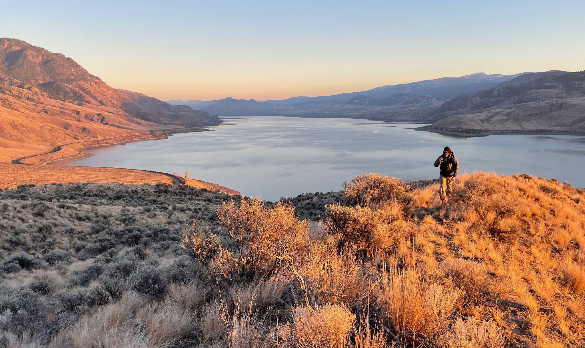
Forests, desert, wilderness - day tours in British Columbia
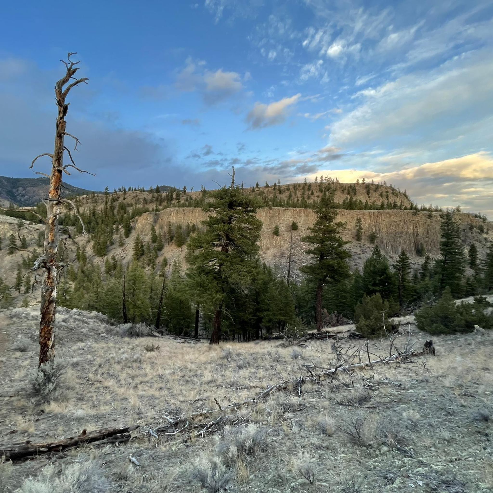
Running Trails around Area J (Copper Desert Country)
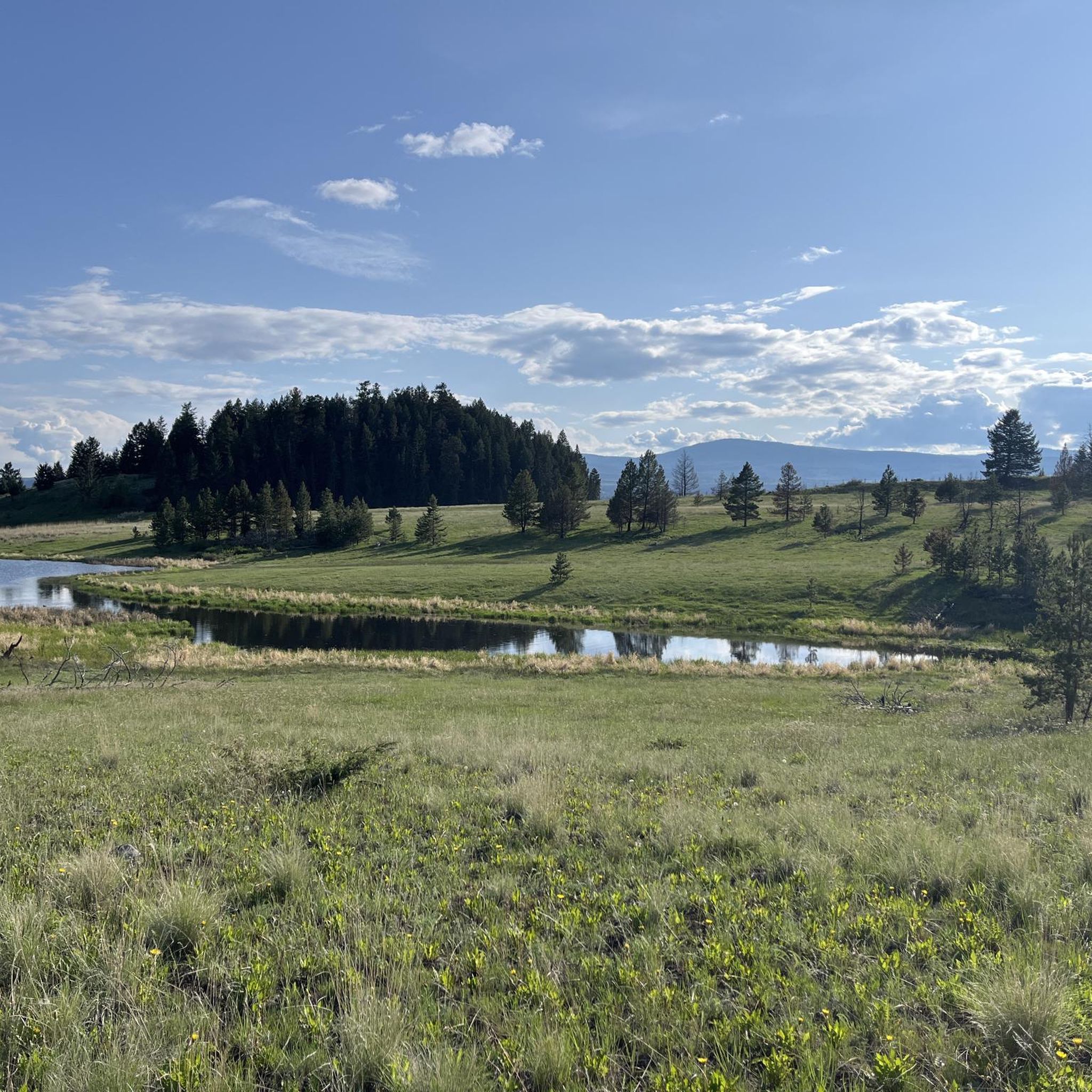
Cycling around Area J (Copper Desert Country)
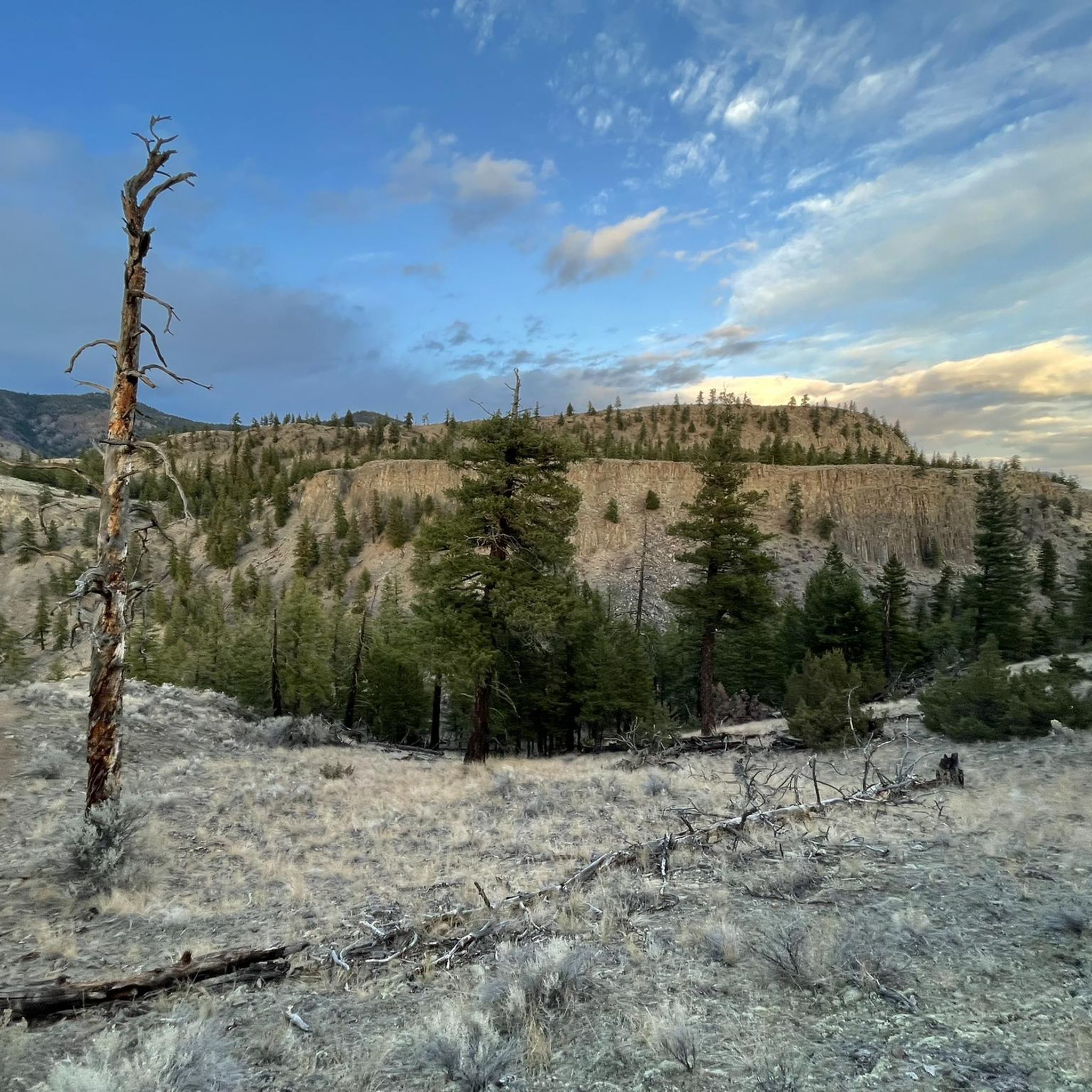
MTB Trails around Area J (Copper Desert Country)
Road Cycling Routes around Area J (Copper Desert Country)

Gravel biking around Area J (Copper Desert Country)
Other adventures around Area J (Copper Desert Country)

Tips from the Community

The Mara Hill Trail viewpoint sits at the farthest point of the trail and its end point. Be careful getting to the edge of this viewpoint as it is a cliff with no railings around it. The view is fantastic and different from the lower sections of trail as it brings you high above the lower canyon with a panoramic viewpoint of the wide, blue Thompson River valley and the eastern edge of Kamloops Lake stretching out to the west. In the distance, the Thompson Plateau is visible and peaks like Mara Mountain, Battle Bluff and Greenstone Mountain.
0
0

Duffy Lake Recreation Site is equipped with 52 campsites, a fishing dock, and many trails to explore. Feel free to bring your kayak or paddleboard as well, since the water is excellent for paddling. This area is popular with dirt bikers and ATVers, so expect plenty of motorized traffic.
0
0
Located less than an hour away from Kamloops, Duffy Lake still manages to feel remote. The beautiful lake is popular for fishing, kayaking, and paddleboarding. While camping, hiking and ATVing are popular shoreside activities.
0
0

Wonderful view over Lake Kamloops
0
0

Kamloops Lake stretches nearly 29 kilometres, formed by the Thompson River as it widens between the city of Kamloops and Savona with semi-arid surroundings of open grasslands, rugged bluffs, and rolling hills that rise steeply above the shoreline. Known for calm water and sweeping valley views, the lake is a popular spot for boating, paddling, fishing, and lakeside hiking.
0
0
Lac du Bois Grasslands Protected Area is a roughly 15,700-hectare protected region north-west of Kamloops, preserving a rare mix of dry bunchgrass plains, sparse pine and fir woodlands, wetlands, and rocky cliffs. It supports a wide variety of wildlife, from mule deer, moose, and California bighorn sheep, to many bird species, including waterfowl, sharp-tailed grouse, and owls, making it a biologically rich and important conservation area. It includes a network of hiking trails, open-air vistas, small lakes and ponds, and beautiful views of the surrounding valley and lake, making it a popular destination for hiking, wildlife viewing, and experiencing the distinctive grassland landscape.
0
0
This trail is a relatively easy path along the shore of Kamloops Lake that follows a mix of gravel shoreline, sandy beach, and low bluffs, with beautiful views of the lake, perfect for bird watching or simply enjoying the quiet waterside setting. The route is mainly flat and uncrowded, making it suitable for most hikers. However, the trail can be muddy or icy depending on the season, so be sure to plan accordingly and wear proper footwear as you explore this beautiful, quiet area. **The route crosses an active Canadian National rail line, so please exercise caution and only cross at designated points while staying alert for trains.
0
0

Once you've made the rather steep climb to Battle Bluff, a breathtaking view of Kamloops Lake, the surrounding mountains, and Kamloops to your left awaits you alongside an imposing cairn. The light conditions are especially beautiful at sunset, but remember to descend before it gets really dark. Also, since cougars are native to this area. The name of the lookout rock probably goes back to First Nations battles. Below the lookout and about 15 meters above the water's edge of Kamloops Lake, red markers made of paint indicate the blood that is said to have been spilled here. The markers are only accessible by boat.
6
0
Frequently Asked Questions
How many hiking trails are available in Area J (Copper Desert Country)?
Area J (Copper Desert Country) offers a diverse network of over 25 hiking routes. These include 20 easy trails perfect for a relaxed stroll and 6 moderate paths for those seeking a bit more challenge.
What are the typical landscapes and natural features I can expect to see while hiking in Area J (Copper Desert Country)?
Hikers in Area J (Copper Desert Country) will encounter a remarkable array of geological formations and ecosystems. The region features ancient basaltic rock formations, riverbeds with unique hoodoos, and volcanic gorges. You can also see impressive "tilted bed" formations of limestone and sedimentary layers. The area encompasses the picturesque Sonoran Desert with towering saguaro cacti, vibrant wildflowers, and expansive horizons, alongside unique riparian habitats and even subalpine fir forests in higher elevations.
Are there any family-friendly hiking options in Area J (Copper Desert Country)?
Yes, Area J (Copper Desert Country) has many family-friendly options, with 20 easy routes available. A great choice for families is the Cooney Bay Beach Trail, which is an easy hike offering pleasant scenery suitable for all ages.
What kind of unique geological features can I explore on the trails?
The region is rich in unique geology. You can explore ancient basaltic rock formations, including uniform columns reminiscent of Devil's Postpile, and riverbeds featuring hoodoos and volcanic gorges. The Gila River has carved impressive "tilted bed" formations of limestone and sedimentary layers. For a specific experience, consider the Hoodoos and rock formations – View of valley and Mara Hill loop from Kissick, which highlights these distinct features.
What do other hikers enjoy most about the trails in Area J (Copper Desert Country)?
The trails in Area J (Copper Desert Country) are highly rated by the komoot community, with an average score of 4.1 stars from over 60 reviews. Hikers often praise the diverse landscapes, from desert to riparian habitats, and the unique geological formations. Many also appreciate the variety of options for different ability levels.
Are there any circular hiking routes in Area J (Copper Desert Country)?
Yes, there are several circular routes available. A popular option is the View of Lac Le Jeune loop from Lac Le Jeune Provincial Park, which takes you through varied terrain around the lake. Another great loop is the McConnell Lake loop from McConnell Lake Provincial Park.
What are some notable viewpoints or attractions along the hiking trails?
Many trails offer stunning views and access to interesting attractions. For breathtaking vistas, the Battle Bluff Cairn and View of Kamloops Lake is a must-see. You can also find unique natural monuments like the View of basalt columns. The region also features the Riverside Park Beach for a relaxing stop.
What is the best time of year to go hiking in Area J (Copper Desert Country)?
The Copper Desert Country offers hiking opportunities year-round, but the best time often depends on the specific elevation and desired experience. Spring brings vibrant wildflowers to the Sonoran Desert, while fall offers pleasant temperatures. Summer can be very hot in lower desert areas, making higher elevation trails or early morning hikes more suitable. Winter hiking is possible, especially in the desert, but always check local conditions.
Are there any challenging hikes for experienced hikers?
While the guide primarily features easy and moderate routes, the broader Copper Desert Country region, particularly areas like Copper Mountain in the Mojave Desert, offers opportunities for challenging summit hikes. The Copper Corridor also features sections of the 800-mile Arizona Trail and the 11.65-mile Legends of Superior Trail (LOST), which can provide more strenuous experiences through varied terrain.
Can I bring my dog on the hiking trails in Area J (Copper Desert Country)?
Many trails in Area J (Copper Desert Country) are dog-friendly, but it's always best to check specific trail regulations before you go. Generally, dogs are welcome on leash in many natural areas. Remember to bring plenty of water for both yourself and your dog, especially in the desert environment, and to clean up after your pet.
What should I wear when hiking in Area J (Copper Desert Country), especially in summer?
Given the desert and varied terrain, layered clothing is recommended. In summer, lightweight, breathable, and light-colored clothing is essential to protect against the sun and heat. A wide-brimmed hat, sunglasses, and plenty of sunscreen are crucial. Sturdy hiking shoes with good ankle support are advisable for rocky or uneven paths. Always carry ample water, as desert conditions can lead to rapid dehydration.
Are there any trails that offer opportunities for wildlife spotting?
The diverse ecosystems of Area J (Copper Desert Country), from the Sonoran Desert to riparian habitats and subalpine forests, provide excellent opportunities for wildlife spotting. Keep an eye out for desert wildlife like various bird species, reptiles, and mammals. Early mornings or late afternoons are often the best times to spot animals when they are most active.
Where can I find information about parking or public transport for trailheads?
Information regarding parking availability at trailheads can often be found on specific route pages or local park websites. Public transport options to more remote trailheads in Area J (Copper Desert Country) may be limited, so planning for personal vehicle use is often recommended. Always check local resources for the most current details on access and parking.
Most popular routes around Area J (Copper Desert Country)
Most popular attractions around Area J (Copper Desert Country)

Get inspired with the komoot mobile app


Explore more
Browse the best Hikes in other regions.
