The best walks and hikes around Area C (Arrowsmith-Benson)
4.5
(468)
3,345
hikers
26
hikes
Hiking around Area C (Arrowsmith-Benson) offers diverse landscapes within the Regional District of Nanaimo, British Columbia. The region is characterized by prominent mountains like Mount Benson and Mount Arrowsmith, providing varied terrain from challenging ascents to more accessible paths. Dense coastal forests, significant freshwater sources such as the Nanaimo and Englishman Rivers, and unique geological features like Ammonite Falls and the Hole-in-the-Wall contribute to its natural environment. This area provides a range of outdoor experiences for hikers.
Best hiking trails around Area C (Arrowsmith-Benson)
- The most popular hiking route is Haslam Trail and Timberland Lake Loop, a 4.7 miles (7.5 km) trail that takes 2 hours 11 minutes to complete. This moderate route features a suspension bridge and diverse forest scenery.
- Another top favourite among local hikers is Thistle Mine via West Bush Main Trail — Ladysmith, an easy 3.3 miles (5.3 km) path. This trail offers a gentle ascent through woodland, suitable for a shorter outing.
- Local hikers also love the Jewel Lake via Saddle Trail — Mount Arrowsmith Regional Park, a 3.3 miles (5.4 km) trail leading through mountainous terrain with significant elevation gain, often completed in about 3 hours 8 minutes.
- Hiking around Area C (Arrowsmith-Benson) is defined by mountain peaks, dense coastal forests, and river valleys. The network offers options for different ability levels, from easy lakeside loops to strenuous mountain ascents.
- The routes in Area C (Arrowsmith-Benson) are highly rated by the komoot community with an average score of 4.6 stars from over 250 reviews. More than 2000 hikers have used komoot to explore Area C (Arrowsmith-Benson)'s varied terrain.
Last updated: October 19, 2026
3.5
(2)
6
hikers
7.53km
02:11
180m
180m
Hike the 4.7-mile Haslam Trail and Timberland Lake Loop, a moderate route featuring a suspension bridge and a scenic lake near Nanaimo, BC.
5
hikers
5.38km
03:07
570m
570m
Moderate hike. Good fitness required. Mostly accessible paths. Sure-footedness required.

7
hikers
4.81km
01:24
100m
100m
Moderate hike. Great for any fitness level. Mostly accessible paths. Sure-footedness required.
3
hikers
7.35km
02:04
150m
150m
Hike the moderate 4.6-mile White Pine and Haslam Trail in Nanaimo, featuring the Haslam Creek Suspension Bridge and Timberland Lake.
3
hikers
5.30km
01:34
140m
140m
Easy hike. Great for any fitness level. Easily-accessible paths. Suitable for all skill levels.
Get access to more routes and recommendations from other explorers.
Already have an account?
Our route recommendations are based on thousands of hikes, rides, and runs completed by other people on komoot.
Start today with a free account
Your next adventure awaits.
Tips from the Community

The Extension Ridge Trailhead on Virostko Road is an access point to the entire trail network from the community of Extension. This entry point is highly favoured by hikers looking to enjoy the area while skipping the steeper gravel inclines found at the northern Harewood Mines Road entrance. Parking is right on the roadside instead of an official lot, so be sure to pull off the road far enough to let other cars pass.
0
0
The Extension Ridge Trail is a moderate to challenging trail following a sandstone ridge defined by mossy floors, forests of Douglas firs, and bright orange arbutus trees. Walking or riding along the ridge gives way to views of the Salish Sea, the Coast Mountains, and Mount Benson. The higher you climb, the better the views. The trail's most famous highlight is “The Abyss,” a dramatic 50-centimetre-wide fissure in the earth that draws curious hikers right to its edge, and further up the trail is a rock labyrinth and the mystical Fairy Circle.
0
0
Creeper is a technical black-diamond singletrack trail that runs along the base of a cliff in the lower section of the ridge. Bikers might find themselves at “creeping” speeds required to safely navigate its dense network of obstacles. The trail weaves directly through natural rock tunnels, around tight crevices, and past massive boulders. This trail is not only used by mountain bikers, but also hikers and rock climbers.
0
0

The White Pine Trail is a section of the Trans Canada Trail, running from Spruston Road to the Haslam Trail. This part of the trail is rocky and rooty singletrack.
0
0
The West Bush Main Trail is part of the Trans Canada Trail and runs from Hayes Lake to the Hatchery. This section mostly follows an old logging road.
0
0

A sturdy steel suspension bridge enclosed with chain-link fencing, stretching high above Haslam Creek. Its grated walkway offers clear views down to the forested canyon below, making it one of the most memorable spots along the trail. The bridge is narrow, so hikers cross single-file, surrounded by tall trees and the sound of rushing water beneath.
0
0
A scenic forest route leading toward Timberland Lake, the Haslam Trail crosses a suspension bridge over Haslam Creek before climbing steadily through second-growth woodland and sections of old logging road. The trail is moderate, covering roughly 8 kilometres with about 220 metres of elevation gain. Expect some muddy stretches and steady inclines — sturdy footwear is recommended.
0
0
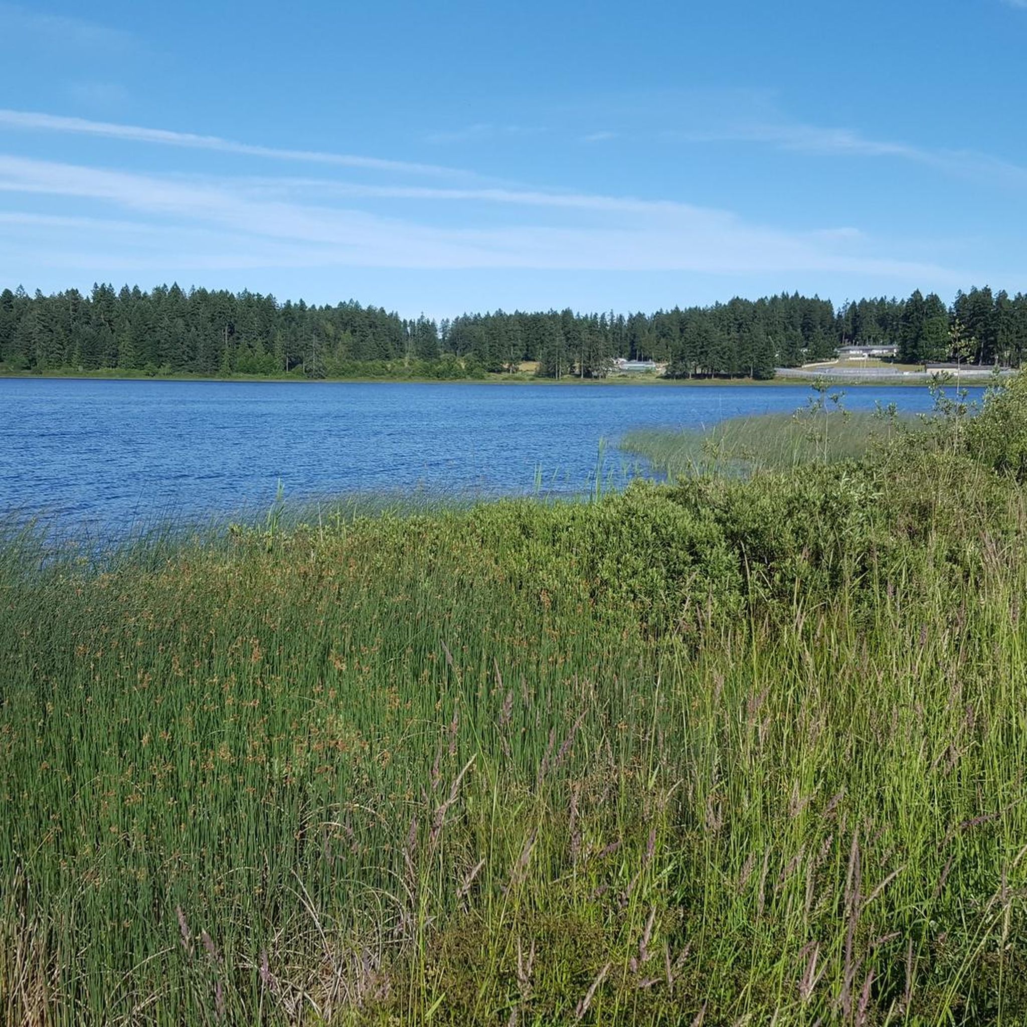
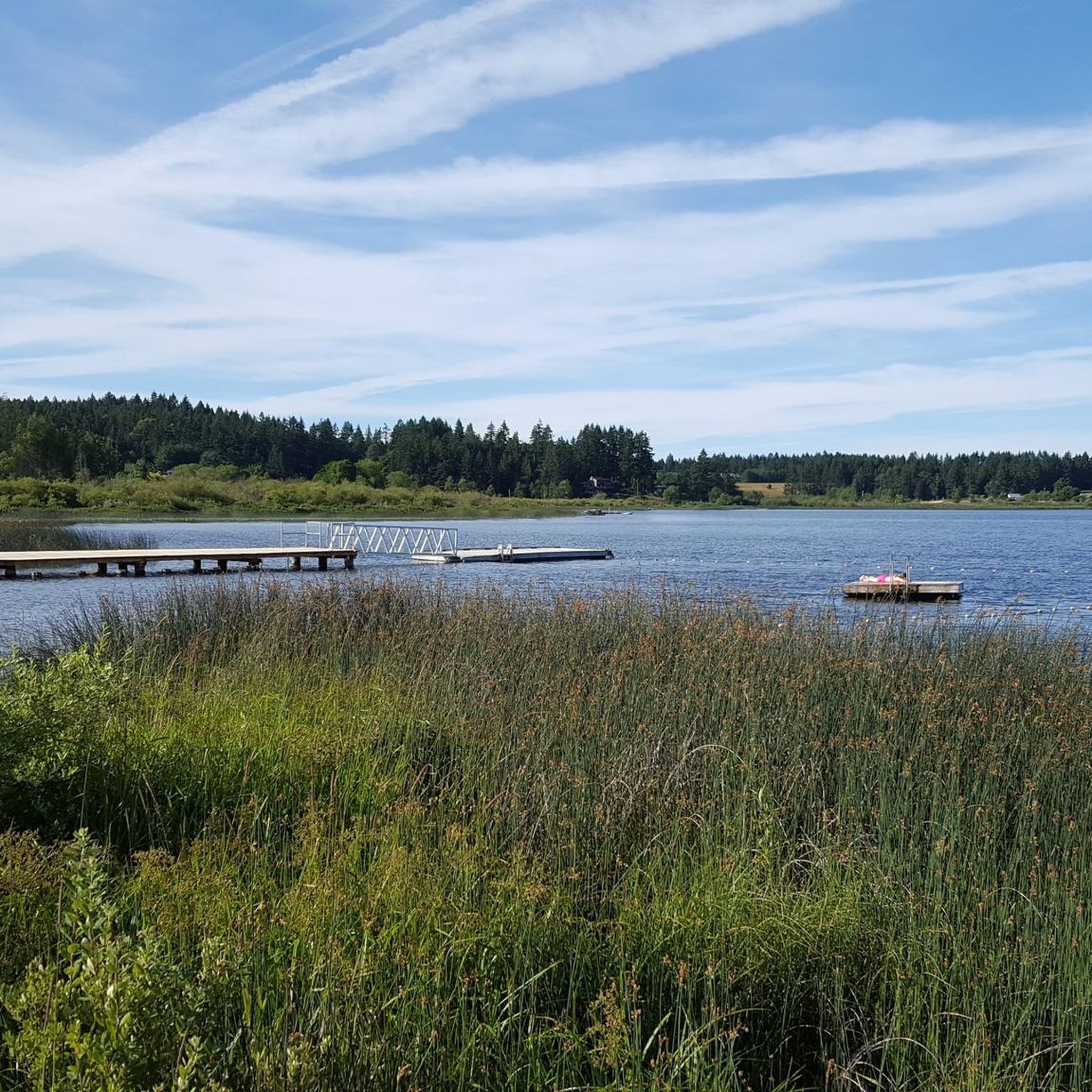
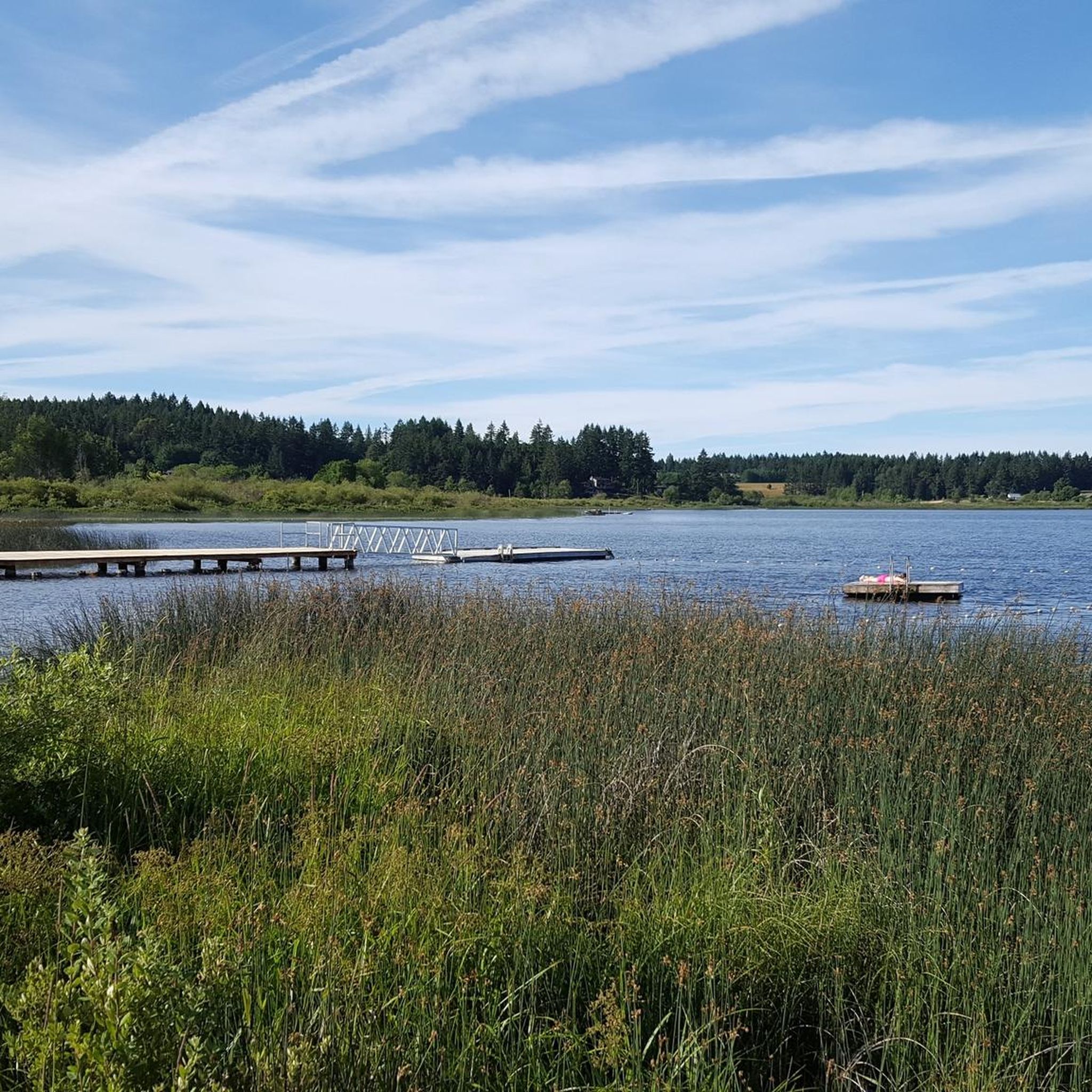
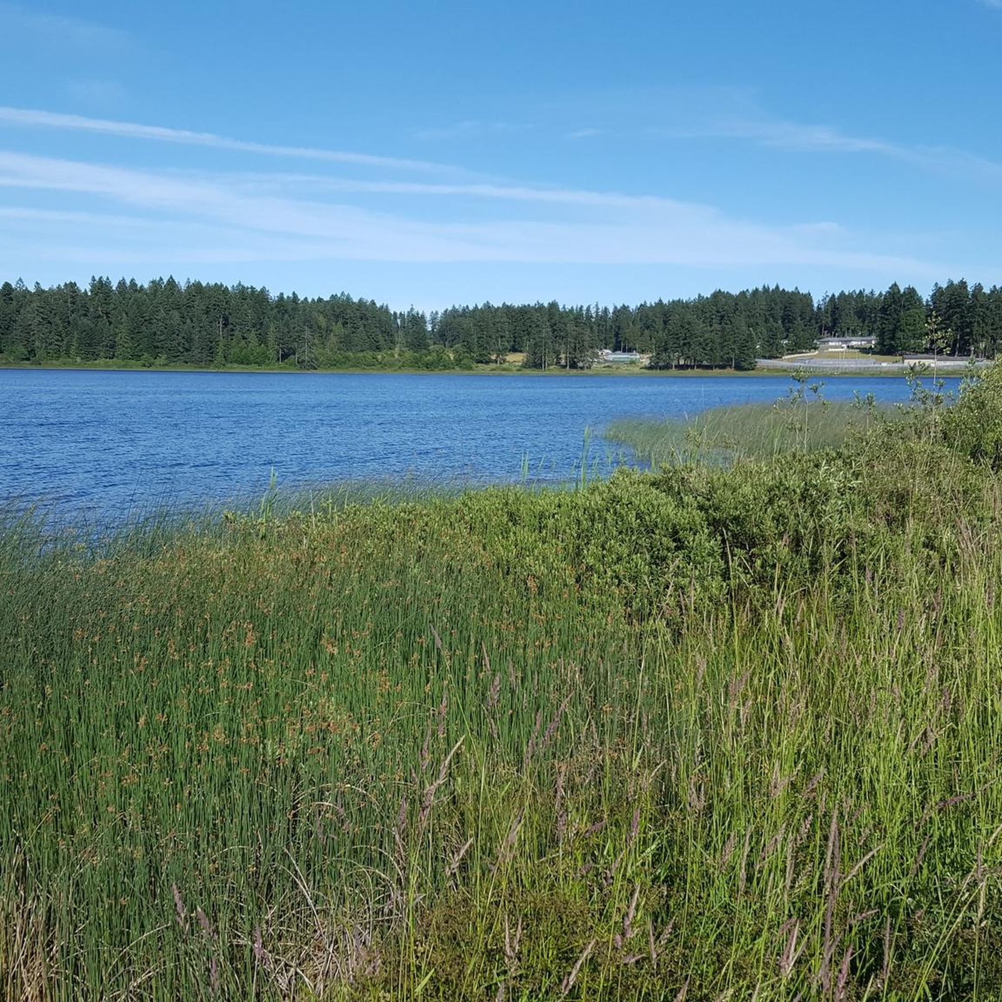
A peaceful forest lake surrounded by evergreens and gentle hills near Ladysmith. The calm water and open shoreline make it a popular stop for a quiet rest, swim, or photo break. Keep an eye out for dragonflies and small birds skimming the surface — it’s a tranquil spot to pause and take in Vancouver Island’s inland beauty.
0
0
Frequently Asked Questions
How many hiking trails are there in Area C (Arrowsmith-Benson)?
Area C (Arrowsmith-Benson) offers a wide selection of hiking opportunities, with over 20 trails available. These range from easy strolls to more challenging mountain ascents, catering to various skill levels.
What is the best time of year to go hiking in Area C (Arrowsmith-Benson)?
The best time to hike in Area C (Arrowsmith-Benson) is generally from spring through fall, when the weather is milder and trails are clear of snow. Summer offers warm conditions, while spring and fall provide lush scenery and comfortable temperatures. For higher elevation trails like those on Mount Arrowsmith, late spring to early fall is ideal to avoid snow and ice.
Are there any easy hiking trails suitable for families or beginners in Area C (Arrowsmith-Benson)?
Yes, Area C (Arrowsmith-Benson) has several easy trails perfect for families and beginners. One popular option is Thistle Mine via West Bush Main Trail — Ladysmith, which offers a gentle ascent through woodland. The Haslam Trail and Timberland Lake Loop is another moderate option featuring a suspension bridge and diverse forest scenery, suitable for those looking for a slightly longer but still accessible walk.
Are there challenging hikes for experienced hikers in Area C (Arrowsmith-Benson)?
Absolutely. For experienced hikers seeking a challenge, trails leading up Mount Arrowsmith, such as the Judges Route, offer significant elevation gain and rugged terrain. The Jewel Lake via Saddle Trail — Mount Arrowsmith Regional Park is a moderate route that provides a taste of the mountainous environment with considerable ascent.
Are there any waterfalls to see while hiking in Area C (Arrowsmith-Benson)?
Yes, the region is home to several beautiful waterfalls. You can visit the well-known Ammonite Falls or the unique Hole-in-the-Wall, which forms a 'keyhole' effect, especially striking after rainfall. Other notable waterfalls include Crystal Falls and Copley Waterfall.
What other natural landmarks or attractions can I explore in Area C (Arrowsmith-Benson)?
Beyond the trails, Area C (Arrowsmith-Benson) boasts impressive natural landmarks. Don't miss The Big Tree (Douglas-fir) in MacMillan Provincial Park, an ancient and remarkable tree. The Cathedral Trail, MacMillan Park also offers a chance to walk among towering old-growth trees.
What do other hikers enjoy most about hiking in Area C (Arrowsmith-Benson)?
The hiking trails in Area C (Arrowsmith-Benson) are highly rated by the komoot community, with an average score of 4.6 stars from over 280 reviews. Hikers often praise the diverse landscapes, from prominent mountain views to dense coastal forests and unique geological features like the Hole-in-the-Wall.
Are there dog-friendly hiking trails in Area C (Arrowsmith-Benson)?
Many trails in Area C (Arrowsmith-Benson) are dog-friendly, but it's always best to check specific park regulations or trail signage before heading out. Generally, dogs are welcome on leash in most regional parks and on many forest trails, allowing you to enjoy the natural beauty with your canine companion.
Are there circular hiking routes available in Area C (Arrowsmith-Benson)?
Yes, there are several circular hiking routes in Area C (Arrowsmith-Benson) that allow you to start and end at the same point. The Haslam Trail and Timberland Lake Loop is a popular moderate option. Another is the Green Mountain Trail Loop, which offers a more challenging circular experience.
Is public transport available to reach trailheads in Area C (Arrowsmith-Benson)?
Public transport options to specific trailheads in Area C (Arrowsmith-Benson) can be limited due to the rural nature of some areas. It is generally recommended to have personal transportation for easier access to the diverse range of hiking opportunities. Some trailheads closer to Nanaimo might have limited bus service, but checking local transit schedules is advised.
Are there specific parking areas for trailheads in Area C (Arrowsmith-Benson)?
Most popular trailheads in Area C (Arrowsmith-Benson), especially those within regional parks like Mount Benson Regional Park or Mount Arrowsmith Regional Park, offer designated parking areas. These can vary in size, so it's advisable to arrive early during peak seasons or weekends to secure a spot.
Most popular routes around Area C (Arrowsmith-Benson)
Most popular attractions around Area C (Arrowsmith-Benson)

Get inspired with the komoot mobile app


Explore more
Browse the best Hikes in other regions.
