The best walks and hikes around Fraser Valley D
4.7
(83)
1,125
hikers
23
hikes
Hiking around Fraser Valley D offers diverse landscapes, from towering peaks to lush forests and significant waterways. The region is characterized by its position between the Coast and Cascade mountain ranges, with the Fraser River flowing through its heart. This geographical diversity provides a variety of terrain, including challenging alpine treks and more leisurely forest paths. The area features numerous lakes, rivers, and old-growth forests, creating varied environments for outdoor exploration.
Best hiking trails in Fraser Valley D
- The most popular hiking route is Ultimate Lookout via Campbell Lake Trail — Harrison Hot Springs, a difficult 7.3 miles (11.7 km) trail that takes 5 hours 25 minutes to complete, offering significant elevation gain.
- Another top favourite among local hikers is Mount Woodside Forest Service Road, a moderate 5.8 miles (9.4 km) path. This route features a steady climb through forested areas.
- Local hikers also love the Hicks Lake loop from Sasquatch Provincial Park, an easy 3.8 miles (6.1 km) trail leading through forests around the lake, often completed in about 1 hour 37 minutes.
- Hiking around Fraser Valley D is defined by mountain ranges, fertile valleys, and significant rivers, with trails winding through lush forests and past scenic lakes. The network offers options for different ability levels, from easy loops to challenging ascents.
- The routes in Fraser Valley D are highly rated by the komoot community with an average score of 4.6 stars from over 70 reviews. More than 850 hikers have used komoot to explore Fraser Valley D's varied terrain.
Last updated: August 24, 2026
4.2
(5)
29
hikers
11.7km
05:26
800m
800m
Hard hike. Very good fitness required. Mostly accessible paths. Sure-footedness required.
13
hikers
18.4km
06:22
990m
990m
Hard hike. Very good fitness required. Sure-footedness, sturdy shoes and alpine experience required.

Sign up for free
9
hikers
4.59km
01:11
20m
20m
Easy hike. Great for any fitness level. Easily-accessible paths. Suitable for all skill levels.
5
hikers
15.4km
05:21
840m
840m
Hard hike. Very good fitness required. Easily-accessible paths. Suitable for all skill levels.
1
hikers
4.25km
01:04
10m
10m
Easy hike. Great for any fitness level. Easily-accessible paths. Suitable for all skill levels.
Get access to more routes and recommendations from other explorers.
Sign up for free
Already have an account?
Our route recommendations are based on thousands of hikes, rides, and runs completed by other people on komoot.
Start today with a free account
Your next adventure awaits.
Login or Signup
Popular around Fraser Valley D
Tips from the Community

From here, Bridal Creek winds through the wetlands on its way towards Cheam Lake. The water starts higher up on Mount Archibald and feeds Bridal Veil Falls before continuing downstream as Bridal Creek into the park. It’s a nice connection to the much bigger waterfall nearby, especially when you see how small and quiet the creek becomes once it reaches the wetlands.
0
0
Cheam Lake Wetlands Regional Park protects a mix of lake, marsh and forest habitat just east of Chilliwack. The trails are flat and easy to follow, with boardwalks bringing you close to the wetlands without disturbing the habitat. It’s especially good for birdwatching, with 184 species recorded in the park. Bikes and dogs aren’t permitted, and visitors are asked to stay on the trails because the wetland habitat is sensitive.
0
0
From here, you get one of the best views across Cheam Lake, with the mountains of the eastern Fraser Valley rising behind the wetlands. The viewing platform and boardwalk are good spots to stop and scan the water for ducks, geese and other waterfowl. Early morning is especially good for bird activity, and the still water can make the mountain reflections particularly clear.
0
0

Bridge Road follows a quiet stretch of the Fraser River, passing through open farmland with beautiful views of the surrounding mountains and valley. Parts of the route are open and exposed, with gravel sections, riverside clearings, and changing views of the water and peaks in the distance. Though the trail is relatively straightforward, the scenery is what makes this route worthwhile, so take your time and enjoy the views as you go.
0
0
The Fraser River is the longest in British Columbia, flowing more than 1,300 kilometres from the Rocky Mountains to the Strait of Georgia near Vancouver. Along this section, the river cuts through a wide valley backed by forested hills and mountain views, creating a picturesque natural setting along the trail. The Fraser is also home to salmon, sturgeon, and plenty of birdlife, so keep an eye out as you walk along its banks.
0
0

Stacey Lake sits just below the summit of Mount Woodside. The trail drops into a sheltered basin where the forest opens to calm, reflective water surrounded by mossy shoreline and tall evergreens. The lake is accessible by a forested road that you can ride or hike.
0
0
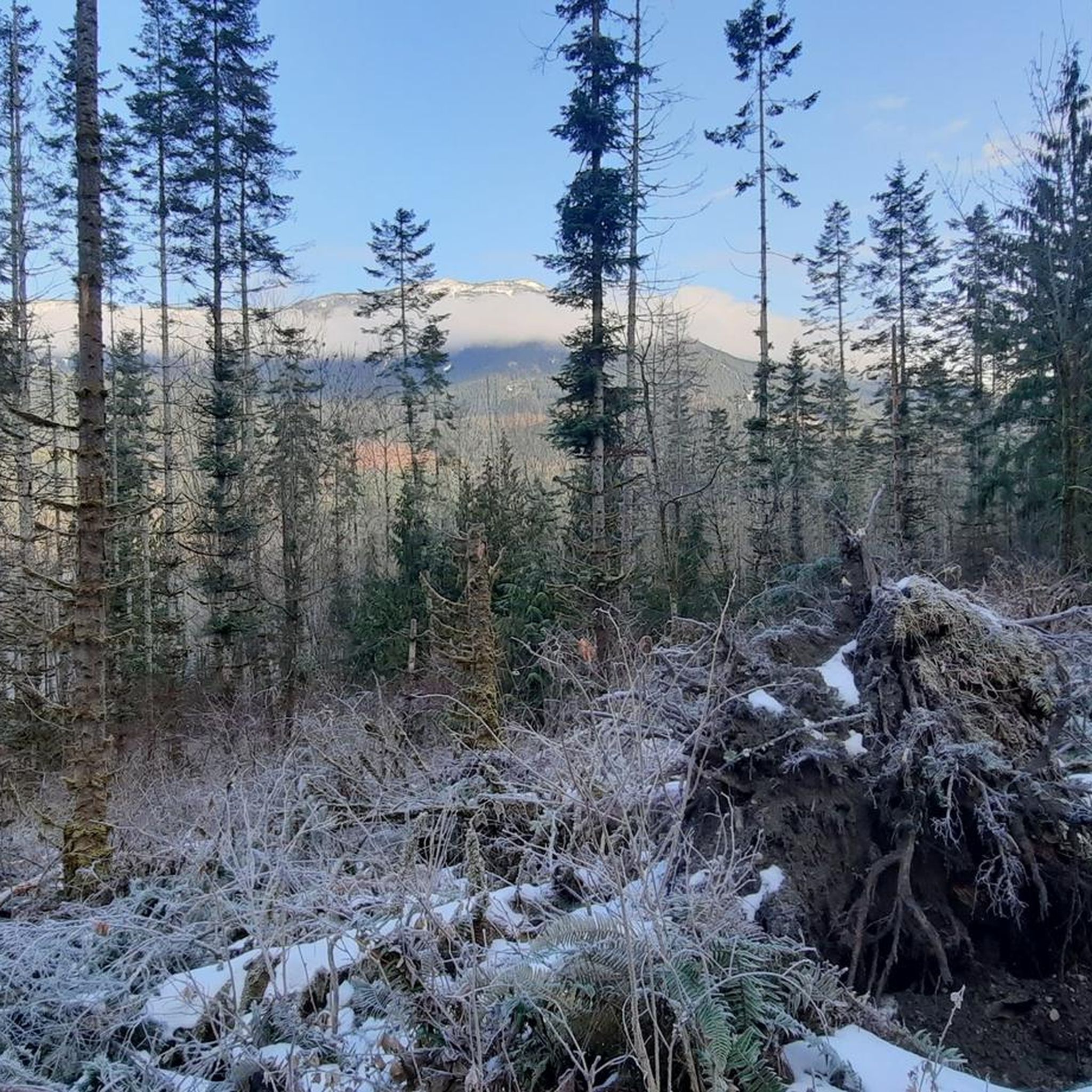
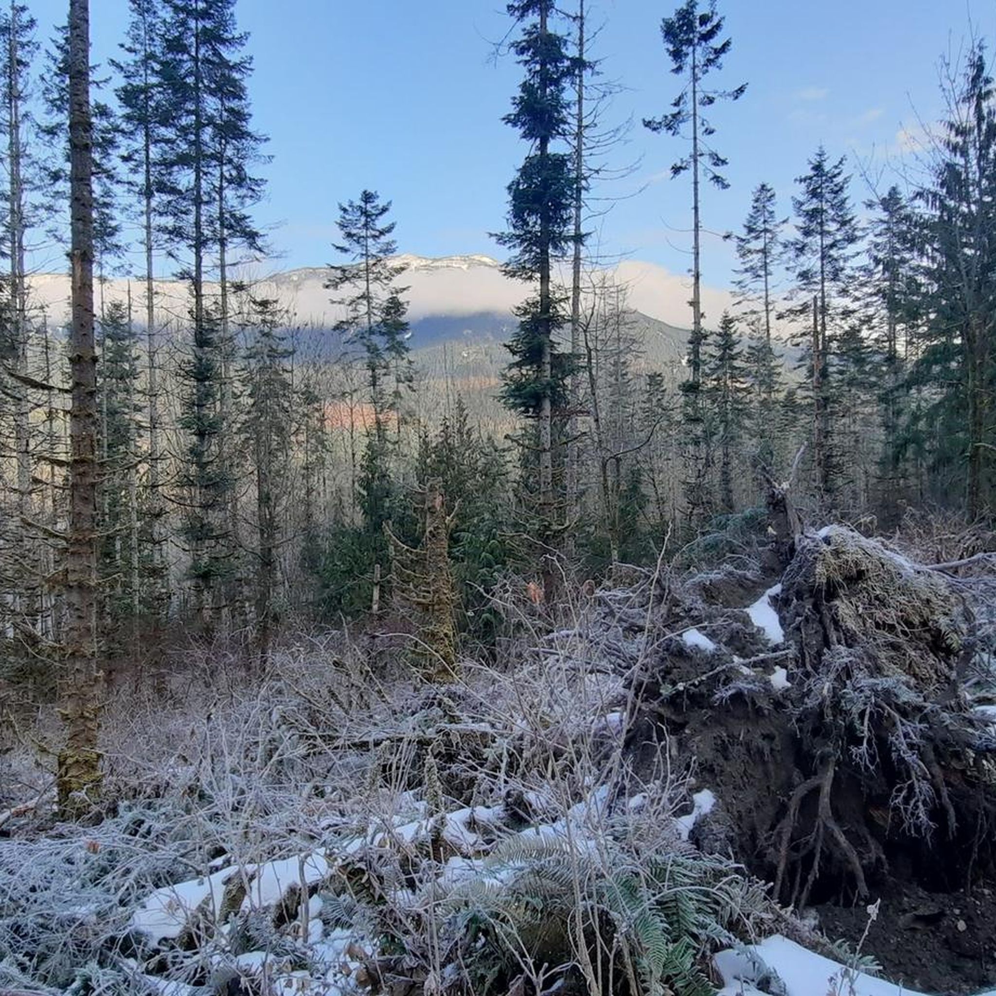
Mount Woodside is a broad summit ridge with sweeping views toward the Harrison River, surrounding farmlands, and distant mountains. To get there, you’ll hike up a steady climb through the lush coastal forest before the trail opens to wide viewpoints over the Fraser Valley. It’s a great spot to catch a sunset or simply enjoy the panorama after the workout. If you want to extend your hike, you can continue to Stacey Lake, less than one kilometer from the peak. The trail can get muddy after rain, so good footwear is recommended.
0
0

The Mount Woodside Trail follows a steeply-graded forest road for its entire duration. While the route is easy to navigate, it lacks shade or water sources, so plan accordingly. However, there is an outhouse available at the Launch Site.
0
0
Frequently Asked Questions
How many hiking trails are available in Fraser Valley D?
Fraser Valley D offers a diverse selection of over 20 hiking trails, catering to various skill levels. You'll find everything from easy loops to challenging mountain ascents.
Are there easy hiking trails suitable for families in Fraser Valley D?
Yes, Fraser Valley D has several easy trails perfect for families. A popular choice is the Hicks Lake loop from Sasquatch Provincial Park, an easy 3.8-mile (6.1 km) trail that winds through forests around the lake. Additionally, the short walk to Bridal Veil Falls in Bridal Veil Falls Provincial Park is very family-friendly.
What are some challenging hikes for experienced trekkers in Fraser Valley D?
For experienced hikers seeking a challenge, the Fraser Valley D region offers demanding routes with significant elevation gain. Consider the Ultimate Lookout via Campbell Lake Trail near Harrison Hot Springs, a difficult 7.3-mile (11.7 km) trail. Another strenuous option is Bear Mountain, also near Harrison Hot Springs, which features nearly 1000 meters of elevation gain over 18.4 km.
Can I find trails with waterfalls in Fraser Valley D?
Absolutely! The Fraser Valley D is home to stunning waterfalls. Bridal Veil Falls is a prominent 60-meter waterfall located within Bridal Veil Falls Provincial Park, offering an easy walk to its base. You might also encounter Bosumarne Falls, another beautiful natural feature in the area.
Are there any circular hiking routes in Fraser Valley D?
Yes, there are several circular routes available. The Hicks Lake loop from Sasquatch Provincial Park is a popular easy circular trail. For a more challenging loop, the Mount Woodside & Stacey Lake loop near Harrison Mills offers a difficult 15.4 km experience.
What kind of natural landscapes can I expect to see while hiking in Fraser Valley D?
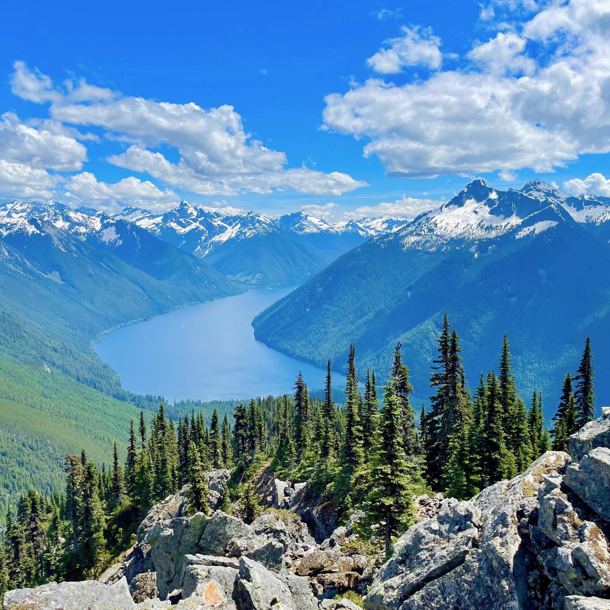
Fraser Valley D boasts incredibly diverse natural landscapes. You'll hike through lush old-growth forests, past picturesque lakes like Lindeman Lake and Hicks Lake, and along significant waterways like the Fraser River. The region is framed by the Coast and Cascade mountain ranges, offering dramatic vistas and varied terrain.
What do other hikers say about the trails in Fraser Valley D?
The trails in Fraser Valley D are highly regarded by the komoot community, with an average rating of 4.6 stars from over 70 reviews. Hikers often praise the stunning natural beauty, the variety of terrain, and the well-maintained paths that lead to breathtaking viewpoints and serene lakes.
Are there any specific attractions or landmarks to look out for along the trails?
Beyond the natural beauty, you can discover several notable attractions. Lindeman Lake is a highlight, known for its pristine turquoise waters. You can also visit Bridal Veil Falls, a spectacular waterfall. The region's trails often lead to impressive viewpoints overlooking the Fraser Valley and surrounding mountains.
What is the best time of year to go hiking in Fraser Valley D?
The best time for hiking in Fraser Valley D is typically from late spring through early autumn (May to October) when the weather is mild, and trails are generally clear of snow. Summer offers the warmest temperatures, while spring and fall provide vibrant foliage and fewer crowds. Some lower elevation trails may be accessible year-round, but higher mountain routes will be snow-covered in winter.
Are dogs allowed on hiking trails in Fraser Valley D?
Many trails in Fraser Valley D are dog-friendly, but regulations can vary by park or specific trail. It's always best to check the local park rules before heading out. Generally, dogs should be kept on a leash to protect wildlife and ensure a pleasant experience for all hikers.
Are there any trails that offer great views of the Fraser Valley?
Yes, many trails in Fraser Valley D provide spectacular panoramic views. Routes like the challenging Mount Cheam Peak (outside the immediate guide data but a regional highlight) and Elk Mountain Trail are renowned for their vistas of the Fraser Valley, Cultus Lake, and the surrounding mountain ranges. Even moderate trails like Mount Woodside Forest Service Road offer rewarding glimpses of the landscape as you ascend.
Most popular attractions around Fraser Valley D

Get inspired with the komoot mobile app


Explore more
Browse the best Hikes in other regions.
