The best road cycling routes around Saanich
4.8
(171)
4,988
riders
52
rides
Road cycling around Saanich offers diverse landscapes and extensive trail networks on Vancouver Island. The region features routes with scenic waterfronts, tranquil mature forests, and picturesque farmlands. Saanich is characterized by its commitment to expanding cycling infrastructure, including multi-use trails like the Lochside Regional Trail and the Galloping Goose Regional Trail, which provide varied terrain for riders.
Best road cycling routes around Saanich
- The most popular road cycling route is Sewage Pump Site – Victoria Golf Club loop from St. Michaels University School, a 16.6 miles (26.7 km) trail that takes 1 hour 11 minutes to complete. This easy route offers views of the coastline and passes by the Victoria Golf Club.
- Another top favourite among local road cyclists is Lochside Regional Trail – Pat Bay Cycle Path loop from Lambrick Park Secondary, a moderate 21.9 miles (35.3 km) path. This route utilizes established multi-use trails, providing a mix of paved surfaces and varied scenery.
- Local road cyclists also love the Galloping Goose Regional Trail – Glen Lake Park loop from St. Michaels University School, a 25.4 miles (40.9 km) trail leading through urban, rural, and forested landscapes, often completed in about 2 hours 2 minutes.
- Road cycling around Saanich is defined by ocean vistas, mature forests, and farmlands, with routes often incorporating multi-use trails. The network offers options for different ability levels, from easy loops to more challenging moderate rides.
- The routes in Saanich are highly rated by the komoot community with an average score of 4.6 stars from over 30 reviews. More than 1500 road cyclists have used komoot to explore Saanich's varied terrain.
Last updated: August 24, 2026
4.6
(27)
637
riders
Moderate road ride. Good fitness required. Some segments of this route may be unpaved and difficult to ride.
5.0
(7)
217
riders
27.4km
01:15
210m
210m
Easy road ride. Great for any fitness level. Mostly well-paved surfaces and easy to ride.

Sign up for free
116
riders
50.4km
02:24
370m
370m
Moderate road ride. Good fitness required. Some segments of this route may be unpaved and difficult to ride.
4.7
(13)
445
riders
Moderate road ride. Good fitness required. Mostly well-paved surfaces and easy to ride.
58
riders
Moderate road ride. Good fitness required. Some segments of this route may be unpaved and difficult to ride.
Get access to more routes and recommendations from other explorers.
Sign up for free
Already have an account?
Our route recommendations are based on thousands of hikes, rides, and runs completed by other people on komoot.
Start today with a free account
Your next adventure awaits.
Login or Signup
Tips from the Community

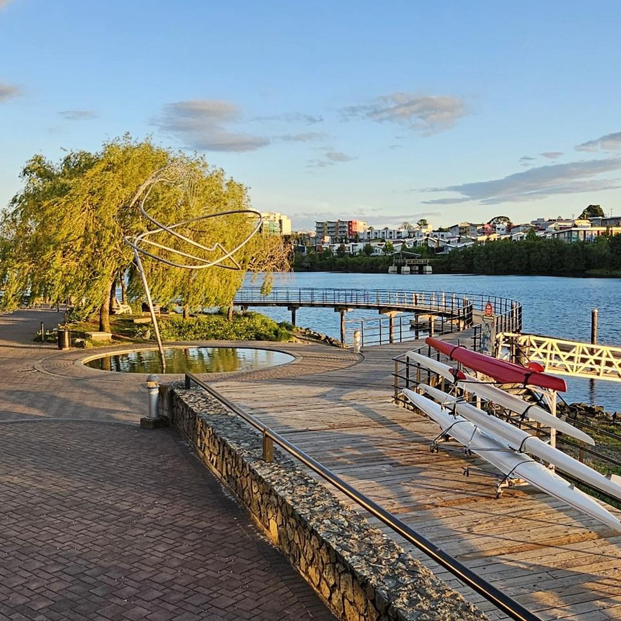
This paved, multiuse path follows Bowker Creek for almost all of its 1.3 km length. For a longer adventure, link it up with other pedestrian-friendly trails around Oak Bay.
0
0

Colwood Creek Park features expansive open lawns that provide plenty of room for picnics and outdoor recreation. There's also a playground and a splash pad serves as a popular summer hub for families looking to beat the heat. A paved, well-lit pathway threads through the park, and it connects to the Galloping Goose Regional Trail so you can explore the area further if you have the time.
0
0

Established in 1882, Beacon Hill Park is Victoria's most famous urban park, combining Garry oak meadows, ponds, gardens, woodland trails, and ocean viewpoints within a single green space. The park stretches all the way to the shores of the Strait of Juan de Fuca and is known for its free-roaming peacocks, historic landmarks, and extensive walking paths. Despite being close to downtown Victoria, it feels surprisingly varied, with everything from manicured gardens to pockets of native coastal habitat.
0
0

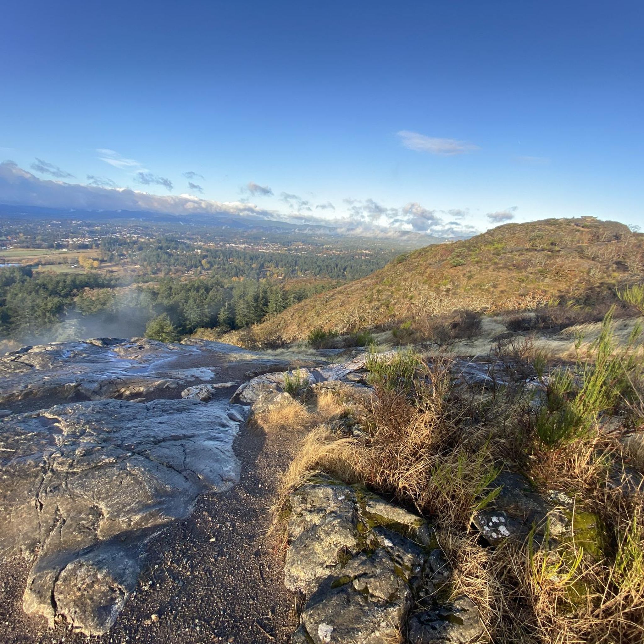
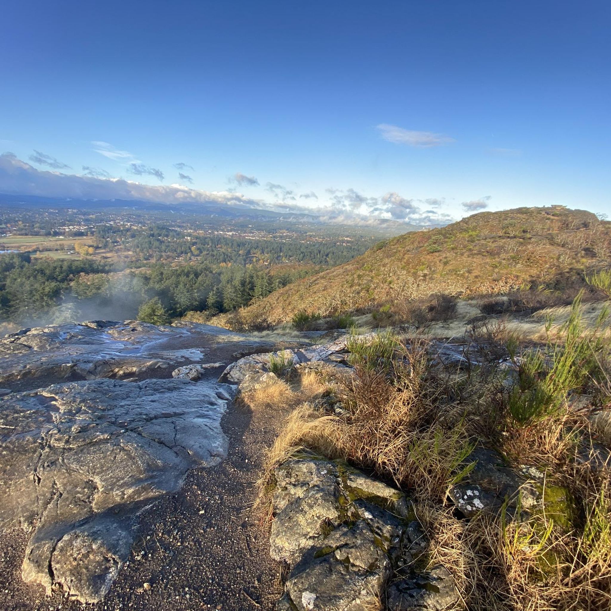
Mount Tolmie Park is a popular spot known for its elevated panoramic views over Victoria, the Saanich Peninsula, and surrounding waterways, with sightlines extending to the Olympic Mountains, San Juan Islands, and even Mount Baker on clear days. There are more than 1.5 kilometres of trails that wind through oak meadows, along rocky outcrops, and arbutus woodland to viewpoints, picnic areas, and quieter natural spaces. Despite being close to the city, the park feels surprisingly natural, with rocky bluffs, beautiful wildflowers in spring, and the chance to explore one of British Columbia’s few native Garry oak ecosystems.
0
0
This lookout offers sweeping 360-degree views over Victoria, the Saanich Peninsula, surrounding waterways, and distant mountain ranges, and is one of the region’s most accessible viewpoints. From here, you can look across neighbourhoods, the University of Victoria, the Gulf, and San Juan Islands, and on clear days see both the Olympic Mountains and Mount Baker rising on the horizon. Just a short walk from the parking area, there are benches and open rock outcrops that make it a popular place to watch the sunrise, sunset, or enjoy the city views any time of the day.
0
0
Mount Tolmie is a prominent volcanic hill rising about 120 metres above sea level in Saanich, offering some of the widest views in the Victoria area from its rocky summit. Easily reached by trail or road, it is a popular place to watch sunsets, spot spring wildflowers, and take in the vast perspective of the surrounding landscape.
0
0

The Glen Lake trail is a paved, multi-use trail that starts to the north of Rex Road and runs west, eventually connecting to Glen Lake Park. It is a popular trail for biking and is very accessible.
0
0

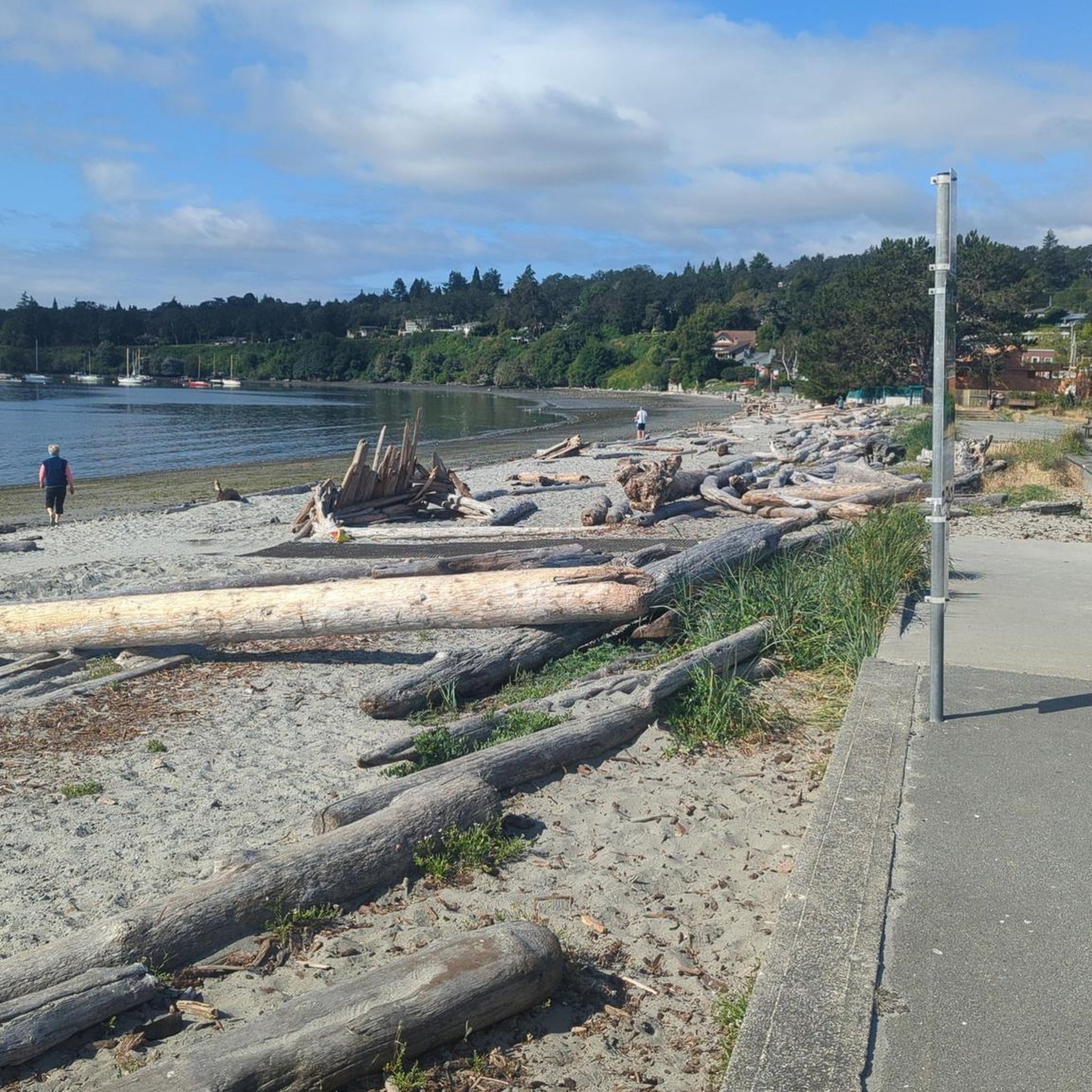
Local sculpture artist Paul Lewis made this driftwood welcome sign in 2020. He has other projects on display in the area, including life-sized driftwood mammoths, eagles, and trolls.
0
0
Frequently Asked Questions
How many road cycling routes are available in Saanich?
Saanich offers a wide selection of road cycling routes, with over 50 options available on komoot. These routes cater to various skill levels, from easy to more challenging rides.
What kind of terrain can I expect on Saanich's road cycling routes?
Road cycling in Saanich features diverse landscapes, from stunning ocean vistas and tranquil mature forests to picturesque farmlands. Many routes incorporate multi-use trails like the Lochside Regional Trail and the Galloping Goose Regional Trail, offering a mix of paved and mixed surfaces.
Are there routes suitable for beginners or families in Saanich?
Yes, Saanich has several routes ideal for beginners and families. The region's commitment to expanding cycling infrastructure means many trails are suitable for various skill levels. For example, the Sewage Pump Site – Victoria Golf Club loop from Estevan Village is an easy 16.6-mile route offering coastal views. The Lochside Regional Trail is also known for its mostly paved surfaces, making it accessible for all.
What are some notable landmarks or viewpoints I can see while cycling in Saanich?
Saanich's routes offer numerous scenic viewpoints and attractions. You can enjoy ocean views of the Olympic Peninsula, the Strait of Juan de Fuca, and Mount Baker on clear days. Observatory Hill provides panoramic views after a climb. Further north, Land's End Road offers views of Salt Spring Island. Some routes may also pass by attractions such as the Inner Harbour, Victoria, or the famous Butchart Gardens.
Are there any loop routes for road cycling in Saanich?
Yes, Saanich is known for its excellent loop routes. A highly regarded option is the Saanich Peninsula Loop Ride, which can be modified for different abilities. The Lochside Regional Trail – Pat Bay Cycle Path loop from The Oaks is another popular moderate loop utilizing established multi-use trails.
What is the best time of year to go road cycling in Saanich?
Saanich is an excellent destination for road cycling for much of the year. While specific seasonal considerations can vary, the region generally offers pleasant conditions from spring through fall. Even in winter, conditions can be mild enough for cycling, though it's always wise to check the local weather forecast.
How can I access Saanich's cycling routes using public transport?
Saanich's cycling infrastructure is designed to connect neighborhoods, and many routes are accessible via public transport. The Capital Regional District's (CRD) Lochside Regional Trail and the Galloping Goose Regional Trail are key multi-use paths that can be reached from various points, often with public transit options nearby. For detailed public transport information, it's best to consult local transit schedules.
Where can I find parking for road cycling trails in Saanich?
Parking is generally available at various access points for Saanich's extensive trail network. Many regional parks and trailheads, such as those along the Lochside Regional Trail and Galloping Goose Regional Trail, offer designated parking areas. Specific parking details can often be found on individual route descriptions or local park websites.
Are there any cafes or refreshment stops along the road cycling routes?
Yes, many road cycling routes in Saanich pass through or near charming areas where you can find cafes and refreshment stops. For instance, the Saanich Peninsula Loop Ride passes by Matticks Farm, which is a potential stop for refreshments. The region also has 'bike kitchens' at key community points, further supporting cyclists.
What do other cyclists say about road cycling in Saanich?
The road cycling experience in Saanich is highly rated by the komoot community, with an average score of 4.7 stars from over 40 reviews. Cyclists often praise the diverse landscapes, the well-maintained multi-use trails, and the variety of routes that cater to different abilities. Over 1500 road cyclists have used komoot to explore Saanich's varied terrain.
Are there more challenging routes for experienced road cyclists in Saanich?
Absolutely. While there are many easy and moderate routes, Saanich also offers more challenging options for experienced road cyclists. For example, the Short Steep Climb – Millstream Lake Road loop from University of Victoria is a moderate route with significant elevation gain, providing a good workout. The Saanich Peninsula Loop Ride can also be modified to include more challenging sections and elevation.
What are the typical lengths of road cycling routes in Saanich?
Road cycling routes in Saanich vary significantly in length to suit different preferences and fitness levels. You can find shorter rides, such as the Sewage Pump Site – Victoria Golf Club loop from Estevan Village at 16.6 miles (26.7 km), up to longer excursions like the Lochside Regional Trail – Inner Harbour, Victoria loop from Ten Mile Point, which spans nearly 60 km.
What kind of cycling infrastructure does Saanich offer?
Saanich is dedicated to expanding its cycling infrastructure, adding new bike lanes annually. The backbone of this network includes the Centennial Trails, the Capital Regional District's (CRD) Lochside Regional Trail, and the Galloping Goose Regional Trail. These multi-use trails are suitable for various skill levels and offer a mix of paved and mixed surfaces. Additionally, Saanich has designated and signed local connectors and touring routes like the Douglas Connector and Seaside Touring Route.
Most popular routes around Saanich
Most popular attractions around Saanich

Get inspired with the komoot mobile app


Explore more
Browse the best Road cycling routes in other regions.
