The best road cycling routes around Maple Ridge
4.6
(36)
929
riders
21
rides
Road cycling routes around Maple Ridge feature diverse terrain, from flat dyke trails along the Alouette, Fraser, and Pitt Rivers to undulating paths near Golden Ears Provincial Park. The region encompasses extensive riverfronts, agricultural fields, and forested areas, providing varied scenery for cyclists. Elevation changes range from gentle climbs on dyke systems to more significant ascents in areas bordering provincial parks. This landscape offers options for various road cycling experiences.
Best road cycling routes in Maple Ridge
- The most popular road cycling route is Derby Reach Regional Park – Glen Valley Viewpoint loop from 201 St (NB) at 96 Ave, a 32.7 miles (52.7 km) trail that takes 2 hours 10 minutes to complete. This moderate route offers views of the Fraser River and agricultural landscapes.
- Another top favourite among local road cyclists is Derby Reach Regional Park – Rest Stop loop from Walnut Grove, a moderate 24.7 miles (39.7 km) path. This route explores riverfront areas and local landscapes.
- Local road cyclists also love the Derby Reach Regional Park – Rest Stop loop from Hope Redwoods Nature Area, a 27.6 miles (44.4 km) trail leading through riverfront areas and dyke systems, often completed in about 1 hour 53 minutes.
- Road cycling around Maple Ridge is defined by extensive dyke trails, river views, and areas bordering provincial parks. The network offers options for different ability levels, from easy, flat rides to more challenging routes with elevation gains.
- The routes in Maple Ridge are highly rated by the komoot community with an average score of 4.6 stars from over 30 reviews. More than 1,000 road cyclists have used komoot to explore Maple Ridge's varied terrain.
Last updated: October 8, 2026
4.9
(10)
154
riders
52.6km
02:10
290m
290m
Moderate road ride. Good fitness required. Mostly well-paved surfaces and easy to ride.
4.0
(5)
87
riders
39.7km
01:41
210m
210m
Moderate road ride. Great for any fitness level. Some segments of this route may be unpaved and difficult to ride.

71
riders
Easy road ride. Great for any fitness level. Mostly well-paved surfaces and easy to ride.
5.0
(4)
52
riders
Moderate road ride. Good fitness required. Mostly well-paved surfaces and easy to ride.
5.0
(1)
13
riders
Easy road ride. Great for any fitness level. Mostly well-paved surfaces and easy to ride.
Get access to more routes and recommendations from other explorers.
Already have an account?
Our route recommendations are based on thousands of hikes, rides, and runs completed by other people on komoot.
Start today with a free account
Your next adventure awaits.

Tips from the Community

St. George's Anglican Church in Fort Langley, BC, is a historic Carpenter Gothic-style church established in 1859 and consecrated in 1901. Located at 9160 Church Street, it remains an active parish known for its inclusive community and heritage architecture.
0
0

Quiet, bucolic, meandering little country road - Telegraph Trail. Ride it either way on a trip around the picturesque Fort Langley Area.
0
0

Small town with lots of cute small shops. Not to be confused with the City of Langley (uninteresting to cyclists) or Langley Township (with lots of country roads through farmland).
0
0
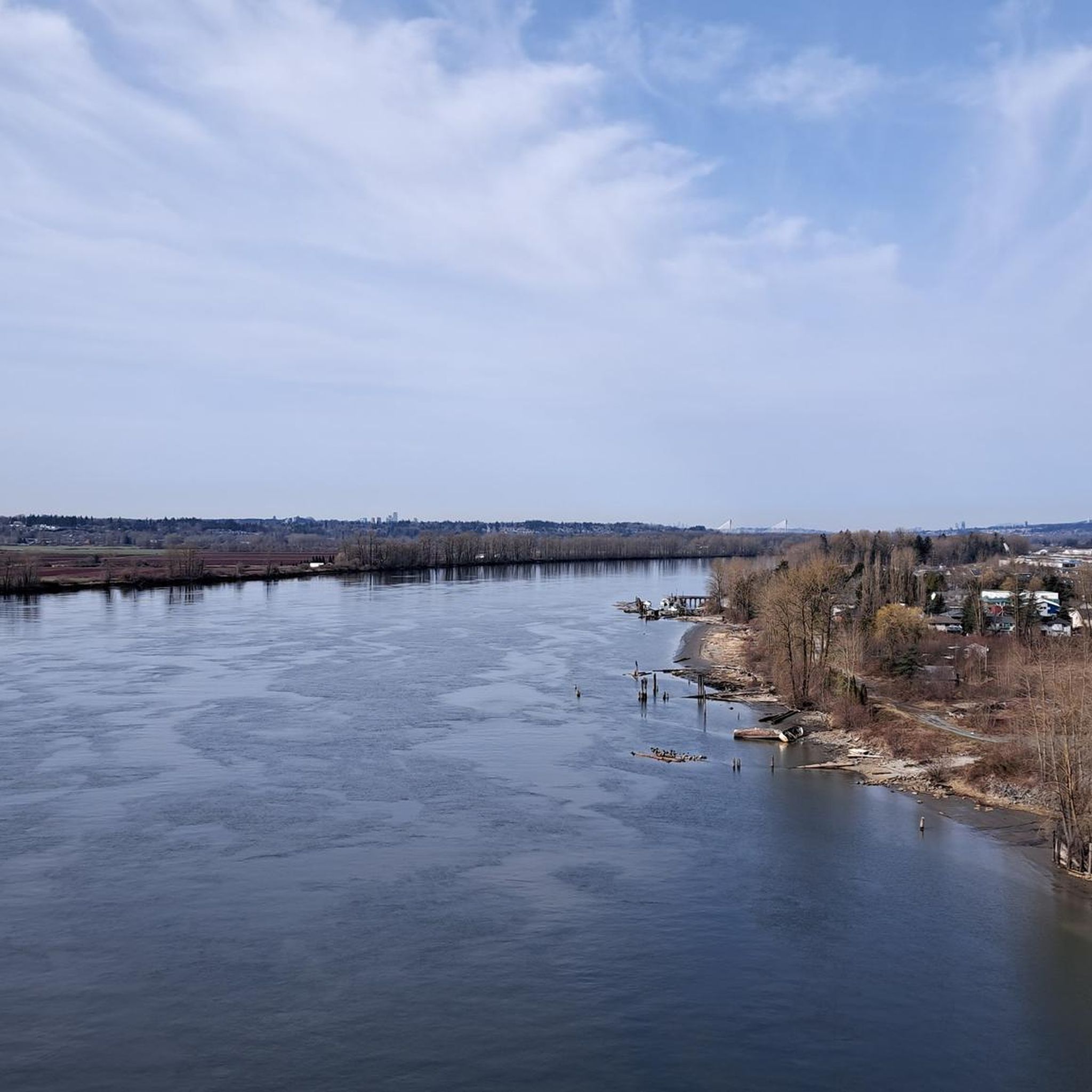
The Golden Ears Bridge is a six-lane extradosed bridge in Metro Vancouver, British Columbia on Fraser River, connecting Langley on the south side with Pitt Meadows and Maple Ridge on the north side. The bridge opened on 16 June 2009.
0
0
The Pitt River Bridge is a cable-stayed bridge that spans the Pitt River between Port Coquitlam and Pitt Meadows in British Columbia, Canada.
0
0
Saba cafe is great for a coffee stop, and snacks, breakfast, or lunch, but they're not open on Mondays. Wendell's is very good, but typically very busy and can be a long wait. Little Donkey has great burritos!
0
0
Picturesque village centre with a number of great cafes for a coffee stop, and casual lunch spots for something more substantial.
0
0
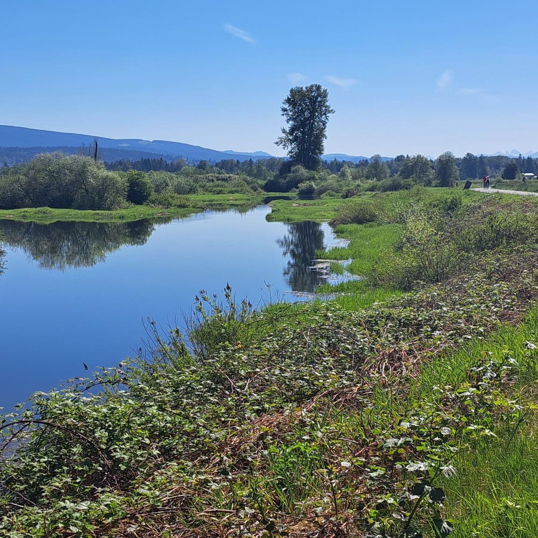
Beautiful and usually quiet road through the park, parallel to the river, that makes a great approach to, or sortie from, Fort Langley.
0
0
Frequently Asked Questions
What kind of terrain can I expect on road cycling routes in Maple Ridge?
Maple Ridge offers diverse road cycling terrain. You'll find extensive flat dyke trails along the Alouette and Fraser Rivers, providing picturesque views of mountains and farm fields. Other areas, particularly those bordering Golden Ears Provincial Park, feature undulating paths with more significant elevation changes. This variety ensures options for both leisurely rides and more challenging ascents.
Are there easy road cycling routes suitable for beginners or families in Maple Ridge?
Yes, Maple Ridge has many easy road cycling routes perfect for beginners and families. The region is known for its flat dyke trails, which are predominantly well-paved and offer gentle rides. For example, the Derby Reach Regional Park – Fort-to-Fort Trail loop from Walnut Grove is an easy 12.1-mile (19.6 km) route through riverfront areas and dyke systems, often completed in under an hour.
Where can I find more challenging road cycling routes in Maple Ridge?
For more challenging road cycling, look towards routes that venture closer to provincial parks, where you'll encounter more significant elevation gains. While many routes are moderate, some offer substantial climbs. The Mill Pond – Kanaka Creek Regional Park loop from Port Haney, for instance, is a moderate 39.9-mile (64.4 km) path with over 800 meters of elevation gain, exploring forested sections and river views.
Are there loop road cycling routes available in Maple Ridge?
Yes, many road cycling routes in Maple Ridge are designed as loops, allowing you to start and end at the same point. Popular loop options include the Derby Reach Regional Park – Glen Valley Viewpoint loop from 201 St (NB) at 96 Ave, which is a moderate 32.7-mile (52.7 km) route offering views of the Fraser River and agricultural landscapes.
What are the typical distances of road cycling routes in Maple Ridge?
Road cycling routes in Maple Ridge vary widely in distance to suit different preferences. You can find shorter, easy loops around 12 miles (19 km), such as the Derby Reach Regional Park – Fort-to-Fort Trail loop from Walnut Grove. There are also longer, moderate routes extending up to 40 miles (64 km), like the Mill Pond – Kanaka Creek Regional Park loop from Port Haney, providing options for various endurance levels.
What scenic viewpoints or natural features can I see along the routes?
Road cycling routes in Maple Ridge offer numerous scenic viewpoints and natural features. You'll often ride along dyke trails with views of the Fraser and Alouette Rivers, cranberry fields, and mountains. Routes near Golden Ears Provincial Park provide spectacular views of snow-capped mountains and Alouette Lake. You might also spot wildlife like eagles and herons along the riverbanks.
Are there any specific attractions or landmarks to explore near the road cycling routes?
Yes, several attractions and landmarks are accessible near Maple Ridge's road cycling routes. You can explore the Fort-to-Fort Trail, which is part of several routes, or visit the Rolley Lake Boardwalk. The region also features various bridges like the Tynehead Pedestrian Overpass and the Golden Ears Bridge, Fraser River, offering unique perspectives.
Is parking available near the road cycling routes in Maple Ridge?
Yes, parking is generally available near many of the popular road cycling routes and parks in Maple Ridge. Areas like Derby Reach Regional Park and Kanaka Creek Regional Park, which serve as starting points for several routes, typically offer designated parking facilities for visitors.
What is the best time of year for road cycling in Maple Ridge?
The best time of year for road cycling in Maple Ridge is typically from spring through fall, when the weather is mild and precipitation is lower. During these seasons, you can fully enjoy the scenic dyke trails, river views, and park areas. While winter options exist, conditions may be wetter and cooler.
Are there options for road cycling during winter in Maple Ridge?
While the peak season is warmer, road cycling in Maple Ridge is possible during winter, though conditions will be cooler and potentially wetter. The predominantly flat dyke trails may still be accessible, but it's advisable to check local weather and trail conditions before heading out. Some routes might be less crowded during this time.
Can I find cafes or places to stop for refreshments along the routes?
Yes, Maple Ridge and its surrounding areas offer opportunities to find cafes and refreshment stops. The city actively promotes cycling events like 'Bikes & Bites,' which highlight local artisan food and farm-to-table hotspots. Many routes pass through or near communities where you can find places to refuel.
How many road cycling routes are available in Maple Ridge?
There are over 25 road cycling routes available around Maple Ridge, catering to various skill levels. This includes 16 easy routes, 11 moderate routes, and 1 difficult route, ensuring a wide range of options for every cyclist.
What do other road cyclists say about the routes in Maple Ridge?
The road cycling routes in Maple Ridge are highly regarded by the komoot community, boasting an average rating of 4.5 stars from over 30 reviews. Cyclists often praise the diverse terrain, from flat dyke trails with river views to more challenging paths near provincial parks, and the overall scenic beauty of the region.
Are there less crowded road cycling options in Maple Ridge?
While popular routes can see more traffic, Maple Ridge offers a wide network of trails, making it possible to find less crowded options, especially during off-peak hours or seasons. Exploring routes slightly off the main dyke systems or venturing into less-trafficked areas can provide a more serene cycling experience.
Most popular routes around Maple Ridge
Most popular attractions around Maple Ridge

Get inspired with the komoot mobile app


Explore more
Browse the best Road cycling routes in other regions.
