The best running trails around Sundkilen
4.6
(5)
101
runners
5
runs
Jogging routes around Sundkilen offer a diverse landscape for runners, characterized by its connection to Kviteseidvatnet and the Telemark Canal. The region features a mix of lakeside paths, varied forest terrain, and gentle hills, providing different environments for running. These routes often provide views over surrounding forests and water bodies, making for scenic running experiences.
Best jogging routes around Sundkilen
- The most popular jogging route is Fosshøgget – Støylslian loop from Fossøyi, a 5.9 miles (9.4 km) trail that…
Last updated: June 28, 2026
5.0
(1)
6
runners
9.43km
01:08
290m
290m
Moderate run. Good fitness required. Mostly paved surfaces. Suitable for all skill levels.
4.7
(3)
4
runners
6.90km
00:50
270m
270m
Moderate run. Good fitness required. Mostly paved surfaces. Suitable for all skill levels.

Sign up for free
37
runners
10.1km
01:10
90m
90m
Moderate run. Good fitness required. Mostly paved surfaces. Suitable for all skill levels.
4.0
(1)
6
runners
3.80km
00:26
40m
40m
Easy run. Great for any fitness level. Mostly paved surfaces. Suitable for all skill levels.
6
runners
5.83km
00:40
60m
60m
Moderate run. Good fitness required. Mostly paved surfaces. Suitable for all skill levels.
Our route recommendations are based on thousands of hikes, rides, and runs completed by other people on komoot.
Start today with a free account
Your next adventure awaits.
Login or Signup
Popular around Sundkilen
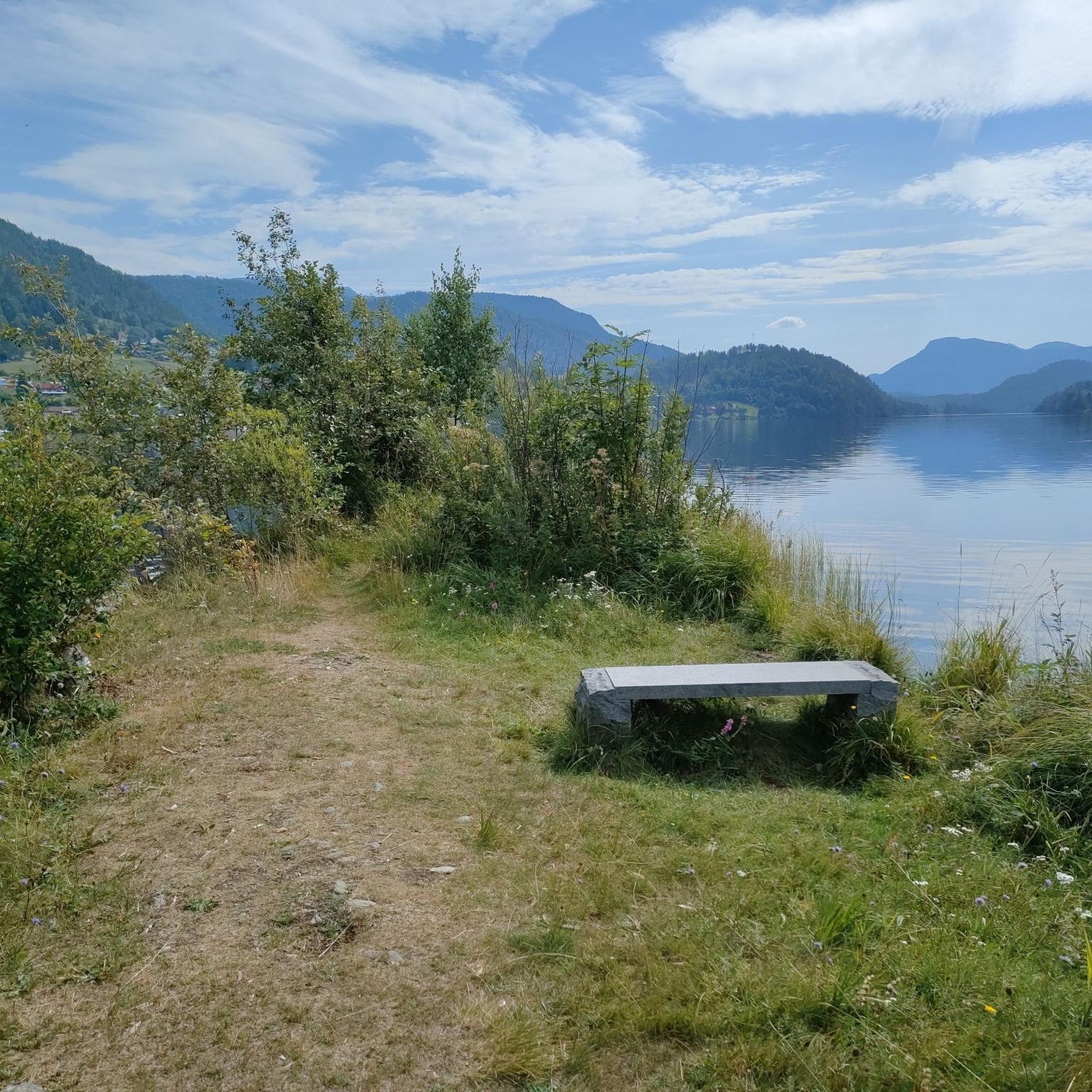
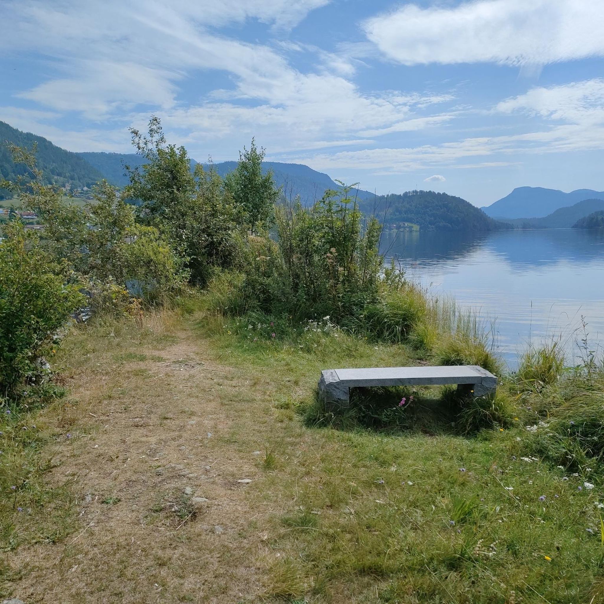
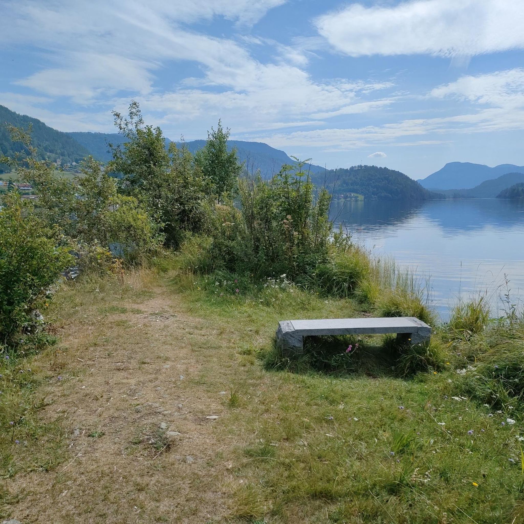
Tips from the Community

Here, next to the old lock, there is a small museum explaining the function and meaning of the locks, as well as information about wood rafting.
1
0
Frequently Asked Questions
How many running routes can I find around Sundkilen?
There are over 5 dedicated running routes around Sundkilen, offering a variety of experiences. These range from easy, shorter paths to more moderate challenges with varied terrain and elevation changes.
Are there any easy or beginner-friendly jogging routes in Sundkilen?
Yes, Sundkilen offers accessible paths suitable for various jogging experiences, including easier options. For instance, the Running loop from Fiskebekk is classified as an easy route, perfect for beginners or a relaxed run.
What kind of scenery can I expect on the running trails in Sundkilen?
Jogging routes around Sundkilen offer diverse and picturesque landscapes. You can expect serene lakeside paths with tranquil water views, trails winding through forests and wetlands, and paths that provide impressive vistas over surrounding forests and distant mountains. The region's connection to Kviteseidvatnet and the Telemark Canal ensures plenty of scenic water-based backdrops.
Are there any circular running routes in the Sundkilen area?
Many of the running routes in Sundkilen are designed as loops, offering convenient circular paths. Examples include the popular Fosshøgget – Støylslian loop from Fossøyi, the scenic Stemtjønn loop from Eidstod, and the Halandtjønni loop from Eidstod, all providing varied terrain and beautiful views.
What do other runners enjoy most about jogging in Sundkilen?
The running routes in Sundkilen are highly rated by the komoot community, with an average score of 4.6 stars. Runners often praise the serene lake environments, diverse forest trails, and accessible pathways that offer options for both easy runs and more moderate challenges.
Are the running trails in Sundkilen suitable for families?
Yes, the Sundkilen area offers a mix of trails, with some being easily accessible and suitable for families. While specific 'family-friendly' designations vary, the presence of easy-graded paths means that families can find enjoyable routes for a shared outdoor experience. Consider shorter, flatter loops for younger children.
Can I bring my dog on the jogging routes around Sundkilen?
Generally, dogs are welcome on outdoor trails in Norway, but it's always advisable to keep them on a leash, especially during certain seasons to protect wildlife. Always check local signage for specific rules or restrictions on individual trails or protected areas around Sundkilen to ensure a pleasant experience for everyone.
What is the best time of year to go jogging in Sundkilen?
The landscape around Sundkilen transforms with the seasons, offering distinct jogging experiences. While summer provides warm weather ideal for outdoor activities, the region is beautiful in spring and autumn with vibrant foliage. Even winter can be an option, as Sundkilen freezes over, historically supporting unique activities, though trails might require different gear.
Are there any notable landmarks or points of interest along the running routes?
While jogging, you'll encounter the natural beauty of the Telemark Canal and Kviteseidvatnet. The municipal center, Kviteseidbyen, located at the inner end of Sundkilen, offers a charming backdrop with its pier area and historical significance, which can be incorporated into or explored before/after your run. The Dalaåi River, the largest inflow to Sundkilen, also provides scenic routes along its banks.
Where can I find parking for the jogging routes in Sundkilen?
Parking availability varies by trailhead. Many popular starting points for trails, especially those near towns like Eidstod or Kviteseidbyen, typically offer designated parking areas. It's recommended to check the specific route details on komoot for parking information related to your chosen running path, such as the Storstraum – Sigrishaug loop from Vrådal kyrkje.
Are there cafes or restaurants near the running trails in Sundkilen?
Yes, the Kviteseid area, particularly Kviteseidbyen, offers amenities such as cafes and restaurants where you can refuel before or after your run. These establishments provide a chance to experience local hospitality and cuisine, making for a complete outdoor experience.
Can I reach the running trails in Sundkilen using public transport?
Public transport options in rural areas like Sundkilen might be limited compared to larger cities. However, Kviteseidbyen, as the municipal center, is generally more accessible. For specific trailheads, it's best to research local bus schedules or other transport services connecting to Kviteseid or nearby villages. For broader information on the region's activities, you might find resources on visittelemark.com.

Get inspired with the komoot mobile app


Explore more
Browse the best Running Trails & Routes in other regions.
