The best road cycling routes around Brusdalsvatnet
4.6
(6)
352
riders
19
rides
Road cycling routes around Brusdalsvatnet offer a blend of tranquil natural beauty and proximity to urban areas on Uksenøya island in Ålesund Municipality. The region is characterized by the long, narrow Brusdalsvatnet lake, which stretches approximately 5.9 miles (9.5 km) in length, with surrounding mountains reflecting in its calm surface. This area transitions from peaceful countryside to the outskirts of Ålesund, providing varied scenery for road cyclists. As Brusdalsvatnet is Ålesund's primary drinking water source, certain restrictions are in place,…
Last updated: July 12, 2026
3.0
(2)
37
riders
Moderate road ride. Good fitness required. Some segments of this route may be unpaved and difficult to ride.
27
riders
70.1km
03:19
870m
870m
Moderate road ride. Good fitness required. Mostly well-paved surfaces and easy to ride.

Sign up for free
9
riders
Moderate road ride. Good fitness required. Mostly well-paved surfaces and easy to ride.
3
riders
87.5km
04:27
1,110m
1,110m
Hard road ride. Very good fitness required. Some segments of this route may be unpaved and difficult to ride.
15
riders
71.0km
03:16
720m
720m
Moderate road ride. Good fitness required. Some segments of this route may be unpaved and difficult to ride.
Get access to more routes and recommendations from other explorers.
Sign up for free
Already have an account?
Our route recommendations are based on thousands of hikes, rides, and runs completed by other people on komoot.
Start today with a free account
Your next adventure awaits.
Login or Signup
Tips from the Community

Secondary road with nice view of the nature around, a good spot to enjoy the landscape.
0
0
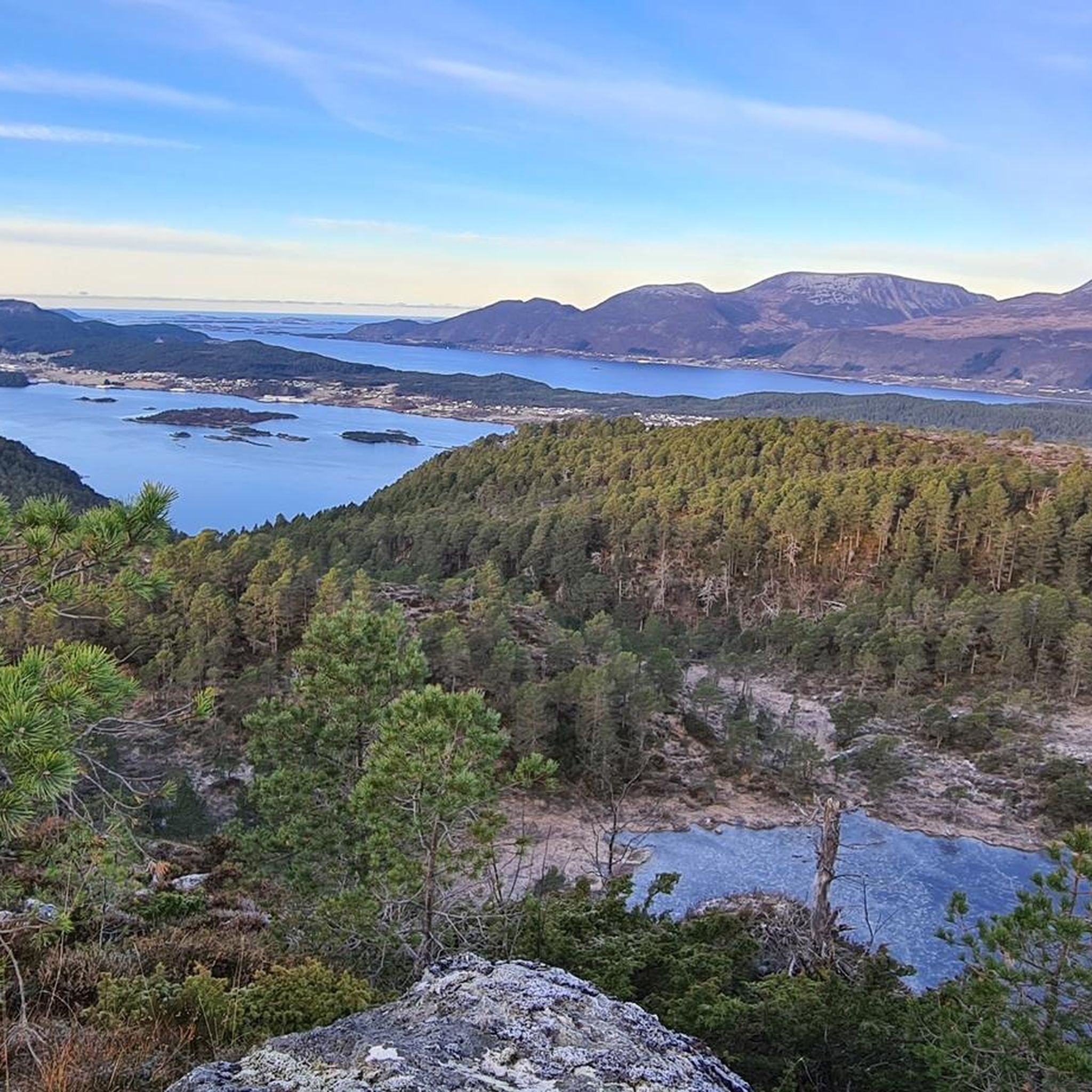
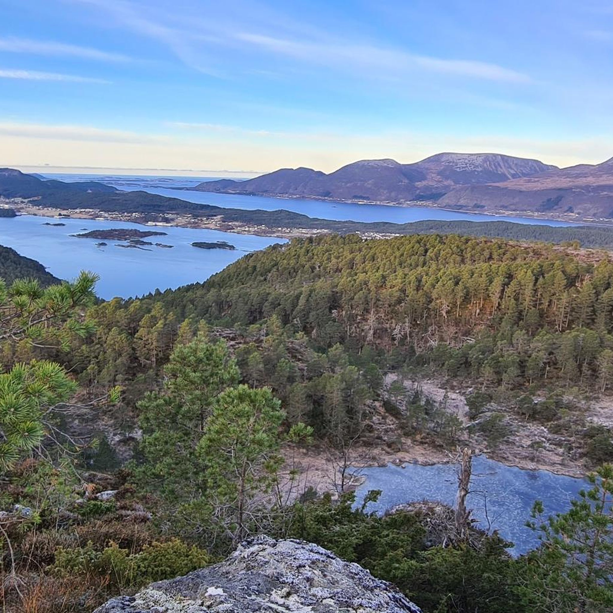
From Sjøholt, you have a terrific view of Storfjorden, with spectacular mountains surrounding the area and framing the water year-round. The landscape blends majestic mountains, serene fjords, and lush forests, offering both alpine scenery and sweeping coastal views.
0
0

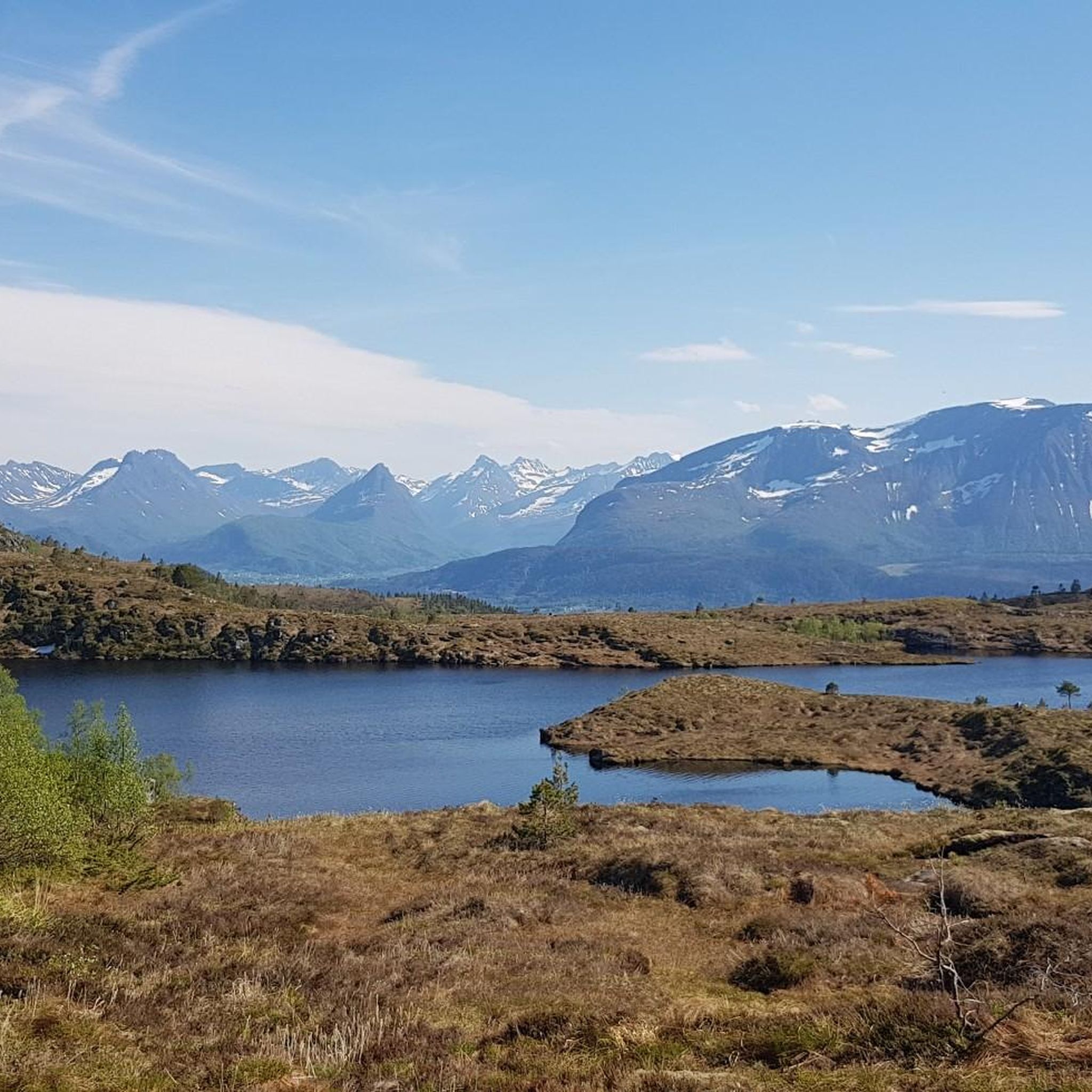
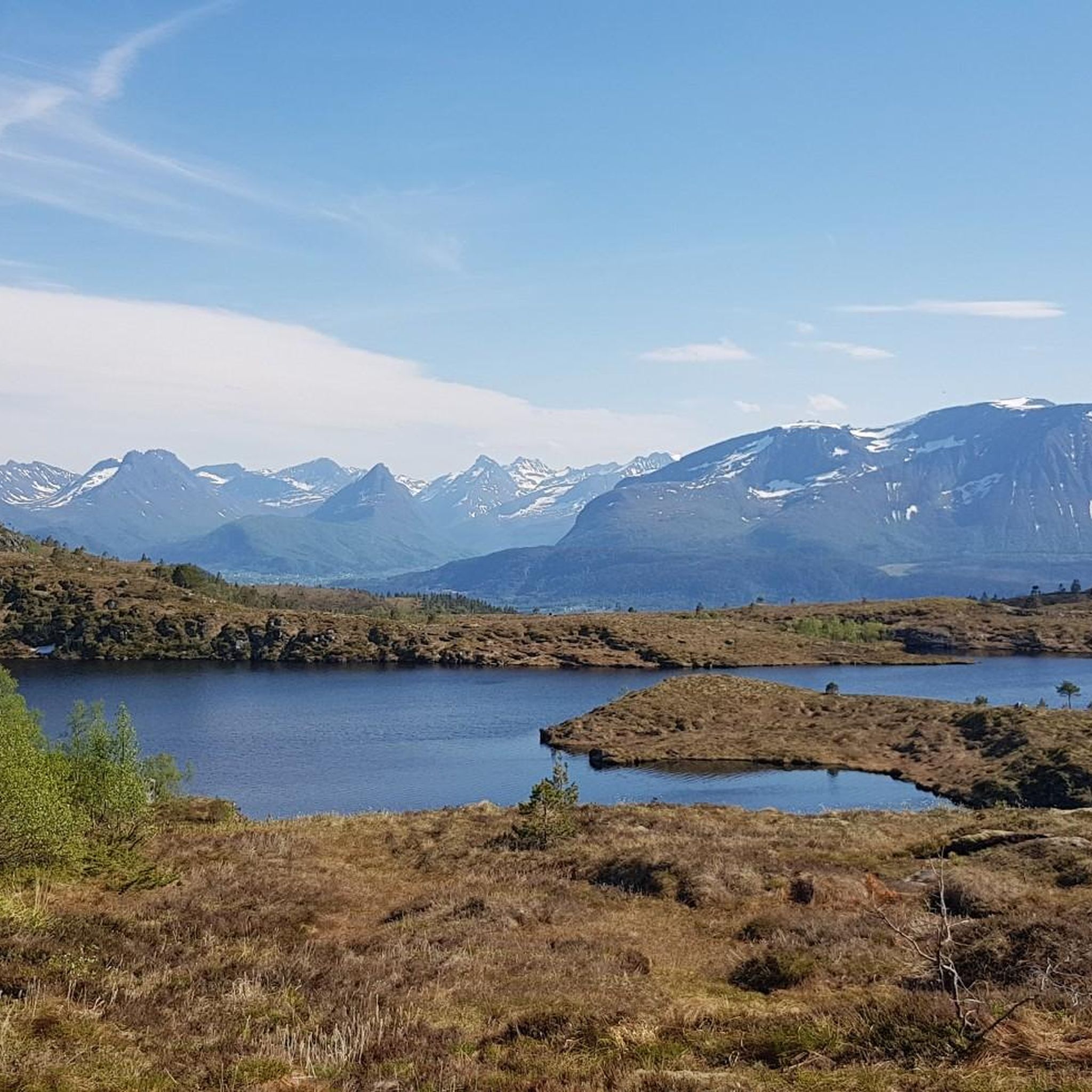
Lillevannet lies like a calm sheet of water, backed by dark, rounded hills and a ribbon of greenery along the shore. The surface is wide and reflective—perfect for a slow pause, especially where the grassy bank meets the path. Nearby houses peek through the trees, so the mood stays peaceful but never isolated. On clear moments, the valley views open up and the whole lake feels sheltered and still.
0
0

Beautiful place to rest and enjoy the view! If there are already many people there, you can simply walk a bit further and find many other viewpoints.
1
0

Great overview of the city
0
1

A nice crossover through some beautiful forrest from the sweet water reservoir Brusdalsvatnet to the salty fjordland or vice versa. Compacted gravel, moderate slopes. No traffic.
0
0
Don’t miss the Midsummer Fire at this famous spot if you are around at that time of the year. It holds a World Record under the Guiness Book. Alternatively watch it on TV.
0
0

Frequently Asked Questions
How many road cycling routes are available around Brusdalsvatnet?
There are over 20 road cycling routes in the Brusdalsvatnet area, offering a variety of experiences for cyclists. These routes are highly rated by the komoot community, with an average score of 4.6 stars.
What kind of terrain can I expect when road cycling around Brusdalsvatnet?
The terrain around Brusdalsvatnet offers a picturesque blend of natural beauty, with mountains reflecting in the calm waters and a gentle transition from peaceful countryside to the outskirts of Ålesund. Cyclists can expect roads, trails, and bike paths that provide a serene cycling experience.
Are there road cycling routes suitable for beginners or those seeking an easier ride?
Yes, among the routes around Brusdalsvatnet, there are 3 classified as easy. These routes offer a less challenging experience, allowing you to enjoy the tranquil scenery without significant elevation gains.
Are there any challenging road cycling routes for experienced riders?
For experienced riders seeking a challenge, there are 6 difficult road cycling routes around Brusdalsvatnet. An example is the Storholmen loop from Juvågen, which covers 86.8 km with over 1000 meters of elevation gain.
Are there circular road cycling routes around Brusdalsvatnet?
Yes, many of the road cycling routes in the Brusdalsvatnet area are designed as loops, allowing you to start and end at the same point. For instance, the Storholmen loop from Myrland is a popular circular option.
What are the best times of year for road cycling around Brusdalsvatnet?
The area is generally best for road cycling during the warmer months when the weather is mild and the roads are clear of snow and ice. Summer days offer stunning views of mountains reflecting in the water. While specific winter conditions vary, it's advisable to check local forecasts for road conditions outside of peak season.
Is there parking available for road cyclists near Brusdalsvatnet?
While specific designated cycling parking areas are not detailed, the presence of established routes and local usage suggests that parking options are available in the vicinity, particularly near starting points for popular routes. It's recommended to check local maps or route descriptions for specific parking suggestions.
Can I reach Brusdalsvatnet by public transport for road cycling?
Brusdalsvatnet is located on Uksenøya island in Ålesund Municipality. While direct public transport to every starting point may vary, Ålesund itself is well-connected. Cyclists can often use public transport to reach the general area and then cycle to their desired route starting point.
Are there any restrictions or special considerations when cycling around Brusdalsvatnet?
Yes, Brusdalsvatnet serves as Ålesund's primary drinking water source, so certain restrictions are in place to preserve its pristine environment. These include prohibitions on road building in the catchment area, tent pitching, and all boat traffic. Cyclists should respect these regulations to help maintain the lake's quality.
What do other road cyclists enjoy most about road cycling in Brusdalsvatnet?
The area is highly rated by the komoot community, with an average score of 4.6 stars from over 6 reviews. Cyclists often praise the tranquil natural beauty, the reflective waters, and the unique transition from peaceful countryside to urban proximity. The varied terrain and options for different ability levels are also frequently highlighted.
Are there any specific routes that offer views towards Ålesund?
Yes, the View of Ålesund from Aksla – Molde Bathing Spot loop from Vegsundholmane-Veibustholmen naturreservat is a popular route that specifically offers views towards Ålesund, allowing cyclists to enjoy both the natural landscape and glimpses of the city.
Are there any routes that feature significant elevation gain for a more strenuous ride?
Absolutely. Routes like the Ålesund Harbour – Ålesund Harbour loop from Skinstadreset naturreservat, while moderate, still offer notable elevation changes. For even more significant climbs, consider the difficult routes which often feature over 1000 meters of ascent.

Get inspired with the komoot mobile app


Explore more
Browse the best Road cycling routes in other regions.
