The best walks and hikes around Steinsvannet
4.3
(111)
329
hikers
17
hikes
Hiking around Steinsvannet offers a diverse landscape characterized by freshwater lakes, forested areas, and rolling hills. The region provides a network of trails suitable for exploring its natural environment. These paths often lead through nature reserves and offer views of the surrounding terrain. The area's topography includes both gentle ascents and more level sections, making it accessible for various hiking preferences.
Best hiking trails around Steinsvannet
- The most popular hiking route is Rislåknuten Summit – Knutelia loop from Rislåknuten naturreservat…
Last updated: June 25, 2026
3.0
(1)
14
hikers
5.24km
01:49
280m
280m
Easy hike. Great for any fitness level. Easily-accessible paths. Suitable for all skill levels.
5.0
(1)
5
hikers
5.84km
01:41
140m
140m
Easy hike. Great for any fitness level. Easily-accessible paths. Suitable for all skill levels.

Sign up for free
5.0
(7)
21
hikers
8.80km
02:33
200m
200m
Moderate hike. Good fitness required. Easily-accessible paths. Suitable for all skill levels.
5.0
(2)
12
hikers
4.10km
01:14
130m
130m
Easy hike. Great for any fitness level. Easily-accessible paths. Suitable for all skill levels.
4.6
(27)
60
hikers
5.49km
01:37
160m
160m
Easy hike. Great for any fitness level. Easily-accessible paths. Suitable for all skill levels.
Get access to more routes and recommendations from other explorers.
Sign up for free
Already have an account?
Our route recommendations are based on thousands of hikes, rides, and runs completed by other people on komoot.
Start today with a free account
Your next adventure awaits.
Login or Signup
Popular around Steinsvannet
Tips from the Community

On the wooded climb leading to the summit of Rislåknuten, this clearing offers a stunning view of the Tovdalselva valley. It’s the perfect spot to catch your breath before the final stretch to the summit.
0
0
The summit of Rislåknuten rises to 376 metres. Its 360-degree panoramic view overlooks the entire nature reserve and its surroundings.
0
0
The climb up to Rislåknuten, which is fairly easy, takes you through a lovely forest, particularly during the first part. It’s a peaceful setting before you reach the stunning panoramic views from the summit.
0
0

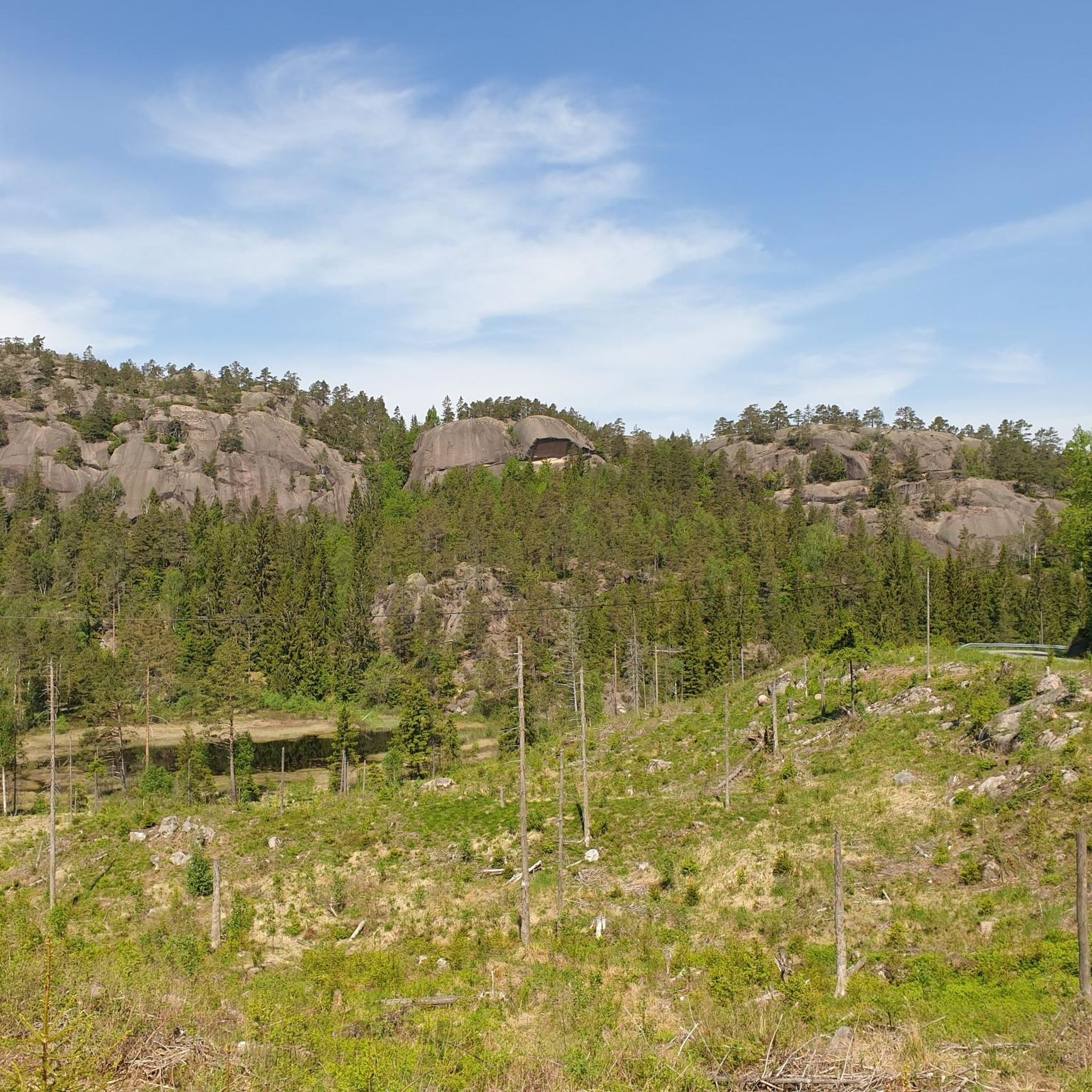
Who will find the troll?
0
0
Short climb, picnic bench, great view, perfect with a cyclist 😍.
0
0
Natural idyll, cool, soft lake water...you can stay here for a long time.
0
0

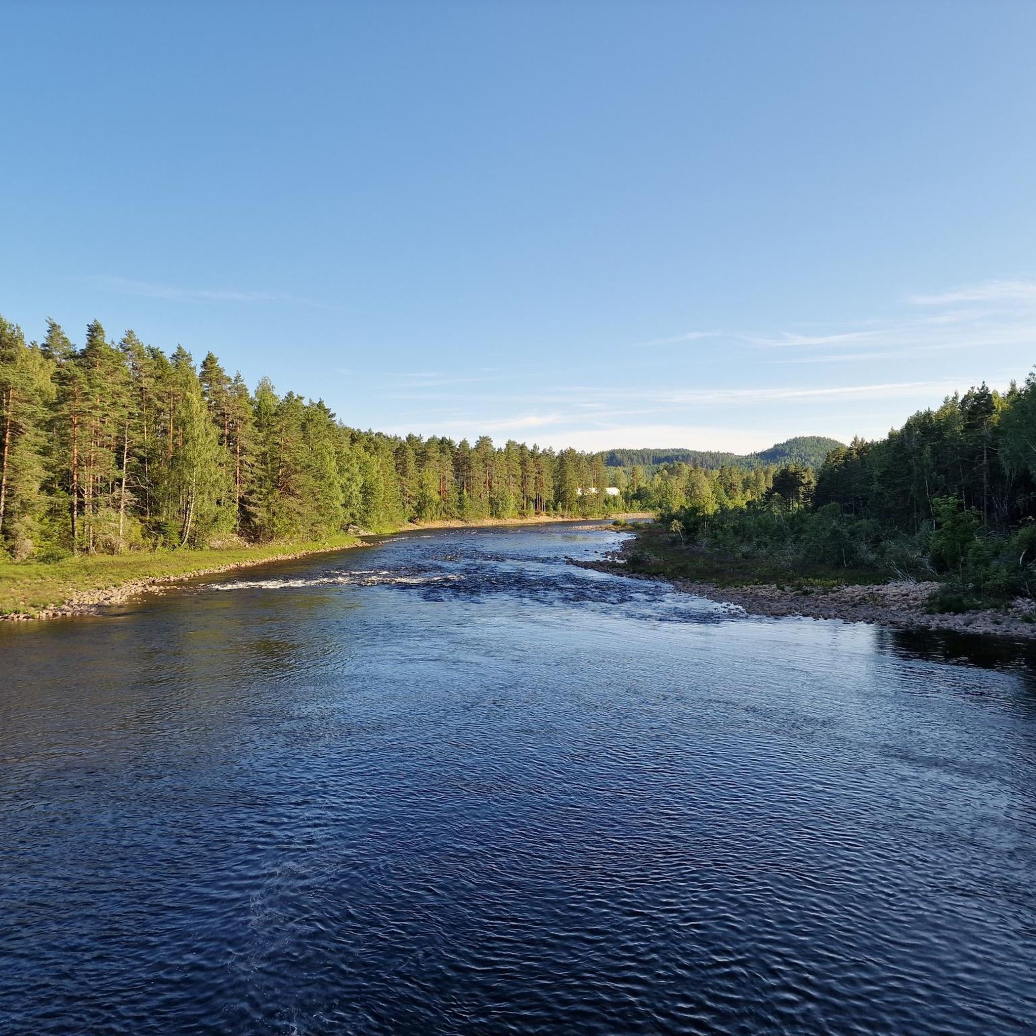
Always beautiful. The suspension bridge over the Tovdalselva River is always a highlight. Depending on the water level, the adrenaline rush increases.
0
0
Galtetjønn, beautiful little lake with a bench and a view of the lake. Included with water lilies and pond mummies.
0
0
Frequently Asked Questions
How many hiking trails are available around Steinsvannet?
There are nearly 20 hiking trails around Steinsvannet, offering a variety of experiences. The majority of these, about 14, are rated as easy, making the area accessible for many different skill levels.
Are there any easy or family-friendly hikes in the Steinsvannet area?
Yes, Steinsvannet is well-suited for easy and family-friendly hikes, with 14 out of 19 routes rated as easy. A good option is the Einarfjell loop from Stømne, which is an easy 4.1 km path that takes about 1 hour 14 minutes to complete.
Are dogs allowed on the hiking trails around Steinsvannet?
Generally, dogs are welcome on trails around Steinsvannet, but it's always recommended to keep them on a leash, especially in nature reserves or during nesting seasons. Always check local signage for specific rules regarding pets on individual trails.
Are there any circular hiking routes around Steinsvannet?
Many of the trails around Steinsvannet are circular, offering convenient loop options. For example, the Einarfjell loop from Nordli is an easy 5.8 km route that takes approximately 1 hour 40 minutes, providing scenic views of the local landscape.
Can I find hikes that feature waterfalls in the Steinsvannet region?
Yes, you can find trails that include waterfalls. The Galtetjønn – Flakkefossen Waterfall loop from Birkeland is an easy 5.5 km route that takes about 1 hour 37 minutes and features the Flakkefossen Waterfall.
What is the best time of year to go hiking in Steinsvannet?
The best time for hiking in Steinsvannet is typically from spring through autumn (May to October) when the weather is milder and trails are clear. During these months, you can fully enjoy the freshwater lakes and forested paths.
What are the winter hiking conditions like around Steinsvannet?
Winter hiking in Steinsvannet can be beautiful, but conditions vary. Trails may be covered in snow or ice, especially at higher elevations or in shaded areas. Proper winter gear, including waterproof boots and traction devices, is advisable. Some trails might be less accessible.
Are there any viewpoints or scenic spots along the hiking trails?
The region's rolling hills and forested areas often provide natural viewpoints. For instance, the Rislåknuten Summit – Knutelia loop from Rislåknuten naturreservat includes a summit that offers panoramic views of the surrounding landscape.
What do other hikers enjoy most about hiking in Steinsvannet?
The area is highly rated by the komoot community, with an average score of 4.3 stars from over 100 reviews. Hikers often praise the diverse landscape, including freshwater lakes and forested paths, as well as the well-maintained network of trails suitable for various abilities.
Are there any moderate difficulty hikes available?
Yes, while most trails are easy, there are some moderate options for those looking for a bit more challenge. The Hiking loop from Birkeland is a moderate 8.8 km trail that typically takes around 2 hours 33 minutes to complete, leading through varied terrain.
What kind of terrain can I expect on the trails?
The terrain around Steinsvannet is characterized by freshwater lakes, forested areas, and rolling hills. You can expect a mix of gentle ascents and more level sections, with paths often leading through nature reserves.
Most popular routes around Steinsvannet

Get inspired with the komoot mobile app


Explore more
Browse the best Hikes in other regions.
