The best mountain hikes around Lovatnet
4.8
(7)
35
hikers
4
hikes
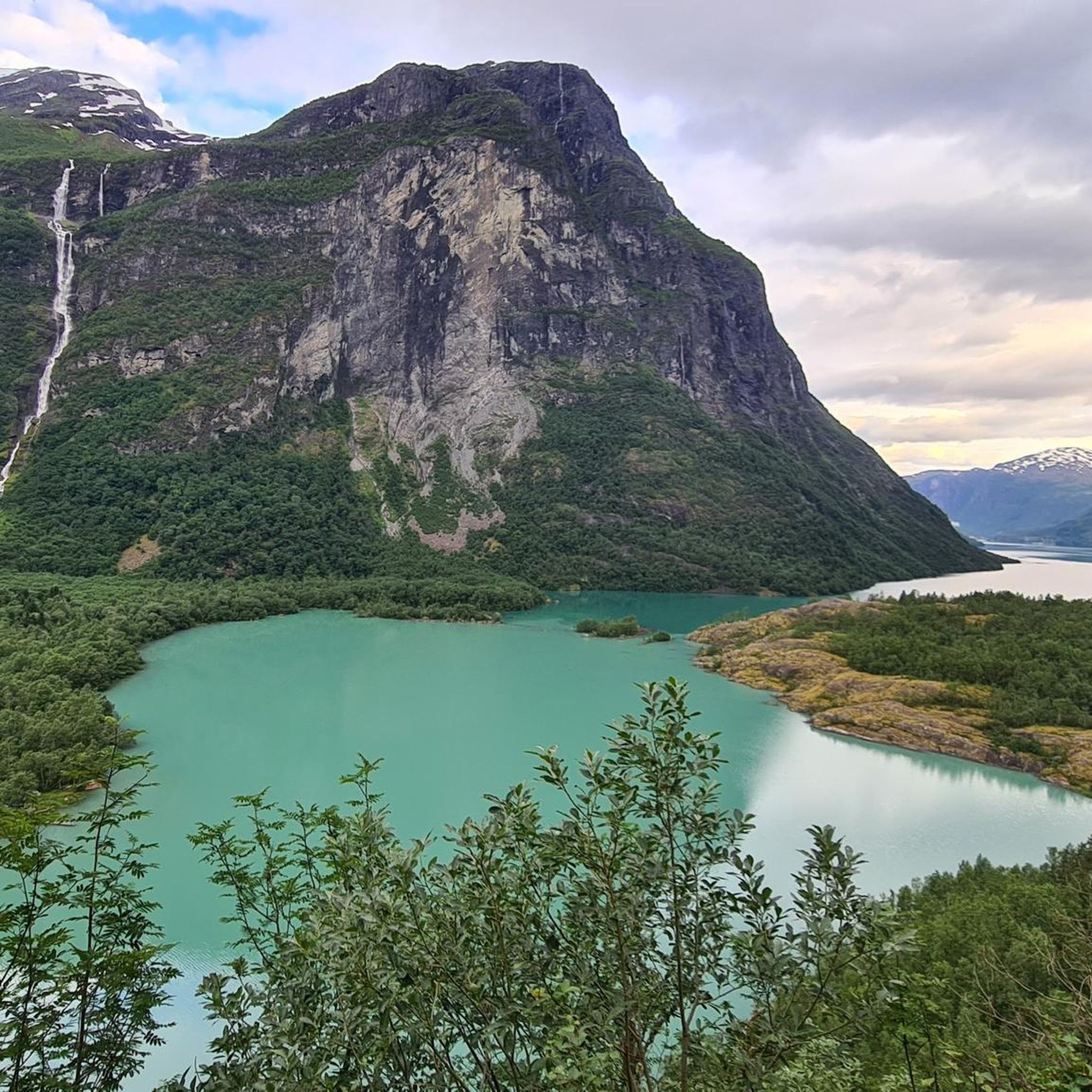
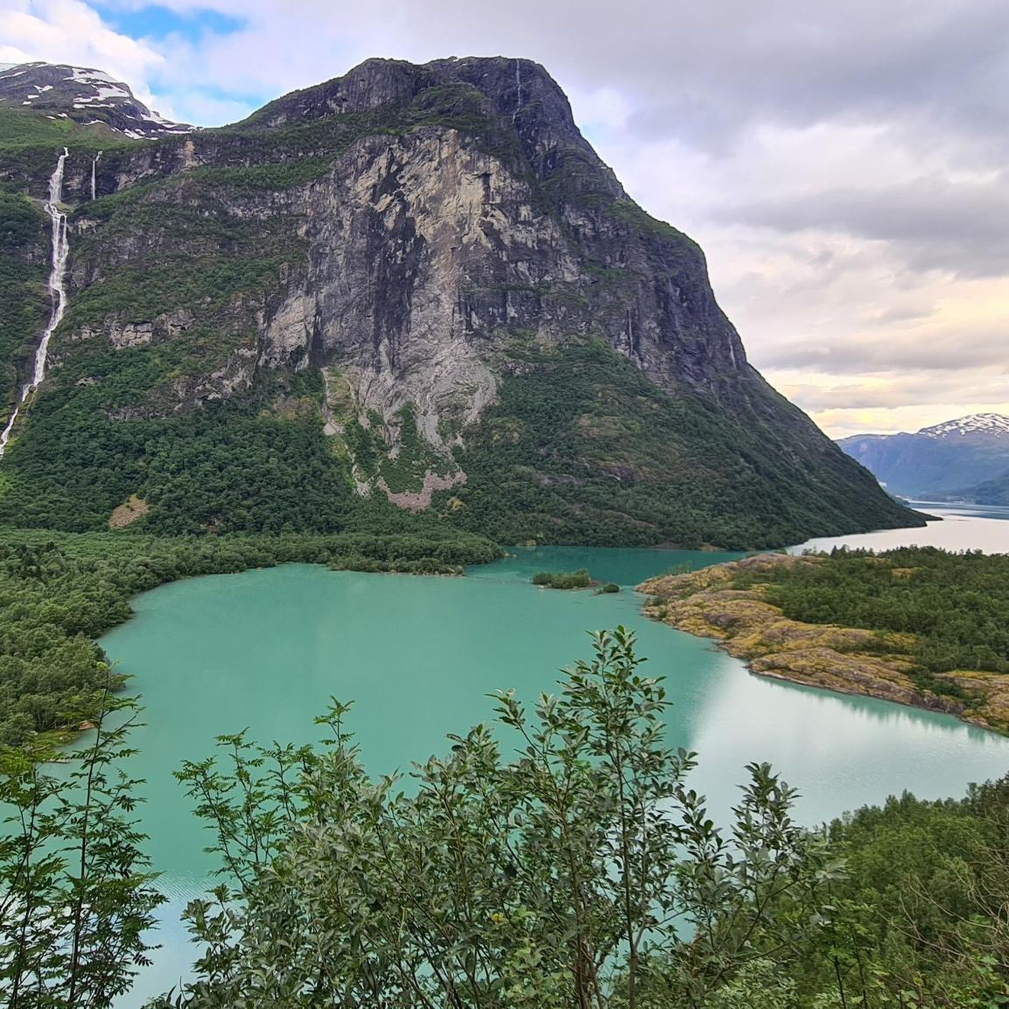
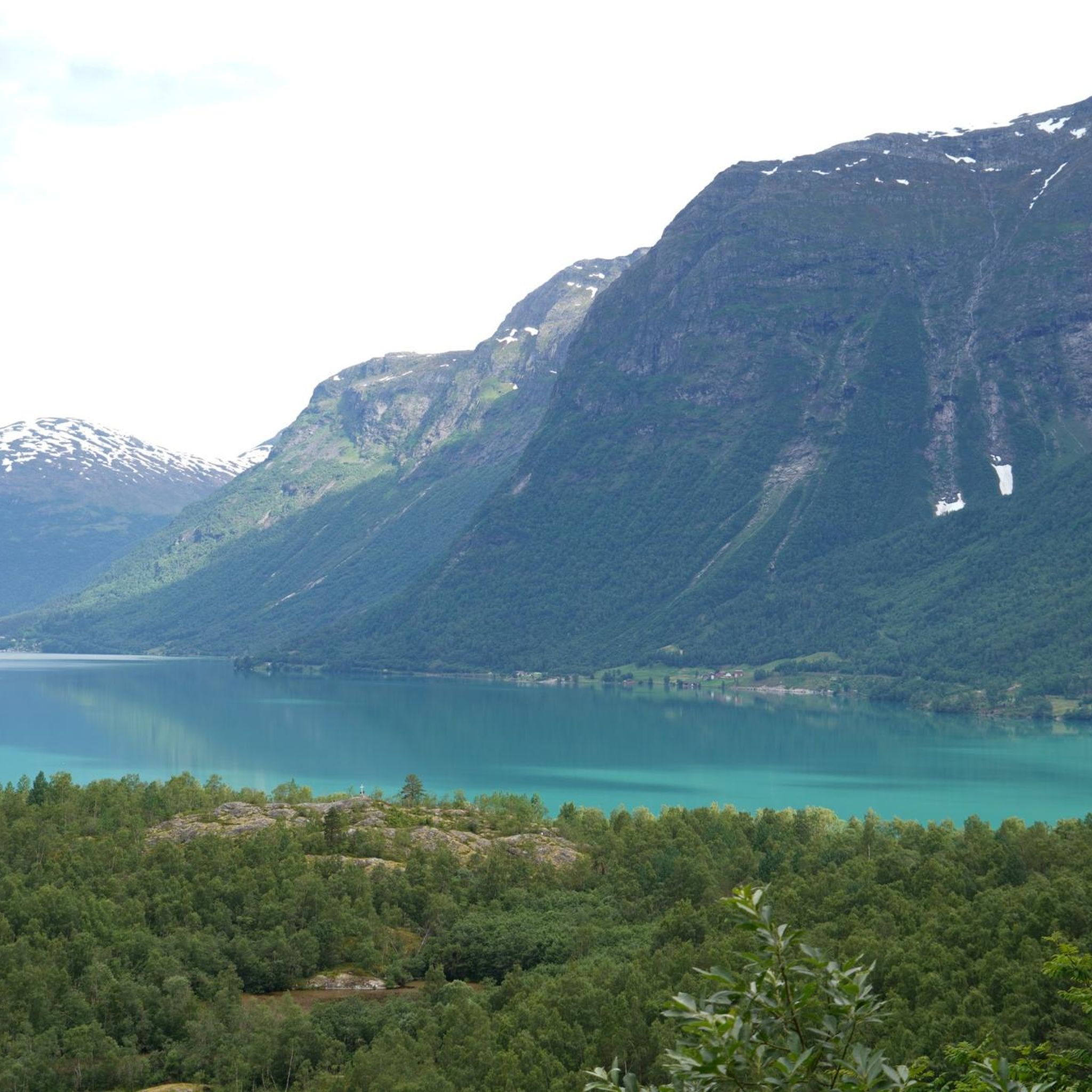
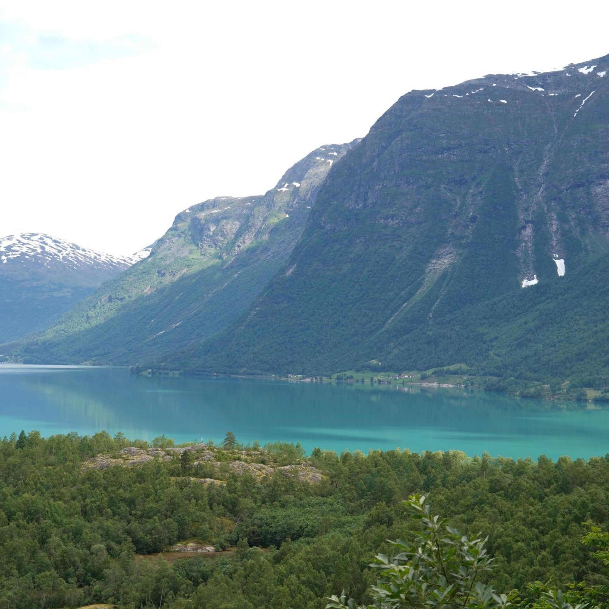
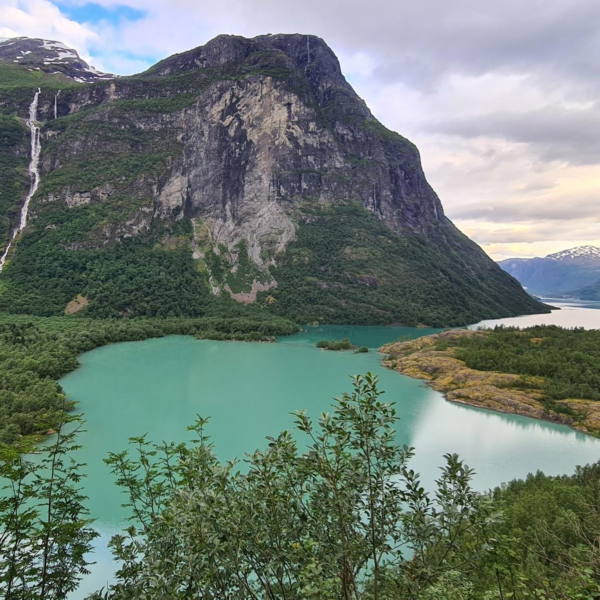
Mountaineering around Lovatnet is characterized by dramatic glacial landscapes and towering peaks surrounding a distinctive turquoise lake. The region features significant elevation changes, with routes ascending steep mountain slopes and offering views of glaciers like Jostedalsbreen and Tindefjellbreen. This area provides a diverse range of trails, from moderate ascents to challenging climbs, set against a backdrop of serene waters and cascading waterfalls.
Best mountaineering routes around Lovatnet
- The most popular mountaineering route is Start of Via Ferrata Loen – Suspension…
Last updated: August 20, 2026
5.0
(1)
15
hikers
13.4km
07:18
1,010m
1,010m
Hard mountaineering route. Very good fitness required. Sure-footedness, sturdy shoes and alpine experience required.
8
hikers
4.88km
02:09
450m
440m
Moderate mountaineering route. Good fitness required. Easily-accessible paths. Suitable for all skill levels.

Sign up for free
4.7
(3)
8
hikers
11.2km
04:46
870m
870m
Hard mountaineering route. Good fitness required. Sure-footedness, sturdy shoes and alpine experience required.
Our route recommendations are based on thousands of hikes, rides, and runs completed by other people on komoot.
Start today with a free account
Your next adventure awaits.
Login or Signup
Tips from the Community

In Odin's footsteps On his horse Sleipnir - the glider - Odin set out on extensive journeys through the worlds of gods, humans and other sinister figures. According to a Norwegian legend, the god's majestic gliding turned into a rather bumpy affair on a certain mountain. While flying over Norway's fjord landscape, the eight-legged Sleipnir crashed into this mountain and left a powerful hoof print that permanently reshaped the summit. The mountain is now called Hoven and the connection between the mountain and the Norwegian word Hov, which means hoof, is obvious.
1
0

We did the via ferrata in the off-season without a guide and set off early in the morning before the guided tours. This gave us the opportunity to walk back and forth on the suspension bridge to take part in the new attraction of the stretched ladder. On guided tours you probably have to decide which of the two attractions you want to do, otherwise it takes a very long time in a group.
0
0
During the high season, the via ferrata is closed to guided tours until the afternoon. For the way back, you are almost dependent on the gondola, because the way back goes a long way along the road without a sidewalk. Trucks driving past and blind bends make the whole thing very dangerous. When we struggled through there in the summer of 2024, there was a construction site where they are hopefully building a pedestrian/cycle path.
0
0

From here you can go on many tours across the plateau.
0
0

From here you can start beautiful hikes on the Hoven and always have a wonderful view of the fjords.
1
0

A whole range of beautiful hikes start right at the mountain station of the Loen ski lift. The paths are all well marked and - as far as I could see - well prepared. Exactly the way I do NOT like it. Here and there, one or the other boulder to be overcome would have been good for the path, but the paths are at least well suited for inexperienced hikers. That's not to say you should come in flip flops and shorts. The trails are high, steep, wet depending on the weather and windy. Informing about the conditions on the mountain before the ascent is a must. Would be stupid if you pay the steep lift prices (2022: adults 500 NOK return) just to be stuck in a cloud.
1
1

Gjølmunnebrua - 120 meter long steel cable suspension bridge.
0
0

Getting on the train is a great experience, it's almost vertical! There is down price with about 500NOK but no bargain, as running is a great alternative 😉
1
0
Frequently Asked Questions
How many mountaineering routes are available around Lovatnet?
There are several mountaineering routes around Lovatnet, offering diverse experiences. Our guide features 4 distinct routes, ranging from moderate to difficult, allowing you to explore the dramatic glacial landscapes and towering peaks of the region.
What kind of terrain can I expect on mountaineering routes in Lovatnet?
Mountaineering routes around Lovatnet feature a captivating blend of terrain. You'll encounter steep mountain slopes, sometimes unpaved sections, and established mountain hiking trails. The landscape is defined by its dramatic glacial features, with views of turquoise lakes and cascading waterfalls. Some paths may also include sections of roads.
Are there any easy or moderate mountaineering routes suitable for those with less experience?
Yes, while many routes are challenging, there are options for those seeking a more moderate experience. For example, the Mountaineering loop from Hoven is a moderate 4.9 km path that offers expansive vistas over Lovatnet and the glacial landscape, accessible from Mount Hoven.
What are some of the key natural features or landmarks I can see along the mountaineering routes?
The Lovatnet area is rich in natural beauty. Along your routes, you can expect stunning views of the turquoise Lovatnet lake itself, dramatic mountain scenery, and glimpses of glaciers like Jostedalsbreen and Tindefjellbreen. You might also encounter the impressive Kjenndalsbreen Glacier, or enjoy panoramic views from various points, such as the View of Lovatnet and the surrounding mountains highlight.
Are there any circular mountaineering routes in the Lovatnet area?
Yes, there are several circular options for mountaineering around Lovatnet. For instance, the Start of Via Ferrata Loen – Suspension Bridge loop from Loen kyrkje is a challenging 13.1 km loop that provides sustained climbs and panoramic views. Another option is the Skredfjellet – Hoven loop from Oppheim, an 11.0 km trail through varied mountain terrain.
What is the best time of year for mountaineering around Lovatnet?
The best time for mountaineering around Lovatnet is typically during the warmer months, from late spring to early autumn (June to September). During this period, trails are generally free of snow, and the weather is more stable, offering optimal conditions for exploring the high mountain terrain and enjoying the stunning views.
What do other mountaineers enjoy most about the routes in Lovatnet?
The mountaineering routes in Lovatnet are highly rated by the komoot community, with an average score of 4.7 stars from several reviews. Reviewers often praise the dramatic glacial landscapes, the towering peaks, and the distinctive turquoise lake, highlighting the significant elevation changes and the diverse range of trails available.
Are there any regulations or permits required for mountaineering in Lovatnet?
Generally, there are no specific permits required for hiking on established trails in the Lovatnet area. However, as the region borders Jostedalsbreen National Park, it's always advisable to respect local regulations, stay on marked paths, and practice Leave No Trace principles to preserve the pristine natural environment.
Are there any facilities or picnic areas available along the routes?
While many routes are in wilder terrain, you can find some facilities. For example, there is a designated Picnic Area at Lovatnet, which can be a good spot to rest and enjoy the scenery. Always carry enough water and supplies, as facilities may be sparse on the trails themselves.
How can I reach the trailheads for mountaineering routes around Lovatnet using public transport?
While direct public transport to all remote trailheads can be limited, the Loen Skylift offers convenient access to Mount Hoven, which serves as a starting point for routes like the Mountaineering loop from Hoven. For other trailheads, you might need to combine public transport with local taxi services or personal vehicles, as options can vary depending on the specific starting point.
Are there any less crowded mountaineering options around Lovatnet?
Lovatnet generally offers fewer crowds compared to some other popular Norwegian destinations, enhancing its appeal for those seeking tranquility. To find less crowded options, consider exploring routes slightly off the most well-known paths or visiting during shoulder seasons (late spring or early autumn) when the weather is still good but tourist numbers are lower.
Most popular routes around Lovatnet
Most popular attractions around Lovatnet

Get inspired with the komoot mobile app


Explore more
Browse the best Mountain Hikes & Routes in other regions.
