The best cycling routes around Vålvatnet
4.4
(17)
166
riders
2
rides
Touring cycling routes around Vålvatnet offer challenging paths through varied Norwegian landscapes. The region, while not extensively detailed in specific geographical features for Vålvatnet itself, is part of Norway's diverse terrain, which typically includes mountains, valleys, and bodies of water. Touring cyclists can expect routes with significant elevation gains, indicating a hilly or mountainous environment. The trails are generally suited for those seeking a more demanding cycling experience.
Best touring cycling routes around Vålvatnet
- The most popular touring cycling route…
Last updated: October 15, 2026
5.0
(1)
4
riders
30.9km
02:06
550m
550m
Hard bike ride. Very good fitness required. Mostly paved surfaces. Suitable for all skill levels.
1
riders
47.7km
03:08
680m
680m
Hard bike ride. Very good fitness required. Mostly paved surfaces. Suitable for all skill levels.

4.0
(13)
149
riders
29.7km
01:58
370m
370m
Moderate bike ride. Good fitness required. Mostly paved surfaces. Suitable for all skill levels.
3
riders
21.7km
01:51
500m
500m
Hard bike ride. Very good fitness required. Mostly paved surfaces. Suitable for all skill levels.
5.0
(1)
4
riders
29.8km
02:19
600m
600m
Hard bike ride. Very good fitness required. Mostly paved surfaces. Suitable for all skill levels.
Our route recommendations are based on thousands of hikes, rides, and runs completed by other people on komoot.

Tips from the Community


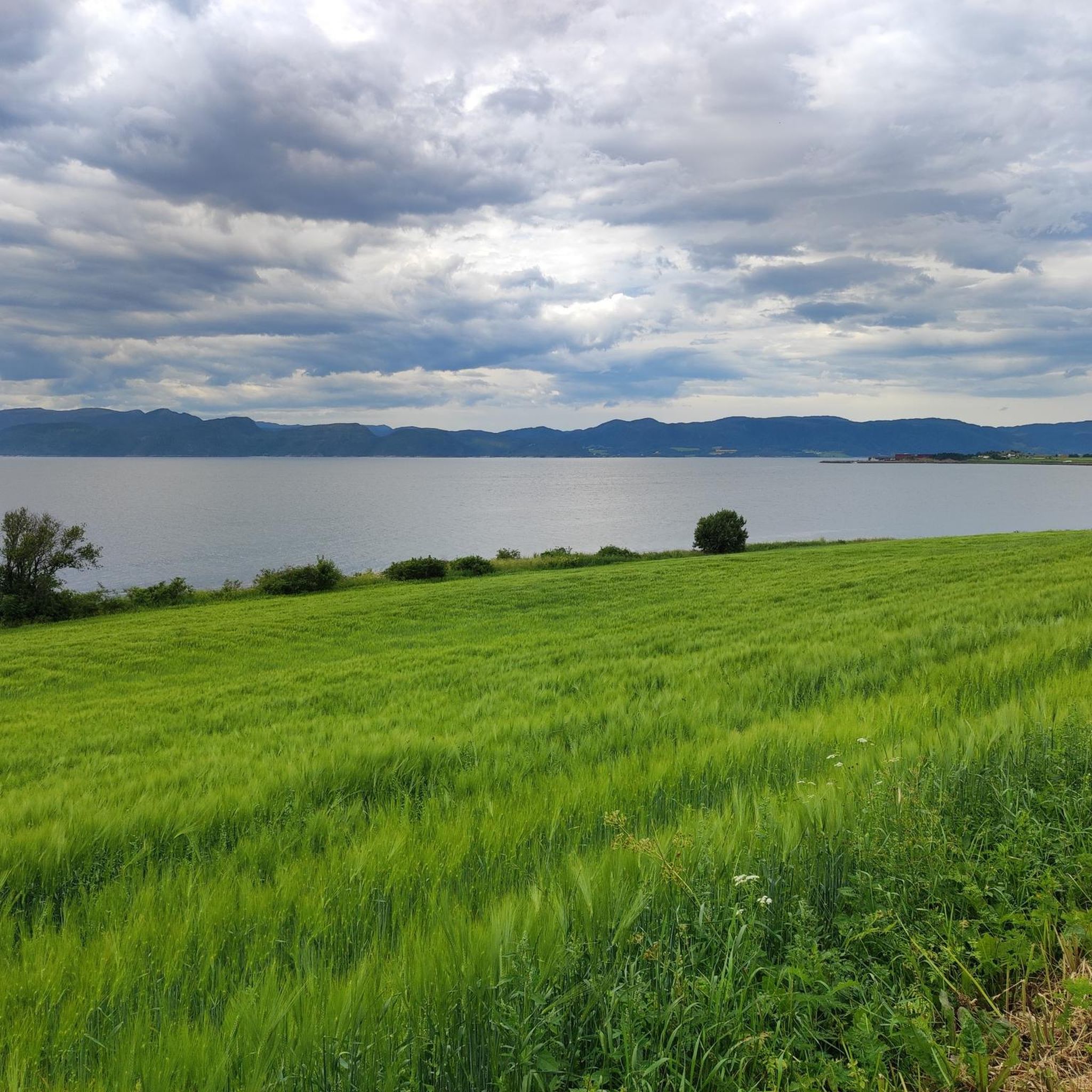
Grea views of Trondheimsfjorden from the well-paved road. It's pretty flat so with a good wind you can pick up some decent speed between Flakk and Rye.
1
0

You will barely know where to look: each part of your view from the bike saddle is stunning here.
1
0

Here is a video of the complete building view: https://maps.app.goo.gl/oWVtiKtsCQjHVP6o7
1
0

There is a ferry dock in Flakk from where you can get to the other side of the fjord. The campsite is right next to it. It is very stripped down to the essentials, but that's OK. Showers are included in the price and the sanitary facilities are simple but decent. The kitchen is in a kind of open winter garden and also offers seating.
0
0

Frequently Asked Questions
What is the general difficulty level of touring cycling routes around Vålvatnet?
Touring cycling routes around Vålvatnet are primarily designed for experienced cyclists, featuring significant elevation gains and challenging terrain. Both routes currently listed on komoot are rated as difficult, indicating a demanding cycling experience.
What kind of terrain can I expect on touring cycling routes in the Vålvatnet area?
The Vålvatnet area, typical of Norway's inland regions, offers varied and often demanding terrain. Cyclists can expect routes with substantial elevation changes, indicating a hilly or mountainous environment. While specific details for Vålvatnet are limited, Norway's cycling routes generally traverse diverse landscapes including mountains, valleys, and bodies of water.
Are there any circular touring cycling routes around Vålvatnet?
Yes, both of the touring cycling routes currently available on komoot around Vålvatnet are circular. You can explore the Vikalian – Litjfaglia loop from Rørvikbekken mikrokraftverk, which is 19.6 miles (31.6 km) long, or the longer Litlloppskardet – Vassåsen loop from Sagdammen, spanning 29.6 miles (47.7 km).
What are the elevation gains like on touring cycling routes near Vålvatnet?
The touring cycling routes around Vålvatnet feature significant elevation gains, characteristic of Norway's challenging landscapes. For example, the Vikalian – Litjfaglia loop includes an elevation gain of 1,841 feet (561 meters), while the Litlloppskardet – Vassåsen loop has a substantial gain of 2,242 feet (683 meters).
What do other touring cyclists say about the routes in Vålvatnet?
The touring cycling routes in Vålvatnet are highly regarded by the komoot community, holding an average rating of 4.4 stars from over 16 reviews. More than 145 touring cyclists have used komoot to explore the varied and challenging terrain of the Vålvatnet area.
Are there any specific landmarks or viewpoints along the Vålvatnet touring cycling routes?
While specific landmarks directly on the Vålvatnet routes are not detailed, the region is part of Norway's stunning natural landscape. Touring cyclists can expect views of typical Norwegian scenery, which often includes mountains, valleys, and bodies of water. For broader inspiration on Norway's natural attractions, you can visit Visit Norway's nature attractions page.
What is the best time of year for touring cycling in the Vålvatnet region?
Given Vålvatnet's location in Norway, the best time for touring cycling is typically during the warmer months, from late spring through early autumn (roughly May to September). During this period, the weather is generally more favorable, and trails are free of snow, offering the most accessible and enjoyable conditions for cycling in mountainous and inland regions.
Are there options for family-friendly touring cycling near Vålvatnet?
The touring cycling routes directly around Vålvatnet are currently rated as difficult, suggesting they are more suited for experienced cyclists rather than families with young children or those seeking very easy rides. Norway does offer a wide range of cycling routes for various fitness levels, including national cycle routes that have segments suitable for all, but the Vålvatnet specific routes are challenging.
Can I bring my dog on touring cycling routes in Vålvatnet?
While specific regulations for dogs on Vålvatnet's touring cycling routes are not provided, general rules for outdoor activities in Norway often permit dogs, especially on trails. However, dogs should typically be kept on a leash, particularly in national parks, protected areas, and during certain times of the year to protect wildlife. Always check local signage or specific trail rules before heading out with your dog.
What are the typical starting points for touring cycling routes around Vålvatnet?
The two main touring cycling routes around Vålvatnet start from specific locations. The Vikalian – Litjfaglia loop begins from Rørvikbekken mikrokraftverk, while the Litlloppskardet – Vassåsen loop starts from Sagdammen. These serve as convenient access points for cyclists.
Is public transport available to reach the Vålvatnet cycling routes?
Specific public transport options directly to the starting points of Vålvatnet's cycling routes are not detailed. In more remote Norwegian regions, public transport can be limited. It is advisable to plan your journey in advance and consider that a car might be necessary to reach these trailheads. For general information on travel in Norway, you might consult broader travel resources.
Are there any cafes or restaurants along the touring cycling routes in Vålvatnet?
Information regarding specific cafes or restaurants directly along the touring cycling routes in Vålvatnet is not available. Given that Vålvatnet appears to be a lesser-known or more remote location, it is recommended to carry sufficient food and water for your ride. Planning for provisions before starting your tour is a good practice in such areas.
Most popular routes around Vålvatnet

Get inspired with the komoot mobile app


Explore more
Browse the best Cycling routes in other regions.
