The best walks and hikes around Strondafjorden
4.3
(281)
1,230
hikers
56
hikes
Hiking around Strondafjorden offers diverse natural landscapes, from tranquil fjord views to rugged mountain terrain. The region features lush valleys in the south, transitioning to more mountainous areas towards the north, with proximity to the Jotunheimen range. Notable natural features include the Strondafjorden itself, several waterfalls like Neselve and Kvitvella, and varied forests. The trails provide a mix of lakeside paths and ascents through wooded areas.
Best hiking trails around Strondafjorden
- The most popular hiking route is Kviteberg and Neselve…
Last updated: October 13, 2026
4.4
(48)
174
hikers
4.64km
01:42
230m
230m
Moderate hike. Great for any fitness level. Mostly accessible paths. Sure-footedness required.
4.5
(51)
198
hikers
Moderate hike. Good fitness required. Mostly accessible paths. Sure-footedness required.

3.9
(10)
34
hikers
Easy hike. Great for any fitness level. Easily-accessible paths. Suitable for all skill levels.
4.1
(8)
34
hikers
4.14km
01:50
360m
360m
Moderate hike. Good fitness required. Mostly accessible paths. Sure-footedness required.
5.0
(2)
25
hikers
4.01km
01:35
230m
230m
Moderate hike. Great for any fitness level. Mostly accessible paths. Sure-footedness required.
Get access to more routes and recommendations from other explorers.
Already have an account?
Our route recommendations are based on thousands of hikes, rides, and runs completed by other people on komoot.
Start today with a free account
Your next adventure awaits.
Tips from the Community

It's a help for many
0
0
On our visit rather a small waterfall
0
0
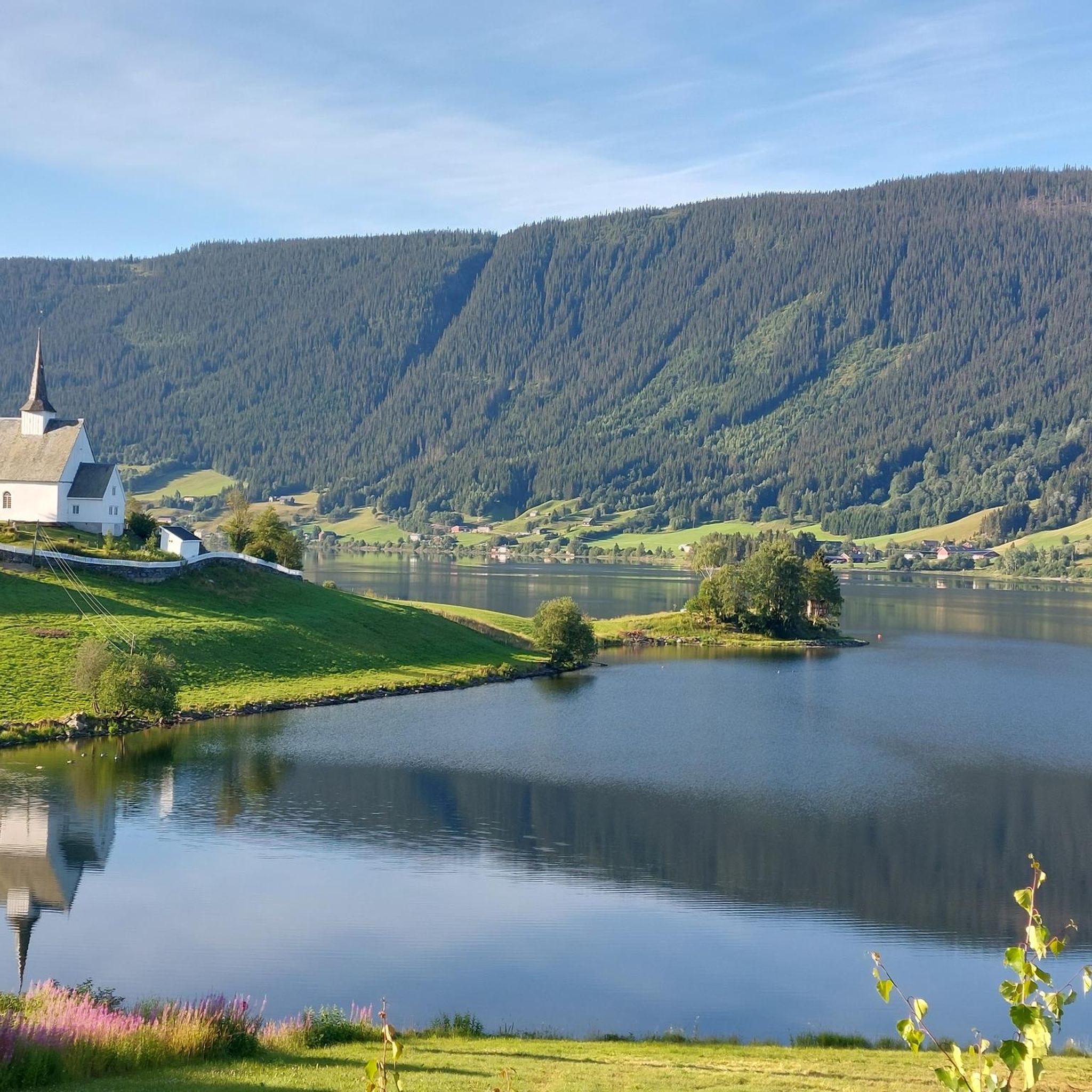
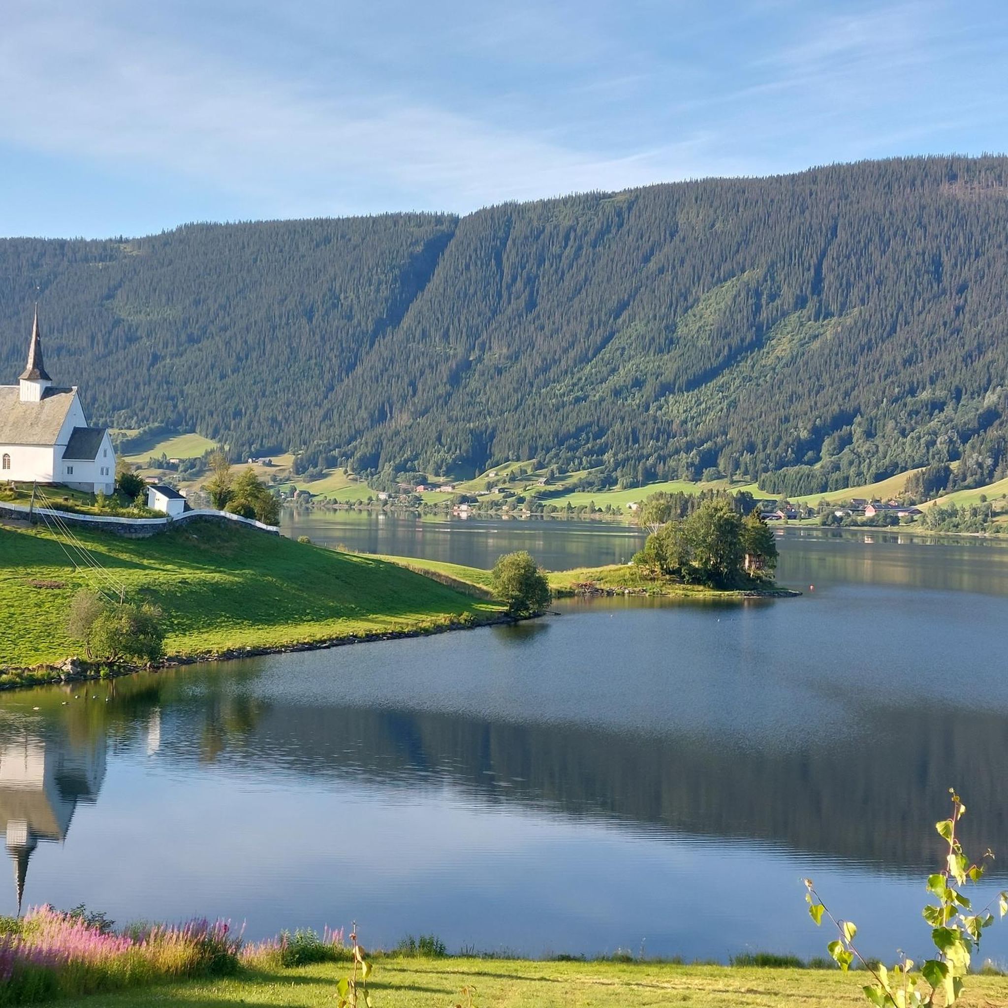
Beautiful view of Fargenes, the lake and the museum peninsula
0
0
When we were there, rather a small waterfall
0
0
Beautiful view from up here
0
0

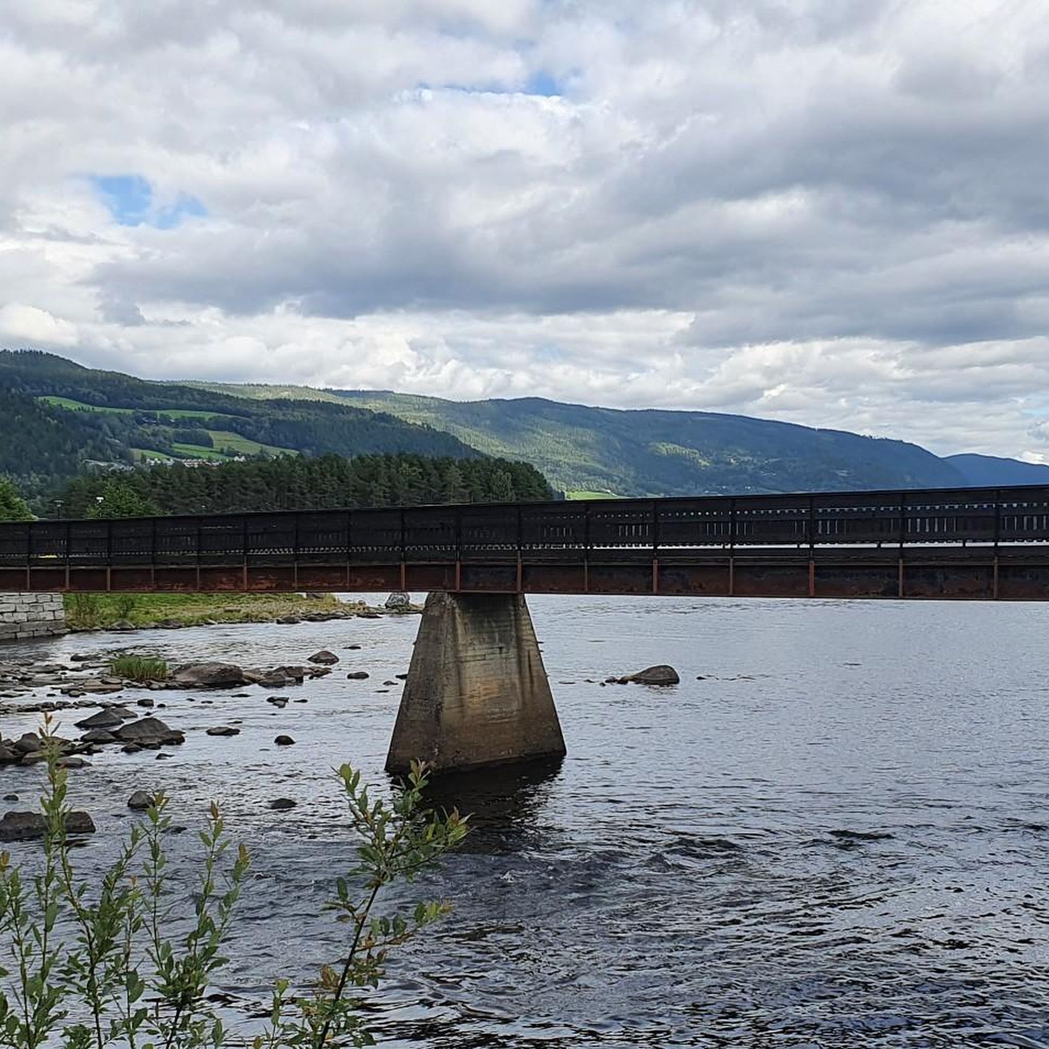
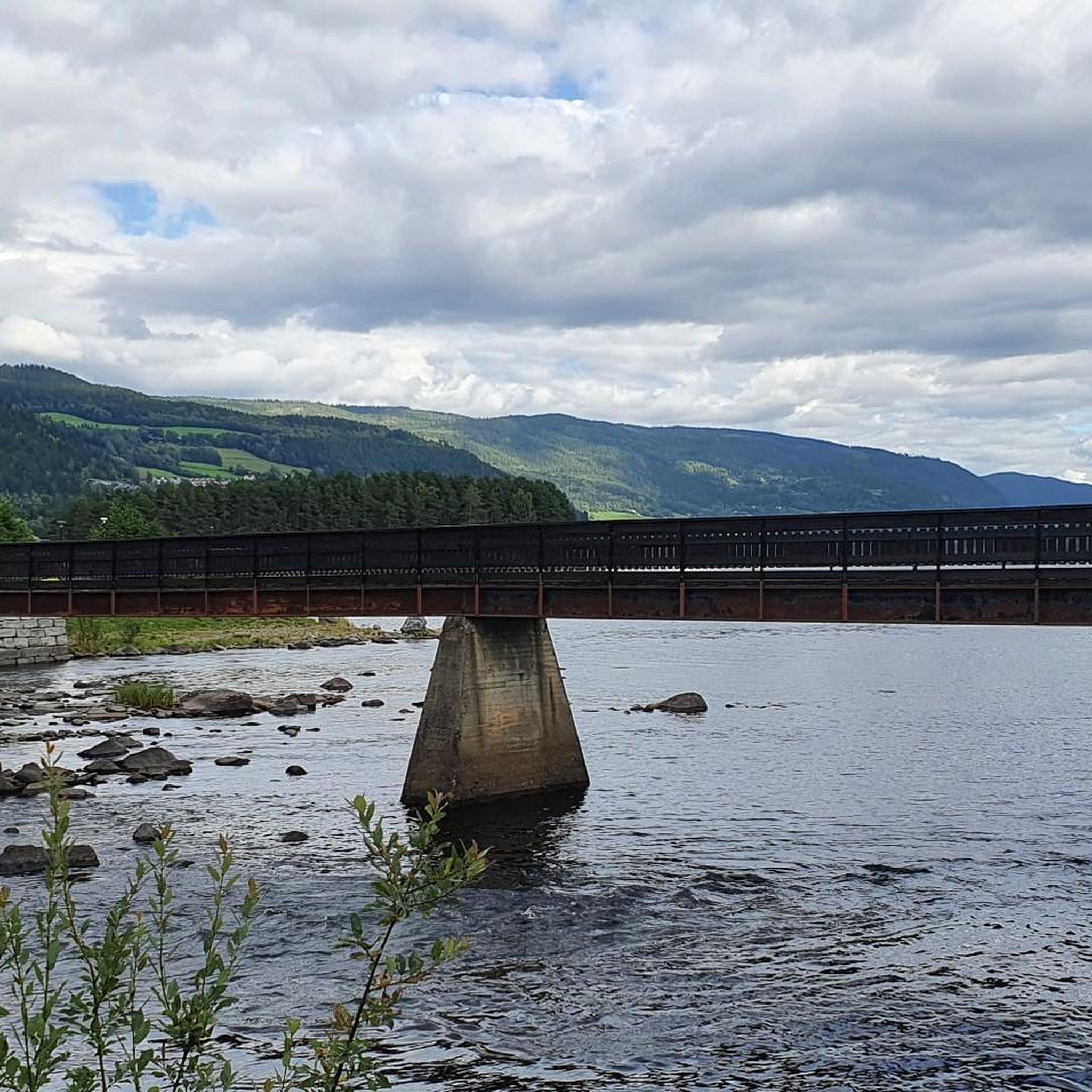
The waterfall is located below a hydroelectric power station and a small part of the water masses shoot out of the associated pipe. The best view is from the bridge.
1
0
This bridge offers the best view of the waterfall.
0
0

Water level marks to illustrate the land uplift of Scandinavia
3
0
Frequently Asked Questions
How many hiking trails are available around Strondafjorden?
There are over 50 marked hiking trails around Strondafjorden, catering to various skill levels. You'll find a good mix, with 24 easy routes, 32 moderate, and a few more challenging options.
What kind of terrain can I expect on hikes around Strondafjorden?
The terrain around Strondafjorden is quite varied. You can expect serene fjord views, lush valleys in the south, and more rugged mountain landscapes towards the north, closer to the Jotunheimen range. Trails often involve steep ascents through forests, as well as more gentle lakeside paths.
Are there any hikes that feature waterfalls in Strondafjorden?
Yes, the region is known for its beautiful waterfalls. The Neselve Waterfall is a popular highlight, with several routes leading to it. For example, the Kviteberg and Neselve Waterfall route offers views of this natural feature. Further upstream on the Neselva river, you can also find the Kvitvella waterfall.
Are there family-friendly hiking options around Strondafjorden?
Absolutely. Strondafjorden offers many easily accessible paths and gentle valley walks suitable for families. There are 24 easy routes available, perfect for those looking for a less strenuous outing with children.
Can I bring my dog on the hiking trails in Strondafjorden?
Generally, dogs are welcome on hiking trails in Norway, including around Strondafjorden. However, it's crucial to keep them on a leash, especially during the nesting season for birds (April 1 to August 20) and in areas with grazing livestock. Always clean up after your dog.
Are there circular hiking routes available in Strondafjorden?
Yes, many of the trails around Strondafjorden are designed as loops, allowing you to start and end at the same point. Examples include the Neselve Waterfall loop from Valdres folkemuseum and the Steep Ascent Through Forest – Kjelda Well loop from Valdres folkemuseum.
What cultural or historical landmarks can I explore while hiking in the area?
The Valdres Folk Museum, located near Strondafjorden, serves as a starting point for several hikes and offers a cultural experience. You can also explore sections of the historical King's Road (Kongevegen) between Fagernes and Leira, which runs along the hillside beneath "Flaggberget".
What are the options for parking when hiking around Strondafjorden?
Parking is generally available at common trailheads and popular starting points, such as near the Valdres Folk Museum. Specific parking details can often be found on individual route descriptions on komoot or local signage at the start of trails.
What do other hikers say about the trails in Strondafjorden?
The trails in Strondafjorden are highly rated by the komoot community, with an average score of 4.4 stars from over 200 reviews. Hikers often praise the serene fjord views, accessible waterfalls, and the varied mountain and forest terrain that offers options for different ability levels.
When is the best time of year to hike around Strondafjorden?
The best time for hiking around Strondafjorden is typically from late spring to early autumn (May to September), when the weather is milder, and trails are clear of snow. During this period, you'll experience lush greenery and comfortable temperatures for outdoor activities.
Are there any less crowded hiking trails in Strondafjorden?
While popular spots like the Neselve Waterfall can attract visitors, the region has over 50 trails, offering opportunities to find quieter paths. Exploring some of the less-known forest ascents or valley walks might lead to a more secluded experience. Checking komoot for routes with fewer completed tours can also help identify less crowded options.
Are there any longer, more challenging hikes available for experienced hikers?
While many routes are easy to moderate, the region's proximity to the Jotunheimen mountain range to the north means more demanding mountain hikes are accessible within a reasonable distance. Within Strondafjorden itself, routes like the Neselve Waterfall loop from Valdres folkemuseum offer significant elevation gain, providing a good workout.
Most popular routes around Strondafjorden

Get inspired with the komoot mobile app


Explore more
Browse the best Hikes in other regions.
