The best running trails in Jefferson County
131
runners
17
runs
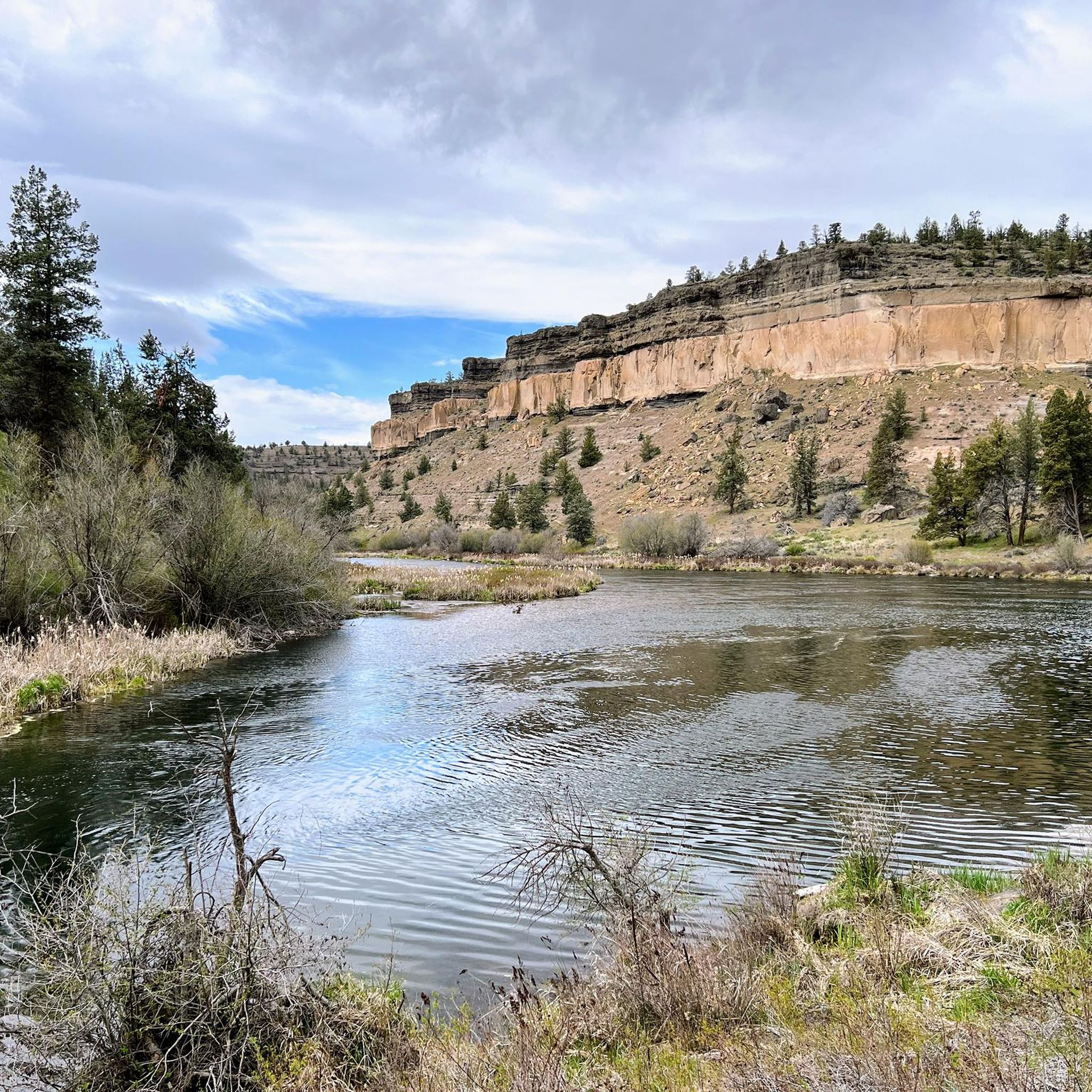
Jogging in Jefferson County offers a diverse range of routes across varied landscapes. The region is characterized by an extensive network of trails, encompassing rolling hills, dense forests, and scenic river valleys. Runners can explore paths that wind through dramatic canyons, open meadows, and along tranquil waterways. This varied terrain provides options for different preferences and fitness levels.
Best jogging routes in Jefferson County
- The most popular jogging route is Suttle Lake Loop Trail, a 3.6 miles (5.8 km)…
Last updated: May 27, 2026
33
runners
5.81km
00:42
40m
40m
Moderate run. Good fitness required. Mostly paved surfaces. Suitable for all skill levels.
15
runners
6.32km
01:05
470m
470m
Hard run. Very good fitness required. Mostly paved surfaces. Suitable for all skill levels.

4
runners
10.7km
01:32
390m
390m
Hard run. Very good fitness required. Sure-footedness, sturdy shoes and alpine experience required.
3
runners
7.80km
00:57
70m
70m
Moderate run. Good fitness required. Mostly paved surfaces. Suitable for all skill levels.
1
runners
10.3km
01:18
150m
150m
Moderate run. Good fitness required. Mostly paved surfaces. Suitable for all skill levels.
1
runners
15.4km
02:12
320m
320m
Hard run. Very good fitness required. Sure-footedness, sturdy shoes and alpine experience required.
1
runners
10.2km
01:30
420m
420m
Hard run. Very good fitness required. Sure-footedness, sturdy shoes and alpine experience required.
9.20km
01:12
190m
190m
Moderate run. Good fitness required. Mostly paved surfaces. Suitable for all skill levels.
10.8km
01:40
540m
540m
Hard run. Very good fitness required. Mostly accessible paths. Some sure footedness required.
11.7km
01:28
190m
190m
Moderate run. Good fitness required. Mostly paved surfaces. Suitable for all skill levels.
Get access to more routes and recommendations from other explorers.
Already have an account?
Our route recommendations are based on thousands of hikes, rides, and runs completed by other people on komoot.
Start today with a free account
Your next adventure awaits.


Tips from the Community

Gray Butte is the tallest point in the Smith Rock State Park trail system. If you want great views and/or a hard workout, getting to the top of the butte is the way to do it!
0
0
The Upper Black Butte trailhead shortens the hike to the top by three miles and 2,000 feet of climbing. A restroom is available. The road is rough to this upper trailhead but is passable with careful driving.
0
0
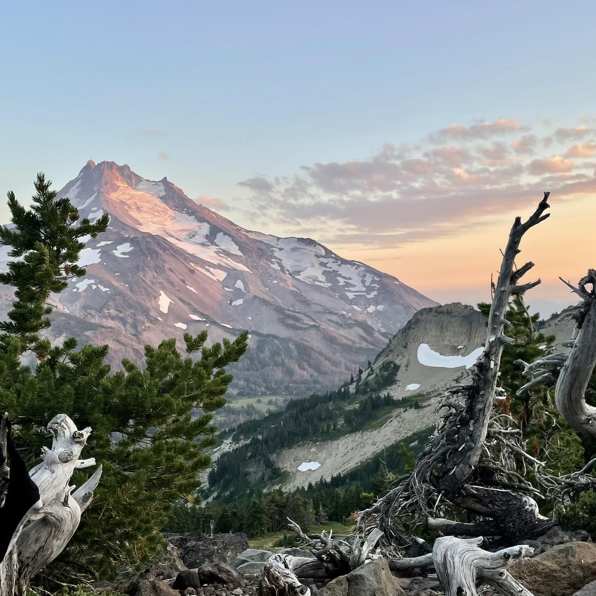
Besides being a killer uphill workout, the Black Butte summit offers incredible views to the surrounding mountains and meadows in the region. The historic lookout was built in 1923, though it was not tall enough for proper fire spotting and was supplemented with a crow's nest tower. On a clear day, you can see all the way to Mt Adams in southwest Washington.
0
0
This volcanic butte is the highest point in Smith Rock, so if you're looking for views, you'll find them up here! A great destination when you need to do some climbing training.
0
0
The long climb out to Gray Butte is a favorite for local trailrunners.
0
0

Head Lake is located just north of Olallie Lake Resort. The blue waters might invite you for a dip since there is no swimming in Olallie Lake.
2
0

In the western reaches of Ochoco National Forest, the majestic Gray Butte, rising to 5,091 feet (1.55 km), awaits. To reach its peak, follow the enchanting combination of the Cole Loop Trail and forest roads. From this summit, you're greeted with awe-inspiring views of Smith Rock State Park to the southwest.
0
0
Wander through eons of geological artistry to the oasis of Alder Springs. Here, you face a choice: cross Whychus Creek and reach its confluence with the Deschutes River. The canyon's beauty unfolds, from the parking area to each step you take.
0
0
Frequently Asked Questions
How many running routes are available in Jefferson County?
Jefferson County offers nearly 20 dedicated running routes, catering to various preferences and fitness levels. These include a mix of moderate and difficult trails, ensuring options for both casual joggers and experienced runners.
Are there easy running trails for beginners in Jefferson County?
While there are no routes specifically classified as 'easy' in our guide, many of the 8 moderate routes are suitable for beginners looking for a gentle challenge. For instance, the Suttle Lake Loop Trail is a moderate 3.6-mile path with minimal elevation gain, perfect for a scenic introduction to running in the area. Additionally, regions like Jefferson County, Colorado, offer paved paths such as the Peaks to Plains Trail in Clear Creek Canyon Park, which are very accessible.
What are some popular loop jogging trails in Jefferson County?
Many runners enjoy circular routes for their convenience. The Suttle Lake Loop Trail is a popular moderate option, offering a beautiful 3.6-mile circuit. For a more challenging loop, consider the Opal Canyon and Horny Hollow Loop, which covers 6.4 miles through a distinct canyon landscape.
Are there any running routes with scenic viewpoints or natural attractions?
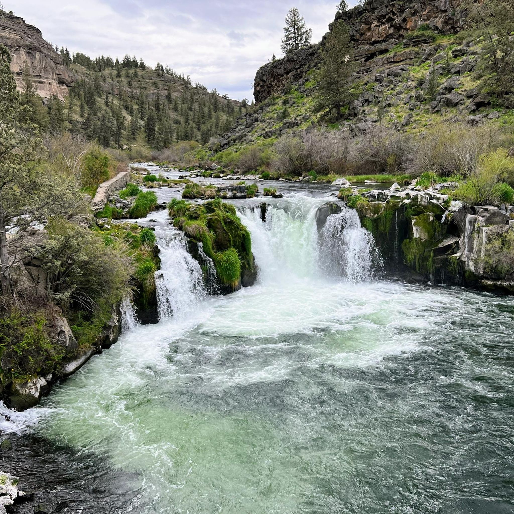
Absolutely! Jefferson County is rich in natural beauty. The Black Butte Trail ascends to offer panoramic views of the surrounding area. You can also explore routes near Suttle Lake or through Opal Canyon. Other notable attractions in the region include Gray Butte Summit and the impressive Steelhead Falls.
What do other runners enjoy most about jogging in Jefferson County?
The komoot community frequently praises the diverse landscapes and varied terrain found in Jefferson County. Runners particularly appreciate the extensive network of trails that wind through dense forests, along river valleys, and into dramatic canyons, providing constantly changing and engaging scenery for every run.
Are there any longer running routes for endurance training?
Yes, for those seeking longer distances, the Carl Lake Trail offers a challenging 9.6-mile (15.4 km) run with significant elevation gain. Another excellent option is the Pacific Crest Trail: Olallie Lake to Jude Lake, which spans over 7 miles (11.7 km).
Can I find running routes that follow rivers or lakes?
Certainly! The Suttle Lake Loop Trail offers a beautiful run directly around Suttle Lake. Additionally, the West Metolius River Trail provides a moderate 4.8-mile path alongside the scenic Metolius River, perfect for a tranquil riverside jog.
What kind of terrain can I expect on jogging trails in Jefferson County?
Jefferson County offers a wide variety of terrain. You can expect everything from well-maintained paths in parks to rougher, natural surface trails that ascend to higher elevations. The region features rolling hills, dense forests, river valleys, and even dramatic canyons, providing diverse running experiences.
Are there any challenging running routes for experienced runners?
Experienced runners will find plenty of challenging options. The Black Butte Trail is a difficult 3.9-mile path with significant elevation gain, offering a strenuous workout and rewarding views. Other difficult routes include the Canyon Creek Meadows Loop Trail and the Gray Butte Trail, both providing substantial climbs and distances.
What is the best time of year for running in Jefferson County?
The best time for running in Jefferson County largely depends on the specific region. In areas like Jefferson County, Colorado, spring and fall offer pleasant temperatures and vibrant scenery. Summer can be warm, especially at lower elevations, while winter can bring snow to higher trails. Always check local weather conditions and trail status before heading out.
Are there any running routes that are particularly good for spotting wildlife?
Many of Jefferson County's trails, especially those winding through forests and along rivers, offer opportunities for wildlife viewing. Routes like the West Metolius River Trail or trails within White Ranch Park (in Jefferson County, CO) are known for their natural settings, where you might encounter local fauna in their natural habitats.
Are there any running trails that are less frequented, offering a more secluded experience?
For a more secluded experience, consider exploring some of the less-trafficked trails. While specific 'hidden gems' are often discovered by local runners, routes like the Alder Springs Trail, a moderate 5.7-mile path, might offer a quieter run away from the most popular spots, allowing for a more peaceful connection with nature.
Most popular routes in Jefferson County
Most popular attractions in Jefferson County

Get inspired with the komoot mobile app


Didn’t find what you were looking for?
Check out more Running Trails & Routes throughout Jefferson County below and find the perfect route in your destination.
Explore more
Browse the best Running Trails & Routes in other regions.
