The best running trails around Langedalstjønna
4.7
(3)
142
runners
33
runs
Jogging around Langedalstjønna offers a variety of running routes that explore the region's diverse landscape. The area features coastal paths near marinas and camping sites, as well as riverine trails along waterways like the Nidelva River. With elevation gains typically under 200 meters, the terrain is generally rolling, providing accessible options for different fitness levels.
Best jogging routes around Langedalstjønna
- The most popular jogging route is Tingsaker Marina – Tingsaker Camping loop from Heldal, an 8.0 miles (13.0 km)…
Last updated: July 9, 2026
5
runners
13.0km
01:22
120m
120m
Moderate run. Good fitness required. Mostly paved surfaces. Suitable for all skill levels.
5
runners
10.2km
01:11
160m
160m
Moderate run. Good fitness required. Mostly paved surfaces. Suitable for all skill levels.

Sign up for free
3
runners
9.65km
01:01
110m
110m
Moderate run. Good fitness required. Mostly paved surfaces. Suitable for all skill levels.
4.0
(1)
11
runners
6.83km
00:43
70m
70m
Moderate run. Good fitness required. Mostly paved surfaces. Suitable for all skill levels.
5.0
(1)
10
runners
7.58km
00:52
80m
80m
Moderate run. Good fitness required. Mostly paved surfaces. Suitable for all skill levels.
Get access to more routes and recommendations from other explorers.
Sign up for free
Already have an account?
Our route recommendations are based on thousands of hikes, rides, and runs completed by other people on komoot.
Start today with a free account
Your next adventure awaits.
Login or Signup
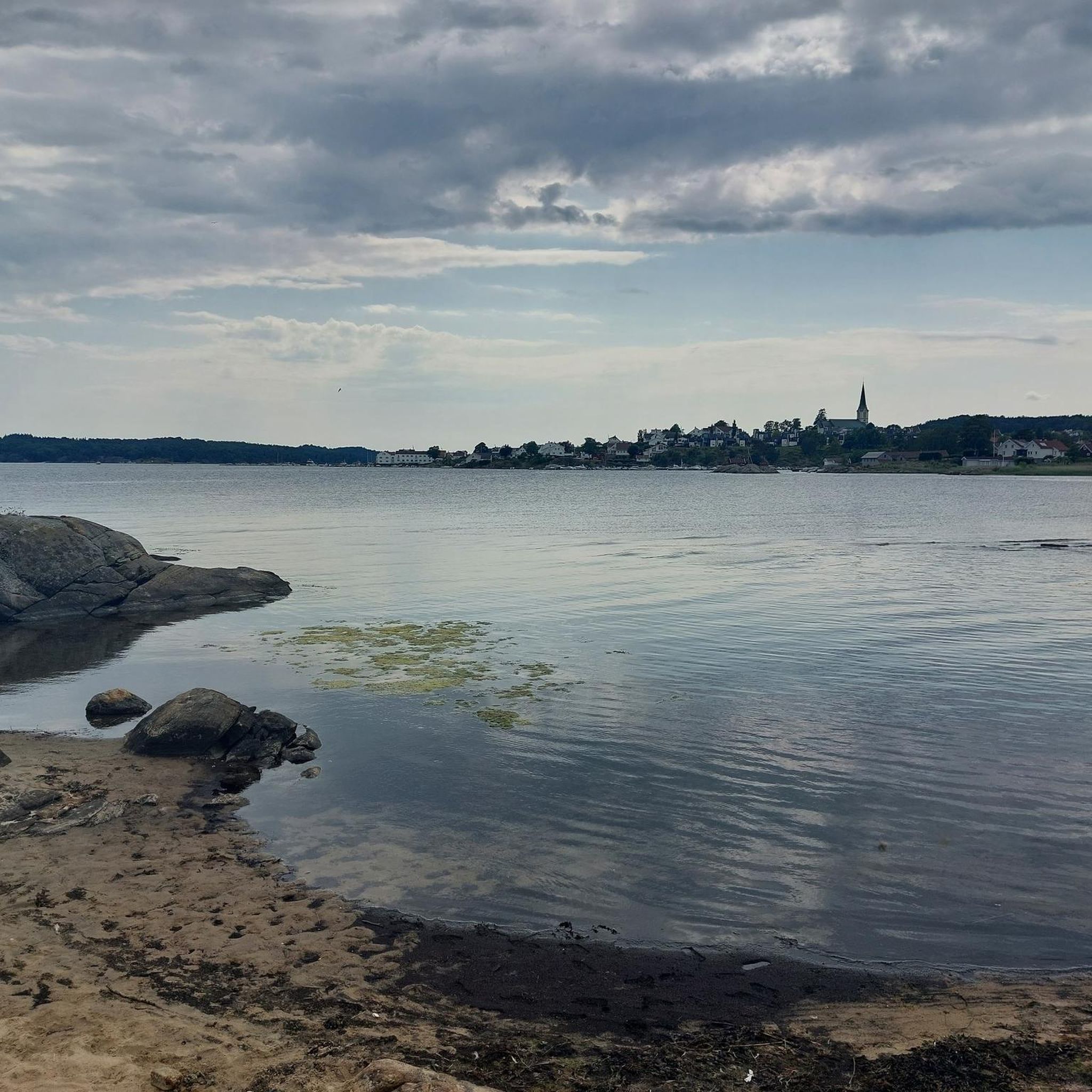
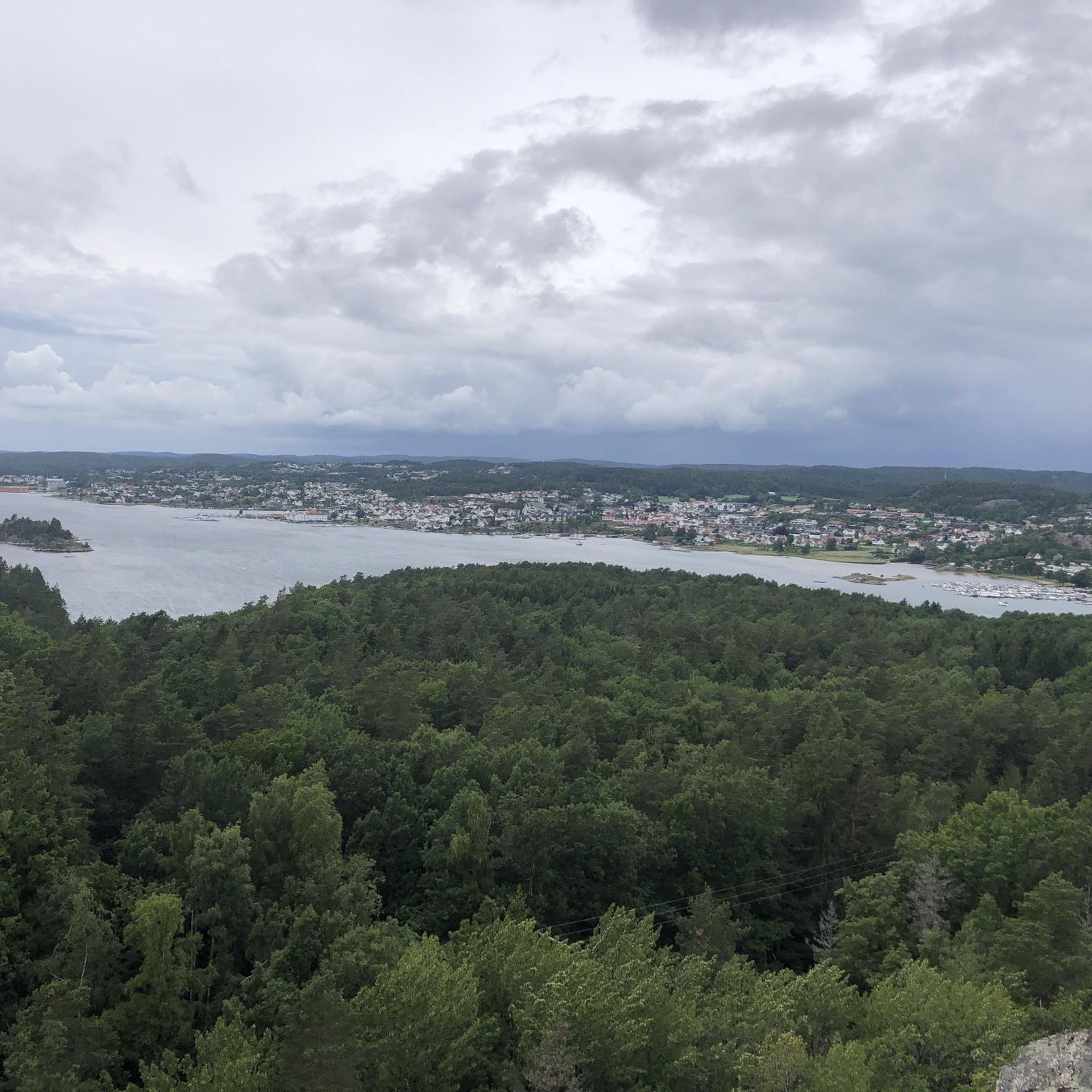
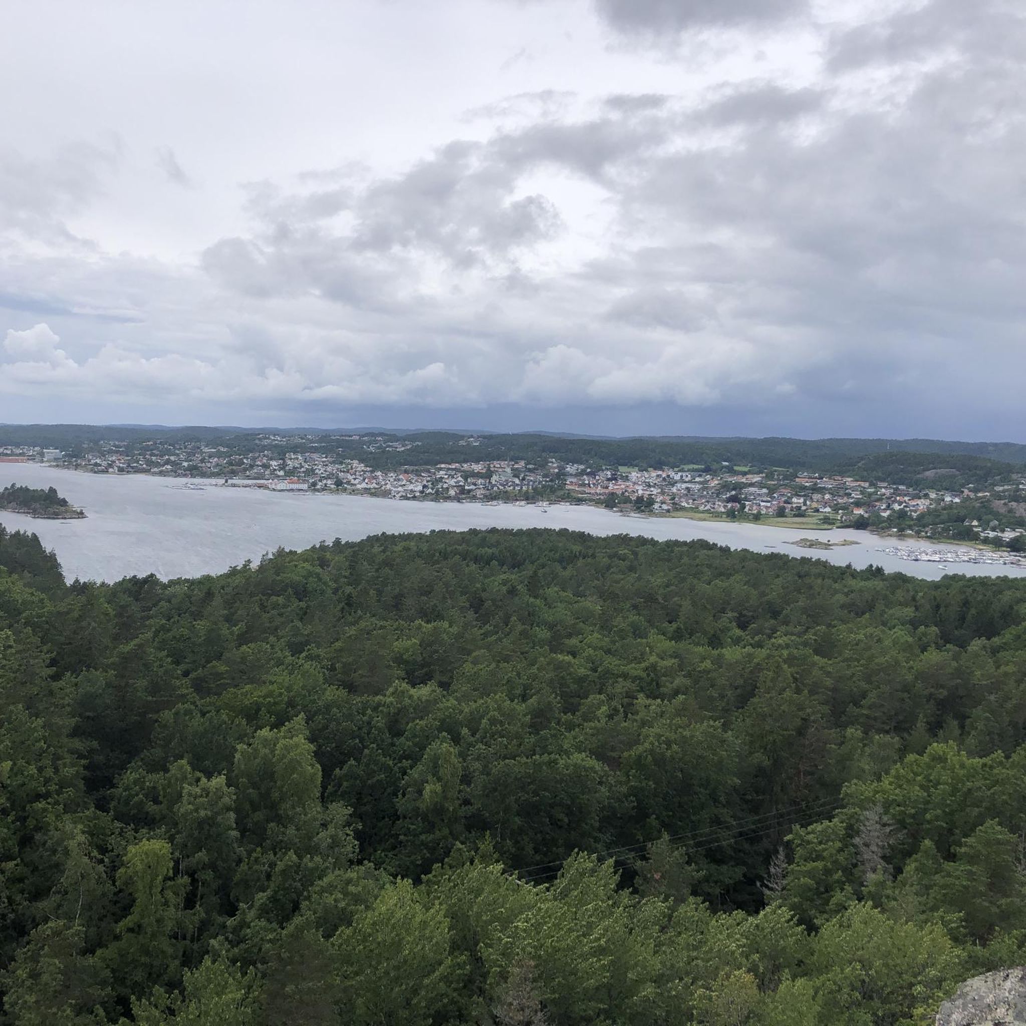
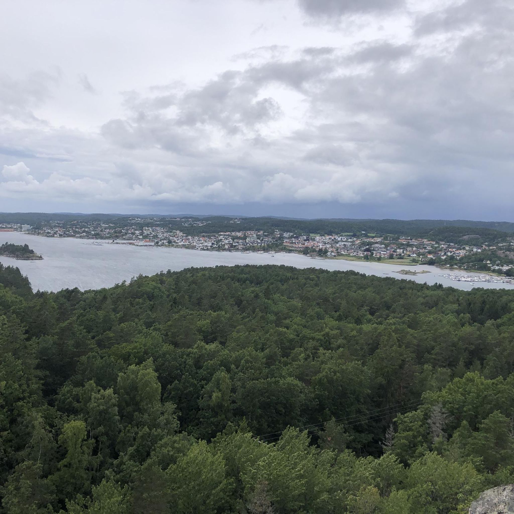
Tips from the Community

Nice route. Steep sections but also a beautiful viewpoint!
0
0

This is a picturesque town on the south Norway coast. A great place to stop for refreshments around the pretty little harbour.
0
0

If you drive the route over the hinterland, you come directly to the Lachstreppe over a bridge over, you come as I over the main road, it's right about 50m in and you're right on the Lachstreppe. Overall, the natural grounds are embedded in a beautiful landscape.
1
0
Frequently Asked Questions
How many running routes are available around Langedalstjønna?
There are over 30 dedicated running routes around Langedalstjønna, offering a variety of experiences for different fitness levels. The komoot community has explored these trails over 140 times.
Are there any easy running trails suitable for beginners in the Langedalstjønna area?
Yes, while most routes are moderate, there is at least one easy running trail available. The terrain around Langedalstjønna is generally rolling with elevation gains typically under 200 meters, making many routes accessible for those new to running or looking for a less strenuous jog.
What kind of terrain can I expect on the jogging routes around Langedalstjønna?
The running routes around Langedalstjønna feature a diverse landscape, including coastal paths near marinas and camping sites, as well as riverine trails along waterways like the Nidelva River. The terrain is generally rolling, with moderate elevation changes.
Are there any circular running paths around Langedalstjønna?
Yes, many of the running paths in the area are circular. For example, the Tingsaker Marina – Tingsaker Camping loop from Heldal is a popular 8.0-mile (13.0 km) circular route offering coastal views. Another option is the Salmon Ladder at Nidelva River loop from Heldal, which is a 6.3-mile (10.2 km) moderate path along the river.
What do other runners enjoy most about jogging in Langedalstjønna?
The running routes in Langedalstjønna are highly rated by the komoot community, with an average score of 4.7 stars. Runners often praise the scenic coastal paths and the tranquil riverine trails along the Nidelva River, appreciating the varied and accessible terrain.
Are the running trails around Langedalstjønna suitable for families?
Many of the routes around Langedalstjønna are suitable for families, especially those looking for a moderate activity. The generally rolling terrain and coastal or riverine paths provide pleasant scenery without overly challenging climbs. Consider routes with shorter distances if running with younger children.
Can I bring my dog on the running paths in Langedalstjønna?
Generally, dogs are welcome on many outdoor trails in Norway, but local regulations may apply, especially in protected areas or during certain seasons. It's always best to keep your dog on a leash and ensure you clean up after them. The varied terrain, from coastal paths to river trails, offers enjoyable experiences for you and your canine companion.
Are there any notable landmarks or points of interest along the running routes?
Yes, several routes offer scenic views and pass by interesting points. For instance, the Salmon Ladder at Nidelva River loop from Heldal follows the Nidelva River, providing views of this important waterway. Other routes pass by Tingsaker Marina and Tingsaker Camping, offering glimpses of coastal life.
What is the best time of year to go running around Langedalstjønna?
The best time for running around Langedalstjønna is typically from spring through autumn (May to October) when the weather is milder and the trails are clear of snow and ice. Summer offers long daylight hours and pleasant temperatures, ideal for exploring the coastal and riverine paths.
Are there any running routes that offer views of the coastline?
Absolutely. The Langedalstjønna area is known for its coastal paths. Routes like the Tingsaker Marina – Tingsaker Camping loop from Heldal and the Heldal–Tingsaker – Tingsaker Marina loop from Vestre Moland kirke specifically lead through coastal areas, providing beautiful views of the sea and local marinas.
Where can I find parking for the running trails in Langedalstjønna?
While specific parking details for each trailhead are not provided here, routes often start from accessible points like Heldal or near churches such as Vestre Moland kirke and Lillesand kirke, which typically have parking facilities. It's advisable to check local maps or komoot route details for precise parking information before your run.
Are there any cafes or places to get refreshments near the running routes?
The routes often pass through or near populated areas like Tingsaker Marina and Lillesand. These locations are likely to have cafes or shops where you can find refreshments. For example, the Lillesand Marina loop from Lillesand kirke is close to amenities in Lillesand.
Most popular routes around Langedalstjønna

Get inspired with the komoot mobile app


Explore more
Browse the best Running Trails & Routes in other regions.
