The best cycling routes around Frøylandsvatnet
4.3
(222)
2,253
riders
54
rides
Touring cycling around Frøylandsvatnet offers diverse landscapes, from open grazing lands to spruce forests, with a generally flat topography suitable for various fitness levels. The region is centered around Frøylandsvatnet, providing scenic views across its waters. A well-developed network of paths, including gravel routes and "cozy roads," makes for accessible cycling. The area is also integrated into the larger Jærruta cycling route, extending the touring possibilities.
Best touring cycling routes around Frøylandsvatnet
- The most popular touring cycling route is Stavanger…
Last updated: June 29, 2026
4.9
(8)
60
riders
59.6km
03:39
440m
440m
Moderate bike ride. Good fitness required. Mostly paved surfaces. Suitable for all skill levels.
25
riders
49.1km
03:13
630m
630m
Hard bike ride. Very good fitness required. Mostly paved surfaces. Suitable for all skill levels.

Sign up for free
5.0
(1)
15
riders
27.2km
01:50
440m
450m
Moderate bike ride. Good fitness required. Mostly paved surfaces. Suitable for all skill levels.
4
riders
8.30km
00:35
140m
140m
Easy bike ride. Great for any fitness level. Mostly paved surfaces. Suitable for all skill levels.
11
riders
40.7km
02:31
330m
330m
Moderate bike ride. Good fitness required. Mostly paved surfaces. Suitable for all skill levels.
Get access to more routes and recommendations from other explorers.
Sign up for free
Already have an account?
Our route recommendations are based on thousands of hikes, rides, and runs completed by other people on komoot.
Start today with a free account
Your next adventure awaits.
Login or Signup
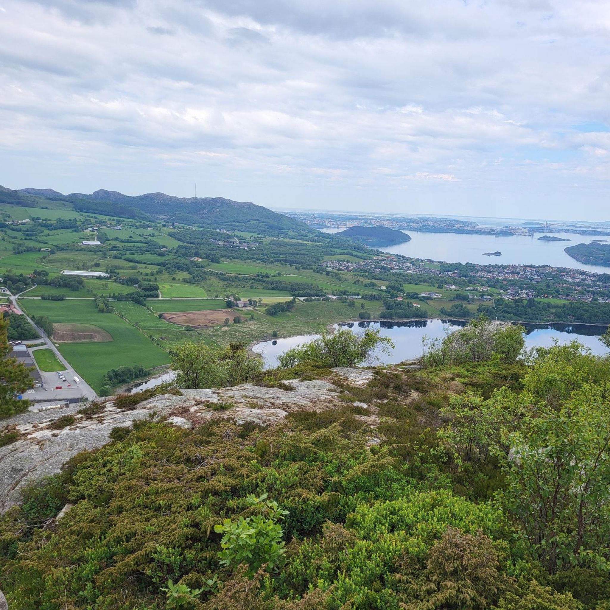
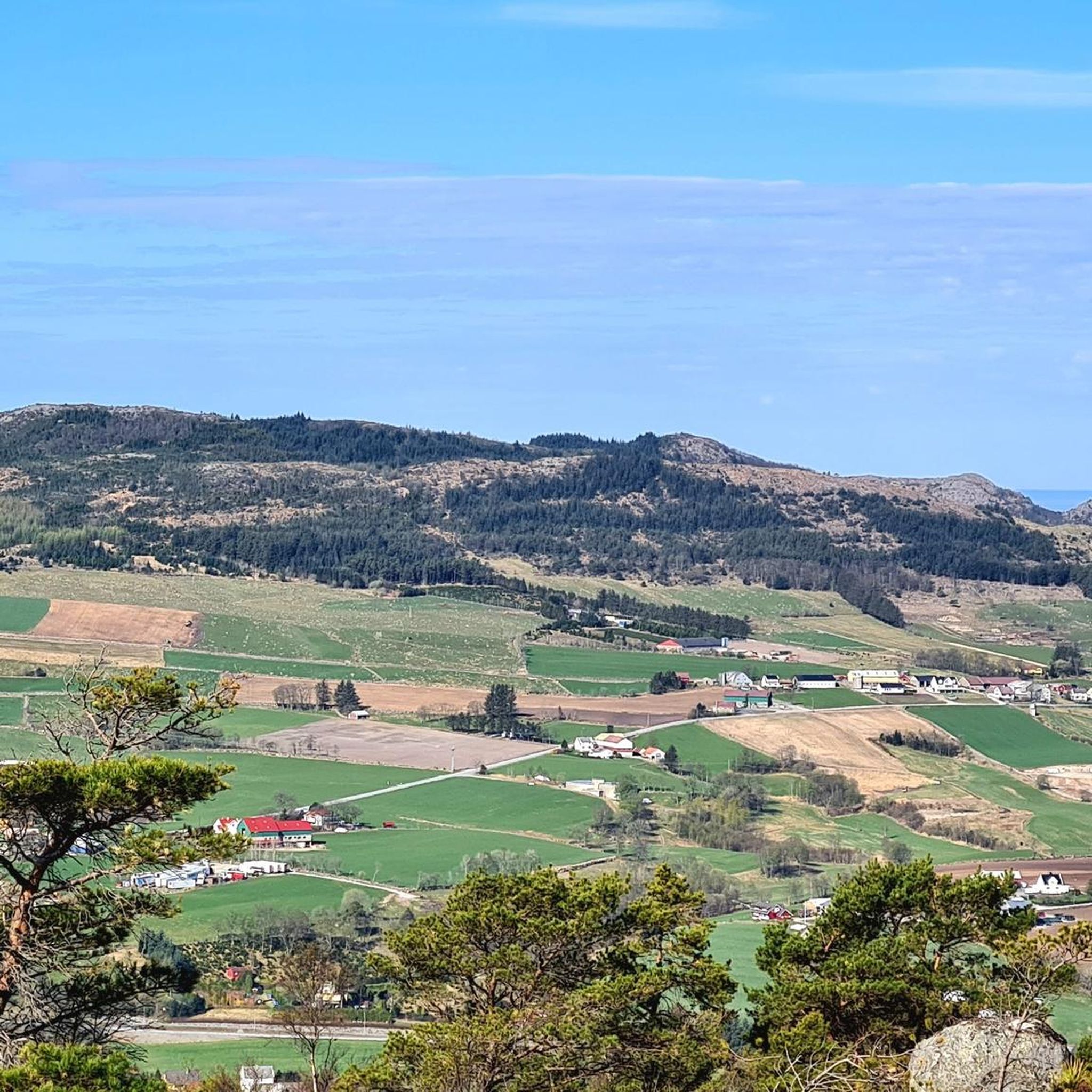
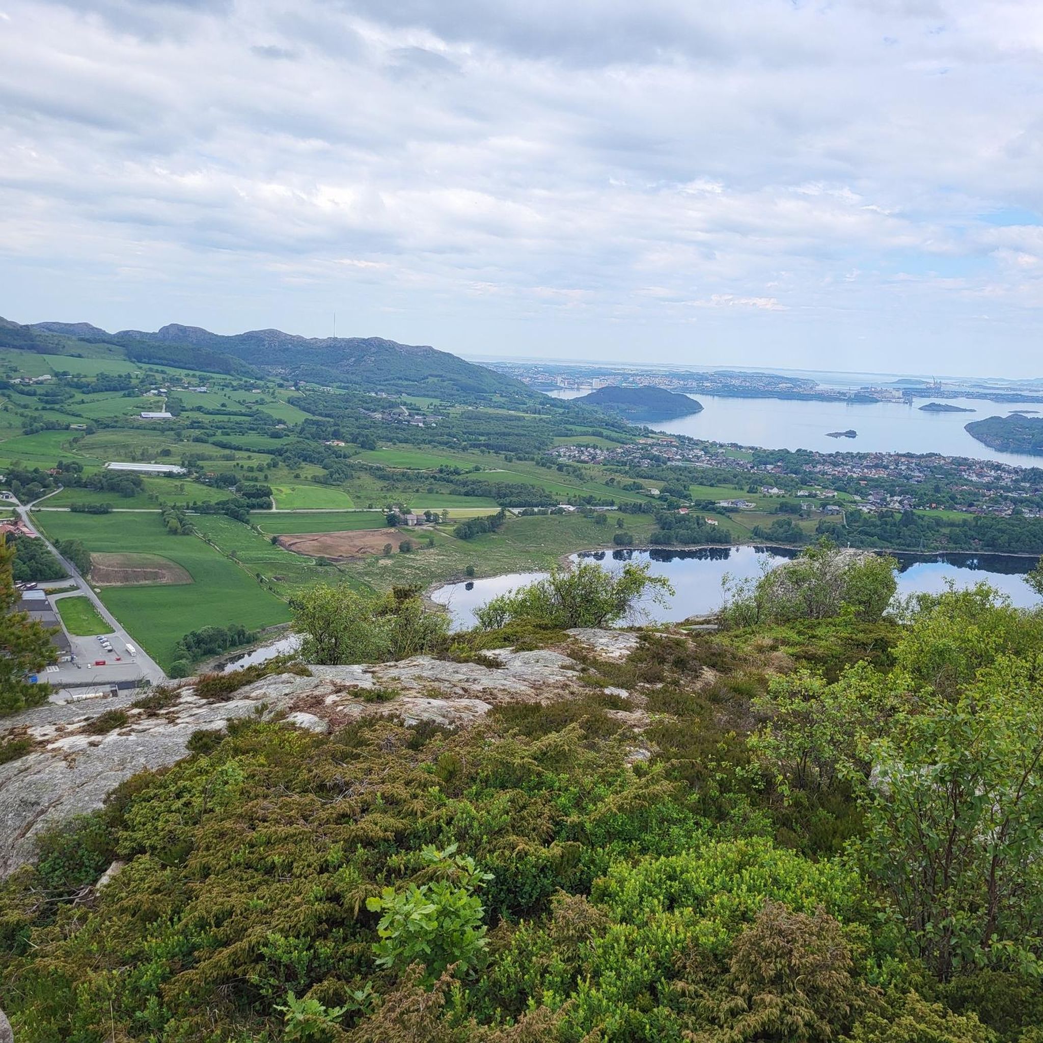
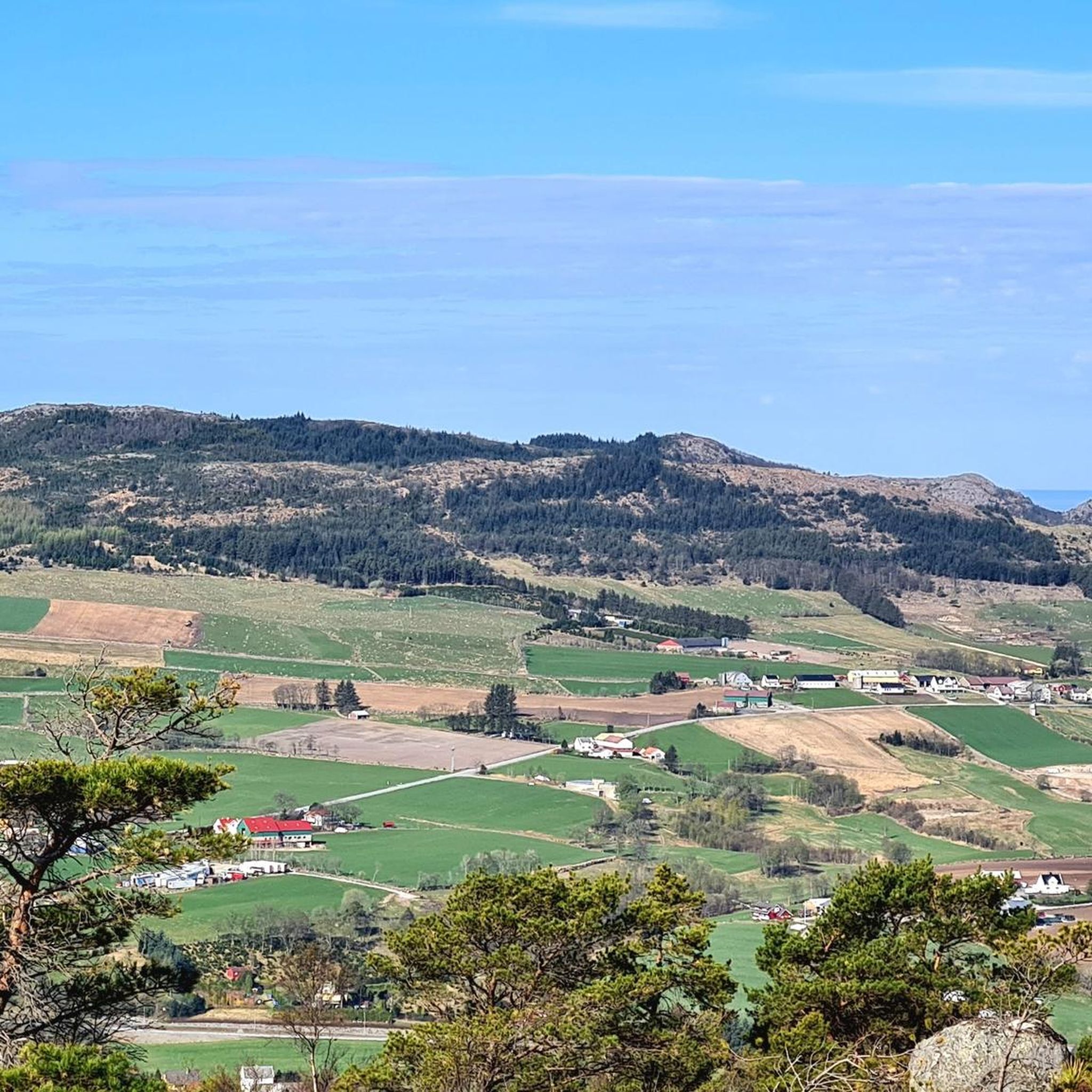
Tips from the Community

Here, you can take a break on a bench. Wander between the trees to admire the lake up close.
0
0

A perfect picnic spot by the lake where you can enjoy peaceful tranquility and natural beauty. The view is dominated by the calm, shimmering lake surface and framed by mature trees or gentle shoreline vegetation, creating a sheltered environment ideal for relaxation.
0
0

What a wonderful church! Unfortunately, it was closed, but a visit here is a must!
0
0
Beautiful shallow water can be found here… perfect for families with small children.
0
0

Be careful with the sand on the bike path
0
0

This road is practically perfect, with smooth tarmac and views of water and mountains on all sides. Cycling heaven.
1
0
A busy little harbour with a few good coffee stop options nearby. A great place to start or end a ride around Sandnes.
0
0

Sola beach is a well-known, extensive sandy beach located near Stavanger Airport, characteristic of the Jæren coastline.
0
0
Frequently Asked Questions
How many touring cycling routes are available around Frøylandsvatnet?
There are over 50 touring cycling routes around Frøylandsvatnet, offering a wide range of options for different skill levels and preferences. You'll find everything from easy loops to more challenging long-distance rides.
What kind of terrain can I expect on the cycling routes around Frøylandsvatnet?
The routes around Frøylandsvatnet feature a varied and picturesque landscape. You can expect to cycle through open grazing lands characteristic of the Jæren region, as well as stretches of dense spruce forest. The topography is generally flat, making it accessible for cyclists of varying fitness levels, with scenic views across the lake's waters.
Are there any easy routes suitable for beginners or families?
Yes, Frøylandsvatnet offers several easy routes perfect for beginners or families. For instance, the Bike loop from Frøylandsvatnet is an easy 8.3 km trail that takes you through the immediate lake surroundings, typically completed in about 33 minutes.
What are some notable landmarks or attractions I can see while cycling?
While cycling around Frøylandsvatnet, you can experience several notable features. A significant attraction is the Midgardsormen bridge, a distinctive wooden bridge winding across the lake. Recreational areas like Sandtangen, near Bryne, offer pleasant spots. Historically, you can find a memorial stone on Lalandsholmen, marking the legendary birthplace of King Olav Tryggvason.
Are there longer touring options that connect to other regions?
Yes, Frøylandsvatnet is integrated into the larger Jærruta cycling route. This extensive 140-kilometer route stretches across the Jæren region, connecting various towns and offering a refreshing adventure along Norway's coastline. It allows cyclists to experience local culture, passing through farming lands and cultural highlights like the street artwork of Erling Braut Haaland in Bryne.
What do other touring cyclists enjoy most about cycling in Frøylandsvatnet?
The area is highly rated by the komoot community, with an average score of 4.4 stars from over 200 reviews. Reviewers often praise the diverse landscapes, from open grazing lands to spruce forests, and the well-developed network of paths, including gravel routes and 'cozy roads,' which make for accessible and enjoyable cycling.
Are there any moderate routes for cyclists looking for a bit more challenge?
Certainly. For a moderate challenge, consider the Public Beach – Lake Picnic Area loop from Frøylandsvatnet. This route covers 27.2 km and offers a good balance of distance and varied scenery. Another moderate option is the Sola Ruin Church – Sola Beach loop from Grunningen naturreservat, which is 41.2 km long.
What are the options for parking and public transport access to the cycling routes?
The region around Frøylandsvatnet is well-equipped with good cycle paths and clear signage, making routes accessible. While specific parking locations aren't detailed, the area's popularity and integration into larger networks suggest convenient access points. For public transport, it's advisable to check local services for connections to towns like Bryne, which are often starting points for routes around the lake.
Can I rent electric bikes or find cycling packages in the area?
Yes, the overall suitability for touring cycling in the Frøylandsvatnet area is enhanced by the availability of services. You can find options to rent electric bikes, and some providers even offer complete packages that include accommodation and food, making it easier to plan a multi-day cycling tour.
What is the best time of year to go touring cycling around Frøylandsvatnet?
The flat topography and well-maintained paths make Frøylandsvatnet enjoyable for cycling across much of the year. However, the Jæren region is known for its unique light conditions, especially along the coastline, which can be particularly inspiring during spring, summer, and early autumn. These seasons generally offer the most pleasant weather for outdoor activities.
Are there any routes that offer coastal views?
Yes, parts of the larger Jærruta, which integrates with routes around Frøylandsvatnet, run along the beaches and coastline. This provides unique light conditions and refreshing sea air. For a route with expansive fjord views, you might consider the Fjord views – Lake Picnic Area loop from Frøylandsvatnet, a difficult 49.1 km path.
Are there any challenging routes for experienced touring cyclists?
Experienced touring cyclists will find challenging options around Frøylandsvatnet. For example, the Stavanger City Bridge – Port of Stavanger loop from Frøylandsvatnet is a difficult 59.7 km trail featuring varied terrain and coastal views, typically taking around 3 hours and 38 minutes to complete.
Most popular routes around Frøylandsvatnet

Get inspired with the komoot mobile app


Explore more
Browse the best Cycling routes in other regions.
