The best cycling routes in Morovis Municipio
3.0
(2)
60
riders
5
rides
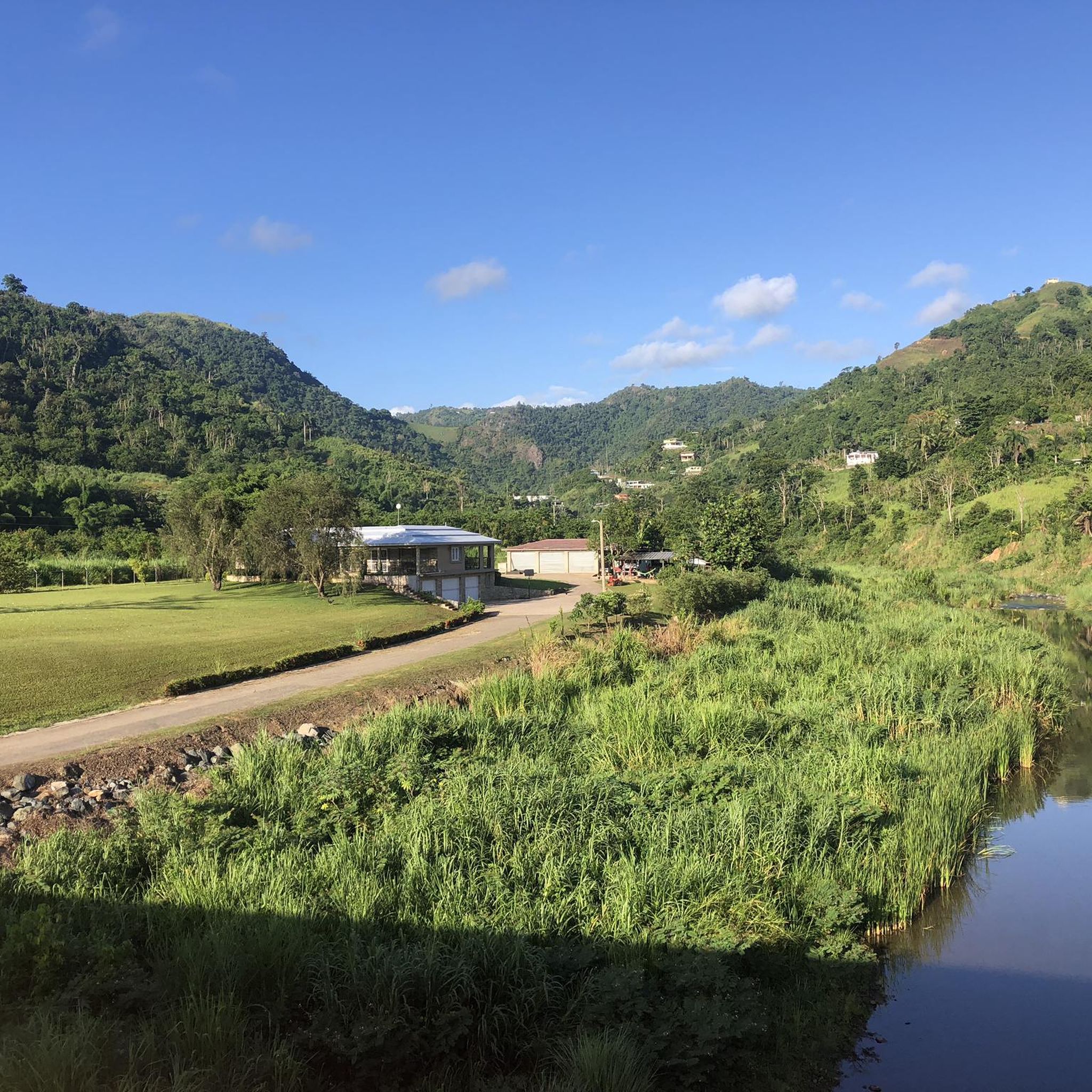
Touring cycling in Morovis Municipio offers diverse routes through its central-north region of Puerto Rico. The landscape is characterized by the "Northern Humid Hills," featuring lush green areas and undulating terrain. Cyclists can experience fertile river valleys, including those of the Río Grande de Manatí, Río Bauta, and Río Sana Muerto. The region's hilly nature provides varied elevation changes suitable for different fitness levels.
Best touring cycling routes in Morovis Municipio
- The most popular touring cycling route is Bike loop…
Last updated: July 2, 2026
20
riders
47.5km
03:29
270m
280m
Moderate bike ride. Good fitness required. Mostly paved surfaces. Suitable for all skill levels.
15
riders
22.5km
01:44
150m
150m
Easy bike ride. Great for any fitness level. Mostly paved surfaces. Suitable for all skill levels.

Sign up for free
5.0
(1)
13
riders
19.5km
01:26
90m
90m
Easy bike ride. Great for any fitness level. Mostly paved surfaces. Suitable for all skill levels.
5
riders
19.5km
01:11
90m
90m
Easy bike ride. Great for any fitness level. Mostly paved surfaces. Suitable for all skill levels.
5
riders
68.2km
04:03
350m
350m
Moderate bike ride. Good fitness required. Mostly paved surfaces. Suitable for all skill levels.
1.0
(1)
2
riders
33.1km
01:56
190m
190m
Moderate bike ride. Good fitness required. Mostly paved surfaces. Suitable for all skill levels.
2
riders
36.8km
02:18
410m
410m
Moderate bike ride. Good fitness required. Mostly paved surfaces. Suitable for all skill levels.
Our route recommendations are based on thousands of hikes, rides, and runs completed by other people on komoot.
Start today with a free account
Your next adventure awaits.
Login or Signup
Popular around Morovis Municipio

Tips from the Community

There are miles of scenic bike trails in the reserve, many of which are grassy doubletrack. The hacienda is also an important historic site with an old sugar mill, steam engine, and tours. You can explore some of the ruins and old plantation lands on your own terms via bike.
0
0

Area to practice recreational fishing, kayaking or MTB. It has gazebos for lunch, but they are pretty unworthy so use them at your own risk.
0
0

The lagoon covers an area of approximately 2.43 km2 and contains a total volume of water of 708 million gallons. It is made up of two segments: Laguna Tortuguero, which includes the northeastern swamp known as Cabo Caribe, and Laguna Rica. Its prevailing depth is between four to five feet. The most important hydrological consideration is the relationship between the Lagoon and its main water sources; groundwater from aquifers and water that runs through surface river discharges during rains.
0
0
Frequently Asked Questions
How many touring cycling routes are available in Morovis Municipio?
Komoot offers a selection of 5 touring cycling routes in Morovis Municipio. These routes cater to various skill levels, from easy rides to more challenging excursions through the region's diverse landscapes.
Are there touring cycling routes suitable for beginners in Morovis Municipio?
Yes, there are easy touring cycling routes perfect for beginners. For example, the Bike loop from Algarrobo is an easy 14.0-mile (22.5 km) path that provides a relaxed ride through green landscapes. Another easy option is the Los Tobos Beach loop from Coto Norte, a 12.1-mile (19.5 km) trail.
What kind of terrain can I expect on touring cycling routes in Morovis Municipio?
Morovis Municipio is characterized by its 'Northern Humid Hills,' offering a mix of lush green areas, fertile river valleys, and undulating terrain. You'll find routes with well-paved surfaces, but some more demanding segments may include unpaved sections. The region's hilly nature provides varied elevation changes, making for an engaging cycling experience.
Are there any longer or more challenging touring cycling routes for experienced cyclists?
Yes, experienced cyclists can find more challenging routes. The Los Tobos Beach loop from Vega Baja is a difficult 56.0-mile (90.2 km) route with significant elevation gain. For a moderate challenge, consider the Bike loop from Vega Baja, which spans 29.5 miles (47.5 km) with varied terrain.
What natural attractions or landmarks can I see along the touring cycling routes?
Morovis Municipio is rich in natural beauty. While cycling, you can experience lush river valleys, including those of the Río Grande de Manatí, Río Bauta, and Río Sana Muerto. The region is also known for its rainforests and opportunities to explore caves and waterfalls. Notable attractions nearby include the Las Cabachuelas Caverns, a network of caves with ancient Taíno art, and Cerro Mime, offering scenic views.
Are there any circular touring cycling routes in Morovis Municipio?
Yes, many of the touring cycling routes in Morovis Municipio are designed as loops, allowing you to start and end at the same point. Examples include the Bike loop from Algarrobo and the Los Tobos Beach loop from Coto Norte, providing convenient round trips.
What is the best time of year to go touring cycling in Morovis Municipio?
Morovis Municipio, located in the 'Northern Humid Hills' and featuring rainforests, generally offers a tropical climate. While specific seasonal recommendations aren't provided, the lush green areas suggest that cycling is enjoyable year-round, though it's always wise to check local weather forecasts, especially during the rainy season, to ensure comfortable conditions.
How long do touring cycling routes typically take in Morovis Municipio?
The duration of routes varies depending on their length and difficulty. Easy routes like the Los Tobos Beach loop from Coto Norte can be completed in about 1 hour 11 minutes. Longer, more challenging routes, such as the Barceloneta Beach – Rincón Grande loop from Vega Baja (52.2 miles / 84.1 km), might take around 4 hours 53 minutes.
What do other touring cyclists enjoy the most about cycling in Morovis Municipio?
The komoot community highly rates the touring cycling experience in Morovis Municipio, with an average score of 5.0 stars. Cyclists often praise the region's diverse terrain, from fertile river valleys to hilly landscapes, and the opportunity to explore its lush green areas. The variety of routes caters to different ability levels, making it appealing to many.
Are there any routes that offer coastal views or lead to beaches?
Yes, some routes provide access to coastal areas and beaches. The Los Tobos Beach loop from Coto Norte is a popular trail leading through coastal scenery. Another option is the Vega Baja Beach – Los Tobos Beach loop from Vega Alta, which connects two scenic beach areas.
Can I find routes that pass by rivers or offer views of water bodies?
Absolutely. Morovis Municipio's fertile land is naturally irrigated by several rivers, including the Río Grande de Manatí, Río Bauta, and Río Sana Muerto. Many routes will take you through these lush river valleys, offering picturesque views and a refreshing cycling experience amidst the natural waterways.
Most popular routes in Morovis Municipio

Get inspired with the komoot mobile app


Explore more
Browse the best Cycling routes in other regions.
