The best walks and hikes around Engervannet
4.6
(314)
3,413
hikers
241
hikes
Hiking around Engervannet, located in Akershus, Norway, offers diverse outdoor activities within a unique natural setting. The region is characterized by a distinctive brackish water lake, which supports rich biodiversity, particularly birdlife. Terrain around the lake features easily accessible paths and varied trails, with elevations generally gentle, and the southern side provides views towards tree-clad hills.
Best hiking trails around Engervannet
- The most popular hiking route is Engervannet loop from Sandvika, a 4.6 miles (7.4 km) trail that takes…
Last updated: October 13, 2026
3
hikers
7.29km
01:56
80m
80m
Easy hike. Great for any fitness level. Easily-accessible paths. Suitable for all skill levels.
5.0
(1)
2
hikers
8.69km
02:21
150m
60m
Moderate hike. Good fitness required. Easily-accessible paths. Suitable for all skill levels.

1
hikers
10.8km
02:51
100m
90m
Moderate hike. Good fitness required. Easily-accessible paths. Suitable for all skill levels.
5.25km
01:25
70m
70m
Easy hike. Great for any fitness level. Easily-accessible paths. Suitable for all skill levels.
18.3km
05:21
400m
400m
Hard hike. Very good fitness required. Mostly accessible paths. Sure-footedness required.
Get access to more routes and recommendations from other explorers.
Already have an account?
Our route recommendations are based on thousands of hikes, rides, and runs completed by other people on komoot.
Start today with a free account
Your next adventure awaits.
Tips from the Community

Reached by blue-marked hiking trails traversing pine woods and open rocky terrain, the wooden summit marker sits on an elevated clearing offering vast, wide views overlooking the Oslofjord, surrounding forested hills, and countryside landscapes.
0
0

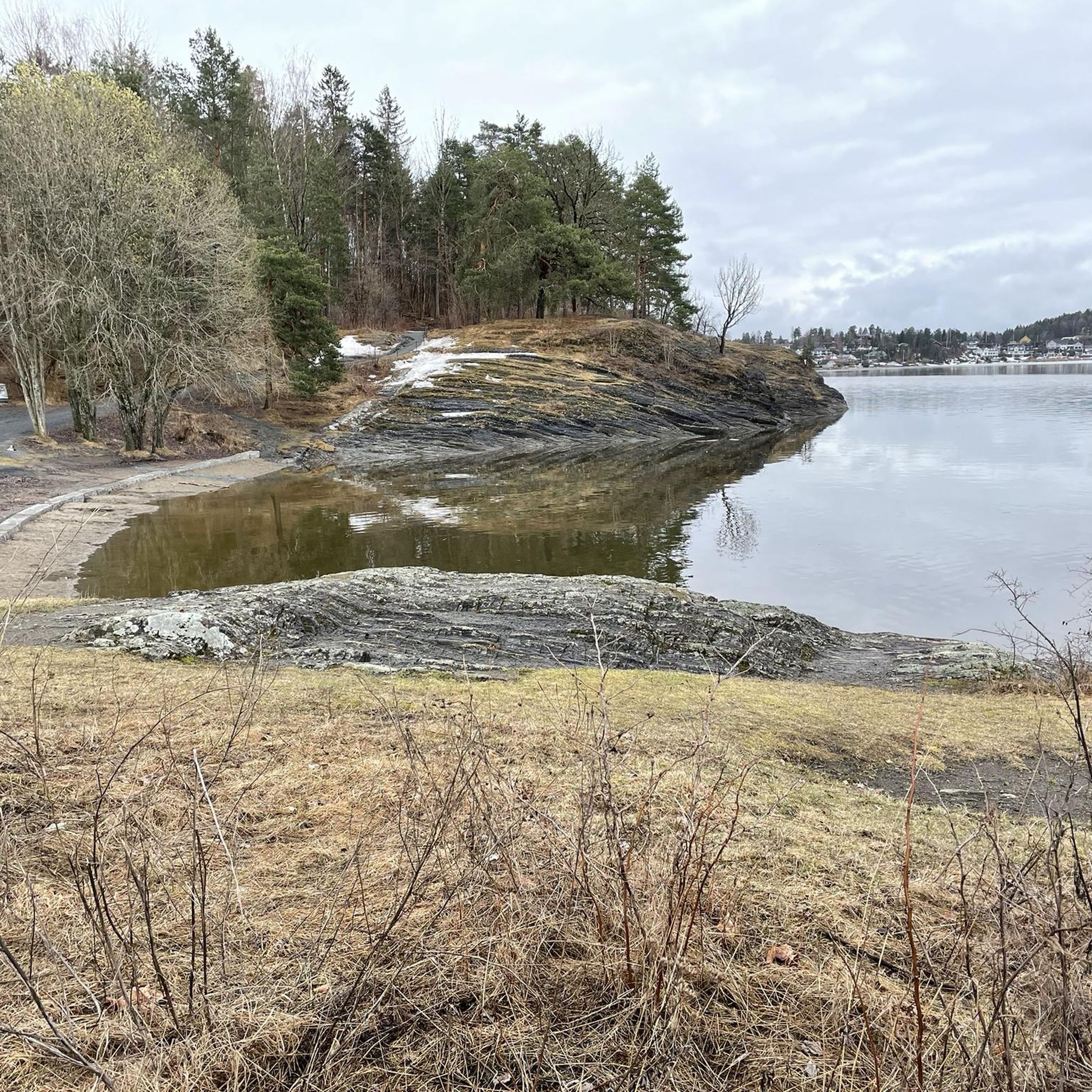
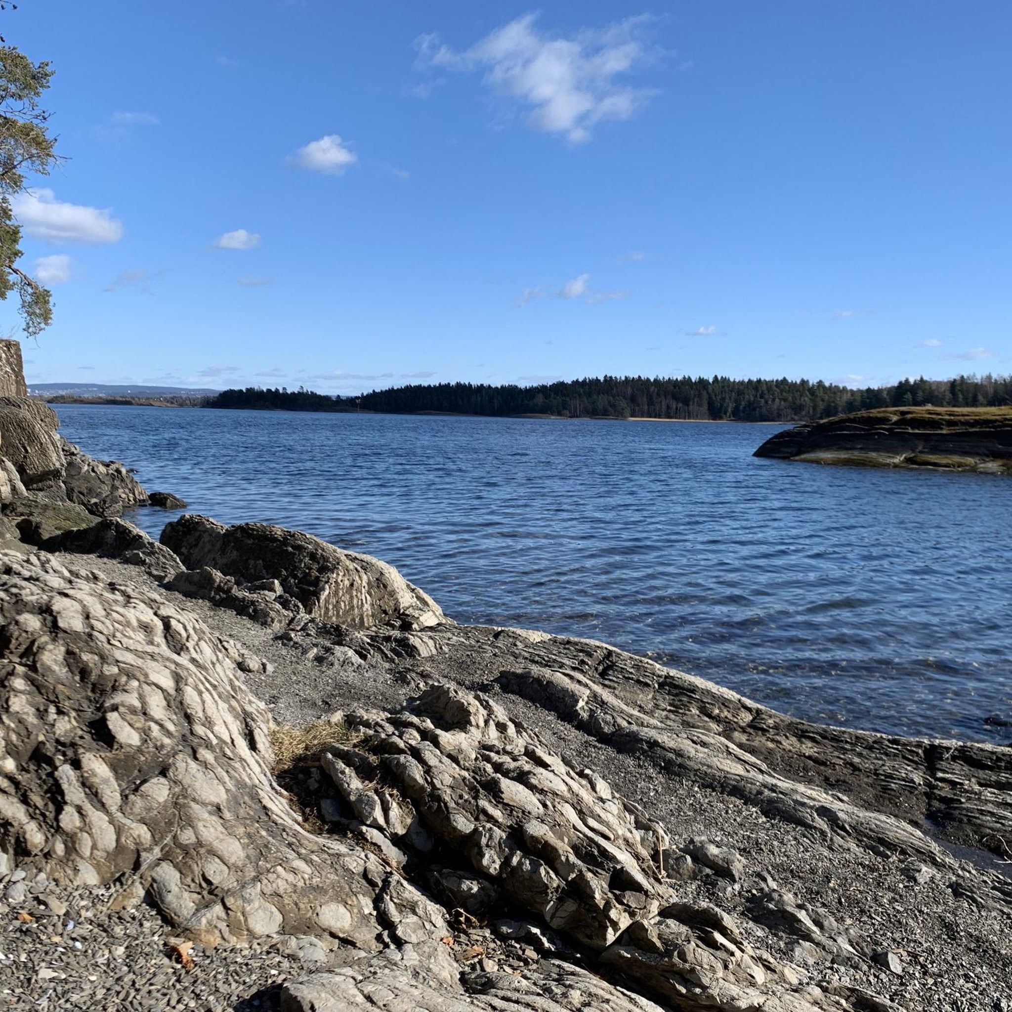
Høvikodden is a scenic peninsula on the Oslofjord, known for its combination of coastal landscapes, rocky shores and cultural attractions. Its shoreline paths offer beautiful views across the fjord and connect beaches, viewpoints and the Henie Onstad Art Centre.
0
0
Surrounding the Henie Onstad Art Centre, the Art Park combines contemporary sculptures with coastal scenery overlooking the Oslofjord. The freely accessible outdoor exhibition features works by renowned Norwegian and international artists.
0
0
Kadettangen is one of Bærum’s most popular waterfront recreation areas, known for its sandy beach, swimming facilities and open green spaces. The diving platform is a favourite summer attraction, offering a refreshing way to enjoy the clear waters of the Oslofjord.
0
0
Completed in 1926 and later expanded, Bærum Town Hall is one of Sandvika’s most distinctive public buildings. Outside, you’ll find Friheten (“Freedom”), Arnold Haukeland’s striking equestrian sculpture, which has become a local landmark and an important example of modern Norwegian public art.
0
0

A narrow path along the Sandvikselva river. The banks and the riverbed are still in their natural state here.
0
0
The Sandvika small boat harbor („Småbåtshavn“) is a marina used by local residents and visitors for mooring leisure boats and accessing the Oslofjord.
0
0
Frequently Asked Questions
How many hiking trails are available around Engervannet?
There are over 230 hiking routes around Engervannet, catering to a wide range of preferences and fitness levels. This includes 85 easy routes, 133 moderate, and 21 more challenging trails.
What kind of terrain can I expect on hikes around Engervannet?
Engervannet offers diverse terrain, from easily accessible paths suitable for all skill levels to more challenging trails. You'll find scenic landscapes, lush scenery with abundant trees, and views towards tree-clad hills, particularly on the southern side of the lake. The elevation changes around the lake are generally gentle.
Are there family-friendly hiking options in Engervannet?
Yes, Engervannet has many family-friendly options. There are 85 easy routes available, perfect for a leisurely stroll with children. These paths often feature gentle elevations and pleasant natural surroundings.
What do other hikers enjoy most about the trails in Engervannet?
The trails around Engervannet are highly rated by the komoot community, with an average score of 4.7 stars from over 250 reviews. Hikers frequently praise the lush scenery, the abundant birdlife, and the well-maintained paths that offer a pleasant outdoor experience for various ability levels.
Are there any circular hiking routes around Engervannet?
Many of the popular routes around Engervannet are circular. For example, the Hiking loop from Jongskollen is a 6.4 km trail that leads through forested paths and open areas, typically completed in about 1 hour 39 minutes.
What natural features or landmarks can I see while hiking around Engervannet?
Engervannet is known for its beautiful natural features. You can enjoy abundant birdlife, with Birdlife Bærum having erected posters to highlight local avifauna. The lake itself offers very nice water views surrounded by ample trees. For a touch of history, there's also a bunker located north of the water.
How long does it typically take to hike around Engervannet?
Hiking durations vary depending on the route. An easy loop like Engervannet loop from Sandvika, which is 7.4 km, takes approximately 1 hour 58 minutes. A more moderate option, such as the 10.2 km Hiking loop from Evje, typically takes around 2 hours 42 minutes.
Is Engervannet accessible by public transport?
Yes, Engervannet is easily reachable by public transport. Its proximity to Sandvika station makes it a convenient destination for day-trippers and outdoor enthusiasts using public transportation.
Are there any longer, more challenging hikes in the Engervannet area?
For those seeking a longer and more challenging experience, the View from Søndre Kolsås – Sætertjernet Lake loop from Gjettum spans 10.4 km and includes more significant elevation changes, making it a moderate difficulty hike.
What is the best time of year to hike around Engervannet?
The broader region of Asker and Bærum, where Engervannet is located, is well-regarded for its year-round outdoor activities. This suggests that hiking around Engervannet can be enjoyed in various seasons, offering different natural beauty throughout the year.
Are there any shorter, easy hikes for beginners around Engervannet?
Absolutely. If you're looking for a shorter, easier option, the View from Søndre Kolsås loop from Gjettum is an easy 4.3 km trail that can be completed in about 1 hour 30 minutes, offering a pleasant experience for beginners.
Most popular routes around Engervannet

Get inspired with the komoot mobile app


Explore more
Browse the best Hikes in other regions.
