The best walks and hikes around Andfiskvatnet
4.8
(33)
231
hikers
18
hikes
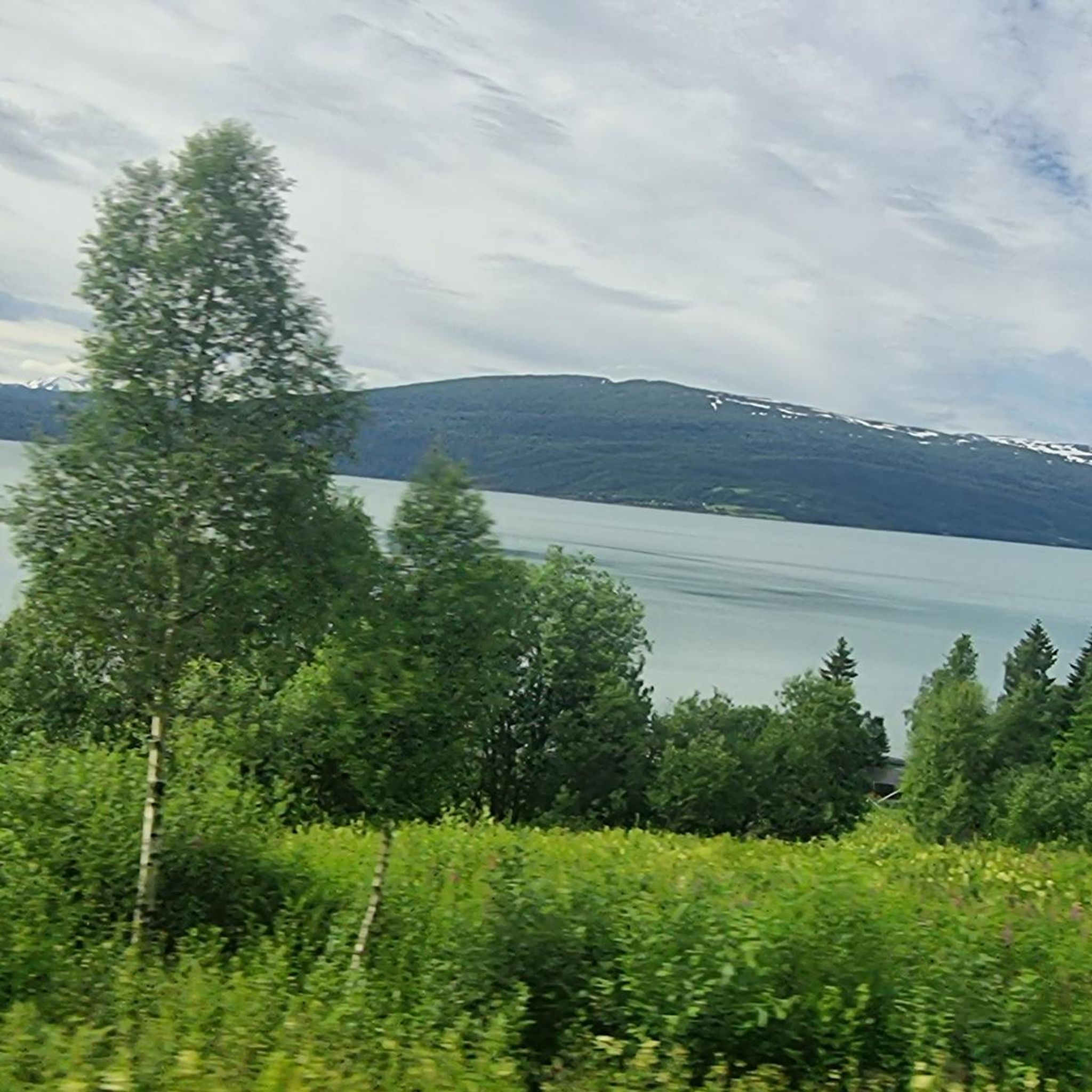
Hiking around Andfiskvatnet offers a blend of natural beauty and tranquil exploration in Norway's Nordland county. The region is characterized by the serene Andfiskvatnet lake, which spans 2.7 square kilometers (1.0 sq mi) and features shores lined with reeds and grasses. The lake flows into the Andfiskåga river, contributing to a landscape that provides accessible wilderness for outdoor activities. This area presents a peaceful environment with varied terrain suitable for connecting with nature.
Best hiking trails around Andfiskvatnet
- The most…
Last updated: June 29, 2026
5.0
(2)
30
hikers
Moderate hike. Good fitness required. Easily-accessible paths. Suitable for all skill levels.
5.0
(1)
11
hikers
3.04km
01:01
160m
160m
Easy hike. Great for any fitness level. Easily-accessible paths. Suitable for all skill levels.

Sign up for free
5.0
(1)
7
hikers
4.39km
01:09
40m
40m
Easy hike. Great for any fitness level. Easily-accessible paths. Suitable for all skill levels.
4.0
(3)
11
hikers
11.6km
03:33
370m
370m
Moderate hike. Good fitness required. Easily-accessible paths. Suitable for all skill levels.
13
hikers
Easy hike. Great for any fitness level. Easily-accessible paths. Suitable for all skill levels.
Get access to more routes and recommendations from other explorers.
Sign up for free
Already have an account?
Our route recommendations are based on thousands of hikes, rides, and runs completed by other people on komoot.
Start today with a free account
Your next adventure awaits.
Login or Signup
Popular around Andfiskvatnet

Tips from the Community

To get to the water, you have to use the underpass at the end of the pedestrian zone. No graffiti, just really beautiful paintings!
0
0

Nice view of the fjord and the old houses
0
0
There is also a small, beautiful waterfront promenade here
0
0

A beautiful little church from the old days of Mo i Rana. Be sure to also look inside, it shines beautifully.
1
0
A man in the sea looking into the fjord. Tip - there are stones in the ground on the square in front of it. If you find the right one, you'll hear an echo! But only on one stone.
1
0

Look down on the harbor and trading city Mo.
0
0
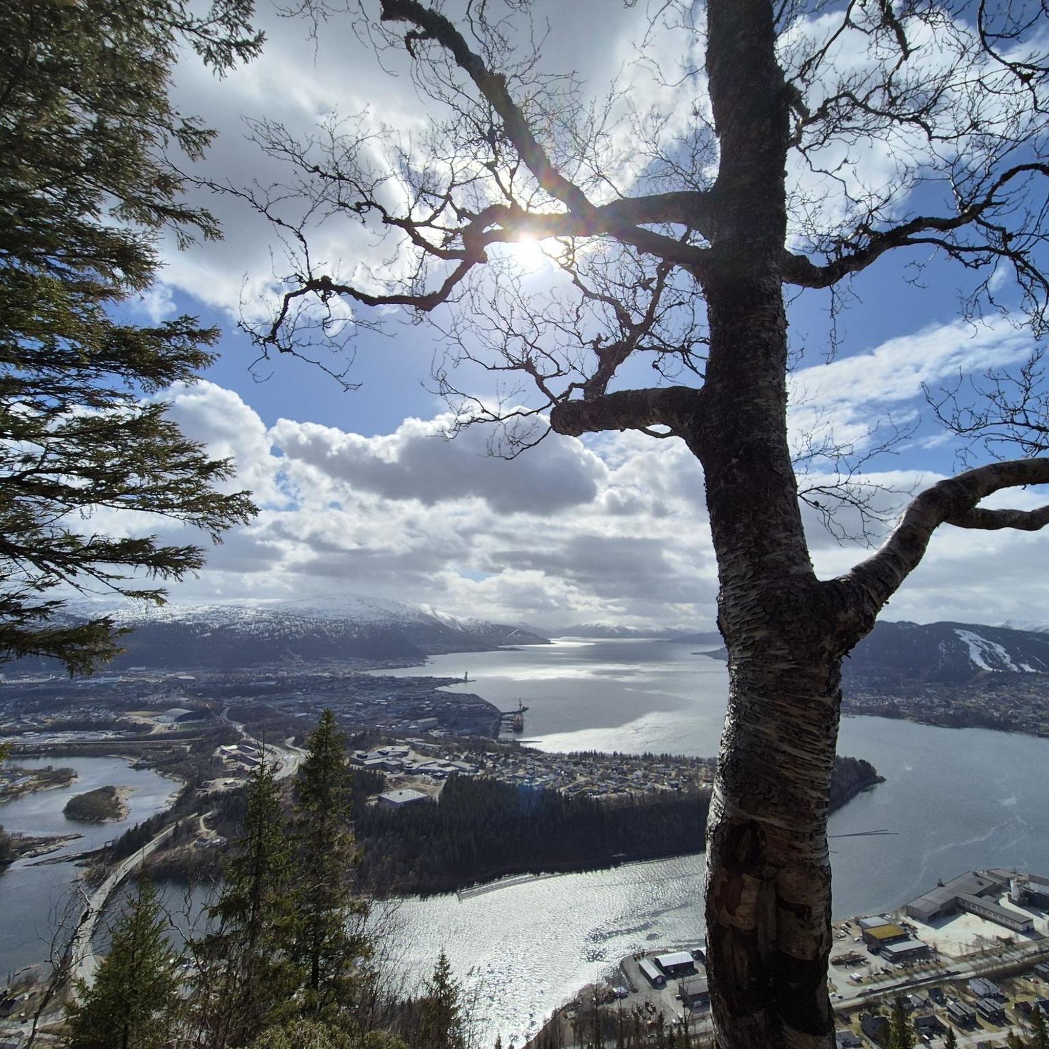
Great view over the fjord landscape of Mo i Rana. A picnic bench invites you to rest. So the snack tastes twice as tasty.
1
0
Frequently Asked Questions
What types of hiking trails can I find around Andfiskvatnet?
The area around Andfiskvatnet offers a variety of hiking trails, ranging from easy walks to more challenging routes. You'll find paths suitable for short excursions, family outings, and longer, more strenuous hikes. In total, there are 19 tours, with 6 easy, 12 moderate, and 1 difficult option.
Are there any easy, family-friendly hikes suitable for children?
Yes, Andfiskvatnet is known for its accessible wilderness, making it a great option for families and children. There are 6 easy routes available. An example is the Viewpoint Over Mosjøen loop from Mo i Rana, which is an easy 3.1 km path that takes about 1 hour to complete.
What is the general terrain like for hiking around Andfiskvatnet?
The terrain around Andfiskvatnet is characterized by its serene lakeside, peaceful river valleys, and accessible natural areas. While much of Norway is known for dramatic landscapes, this region offers a more gentle experience with varied scenery, including reeds and grasses along the lake shores, and potential for riverside trails along the Andfiskåga river.
Are there any circular walks available in the Andfiskvatnet area?
Yes, several circular walks are available. For instance, the Mølnhusforsen – Breidlia loop from Mølnhusforsen is a moderate 6.9 km circular route. Another option is the easy Man in the Sea Statue – Mo i Rana Old Church loop from Mo i Rana, which is 4.4 km.
What natural features can I expect to see while hiking around Andfiskvatnet?
Hikers can enjoy the beautiful and peaceful ambiance of Andfiskvatnet itself, a 2.7-square-kilometer lake with shores adorned by green reeds and grasses. The lake flows into the Andfiskåga river, which eventually leads to the Ranfjorden, offering diverse aquatic ecosystems and potential for varied hiking routes along its course.
What do other hikers say about the trails in Andfiskvatnet?
The routes in Andfiskvatnet are highly rated by the komoot community, with an average score of 4.8 stars from over 29 reviews. Hikers often praise the peaceful atmosphere and the opportunity to connect with nature in an accessible way.
Are there any longer or more challenging hikes for experienced hikers?
While the area is known for its accessibility, there are options for more experienced hikers. The Mølnhusforsen – Breidlia loop from Mølnhusforsen is a moderate 6.9 km trail with a significant elevation gain of over 570 meters. There is also one difficult route among the 19 available tours for those seeking a greater challenge.
Are there any trails that offer viewpoints of the surrounding area?
Yes, some trails provide scenic viewpoints. The Viewpoint Over Mosjøen loop from Mo i Rana is an easy 3.1 km path specifically designed to offer views over Mosjøen.
How many hiking routes are available in the Andfiskvatnet region?
There are 19 hiking routes available for exploration in the Andfiskvatnet region, catering to various skill levels from easy to difficult.
Can I find trails that combine urban and natural landscapes?
Yes, some routes offer a blend of urban and natural scenery. For example, the Man in the Sea Statue – Mo i Rana Old Church loop from Mo i Rana is a 4.4 km trail that leads through both urban and natural environments.
What is the longest moderate hike available around Andfiskvatnet?
The longest moderate hike is the Murals in the Underpass – View of Mo i Rana loop from Mo i Rana / Måefie. This route spans 11.5 km and typically takes about 3 hours and 33 minutes to complete, featuring an elevation gain of approximately 375 meters.

Get inspired with the komoot mobile app


Explore more
Browse the best Hikes in other regions.
