The best walks and hikes in El Paso County
4.6
(29)
526
hikers
47
hikes
If you've ever tried to plan hiking in El Paso County, you know how quickly the options can feel overwhelming. With so many trails and landscapes to choose from, it's tough to figure out which routes are genuinely worth your time and effort, and which are just filler. We get it – you want the highlights, not the guesswork.
That's where komoot comes in. Our community has mapped, walked, and reviewed countless routes across the region, giving us a unique…
Last updated: May 10, 2026
3
hikers
10.6km
03:17
290m
530m
The Trans-Franklin Mountain Trail offers a rugged, high-desert hiking experience within Franklin Mountains State Park, showcasing unique geological formations and diverse desert flora. You'll navigate rocky, steep sections with loose…
4
hikers
6.19km
02:23
670m
40m
Embark on a rugged journey up the North Franklin Peak Trail, where the Chihuahuan Desert's beauty unfolds with every step. The path is a steady climb over rocky, uneven terrain,…

Sign up for free
4
hikers
4.33km
01:18
130m
130m
If you're looking for an accessible introduction to the Chihuahuan Desert, the Lower Sunset Loop is an excellent choice. This easy 2.7-mile (4.3 km) hike, with 439 feet (134 metres)…
2
hikers
7.71km
02:19
260m
250m
The Palisades Canyon Loop offers a rugged desert journey through the Franklin Mountains, perfect for those who enjoy a technical challenge. You'll navigate narrow, rocky singletrack, including sections of the…
2
hikers
8.30km
02:18
150m
140m
The Lost Dog, El Refri, Brujos Garden, and Lechuguilla Loop offers a fantastic cross-section of the Chihuahuan Desert landscape in El Paso. This moderate 5.2-mile (8.3 km) hike, with its…
5.0
(1)
2
hikers
15.3km
04:15
280m
280m
Embark on a diverse desert adventure with the Tin Mine to Scenic Road to Rock Shock to Lazy Cow Loop, a moderate 9.5-mile (15.3 km) hiking route that packs 932…
1
hikers
2.84km
00:43
0m
0m
Explore the Chamizal National Memorial trails, an easy 1.8-mile (2.8 km) hike that takes about 43 minutes to complete, with a gentle 14 feet (4 metres) of elevation gain. The…
1.17km
00:23
80m
20m
The Thousand Steps Trail offers a concise yet immersive experience of the unique desert environment within Franklin Mountains State Park. You'll navigate a rocky, steep path that quickly elevates you…
33.1km
08:20
40m
40m
The River Park Trail offers a remarkably long, yet generally flat, hiking experience along the Rio Grande. You'll traverse a mix of paved sections and natural paths, winding beneath a…
4.46km
01:11
40m
40m
The Pat O'Rourke Memorial Hike and Bike Trail offers a pleasant, easy escape right in El Paso, Texas. This paved asphalt path winds through attractive landscaping with mesquite and desert…
Get access to more routes and recommendations from other explorers.
Sign up for free
Already have an account?
Our route recommendations are based on thousands of hikes, rides, and runs completed by other people on komoot.
Start today with a free account
Your next adventure awaits.
Login or Signup


Tips from the Community

There is a paved path and a dirt road that follows along the Rio Grande here. You can make the route longer or shorter by going further (or shorter) down the trail. This is a popular spot for runners, walkers, and bikers, and it's best to get on it early before the sun is up for the day.
0
0
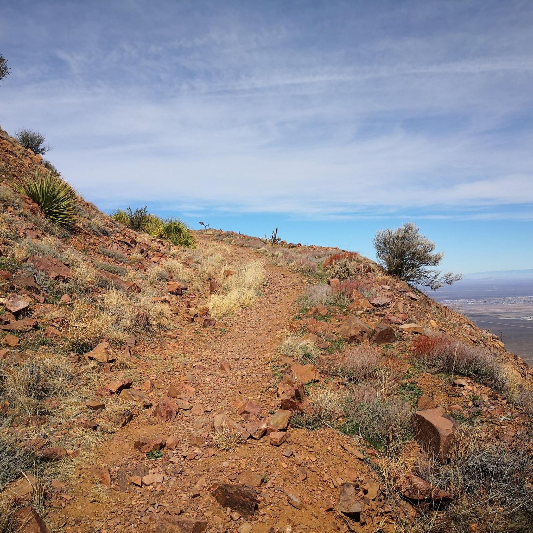
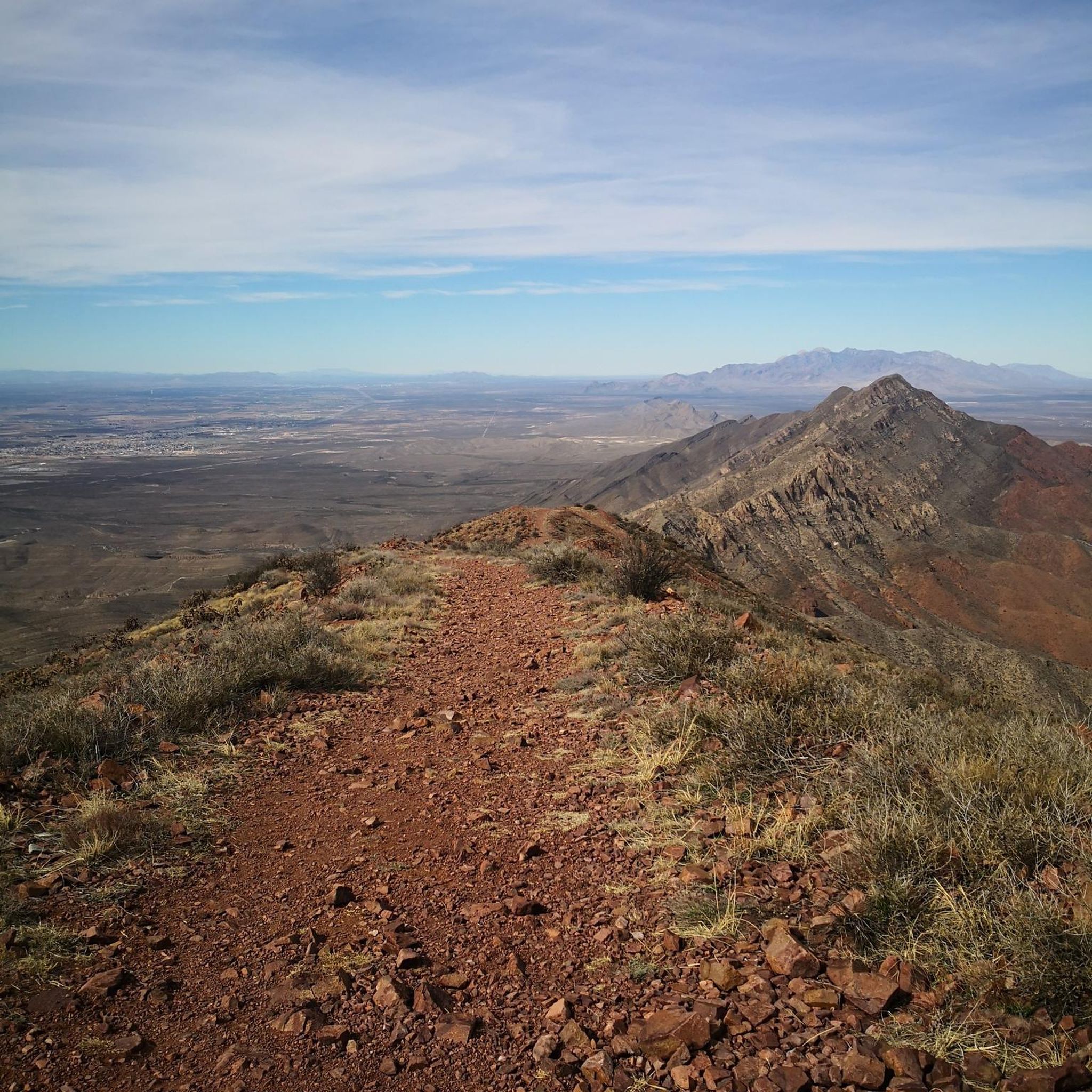
At an elevation of 7,192 feet, North Franklin Mountain is the highest peak in the Franklin Mountains. Couple that statistic with the fact that the route to gain the peak is a little less burly than the route to South Franklin, and you have a recipe for a busier trail. You still probably won't see a ton of other runners and hikers once you make it up to the ridge.
0
0
The Thousand Steps Trail is a popular hiking trail on the outskirts of Franklin Mountains State Park. It's easy to connect this trail to other nearby trails to make it a longer run. It's a rocky trail but easy to follow. It's definitely steep in places so be ready for some steep uphill hiking and steep descents!
0
0
The Thousand Steps Trail is a popular hiking trail on the outskirts of Franklin Mountains State Park. It's easy to connect this trail to other nearby trails or just do it as a standalone hike. It's a rocky trail but easy to follow. It's definitely steep in places so only go uphill if you feel comfortable doing the same trail downhill!
0
0

The intersection for the trail to the North Franklin Mountain Summit is marked by a sign. North Franklin Mountain is the highest point in El Paso County. You can choose to continue on, or turn back toward the trailhead at this point. The Mundy's Gap trail provides a great opportunity to view the eastern and western sides of the Franklin Mountains and native desert vegetation without being strenuous.
0
0
The summit of North Franklin Mountain is the highest point in El Paso County at an elevation of 7,192 ft (2,192 m) above sea level. From the top, hikers and climbers enjoy views of the stunning desert scapes of Texas, New Mexico, and northern Mexico.
0
0

No lip headed downhill, 3” lip headed uphill. Lots of fun
0
0

Frequently Asked Questions
How many hiking trails are available in El Paso County?
El Paso County offers nearly 30 hiking routes, catering to various skill levels. You'll find a diverse range of options, from easy strolls to more challenging climbs through the desert landscape.
What types of terrain can I expect on hikes in El Paso County?
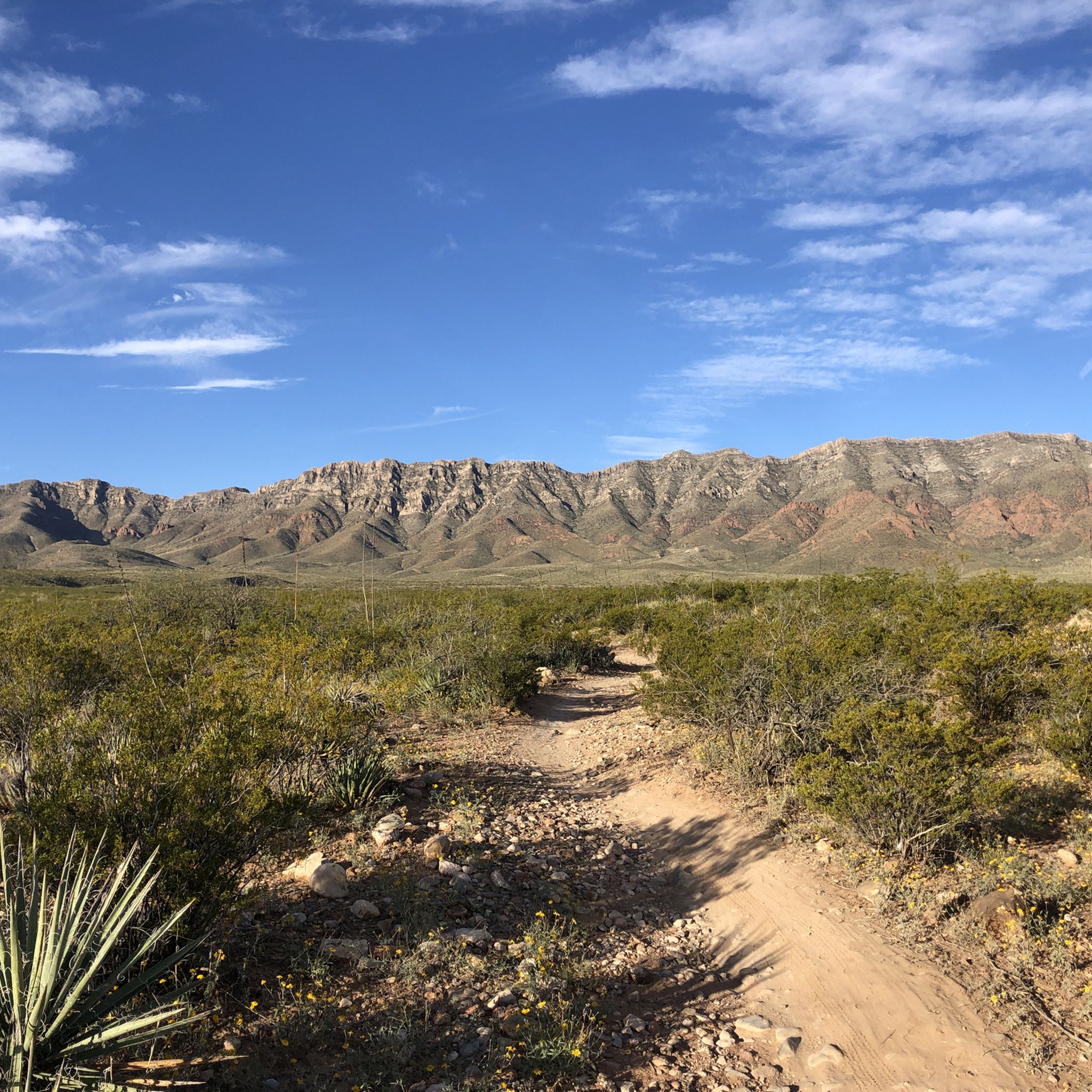
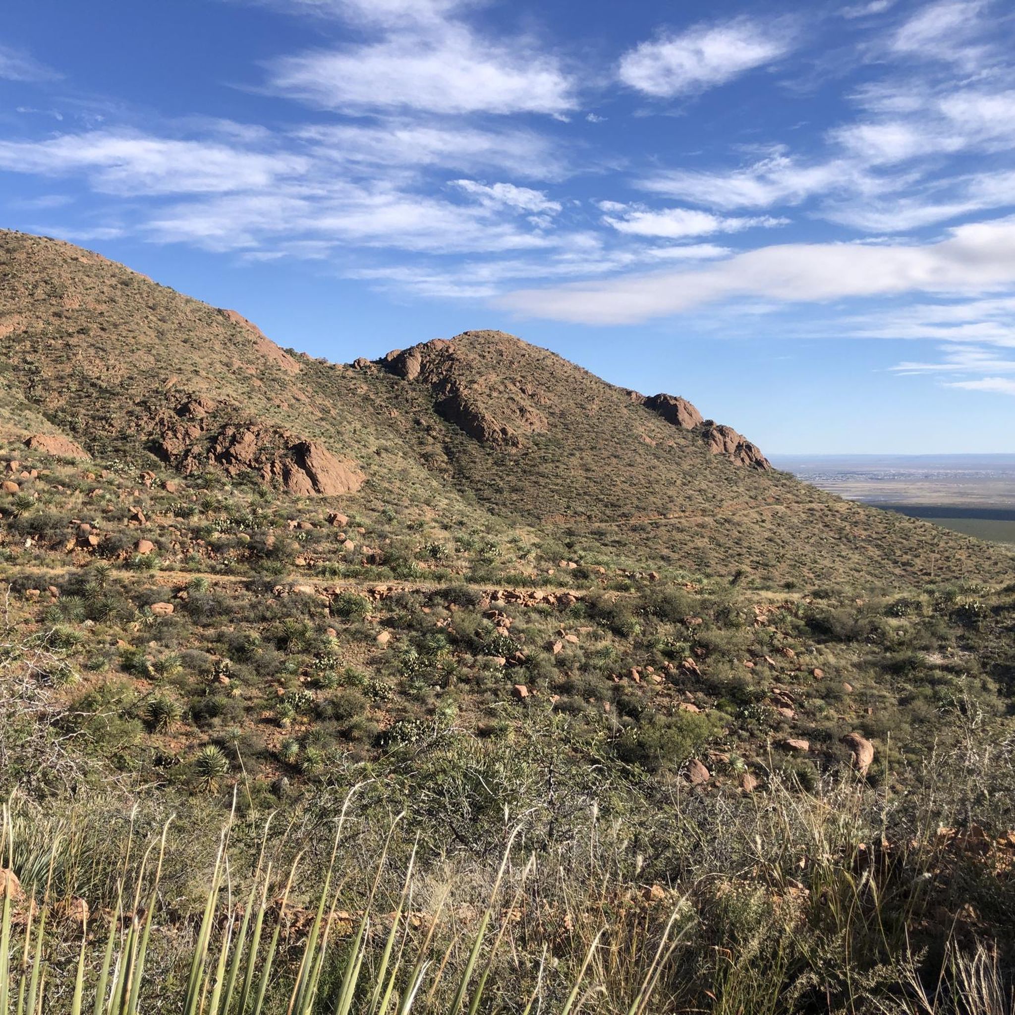
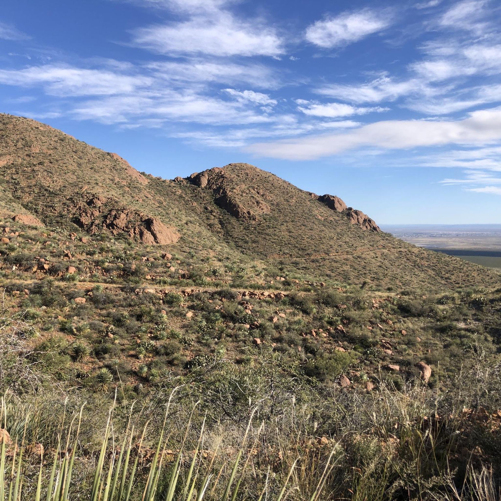
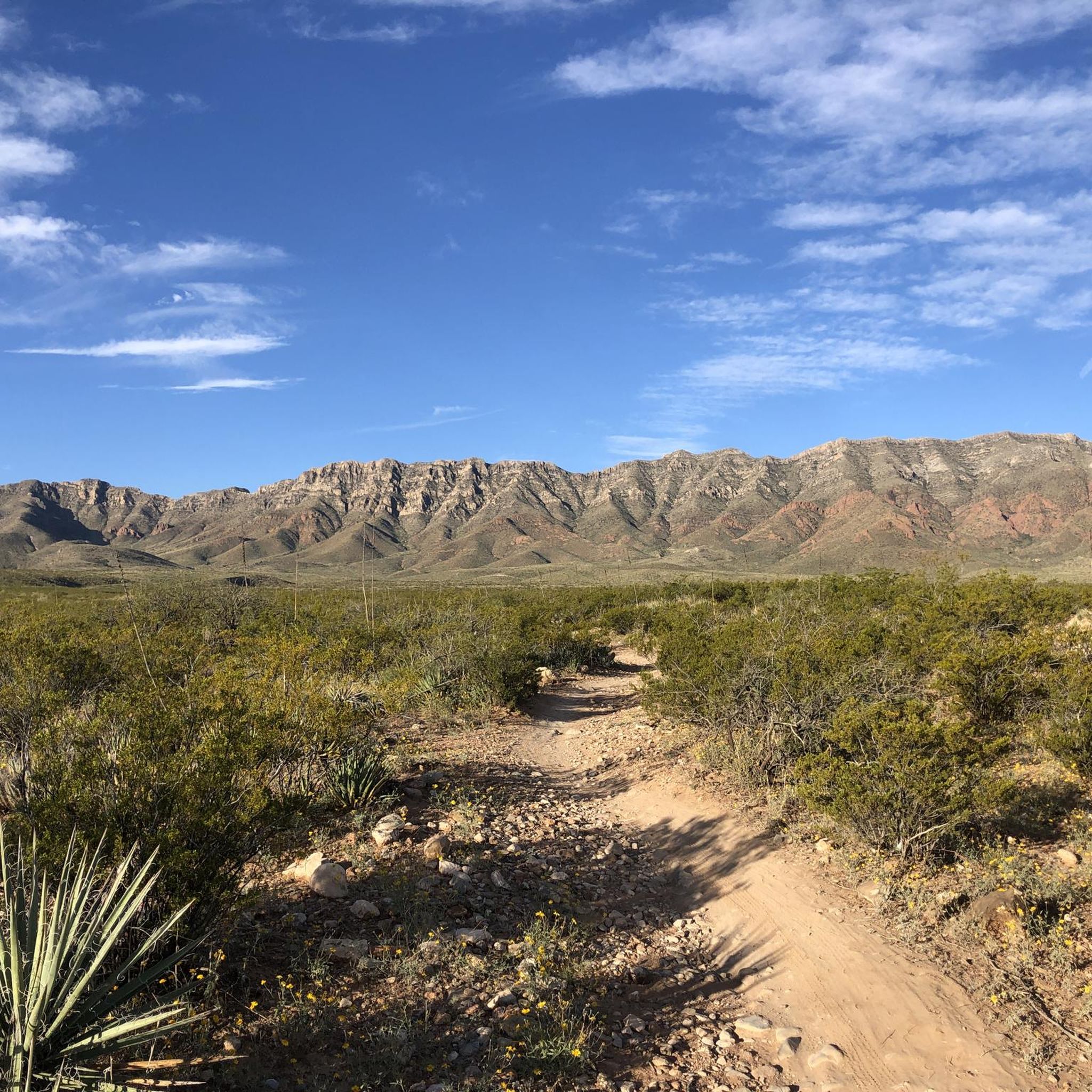
Hiking in El Paso County is primarily defined by the rugged desert terrain of the Franklin Mountains. You'll encounter unique rock formations, desert vegetation like cacti, and rocky hills. Some trails also offer views of the Rio Grande River and lead through rare wetland ecosystems.
Are there any easy, family-friendly trails in El Paso County?
Yes, El Paso County has several easy trails suitable for families. For instance, the Ascarate Lake Loop is a relatively flat path around the lake, ideal for a relaxed walk. The Thousand Steps Trail loop in Franklin Mountains State Park is also rated as easy and offers scenic views.
What are some challenging hikes for experienced trekkers?
For those seeking a challenge, the North Franklin Mountain Summit trail offers significant elevation gain and panoramic views. Another demanding option is the South Franklin Mountain via Ron Coleman Trail, known for its strenuous ascent.
What is the best time of year to go hiking in El Paso County?
El Paso, known as 'Sun City,' enjoys around 200 days of sunshine annually, making it suitable for year-round hiking. The mild climate and warm temperatures are ideal for outdoor exploration, though cooler months might be more comfortable for longer, more strenuous hikes.
Are there any trails that offer historical points of interest?
Absolutely. The El Paso Tin Mines Trail leads to the site of America's only former operating tin mines, offering a unique blend of historical exploration and desert views. Additionally, areas like Hueco Tanks State Park & Historic Site provide insights into ancient cultures with pictographs and unique rock formations.
Can I find any circular hiking routes in the area?
Yes, there are several loop trails available. The Thousand Steps Trail loop in Franklin Mountains State Park is a popular choice. Another option is the Ranger Peak Loop via Thousand Steps Trail, offering a more extensive circular experience.
What are some notable landmarks or attractions I can see while hiking?
Many trails offer access to significant landmarks. You can hike to the South Franklin Mountain summit or Ranger Peak for stunning views. The Thousand Steps Trail and McKelligon Canyon Road are also popular points of interest within the Franklin Mountains State Park. Don't miss the Aztec Cave or the historic Tin Mines.
What do other hikers enjoy most about El Paso County trails?
The trails in El Paso County are highly rated by the komoot community, with an average score of 4.5 stars. Reviewers often praise the stunning desert landscapes, panoramic mountain views, and the unique experience of hiking through rugged wilderness with diverse desert vegetation.
Are there any trails suitable for birdwatching or nature observation?
Yes, the Rio Bosque Wetlands Park offers smooth walking paths along the river, making it an excellent spot for nature hikes and birdwatching. This rare desert wetland is home to diverse bird species and native plants, providing a unique ecological experience.
Are there any trails that offer views of the Rio Grande River?
Yes, the Rio Grande Riverpark and Trail System features paved multi-use trails directly along the river. These trails provide scenic views of the water and the distant Franklin Mountains, offering a different perspective of the region's natural beauty.
What is the typical duration for a moderate hike in El Paso County?
Moderate hikes in El Paso County can vary in duration depending on the specific trail and your pace. For example, the Mundy's Gap Trail, a 4.1-mile path, typically takes about 1 hour 45 minutes to complete. Longer moderate trails like the Lost Dog Trail, at 6.3 miles, usually take around 2 hours 50 minutes.
Most popular routes in El Paso County
Most popular attractions in El Paso County

Get inspired with the komoot mobile app


Didn’t find what you were looking for?
Check out more Hikes throughout El Paso County below and find the perfect route in your destination.
Explore more
Browse the best Hikes in other regions.
