5.0
(1)
40
riders
10
rides
Touring cycling in Tulare County offers diverse terrain, from the valley floor to the high Sierra Nevada mountains. The region is characterized by ancient giant sequoia groves within Sequoia and Kings Canyon National Parks, providing unique cycling backdrops. Cyclists can navigate challenging mountain roads with significant elevation changes or explore more gentle routes along rivers and through valley oak riparian forests. This varied landscape provides a range of experiences for touring cyclists.
Last updated: June 23, 2026
4
riders
76.5km
06:40
2,520m
1,050m
Embark on the Generals Highway Scenic Drive for a challenging touring cycling adventure through Sequoia National Park. This route takes you through dramatic terrain, allowing you to cycle among majestic giant sequoia groves, home to some of the world's largest trees. The journey covers 47.5 miles (76.5 km) with a significant elevation gain of 8283 feet (2525 metres), making it a difficult ride that typically takes around 6 hours and 40 minutes.
Planning your trip requires attention to seasonal conditions; the highway north of Lodgepole often closes for winter due to snow, usually from January until late March. There is a park entrance fee for cyclists, so be prepared for that. You should also be ready for a substantial climb, especially on Highway 198, which features numerous hairpins and switchbacks.
The route begins in the foothills, winding past orchards and Lake Kaweah before ascending into the dense giant forests. Along the way, you can experience highlights like Tunnel Rock and consider a short detour to Moro Rock for panoramic vistas. This drive is renowned for its unique natural environment and the opportunity to witness the sheer scale of the sequoias up close.
28
riders
43.1km
03:05
880m
880m
If you're after a touring cycling route that delivers big on both challenge and scenery, the Grant Grove Visitor Center & Hume Lake loop is a top contender. This difficult 26.8-mile (43.1 km) ride takes you through the heart of Kings Canyon National Park, past towering giant sequoias and offering expansive views from points like McGee Vista Point. Expect a significant workout with 2884 feet (879 metres) of elevation gain, typically completed in around 3 hours and 5 minutes, making it a serious undertaking for fit cyclists.
To tackle this loop, start at the Grant Grove Visitor Center, where parking is readily available. Remember that a park entrance fee is required before you hit the road. The best time to experience this route is from spring through fall, when the weather is most cooperative and the roads are clear, allowing for optimal cycling conditions.
Beyond the natural beauty, you'll encounter Hume Lake, a serene, man-made lake notable for being held back by the world's first concrete-reinforced multiple-arch dam. This route offers a deep dive into the unique ecosystem and dramatic geological formations of the Giant Sequoia National Monument, making it a truly memorable journey for those who appreciate both natural wonders and historical engineering.

Sign up for free
21.6km
01:35
410m
410m
The Bear Hill and Moro Rock Loop Trail offers a stunning immersion into Sequoia National Park's grandeur, winding through groves of giant sequoia trees and past granite monoliths. While listed as a touring cycling route, be aware that the iconic Moro Rock ascent involves a significant staircase, making the full 13.4 miles (21.6 km) loop impractical for traditional bikes. Expect a moderate challenge with 1334 feet (407 metres) of elevation gain, taking around 1 hour and 35 minutes if you were able to cycle it continuously, but plan for dismounting and carrying your bike for the Moro Rock section.
Planning your visit requires acknowledging the trail's mixed terrain, including paved and unpaved sections, and the critical fact that the Moro Rock stairs make it impassable for bikes. This means cyclists will need to dismount and carry their bikes for a substantial portion. Always check the Sequoia National Park website for current conditions, as access can change, and be prepared for a hike rather than a full ride if you intend to reach Moro Rock's summit.
This trail is notable for its incredible natural beauty and the opportunity to experience the towering giant sequoias up close, alongside the panoramic vistas from Moro Rock. It provides a unique perspective on the Great Western Divide and the diverse ecosystems of the park. While not ideal for a continuous touring cycling experience, it's a fantastic option for those seeking a varied adventure combining cycling with a challenging hike to a rewarding viewpoint.
3
riders
52.9km
04:18
1,620m
1,620m
Embark on a truly challenging touring bicycle adventure through Sequoia National Park on the Giant Forest via General Road. This difficult route spans 32.9 miles (52.9 km) and demands a significant 5306 feet (1617 metres) of elevation gain, typically taking around 4 hours and 17 minutes to complete. As you pedal, you will navigate numerous switchbacks and immerse yourself in groves of ancient giant sequoias, including the monumental General Sherman Tree, feeling the air cool and the earthy aroma deepen around you.
Before you set out, be ready for one of California's most scenic yet demanding bike climbs, which means preparing for substantial elevation changes and varying temperatures. While the General's Highway generally offers a good surface, traffic can be heavy within the park, though it usually moves at a slow pace. Keep in mind that some sections of the route might be unpaved or particularly difficult, potentially requiring you to dismount and push your bike.
This route offers a unique opportunity to cycle among the largest living things on Earth, providing an immersive experience within the Giant Forest. The journey transforms from craggy mountaintops to shaded alpine territory, showcasing the park's diverse landscape. It is a remarkable way to connect with the natural environment and witness the awe-inspiring scale of these ancient giants up close.
1
riders
9.77km
00:40
130m
130m
Embark on the Bear Hill and Moro Rock Loop Trail, a route officially designated for touring cycling, though it's primarily enjoyed by hikers due to its varied terrain. This easy 6.1-mile (9.8 km) loop takes you through a landscape dotted with giant sequoia trees and lush meadows, offering a serene natural experience. You'll navigate wide dirt tracks on Bear Hill before reaching the iconic Moro Rock, where you can climb 300 to 350 steps to a breathtaking viewpoint. The entire journey, including the climb, typically takes about 39 minutes to complete, with an elevation gain of 443 feet (135 metres).
When planning your visit, be aware that while the trail is listed for touring cycling, bicycles are generally prohibited on hiking trails within Sequoia National Park. Cycling is mostly restricted to paved roads like the Generals Highway. If you intend to hike, the park is accessible, but it's always wise to check for any seasonal closures or specific park regulations before you go. Consider visiting during off-peak hours to fully appreciate the tranquility of the sequoia groves and the panoramic views from Moro Rock.
This trail offers a unique opportunity to connect with the natural environment of Sequoia National Park, providing stunning panoramic views of the Great Western Divide and the surrounding Sierra Nevada mountains from Moro Rock. The presence of ancient giant sequoia trees makes this area particularly special, showcasing the immense scale and beauty of these natural wonders. It's a chance to experience the park's iconic features and understand why this region is celebrated for its majestic landscapes and unique ecosystem.
1
riders
28.3km
02:04
470m
470m
Embark on a demanding touring cycling adventure along Big Meadows Road, a difficult 17.6-mile (28.3 km) route that climbs 1544 feet (471 metres) over approximately 2 hours and 3 minutes. This ride takes you through the scenic Blue Ridge Mountains, offering expansive views from Skyline Drive and the chance to spot wildlife like deer and black bears in the vast grasslands of Big Meadows. The terrain features significant, sustained climbs and sweeping descents, making it a rewarding challenge for experienced cyclists.
Planning your visit to Big Meadows Road means heading into Shenandoah National Park, where Big Meadows itself is a central point at Milepost 51 on Skyline Drive. You'll find the Byrd Visitor Center, Big Meadows Lodge, and a campground, providing essential amenities. While specific parking details for this route aren't highlighted, the area is well-equipped for visitors. Always ensure your bike is ready for the demanding climbs and carry sufficient water, especially during peak season.
Big Meadows is renowned as a biodiversity hotspot, with a rich variety of plants and wildflowers, making it a vibrant ecosystem to cycle through. Beyond the cycling, the area serves as a trailhead for several hiking options, including routes to waterfalls like Dark Hollow Falls, offering a broader experience of the park's natural wonders. The mix of challenging cycling and natural beauty makes this a standout route in the region.
1
riders
9.77km
00:36
100m
100m
Embark on the Kaweah River loop for an easy touring cycling experience that traces the scenic river. As you pedal, you will enjoy constant views of the Kaweah River's flow, originating from the impressive Great Western Divide. The route takes you through a diverse landscape near Three Rivers, transitioning from foothills to lush oak woodlands and chaparral. Keep an eye out for picturesque ridgelines and sweeping panoramic vistas of the Sierra Nevada peaks surrounding you. This easy 6.1-mile (9.8 km) ride involves a gentle ascent of 334 feet (102 metres) and can be completed in about 36 minutes, making it perfect for a quick outing.
To begin your touring cycling adventure, head to the area near Three Rivers, California, which provides convenient access to the Kaweah River. You will find parking generally available within the Three Rivers vicinity, making it straightforward to start your ride. This accessibility ensures a hassle-free beginning to your journey. Before you set out, always make sure to check local conditions, especially concerning weather or any potential road advisories, to ensure a smooth and enjoyable experience. The short duration of the loop means you can easily fit it into your day, whether you prefer a morning spin or an afternoon excursion.
This touring cycling route stands out as a great option for a quick ride near Three Rivers, California, offering a unique blend of natural beauty and accessibility. The area's diverse landscape, from foothills to chaparral, provides a rich ecological backdrop to your journey. You will appreciate how the route allows you to immerse yourself in the natural environment without requiring a significant time commitment. It serves as an excellent introduction to the scenic wonders of the region, providing a taste of the Sierra Nevada's grandeur.
29.0km
02:14
770m
770m
Embark on a challenging touring bicycle adventure along the Mineral Road to Mineral King Valley, a difficult 18.0 miles (29.0 km) route that demands significant effort. You will ascend a formidable 2525 feet (770 metres) in elevation, with an estimated duration of 2 hours and 13 minutes. The journey offers a dramatic shift in scenery, taking you from lower chaparral and oak woodlands into expansive alpine views, eventually leading to the stunning Mineral King Valley with its open meadows and towering 11,000-foot granite peaks.
Planning your ride requires careful consideration, as the Mineral King Road is typically open only from Memorial Day weekend through October, closing for winter due to heavy snow. Be prepared for a narrow and rough road, which includes unpaved sections; a gravel bike is often a better choice than a traditional road bike for this terrain. Due to the demanding nature of the road, larger vehicles like RVs and trailers are not recommended for this route.
This unique touring bicycle experience provides a distinct perspective on the vast Sequoia-Kings Canyon Wilderness. As you climb, you will pass through impressive groves of giant sequoias, including the notable Atwell Grove, before reaching the high-elevation valley. The route culminates in the serene Mineral King Valley, where the East Fork of the Kaweah River winds through picturesque meadows, surrounded by the majestic granite peaks of the Sierra Nevada.
63.5km
04:40
1,480m
1,480m
Embark on a truly immersive cycling journey through the Sierra Nevada with the Dunlap Road & East Kings Canyon Road loop. This difficult touring bicycle route takes you deep into Kings Canyon National Park, offering a raw and untamed experience. You'll navigate a dramatic descent into the canyon, then face a substantial climb out, all while surrounded by towering granite walls, ancient Giant Sequoia groves, and the majestic Kings River. Keep an eye out for the East Kings Canyon Viewpoint, providing breathtaking panoramas of the vast glacial valley.
Planning your ride requires a bit of foresight, as the Kings Canyon Scenic Byway (Highway 180) has been known to close due to damage. Always verify current road conditions before heading out, especially if you're aiming for the best time to cycle Kings Canyon, which is typically outside of winter. This 39.5-mile (63.5 km) loop, with its 4849 feet (1478 metres) of elevation gain, demands very good fitness and will take around 4 hours and 39 minutes to complete.
This route stands out for its unique combination of challenging cycling terrain and access to iconic natural wonders, making it one of the premier cycling routes Kings Canyon National Park has to offer. You'll experience the grandeur of the Sierra Nevada up close, cycling through diverse landscapes that showcase the park's immense scale and beauty. It's an advanced cycling challenge that rewards your effort with unparalleled scenery and a deep connection to this powerful natural environment.
35.5km
02:29
700m
700m
Cycle through the heart of Sequoia National Park on the Lodgepole Visitor Center to Lost Grove via Generals Highway route, a difficult 22.1-mile (35.5 km) touring cycling adventure. You'll gain 2302 feet (702 metres) over approximately 2 hours and 28 minutes, winding through dense forests and dramatic landscapes. The highlight is undoubtedly cycling among the monumental giant sequoias near Lost Grove, offering an intimate experience with these ancient trees.
To make the most of this challenging ride, plan to start early from the Lodgepole Visitor Center, which provides convenient amenities like a market. This helps avoid heavier traffic, especially during peak seasons. Be prepared for continuous elevation changes and some very curvy, narrow sections of the Generals Highway.
This route is celebrated as one of California's most scenic bike climbs, offering direct access to the majestic giant sequoias. It's a fantastic option for experienced cyclists looking for a significant physical challenge combined with breathtaking natural beauty, traversing an iconic part of the park.
Our route recommendations are based on thousands of hikes, rides, and runs completed by other people on komoot.
Start today with a free account
Your next adventure awaits.
Login or Signup
Popular around Tulare County
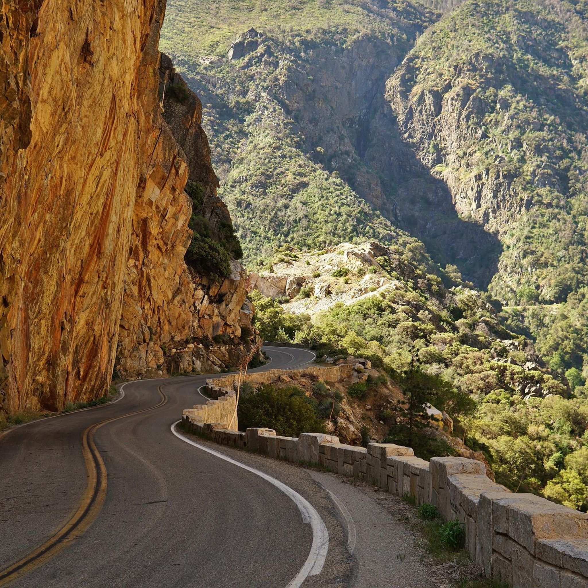
Cycling in Sequoia National Forest
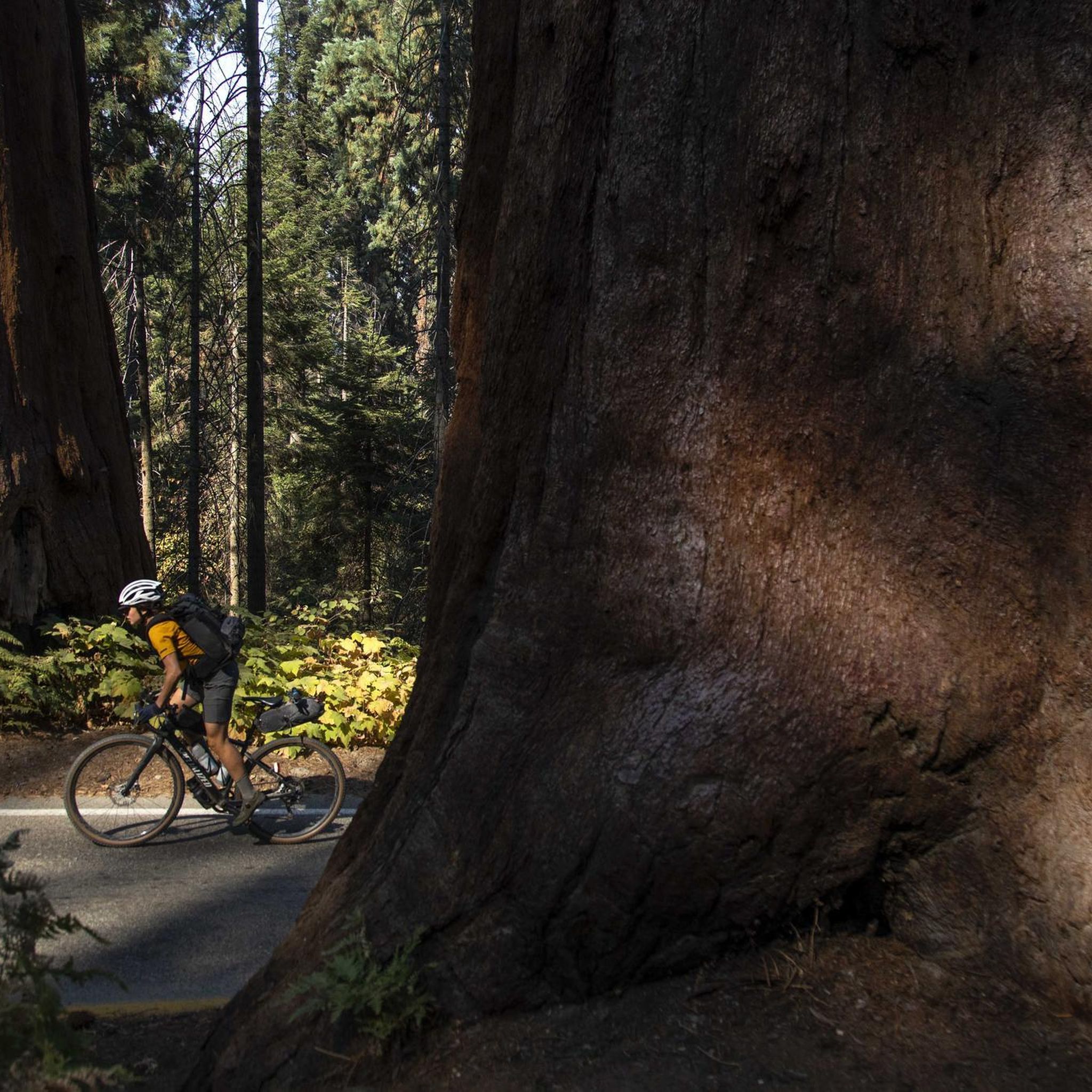
Cycling in Sequoia National Park

Cycling in Milk Ranch-Case Mountain Wilderness Study Area
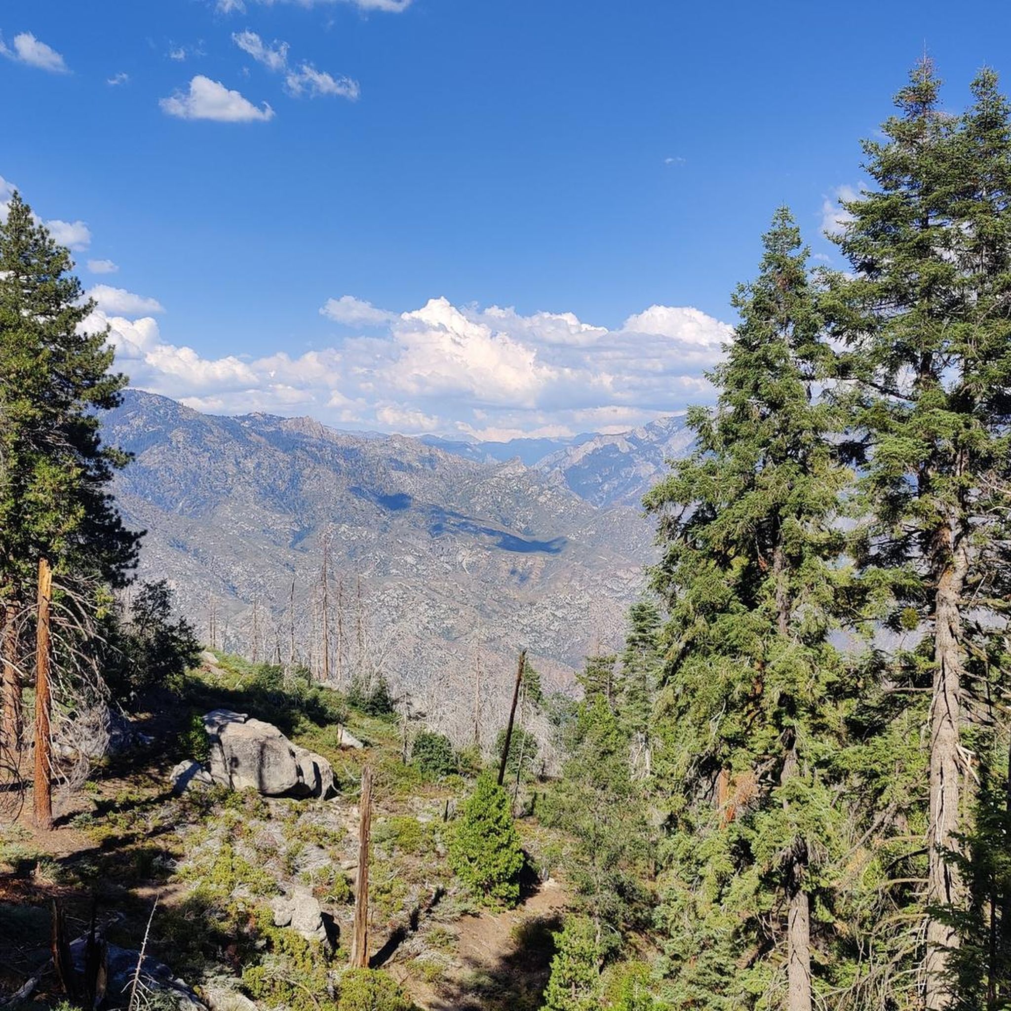
Cycling in Giant Sequoia National Monument

John Muir Trail – Along the legendary trail through the magical Sierra Nevada
Pacific Crest Trail from Mexico to Canada – 4,200 kilometres of wilderness
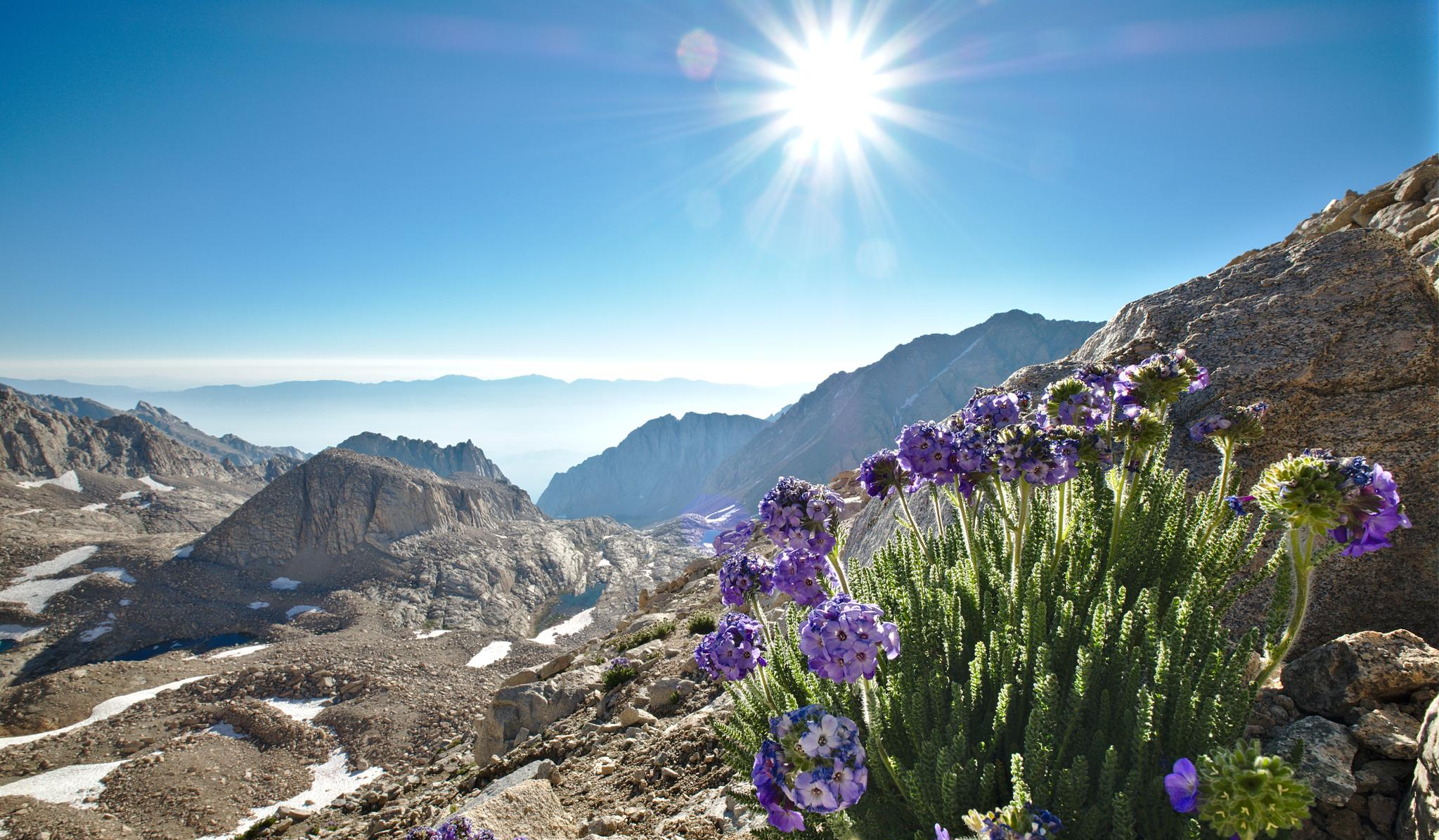
The High Sierra Trail — The Ultimate Sierra Experience

The pristine beauty of the US National Parks
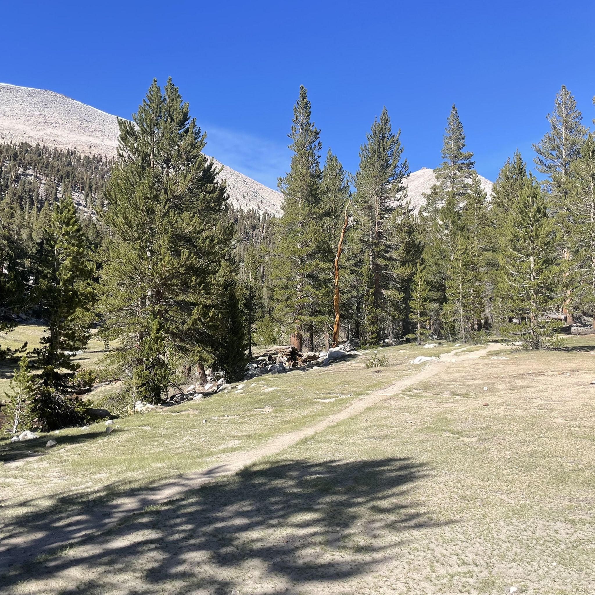
Hiking in Tulare County
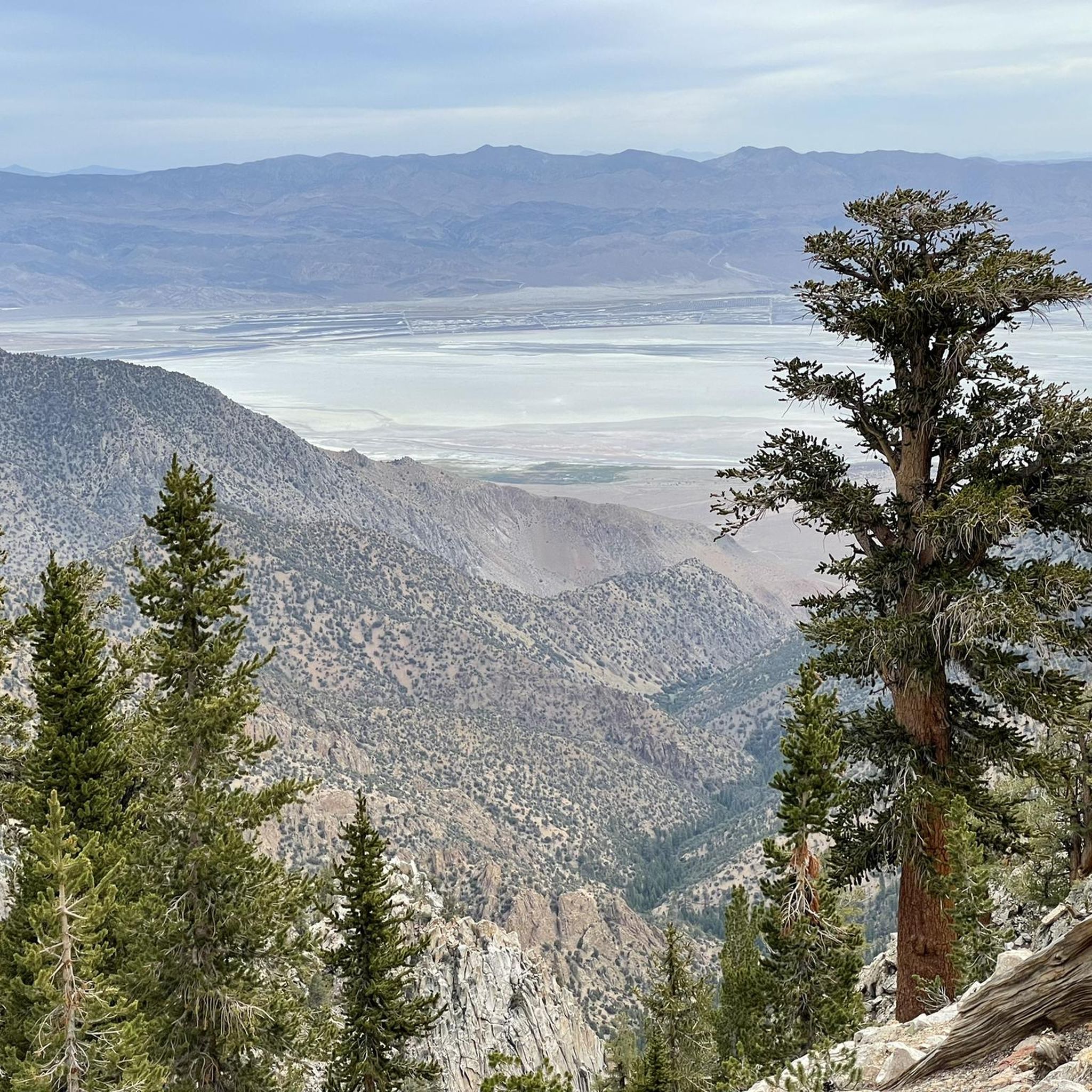
Running Trails in Tulare County
One of the most beautiful and impressive hikes I have ever done.
0
0
This 10-site campground offers a mix of primitive and glamping sites. You can bring your own tent, or stay in one of their bell tents. Being close to the entrance to Sequoia means it can book out so make your reservations early.
0
0
The Kaweah River flows out of the High Sierra towards the San Joaquin Valley, where it splits into multiple streams across an alluvial plain. With its headwaters at 13,000 feet the river falls nearly 2.5 vertical miles across its length, making it one of the steepest drainages in the USA.
0
0
Three Rivers is a small town that gets its name from the three branches of the Kaweah River that converge nearby. It's located near the entrance of Sequoia and Kings Canyon National Parks, and visitors to the town are mainly drawn in by these parks.
0
0
Sunset Meadow Road leads to the Rowell Meadow Trailhead, and from there you'll have the entire Sierra Nevada Range as you playground. A multitude of trails can take you to Kings Canyon and/or Sequoia National Parks, through the Jennie Lakes Wilderness, and to countless alpine lakes. Just be aware that bikes are not allowed on the trails, but this is a good location for a fully human powered excursion.
0
0
Big Meadows Road is a quiet, narrow road that provides access to a number of campgrounds and trails. You can ride it as an out and back, or take your pick of a number of Forest Service roads that are dotted along its length.
0
0
Big Meadows Trailhead is a good staging area for exploring this region of the park. There's parking and a drop toilet, but no drinking water. The road here is subject to weather related closures, so be sure to check conditions before heading out.
0
0
The Marble Fork is one of four such forks that make up the Kaweah River. Though the river proper only runs for 36 miles, its total length including all forks is over 100 miles. Also, with a vertical drop of nearly two and a half miles, 4.0 km, it is one of the steepest drainages in the US.
0
0
Tulare County offers a diverse selection of touring cycling routes. Our guide features 10 curated routes, ranging from easy to difficult, ensuring options for various skill levels.
You can expect a wide variety of terrain. Routes range from challenging mountain roads with significant elevation changes in the Sierra Nevada, such as the Generals Highway Scenic Drive, to more gentle rides through riverine landscapes and valley oak riparian forests, like the Kaweah River loop. Many routes also pass through iconic giant sequoia groves.
Yes, there are easy touring cycling routes available. For instance, the Kaweah River loop is an easy 6.1-mile trail through riverine landscapes. Another easy option is a shorter version of the Bear Hill and Moro Rock Loop Trail, which is just under 10 miles.
Tulare County is home to breathtaking natural wonders. Many routes take you through Sequoia and Kings Canyon National Parks, where you can cycle among ancient giant sequoia trees. You might also encounter stunning mountain views, such as those from Moro Rock, or explore areas like the Kaweah Oaks Preserve, protecting unique valley oak riparian forests.
Absolutely. Tulare County offers several difficult routes with significant elevation gains. The Generals Highway Scenic Drive is a challenging 47.5-mile route through Sequoia National Park. Other demanding options include the Grant Grove Visitor Center & Hume Lake loop and the Giant Forest via General Road.
The area is highly rated by the komoot community, with an average score of 5.0 stars. Reviewers often praise the unique experience of cycling through giant sequoia groves, the challenging mountain climbs, and the diverse natural beauty, from high Sierra Nevada peaks like Mount Whitney to serene river valleys.
Yes, several routes offer a circular experience. Examples include the Grant Grove Visitor Center & Hume Lake loop, which provides scenic views around Hume Lake, and the Bear Hill and Moro Rock Loop Trail, offering a moderate loop through the park.
The best time largely depends on the elevation. Lower valley routes can be enjoyed year-round, though summers can be hot. For higher elevation routes within Sequoia and Kings Canyon National Parks, late spring through early fall (May to October) generally offers the most favorable weather and ensures roads are clear of snow. Always check current conditions before heading out, especially for mountain passes like Forester Pass.
While the primary draw is natural beauty, touring cyclists can incorporate visits to historical sites such as the Tulare County Museum, Colonel Allensworth State Historic Park, or the Historic Kingsburg Jail, which offer insights into the area's rich past and can provide interesting breaks during longer rides.
While general entry into Sequoia National Park requires a fee, specific permits for cycling are typically not needed for touring on paved roads. However, it's always advisable to check the official National Park Service website for the latest regulations, especially concerning specific areas or any potential seasonal restrictions.
Parking is generally available at visitor centers and designated trailheads within Sequoia and Kings Canyon National Parks, as well as in towns like Visalia. For specific routes, it's best to check the route details on komoot or park information for recommended starting points and parking facilities.
For those seeking longer rides, the Generals Highway Scenic Drive covers 47.5 miles, while the Dunlap Road & East Kings Canyon Road loop extends to nearly 40 miles, offering extensive cycling opportunities.


Check out more Cycling routes throughout Tulare County below and find the perfect route in your destination.
Browse the best Cycling routes in other regions.




