The best road cycling routes in Northwest Hills Planning Region
4.5
(73)
1,692
riders
202
rides
Road cycling routes in Northwest Hills Planning Region traverse a diverse landscape characterized by rolling hills, dense forests, and scenic valleys. The region features varied topography, from gently rolling terrain to more challenging mountainous areas with significant elevation gains. Numerous lakes and rivers, including Lake Waramaug and the Housatonic River, provide picturesque backdrops for rides. This combination of natural features offers road cyclists a range of experiences, from leisurely spins to routes with serious climbs.
Best road cycling routes in…
Last updated: September 27, 2026
58.0km
02:50
660m
660m
This 36.0-mile road cycling loop from Barkhamsted to Simsbury offers a moderate challenge with 2180 feet of elevation gain.
61
riders
19.9km
00:53
200m
200m
Easy road ride. Great for any fitness level. Mostly well-paved surfaces and easy to ride.

56
riders
40.9km
01:43
290m
290m
Easy road ride. Great for any fitness level. Mostly well-paved surfaces and easy to ride.
3.7
(3)
41
riders
29.9km
01:36
180m
180m
Moderate road ride. Great for any fitness level. Some segments of this route may be unpaved and difficult to ride.
25
riders
49.7km
02:27
740m
740m
Moderate road ride. Good fitness required. Mostly well-paved surfaces and easy to ride.
4.0
(1)
50
riders
Easy road ride. Great for any fitness level. Mostly well-paved surfaces and easy to ride.
45
riders
Easy road ride. Great for any fitness level. Mostly well-paved surfaces and easy to ride.
5.0
(1)
21
riders
38.1km
01:47
460m
460m
Moderate road ride. Good fitness required. Mostly well-paved surfaces and easy to ride.
16
riders
110km
05:10
1,330m
1,330m
Hard road ride. Very good fitness required. Some segments of this route may be unpaved and difficult to ride.
5.0
(2)
14
riders
51.0km
02:20
490m
490m
Moderate road ride. Good fitness required. Some segments of this route may be unpaved and difficult to ride.
Get access to more routes and recommendations from other explorers.
Already have an account?
Our route recommendations are based on thousands of hikes, rides, and runs completed by other people on komoot.
Start today with a free account
Your next adventure awaits.
Popular around Northwest Hills Planning Region
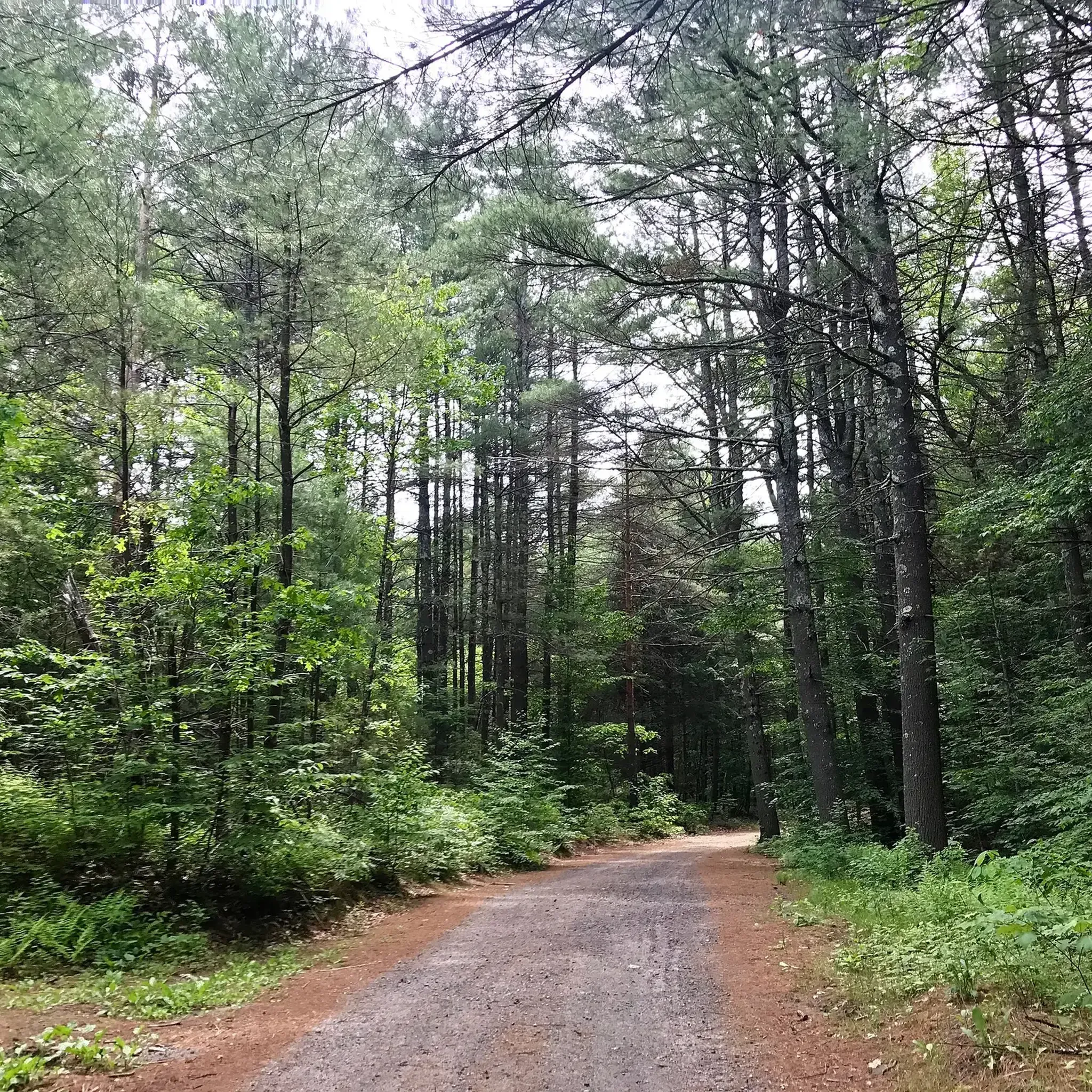
Road Cycling Routes in Nepaug State Forest
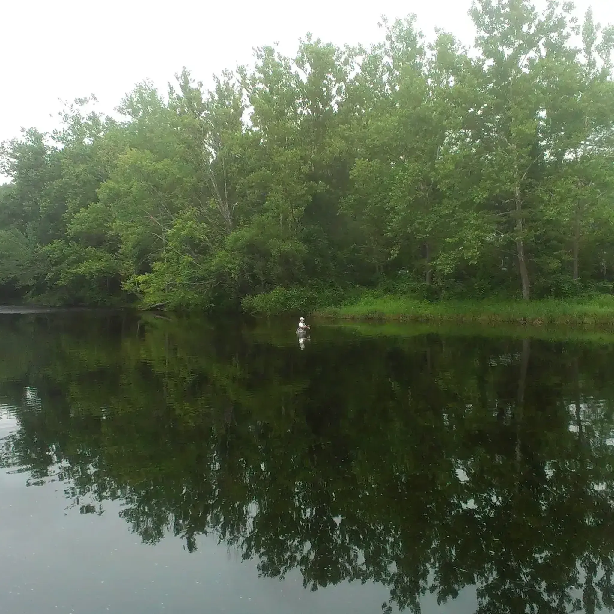
Road Cycling Routes around Pleasant Valley

Road Cycling Routes in American Legion State Forest
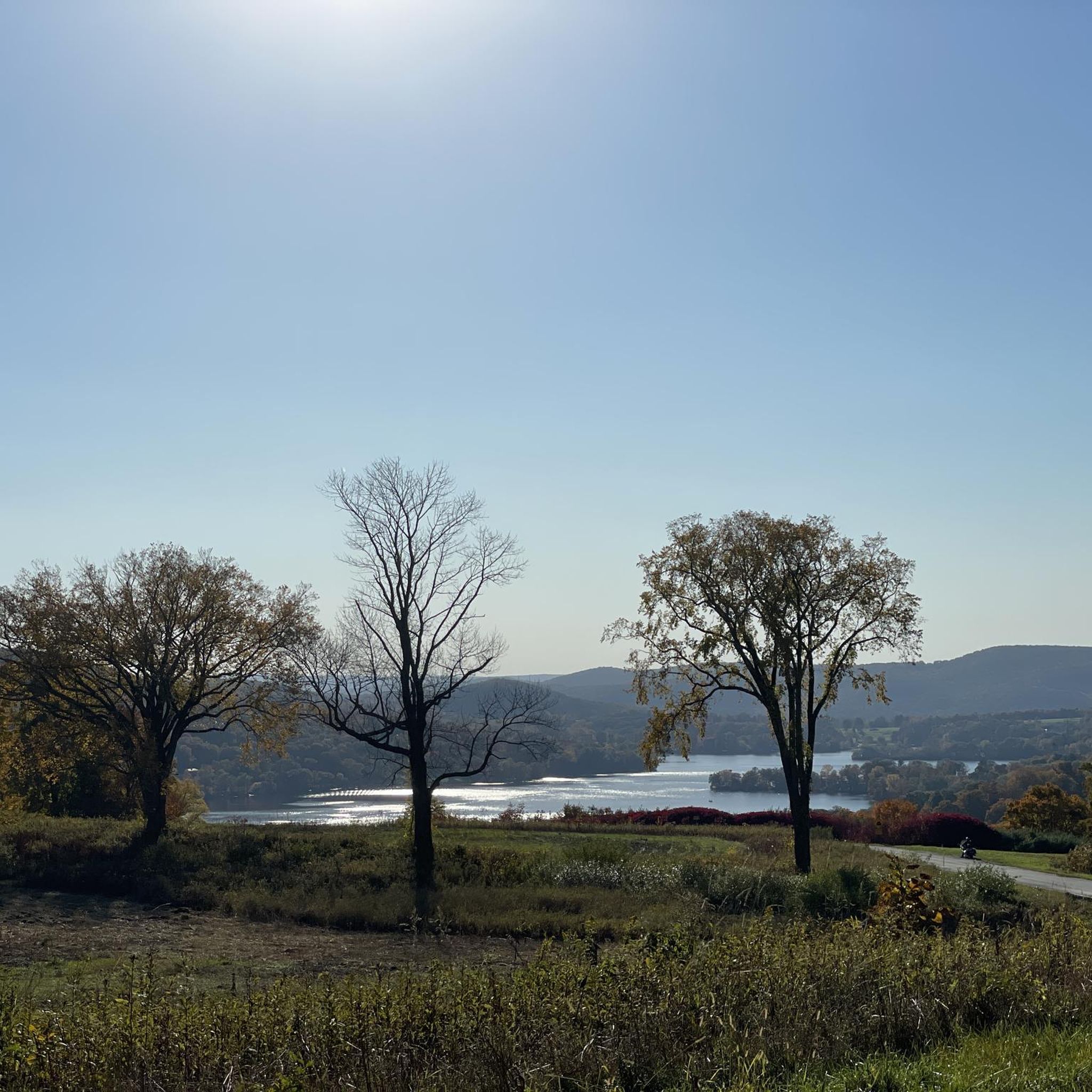
Road Cycling Routes in Mount Bushnell State Park Scenic Reserve
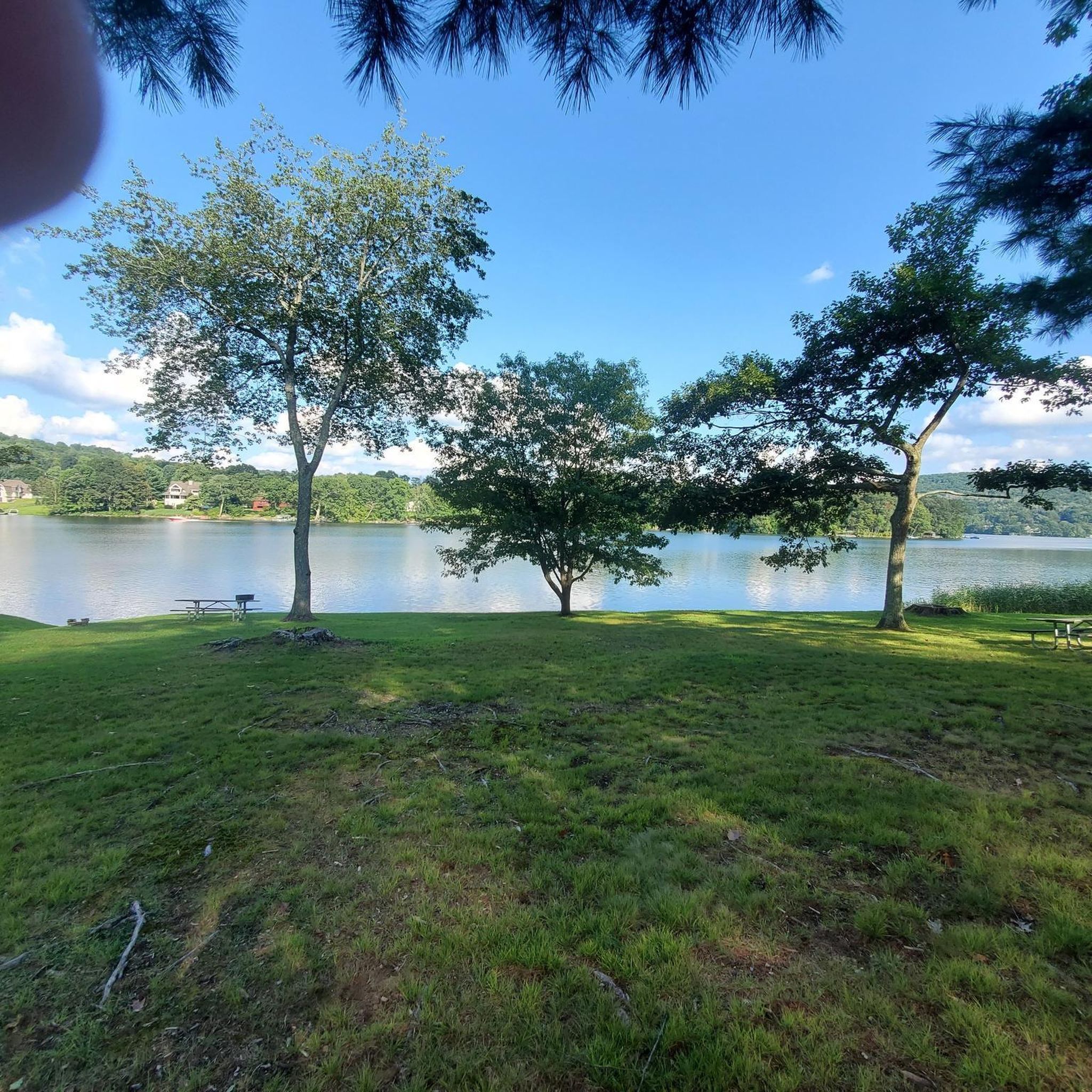
Road Cycling Routes around New Preston

Road Cycling Routes in Peoples State Forest

Road Cycling Routes around New Milford

Road Cycling Routes around New Hartford Center
Road Cycling Routes in Lake Waramaug State Park

Road Cycling Routes around Terryville
Other adventures in Northwest Hills Planning Region

Tips from the Community

The Farmington River winds through the hills and valleys of northwestern Connecticut, offering a mix of serene landscapes and lively rapids. Known for its clear waters and rich history, the river has long been a favorite for kayaking, fly fishing, and tubing. It flows through quaint towns and dense woodlands, providing both a habitat for wildlife and a peaceful retreat for locals and visitors alike. With its roots in glacial melt and centuries of human use, the Farmington tells a quiet but powerful story of nature and community.
0
0
Built in the mid-19th century, the Farmington River Railroad Bridge in Windsor, Connecticut is a remarkable example of early American engineering. With its seven stone arches and solid sandstone construction, the bridge has stood strong for over 150 years, still carrying rail traffic today. Its unique design helped it resist ice and accommodate river navigation—earning it a place on the National Register of Historic Places.
0
0

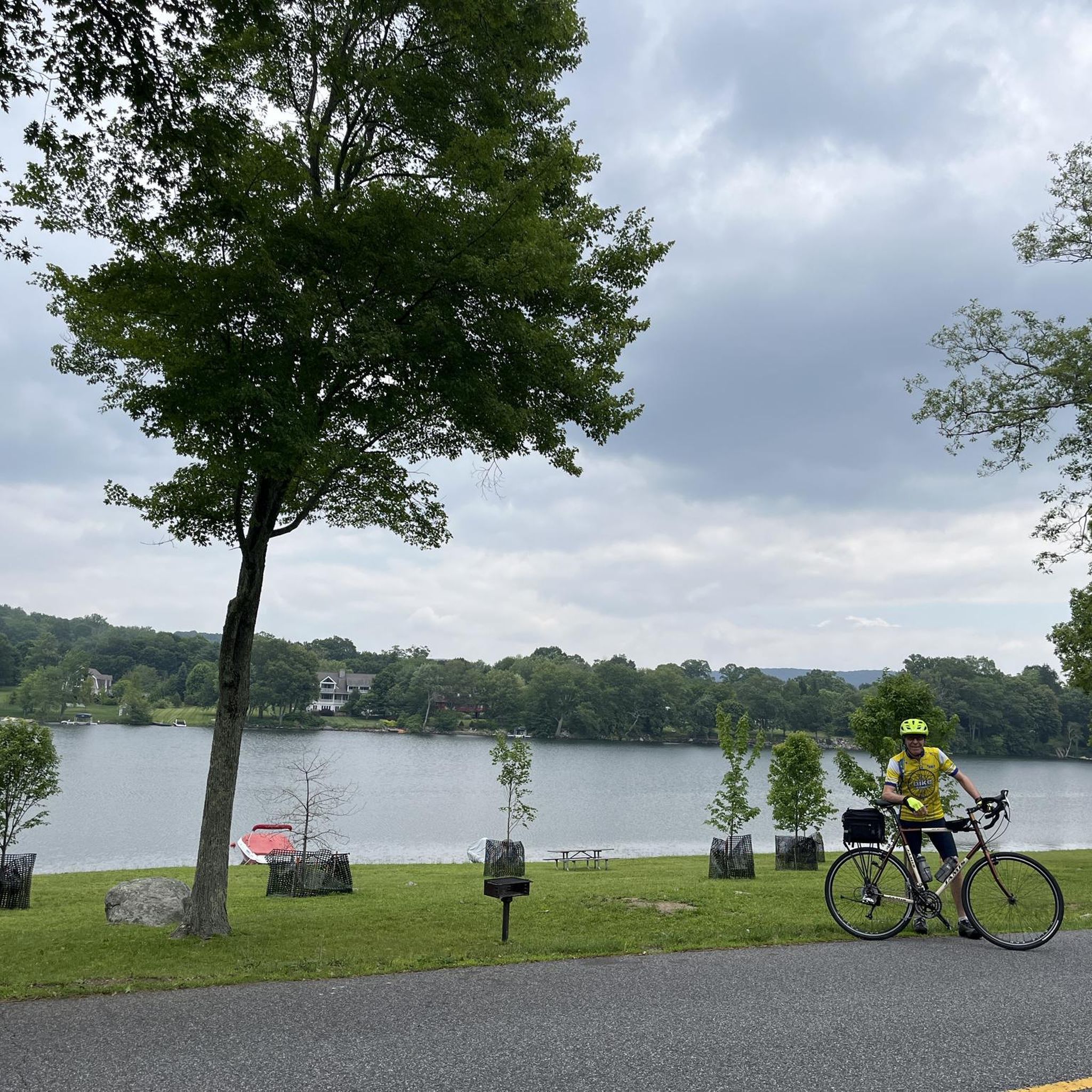
This is a tiny but highly scenic little park. The roads that circumnavigate Lake Warmaug are partially shaded and go right up to the water's edge, and the views out across the water are especially beautiful in the autumn. There is also camping, hiking, and kayaking here, as well as a couple small beaches for swimming.
0
0

This is the entrance to the path that has multiple waterfalls on it. The path that leads to the falls is not suitable for a bike, but it is worth taking a break, finding a spot to leave the bike, and walking to visit the falls.
0
0

Tuller Reservoir in the Meadow Pond area is a great fishing spot, nestled in a green area of the Appalachian Mountains. Fish species like Yellow bullhead, Largemouth Bass and Channel catfish have been caught here.
0
0

This small lake-side park comes equipped with picnic benches and plenty of trees to provide shade on a summers day. A great spot to take a break.
0
0
This is the entrance to the path that has multiple waterfalls on it. The path that leads to the falls is not suitable for a road bike, but it is worth taking a break, finding a spot to leave the bike and walking to visit the falls.
0
0
This is one of several bridges that are part of the Farmington River Trail. From this bridge, there are great views of the Farmington River.
0
0
Frequently Asked Questions
How many road cycling routes are available in the Northwest Hills Planning Region?
The Northwest Hills Planning Region offers a wide selection of road cycling routes, with over 190 routes available. These routes cater to various skill levels, from easy spins to challenging climbs.
Are there easy road cycling routes suitable for beginners in the Northwest Hills Planning Region?
Yes, the region features 15 easy road cycling routes perfect for beginners or those seeking a more relaxed ride. A great option is the Lake Waramaug State Park – Lake Waramaug loop from Marbledale, which is 12.4 miles (19.9 km) and takes about 53 minutes to complete, offering scenic lakefront views.
Where can I find more challenging or long-distance road cycling routes in the Northwest Hills Planning Region?
For experienced cyclists looking for a challenge, there are 23 difficult routes available. Consider the Topsmead State Forest – Amazing descent loop from Torrington, a demanding 111 km route with significant elevation gain, or the Stillwater Pond State Park – Naugatuck River loop from Torrington, which spans over 83 km and includes nearly 1000 meters of climbing.
Are there road cycling routes that feature lakes or rivers in the Northwest Hills Planning Region?
Absolutely. The region is known for its beautiful lakes and rivers. Many routes, like the Lake Waramaug – Lake Waramaug State Park loop from Washington, circle picturesque water bodies such as Lake Waramaug. The Housatonic River also parallels many scenic routes, offering stunning views.
What kind of scenery can I expect on road cycling routes in the Northwest Hills Planning Region?
Road cycling in this region offers diverse scenery, from gently rolling hills and expansive forests to charming small towns and farmlands. You'll encounter picturesque valleys, historic architecture, and vibrant fall foliage if you visit in autumn. Routes often provide views of significant peaks like Bear Mountain (2,320 feet).
What do other road cyclists enjoy most about road cycling in the Northwest Hills Planning Region?
The area is highly rated by the komoot community, with an average score of 4.2 stars from over 10 reviews. Cyclists often praise the varied topography, from serene lake loops to routes with serious climbs, and the beautiful, often quiet, rural roads that wind through dense forests and past charming towns.
Are there any specific landmarks or attractions I can see along road cycling routes?
Yes, the region is dotted with interesting landmarks. You might pass by the historic Bulls Bridge, the impressive Seville Dam, or cycle near Lake Waramaug State Park. The region's charming towns like Litchfield, Kent, and Cornwall Bridge also offer pleasant stops.
Are there many loop trails for road cycling in the Northwest Hills Planning Region?
Loop trails are a popular feature for road cycling in the region, allowing you to start and end in the same location. Many routes, such as the Barkhamsted to Simsbury loop or the Rudd Pond – Rail trail bridge loop from Centennial Watershed State Forest, are designed as loops, offering a complete cycling experience without retracing your path.
What is the best time of year for road biking in the Northwest Hills Planning Region?
The Northwest Hills Planning Region is particularly stunning during the fall foliage season, when the countryside transforms into a vibrant tapestry of colors, making for incredibly scenic rides. Spring and summer also offer pleasant conditions with lush greenery, though summer can be warmer. The region's varied terrain is enjoyable across multiple seasons.
Are there road cycling routes that pass through or near charming towns?
Many road cycling routes in the Northwest Hills Planning Region connect or pass through quaint villages and historic towns like Litchfield, Kent, and Cornwall Bridge. These towns often feature historic architecture and town greens, providing excellent opportunities for a break or to explore local charm. The Candy-O's Candy & Collectibles loop from Benton Hill Preserve is an example of a route that offers a mix of natural beauty and local points of interest.
Can I find routes that offer a mix of terrain, from flat sections to hills?
Yes, the Northwest Hills Planning Region is characterized by its varied topography. You'll find routes that combine gently rolling sections with more challenging ascents. For instance, the Seville Dam – Booth Hill loop from New Hartford offers a moderate challenge with significant elevation changes, providing a dynamic riding experience.
Are there any routes that are particularly known for their scenic beauty or viewpoints?
The entire region is renowned for its scenic beauty. Routes around Lake Waramaug, such as the Lake Waramaug – Lake Warmaug State Park loop from Lake Waramaug State Park, offer continuous picturesque lake views. Additionally, many routes wind through heavily forested areas and along river valleys, providing stunning natural vistas, especially during the fall.
Most popular routes in Northwest Hills Planning Region
Most popular attractions in Northwest Hills Planning Region

Get inspired with the komoot mobile app


Didn’t find what you were looking for?
Check out more Road cycling routes throughout Northwest Hills Planning Region below and find the perfect route in your destination.
Explore more
Browse the best Road cycling routes in other regions.
