The best running trails in Nevada County
5.0
(7)
765
runners
92
runs
Jogging in Nevada County offers diverse landscapes across the Sierra Nevada foothills, characterized by varied terrain from gentle slopes to challenging inclines. The region features lush forests, meandering streams, and several lakes, including Donner Lake and Scotts Flat Lake. Many running routes follow natural waterways like the South Yuba River, providing scenic views. This area provides a wide array of options for different fitness levels, from paved paths to more rugged trails.
Best jogging routes in Nevada County
- The most…
Last updated: September 27, 2026
67
runners
10.9km
01:09
80m
80m
Embark on the Donner Lake loop for a moderate jogging experience that takes you around 6.8 miles (10.9 km) of scenic terrain. You will gain 259 feet (79 metres) in…
12
runners
6.41km
00:47
120m
120m
Jog the moderate 4.0-mile Hardrock and Osborne Hill Loop Trail through historic Empire Mine State Historic Park, gaining 395 feet.

5.0
(1)
10
runners
5.16km
00:35
40m
40m
Embark on a moderate jogging route through the Donner Memorial State Park Nature Trail Loop, covering 3.2 miles (5.2 km) with a gentle elevation gain of 129 feet (39 metres).…
9
runners
7.71km
01:08
320m
320m
Embark on a challenging jogging adventure along the Mount Judah Loop Trail, a difficult route spanning 4.8 miles (7.7 km) with a significant elevation gain of 1063 feet (324 metres).…
4
runners
5.43km
00:34
20m
20m
Lace up your shoes for a refreshing jogging experience on the Truckee River Legacy Trail, a moderate 3.4-mile (5.4 km) route that follows the scenic river. You will gain a…
3
runners
14.6km
01:50
250m
250m
Jog the Scotts Flat Trail, a moderate 9.1-mile route through Tahoe National Forest with forest views and lakeside access.
3
runners
11.5km
01:24
200m
200m
Jog this moderate 7.1-mile loop in Waddle Ranch Preserve, featuring scenic Lake Ella and Martis Creek Lake views with varied terrain.
2
runners
8.37km
01:01
60m
60m
Jog the 5.2-mile Sagehen Creek Trail Loop through pine forests and meadows, enjoying wildflowers and views of Stampede Reservoir.
1
runners
8.94km
01:12
250m
250m
Jog the moderate 5.6-mile Lake Spaulding via Pioneer Trail in Tahoe National Forest, featuring waterfalls, forest, and lake views.
11.7km
01:35
350m
350m
Jogging the difficult 7.2-mile Glacier Lake Trail in Tahoe National Forest offers great views and a challenging 1159-foot climb.
Get access to more routes and recommendations from other explorers.
Already have an account?
Our route recommendations are based on thousands of hikes, rides, and runs completed by other people on komoot.
Start today with a free account
Your next adventure awaits.
Popular around Nevada County
Running Trails around Kingvale
Running Trails around Soda Springs
Running Trails around Truckee

Running Trails around Nevada City

Running Trails in South Yuba River State Park

Running Trails around Alta Sierra

Running Trails around Grass Valley

Running Trails around Rough And Ready
Hiking in Nevada County
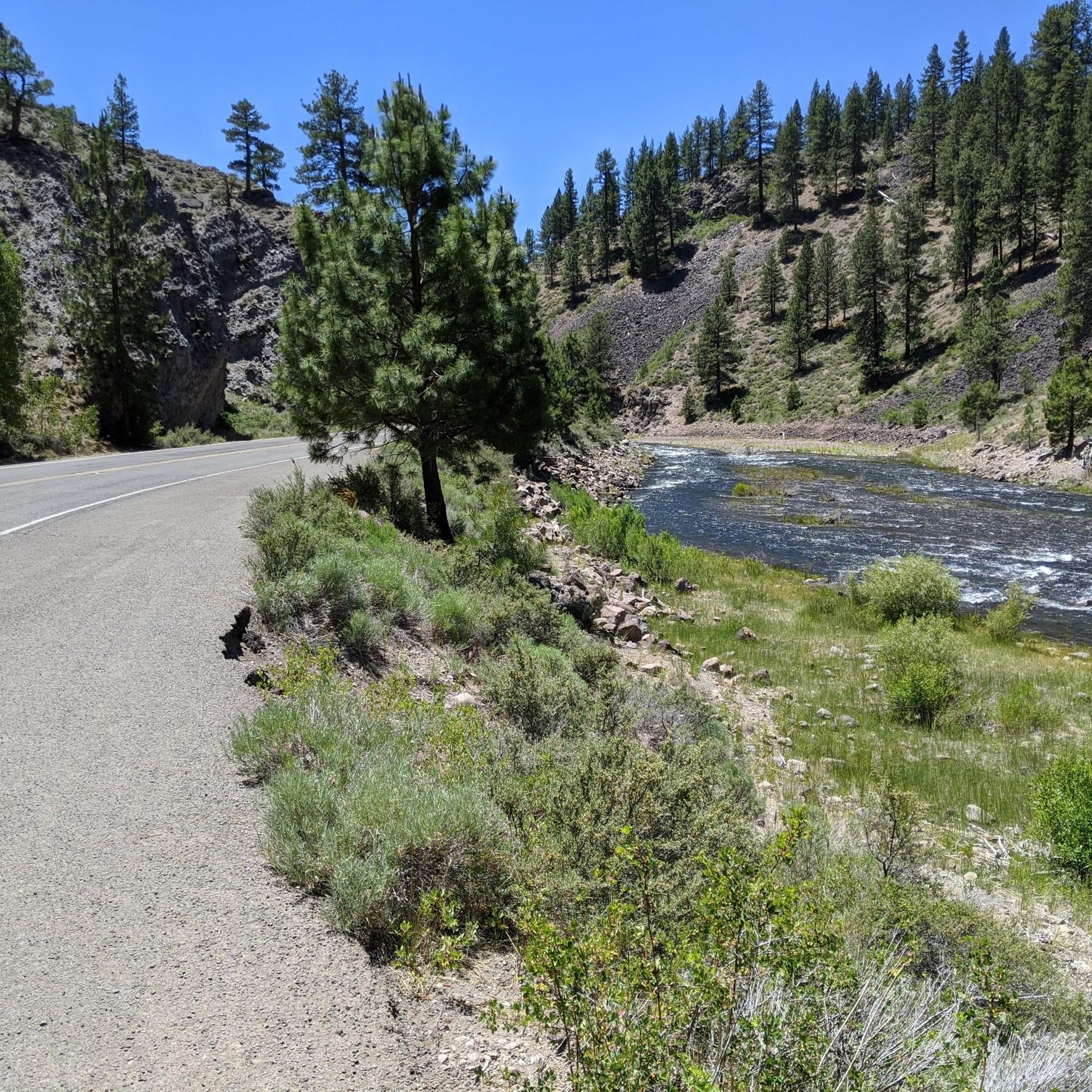
MTB Trails in Nevada County
Tips from the Community

Hi, the bracket of my clothes rack had become loose, the arms would collapse with every gust of wind, and the fresh laundry lay on the floor. After several failed attempts to glue it, a lucky hit via https://spinmama.de/app brought me a small amount. For players from Germany, the payouts are surprisingly fast, the app as a PWA requires no installation from the store, the money was enough for a stable stainless steel stand with reinforced joints, now the laundry dries safely again, and the annoyance is a thing of the past.
0
0

The Emigrant Trail Museum of Donner Memorial State Park is a memorial park and museum. In the 1840s, immigrants came over to this area to seek a better life on the west coast. The Donner Party was trapped in these mountains during a horrible winter and were starving. Rumors have it they resorted to cannibalism, though the museum claims "no real evidence was found".
0
0

China Cove is a sandy cove on the southern shore of Donner Lake, perfect for a quick break during your ride. It’s quieter than the main beach, with calm water and nice views. There’s limited parking, but if you’re on two wheels, it’s easy to pull over and soak in the stillness before heading back on the road.
0
0

Great place to take in the view of Martis Creek Lake. This lake was created with the completion of the Martis Creek Dam in 1972.
0
0
A commemorative plaque honoring the preservation of Waddle Ranch by the Truckee Donner Land Trust. Waddle Ranch is a great place to spot wildlife of all varieties, and at the right time of year, the wildflowers are incredible.
0
0

The stunning lake, surrounded by thick pine forest, sits 5,170 feet above sea level and is a playground for outdoor exploration. There are hiking trails, fishing, and boating opportunities to enjoy this spectacular scenic lake. It is a great spot to stop and take a breather while you take in the gorgeous scenery.
0
0
Stampede Reservoir is a beautiful high Sierra lake and a popular spot for a variety of outdoor recreation, including boating, swimming, and fishing. If you visit in the spring, you'll see lots of beautiful blue Camas lilies, adding to the already gorgeous scenery.
0
0
This trail is an easy and beautiful route through open sagebrush that follows the creek as it leads to the reservoir. The path is easy to navigate, with an array of beautiful wildflowers, especially in spring. Lots of birds in the area add to the peaceful sounds as you jog along for a peaceful run through this scenic route.
0
0
Frequently Asked Questions
How many running routes are available in Nevada County?
Nevada County offers a wide selection of running routes, with over 50 trails available for you to explore. These routes cater to various fitness levels, from easy paths to more challenging mountain trails.
Are there easy jogging trails suitable for beginners or families in Nevada County?
Yes, Nevada County has a good number of easy jogging trails, with 12 routes specifically categorized as easy. For instance, the Truckee River Legacy Trail — Truckee is a moderate option that is relatively flat and follows the scenic Truckee River, making it suitable for a relaxed run. Many local parks, like Truckee River Regional Park and Condon Park, also offer accessible trails.
What kind of terrain can I expect on running routes in Nevada County?
Running routes in Nevada County feature diverse terrain, reflecting its location in the Sierra Nevada foothills. You'll find everything from gentle slopes and paved paths to rugged, challenging inclines. Trails often wind through dense forests, along meandering streams, and offer views of lakes like Donner Lake and Scotts Flat Lake. Some routes, particularly in areas like the Tahoe National Forest, can involve significant elevation changes.
Are there challenging long-distance running routes in Nevada County?
Absolutely. For those seeking a challenge, Nevada County provides 5 difficult running routes. One notable option is the Donner Pass Road to Donner Peak via Pacific Crest Trail — Truckee, which features significant elevation gain. Another demanding route is the Glacier Lake Trail — Tahoe National Forest, offering a substantial distance and climb.
Which running routes offer scenic views or natural features?
Many routes in Nevada County boast stunning scenery. The Donner Lake loop — Truckee provides continuous water views. Trails in South Yuba River State Park, such as the Buttermilk Bend Trail, are known for spring wildflowers and river vistas. The Scotts Flat Trail — Tahoe National Forest offers beautiful forest and lake views. You can also find breathtaking panoramas from highlights like Castle Peak View.
Can I find historical landmarks along jogging trails in Nevada County?
Yes, Nevada County is rich in history. The Hardrock, Osborne Hills & Empire Street loop — Empire Mine State Historic Park takes you through historic mining landscapes. Empire Mine State Historic Park itself is a significant landmark (Empire Mine State Historic Park). Malakoff Diggins State Historic Park also offers trails amidst dramatic cliffs formed by hydraulic mining and the historic town of North Bloomfield.
Are there any loop or circular running routes in Nevada County?
Yes, many running routes in Nevada County are designed as loops, offering varied scenery without retracing your steps. Popular examples include the Donner Lake loop — Truckee, the Donner Memorial State Park to Michael’s Pond loop — Truckee, and the Sagehen Creek Trail loop — Tahoe National Forest.
What do other runners enjoy most about jogging in Nevada County?
The running experience in Nevada County is highly rated by the komoot community, with an average score of 5.0 stars. Runners often praise the diverse landscapes, from the Sierra Nevada foothills to dense forests and scenic river valleys. The extensive network of routes and the natural beauty of the area are frequently highlighted.
Are there dog-friendly running trails in Nevada County?
Many trails in Nevada County and the surrounding national forests are dog-friendly, but it's always best to check specific park regulations before heading out. Generally, trails in Tahoe National Forest and many state parks allow dogs on leash. Always ensure your dog is under control and clean up after them.
What is the best time of year to go running in Nevada County?
The Sierra Nevada foothills offer pleasant running conditions for much of the year. Spring brings wildflowers, especially along trails like the Buttermilk Bend Trail. Summer is ideal for higher elevation routes in areas like Tahoe National Forest. Fall offers cooler temperatures and beautiful foliage. While winter can bring snow to higher elevations, lower-lying trails may still be accessible, providing a unique cold-weather running experience.
Are there running routes near amenities like cafes or towns?
Yes, some running routes are conveniently located near towns or amenities. For example, routes around Truckee, such as the Donner Lake loop — Truckee, are close to town services. Nevada City (Nevada City) also has nearby trails like the Deer Creek Tribute Trail, offering easy access to local cafes and shops after your run.
Are there any hidden gem running routes in Nevada County?
While many routes are well-known, exploring trails within the extensive Tahoe National Forest, such as the Spaulding Lake via Pioneer Trail — Tahoe National Forest, can lead to less crowded and equally rewarding experiences. The diverse network ensures there's always something new to discover beyond the most popular spots.
Most popular routes in Nevada County
Most popular attractions in Nevada County

Get inspired with the komoot mobile app


Didn’t find what you were looking for?
Check out more Running Trails & Routes throughout Nevada County below and find the perfect route in your destination.
Explore more
Browse the best Running Trails & Routes in other regions.
