The best walks and hikes around Haringvliet
4.4
(1994)
10,140
hikers
584
hikes
Hiking around Haringvliet offers diverse routes through its expansive wetland panoramas and significant nature reserves. The region is characterized by its unique position as an estuary, surrounded by the North Sea and Grevelingenmeer, contributing to a rich natural environment. Hikers can explore tranquil wetland landscapes and coastal influences, providing a dynamic backdrop for outdoor activities. The broader Goeree-Overflakkee region, where Haringvliet is located, features extensive natural areas suitable for various skill levels.
Best hiking trails around Haringvliet
- The most popular…
Last updated: June 24, 2026
27
hikers
Easy hike. Great for any fitness level. Easily-accessible paths. Suitable for all skill levels.
4.5
(22)
103
hikers
Easy hike. Great for any fitness level. Easily-accessible paths. Suitable for all skill levels.

Sign up for free
5.0
(4)
19
hikers
Easy hike. Great for any fitness level. Easily-accessible paths. Suitable for all skill levels.
12
hikers
Easy hike. Great for any fitness level. Easily-accessible paths. Suitable for all skill levels.
9
hikers
12.6km
03:09
10m
10m
Moderate hike. Good fitness required. Easily-accessible paths. Suitable for all skill levels.
Get access to more routes and recommendations from other explorers.
Sign up for free
Already have an account?
Our route recommendations are based on thousands of hikes, rides, and runs completed by other people on komoot.
Start today with a free account
Your next adventure awaits.
Login or Signup
Tips from the Community

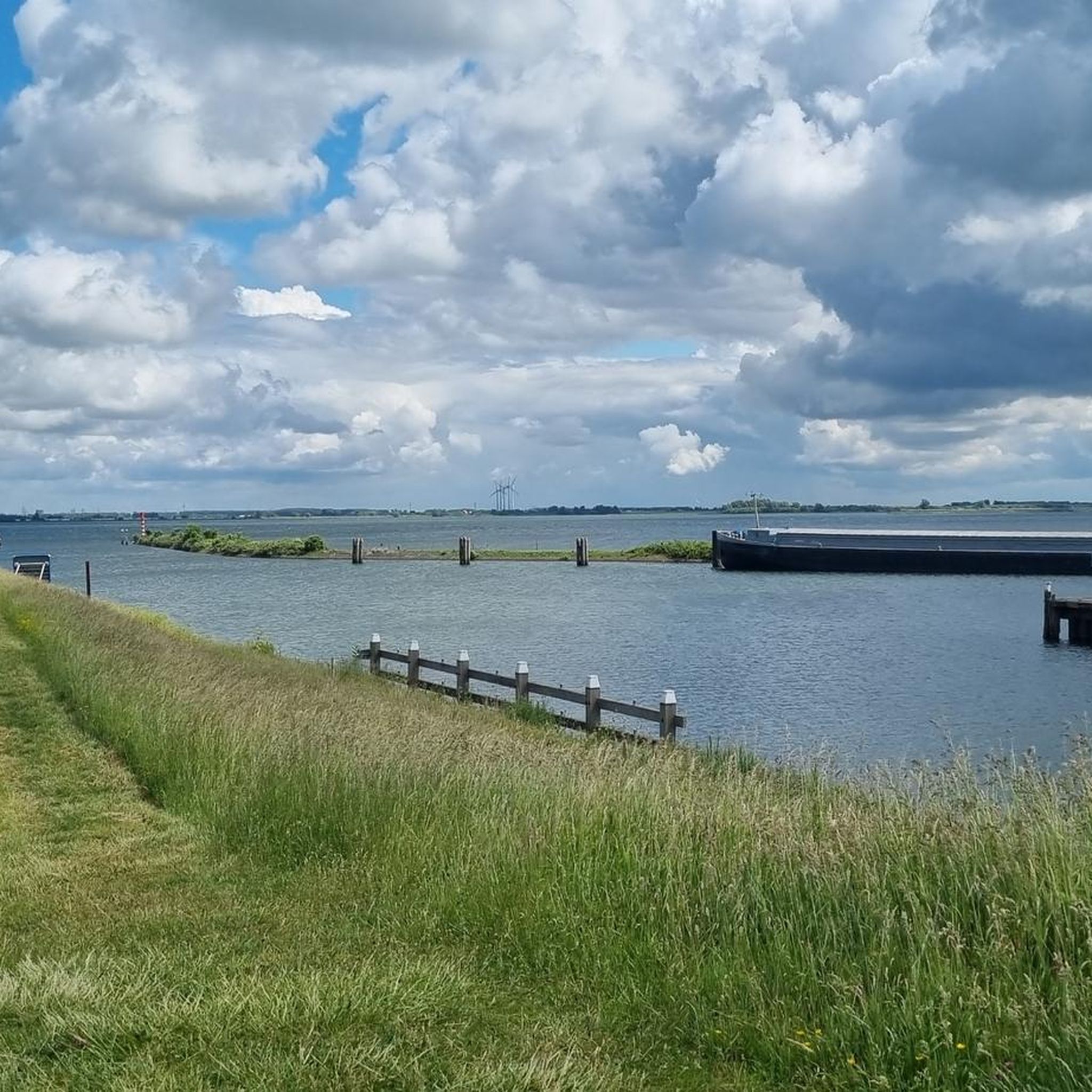
This small marina is located in the middle of the historical centre and is connected to a yacht canal of several kilometres. A beautiful place for a break.
1
0

Idyllic harbor with nice restaurants 🍽☕️🥂…🤩
0
0


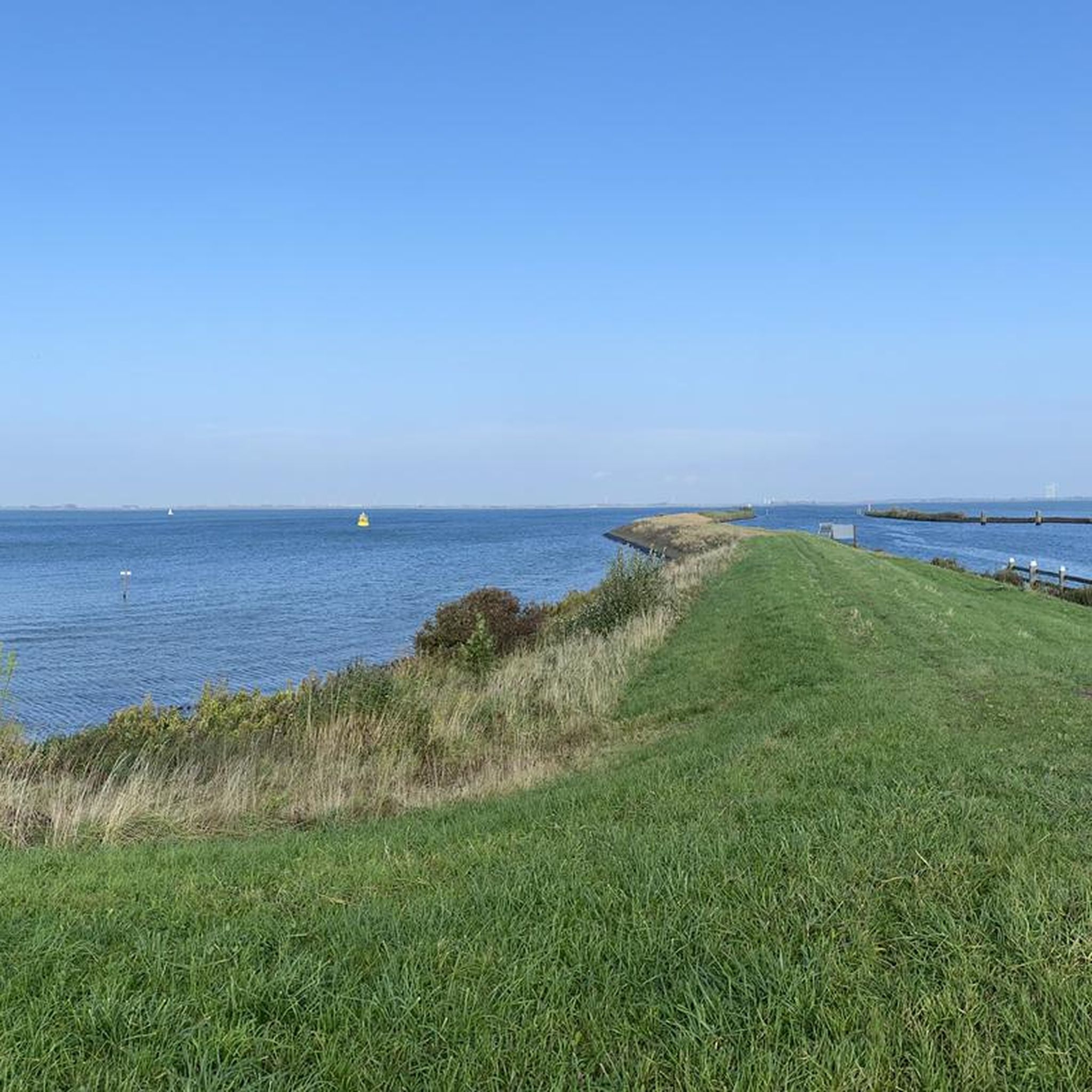
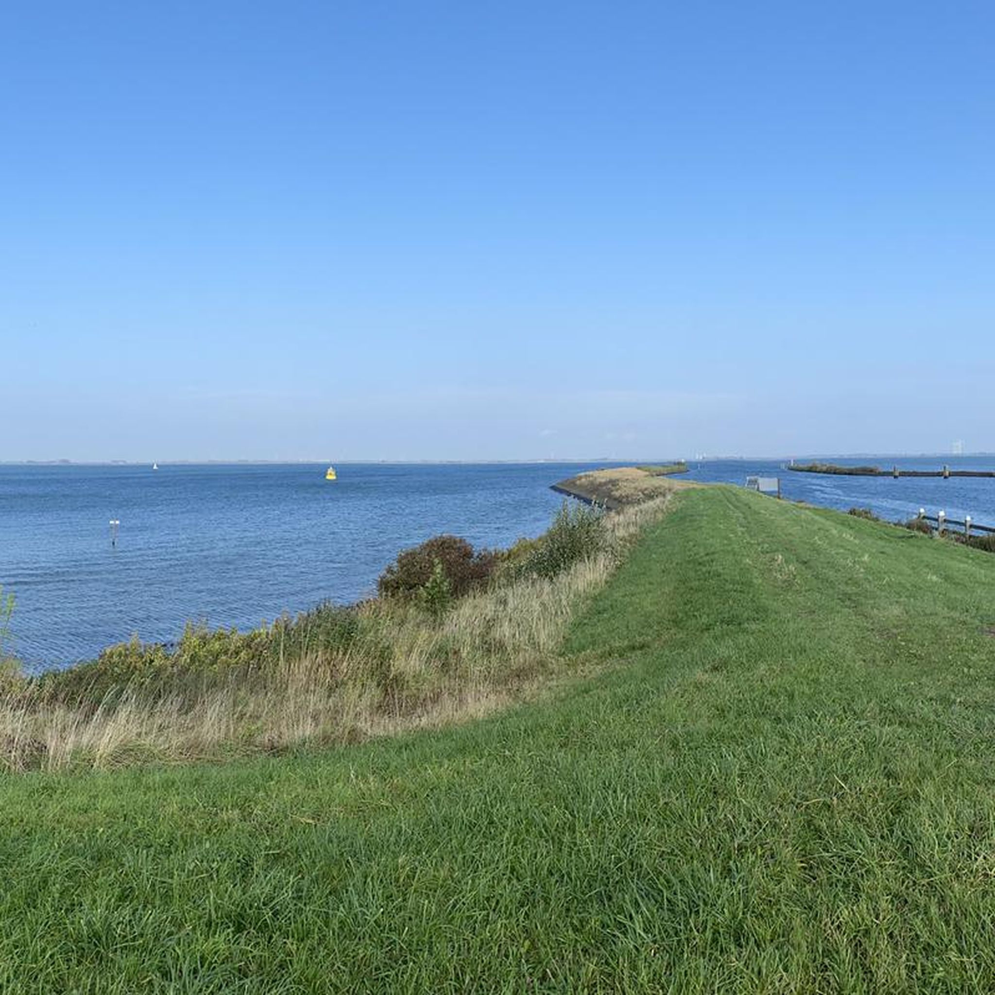
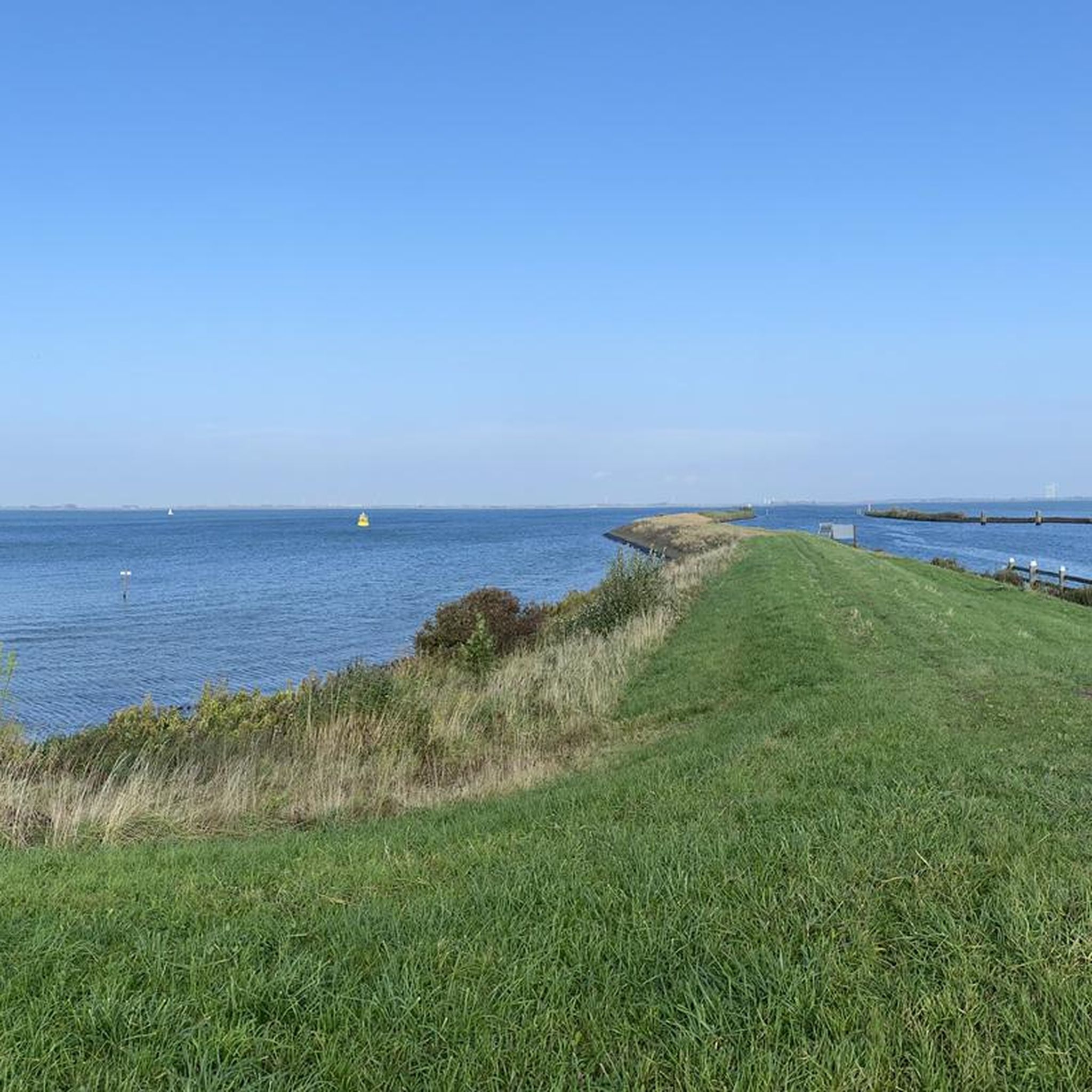
Very nice path with a wide view over the water. The road surface is poor and bumpy, so keep that in mind
0
0

Press the button and the bridge closes
0
0
If you like dikes and polder roads then this is heaven
0
0

The marina is located in the historic center of Middelharnis. The 2.2 kilometer long harbor canal is a popular destination for (water) tourists because of its unique location. The Middelharnis marina is the only municipal marina on Goeree-Overflakkee and has the blue flag. You will find cozy terraces at the renovated harbor basin and the d'n Diek shopping area is within walking distance.
14
0
Drowning Land ; the inundation of Goeree-Overflakee. Pause here for a moment and immerse yourself in a piece of history.
13
0
Frequently Asked Questions
How many hiking trails are available around Haringvliet?
Haringvliet offers a wide selection of hiking routes, with over 580 trails recorded on komoot. These routes cater to various preferences, from easy strolls to more challenging paths.
What kind of terrain can I expect on hikes around Haringvliet?
The terrain around Haringvliet is characterized by expansive wetland panoramas and estuary environments. You'll find diverse bodies of water, coastal influences, and tranquil natural reserves, offering a dynamic and visually appealing backdrop for your hike.
Are there hiking routes for all skill levels in Haringvliet?
Yes, Haringvliet provides hiking options for all abilities. The majority of routes, over 410, are classified as easy, making them suitable for casual walkers. There are also 153 moderate trails and 13 difficult routes for those seeking more of a challenge.
What do other hikers say about the trails in Haringvliet?
The hiking routes in Haringvliet are highly rated by the komoot community, with an average score of 4.4 stars from over 1,700 reviews. More than 9,700 hikers have used komoot to explore the varied terrain, often praising the serene environment and picturesque natural attractions.
Are there family-friendly hiking options in Haringvliet?
Many of the easy trails around Haringvliet are suitable for families. These often feature flat paths through wetlands and along the coast, providing a pleasant experience for all ages. For example, the Haringvliet Sluice loop from Haringvliet is an easy 4 km path that could be a good option.
Can I bring my dog on the hiking trails around Haringvliet?
While specific regulations can vary, many natural areas in the Netherlands, including those around Haringvliet, generally allow dogs on a leash. It's always advisable to check local signage in nature reserves like Tiendgorzen to ensure compliance with any specific rules regarding pets.
Are there circular hiking routes in Haringvliet?
Yes, many of the trails in Haringvliet are designed as circular routes, allowing you to start and end at the same point. An example is the Nature beach – Haringvliet Sluice loop from Stad aan 't Haringvliet, which is an easy 6.9 km loop.
What natural features or viewpoints can I see while hiking in Haringvliet?
Haringvliet offers stunning natural features, primarily its expansive wetlands and estuary landscapes. You can enjoy views over the Haringvliet at locations like the Krammerse Slikken, providing picturesque vistas of the water and surrounding nature.
Are there any interesting landmarks or attractions near the hiking trails?
Yes, there are several points of interest. You might encounter structures like the Pedestrian Bridge at Middelharnis Keersluis or the Sluishoofd. These often provide historical context or unique architectural elements along your route.
Is parking available near the hiking trails in Haringvliet?
Parking facilities are available in various locations around Haringvliet, especially near popular starting points for trails. For instance, you can find parking at Havenhoofd Middelharnis Parking, which is convenient for exploring routes in that area.
How can I reach the hiking trails in Haringvliet by public transport?
While specific public transport connections to every trailhead can vary, the broader Goeree-Overflakkee region is accessible by local bus services. It's recommended to check local transport schedules for the most up-to-date information on reaching specific starting points for your hike.
What is the best time of year to hike in Haringvliet?
Haringvliet can be enjoyed year-round, but the spring and summer months typically offer the most pleasant weather for hiking, with milder temperatures and blooming flora. The unique wetland environment also provides interesting scenery during autumn and winter, though some paths might be wetter.
Most popular routes around Haringvliet
Most popular attractions around Haringvliet

Get inspired with the komoot mobile app


Explore more
Browse the best Hikes in other regions.
