The best running trails in Benton County
4.3
(14)
390
runners
22
runs
Jogging routes in Benton County offer a diverse landscape for outdoor activity. The region features varied terrains, including riverfront paths, park trails, and routes with significant elevation gain through rolling hills and forests. These areas provide opportunities for runners to explore different environments, from flat, paved surfaces along waterways to more challenging trails on hills like Badger Mountain. The network of routes caters to various fitness levels, ensuring options for both casual jogs and more strenuous running experiences.
Best jogging…
Last updated: June 28, 2026
3.0
(1)
57
runners
18.6km
01:55
50m
50m
Hard run. Very good fitness required. Mostly paved surfaces. Suitable for all skill levels.
5.0
(1)
41
runners
Moderate run. Good fitness required. Mostly paved surfaces. Suitable for all skill levels.

Sign up for free
27
runners
7.93km
00:49
20m
20m
Moderate run. Good fitness required. Mostly paved surfaces. Suitable for all skill levels.
5.0
(1)
24
runners
Moderate run. Good fitness required. Mostly paved surfaces. Suitable for all skill levels.
15
runners
Hard run. Very good fitness required. Mostly paved surfaces. Suitable for all skill levels.
15
runners
Moderate run. Good fitness required. Mostly paved surfaces. Suitable for all skill levels.
12
runners
23.6km
02:49
710m
710m
Hard run. Very good fitness required. Mostly paved surfaces. Suitable for all skill levels.
4.8
(4)
16
runners
6.94km
00:43
30m
30m
Moderate run. Good fitness required. Mostly paved surfaces. Suitable for all skill levels.
4.0
(1)
9
runners
5.82km
00:36
10m
10m
Moderate run. Good fitness required. Mostly paved surfaces. Suitable for all skill levels.
6
runners
7.59km
00:47
10m
10m
Moderate run. Good fitness required. Mostly paved surfaces. Suitable for all skill levels.
Get access to more routes and recommendations from other explorers.
Sign up for free
Already have an account?
Our route recommendations are based on thousands of hikes, rides, and runs completed by other people on komoot.
Start today with a free account
Your next adventure awaits.
Login or Signup





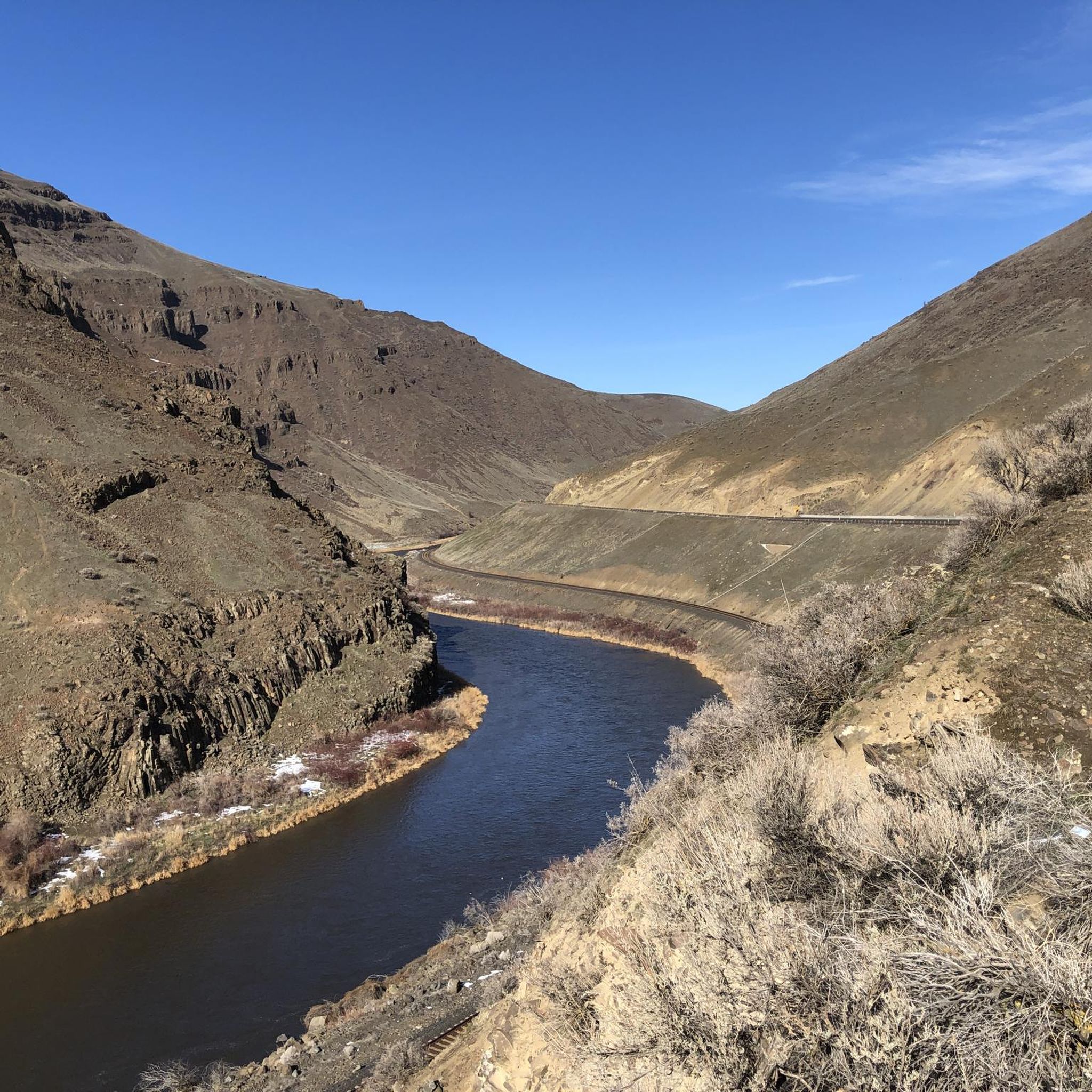
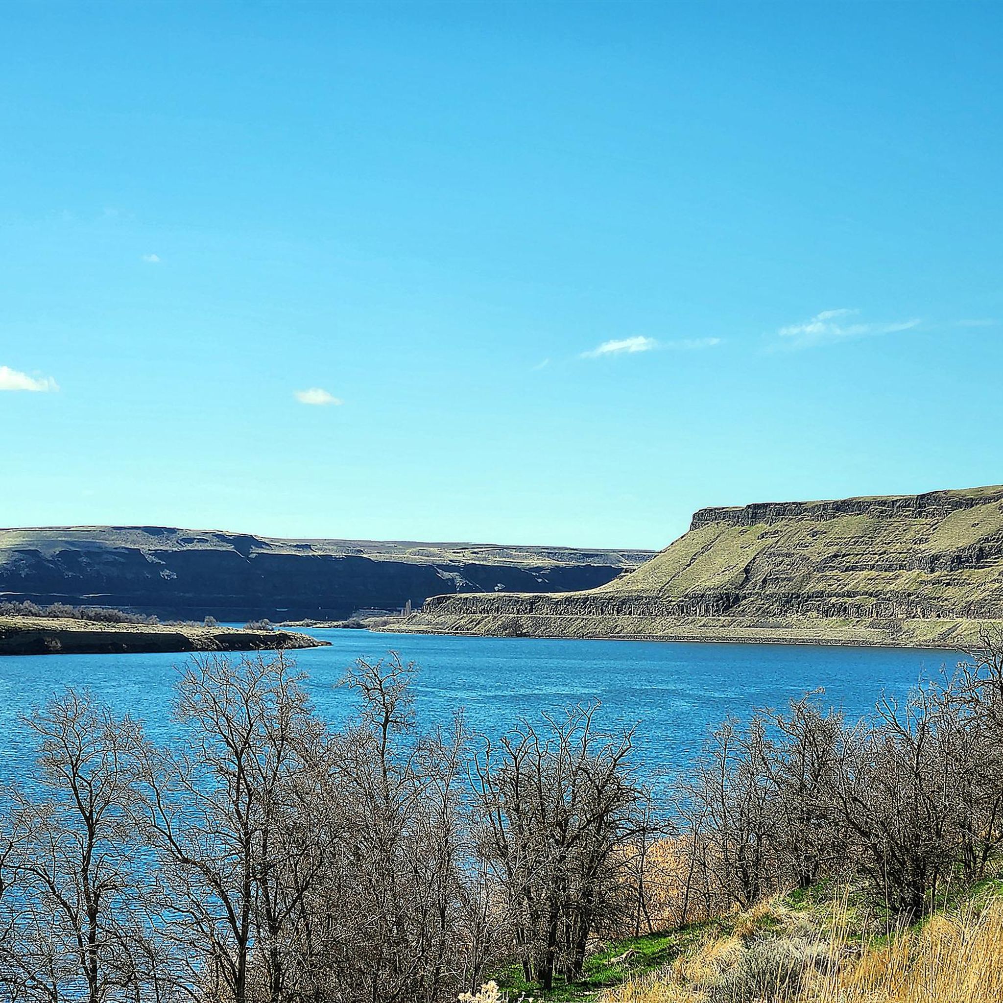
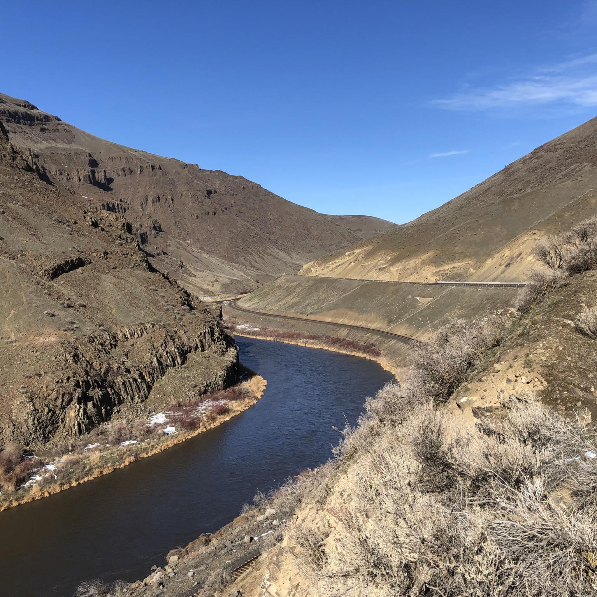
Tips from the Community

From the multi-use trail, you can see the floodplain where the Yakima River flows into the Columbia River.
0
0

Good view of the Yakima River and Yakima Delta from the pedestrian bridge that crosses the river. The Yakima River is a tributary of the Columbia River. There is a wide variety of plant and animal life around the Yakima River and Delta, including salmon and many types of birds,
0
0
The Riverfront Trail is a mostly paved trail that has some gravel and dirt sections. It follows the Columbia River, so there are great views of the river from the path.
0
0

As you enjoy the Richland Riverfront Trail, you will come across the picturesque Columbia Point Marina. You may consider taking a moment to rest at one of the available benches or pausing your walk to appreciate the sunshine and admire the Columbia River at Columbia Point Marina Park.
0
0
The Sacagawea Heritage Trail is a 23-mile paved trail that passes through Pasco, Richland, and Kennewick. It follows the Columbia River, providing excellent views of the water. This particular stretch passes through Columbia Park, which features one of the trail's major trailheads.
0
0

The trail boasts a broad width and is covered with gravel, catering to the preferences of mountain bikers, trail runners, and hikers. Despite its popularity, there's generous space for passing without straying off the trail. This trail offers an excellent out-and-back experience and is an integral component of a larger trail network.
0
0

Badger Mountain Centennial Preserve in Washington State is a prime spot for mountain biking. Its diverse trails cater to riders of all levels, offering both leisurely rides and challenging ones. The well-maintained trails wind through stunning terrain, providing scenic views and opportunities to connect with nature.
0
0
As you follow the Skyline Trail at this spot, you'll enjoy stunning views of the eastern side of Badger Mountain.
0
0
Frequently Asked Questions
How many running routes are available in Benton County?
Benton County offers a wide selection of running routes, with over 30 options available on komoot. These routes cater to various fitness levels, from easy jogs to more challenging long-distance runs.
Are there any easy or beginner-friendly jogging paths in Benton County?
Yes, Benton County has several easy jogging paths suitable for beginners or those looking for a relaxed run. The Columbia Point Marina Park loop from Richland is a moderate 4.2-mile trail offering scenic views. Additionally, the Willamette River Path and Williamette Park & Natural Area in Corvallis provide mostly paved, flat surfaces ideal for all skill levels. For a family-friendly option, the 3.9-mile loop at Beazell Memorial Forest is also an excellent choice.
Where can I find challenging or long-distance running trails in Benton County?
For runners seeking a challenge, Benton County offers routes with significant elevation gain and longer distances. The Badger Mountain – Trailhead Park loop from Keene & Shockley is a difficult 10.8-mile trail with notable elevation changes. Another demanding option is the View of Badger Mountain – Badger Mountain loop from Marshalls, which spans over 14 miles and features substantial climbs. Marys Peak, the highest point in the Oregon Coast Range, also provides challenging and rewarding trails for experienced trail runners.
What are some scenic jogging routes with viewpoints in Benton County?
Benton County boasts many scenic routes. Chip Ross Park, north of Corvallis, offers a 1.5-mile trail with expansive views of restored oak forest and hilltop prairies. The Riverfront Trail loop from Columbia Point South provides picturesque running along the riverfront. For stunning vistas, consider trails around Marys Peak, which offer panoramic views across its forested hillsides and meadows.
Are there any circular jogging routes in Benton County?
Many of Benton County's running routes are designed as loops, providing a convenient circular experience. Examples include the Columbia Point Marina Park loop from Richland, the Sagebrush Trail loop from Trailhead Park, and the Bald Hill loop via Bald Hill Multi-Use Path. The 3.9-mile loop trail at Beazell Memorial Forest is also a popular circular option.
What kind of natural attractions can I see along the running trails?
Benton County's diverse landscape means you can encounter various natural attractions. Along the Riverfront Trail, you'll enjoy views of the water. Bald Hill Natural Area features upland prairie, oak savanna, mixed forest, and wetlands. Chip Ross Park offers restored oak forest, while Beazell Memorial Forest traverses open meadowlands and lush forests. You can also explore creeks, glades, and timber in the county's conservation areas.
Are there dog-friendly running routes in Benton County?
Many parks and trails in Benton County are dog-friendly, but it's always best to check specific park regulations regarding leashes and waste disposal. Areas like Bald Hill Natural Area and Chip Ross Park are popular choices for runners with dogs, offering ample space and varied terrain. Always ensure your dog is under control and follow local guidelines.
What is the best time of year to go jogging in Benton County?
Benton County offers great running opportunities year-round, but spring and fall are particularly pleasant with mild temperatures and vibrant scenery. Summer mornings and evenings are ideal to avoid the heat, especially on exposed trails. Winter running is also possible, though some higher elevation or unpaved trails might be muddy or have icy patches, so checking local conditions is advisable.
Are there public transport options to access jogging trails in Benton County?
Public transport access varies by trail. In Corvallis, local bus services may provide access to parks like Williamette Park & Natural Area and areas near the Willamette River Path. For more remote trails, personal transportation is generally recommended. You can check local transit schedules for specific routes and stops near your desired trailheads.
Where can I find parking for jogging trails in Benton County?
Most major parks and natural areas in Benton County, such as Bald Hill Natural Area, Chip Ross Park, and Beazell Memorial Forest, offer designated parking lots at their trailheads. For routes along the Willamette River, parking is often available near parks and public access points in Corvallis. Always look for official parking areas to ensure convenience and safety.
What do other runners enjoy most about jogging in Benton County?
The running routes in Benton County are highly rated by the komoot community, with an average score of 4.3 stars. Runners frequently praise the diverse terrain, from flat riverfront paths to challenging mountain trails, and the beautiful natural scenery that includes forests, prairies, and wetlands. The variety ensures options for all fitness levels and preferences.
Are there any specific natural areas or parks known for their running trails?
Absolutely. Bald Hill Natural Area is a prime spot with five miles of dirt and gravel paths through diverse habitats. Chip Ross Park offers trails with expansive views over restored oak forests. The Dunn Research Forest features several loops like Daves Road 580 & Vineyard Mountain Trail. For riverfront runs, the Willamette River Path and Williamette Park & Natural Area are popular. You can find more information about the region's outdoor recreation on the Heart of the Valley Outdoor Recreation Map.
Most popular routes in Benton County
Most popular attractions in Benton County

Get inspired with the komoot mobile app


Didn’t find what you were looking for?
Check out more Running Trails & Routes throughout Benton County below and find the perfect route in your destination.
Explore more
Browse the best Running Trails & Routes in other regions.
