The best MTB trails in Santa Clara County
4.5
(359)
2,776
riders
227
rides
Mountain biking in Santa Clara County offers diverse landscapes, from rolling hills and oak woodlands to expansive grasslands and chaparral habitats. The region is characterized by its varied topography, including the Diablo Range and foothills of the Santa Cruz Mountains, with elevations ranging up to 3,849 feet. Lakes and reservoirs such as Coyote Lake and Uvas Reservoir provide scenic backdrops, while extensive trail systems follow creeks like Coyote Creek. This varied terrain provides a wide range of mountain bike trails for all skill levels.
Best mountain bike trails in Santa Clara County
- The most popular mountain bike trail is Canyon Trail, Indian Creek, Black Mountain, a moderate 18.1 miles (29.2 km) trail that takes 2 hours 33 minutes to complete. This route features significant elevation changes and panoramic views.
- Another top favourite among local mountain bikers is Redtail Loop to Arastradero Creek Trail Loop, an easy 6.3 miles (10.1 km) path. This trail offers a gentler ride through open space with views of the surrounding hills.
- Local mountain bikers also love the Bay Area Ridge Trail: Sanborn to Saratoga Gap, a 21.6 miles (34.8 km) trail leading through varied woodlands and ridge lines, often completed in about 3 hours 24 minutes.
- Mountain biking in Santa Clara County is defined by rolling hills, oak woodlands, and extensive trail systems. The network offers options for different ability levels, from easy loops to challenging climbs.
- The routes in Santa Clara County are highly rated by the komoot community with an average score of 4.5 stars from over 340 reviews. More than 2900 mountain bikers have used komoot to explore Santa Clara County's varied terrain.
Last updated: October 10, 2026
4.0
(5)
37
riders
29.2km
02:33
760m
770m
The Canyon Trail, Indian Creek, Black Mountain route offers a fantastic mountain biking experience through the Monte Bello Open Space Preserve, blending shaded forest paths with exposed climbs. You'll navigate a mix of flowing singletrack, fire roads, and some technically challenging sections with loose rocks and ruts, especially on parts of Indian Creek. The highlight is undoubtedly the panoramic vista from the Black Mountain summit, where you can gaze across Silicon Valley and out to the Pacific Ocean.
This moderate 18.1-mile (29.2 km) ride involves a substantial 2503 feet (763 metres) of elevation gain, typically taking around 2 hours and 32 minutes. Given the varied terrain and some black diamond rated sections, it's best suited for intermediate to advanced mountain bikers comfortable with sustained climbs and technical descents. Always check the Monte Bello Open Space Preserve's website for current trail conditions and any specific access requirements before heading out.
Beyond the ride itself, the Monte Bello Open Space Preserve is a vibrant natural tapestry, offering more than just trails. There's even a hike/bike-in campground on Black Mountain, providing a unique opportunity to stay overnight and wake up to views above the clouds or see the Bay Area lights twinkling below. This area truly stands out for its diverse riding options and stunning natural beauty.
4.8
(17)
83
riders
10.1km
00:54
170m
170m
The Redtail Loop to Arastradero Creek Trail Loop offers a delightful mountain biking experience through Arastradero Preserve, showcasing a mix of oak woodlands, grassy meadows, and gentle rolling hills. You'll find yourself cruising on natural soil and compacted gravel, with the trail winding past the scenic Arastradero Lake and offering expansive views from the Arastradero Overlook. This easy 6.3-mile (10.1 km) route, with 567 feet (173 metres) of elevation gain, is perfect for a quick 53-minute ride, especially if you're a beginner looking to build confidence on varied terrain.
Planning your visit is straightforward, as Arastradero Preserve is known for being very bike-friendly, with all its trails open to mountain bikes. The preserve is particularly beautiful in spring when wildflowers bloom and the landscape is vibrant, but be mindful that heavy rains can lead to trail closures due to muddy conditions. Parking is available at the trailhead, and it's always a good idea to arrive early to secure a spot, especially during peak times. Remember to bring sun protection and water, as parts of the Redtail Loop are quite exposed.
This route is a fantastic introduction to mountain biking in the Silicon Valley area, offering a generous amount of singletrack within a multi-use park shared with hikers and horseback riders. The preserve's interconnected trail system allows for easy route improvisation if you want to extend your ride, and unique features like "The Bowl" offer opportunities for fun descents and climbs. It's a great spot for families or anyone seeking a relaxed ride with the chance to spot local wildlife like deer and various bird species.

5.0
(17)
40
riders
34.8km
03:24
800m
800m
The Bay Area Ridge Trail: Sanborn to Saratoga Gap offers a fantastic mountain biking adventure through varied terrain, from dense redwood forests to open viewpoints. You'll navigate predominantly singletrack paths, experiencing a mix of natural, unpaved, and gravel surfaces. The route features a significant 1,000-foot climb, much of it shaded, leading to a rewarding viewpoint at 2,800 feet with expansive South Bay views, and passes by the scenic Lake Ranch Reservoir.
This is a moderate mountain bike trail, covering 21.6 miles (34.8 km) with 2617 feet (798 metres) of elevation gain, typically completed in about 3 hours and 24 minutes. While it's a popular choice for mountain biking, specific parking details for Sanborn County Park mountain bike trails or Saratoga Gap are not widely publicized, so plan to arrive early, especially on weekends. Always check for any seasonal conditions or closures before you go.
Part of the larger Bay Area Ridge Trail network, this segment is known for its well-designed layout, having opened in 2014. It's a multi-use trail, connecting to other significant routes like those in Castle Rock State Park, making it a great option for extended exploration. Keep an eye out for majestic trees and unique serpentine rock formations along the way, adding to the natural features of the ride.
4.7
(3)
25
riders
22.3km
02:22
680m
680m
This 13.8-mile moderate mountain biking loop in Sierra Azul Open Space Preserve offers challenging climbs and panoramic summit views.
4.0
(3)
22
riders
12.9km
01:29
440m
430m
The Bald Peaks and Longwall Canyon Loop offers a dynamic mountain biking experience through Rancho Cañada del Oro Open Space Preserve, blending shaded oak forests with open grasslands and panoramic views from Bald Peaks Viewpoint. This moderate 8.0-mile (12.9 km) route, with its 1428 feet (435 metres) of elevation gain, is a fantastic choice for riders seeking diverse terrain and a good workout, typically taking about 1 hour and 29 minutes to complete. You'll encounter everything from smooth fire roads to challenging singletrack, including a notable steep climb, making it best suited for experienced mountain bikers.
Planning your ride, you'll find the trail accessible without general entrance fees or permits, though checking the park's official website for current conditions is always a good idea. Spring brings vibrant wildflowers and lush greenery, while autumn offers comfortable temperatures for tackling the significant climbs. For the most enjoyable descent flow, many riders opt to complete the loop in a counter-clockwise direction.
What sets this route apart is its diverse character and the strategic riding direction that enhances the experience. The Longwall Canyon Trail is particularly praised for its
4.5
(2)
18
riders
22.1km
02:09
410m
410m
This moderate 13.7-mile mountain biking loop at Coyote Lake Harvey Bear Ranch offers diverse terrain, scenic views, and 1350 feet of elevati
16
riders
33.1km
03:56
1,210m
1,210m
Tackle the Jim Donnelly and Grizzly Gulch Loop, a difficult 20.5-mile mountain biking route with 3984 feet of elevation gain.
3.0
(1)
9
riders
16.7km
02:00
620m
620m
Challenge yourself on the Flat Frog to Middle Ridge Loop, a 10.4-mile mountain biking trail with 2024 feet of elevation gain in Henry W. Coe
3
riders
22.6km
02:23
720m
720m
A moderate 14.0 miles (22.6 km) mountain biking loop in Joseph D. Grant County Park with panoramic views of the Diablo Range.
8
riders
6.38km
00:41
170m
170m
The Arrowhead Loop Trail offers a delightful mountain biking experience through the Coyote Valley Open Space Preserve, characterized by smooth single-track winding past rare serpentine rock outcroppings and through open grasslands. You'll ride beneath oak and California bay trees, enjoying scenic views from spots like the Coyote Valley Overlook, which provides panoramic vistas of Mount Hamilton and Mount Umunhum. This easy 4.0-mile (6.4 km) loop, with 553 feet (169 metres) of elevation gain, is perfect for a quick, engaging ride.
Planning your visit is straightforward, but be aware of the trail's unique rotating one-way system for bikes; always check the signage at the trailhead to know whether to ride clockwise or counterclockwise. The route is popular and family-friendly, making it a great option for mountain biking near Morgan Hill, CA. It's accessible year-round, but arriving early can help secure parking, especially on busy days.
Beyond the ride itself, the preserve is a haven for wildlife, with opportunities for birdwatching to spot red-tailed hawks and golden eagles, alongside deer and turkeys. During spring, the meadows burst with vibrant wildflower displays, adding another layer of beauty to your ride. This trail is a fantastic way to experience the natural beauty of the Coyote Valley, offering a rewarding outing for riders of all skill levels.
Get access to more routes and recommendations from other explorers.
Already have an account?
Our route recommendations are based on thousands of hikes, rides, and runs completed by other people on komoot.
Start today with a free account
Your next adventure awaits.
Popular around Santa Clara County
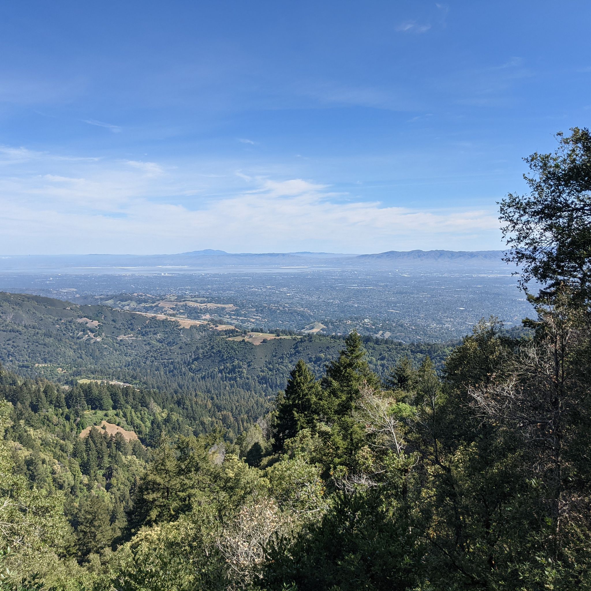
MTB Trails in the Santa Cruz Mountains
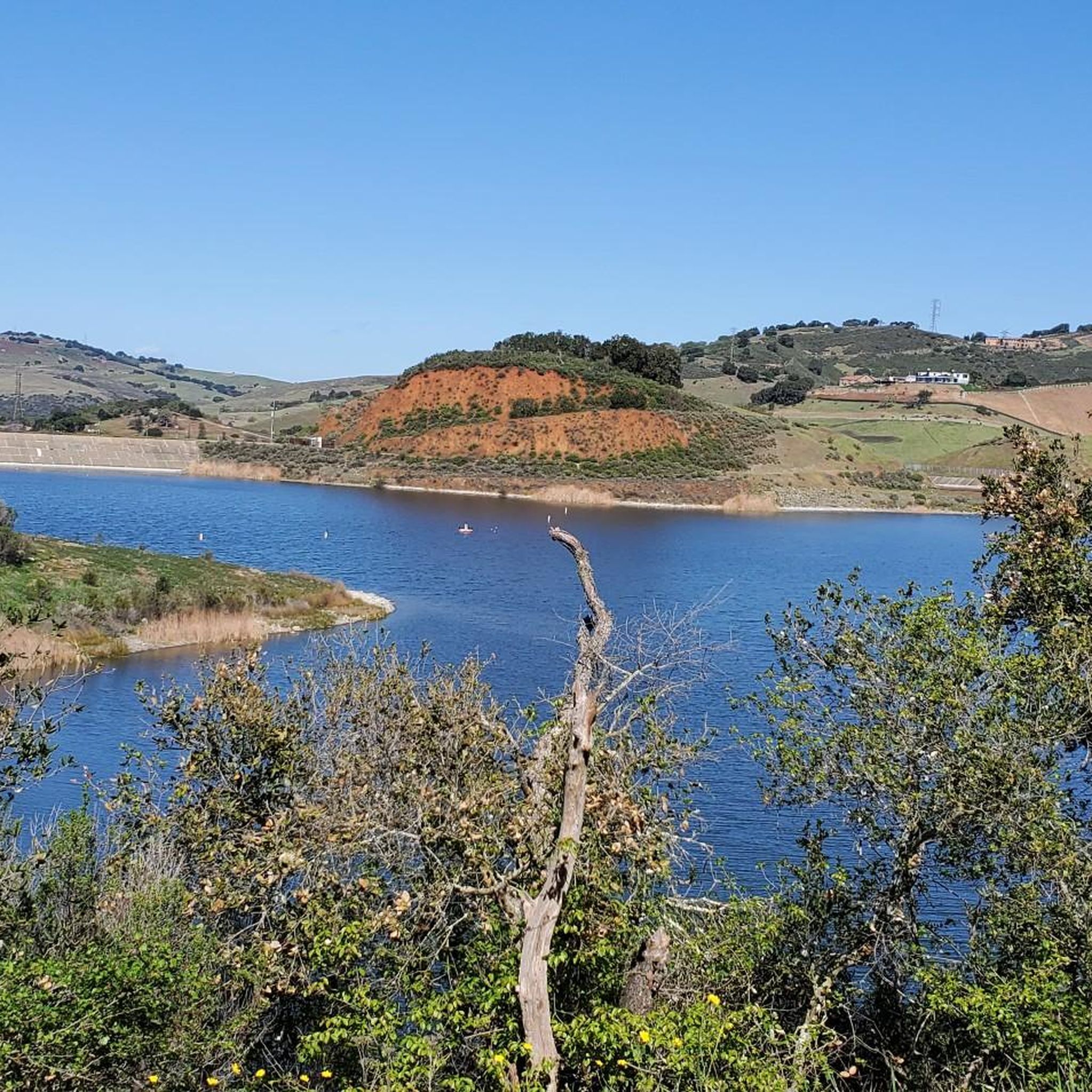
MTB Trails in Mount Chual Open Space Preserve (Closed Area)
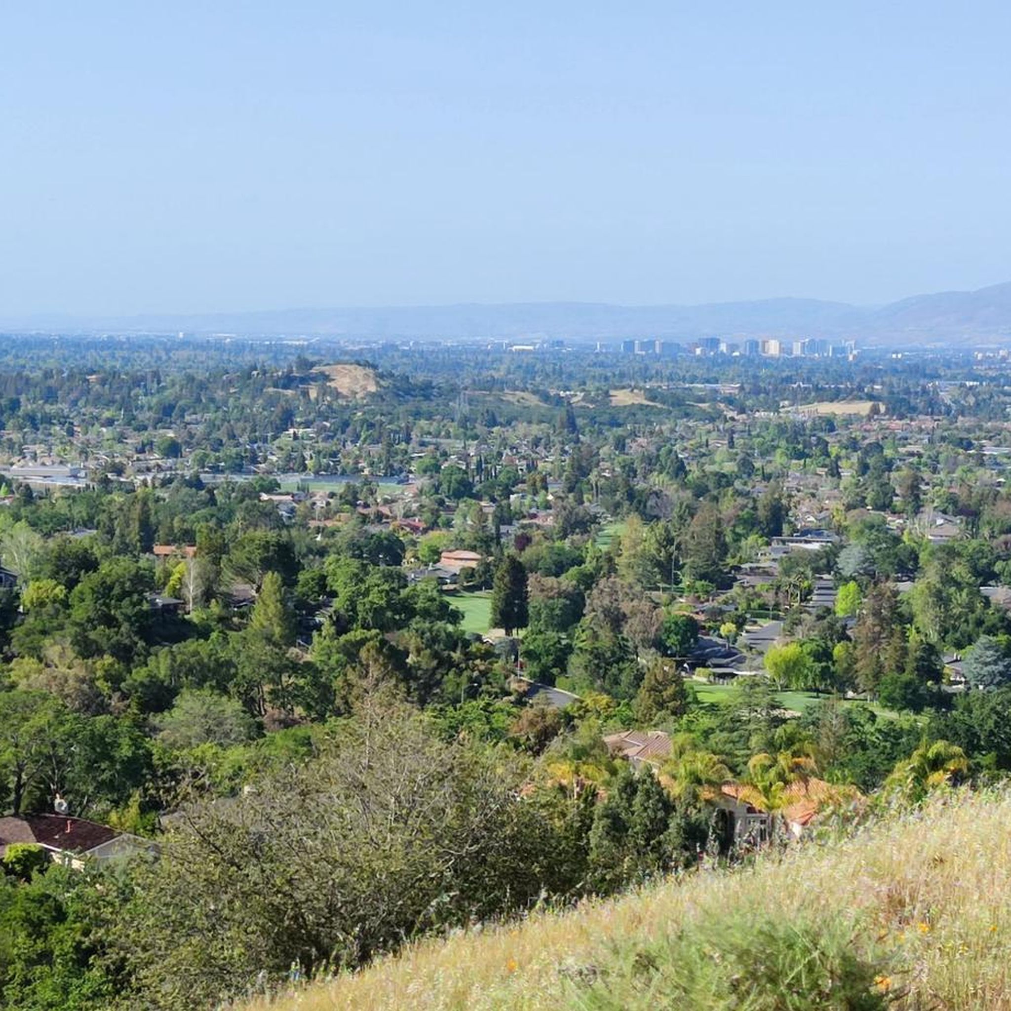
MTB Trails in Sierra Azul Open Space Preserve (Closed Areas)
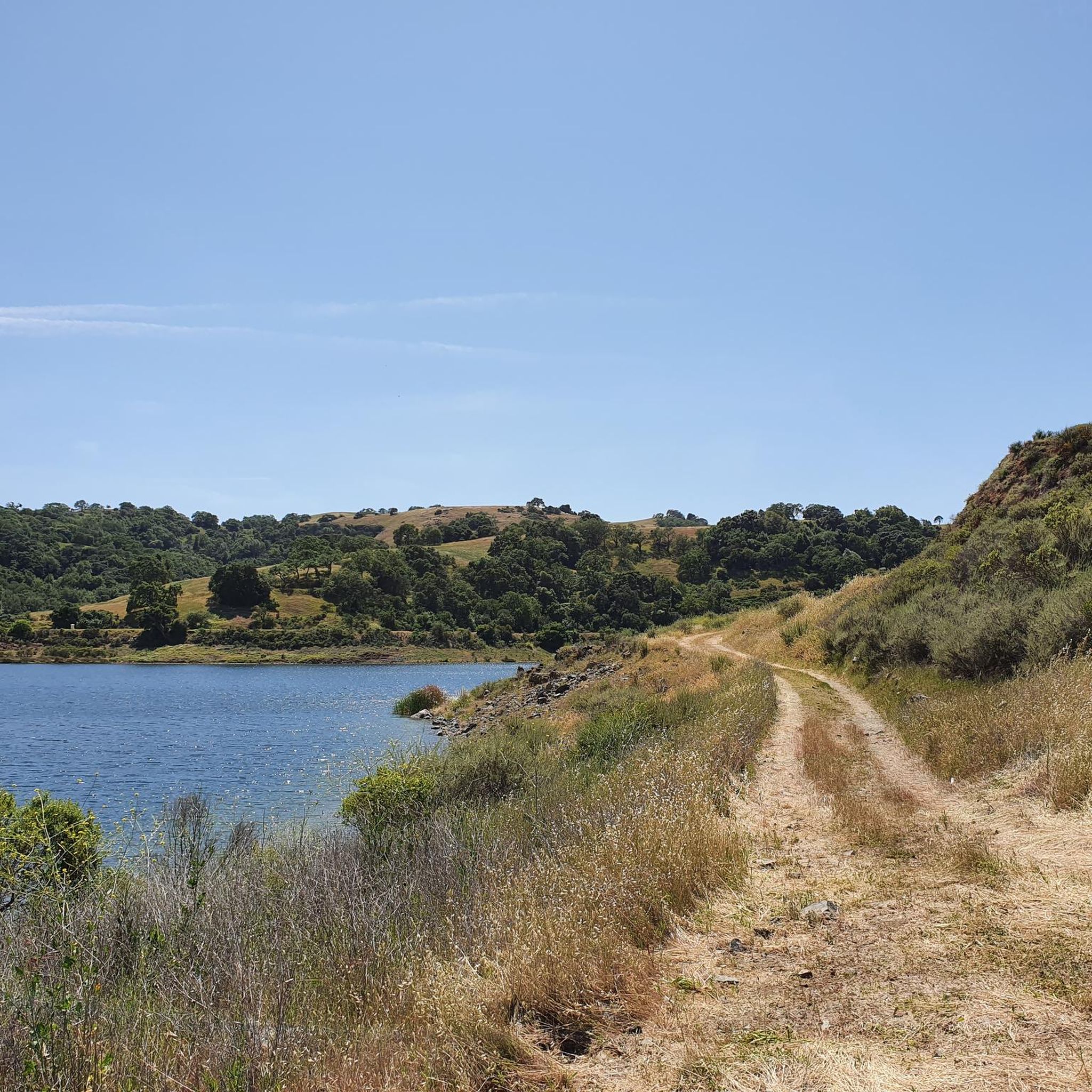
MTB Trails around Morgan Hill
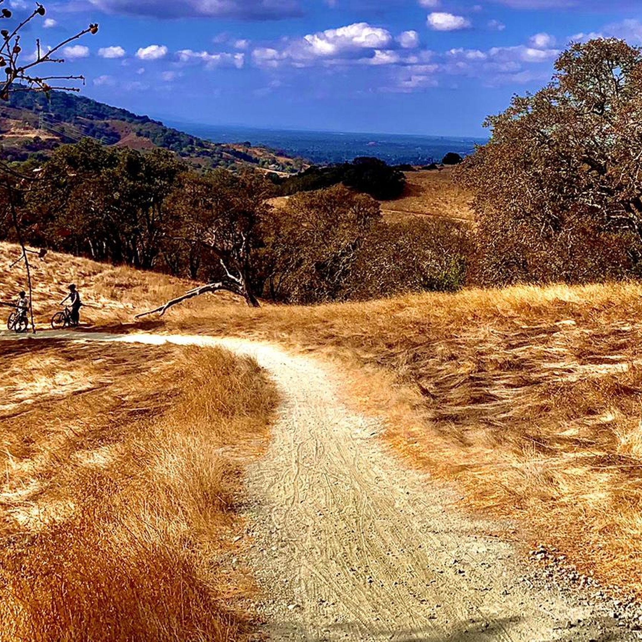
MTB Trails around San Jose
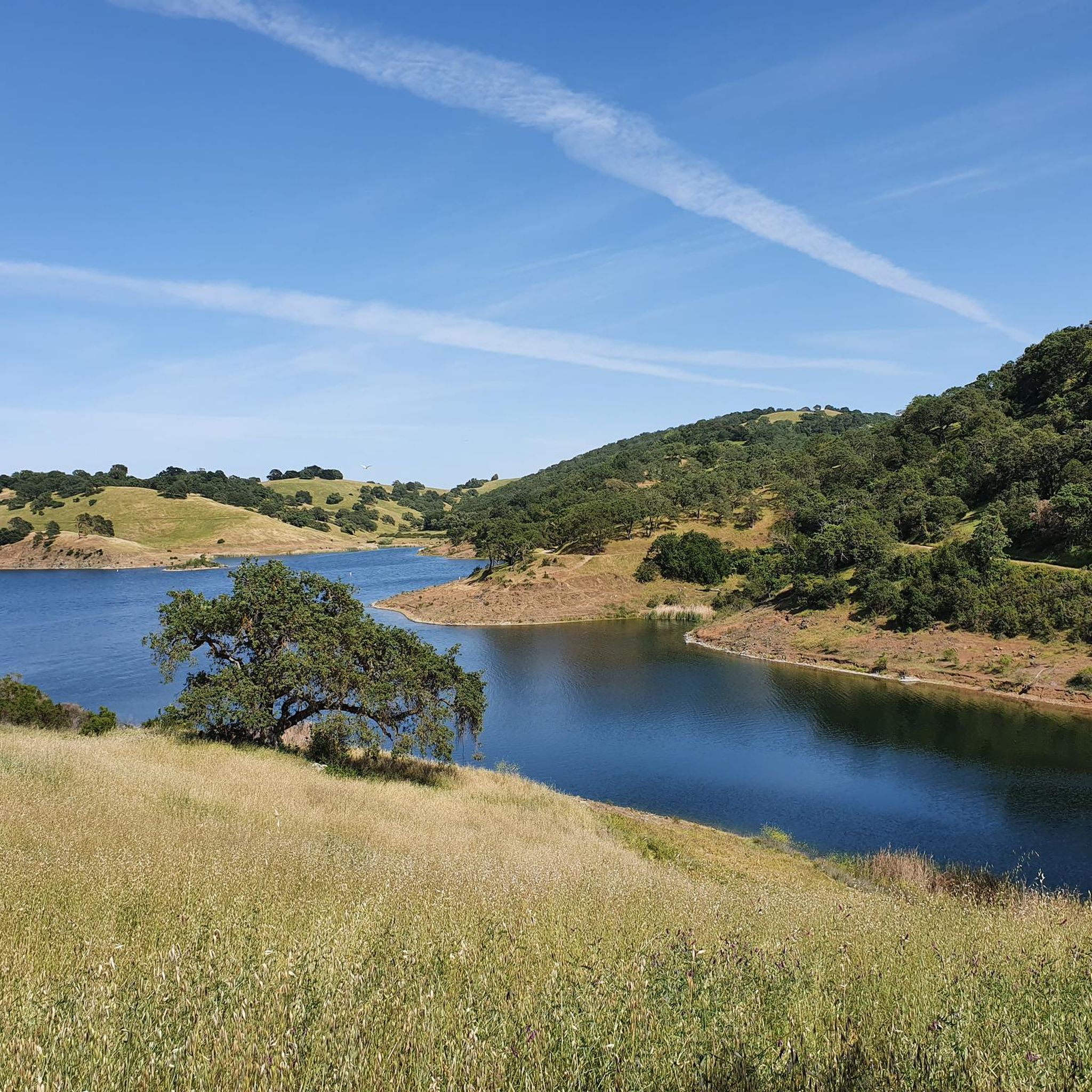
MTB Trails in Ranch Canada Del Oro Open Space Preserve (Closed Areas)
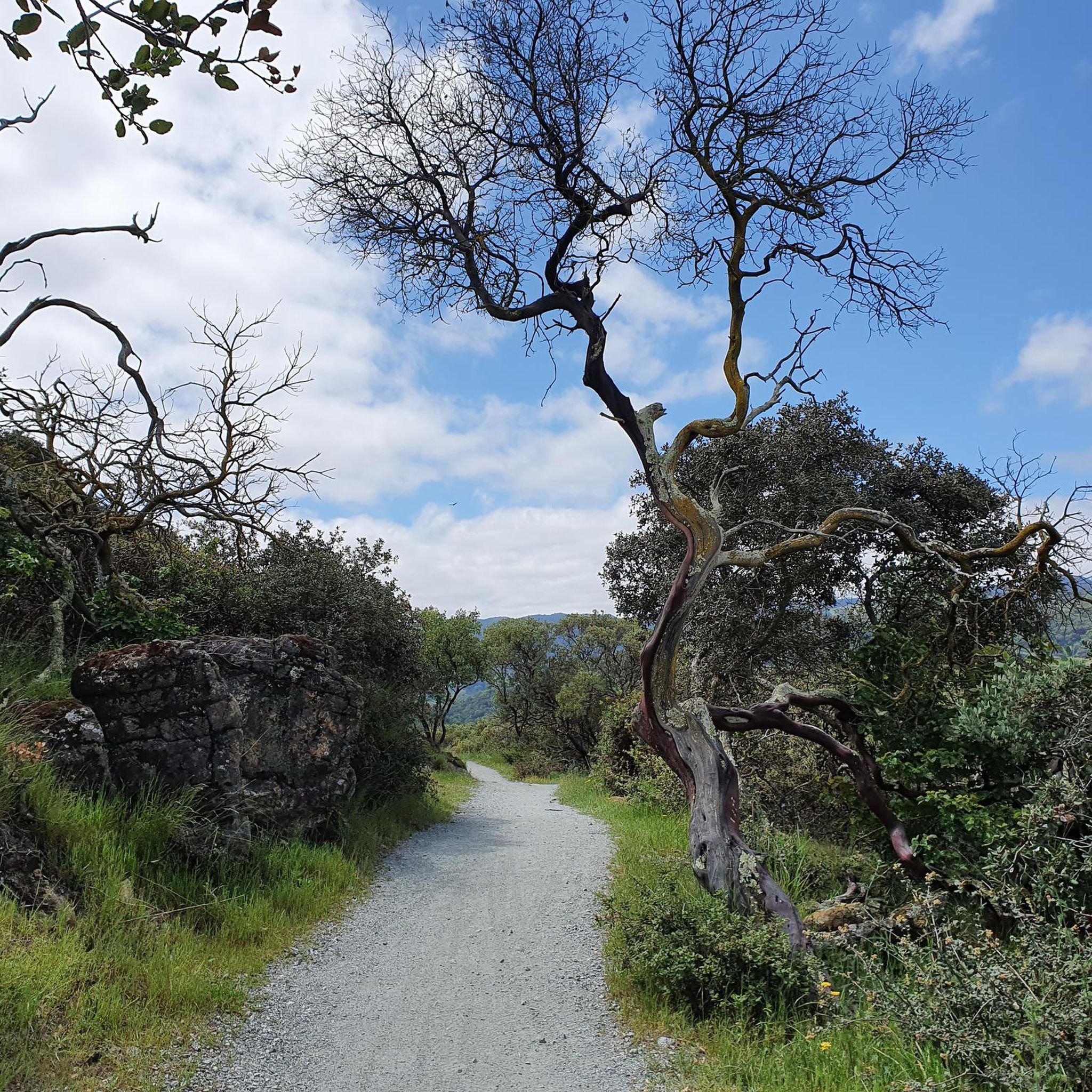
MTB Trails in Uvas Canyon County Park
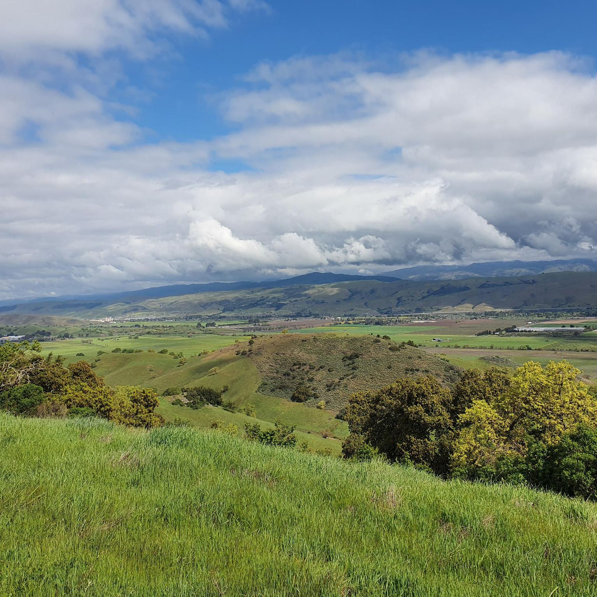
MTB Trails in Coyote Valley Open Space Preserve
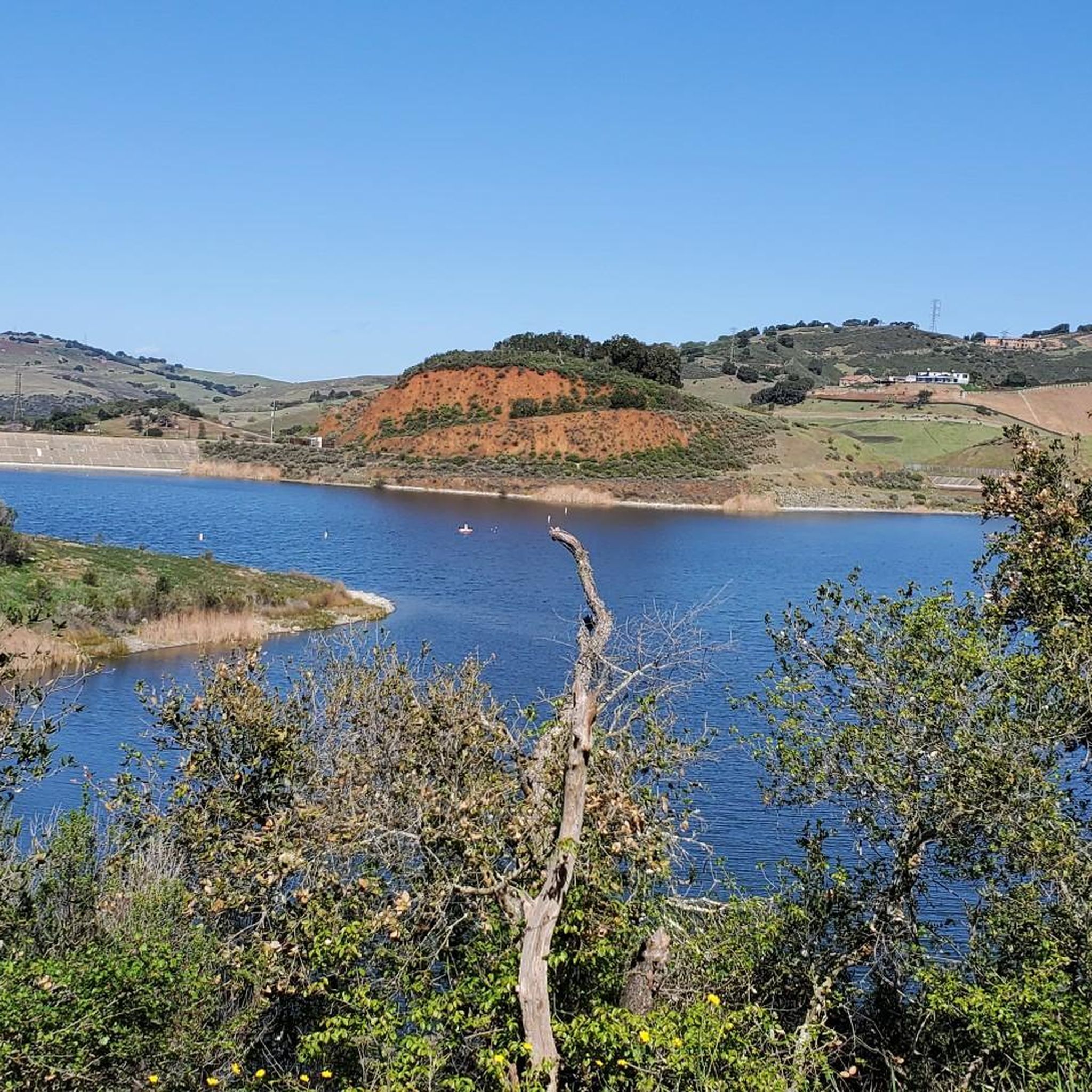
MTB Trails in Upper Uvas Creek Open Space Preserve (Closed Area)
MTB Trails in Felton Station Open Space Preserve (Closed)
Other adventures in Santa Clara County


Tips from the Community

Black Mountain, situated on Monte Bello Ridge, is a popular destination for hikers and mountain bikers. With an elevation of 2,812 feet, it's easy to understand why. From the summit, the views of the Santa Cruz Mountains and Silicon Valley are breathtaking.
0
0

Arrowhead is really the only trail in Coyote Valley but it's rideable in both directions. There are enough switchbacks, and viewpoints to keep things interesting over multiple visits.
1
0
At the summit of Mt Umunhum is an 8 story tower that was used as a radar outpost by the US Air Force until 1980. In addition to this piece of military history you'll also find stunning views in all directions. On clear days you can see as far as San Francisco and Monterey.
1
0
This stretch of double track fire road is more challenging than it might appear. For starters there are plenty of tight turns to keep an eye out for, plus at least one prolonged section with a 20% grade. It pairs nicely with the Woods Trail.
1
1

A small hike/bike-in campground with a vault toilet and (non-portable) water. You can oversee the lights of Bay Area at night and wake up above the cloud in the morning. You have to get a permit ($2) and the park rangers come and check the permit in the evening.
2
0

A fast and fun trail that predominantly runs through the trees. It can be ridden in both directions and is not overly technical.
1
0
This marks the beginning of the Woods Trail, that heads west into Sierra Azul hills. A couple of long MTB loops can be started from here.
1
0
This length of singletrack is absolutely stunning. Running through a mixture of small trees and open scrubland, and on a good quality surface, it can't get much better than this.
1
0
Frequently Asked Questions
How many mountain bike trails are available in Santa Clara County?
Santa Clara County offers a wide selection of mountain biking opportunities, with over 220 routes available. These trails cater to various skill levels, from easy scenic rides to challenging climbs.
What is the best time of year to go mountain biking in Santa Clara County?
Thanks to its pleasant climate, Santa Clara County is suitable for mountain biking year-round. Spring brings vibrant wildflower displays, while fall offers cooler temperatures and beautiful foliage. Even winter can be enjoyable, though some trails might be muddy after rain.
Are there any easy mountain bike trails suitable for beginners or families?
Yes, Santa Clara County has over 50 easy mountain bike trails. A great option for a gentler ride is the Redtail Loop to Arastradero Creek Trail Loop, which is 6.3 miles long and offers scenic views through open spaces. Another accessible choice is the Arrowhead Loop Trail, a shorter 4-mile route.
What kind of terrain can I expect on mountain bike trails in Santa Clara County?
The terrain in Santa Clara County is incredibly diverse, ranging from rolling hills and oak woodlands to expansive grasslands and chaparral habitats. You'll find trails in the Diablo Range and the foothills of the Santa Cruz Mountains, with elevations varying significantly. This variety ensures a wide range of experiences, from smooth paths to technical climbs.
Are there mountain bike trails that offer scenic viewpoints or natural features?
Absolutely. Many trails in Santa Clara County provide stunning vistas and pass by notable natural features. For example, the Canyon Trail, Indian Creek, Black Mountain route offers panoramic views. You can also find trails near beautiful water features like Uvas Reservoir and Coyote Lake, or explore areas with ancient bay-tree forests and spring wildflower displays.
Can I bring my dog on mountain bike trails in Santa Clara County?
Many parks and open spaces in Santa Clara County are dog-friendly, but regulations vary by specific park and trail. It's always best to check the individual park's rules regarding dogs, especially leash requirements, before heading out. Some trails may not permit dogs, or have specific hours for them.
Are there any loop trails for mountain biking in the area?
Yes, Santa Clara County features numerous loop trails perfect for mountain biking. The Mount Umunhum Loop is a popular moderate option, covering over 13 miles with significant elevation changes. Another great choice is the Bald Peaks and Longwall Canyon Loop, a moderate 8-mile ride.
What do other mountain bikers enjoy most about the trails in Santa Clara County?
The mountain biking routes in Santa Clara County are highly rated by the komoot community, with an average score of 4.5 stars from over 340 reviews. Reviewers often praise the diverse landscapes, the variety of challenges from easy to difficult, and the extensive trail systems that offer a true escape into nature.
Are there any challenging mountain bike trails for experienced riders?
For experienced riders seeking a challenge, Santa Clara County offers over 50 difficult trails. The Jim Donnelly and Grizzly Gulch Loop is a demanding 20.5-mile route with over 3,900 feet of elevation gain, providing a rigorous workout and rewarding views.
What kind of wildlife might I encounter on the trails?
Santa Clara County's diverse habitats, including oak woodlands, grasslands, and chaparral, support a variety of wildlife. You might spot deer, coyotes, various bird species, and smaller mammals. Always be mindful of your surroundings and respect the natural environment.
Are there any trails that offer views of prominent landmarks like Black Mountain?
Yes, several trails provide views of significant landmarks. For instance, the Canyon Trail, Indian Creek, Black Mountain route offers direct access and views of Black Mountain. Other trails in the region may offer distant views of peaks like Mount Umunhum or Mount Hamilton.
Most popular routes in Santa Clara County
Most popular attractions in Santa Clara County

Get inspired with the komoot mobile app


Didn’t find what you were looking for?
Check out more MTB trails throughout Santa Clara County below and find the perfect route in your destination.
Explore more
Browse the best MTB trails in other regions.
