Routes

Planner

Features

Updates

App

Login or Signup

Get the App

Login or Signup

Routes
Hikes
United States
Arkansas

Montgomery County

The best walks and hikes in Montgomery County

5.0

(1)

40

hikers

14

hikes

Hiking in Montgomery County is centered around the rugged terrain of the Ouachita National Forest. The region is characterized by forested hills, river valleys, and prominent rock features. Trails navigate through dense woodland, offering routes with significant elevation changes suitable for experienced hikers. The landscape includes paths along rivers like the Little Missouri.

Best hiking trails in Montgomery County

  • The most popular hiking route is Eagle Rock Loop, a 13.4 miles (21.6 km) difficult trail that takes around 6 hours 40 minutes to complete. This challenging path features significant elevation gain and follows a section of the Eagle Rock Trail.
  • Another top favourite among local hikers is Eagle Rock Loop, a moderate 8.7 miles (14.0 km) path. It offers varied terrain through the national forest.
  • Local hikers also love the Lake Ouachita Vista Trail: Tompkins Bend to Joplin, a 6.5 miles (10.4 km) trail leading through the Ouachita National Forest, often completed in about 2 hours 47 minutes.
  • Hiking in Montgomery County is defined by long-distance forest trails, mountain ascents, and paths along rivers like the Little Missouri. The trail network provides a range of options, though many routes are moderate to difficult.
  • The guide includes highly-rated routes that showcase the best of the region's landscape. More than 39 hikers have used komoot to explore Montgomery County's varied terrain.

Last updated: July 7, 2026

7

hikers

#1.

Little Missouri Trail to Winding Stairs

3.28km

00:55

50m

60m

The Little Missouri Trail to Winding Stairs offers a moderate hiking experience through the remote Ouachita National Forest, leading you past clear waters and through diverse woodlands. This 2.0-mile (3.3 km) out-and-back route, with only 155 feet (47 metres) of elevation gain, takes about 54 minutes to complete, making it an ideal choice for a relatively quick but rewarding journey. You'll encounter stately hardwoods, old-growth pine stands, and the stunning "Winding Stairs" rock formations along the Little Missouri River, where layered shelves create natural stair-like features.

Planning your visit requires a bit of preparation, as you'll need to cross the Little Missouri River and several creeks multiple times. The rocks can be slick, and high water levels after rain can make crossings dangerous, so always check conditions beforehand. The trail is open to foot traffic and mountain bikes only, ensuring a quiet experience away from vehicles. While specific trailhead parking isn't detailed, expect to find access points typical of a national forest trail.

This trail is a celebrated part of the Ouachita Mountains, known for its hidden natural beauty and the sense of solitude it offers. The Little Missouri River itself is a highlight, with its emerald green pools and sections where the current surges around large boulders. You'll also spot large novaculite rock outcrops and tranquil river bottom forests shaded by towering umbrella magnolias, all contributing to the area's wild character.

Navigate with device

Send to Phone

Save

Moderate

Embark on an easy hike along the Lake Ouachita Vista Trail and Eagle Vista Loop, a 2.7-mile (4.4 km) route that offers delightful forest scenery and expansive views of Lake Ouachita. You will experience a gentle elevation gain of 92 feet (28 metres) over varied terrain, including compacted dirt paths. This loop provides a pleasant outdoor experience, perfect for a quick escape into nature, taking about 1 hour and 8 minutes to complete.

Planning your visit is straightforward, as the trail is easily accessible within the Ouachita National Forest. You will find numerous access points to the broader Lake Ouachita Vista Trail system, making it simple to locate parking and begin your adventure. The route is also dog-friendly, so feel free to bring your canine companion along to enjoy the natural surroundings.

This trail is particularly notable for its wildlife viewing opportunities, especially for bird enthusiasts. The Eagle Vista section is renowned for attracting bald eagles, particularly during the cooler winter months. Keep an eye out for these majestic birds as you traverse the loop, adding a unique highlight to your outdoor experience in the Ouachita National Forest.

Easy
guide_signup
Let us show you the way with the komoot mobile app
With a free komoot account, you can easily find, customize, and navigate endless outdoor adventures.

Sign up for free

1

hikers

1.04km

00:22

100m

0m

Embark on an easy hike along the Crystal Vista Trail, a unique route where you will discover sparkling fields of exposed quartz crystals. This path covers 0.6 miles (1.0 km) and involves a gentle climb of 344 feet (105 metres), taking approximately 22 minutes to complete. As you ascend to the summit on Mount Gardner, you are treated to panoramic vistas of the Ouachita National Forest, including distant hills and the potential glimpse of Lake Ouachita.

Planning your visit is simple, as parking is readily available at the trailhead. The trail welcomes dogs, so feel free to bring your furry friend to explore alongside you. Although the route is considered easy, the terrain can be rocky, making sturdy hiking boots a recommended choice for a more comfortable experience.

This trail stands out for its crystal-rich environment, offering a distinct natural encounter within the Ouachita National Forest. It provides a rewarding experience for both crystal enthusiasts and those who appreciate the diverse flora and fauna of the region. The unique geology makes it a notable destination for a short, immersive outdoor adventure.

Easy

Embark on a moderate hike along the Lake Ouachita Vista Trail from Tompkins Bend to Joplin, covering 6.5 miles (10.4 km) with an elevation gain of 437 feet (133 metres). You can expect this route to take about 2 hours and 47 minutes to complete. As you hike, you will pass through mixed hardwood and pine forests, enjoying beautiful views of Lake Ouachita. Keep an eye out for the notable Traildog Vista, offering a great spot to pause. The path is winding, featuring some short, steep sections and numerous spring-fed streams.

This segment of the Lake Ouachita Vista Trail is ideal if you enjoy section hiking. You will find parking available at the Tompkins Bend trailhead, which serves as the starting point for this particular route. There are no specific permits or fees mentioned for accessing this part of the trail. Consider starting your hike early to enjoy the cooler temperatures and peaceful morning light.

Beyond the scenic lake views, this trail offers a glimpse into the region's unique geology. As you traverse the route, you may encounter remnants of old quartz crystal mines and unusual rock formations. These features add an interesting historical and natural dimension to your outdoor experience in the Ouachita National Forest.

Moderate

1.40km

00:22

10m

10m

Embark on an easy hike along the Sunset Vista Trail, a short route perfect for a quick escape into nature. This trail winds through the serene woodlands of Ouachita National Forest, offering pleasant views of the surrounding trees and potentially glimpses of Lake Ouachita in the distance. You will cover 0.9 miles (1.4 km) with a gentle elevation gain of just 48 feet (15 metres), making it an accessible option for nearly everyone. Expect to spend around 22 minutes immersing yourself in the peaceful forest environment, enjoying the fresh air and natural scenery.

Planning your visit to the Sunset Vista Trail is straightforward. The route is situated within the expansive Ouachita National Forest, a region known for its natural beauty. You will generally find parking available at trailheads throughout the national forest, but it is always wise to check local signage upon arrival for specific instructions. Before heading out, make sure to look for any temporary closures or alerts that might affect your trip. This easy trail is ideal for a morning stroll or an afternoon outing, offering a refreshing break from your day.

The Sunset Vista Trail provides a wonderful opportunity to experience the natural beauty of the Ouachita National Forest. While specific detailed descriptions for this particular easy route are not widely available, its proximity to the longer Lake Ouachita Vista Trail (LOViT) suggests it shares the same rich forest environment. It serves as an excellent introduction to the area's woodlands, allowing you to connect with nature without committing to a longer excursion. This trail is a great way to enjoy the forest's tranquility and perhaps spot some local wildlife.

Easy

Hike the moderate 4.7-mile Lake Ouachita Vista Trail: Mtn Harbor Rd - Lookout Tower for panoramic views of Lake Ouachita.

Moderate

791m

00:13

20m

0m

Discover the Rockhouse Trail, an easy hiking route that guides you through the peaceful woodland setting of the Ouachita National Forest. This short path covers just 0.5 miles (0.8 km) with a gentle elevation gain of 70 feet (21 metres), making it a perfect quick escape. You can expect to complete the route in about 13 minutes, enjoying the forest's tranquility and the sounds of nature as you go. Look out for the diverse plant life that thrives along the way, offering a refreshing break in a scenic environment.

Planning your visit to the Rockhouse Trail is straightforward. The route is easily accessible within the Ouachita National Forest. You should find convenient parking available at trailheads in national forests, so locating a spot to begin your hike won't be an issue. No specific permits or fees are mentioned for this particular trail, allowing for hassle-free access. This makes it an ideal choice if you are looking for a spontaneous outdoor activity without much preparation.

The Rockhouse Trail offers a simple yet immersive experience within the natural beauty of the Ouachita National Forest. While specific landmarks are not highlighted for this route, its charm lies in the quiet immersion it provides into the forest's ecosystem. It's a great option if you want to connect with nature and enjoy a brief, easy walk. Consider this trail for a moment of calm amidst your adventures in the wider Ouachita region.

Easy

5.0

(1)

7

hikers

21.6km

06:40

430m

430m

The Eagle Rock Loop offers a rugged and rewarding hiking experience through the Ouachita National Forest, traversing diverse landscapes from mixed hardwood and pine forests to lush river valleys. You'll encounter numerous creek and river crossings, including the Little Missouri River, which often requires wet crossings. The trail features impressive natural landmarks like the Winding Stairs area with its unique rock formations and the expansive views from Eagle Rock Vista, making it a memorable journey for those seeking a challenge.

This difficult 13.4-mile (21.6 km) route involves 1420 feet (433 metres) of elevation gain and typically takes around 6 hours and 40 minutes to complete. It's considered one of Arkansas's toughest loop hikes, demanding good physical condition and preparation for its strenuous nature and tricky water crossings. While relatively accessible from Little Rock, plan your visit carefully, especially regarding water levels in the spring.

Historically, the Eagle Rock Loop combines three distinct trails, tracing back to a 100-year-old postal route and old wagon roads. It's often seen as a "test piece" for experienced hikers due to its challenging terrain, which includes crossing nine mountains and navigating significant vertical activity. The trail provides ample opportunities for remote camping, often conveniently located near water sources, enhancing its appeal for backpackers.

Hard

2

hikers

Hike a moderate 9.9 miles (15.9 km) section of the Lake Ouachita Vista Trail (LOViT) through forests with lake views.

Moderate

1

hikers

13.9km

04:34

280m

280m

The Eagle Rock Loop is a fantastic way to experience the Ouachita National Forest, guiding you through a mix of rolling mountains, lush river valleys, and shaded forests. You'll encounter rocky sections underfoot and enjoy the beauty of crystal-clear streams, with the impressive Little Missouri Falls being a standout feature along the way. This moderate 8.7-mile (13.9 km) hiking route, with its 919 feet (280 metres) of elevation gain, typically takes about 4 hours and 33 minutes to complete, making it a solid half-day or full-day adventure.

Planning your visit is relatively simple, as no permits or fees are required to hike or camp on the loop. The trail is accessible year-round, but many find the cooler temperatures of fall and spring to be the best time to visit. Parking is generally available at trailheads, though it's always wise to arrive early during peak seasons. Remember to carry enough water, especially during warmer months.

While this specific route is a moderate day hike, the larger Eagle Rock Loop is renowned as Arkansas's longest and most challenging loop, often used as a test piece for experienced backpackers. The area is rich in natural scenery, from unique rock formations to expansive vistas, and its origins as a 100-year-old postal route add a layer of history to your journey through the Ouachita wilderness.

Moderate
Sign up for free to see 5 more hikes in Montgomery County.

Get access to more routes and recommendations from other explorers.

Sign up for free

Already have an account?

Our route recommendations are based on thousands of hikes, rides, and runs completed by other people on komoot.

Start today with a free account

Your next adventure awaits.
Login or Signup

Popular around Montgomery County

Ouachita National Recreation Trail — Backcountry bliss

Eagle Rock Loop — An epic three day wilderness hike

MTB Trails in Montgomery County

Other adventures in Montgomery County

Ouachita National Recreation Trail — Backcountry bliss

Hiking Collection by

Sue

Tips from the Community

Tom Strodtbeck
December 3, 2023, Spirit Rock Vista

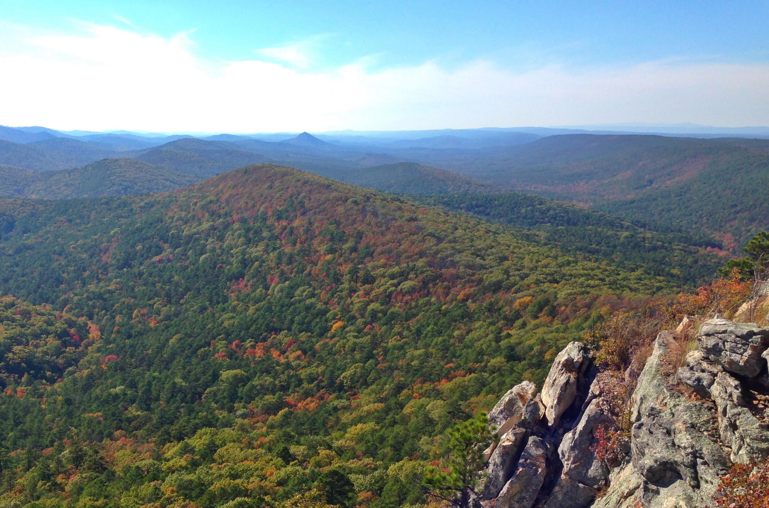
A prominent feature along the Eagle Rock Loop Trail with picturesque views over the diverse landscape of dense forests and rocky terrain in the Ouachitas.

1

0

Tom Strodtbeck
November 30, 2023, Lake Ouachita

The largest lake in Arkansas. It is a pristine lake with very little shoreline development. It is surrounded by the 1.8 million acre Ouachita National Forest.

0

0

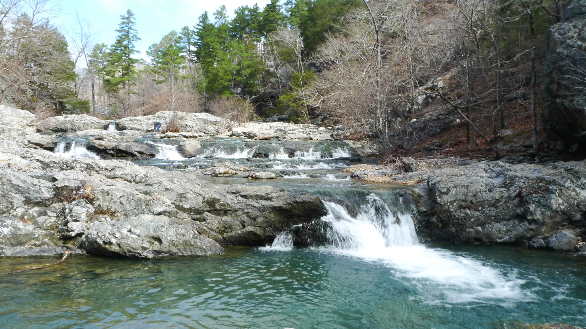
The Winding Stairs is a 2 mile segment of the much longer Eagle Rock Loop. This trail starts off at forest service road 106, and heads south along the Little Missouri River. The trail offers beautiful views of the cascades, swimming holes, and interesting rock formations. Primitive camping is allowed along the trail. Be prepared to cross the river several times.

2

0

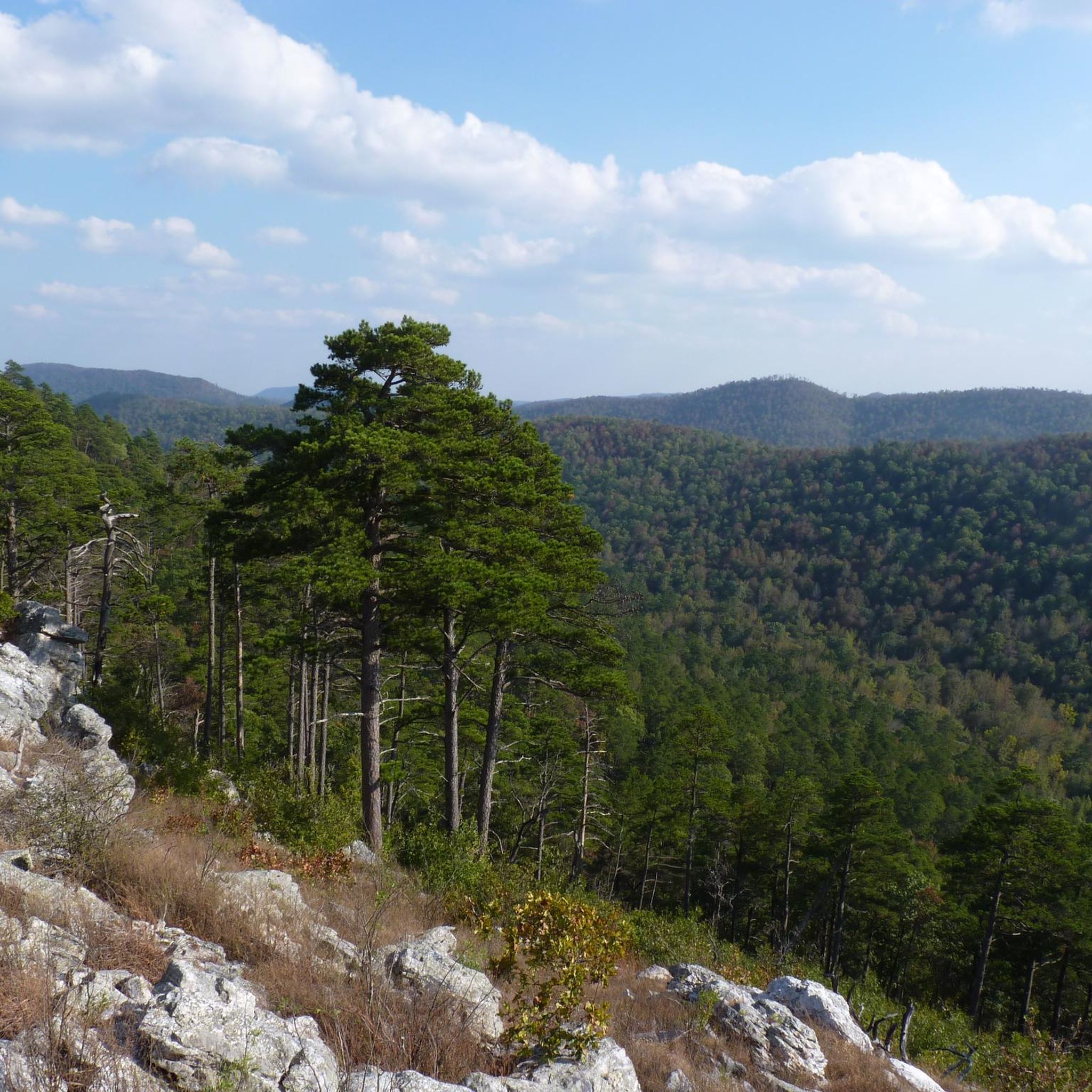
Great views over the forest just off the trail, and a good spot to take a break on this tough trail!

0

0

The falls are a short series of cascades which lead into a small pool that is popular for swimming. The falls are known for their picturesque beauty, especially after periods of rain when the water flow is higher.

1

0

The largest lake in Arkansas. It is a pristine lake with very little shoreline development. It is surrounded by the 1.8 million acre Ouachita National Forest.

1

0

As always, pretty good view from here, if you don't mind the detour...

0

0

Spectacular View - well worth the five extra minutes.

1

0

Frequently Asked Questions

Are there any challenging hikes in Montgomery County?

Yes, the region is known for its challenging terrain. Many trails feature significant elevation changes. For a demanding day out, consider the Long Creek Crossing – Brush Heap Mountain Junction loop from Leader Saddle, which covers over 14 miles and involves substantial climbing through the Ouachita National Forest.

What are the trails like in the Ouachita National Forest?

The trails in the Ouachita National Forest are characterized by forested hills, rugged terrain, and river valleys. You can expect dense woodlands and routes with considerable elevation gain. A good example of this landscape is the Athens Big Fork North Trail, which takes you deep into the forest environment.

Are there any hikes with waterfalls or river views?

Many trails follow the region's rivers. The Eagle Rock — Little Missouri Falls Trails loop is an excellent choice for scenery that includes the Little Missouri River and its falls, offering a rewarding experience for a moderate hike.

What is a good option for a long-distance hike?

The area is well-suited for long-distance hiking. The Eagle Rock Trail to Winding Stairs loop is a difficult but popular option, covering over 13 miles of the Eagle Rock Trail and offering a true backcountry experience.

Are there any moderate hikes available?

While many trails are difficult, there are moderate options. The LOVIT Trail — Denby Bay offers a less strenuous experience, with minimal elevation change over its course through the Ouachita National Forest.

How many hiking trails are in this guide?

This guide features a curated selection of the top hikes in the area. While there are 7 routes detailed here, they represent some of the best and most popular trails that showcase the region's rugged beauty.

What kind of scenery can I expect while hiking here?

Hiking in Montgomery County is defined by its immersion in the Ouachita National Forest. Expect dense, hilly woodlands, prominent rock features, and paths that follow scenic river valleys like the Little Missouri. The trails offer a sense of remoteness and natural beauty.

Are the trails suitable for beginners?

The trails in this region tend to be moderate to difficult, with significant elevation changes and rugged paths. While there is one trail rated as easy, most routes require a good level of fitness and hiking experience. It's best to check the difficulty grade of each trail before setting out.

What do other hikers enjoy about Montgomery County?

Hikers who have explored Montgomery County on komoot often seek out the challenging, long-distance forest trails. The rugged terrain of the Ouachita National Forest and the rewarding climbs are frequently highlighted as key features of the hiking experience here.

Are there any circular or loop trails?

Yes, several of the recommended routes are loops, allowing you to start and end in the same place without retracing your steps. The Long Creek Crossing – Brush Heap Mountain Junction loop and the Eagle Rock — Little Missouri Falls Trails loop are two great examples.

Most popular routes in Montgomery County

Easy hikes in Montgomery County

Most popular attractions in Montgomery County

Places to see

Store rating

Get inspired with the komoot mobile app

With a free komoot account, you can easily find, customize, and navigate endless outdoor adventures.

or

Join komoot Now

Store rating

Explore more

Browse the best Hikes in other regions.

Benton CountyWashington CountyOzark-St. Francis National ForestOuachita National ForestPulaski CountyNewton CountyPerry CountyGarland CountyBaxter CountyMadison CountyPope CountyFaulkner CountyMarion CountyYell CountySearcy CountyPolk CountyFranklin CountyBoone CountyConway CountyJohnson CountyHoward CountyHot Spring CountySaline CountyCrawford CountyStone CountySebastian CountyCarroll CountyCleburne CountyVan Buren CountyCrittenden CountyLogan CountyScott CountyPike County

Nearby adventure guides

Things to Do in Ouachita National Forest

Things to Do in Scott County

background

Get ready to conquer new peaks

Sign up for Free

Explore
RoutesRoute plannerFeaturesHikesMTB TrailsRoad cycling routesBikepackingSitemap
Download the app
Follow Us on Socials

© komoot GmbH

Privacy Policy