The best cycling routes in Wagoner County
5.0
(12)
51
riders
4
rides
Touring cycling in Wagoner County offers routes through Oklahoma's "Green Country," characterized by lush forests, expansive lakes, and river systems. The region features varied terrain, including paved trails and scenic roads, providing a suitable environment for cycling. Fort Gibson Lake and the Arkansas River are prominent natural features, influencing many of the available routes. The landscape generally presents gentle elevation changes, making it accessible for various skill levels.
Best touring cycling routes in Wagoner County
- The most popular touring cycling…
Last updated: August 12, 2026
5.0
(1)
18
riders
43.6km
02:32
190m
190m
Moderate bike ride. Good fitness required. Mostly paved surfaces. Suitable for all skill levels.
5.0
(1)
12
riders
69.0km
04:01
320m
320m
Moderate bike ride. Good fitness required. Mostly paved surfaces. Suitable for all skill levels.

Sign up for free
5.0
(2)
10
riders
66.0km
03:49
320m
320m
Moderate bike ride. Good fitness required. Mostly paved surfaces. Suitable for all skill levels.
5.0
(2)
5
riders
Moderate bike ride. Good fitness required. Mostly paved surfaces. Suitable for all skill levels.
5.0
(1)
2
riders
69.8km
04:03
310m
310m
Moderate bike ride. Good fitness required. Mostly paved surfaces. Suitable for all skill levels.
Our route recommendations are based on thousands of hikes, rides, and runs completed by other people on komoot.
Start today with a free account
Your next adventure awaits.
Login or Signup
Popular around Wagoner County


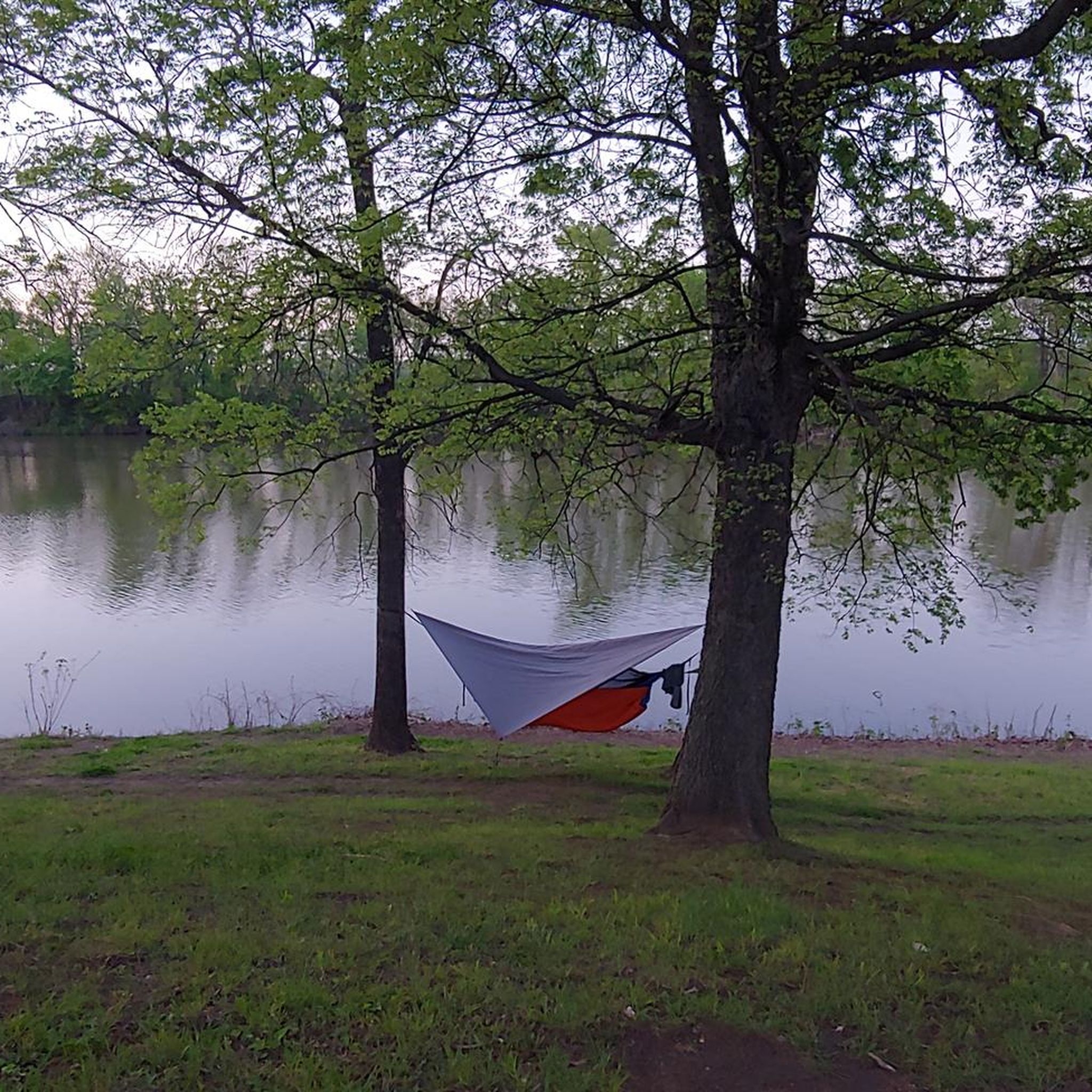
Tips from the Community


The Meadow Gold Sign is a historic neon sign along Route 66 in Tulsa. It was put up in the 1930s at 11th & Lewis by Meadow Gold Dairy.
0
0
Great view of the Arkansas River from the intersection of the Joe Creek Trail and River Parks East Bank Trail.
1
0
The Creek Turnpike Trail is a 6-mile-long trail that follows a creek. The trail is fully paved and is popular with hikers, runners, and cyclists.
0
0
The Riverparks East Bank Trail runs north–south along the east bank of the Arkansas River through Tulsa. It is 10.5 miles long and is fully paved, so it is an easy ride.
0
0

The Arkansas River winds its way through the heart of Oklahoma, offering a stunning backdrop to the vibrant city of Tulsa and its natural gem, Turkey Mountain. This stretch of the river is more than just a body of water – it's a place brimming with history, recreation, and breathtaking natural beauty.
0
0

The Riverparks West Bank Trail runs through the Turkey Mountain Urban Wilderness Area. Along the trail you'll pass through the wooded area and have views over the Arkansas River. This is a multi-use trail with markings to separate cyclists and pedestrians. It is generally paved and relatively flat. Please note that the trail is closed overnight. From this trail you can also access other walking trails within the park, some of which take you up Turkey Mountain.
1
0
Turkey Mountain Park is next to the Arkansas River in the middle of Tulsa. This is a popular public park that covers over 600 acres of native trees. From this location you can access the many walking trails, including those that take you up Turkey Mountain. You can also get onto the Riverparks West Bank Trail from here, which is a multi-use trail that runs parallel to the river. There is a decent size parking lot with toilets.
0
0
Frequently Asked Questions
What kind of terrain can I expect on touring cycling routes in Wagoner County?
Wagoner County offers varied terrain, primarily characterized by gentle elevation changes, making it accessible for different skill levels. You'll find routes along the Arkansas River, through forested areas, and on dedicated paved trails, providing a mix of natural settings and smoother surfaces.
Are there any easy touring cycling routes suitable for beginners in Wagoner County?
Yes, Wagoner County has routes suitable for beginners. For instance, the Flat Tire loop from Liberty Trail Parking Lot is an easy 14.3-mile trail that takes about 1 hour 19 minutes to complete, leading through established trail systems.
What are some scenic natural features or landmarks I can see while cycling in Wagoner County?
Many routes offer views of Fort Gibson Lake and the Arkansas River, which are prominent natural features. Sequoyah State Park, located on Fort Gibson Lake, features a paved trail through woods and fields, connecting to Inspiration Point with scenic lake views. The region is part of Oklahoma's "Green Country," known for its lush forests and tranquil environment.
What is the best time of year for touring cycling in Wagoner County?
The changing seasons in Wagoner County offer beautiful cycling conditions. Spring brings vibrant displays of redbud and dogwood blossoms, while fall showcases colorful foliage from hickory, oak, and red maple trees, enhancing the visual appeal for cyclists. These seasons generally provide pleasant temperatures for outdoor activities.
Are there any family-friendly touring cycling options in Wagoner County?
Sequoyah State Park is an excellent option for families, featuring a 2.6-mile paved trail that runs downhill through woods and fields. This provides an easy and dedicated path away from traffic, suitable for family rides. The park's natural setting also offers opportunities to observe local wildlife.
Can I bring my dog on the touring cycling trails in Wagoner County?
While specific dog policies vary by location, paved trails within areas like Sequoyah State Park are generally suitable for cycling with leashed dogs. It's always recommended to check the specific rules of individual parks or trail systems before you go.
Where can I find parking for touring cycling routes in Wagoner County?
Many routes, such as the Flat Tire loop from Liberty Trail Parking Lot, indicate starting points with available parking. For routes within Sequoyah State Park, parking is typically available within the park facilities. For routes near the Arkansas River, look for designated parking areas at trailheads or public access points.
Are there any cafes or restaurants near the touring cycling routes in Wagoner County?
The city of Wagoner itself has a historic downtown area that offers charming atmospheres for stops and exploration, likely including cafes and restaurants. For routes near Sequoyah State Park, you might find options in nearby Hulbert. For routes closer to the Arkansas River, areas like Muskogee could provide amenities.
What do other touring cyclists enjoy most about cycling in Wagoner County?
The komoot community highly rates the touring cycling experience in Wagoner County, with an average score of 5.0 stars from over 10 reviews. Cyclists often praise the varied terrain, which includes routes along the Arkansas River and through forested areas, as well as the availability of dedicated paved trails.
Are there any longer, more challenging touring cycling routes available?
Yes, for those seeking longer rides, routes like The Gathering Place – Arkansas River loop from Arrow Springs offer a moderate 45.2-mile path with extensive river views. Another option is the Liberty Parkway Trail – Arkansas River loop from Arrow Springs, which covers 66 miles.
How many touring cycling routes are available in Wagoner County?
There are at least 5 touring cycling routes detailed for Wagoner County, ranging from easy to moderate difficulty, providing options for various preferences and skill levels.
Are there any loop routes for touring cyclists in Wagoner County?
Yes, many of the touring cycling routes in Wagoner County are designed as loops. Examples include the Flat Tire – Liberty Parkway Trail loop from TCC Nature Reserve and the Creek Turnpike Trail – Flat Tire loop from South Broken Arrow Library, offering convenient circular journeys.
Most popular routes in Wagoner County

Get inspired with the komoot mobile app


Didn’t find what you were looking for?
Check out more Cycling routes throughout Wagoner County below and find the perfect route in your destination.
Explore more
Browse the best Cycling routes in other regions.
