The best running trails in Hinsdale County
26
runners
17
runs
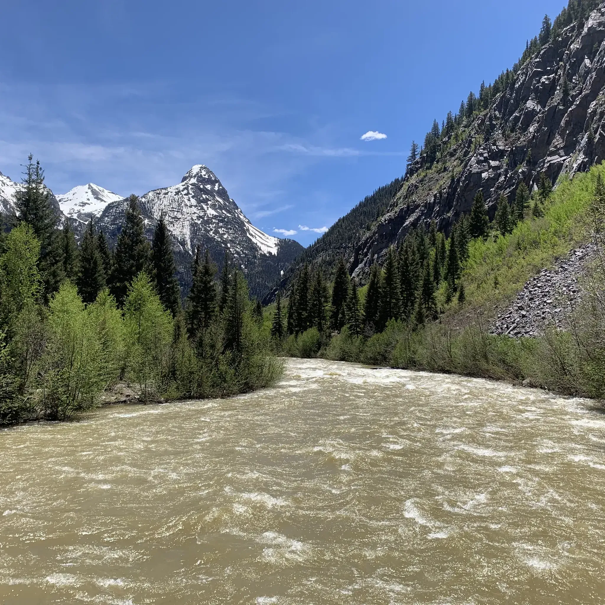
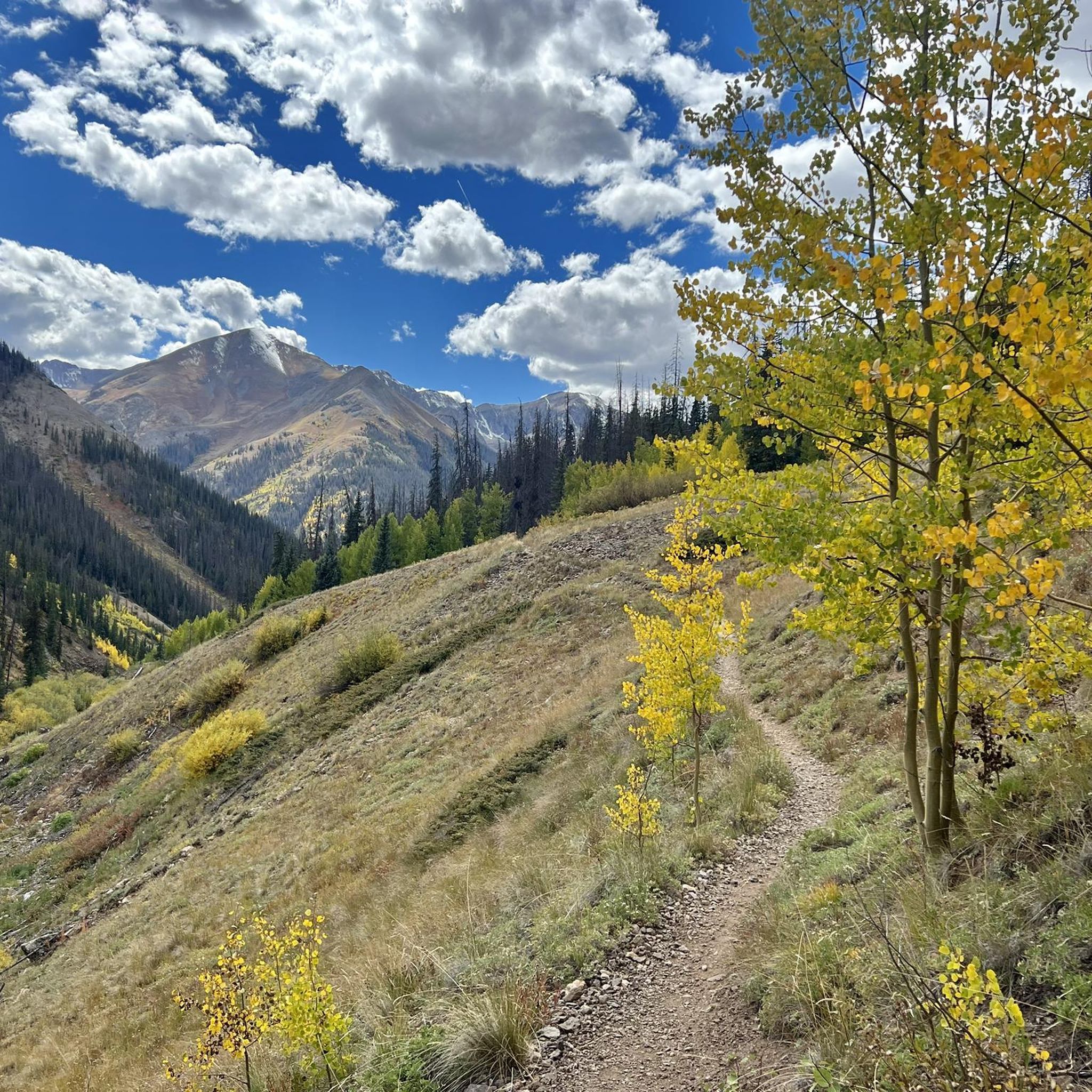
Jogging routes in Hinsdale County, Colorado, traverse a remote and mountainous landscape, with approximately 96.5% of the area comprising public lands within the San Juan, Rio Grande, and Uncompahgre National Forests. The region is characterized by majestic mountains, including several "Fourteeners" over 14,000 feet, and is bisected by the Continental Divide. Extensive trail networks, such as sections of the Colorado Trail and Continental Divide Trail, offer diverse running experiences through alpine environments and past pristine lakes like Lake San Cristobal.
…Last updated: October 10, 2026
10
runners
19.5km
03:16
1,330m
1,330m
Embark on a difficult jogging adventure to Redcloud & Sunshine Peaks, a challenging route spanning 12.1 miles (19.5 km) with a significant elevation gain of 4349 feet (1326 metres). You…
5
runners
12.7km
02:24
1,080m
1,080m
Embark on a difficult jogging route up Handies Peak from Silver Creek/Grizzly Gulch, a challenging journey covering 7.9 miles (12.7 km) with a significant elevation gain of 3541 feet (1079…

3
runners
12.0km
02:03
850m
850m
If you are looking for a truly challenging jogging route, the Uncompahgre Peak Trail offers a difficult ascent over 7.5 miles (12.0 km) with a significant 2775 feet (846 metres)…
2
runners
24.3km
03:55
1,450m
1,450m
Embark on an epic high-alpine journey combining Wetterhorn Peak and Uncompahgre Peak, two of Colorado's most iconic fourteeners. This difficult route spans 15.1 miles (24.3 km) with an intense 4752…
2
runners
8.73km
01:33
670m
670m
If you are looking for a challenging high-alpine jogging experience, Handies Peak via American Basin Trail offers a difficult 5.4 miles (8.7 km) route. You will gain 2191 feet (668…
1
runners
5.41km
00:53
470m
470m
The Courthouse Mountain Trail offers a truly demanding yet incredibly rewarding jogging experience, taking you through varied terrain from dark forests to exposed alpine tundra. As you ascend, you'll navigate…
1
runners
10.6km
01:07
130m
130m
The Piedra River Trail offers a moderate jogging experience, covering 6.6 miles (10.6 km) with an elevation gain of 415 feet (126 metres). You can expect to complete this route…
1
runners
46.8km
06:52
1,990m
1,990m
Colorado Trail: Segment 21 offers a difficult jogging experience across 29.1 miles (46.8 km) with a significant 6536 feet (1992 metres) of elevation gain. You can expect to spend around…
1
runners
54.8km
07:27
1,720m
1,720m
Colorado Trail: Segment 22 offers a challenging jogging experience, covering 34.1 miles (54.8 km) with a substantial 5642 feet (1720 metres) of elevation gain. This difficult route, estimated to take…
43.2km
05:33
980m
980m
The Ute Creek and West Ute Trail Loop offers a difficult jogging experience through the Weminuche Wilderness. You will cover 26.8 miles (43.2 km) with a significant elevation gain of…
Get access to more routes and recommendations from other explorers.
Already have an account?
Our route recommendations are based on thousands of hikes, rides, and runs completed by other people on komoot.
Start today with a free account
Your next adventure awaits.
Popular around Hinsdale County
Running Trails in Weminuche Wilderness
Running Trails in Redcloud Peak Wilderness Study Area
Running Trails in American Flats Wilderness Study Area
Running Trails in Handies Peak Wilderness Study Area
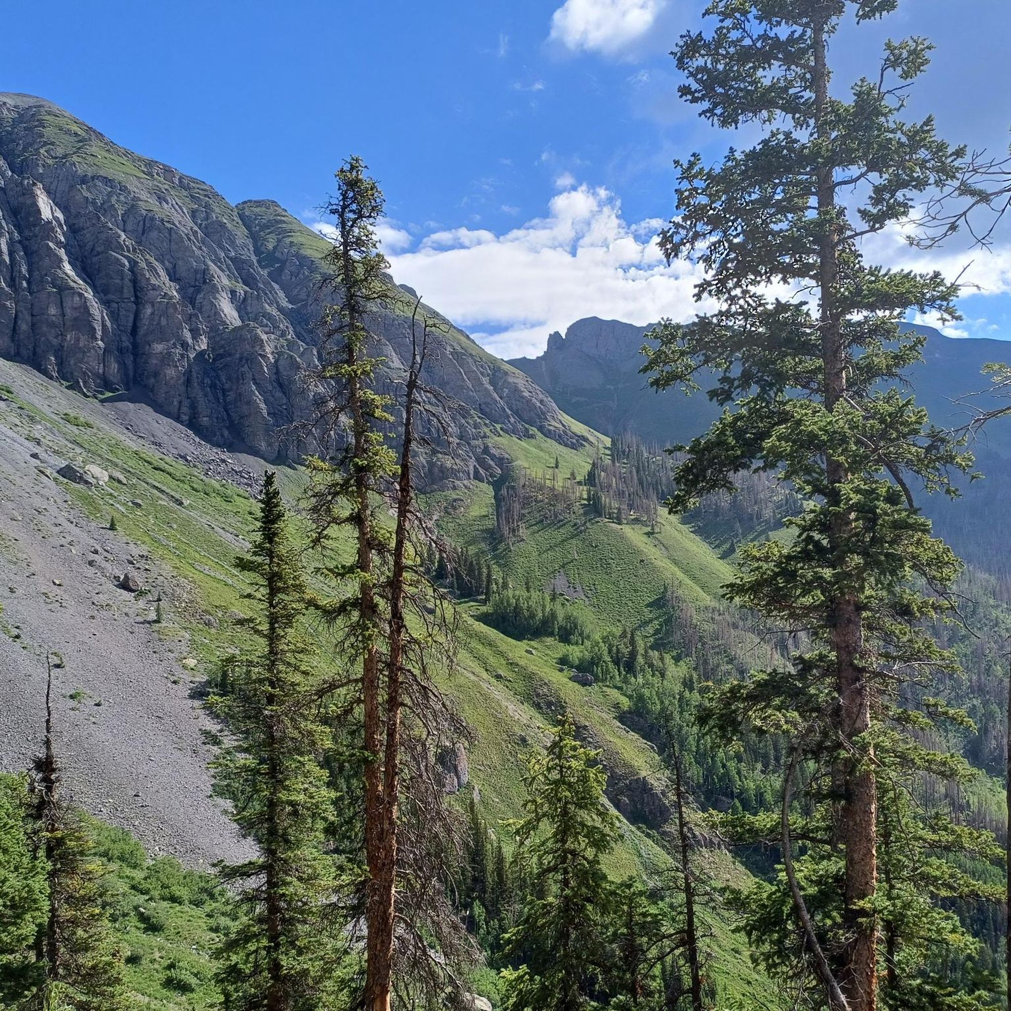
Running Trails in Uncompahgre Wilderness
Running Trails in Uncompahgre Wilderness
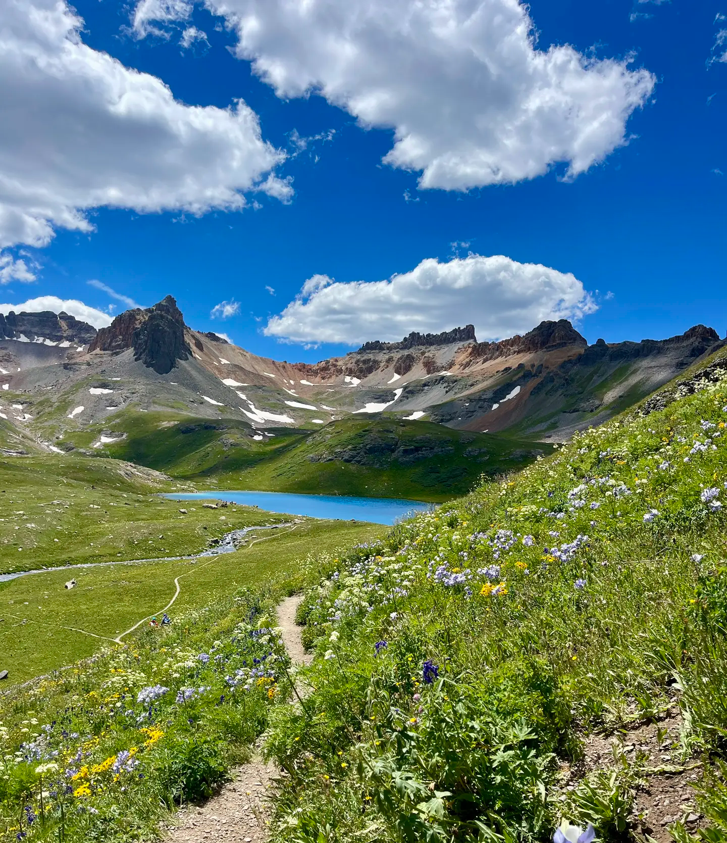
Softrock 100: Four Days Through Colorado’s Alpine Wilds

The Colorado Trail — Ten incredible days in the Rocky Mountains

Colorado Trail — The pinnacle of wild Colorado
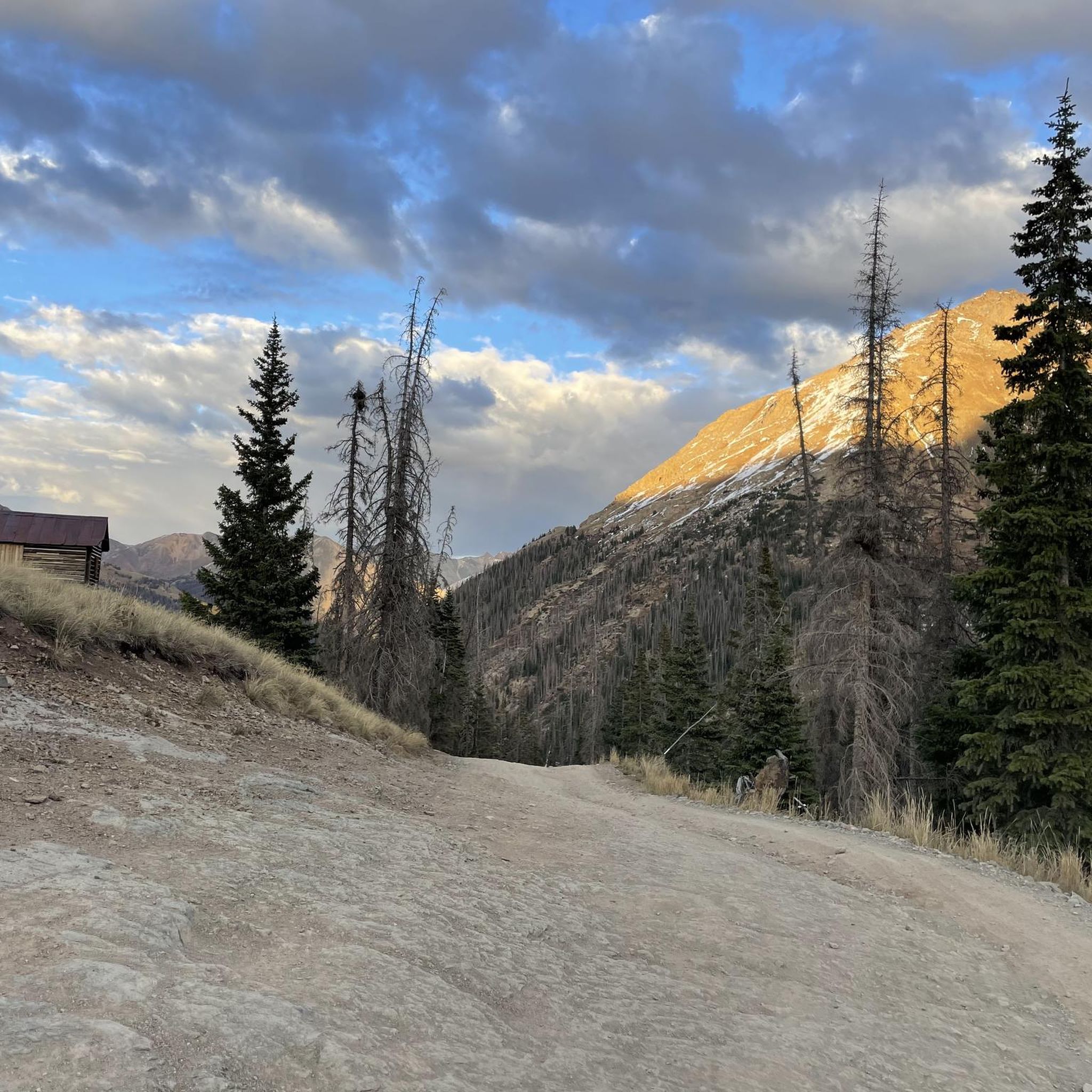
Hiking in Hinsdale County


Tips from the Community


San Luis Pass is located in a ditch between two steep climbs along the Colorado Trail. San Luis Peak is not visible from here.
2
0
Spring Creek Pass is the access point for hikers of the Colorado Trail/Continental Divide Trail to get into Lake City - unique hiker town. The hitch might not be too easy, but it is worth the wait. The trailhead has plenty of parking and a pit toilet.
0
0

Here you will encounter a confluence of different singletrack trails and gravel roads. About a mile up the gravel road to the north is Carson, an old, well-preserved ghost town. Section 22 of the Colorado Trail runs east, and section 23 heads south. The Continental Divide Trail follows the same route as the CT.
0
0
Two information boards and a medium sized parking lot are located at the American Basin Trailhead. This is a great starting point to summit Handies Peak since you are already pretty high up in elevation. To get here though, you should have a car with high-clearance and 4x4.
3
0
The American Basin is a popular spot along the Alpine Loop. There are some dispersed campsites, a reliable stream and the trailhead to summit Handies Peak that towers over the basin.
3
0
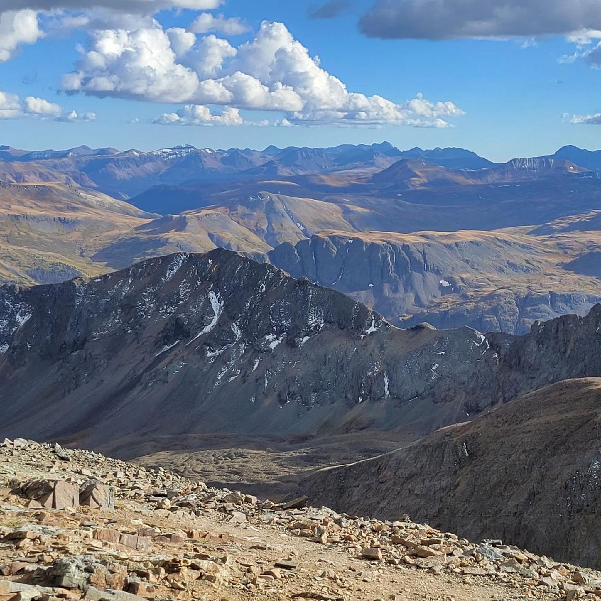
With an elevation of 14,058 feet, Handies Peak is one of the Colorado 14,000ers. You can access the summit either from the American Basin, passing beautiful Sloan Lake or via Grizzly Gulch from Cinnamon Pass Road on the other side of the mountain. The view from the top is spectacular! Keep in mind, that the weather can change quickly and expect thunderstorms especially during the summer months. So start your hike early and descent in the early afternoon at the latest.
3
0
The Uncompahgre Peak Trail climbs steeply up the peak from here. There is a short class 2 section near the top, but this route is very doable. You can also take the Big Blue Creek Trail north of here up a short but steep set of switchbacks to another junction. From there you can take the relatively flat Ridge Stock Driveway Trail along the ridge above treeline to get fantastic views of the north Uncompahgre Wilderness or dive into the remote northern mountain valleys.
0
0
Frequently Asked Questions
What kind of terrain can I expect on running trails in Hinsdale County?
Hinsdale County offers a predominantly mountainous and remote landscape. You'll encounter extensive trail networks, including sections of the Colorado Trail and Continental Divide Trail, often through high-alpine environments. Many routes feature significant elevation changes, leading to majestic mountains and "Fourteeners" over 14,000 feet. The region's trails are generally challenging, with 15 out of 17 routes listed as difficult, and only 2 as moderate.
Are there any easy or moderate running routes available in Hinsdale County?
While Hinsdale County is known for its challenging high-altitude trails, there are a couple of moderate options among the 17 routes available. Most of the running routes in the area are rated as difficult, often involving significant elevation gain and rugged terrain suitable for experienced runners. For example, routes like Redcloud & Sunshine Peaks and Handies Peak from Silver Creek/Grizzly Gulch are considered difficult.
What are some notable natural features or landmarks I might see while running in Hinsdale County?
Hinsdale County is rich in natural beauty. You can encounter several "Fourteeners" like Uncompahgre Peak, Handies Peak, and Redcloud Peak, offering dramatic backdrops. The Continental Divide traverses the county, providing access to its namesake trail. Other highlights include Lake San Cristobal, Colorado's second-largest natural lake, and the unique Slumgullion Earthflow, a National Natural Landmark. You might also pass through historic mining areas and ghost towns, adding a historical dimension to your run.
Can I find running routes that are suitable for families in Hinsdale County?
Given the remote and challenging nature of most trails in Hinsdale County, with 15 out of 17 routes rated as difficult, options specifically designated as 'family-friendly' for running might be limited. The terrain often involves significant elevation and rugged paths. However, some sections of the extensive trail networks, particularly around Lake San Cristobal or lower elevation areas, might offer more accessible paths for walking or easier jogs, though specific family-friendly running routes are not prominently featured.
Are dogs allowed on the running trails in Hinsdale County?
Hinsdale County's vast public lands, including parts of the San Juan, Rio Grande, and Uncompahgre National Forests, generally welcome dogs on trails. However, it's always recommended to check specific trail regulations before heading out, especially for wilderness areas or designated sensitive habitats. Always keep your dog on a leash and practice Leave No Trace principles to protect the natural environment.
What is the best time of year for running in Hinsdale County?
The best time for running in Hinsdale County is typically during the warmer months, from late spring through early fall (roughly June to September). During this period, snow has usually melted from higher elevations, and trails are more accessible. The region's high-altitude environment means that even in summer, mornings can be cool, and weather can change rapidly. Winter running options are limited due to heavy snow, though some groomed trails might be adaptable for snowshoeing or cross-country skiing.
Are there any loop or circular running routes in the area?
Yes, Hinsdale County offers several loop running routes. For example, the Ute Creek and West Ute Trail Loop is a significant circular route covering over 43 kilometers. These loops provide varied scenery without retracing your steps, allowing you to experience more of the diverse alpine environments and natural features of the San Juan Mountains.
Where can I find parking for running trails in Hinsdale County?
Parking for running trails in Hinsdale County is typically available at various trailheads, especially along scenic byways like the Silver Thread Scenic Byway (State Highway 149) and at mountain passes such as Spring Creek Pass and Cinnamon Pass. These locations often serve as access points for the Colorado and Continental Divide Trails. Due to the remote nature of the county, it's advisable to plan your route and check for designated parking areas in advance.
What are the typical distances of running routes in Hinsdale County?
Running routes in Hinsdale County vary significantly in distance, catering to different endurance levels. You can find shorter, challenging ascents like the Courthouse Mountain Trail at around 5.4 kilometers, to much longer, multi-hour runs such as Colorado Trail: Segment 22, which spans over 54 kilometers. Many routes are designed for high-altitude endurance, often covering distances between 10 to 25 kilometers.
Are there any specific challenges or considerations for running in Hinsdale County?
Running in Hinsdale County presents unique challenges due to its high-altitude, remote, and mountainous environment. Many trails ascend to over 14,000 feet, requiring acclimatization and excellent physical condition. Weather can change rapidly, even in summer, so proper gear and preparation are essential. The extensive public lands offer solitude, but also mean limited services, so carrying enough water, food, and navigation tools is crucial. Always inform someone of your plans before heading out.
What makes Hinsdale County a unique destination for trail running?
Hinsdale County stands out for its unparalleled sense of wilderness and solitude, with nearly 96.5% of its land being public. It's nestled in the heart of the San Juan Mountains, offering dramatic views of several "Fourteeners" and access to major long-distance trails like the Colorado Trail and Continental Divide Trail. The combination of majestic peaks, pristine lakes like Lake San Cristobal, and a rich mining history provides a diverse and rewarding experience for trail runners seeking both physical challenge and natural beauty.
Can I combine running with other outdoor activities in Hinsdale County?
Absolutely. Hinsdale County is an outdoor enthusiast's paradise. After a challenging run, you can enjoy fishing or boating on Lake San Cristobal, explore historic mining sites, or simply relax amidst the stunning alpine scenery. The extensive trail networks are also popular for hiking and mountain biking, making it easy to combine activities or for groups with varied interests to enjoy the region together.
Most popular attractions in Hinsdale County

Get inspired with the komoot mobile app


Didn’t find what you were looking for?
Check out more Running Trails & Routes throughout Hinsdale County below and find the perfect route in your destination.
Explore more
Browse the best Running Trails & Routes in other regions.
