The best road cycling routes in Ada County
4.7
(31)
2,019
riders
77
rides
If you've ever tried to plan road cycling in Ada County, you know how overwhelming the options can be. With so many routes available, it's hard to tell which ones are genuinely worth your time and effort, and which are just filler. That's where we come in. Our komoot community has mapped, ridden, and reviewed countless routes here, saving you the guesswork and pointing you straight to the rides truly worth your legs.
Ada County offers a fantastic mix for…
Last updated: May 31, 2026
5.0
(9)
221
riders
Moderate road ride. Good fitness required. Some segments of this route may be unpaved and difficult to ride.
4.7
(3)
131
riders
46.6km
02:16
640m
640m
Moderate road ride. Good fitness required. Mostly well-paved surfaces and easy to ride.

5.0
(1)
121
riders
56.2km
02:39
700m
700m
Moderate road ride. Good fitness required. Mostly well-paved surfaces and easy to ride.
5.0
(5)
163
riders
Moderate road ride. Great for any fitness level. Some segments of this route may be unpaved and difficult to ride.
5.0
(1)
54
riders
Moderate road ride. Good fitness required. Some segments of this route may be unpaved and difficult to ride.
47
riders
24.6km
01:00
90m
90m
Easy road ride. Great for any fitness level. Mostly well-paved surfaces and easy to ride.
5.0
(1)
46
riders
Easy road ride. Great for any fitness level. Mostly well-paved surfaces and easy to ride.
42
riders
51.4km
02:51
260m
260m
Moderate road ride. Good fitness required. Some segments of this route may be unpaved and difficult to ride.
Get access to more routes and recommendations from other explorers.
Already have an account?
Our route recommendations are based on thousands of hikes, rides, and runs completed by other people on komoot.
Start today with a free account
Your next adventure awaits.
Popular around Ada County
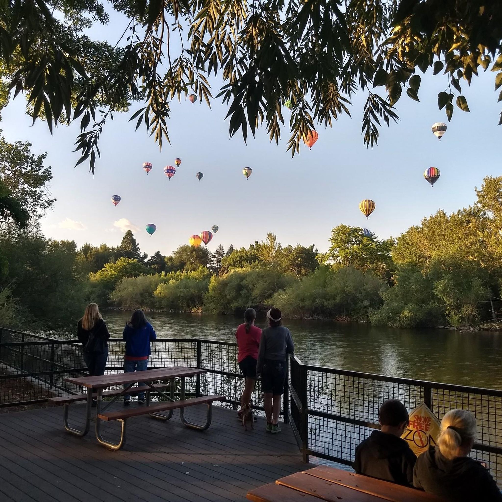
Road Cycling Routes around Boise
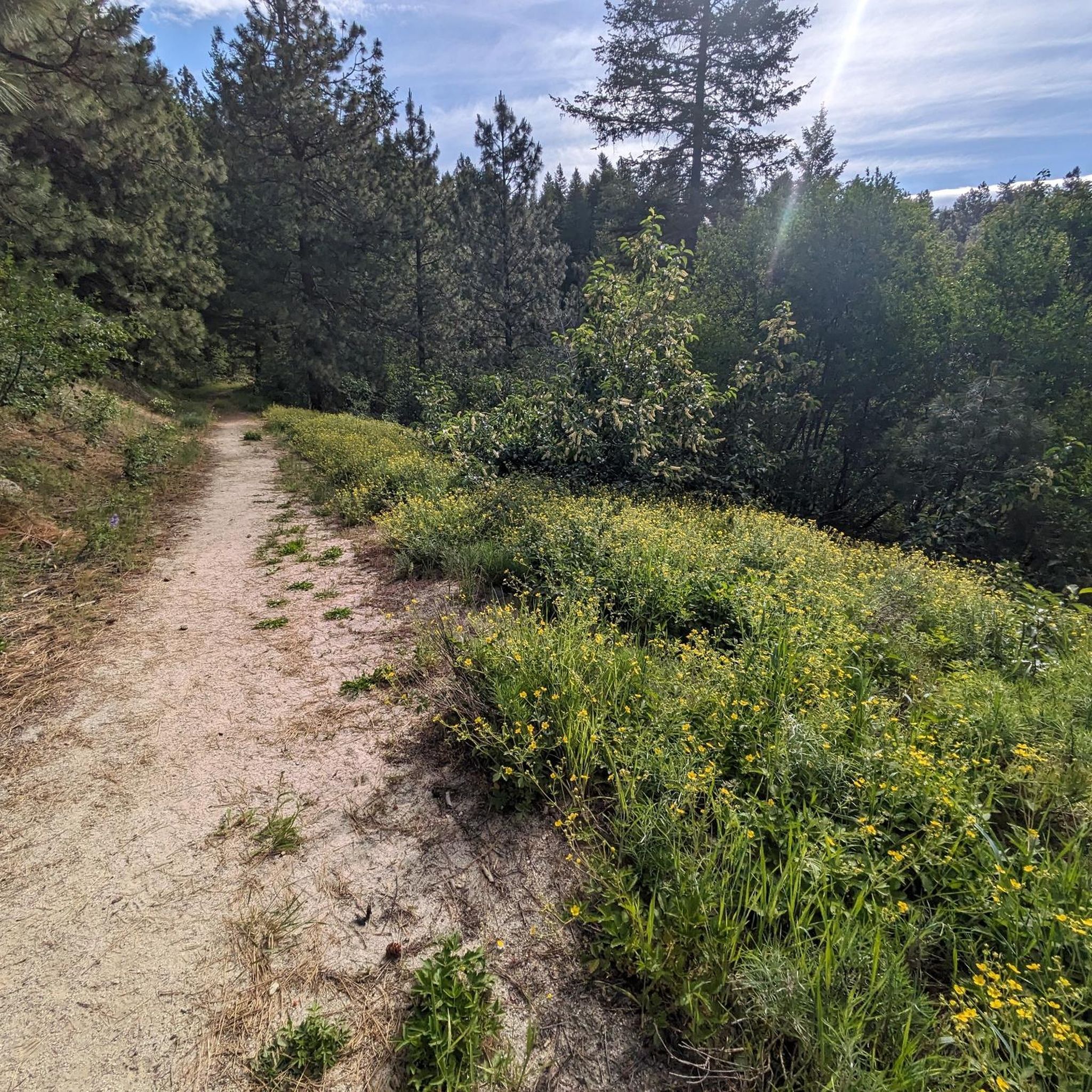
Road Cycling Routes around Eagle
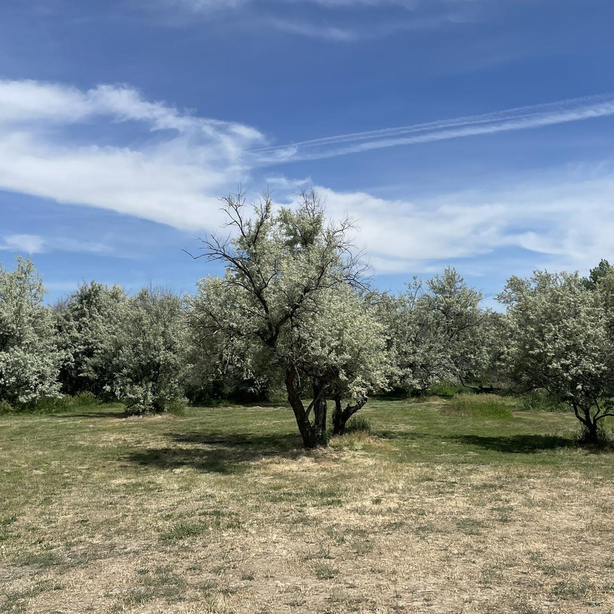
Road Cycling Routes around Meridian
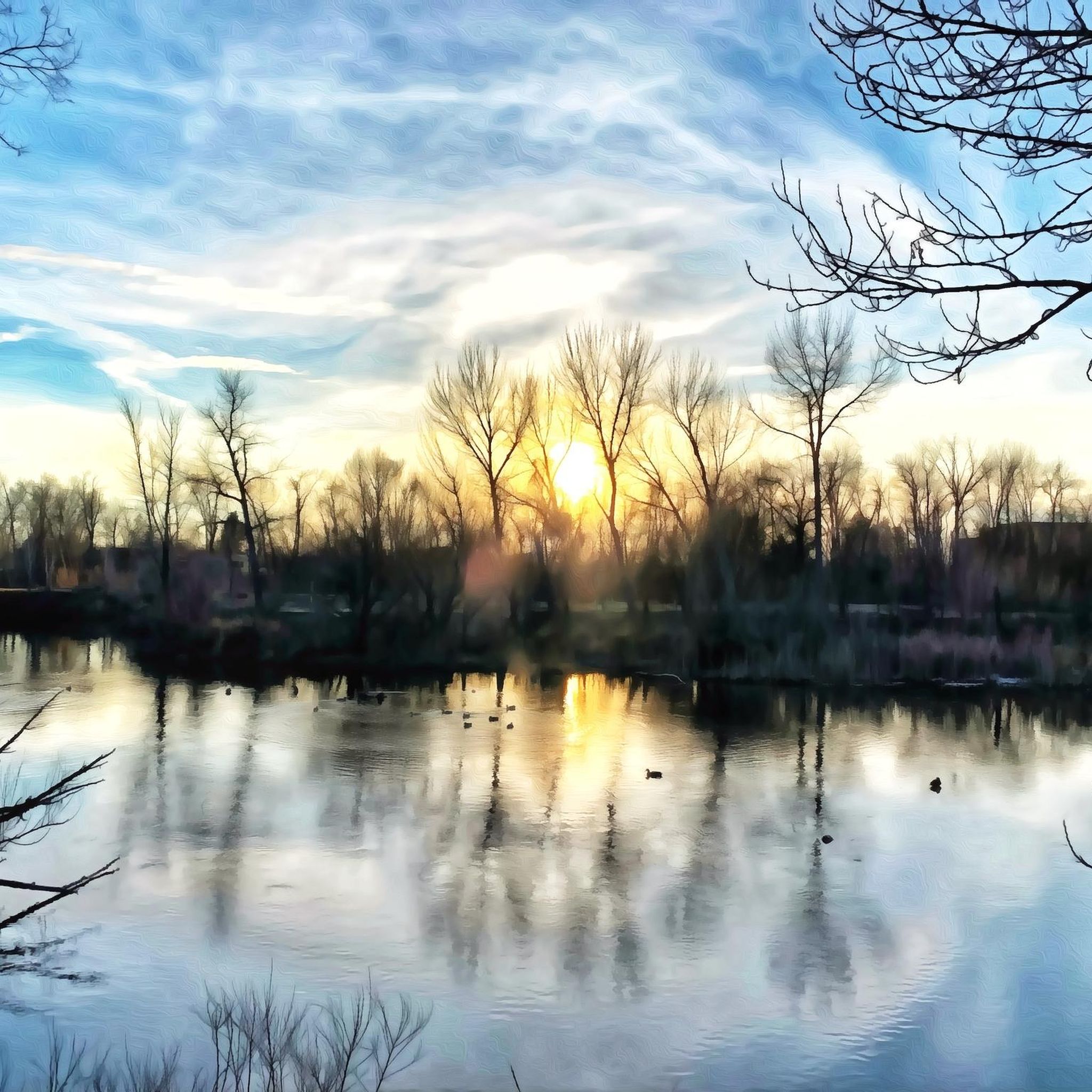
Road Cycling Routes around Garden City

Road Cycling Routes around Hidden Springs
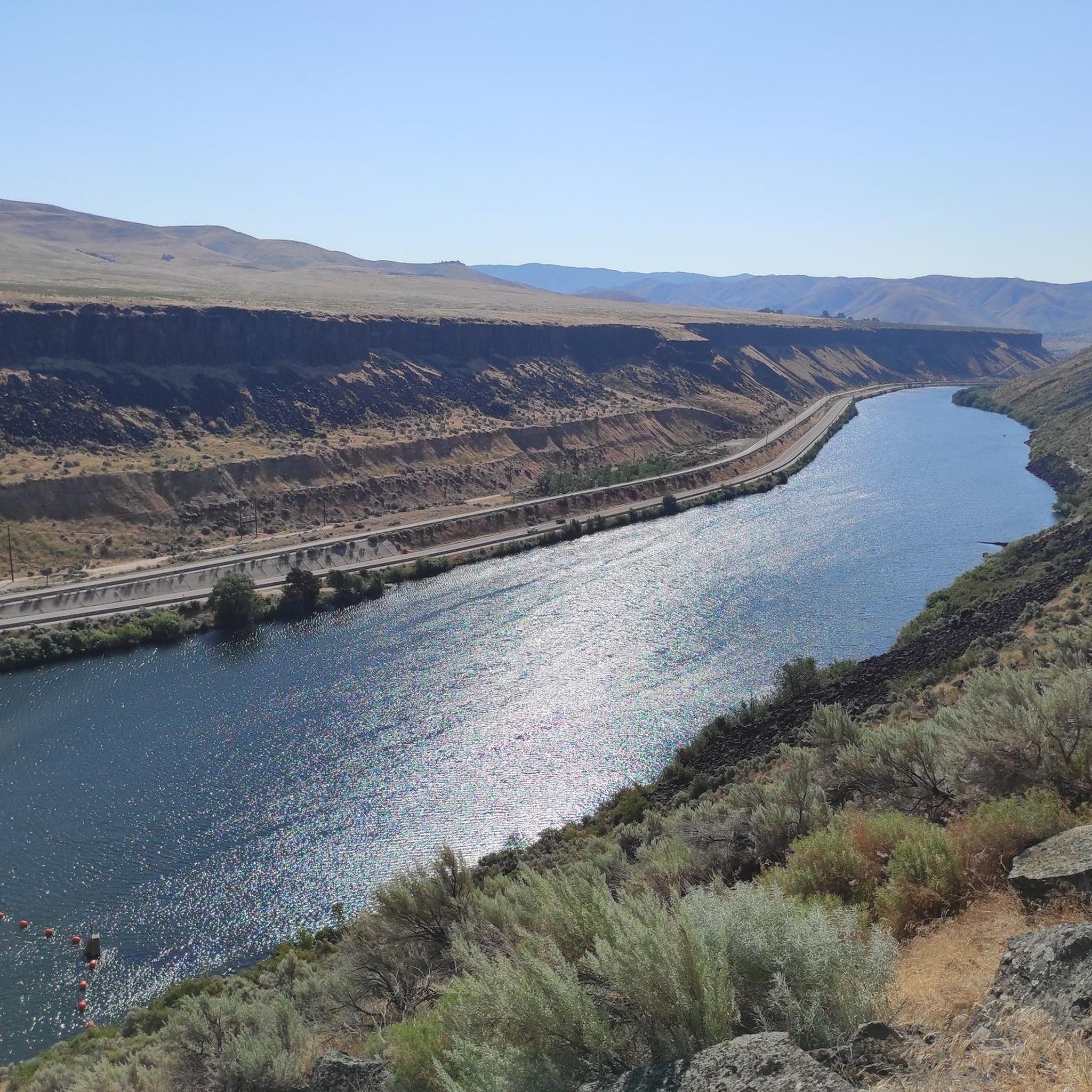
Road Cycling Routes in Lucky Peak State Recreation Area

Road Cycling Routes around Star

Road Cycling Routes around Avimor
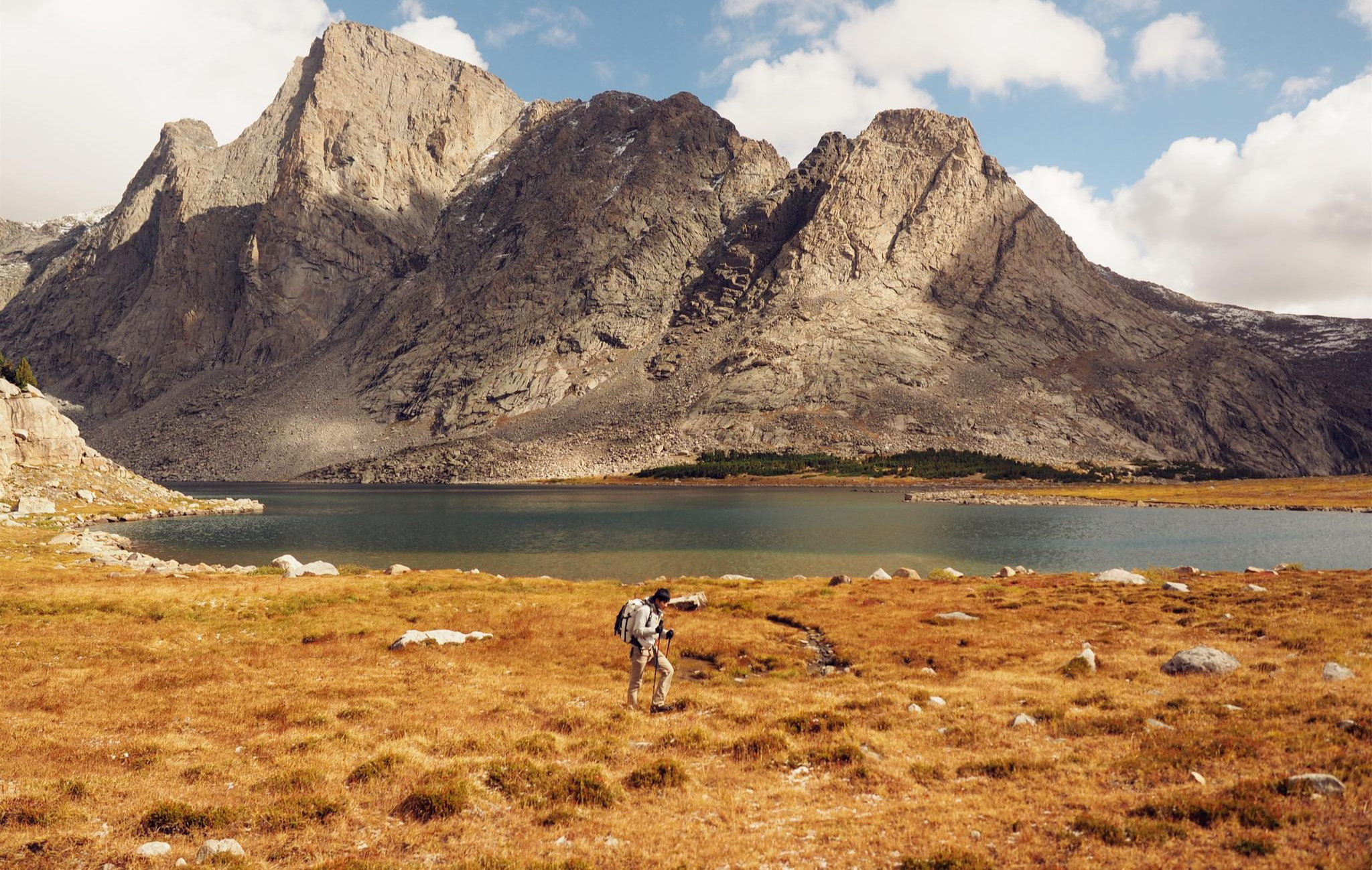
Like in the Wild West – hiking on the Oregon Trail
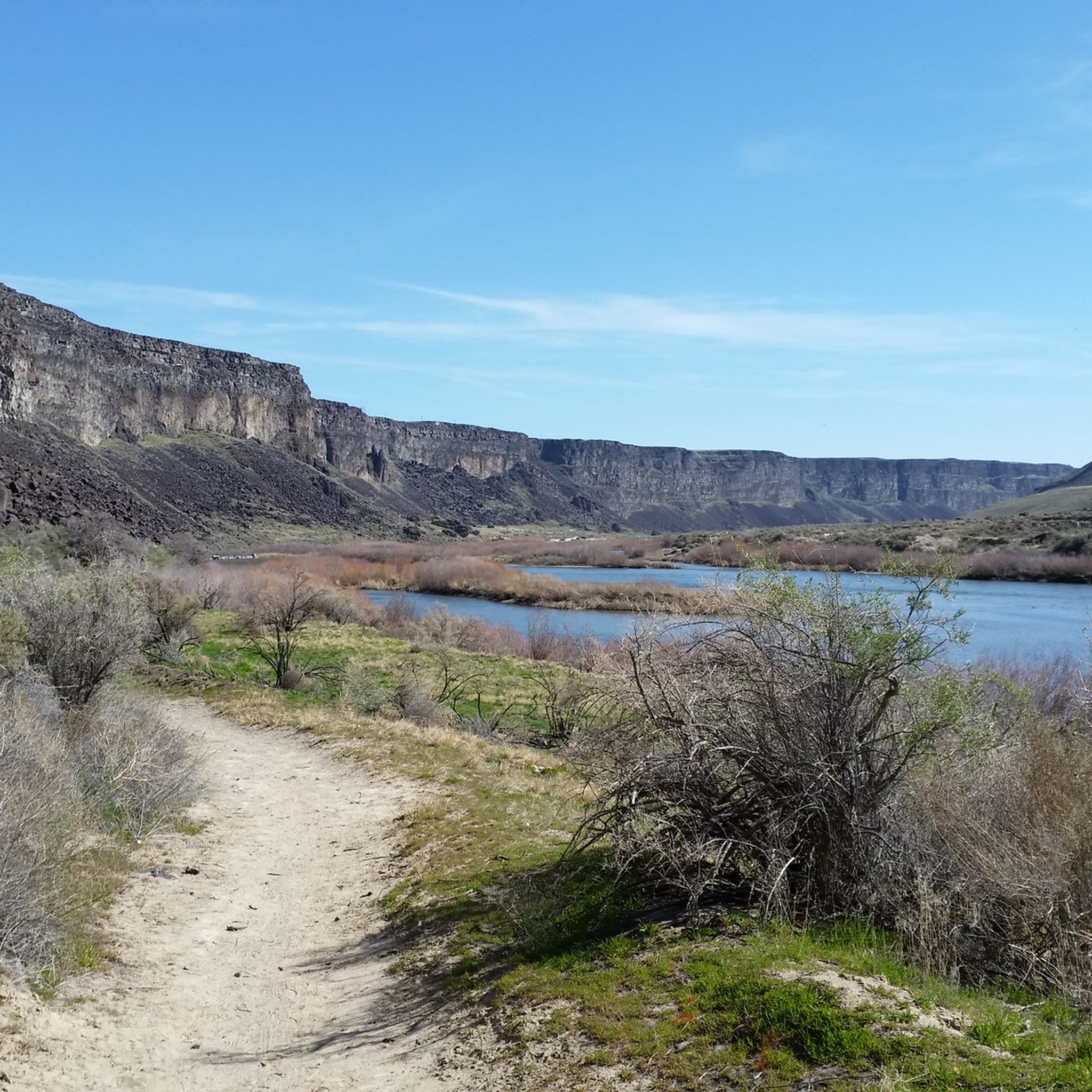
Hiking in Ada County
Other adventures in Ada County

Tips from the Community

Fay would love for you to take a rest on her bench in a section of the greenbelt with a lovely view of trees and the river. You might see some wildlife if you stick around to have a snack. If you're up to it, stop into the MK Nature center, the entrance is to your left. There you can see the fish pond and you might see Lonely Larry - an 8 ft long Sturgeon!
0
0

Nice cycle path along the river.
0
0

Camel's Back is an incredible area that provides opportunities for quick breaks from the day to all day hiking activities. It is probably known best by its iconic set of steep stairs installed a few years back.
0
0

North Cartwright Road is a quite, scenic road north of Boise with several mountain bike trails crossing over it. It's a fun road to descend.
1
0

Hyde Park is the historic district in the North End neighborhood of Boise. It's known for its local restaurants and specialty retail stores. It's also a popular starting place for mountain and road cyclists heading out for a ride.
1
0
Sandy Point Beach is just off the Boise River Greenbelt in Lucky Peak Dam State Park. Sandy Point offers restrooms, showers, picnic tables, a disc golf course, sand volleyball courts, and a swim beach.
0
0

The Boise River Greenbelt is 25 miles long and provides a road-bike worthy path on both sides. The path has a number of rest areas to stop and admire the views of the river.
0
0

This is just a small portion of the 25-mile-long Boise River Greenbelt. As the name suggests, the trail travels along the banks of the Boise River through many of the cities best parks and green spaces. It also provides access to a number of great coffee shops & restaurants.
0
0
Frequently Asked Questions
How many road cycling routes are available in Ada County?
Ada County offers a wide selection of road cycling routes, with over 50 options available on komoot. These routes cater to various skill levels, including 26 easy, 32 moderate, and 1 difficult route, ensuring there's something for every road cyclist.
What do other road cyclists enjoy most about the routes in Ada County?
The road cycling routes in Ada County are highly rated by the komoot community, with an average score of 4.6 stars from more than 20 reviews. Cyclists often praise the diverse landscapes, from the scenic Boise River Greenbelt to the challenging climbs of the Boise Foothills, and the well-maintained infrastructure.
Are there any easy or beginner-friendly road cycling routes in Ada County?
Yes, Ada County has numerous easy and beginner-friendly options, particularly along the Boise River Greenbelt. Routes like the Hill Road Views loop from Garden City or the Boise river view – Boise River Greenbelt loop from West Bench Neighborhood Association offer relatively flat terrain and scenic views, perfect for a relaxed ride.
Where can I find challenging road cycling routes in Ada County?
For a more challenging experience, head to the Boise Foothills or consider the climb up Bogus Basin Road. Routes like the Hyde Park Historic District – Hill Road Views loop from Boise feature significant elevation gains and panoramic views. Bogus Basin offers a sustained climb of over 3,500 feet, popular with experienced cyclists.
What are some scenic road cycling routes with great views in Ada County?
Many routes offer stunning views. The Boise River Greenbelt provides picturesque riverside scenery, while routes through the Boise Foothills, such as the Roadbike loop from Hyatt Hidden Lakes Reserve, offer panoramic vistas of the city and surrounding landscapes. The climb to Bogus Basin also rewards riders with wide-open views.
Are there family-friendly road cycling options in Ada County?
Absolutely. The Boise River Greenbelt is an excellent choice for families, offering a paved, mostly flat pathway away from vehicle traffic. Its extensive network connects numerous parks and natural areas, providing a safe and enjoyable environment for cyclists of all ages. The city of Boise also offers adaptive cycling programs along the Greenbelt.
Can I bring my dog on road cycling routes in Ada County?
Many multi-use pathways, such as sections of the Boise River Greenbelt, are dog-friendly, provided your dog is on a leash. Always check local regulations for specific parks and trails, as some natural areas may have restrictions to protect wildlife.
What attractions or landmarks can I see along the road cycling routes?
Ada County's routes often pass by or provide access to various attractions. Along the Boise River Greenbelt, you can find highlights like Quinn's Pond, the Idaho Anne Frank Human Rights Memorial, and the Boise River itself. Routes in the foothills can lead to viewpoints like Table Rock Viewpoint or Camel's Back, offering expansive city views.
Are there loop road cycling routes in Ada County?
Yes, many road cycling routes in Ada County are designed as loops, allowing you to start and end at the same point. Examples include the popular Boise River Greenbelt – Boise River Greenbelt loop from Hillside to Hollow Reserve and the North Cartwright Road – Nice foothills climb loop from Hulls Gulch Reserve, providing diverse experiences from riverside to foothills.
What is the best time of year for road cycling in Ada County?
Spring and fall generally offer the most pleasant conditions for road cycling in Ada County, with mild temperatures and beautiful scenery. Summer can be hot, especially in the middle of the day, so early morning or late afternoon rides are recommended. While winter cycling is possible, higher elevation routes like Bogus Basin Road may be affected by snow and ice.
Are there road cycling routes with less traffic in Ada County?
The Boise River Greenbelt is an excellent option for routes with minimal vehicle traffic, as it's a dedicated multi-use pathway. Quieter sections of the Greenbelt can be found in Garden City. For road routes, exploring the extensive network of bike lanes and multi-use pathways planned by the Ada County Highway District can help you find less congested options.
Where can I find amenities like cafes or pubs along the routes?
The Boise River Greenbelt connects to several urban parks like Julia Davis Park and Ann Morrison Park, which offer amenities. The Hyde Park Historic District, a popular starting point for rides into the foothills, also features cafes and pubs. Downtown Boise and areas in Garden City also provide numerous options for refreshments and dining close to cycling routes.
Is there public transport or parking available near road cycling routes?
Many parks and access points along the Boise River Greenbelt offer parking facilities. Public transport options, particularly within Boise, can also provide access to various starting points for routes. The Ada County Highway District provides online and printed bike maps that can help identify recommended routes and access points with parking.
Most popular routes in Ada County
Most popular attractions in Ada County

Get inspired with the komoot mobile app


Didn’t find what you were looking for?
Check out more Road cycling routes throughout Ada County below and find the perfect route in your destination.
Explore more
Browse the best Road cycling routes in other regions.
