The best road cycling routes in Bullitt County
5.0
(9)
431
riders
12
rides
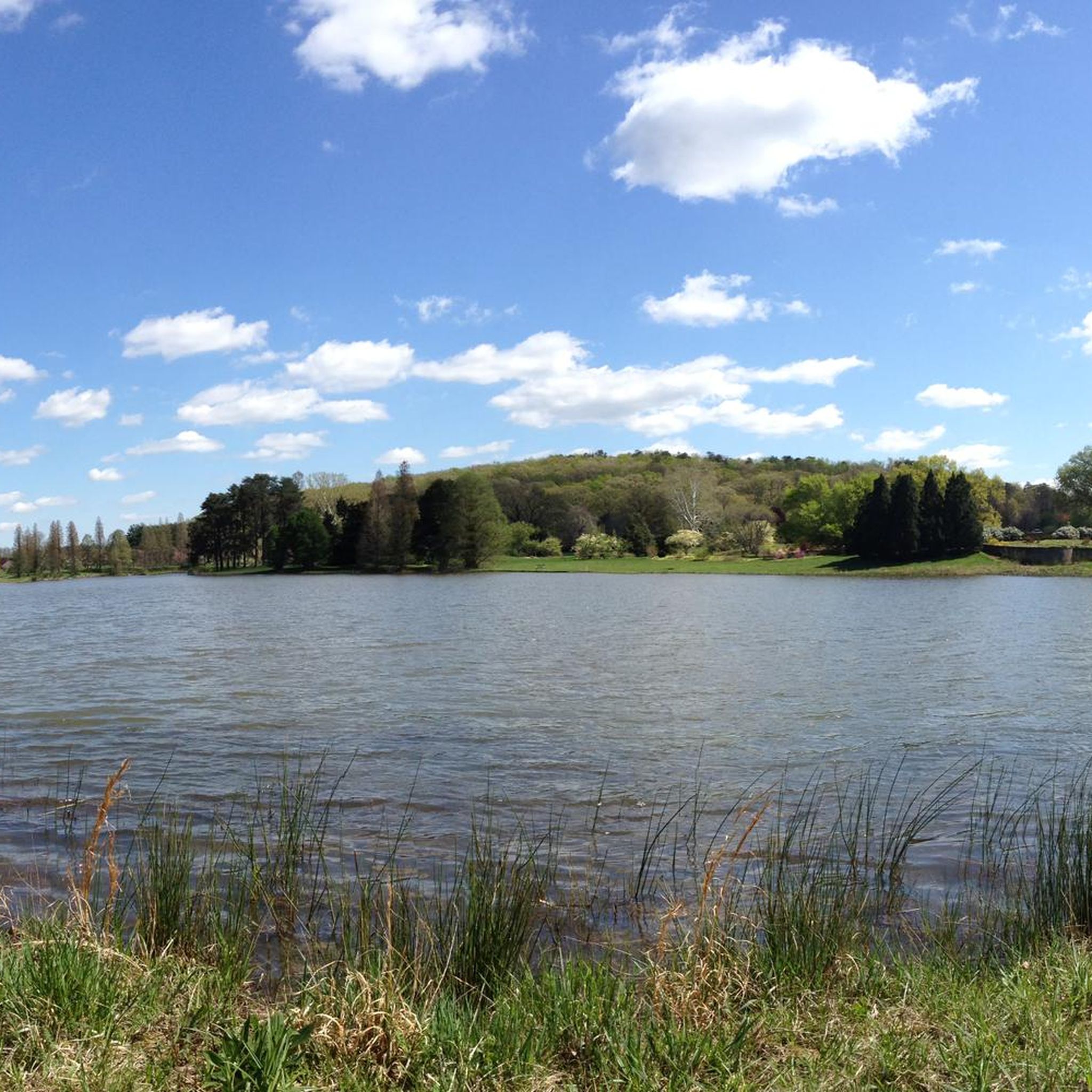
Road cycling routes in Bullitt County traverse a diverse landscape characterized by rolling hills, dense woodlands, and serene waterways. The region features the rugged Knobs, offering varied terrain with significant elevation changes, alongside flatter sections near the Salt River. This topography provides a range of road cycling experiences, from challenging climbs to scenic, winding backroads through rural countryside. Bernheim Arboretum and Research Forest also contributes to the area's natural beauty, offering a picturesque backdrop for rides.
Best road cycling routes…
Last updated: August 18, 2026
5.0
(3)
99
riders
41.2km
02:18
280m
280m
Moderate road ride. Good fitness required. Mostly well-paved surfaces and easy to ride.
5.0
(2)
64
riders
26.5km
01:29
160m
160m
Moderate road ride. Great for any fitness level. Some segments of this route may be unpaved and difficult to ride.

Sign up for free
27
riders
28.0km
01:32
260m
260m
Easy road ride. Great for any fitness level. Mostly well-paved surfaces and easy to ride.
25
riders
24.0km
01:18
250m
250m
Easy road ride. Great for any fitness level. Mostly well-paved surfaces and easy to ride.
5.0
(1)
20
riders
77.4km
03:44
140m
140m
Moderate road ride. Good fitness required. Mostly well-paved surfaces and easy to ride.
12
riders
87.0km
04:46
860m
860m
Moderate road ride. Good fitness required. Mostly well-paved surfaces and easy to ride.
18
riders
53.4km
02:27
90m
90m
Moderate road ride. Good fitness required. Mostly well-paved surfaces and easy to ride.
18
riders
19.9km
01:04
230m
230m
Easy road ride. Great for any fitness level. Mostly well-paved surfaces and easy to ride.
8
riders
39.5km
01:59
290m
290m
The Fairmount Falls Park loop from Evangel offers a relaxed road cycling experience through the Louisville area, covering 24.6 miles (39.5 km) with an easy 946 feet (288 metres) of…
4
riders
44.8km
02:01
250m
240m
Moderate road ride. Good fitness required. Mostly well-paved surfaces and easy to ride.
Get access to more routes and recommendations from other explorers.
Sign up for free
Already have an account?
Our route recommendations are based on thousands of hikes, rides, and runs completed by other people on komoot.
Start today with a free account
Your next adventure awaits.
Login or Signup





Tips from the Community

Originally constructed in 1895 as a railroad bridge the Big Four Bridge was converted as pedestrian and bike connector between Louisville, Kentucky, and Jeffersonville, Indiana. This has proven to be an extremely popular conversion as the bridge sees over 1.5 million crossings per year.
0
0
This is a nice, riverside park with ample parking and restrooms, which makes it a great place to start and finish your ride. The, as yet, incomplete Louisville Loop Trail runs through the park, giving riders access to other parts of the city.
0
0
Patrick Star and Mr. Krabs brighten up the side of an otherwise unremarkable building.
0
0

Watch for mud on the trails. Can get really wet with the smallest of rain. The paved paths are great year round!!
0
0

This railroad bridge from 1895 is now a scenic walkway and bikeway that spans the Ohio River. Nearly a half mile long and easily accessible from both waterfronts, it carries you cross the Indiana-Kentucky border with splendid views all around.
0
0

The Big Four Bridge, originally completed in 1895 as a railroad bridge, now connects Louisville, Kentucky, and Jeffersonville, Indiana, for pedestrians and cyclists. After closing for rail use in the sixties, the bridge reopened in 2013 with ramps for walkers and bikers. Spanning 2,525 feet, the bridge offers a two-mile roundtrip, including the ramps. It attracts an average of 1.5 million visitors annually, making it a key recreational link between the two cities. There are bike rental places close by to the bridge too.
1
0

Broad Run Park offers scenic trails, beautiful meadows, and serene water features. Ideal for hiking, biking, and picnicking, this park is part of the Parklands of Floyds Fork, providing a peaceful retreat with abundant wildlife and natural beauty.
0
0

The Louisville Loop Trail is an ongoing project for the city. Once complete, the paved trail will be 100 miles and circle around the entire city. This already completed section follows along Floyds Fork and actually crosses the water on a couple of occasions. This is a great paved trail that gets away from the noise of cars.
1
0
Frequently Asked Questions
How many road cycling routes are available in Bullitt County?
Bullitt County offers a diverse selection of over 15 road cycling routes, catering to various skill levels. These routes traverse the county's unique landscape, from rolling hills to serene waterways.
What kind of terrain can I expect on road cycling routes in Bullitt County?
You can expect a varied terrain in Bullitt County. The region features the rugged Knobs, offering significant elevation changes and challenging climbs, particularly in the western part of the county. Conversely, areas near the Salt River provide flatter sections, and the eastern part of the county has rolling hills of the Outer Bluegrass Region. This mix ensures options for both strenuous and more leisurely rides.
Are there any easy road cycling routes suitable for beginners or families?
Yes, Bullitt County has several easy road cycling routes. An excellent option is the Bridge Over Floyds Fork – Louisville Loop Trail loop from Seatonville, which is 13.1 miles (21.2 km) long with minimal elevation gain, making it suitable for a relaxed ride. Another easy route is the Broad Run Park Entrance Gate – Louisville Loop Trail loop from Thixton, covering 16.9 miles (27.2 km).
Where can I find routes with significant climbs for a challenge?
For cyclists seeking a challenge, the routes in the Knobs region and those with higher elevation gains are ideal. The Cundiff Hill – Martins Hill loop from Bethany is a moderate 54.2-mile (87.2 km) route featuring substantial elevation gain through the county's rolling hills. Other routes like Cundiff Hill – Pendleton Hill loop from Heritage Creek also offer notable climbs.
Are the road cycling routes in Bullitt County generally paved?
Yes, the road cycling routes in Bullitt County primarily feature paved surfaces. The region is known for its network of scenic, rolling roads and curvy backroads, which are well-suited for road bikes. While the focus is on paved roads, always check individual route details for any specific surface information.
What are some scenic highlights or natural features to look out for while cycling?
Bullitt County offers beautiful natural scenery. You'll encounter dense woodlands, serene waterways like the Salt River, and the distinctive rolling hills of the Knobs region. The Bernheim Arboretum and Research Forest, though primarily known for hiking, contributes to the area's lush natural setting and offers picturesque views on roads within and around it. Many routes wind through rural countryside, offering peaceful vistas.
Are there any circular road cycling routes in the area?
Yes, many of the road cycling routes in Bullitt County are designed as loops, allowing you to start and end at the same point. Examples include the Big Four Bridge – Big Four Bridge loop from Bethany and the Holsclaw Hill – Jefferson Hill loop from Heritage Creek, providing convenient options for exploring the region.
What is the best time of year to go road cycling in Bullitt County?
The spring and fall months generally offer the most pleasant conditions for road cycling in Bullitt County, with milder temperatures and beautiful foliage. Summer can be warm and humid, while winter rides are possible but may require checking for colder temperatures or potential icy patches, especially in shaded areas of the rolling hills.
Is parking available near the road cycling routes?
Parking availability varies by route starting point. Many routes begin in or near towns, parks, or trailheads where public parking is typically accessible. For specific routes, it's advisable to check the komoot tour details for information on recommended starting points and parking facilities.
Are there any attractions or points of interest near the cycling routes?
Beyond the natural beauty, Bullitt County offers cultural attractions that can complement your ride. The Wine, Whiskey & Ale Trail winds through the county, connecting local distilleries and wineries, which could be interesting stops. Shepherdsville City Park also provides a pleasant setting near the Salt River for a post-ride stroll.
What do other cyclists say about road cycling in Bullitt County?
The road cycling experience in Bullitt County is highly rated by the komoot community, with an average score of 5.0 stars from over 7 reviews. Cyclists often praise the diverse terrain, from challenging climbs to scenic rural backroads, and the overall beauty of the rolling hills and woodlands.
Can I find places to eat or drink near the cycling routes?
Yes, many routes either pass through or are in proximity to towns like Shepherdsville, where you can find various cafes, restaurants, and local establishments to refuel. The Wine, Whiskey & Ale Trail also offers opportunities for stops at local distilleries and wineries, some of which may have dining options or tasting rooms.
Are there options for longer, moderate-difficulty rides?
Absolutely. Bullitt County is well-suited for longer, moderate-difficulty rides. Routes like the Big Four Bridge – Big Four Bridge loop from Bethany, at 48.1 miles (77.4 km), offer scenic views and a good distance without extreme elevation. The Big Four Bridge – Louisville Waterfront Park loop from New Cut @ K Mart Driveway SB is another moderate option covering 30.1 miles (48.4 km).

Get inspired with the komoot mobile app


Didn’t find what you were looking for?
Check out more Road cycling routes throughout Bullitt County below and find the perfect route in your destination.
Explore more
Browse the best Road cycling routes in other regions.
