The best road cycling routes in Coconino County
4.6
(34)
939
riders
40
rides
Road cycling in Coconino County offers diverse terrain, from high-elevation pine forests to striking red rock formations. The region is characterized by significant elevation changes, including the San Francisco Peaks, and features extensive Ponderosa Pine forests. Riders can experience both challenging mountain climbs and scenic routes through high desert landscapes.
Best road cycling routes in Coconino County
- The most popular road cycling route is Canyon Vista Campground to Mormon Lake loop via Lake Mary Road, a 46.4 miles (74.6…
Last updated: October 11, 2026
5.0
(4)
133
riders
74.6km
03:15
380m
380m
Moderate road ride. Good fitness required. Mostly well-paved surfaces and easy to ride.
5.0
(3)
99
riders
31.3km
01:51
380m
380m
Moderate road ride. Good fitness required. Mostly well-paved surfaces and easy to ride.

59
riders
49.6km
02:47
860m
860m
Moderate road ride. Good fitness required. Mostly well-paved surfaces and easy to ride.
19
riders
75.8km
03:30
720m
720m
Moderate road ride. Good fitness required. Mostly well-paved surfaces and easy to ride.
15
riders
113km
05:19
1,370m
1,370m
Hard road ride. Very good fitness required. Mostly well-paved surfaces and easy to ride.
15
riders
22.7km
01:02
190m
190m
Moderate road ride. Great for any fitness level. Some segments of this route may be unpaved and difficult to ride.
5.0
(1)
11
riders
Moderate road ride. Good fitness required. Mostly well-paved surfaces and easy to ride.
4.0
(3)
9
riders
25.5km
01:29
290m
290m
Easy road ride. Great for any fitness level. Mostly well-paved surfaces and easy to ride.
9
riders
91.6km
04:23
1,120m
1,120m
Hard road ride. Very good fitness required. Mostly well-paved surfaces and easy to ride.
3
riders
78.8km
03:33
610m
610m
Moderate road ride. Good fitness required. Mostly well-paved surfaces and easy to ride.
Get access to more routes and recommendations from other explorers.
Already have an account?
Our route recommendations are based on thousands of hikes, rides, and runs completed by other people on komoot.
Start today with a free account
Your next adventure awaits.
Popular around Coconino County
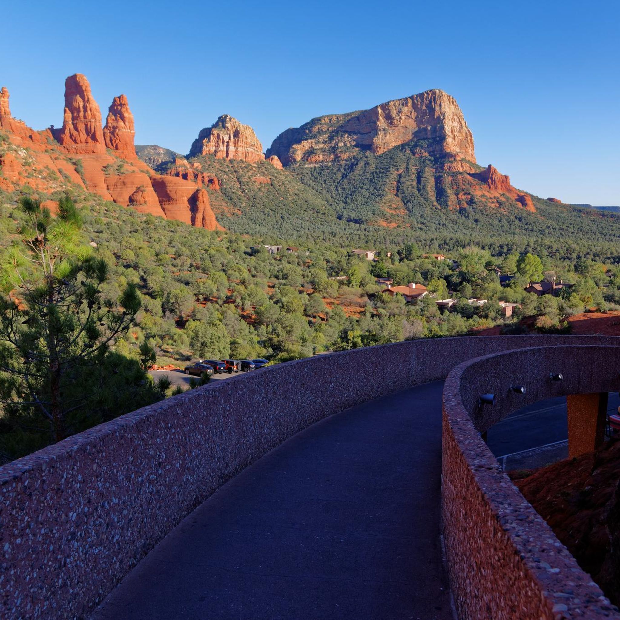
Road Cycling Routes in Coconino National Forest
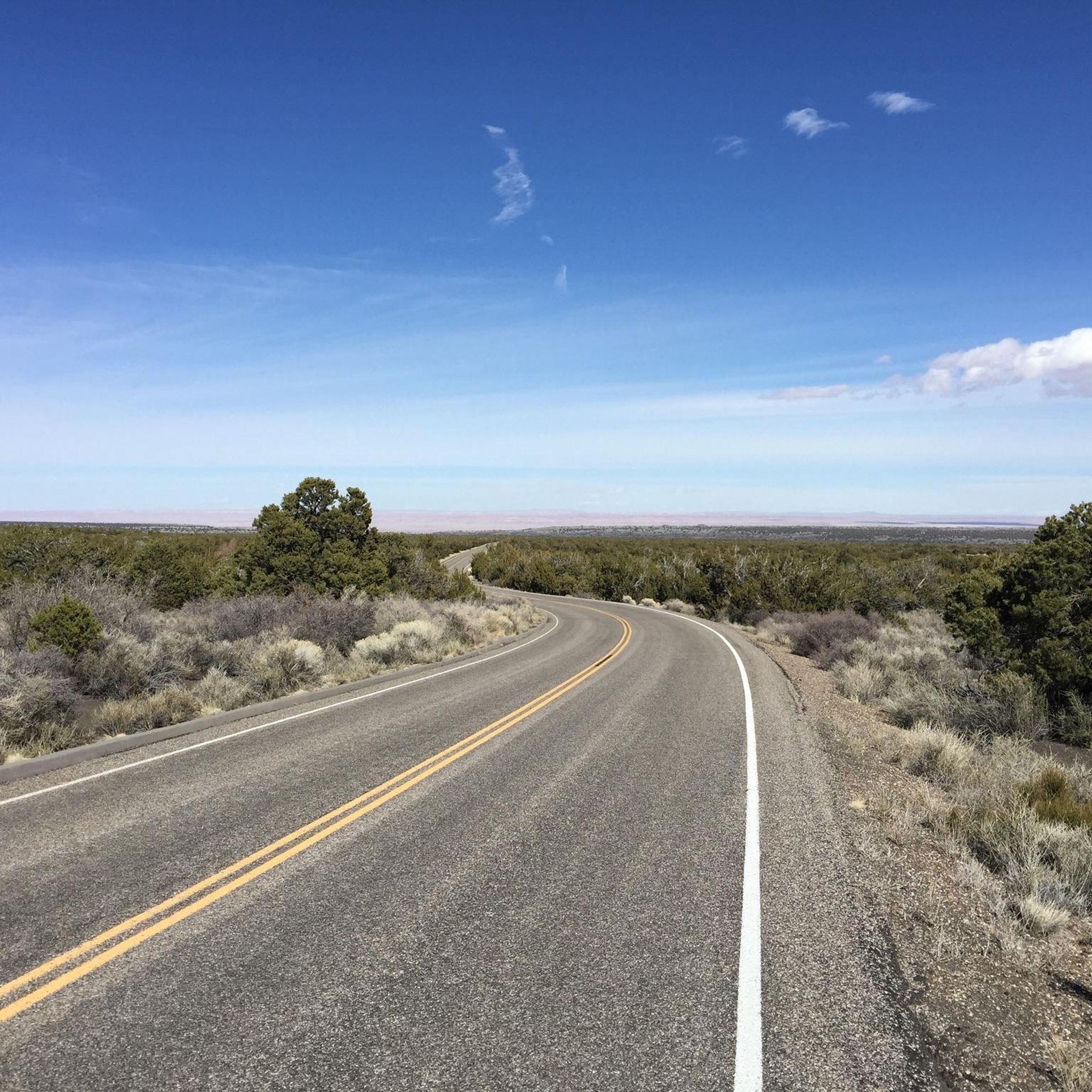
Road Cycling Routes in the San Franciso Peaks
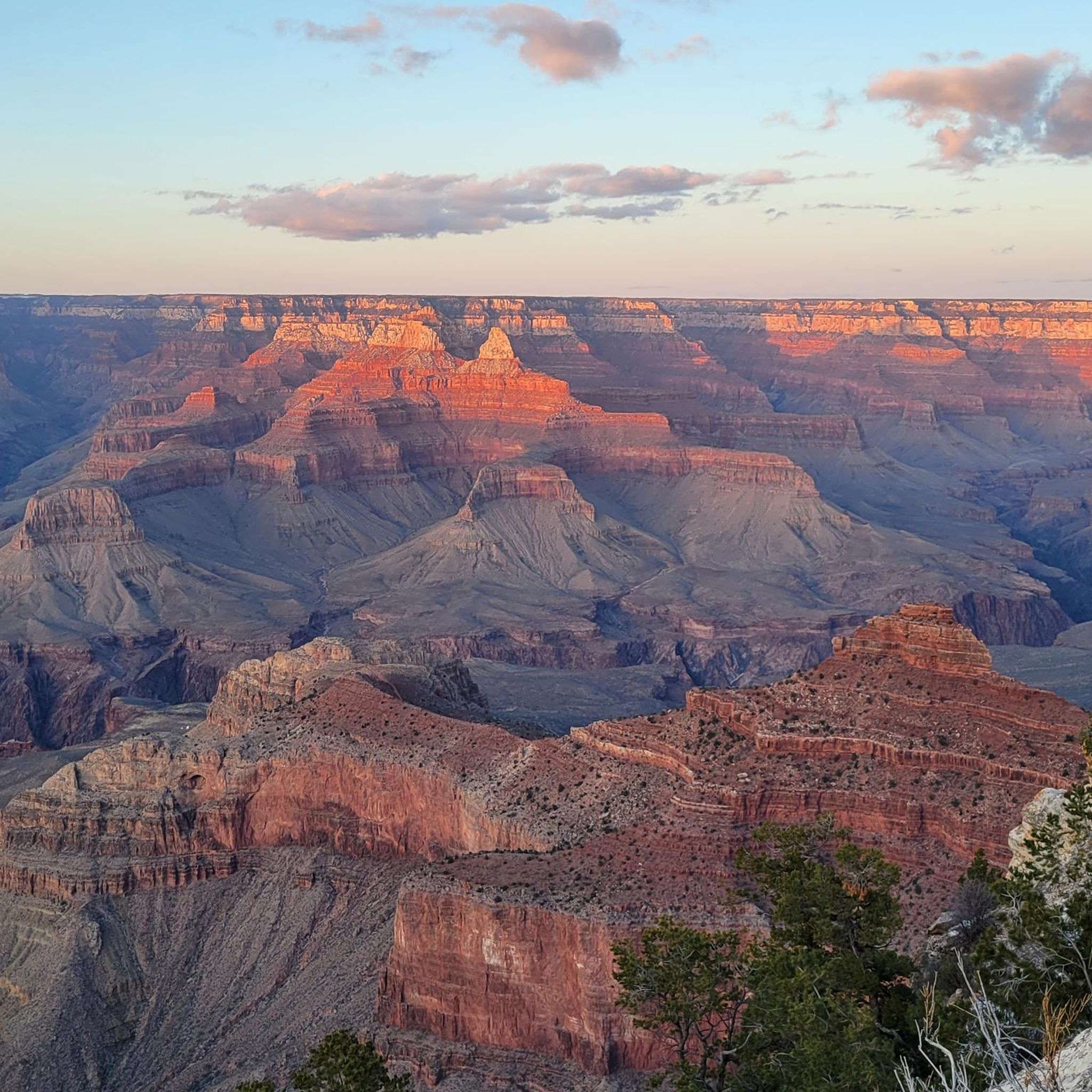
Road Cycling Routes in Grand Canyon National Park
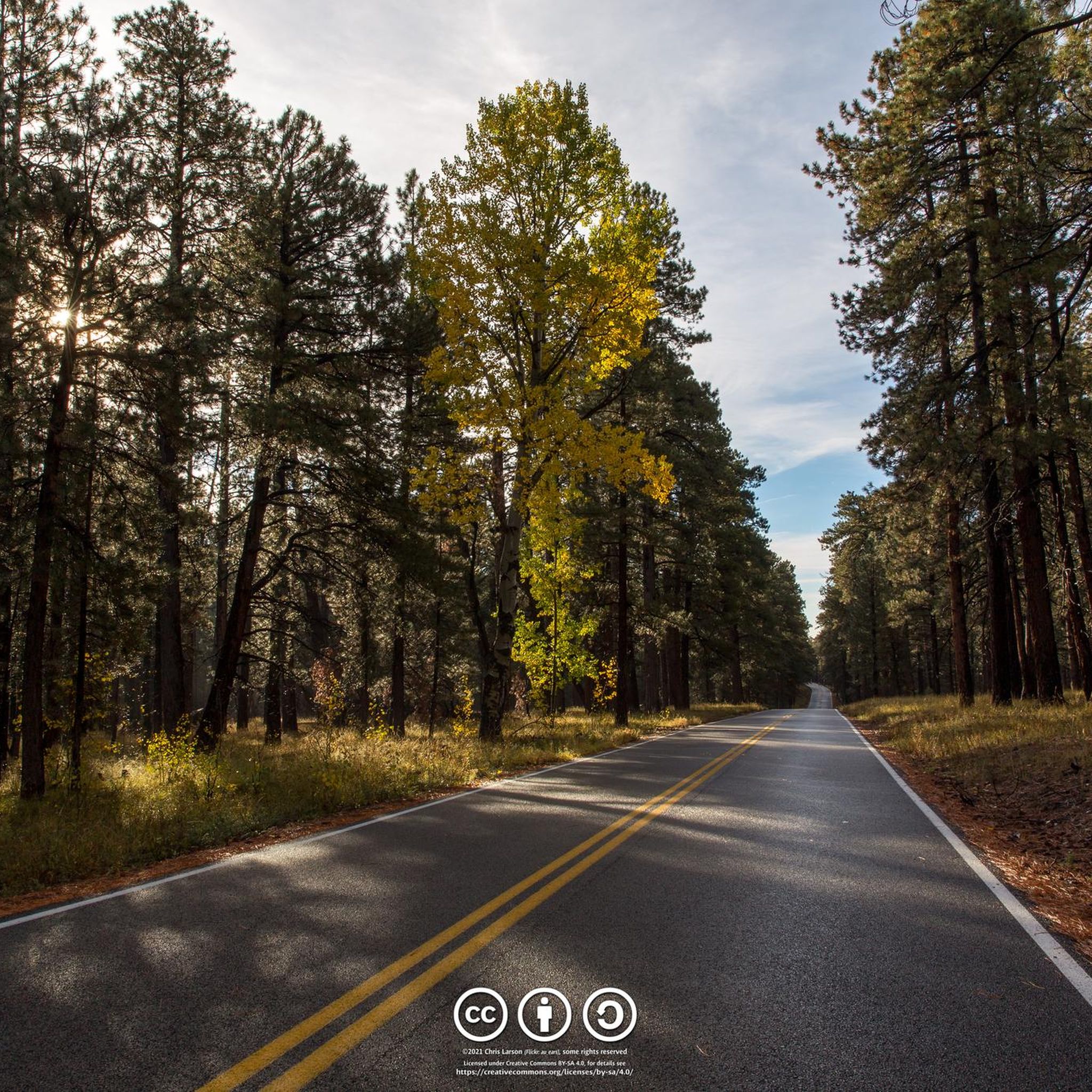
Road Cycling Routes in the Kaibab Plateau
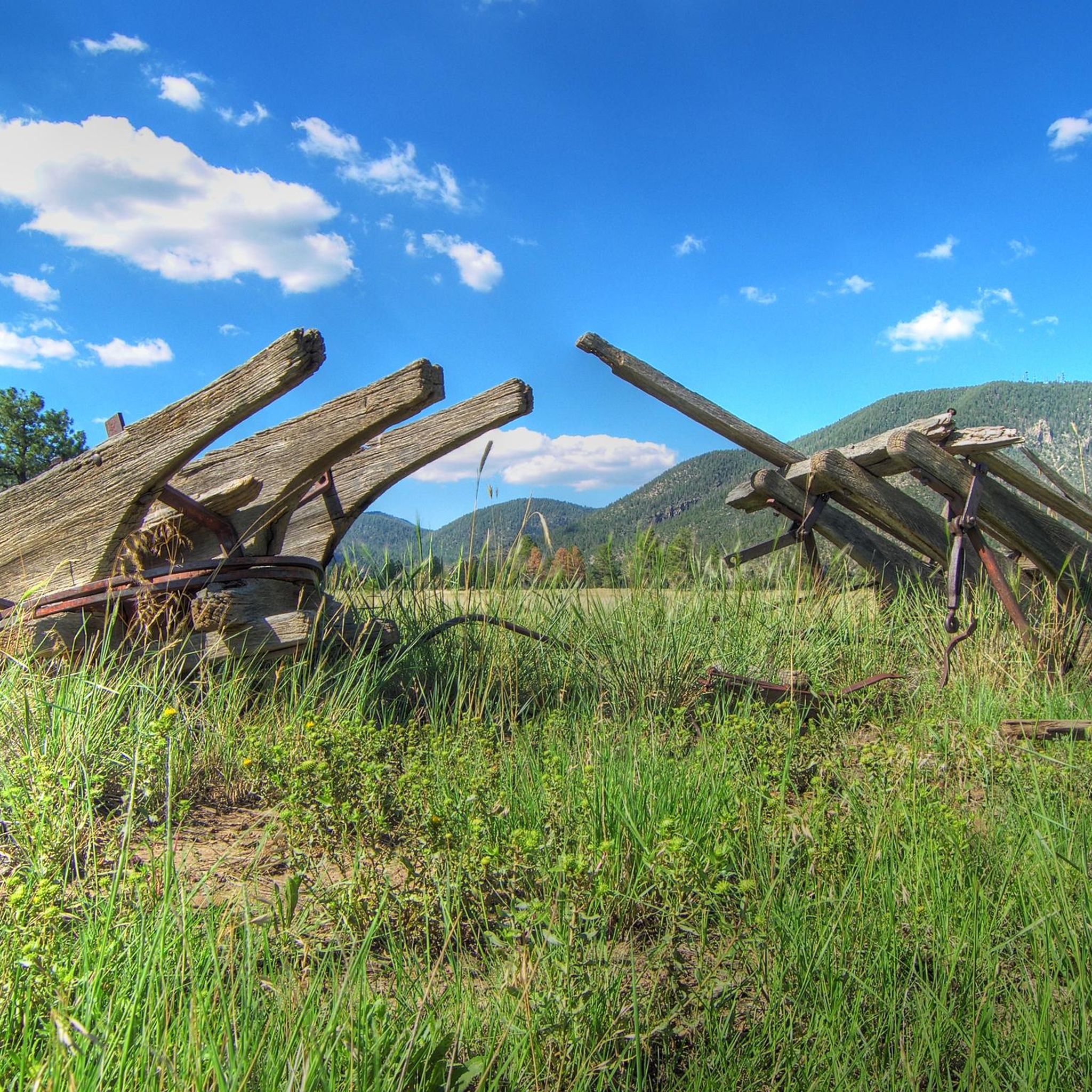
Road Cycling Routes around Flagstaff
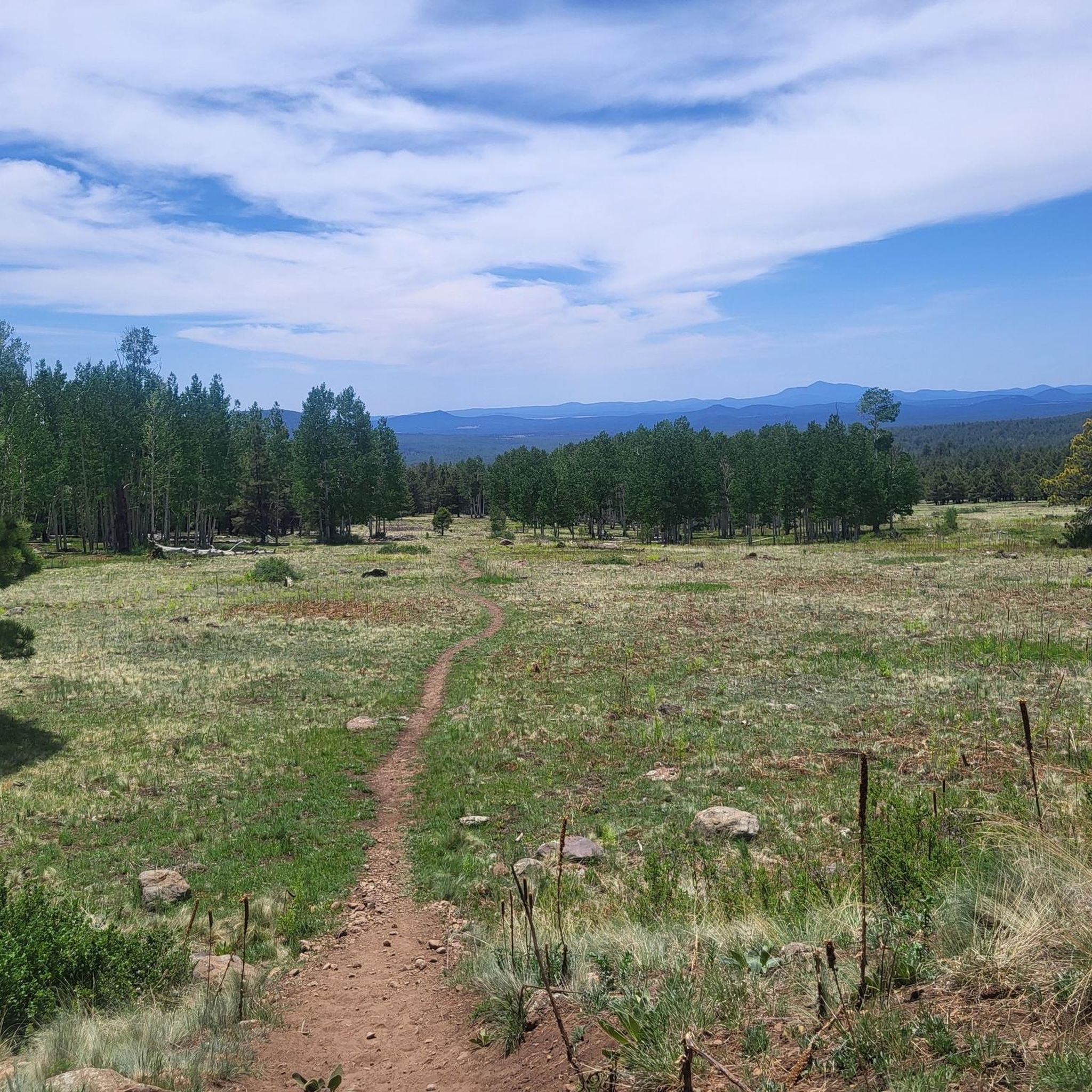
Road Cycling Routes around Fort Valley
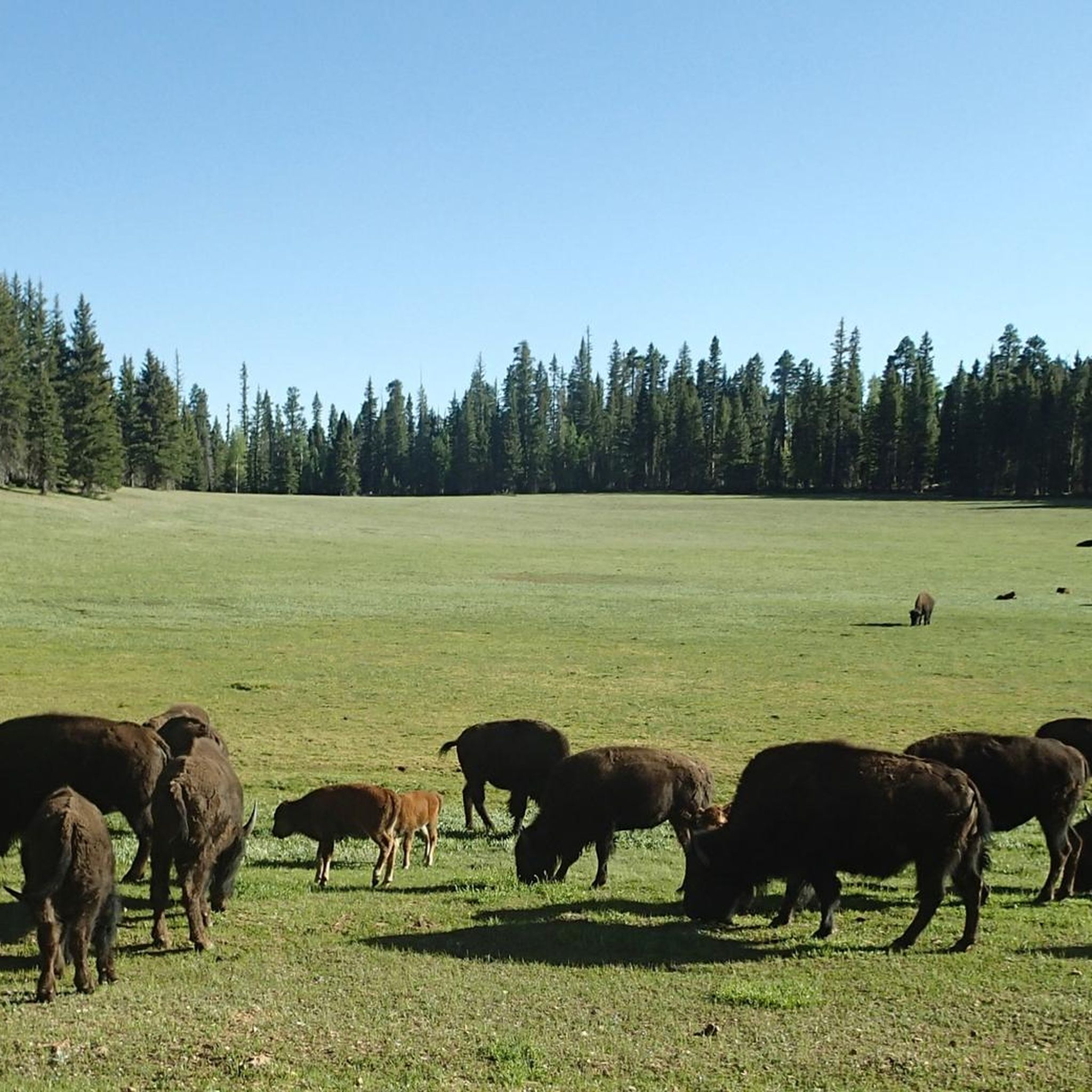
Road Cycling Routes in Kaibab National Forest
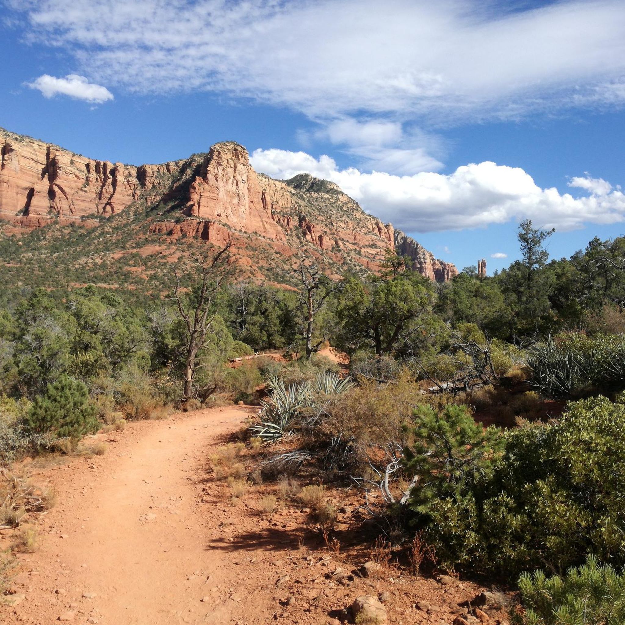
Road Cycling Routes in Munds Mountain Wilderness
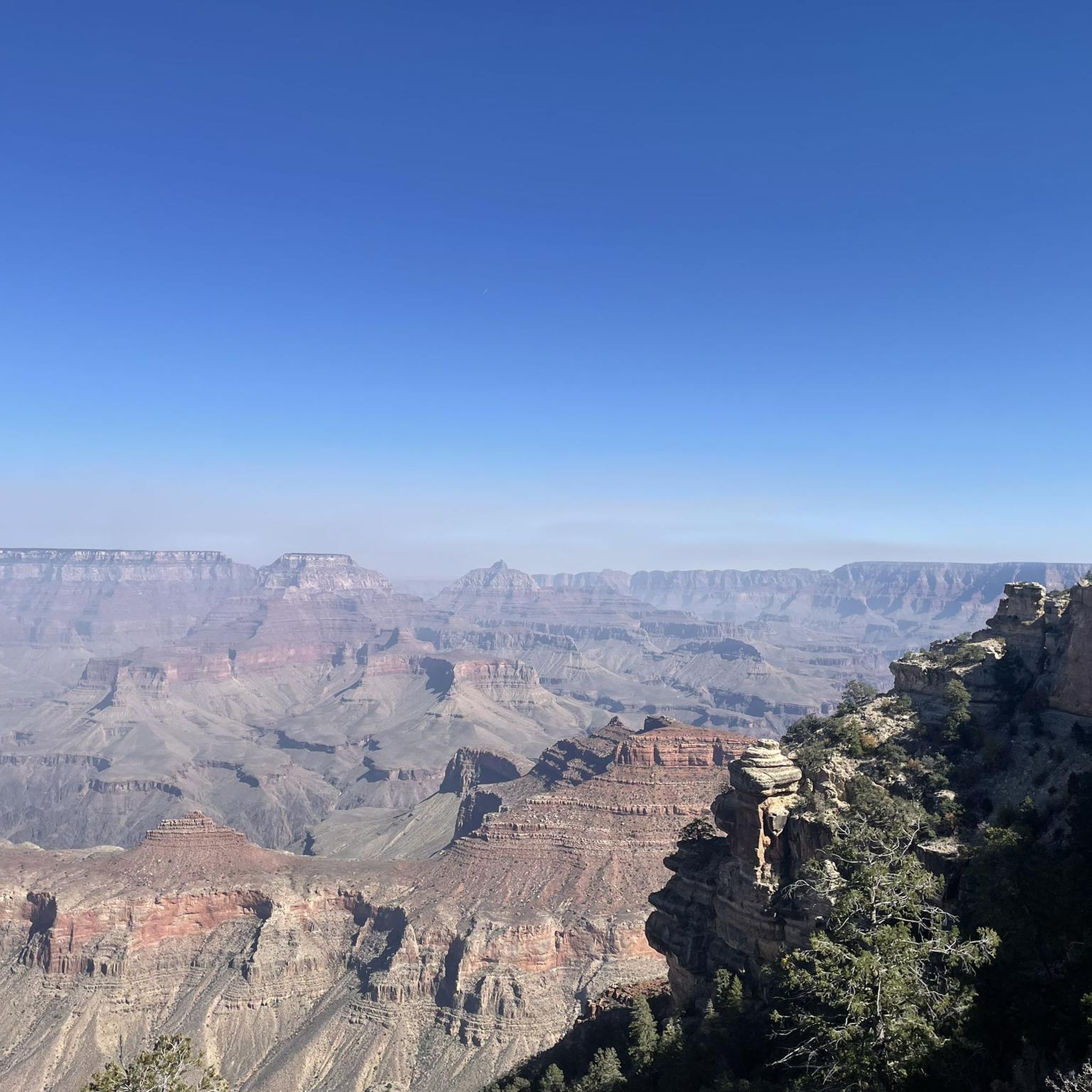
Road Cycling Routes around Grand Canyon Village
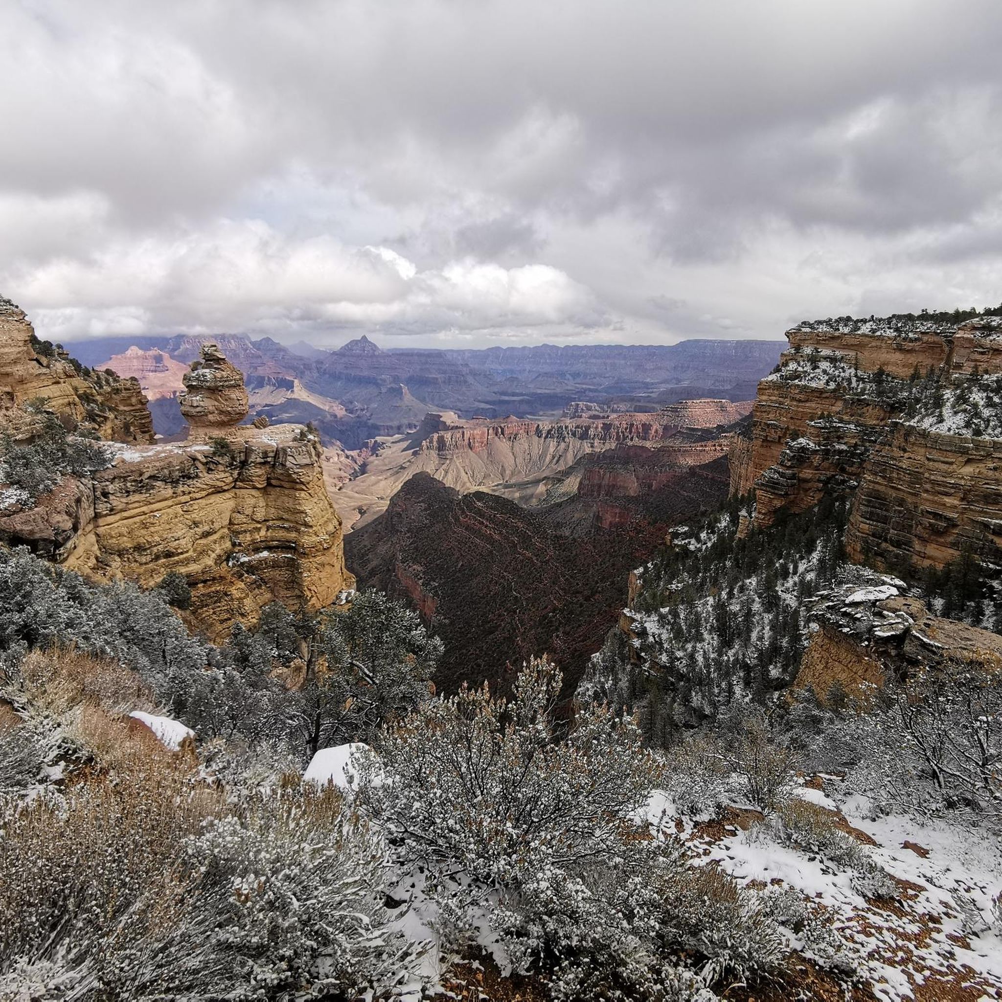
Road Cycling Routes around Tusayan
Other adventures in Coconino County


Tips from the Community

I can recommend starting here in the morning and then gradually making your way back along the rim on foot or by shuttle bus. Super impressive
1
0

Very special its construction.
2
0

The Grand Canyon Greenway Trail connects the village of Tusayan with Grand Canyon Village. This easy trail features a steady incline along a paved path, surrounded by trees. It's a great option for a quiet ride compared to the busier routes around the canyon.
0
0
Mohave Point offers incredible views over the Grand Canyon, especially at sunset. You’ll also get a perfect view of the Tonto Trail winding deep into the canyon. The trail to the very tip of the point isn’t paved, so you can stop your bike and take a short hike to check it out.
0
0

At Pima Point, you can both see and hear the rumbling Colorado River with the Hermit Rapids in sight.
1
0
As one of the highest points along the South Rim, Desert View Point offers amazing views into the Grand Canyon. Most viewpoints keep the mighty Colorado River hidden, but from this view point, you can see the river in its full glory winding through Marble Canyon. If you are lucky and look closely, you might be able to spot hikers on the Tanner Trail way below you. Desert View is also famous for the watchtower, a stone tower built in 1932 and designed by Mary Colter. If you climb up the circular staircase to its top, you are at the highest point of the South Rim at 7,522 feet. The Desert View Visitors Center and a bookshop are close by.
1
0
Tusayan is an Arizona Trail Gateway Community. It is a small town close to the South Rim of the Grand Canyon. You will find some motels, restaurants and a grocery store. Due to the proximity to the touristy South Rim, everything is very pricy, even McDonalds. The grocery store at the Grand Canyon Village is cheaper with a larger variety. Free WiFi is available in the lobby of the Holiday Inn. The Mexican restaurant has a nice and affordable breakfast buffet. The Tusayan Post Office in the General Store will NOT accept General Delivery packages, so send them to the Post Office at Grand Canyon Village.
0
0

Frequently Asked Questions
How many road cycling routes are available in Coconino County?
Coconino County offers a wide selection of road cycling routes, with nearly 40 tours available on komoot. These routes cater to various skill levels, from easy scenic rides to challenging climbs.
What kind of terrain can I expect when road cycling in Coconino County?
Road cycling in Coconino County features incredibly diverse terrain. You can expect routes through high-elevation Ponderosa Pine forests, dramatic climbs in the San Francisco Peaks, and stunning rides past the iconic red rock formations of Sedona. The region offers a mix of challenging mountain ascents and scenic high desert landscapes.
What are the difficulty levels of road cycling routes in Coconino County?
The routes in Coconino County cater to all abilities. There are 8 easy routes perfect for a relaxed ride, 24 moderate routes offering a good challenge, and 6 difficult routes for experienced cyclists seeking significant climbs and longer distances.
What do other cyclists say about road cycling in Coconino County?
The road cycling routes in Coconino County are highly rated by the komoot community, with an average score of 4.8 stars from over 20 reviews. Cyclists often praise the incredible views, well-maintained roads, and the diverse natural beauty, from the pine forests to the red rock landscapes.
Are there routes with significant climbs and scenic viewpoints?
Yes, Coconino County is known for its challenging climbs and spectacular views. For a demanding ascent, consider the route from Flagstaff to Snow Bowl via North Snow Bowl Road, which features a significant climb towards the San Francisco Peaks. The Flagstaff to Sedona via 89A route also offers substantial elevation changes and breathtaking vistas as you descend into Sedona.
Can I find routes that showcase the iconic red rock formations?
Absolutely. The southern part of Coconino County is home to the stunning red rock formations of Sedona. The Flagstaff to Sedona via 89A route will lead you directly through this iconic landscape, offering unforgettable views.
Are there any routes that pass by lakes or other natural features?
Yes, several routes offer scenic rides alongside natural features. The Canyon Vista Campground to Mormon Lake loop via Lake Mary Road is a popular choice, providing incredible views of Lake Mary and traversing beautiful Ponderosa Pine forests.
What natural monuments can I see along road cycling routes in Coconino County?
While road cycling, you can find routes that offer access to various natural monuments. For instance, some routes in the Grand Canyon area might bring you close to highlights like the Bright Angel Trailhead or Ooh Aah Point, offering stunning views of the canyon itself. For more information on natural monuments, you can explore the Natural Monuments in Coconino County guide.
Are there any waterfalls accessible near road cycling routes?
While direct access to waterfalls on road cycling routes is less common, some routes in Coconino County might bring you into areas where waterfalls are a short detour. Notable waterfalls in the region include Ribbon Falls View and Beaver Falls. For detailed information, consult the Waterfalls in Coconino County guide.
Are there any long-distance road cycling routes for experienced riders?
Yes, Coconino County offers several long-distance routes for those seeking an endurance challenge. The Flagstaff to Sedona via 89A route is over 70 miles long, and the Sunset Crater to Nalakihu Pueblo route is another challenging option, spanning over 56 miles with significant elevation gain.
Are there any loop routes available for road cyclists?
Yes, Coconino County features several excellent loop routes. A popular option is the Canyon Vista Campground to Mormon Lake loop via Lake Mary Road, offering a scenic circular ride. Another loop option is the Page to Wahweap Bay loop, which provides a different landscape experience.
What is the best time of year for road biking in Coconino County?
The best time for road biking in Coconino County largely depends on the specific area and elevation. Flagstaff, being at a higher elevation, offers pleasant summer riding with cooler temperatures. Sedona, at a lower elevation, is ideal for spring and fall cycling when temperatures are milder. Winter can be challenging in higher elevations due to snow, but lower areas might still be rideable on clear days.
Are there any family-friendly road cycling options in Coconino County?
For family-friendly cycling, the Flagstaff Urban Trail System (FUTS) offers over 50 miles of shared pathways suitable for various activities, including road biking. While specific road cycling routes might be more challenging, the FUTS provides a safer and more accessible environment for families to enjoy cycling together.
Most popular routes in Coconino County
Most popular attractions in Coconino County

Get inspired with the komoot mobile app


Didn’t find what you were looking for?
Check out more Road cycling routes throughout Coconino County below and find the perfect route in your destination.
Explore more
Browse the best Road cycling routes in other regions.
