The best walks and hikes around Djulösjön
4.4
(17)
108
hikers
25
hikes
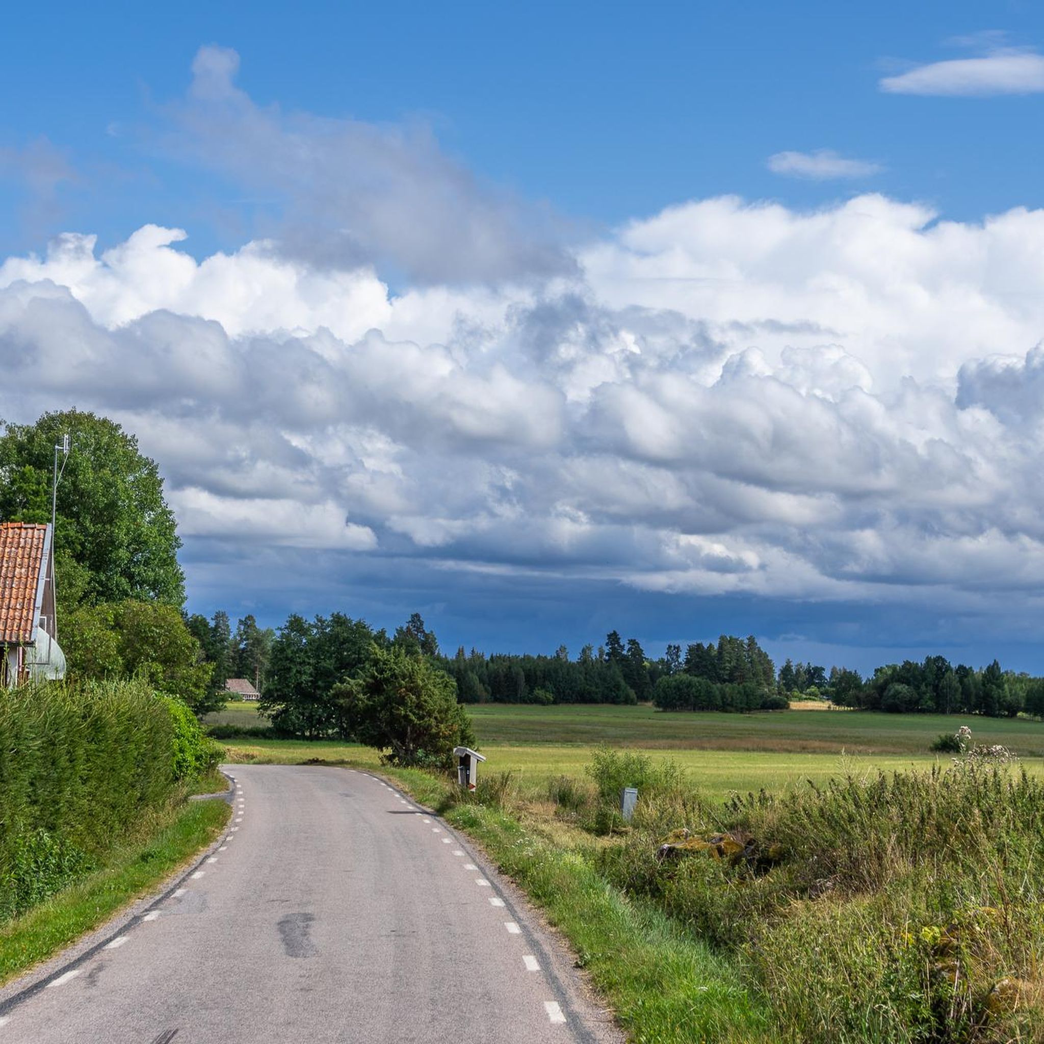
Hiking around Djulösjön offers diverse outdoor experiences centered on the lake in Katrineholm municipality, Sweden. The terrain features a blend of serene forests, open areas, and picturesque lake views typical of the Swedish countryside. The region provides accessible paths suitable for various activity levels, with minimal elevation changes across many routes.
Best hiking trails around Djulösjön
- The most popular hiking route is Carl Ugglas Park Pond – Herrgårdsvägen Bridge loop from Djulö kvarn, a 2.8 miles (4.4 km) trail…
Last updated: August 12, 2026
4.6
(5)
16
hikers
Easy hike. Great for any fitness level. Easily-accessible paths. Suitable for all skill levels.
9
hikers
2.39km
00:37
10m
10m
Easy hike. Great for any fitness level. Easily-accessible paths. Suitable for all skill levels.

Sign up for free
3.3
(3)
5
hikers
Easy hike. Great for any fitness level. Easily-accessible paths. Suitable for all skill levels.
4.0
(1)
10
hikers
Moderate hike. Good fitness required. Easily-accessible paths. Suitable for all skill levels.
7
hikers
4.75km
01:14
20m
20m
Easy hike. Great for any fitness level. Easily-accessible paths. Suitable for all skill levels.
Get access to more routes and recommendations from other explorers.
Sign up for free
Already have an account?
Our route recommendations are based on thousands of hikes, rides, and runs completed by other people on komoot.
Start today with a free account
Your next adventure awaits.
Login or Signup
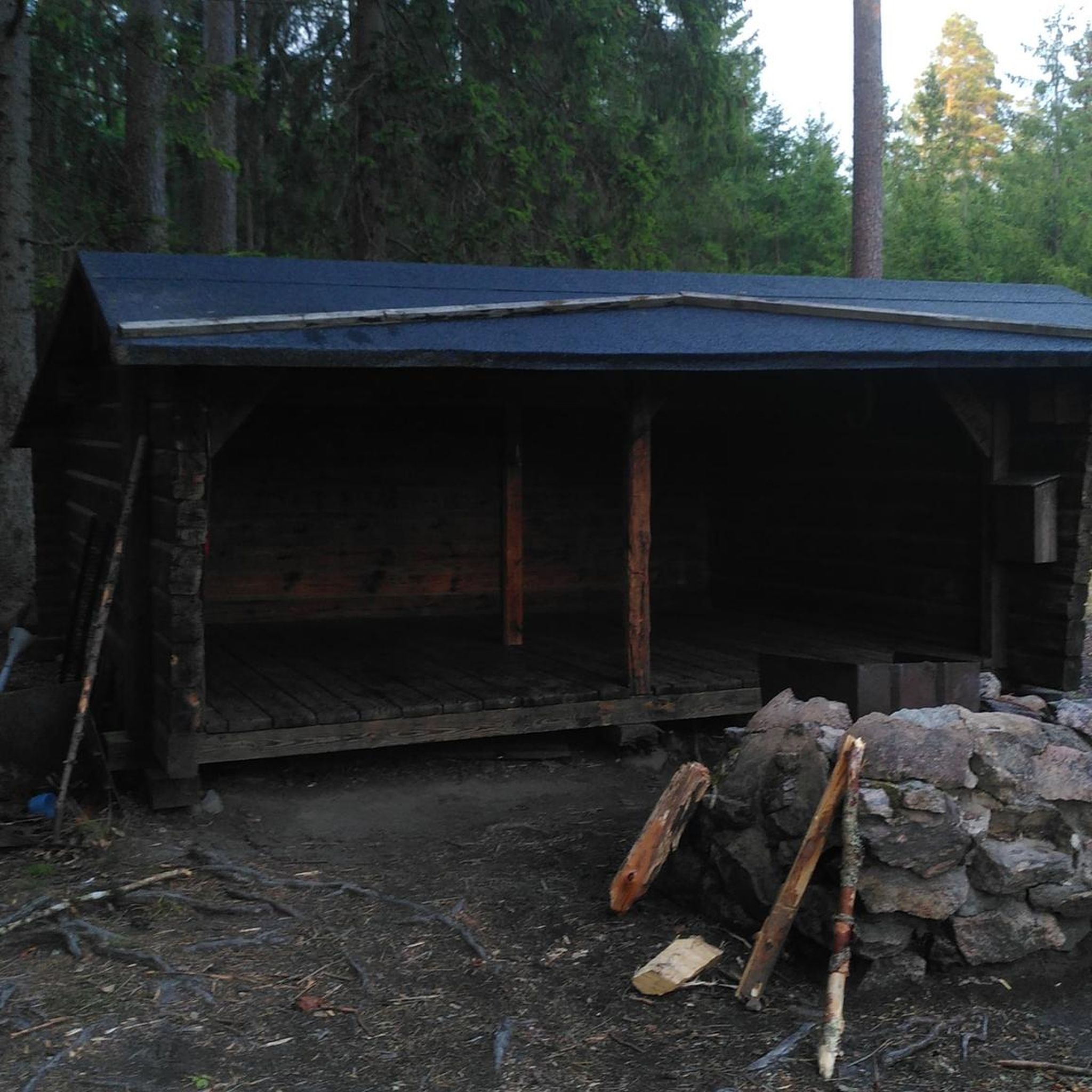
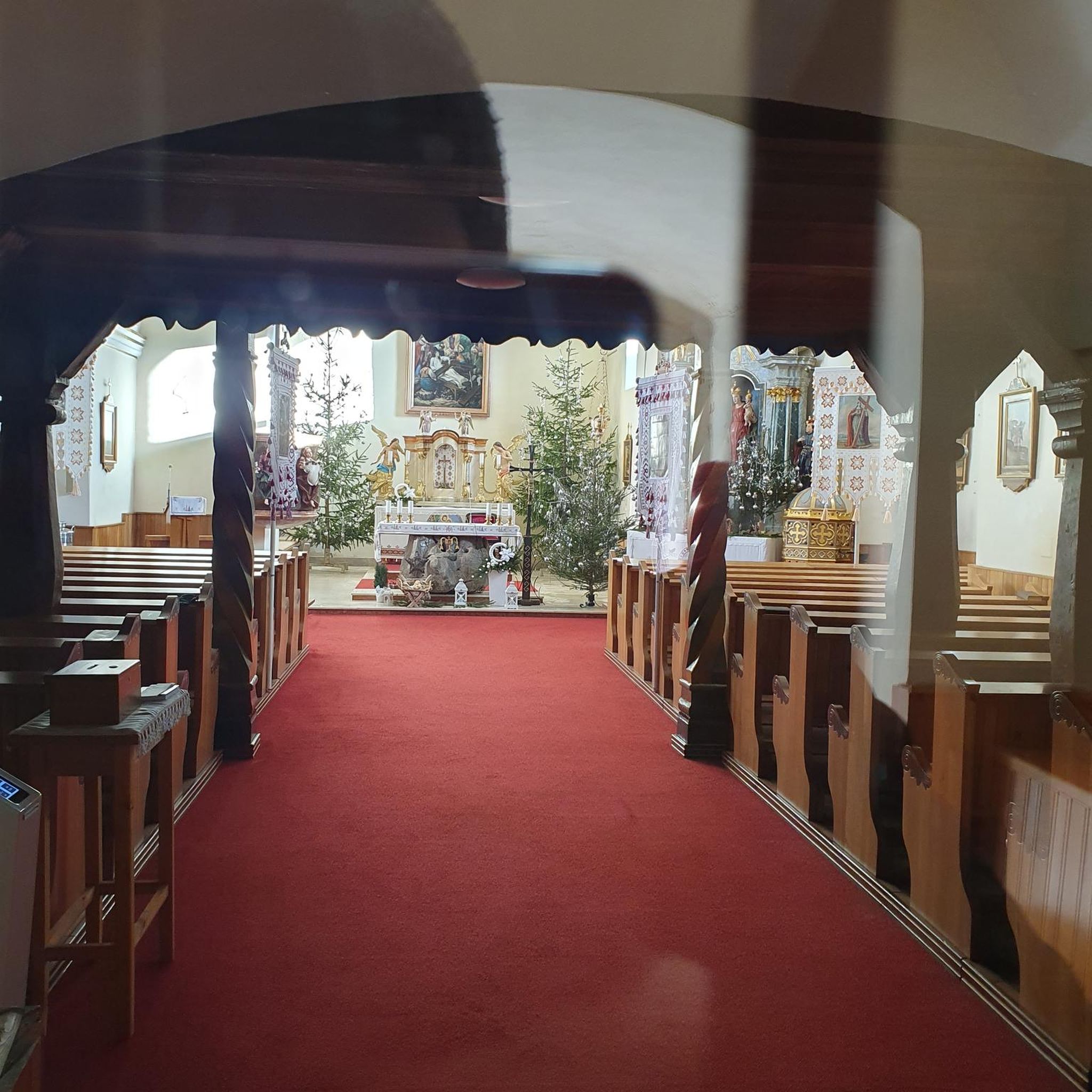

Tips from the Community

Parking available, perfect to start.
1
0

Frequently Asked Questions
How many hiking trails are available around Djulösjön?
There are over 20 hiking routes around Djulösjön, offering a variety of experiences. The majority, about 17, are considered easy, while 7 are moderate, providing options for different fitness levels.
Are there any easy hiking trails suitable for beginners or families?
Yes, Djulösjön is well-suited for easy hikes. An excellent option is the Herrgårdsvägen Bridge loop from Djulö kvarn, which is 2.4 km long and takes about 37 minutes to complete. This route leads through lakeside and forested areas, perfect for a relaxed outing.
What kind of terrain and scenery can I expect on the trails around Djulösjön?
The trails around Djulösjön feature a blend of serene forests, open areas, and picturesque lake views. The landscape is typical of the Swedish countryside, offering tranquil backdrops for your outdoor pursuits. Many routes have minimal elevation changes, making them accessible.
Are there any longer or more challenging routes for experienced hikers?
For those seeking a longer hike, the Herrgårdsvägen Bridge – Hydroelectric Power Plant loop from Katrineholm is a moderate 9.9 km path. This route extends further, providing varied scenery including forested sections and lakeside stretches, and takes approximately 2 hours 33 minutes.
What do other hikers enjoy most about the trails in Djulösjön?
The area is highly rated by the komoot community, with an average score of 4.6 stars. Reviewers often praise the scenic lake views, the tranquil forests, and the well-maintained, accessible paths that cater to various activity levels.
Are there any circular walks around Djulösjön?
Yes, many of the trails around Djulösjön are designed as circular loops. For example, the Herrgårdsvägen Bridge loop from Nävertorp is an easy 3.8 km circular route that offers a pleasant walk around the lake's surroundings.
Is Djulösjön suitable for dog-friendly hiking?
Djulösjön's natural environment with its forests and open areas makes it a great place for walks with dogs. Many trails are accessible and offer plenty of space, but always ensure your dog is kept on a leash where required and respect local regulations.
What is the best time of year to go hiking in Djulösjön?
Djulösjön offers enjoyable hiking experiences throughout the warmer months, from spring to autumn, when the forests are lush and the lake views are at their best. The area's accessible paths also make it suitable for winter hiking, though conditions may vary and require appropriate gear.
Are there facilities like cafes or places to rest along the trails?
While specific cafes directly on every trail are not common, the area around Djulö Camping, located by the lake, offers facilities like a beach cafe. This provides a convenient spot for refreshments before or after your hike.
Is there parking available for hikers near the trails?
Yes, parking is generally available at common starting points for trails around Djulösjön, such as near Djulö kvarn or Djulö Camping. These locations serve as good bases for accessing various routes.
Are there any trails that offer particularly good viewpoints of Djulösjön?
Many trails are designed to maximize the scenic lake views. Routes like the Herrgårdsvägen Bridge – Carl Ugglas Park Pond loop from Djulö kvarn, an easy 4.2 km path, frequently offer picturesque vistas of Djulösjön and its surrounding parkland.
How accessible are the trails for people with limited mobility or strollers?
A significant addition to the area's infrastructure is a newly inaugurated accessible hiking trail along Djulösjön's western shore, nearly 1 kilometer long. This trail enhances inclusivity, allowing a broader range of visitors, including those with strollers or limited mobility, to enjoy the lakeside environment.
Most popular routes around Djulösjön

Get inspired with the komoot mobile app


Explore more
Browse the best Hikes in other regions.
