Top 11 Mountain Passes in Tuolumne County
Mountain passes in Tuolumne County, situated in California's Sierra Nevada, feature diverse landscapes and recreational opportunities. The region is characterized by its high-elevation terrain, offering access to alpine environments and scenic routes. These passes provide pathways through the mountains, connecting different areas and showcasing the natural features of the Sierra Nevada.
Best mountain passes in Tuolumne County
- The most popular mountain passes is Donohue Pass, a mountain_pass that is snow covered until early summer or late spring. The view…
Last updated: October 13, 2026
Tioga Pass
Highlight • Mountain Pass
Tip by

Donohue Pass
Highlight • Mountain Pass
Tip by
Sign up now to discover places like this
Get recommendations on the best single tracks, peaks, & plenty of other exciting outdoor places.
Mono Pass
Highlight • Mountain Pass
Tip by

Sonora Pass Climb West
Highlight (Segment) • Climb
Tip by

Tioga Pass Climb
Highlight (Segment) • Climb
Tip by
Benson Pass
Highlight • Mountain Pass
Tip by
Brown Bear Pass
Highlight • Mountain Pass
Tip by
Straddling the Pacific Crest
Highlight • Mountain Pass
Tip by
Dorothy Pass
Highlight • Mountain Pass
Tip by
Yosemite National Park Eastern Entrance Gate
Highlight • Rest Area
Tip by

Sign up for free to discover even more mountain passes in Tuolumne County.
Already have an account?
Start today with a free account
Your next adventure awaits.
Popular around Tuolumne County




Tips from the Community

The Tioga Pass climb from Lee Vining is an absolutely spectacular and challenging road biking ascent on Highway 120, leading you to the highest mountain pass in the Sierra Nevada and into the eastern entrance of Yosemite National Park. Starting around 6,784 feet in Lee Vining, you'll climb approximately 12 to 12.5 miles, gaining about 3,160 to 3,170 feet to reach the 9,943-foot summit, with a moderate average gradient around 4.4-5.1% that becomes more sustained in the middle section. The scenery is breathtaking, transitioning from views of Mono Lake to alpine lakes, granite domes, and stunning mountain vistas as you ascend through forests into the high alpine environment.
0
0
The Sonora Pass climb from the west is one of California's most formidable and spectacular High Sierra ascents, renowned for its brutally steep upper section. After a long approach climb through forests and canyons, prepare for the final 9 miles / 14.5km starting near Kennedy Meadows; this section averages a steep 7-8% but culminates in incredibly tough ramps and switchbacks far exceeding 15% and reportedly hitting 20-26% near the summit. This climb will challenge you to an intense physical battle requiring your absolute lowest gears at very high altitude 9,624ft. Sonora Pass is seasonally closed due to deep snow in early May, often opening only in June or sometimes even July depending on snowpack.
0
0


This is the eastern entrance gate to Yosemite National Park, located at Tioga Pass. Here you can find more about the current opening hours of the pass: nps.gov/yose/planyourvisit/tiogaopen.htm
1
0

If you hike northbound or southbound - the scenery will change dramatically after you crossed Dorothy Pass! It is not the official end/ beginning of the Sierra Nevada, but it sure feels like it.
3
0
The climb up to Benson Pass is long and kind of strenuous. It might be windy at the pass, but the views are stunning.
3
0
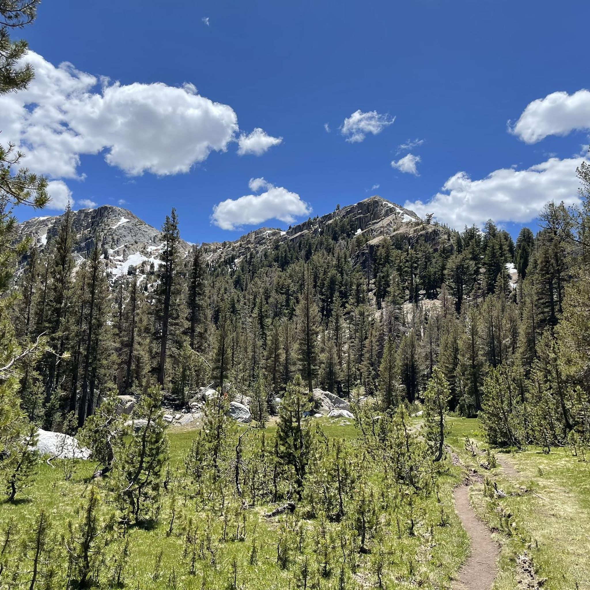
Donohue Pass is the last major pass along the PCT if you hike northbound. It is snow covered until early summer or late spring. The view into the valley with blue shimmering lakes is stunning. The climb from the north side (hiking southbound) is much steeper than from the south side.
5
0
Frequently Asked Questions
What are the most popular mountain passes for scenic drives in Tuolumne County?
For breathtaking scenic drives, Tioga Pass (Highway 120) offers iconic Yosemite scenery and access to Tuolumne Meadows. Sonora Pass (State Route 108) is known for its spectacular views, steep grades, and natural wonders like the Columns of the Giants. Monitor Pass (State Route 89), while primarily in Alpine County, is a favorite for its smooth pavement, curves, and broad open views, often included in scenic loops with Sonora Pass.
When is the best time to visit the mountain passes in Tuolumne County?
The best time to visit for driving and summer activities is generally from late spring to fall. Most major passes like Sonora Pass and Tioga Pass are closed during winter due to heavy snow, typically from November to May or even later into early summer. Always check current road conditions and opening hours before planning your trip, especially for Tioga Pass which can be found on the Yosemite National Park website.
What kind of outdoor activities can I do near the mountain passes?
The region offers a wide range of activities. Near Sonora Pass, you can enjoy fishing, road biking, horseback riding, hiking, and camping, with the Pacific Crest Trail crossing Highway 108. Tioga Pass provides access to numerous hiking trails around Tuolumne Meadows and Tenaya Lake, as well as opportunities for kayaking. Monitor Pass is popular for motorcyclists, scenic drivers, UTVs, and dual-sport bikes, with many dirt roads to explore. For more specific routes, you can find running trails, road cycling routes, and MTB trails throughout Tuolumne County.
Are there challenging hiking passes for experienced backpackers?
Yes, Yosemite National Park, which includes parts of Tuolumne County, features several high-country passes accessible by foot for strenuous backpacking. These include Donohue Pass, which is part of the John Muir Trail and Pacific Crest Trail, Mono Pass with its rugged tundra landscapes, and Vogelsang Pass, offering access to backcountry lakes. Benson Pass is also known for its long and strenuous climb.
What unique natural features can I see at the mountain passes?
Sonora Pass features geological formations like the 'Columns of the Giants' (columnar basalt rocks) and the 'Trail of the Gargoyles' (volcanic rock formations), plus panoramic views from Donnell Vista. Tioga Pass offers glacier-polished granite, alpine lakes like Tenaya Lake, and the vast subalpine Tuolumne Meadows. Brown Bear Pass is notable for its red granite saddle marking a watershed transition.
Are there any family-friendly activities or viewpoints at the passes?
Many areas around the passes offer family-friendly options. Tuolumne Meadows, accessible via Tioga Pass, is excellent for picnics and wildlife spotting. Tenaya Lake is perfect for enjoying the scenery, though the water is cold. Donnell Vista on Sonora Pass provides a great spot for scenic views. While some hiking passes are challenging, many areas offer easier walks and opportunities to enjoy nature together.
What should I know about road conditions and closures for the main passes?
Sonora Pass (State Route 108), Tioga Pass (Highway 120), and Monitor Pass (State Route 89) are all seasonal roads, typically closing in late fall (around November) and reopening in late spring or early summer, depending on snowpack. Sonora Pass is particularly known for being extremely steep, narrow, and winding, making it unsuitable for oversized vehicles. Always check Caltrans or Yosemite National Park websites for current road status before traveling.
Can I find opportunities for winter sports at the mountain passes?
Yes, when unplowed in winter, Sonora Pass transforms into a destination for snowmobiling, snowshoeing, and cross-country skiing, particularly in the Bridgeport Winter Recreation Area. While the main roads over Tioga and Monitor Passes are closed, some areas nearby might offer winter recreation depending on conditions and access.
What do visitors enjoy most about the mountain passes in Tuolumne County?
Visitors frequently praise the spectacular views and diverse recreational opportunities. The stunning vistas from places like Olmsted Point on Tioga Pass and the panoramic scenery along Sonora Pass are highly appreciated. The challenging yet rewarding backcountry hiking, the unique geological formations, and the remote feel of passes like Monitor Pass also contribute to a memorable experience.
Are there any specific cycling events associated with these passes?
Yes, Monitor Pass is one of the passes used for the 'Death Ride,' an annual cycling event that attracts thousands of participants. This highlights the pass's appeal for cyclists due to its smooth pavement, curves, and breathtaking scenery.
Where can I find information on current opening hours for Tioga Pass?
You can find the most up-to-date information on the current opening hours for Tioga Pass by visiting the official Yosemite National Park website. Clearing of the Tioga Road normally begins on April 15 each year and usually takes between one and two months, with closures typically around mid-November.
Most popular routes in Tuolumne County
Most popular attractions in Tuolumne County

Get inspired with the komoot mobile app


Didn’t find what you were looking for?
Find even more amazing mountain passes in Tuolumne County organized by region:
Explore more
See even more epic mountain passes by checking out these guides in Tuolumne County:
