The best cycling routes in Douglas County
4.7
(28)
678
riders
66
rides
Touring cycling routes in Douglas County traverse a landscape characterized by the eastern slopes of the Sierra Nevada mountains, offering varied terrain from high-elevation passes to valley floors. The region features routes that wind through forested areas, open rangelands, and along the edges of Lake Tahoe, providing diverse cycling experiences. Cyclists can expect routes with significant elevation changes as well as flatter paths near water bodies.
Best touring cycling routes in Douglas County
- The most popular touring cycling route is South Tahoe Loop, a 6.6 miles (10.7 km) trail that takes 37 minutes to complete. This easy route offers views of the Lake Tahoe area.
- Another top favourite among local touring cyclists is Upper Truckee River Bike Path – South Lake Tahoe Beach loop from Van Sickle Bi-State Park, a moderate 20.9 miles (33.7 km) path. This route combines riverside paths with lake views.
- Local touring cyclists also love the Van Sickle Trailhead – Nevada Stateline Casinos loop from Van Sickle Bi-State Park, a 54.2 miles (87.3 km) trail leading through mountainous terrain, often completed in about 5 hours 52 minutes.
- Touring cycling in Douglas County is defined by Sierra Nevada mountain passes, forested sections, and views of Lake Tahoe. The network offers options for different ability levels, from easy loops to challenging climbs.
- The routes in Douglas County are highly rated by the komoot community with an average score of 4.6 stars from over 18 reviews. More than 500 touring cyclists have used komoot to explore Douglas County's varied terrain.
Last updated: August 18, 2026
10.7km
00:37
30m
30m
Imagine a leisurely touring bicycle ride around South Lake Tahoe, where the scenery constantly shifts. This easy 6.6-mile (10.7 km) loop offers expansive views of the lake, especially as you pass South Lake Tahoe Beach. You'll experience a gentle ride with only 92 feet (28 metres) of elevation gain, making it perfect for a quick outing. The route blends natural beauty with glimpses of the Sierra Nevada Mountains and the lively atmosphere of local neighborhoods. Expect to complete this enjoyable journey in about 37 minutes.
When planning your visit, note that this touring bicycle route primarily follows paved, well-maintained roads, including designated bike lanes and secondary streets. Parking is generally available throughout the South Lake Tahoe area, providing convenient access to the loop. Be aware that sections along Highway 50 can experience significant traffic, particularly during the busy summer months. For a more relaxed experience, consider riding during off-peak hours or seasons.
This loop offers a unique blend of natural and urban environments, showcasing both the stunning Lake Tahoe shoreline and the vibrant local community. As you cycle, you'll transition from serene lake views to bustling shopping districts, providing a comprehensive feel for the South Lake Tahoe area. It's an excellent way to quickly immerse yourself in the diverse character of this popular destination.
7
riders
Moderate bike ride. Good fitness required. Mostly paved surfaces. Suitable for all skill levels.

Sign up for free
13
riders
90.9km
06:06
1,470m
1,470m
Hard bike ride. Very good fitness required. Mostly paved surfaces. Suitable for all skill levels.
17
riders
18.9km
01:50
260m
260m
The Clear Creek Trail loop from Indian Hills, as a touring cycling route, presents a bit of a puzzle, as the Indian Hills area is more commonly associated with rugged mountain biking trails. However, if you're looking for a moderate touring cycling experience, the broader Clear Creek Trail in Colorado offers a delightful ride. You'll find yourself pedaling along Clear Creek, enjoying a mix of urban greenbelt, serene riverside views, and eventually, impressive mountain backdrops as you head towards Clear Creek Canyon. This route, as named, covers 11.7 miles (18.9 km) with 867 feet (264 metres) of elevation gain, typically completed in about 1 hour and 50 minutes. It's a great option for those seeking a scenic and accessible ride with some gentle climbs.
Planning your visit to the general Clear Creek Trail is straightforward, with many sections offering amenities like parking, restrooms, and even bike repair stations. The trail is largely paved, transitioning to crushed stone further west, making it suitable for touring bikes. While specific access for an "Indian Hills" touring loop is unclear, numerous entry points along the main Clear Creek Trail provide easy access. It's a popular spot, so arriving earlier in the day can help secure parking, especially on weekends.
This trail is a significant part of the visionary Peaks to Plains Trail, aiming to connect Denver to Loveland Pass, and it links up with other major regional trails. This connectivity allows for extended adventures beyond the named loop. The trail's path along Clear Creek provides opportunities for observing local wildlife and enjoying nature, even within more developed areas, offering a refreshing escape close to urban centers.
11
riders
Hard bike ride. Very good fitness required. Mostly paved surfaces. Suitable for all skill levels.
10
riders
45.7km
02:52
530m
530m
Hard bike ride. Very good fitness required. Mostly paved surfaces. Suitable for all skill levels.
5.0
(1)
11
riders
45.2km
02:44
370m
370m
Moderate bike ride. Good fitness required. Mostly paved surfaces. Suitable for all skill levels.
5.0
(1)
15
riders
Easy bike ride. Great for any fitness level. Mostly paved surfaces. Suitable for all skill levels.
7
riders
45.5km
04:45
890m
890m
Hard bike ride. Very good fitness required. Mostly paved surfaces. Suitable for all skill levels.
6
riders
41.7km
02:32
390m
390m
Moderate bike ride. Good fitness required. Mostly paved surfaces. Suitable for all skill levels.
Get access to more routes and recommendations from other explorers.
Sign up for free
Already have an account?
Our route recommendations are based on thousands of hikes, rides, and runs completed by other people on komoot.
Start today with a free account
Your next adventure awaits.
Login or Signup
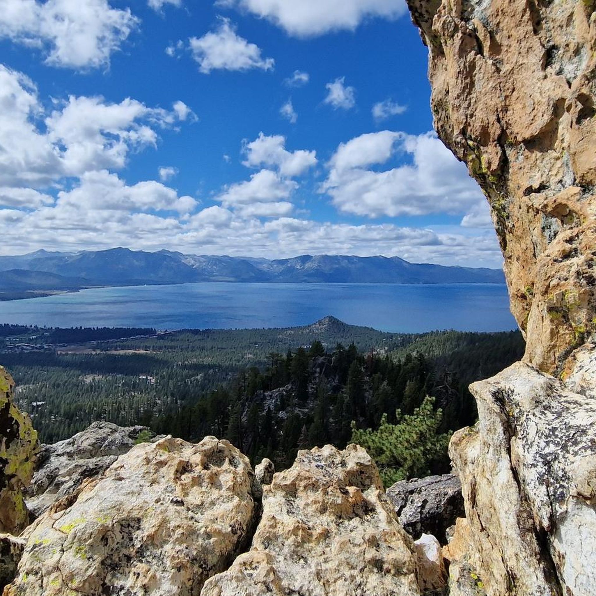
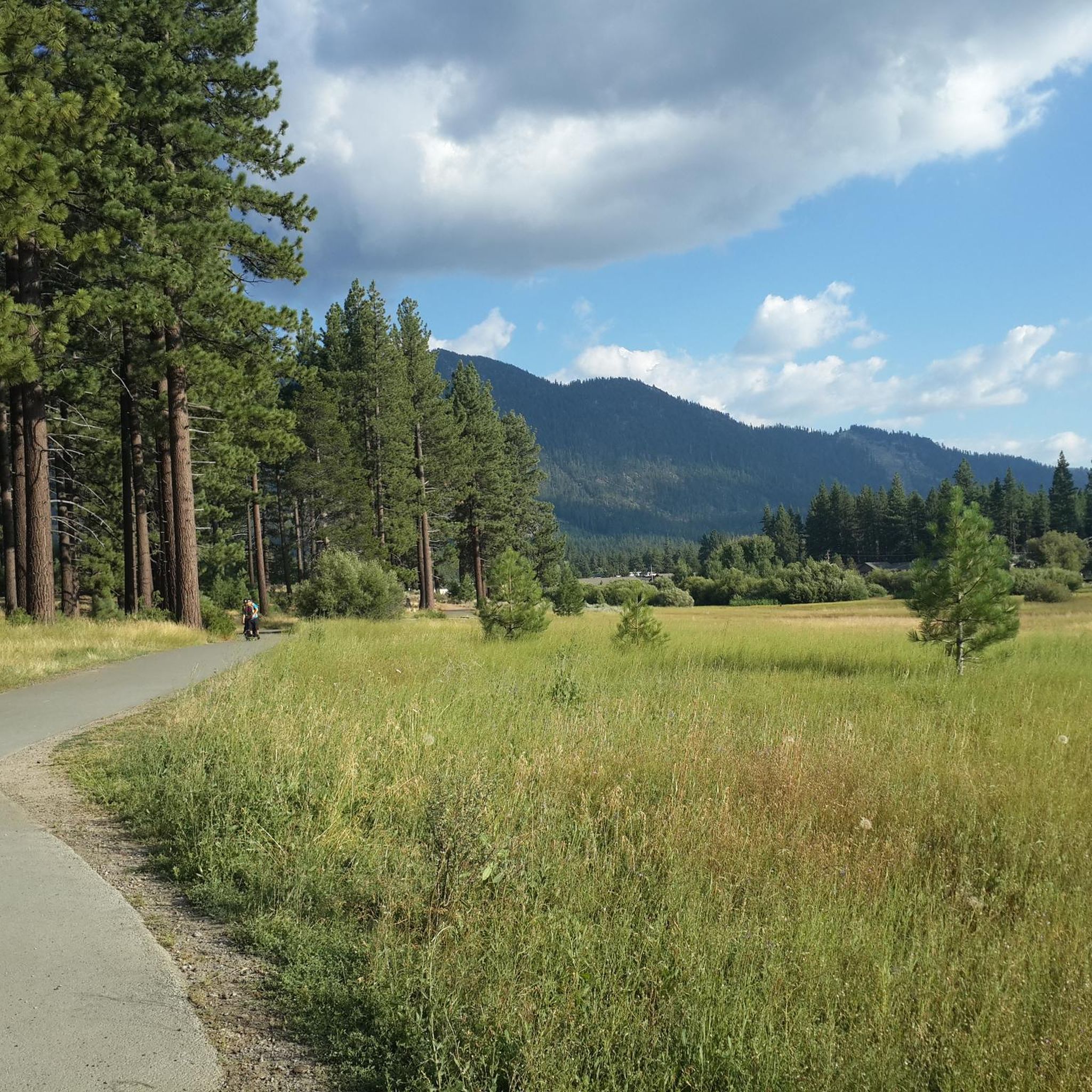
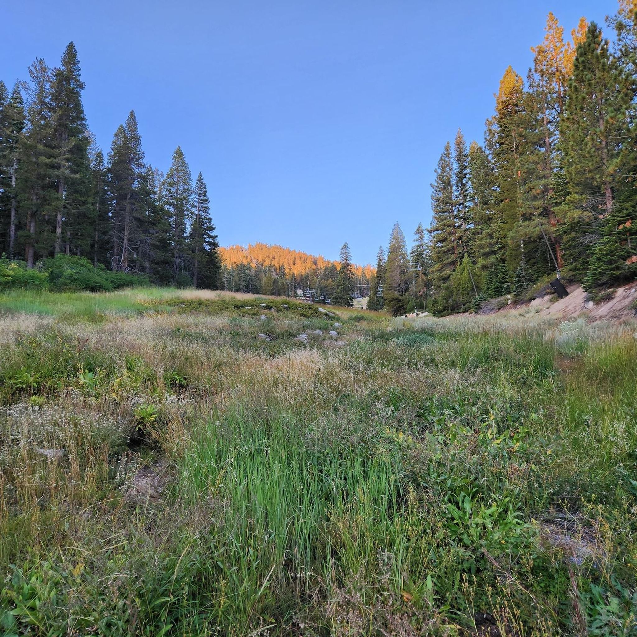
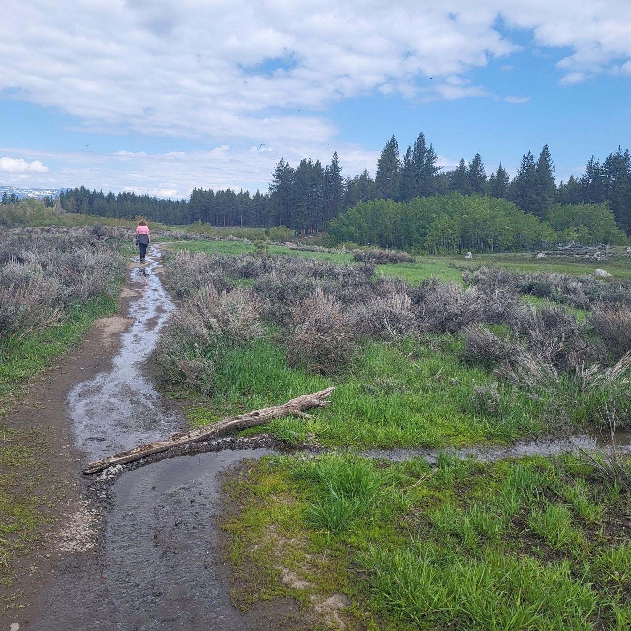
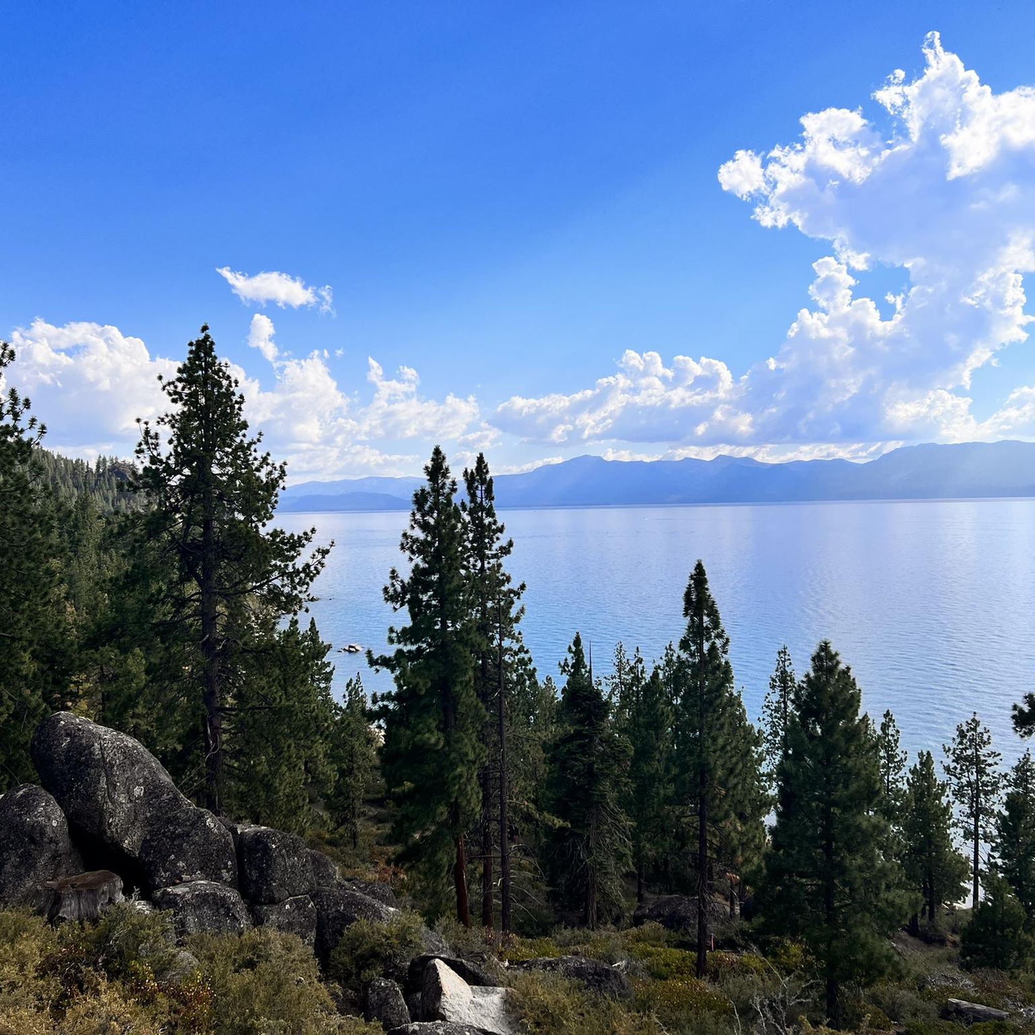
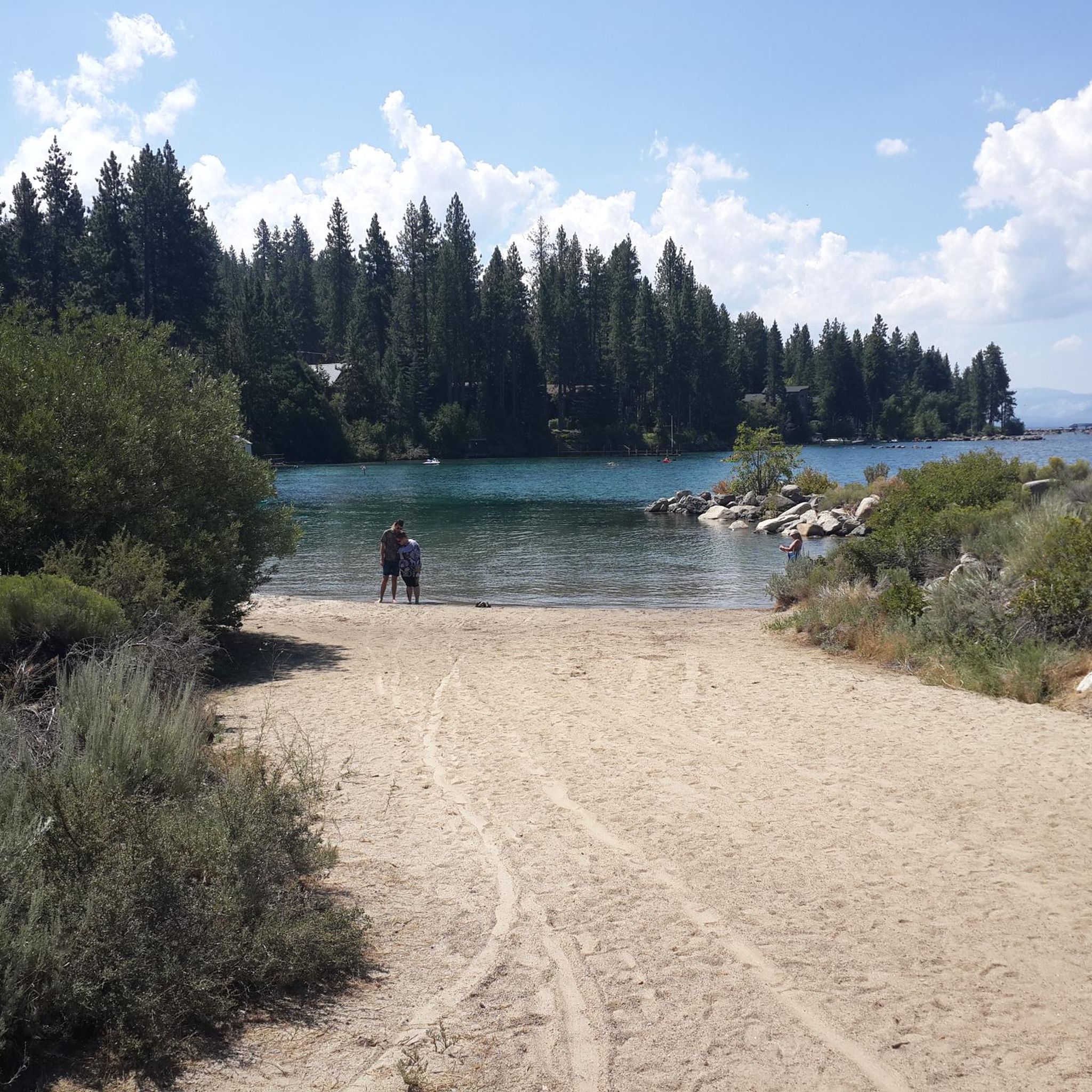
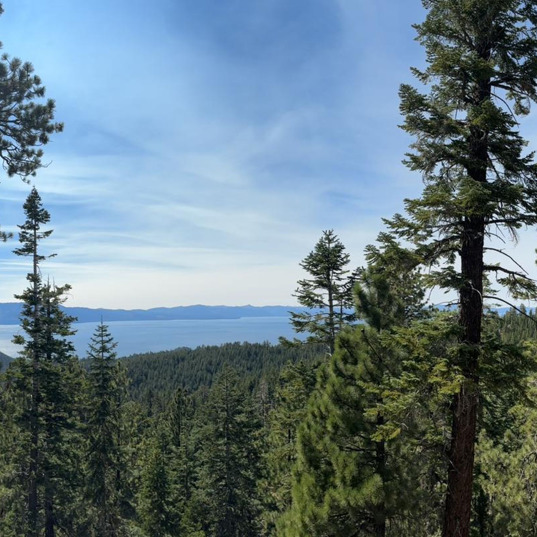
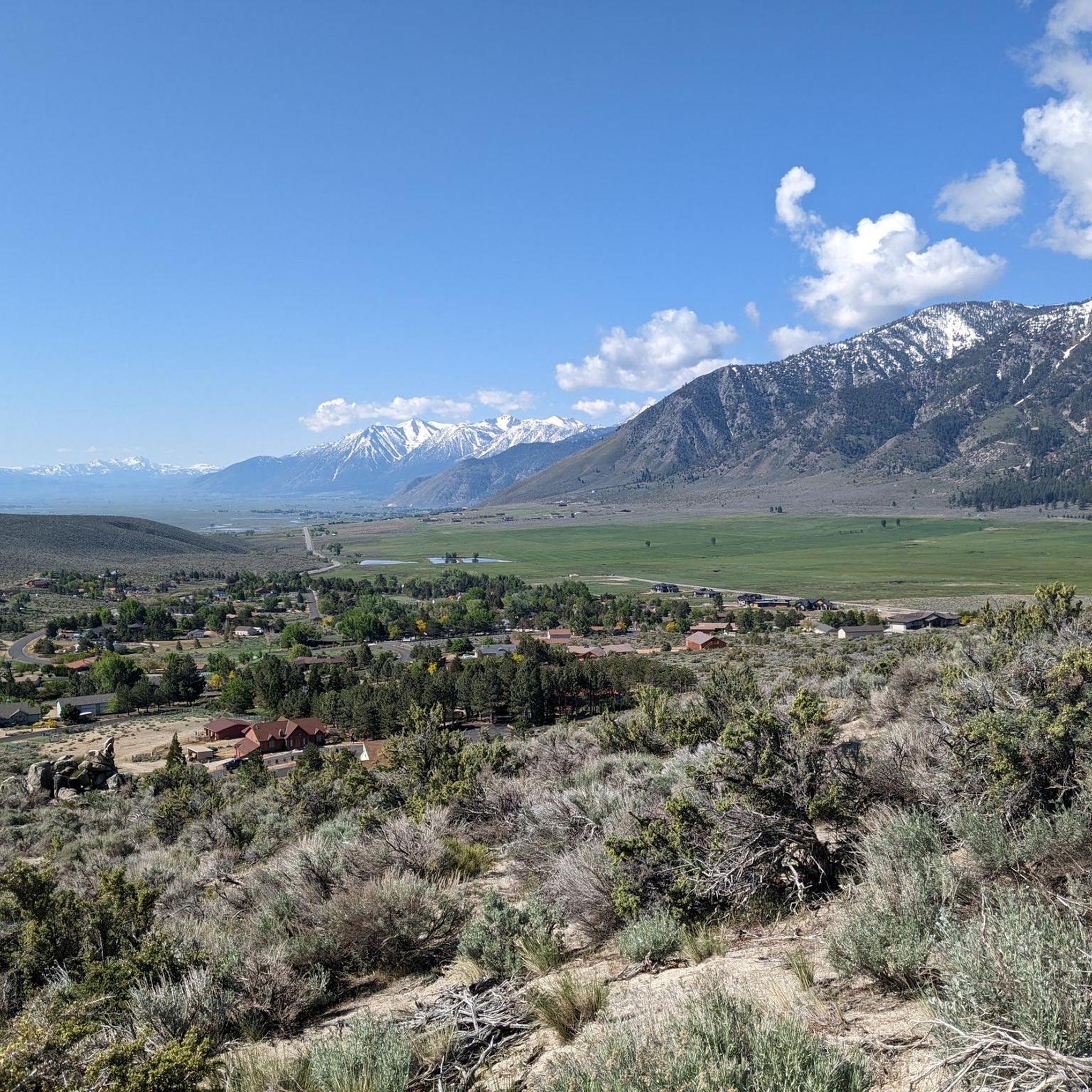

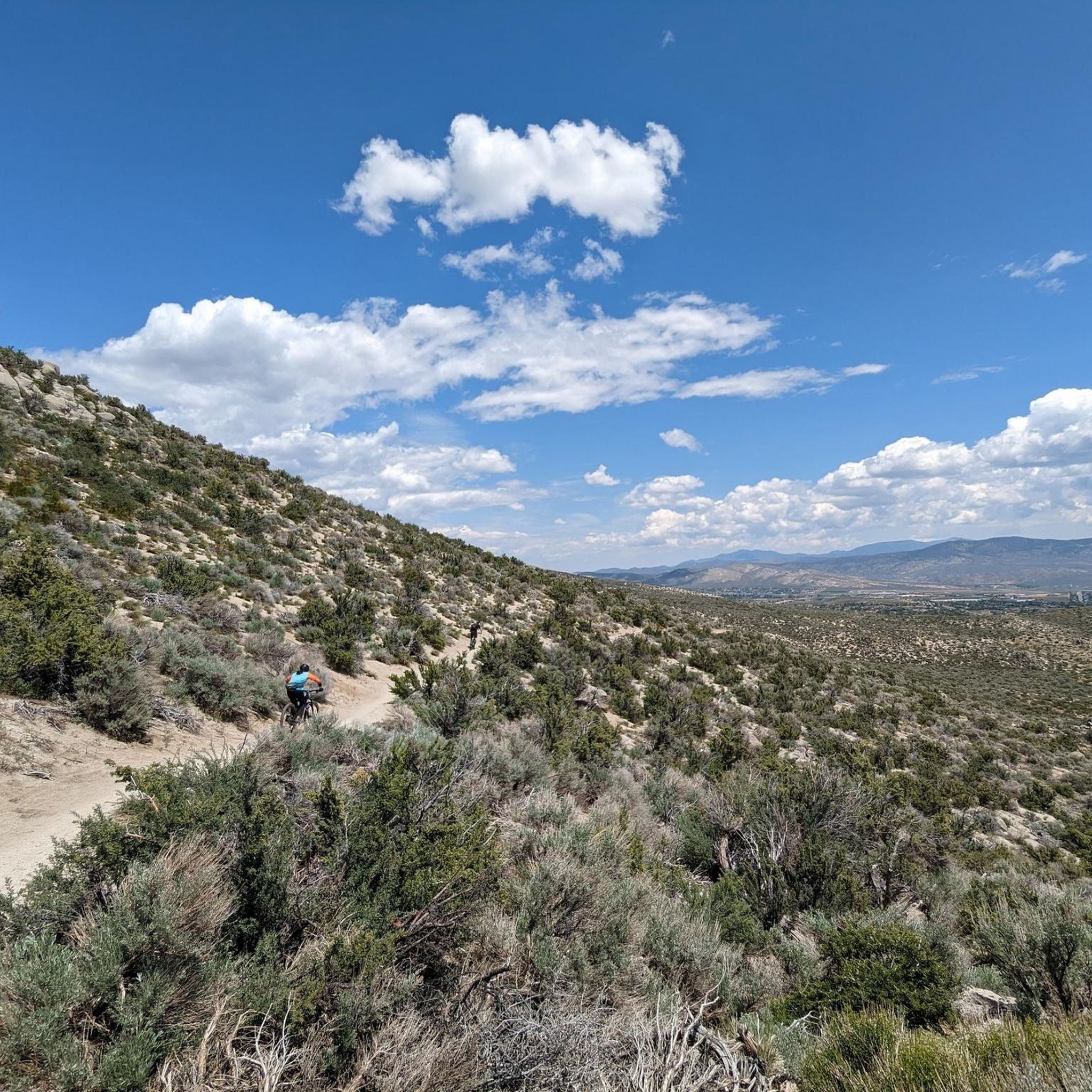
Other adventures in Douglas County


Tips from the Community

Beautiful mountain lake with crystal-clear water (unfortunately a bit cold :-))
0
0


A smattering of picnic tables dot the water's edge and a signpost helps identify native and non-native fish in the pond. This is a fantastic place to bring kids, with a highly accessible shoreline and shaded wall to sit on at the edge of the water. It's also a great spot to take a break from your ride!
0
0
There are parking lots where you can pull over on either side of the summit. A historic marker on a large rock on the south side tells the story of how Spooner Summit played a role in 1800s mining history and served as a source of lumber for prospecting industries.
0
0

If a refueling break is needed, this might be the healthiest spot, reasonably priced, with outdoor seating near the beach, along the main drag across from the campground.
2
0
Perfect paved dedicated bike trail in safe distance from roads
2
0
Frequently Asked Questions
How many touring cycling routes are available in Douglas County?
Douglas County offers a wide range of touring cycling routes, with over 60 options available. These routes cater to various skill levels, from easy lakeside paths to challenging mountain climbs.
Are there family-friendly touring cycling routes in Douglas County?
Yes, Douglas County has several easy routes suitable for families. The South Tahoe Loop is a great option, offering scenic views of the Lake Tahoe area over 6.6 miles (10.7 km) with minimal elevation gain. Another easy choice is the Sprouts 🌱 organic restaurant loop from Van Sickle Bi-State Park, which is just under 8 miles (12.9 km) and relatively flat.
What kind of terrain can I expect on touring cycling routes in Douglas County?
Touring cycling in Douglas County is characterized by the eastern slopes of the Sierra Nevada mountains. You'll find routes that wind through forested areas, open rangelands, and along the edges of Lake Tahoe. This means you can expect significant elevation changes on some routes, as well as flatter paths near water bodies.
Are there any circular touring cycling routes in Douglas County?
Many routes in Douglas County are designed as loops, offering a convenient way to explore without retracing your path. Examples include the South Tahoe Loop, the Upper Truckee River Bike Path – South Lake Tahoe Beach loop, and the Clear Creek Trail loop from Indian Hills.
What are some notable landmarks or attractions I can see along the touring cycling routes?
Douglas County's routes offer access to several interesting points. You might encounter the Van Sickle Trailhead, a Bridge & Waterfall, or the Lam Watah Historic Trailhead. For stunning natural features, look out for Cave Rock and Castle Rock, which offer impressive views.
Are there routes that offer views of Lake Tahoe?
Absolutely. Many touring cycling routes in Douglas County provide stunning views of Lake Tahoe. The South Tahoe Loop and the Upper Truckee River Bike Path – South Lake Tahoe Beach loop are excellent choices for lakeside scenery. You can also visit Logan Shoals Vista Point for panoramic views.
What is the best time of year to go touring cycling in Douglas County?
Given the region's mountainous terrain and proximity to the Sierra Nevada, the best time for touring cycling is typically from late spring through early fall (May to October) when the weather is milder and trails are clear of snow. Always check local conditions before heading out, especially for higher elevation routes.
What do other touring cyclists enjoy most about Douglas County?
The touring cycling routes in Douglas County are highly rated by the komoot community, with an average score of 4.6 stars from over 18 reviews. Cyclists often praise the diverse terrain, from challenging mountain passes to serene lakeside paths, and the breathtaking views of Lake Tahoe and the Sierra Nevada mountains.
Are there any challenging routes for experienced touring cyclists?
Yes, Douglas County offers several difficult routes for experienced cyclists seeking a challenge. The Van Sickle Trailhead – Nevada Stateline Casinos loop is a demanding 54.2 miles (87.3 km) trail with significant elevation changes. Another challenging option is the Clear Creek Trail – Spooner Summit loop, which covers 28.3 miles (45.5 km) with substantial climbs.
Can I find food or amenities along the touring cycling routes?
While many routes traverse natural landscapes, some pass near towns or specific amenities. For example, the Sprouts 🌱 organic restaurant loop from Van Sickle Bi-State Park is designed to include a stop for food. For longer rides, it's always advisable to carry sufficient provisions and check route details for specific amenities.
What are the difficulty levels of touring cycling routes in Douglas County?
The routes in Douglas County offer a good mix of difficulty levels. Approximately 25 routes are rated as easy, 13 as moderate, and 23 as difficult. This variety ensures options for cyclists of all experience levels, from leisurely rides to strenuous climbs.
Most popular routes in Douglas County
Most popular attractions in Douglas County

Get inspired with the komoot mobile app


Didn’t find what you were looking for?
Check out more Cycling routes throughout Douglas County below and find the perfect route in your destination.
Explore more
Browse the best Cycling routes in other regions.
