The best walks and hikes in Mendocino County
4.6
(71)
977
hikers
87
hikes
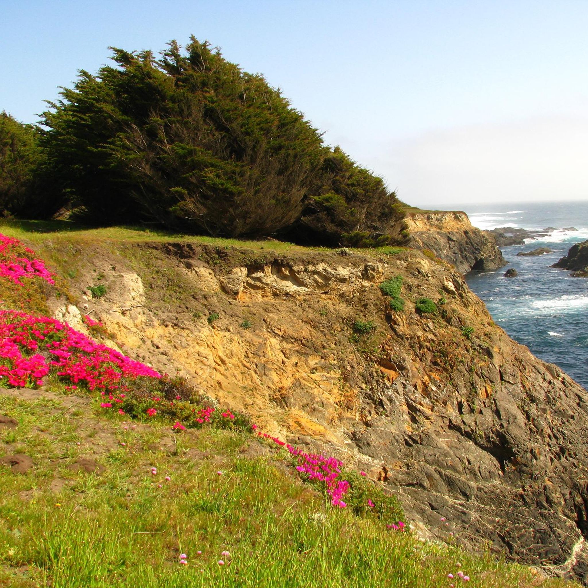
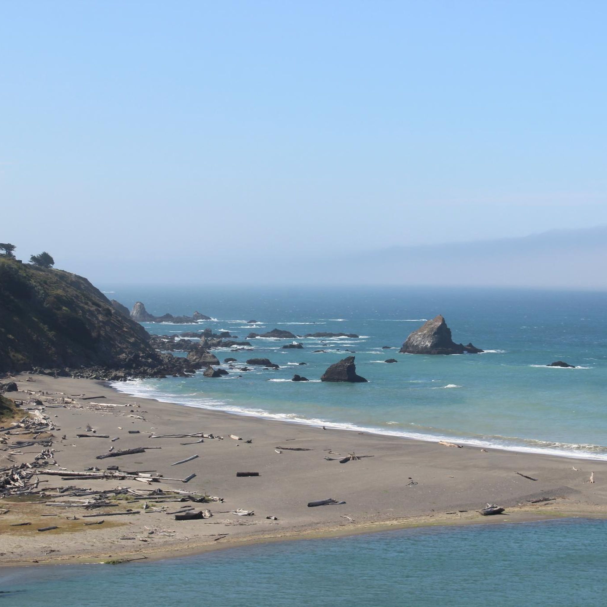
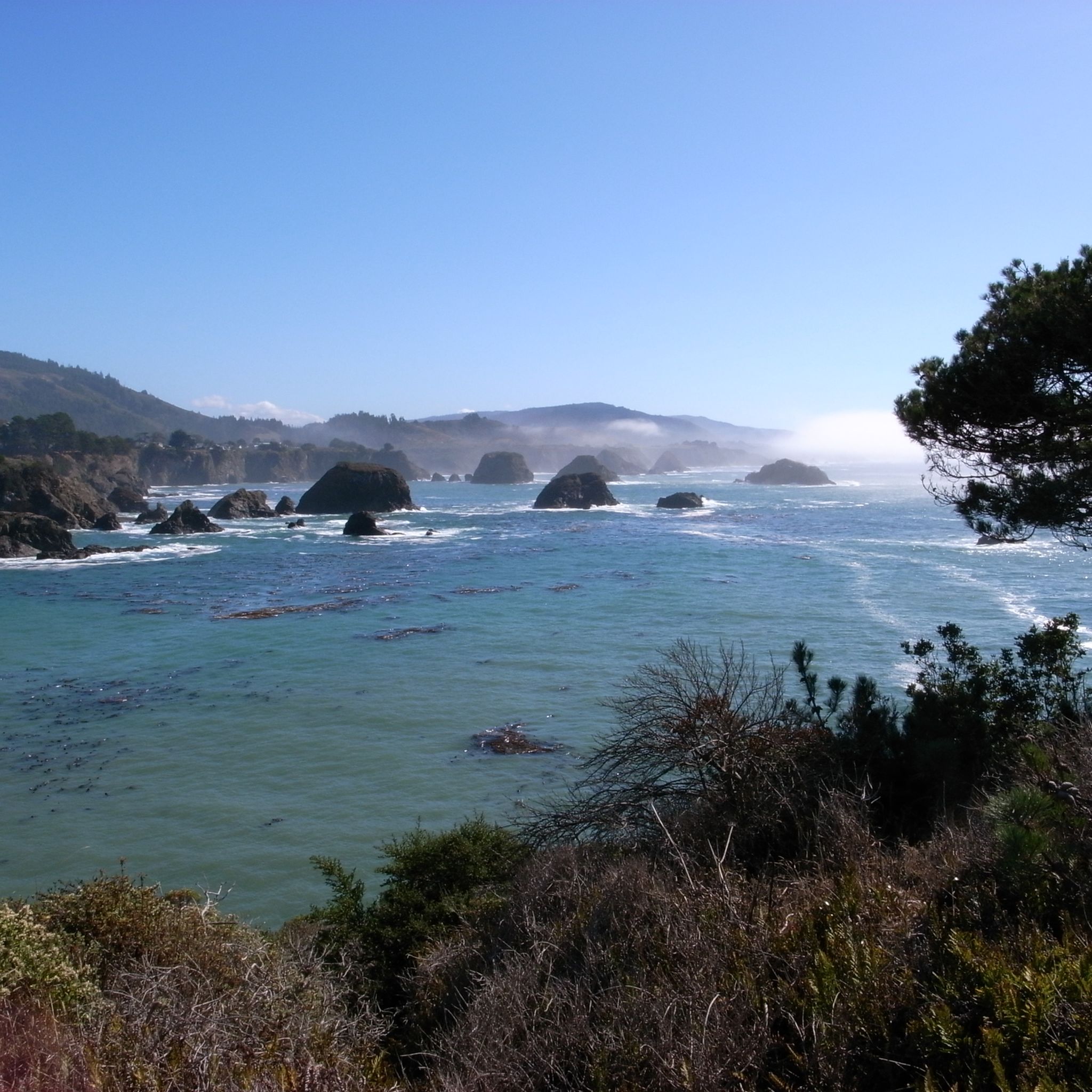
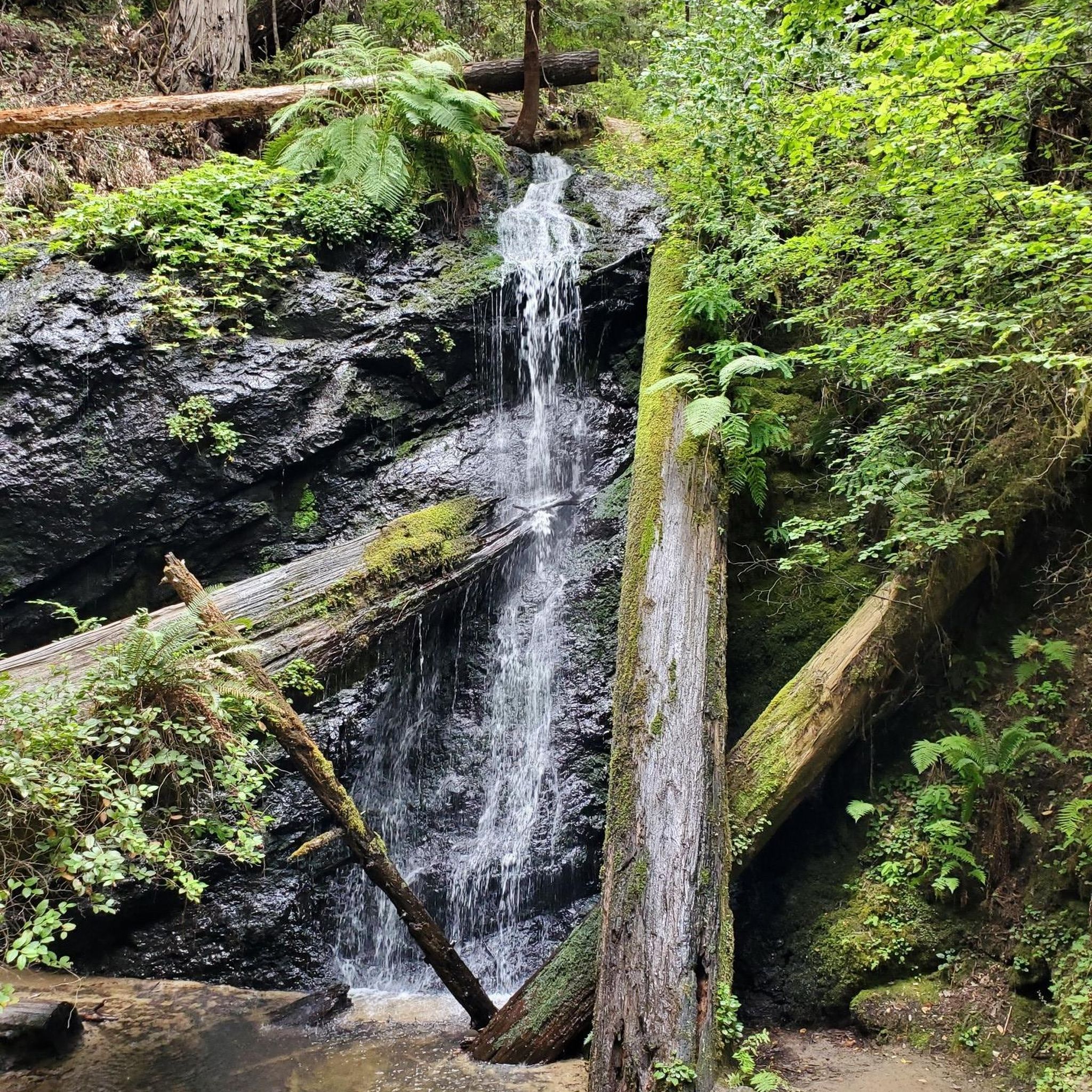
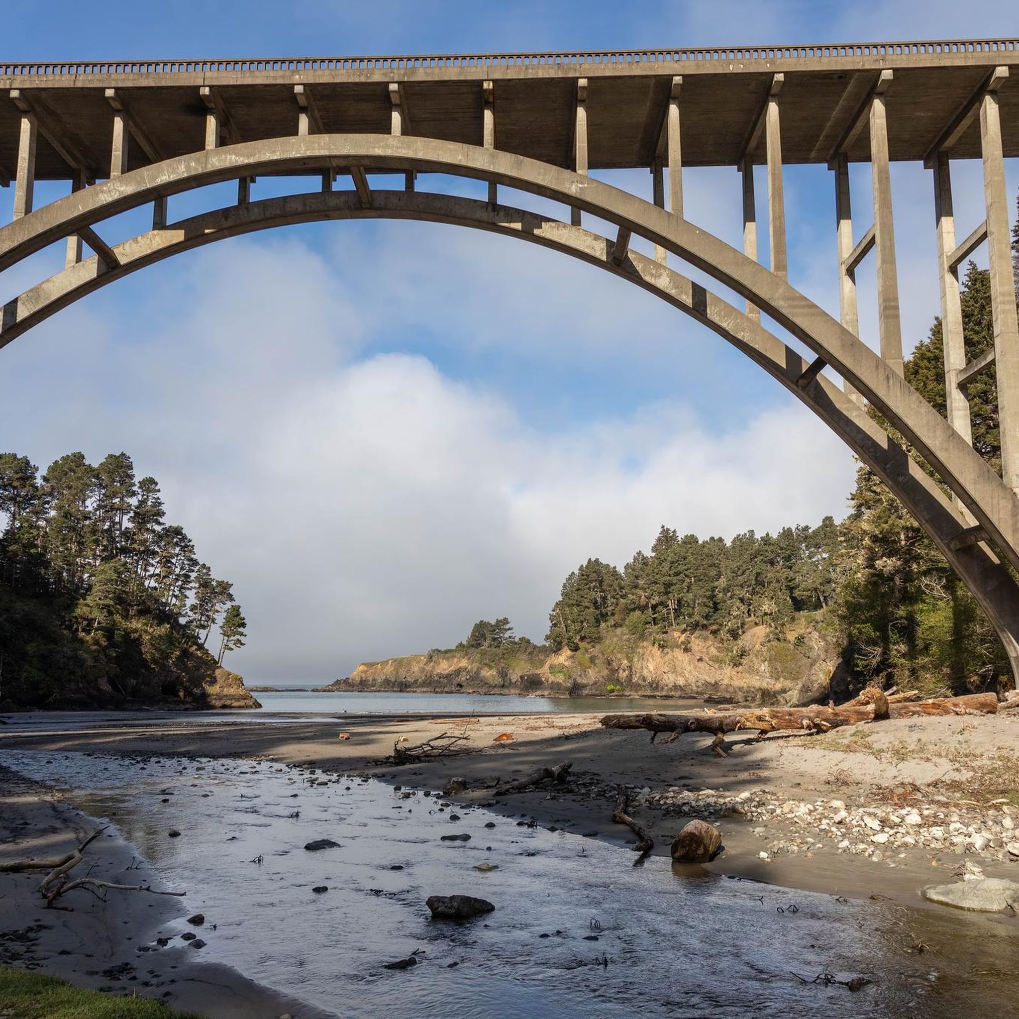
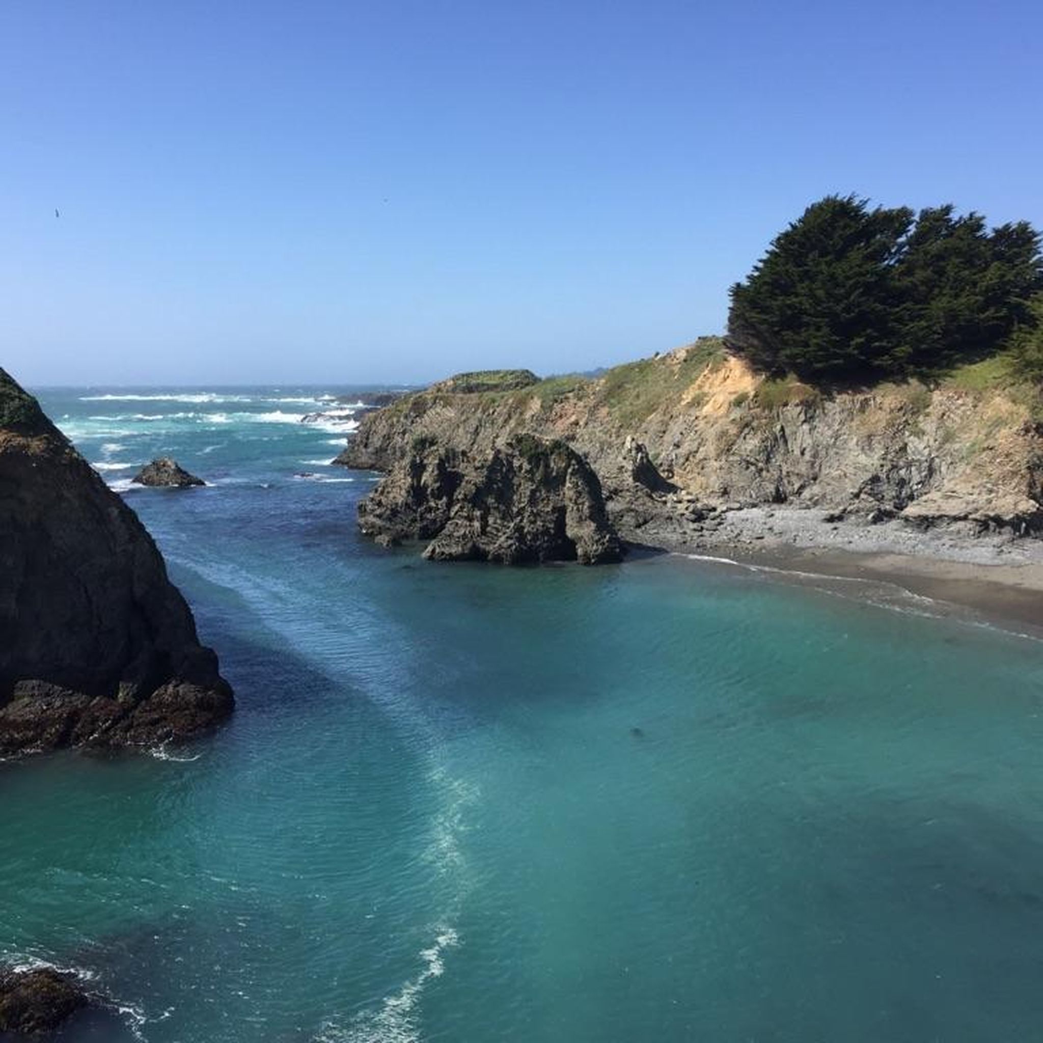
Hiking in Mendocino County offers diverse natural landscapes, from rugged coastlines to ancient redwood forests. The region features dramatic ocean bluffs, sea arches, and lush fern canyons. Inland areas provide expansive forests and river canyons, creating varied terrain for exploration.
Best hiking trails in Mendocino County
- The most popular hiking route is Ecological Staircase Trail, a 5.1 miles (8.3 km) trail that takes 2 hours 13 minutes to complete. This route showcases five distinct marine terraces with unique ecology. …
Last updated: July 8, 2026
5.0
(2)
45
hikers
8.29km
02:13
100m
100m
Embark on the Ecological Staircase Trail, a moderate hike that guides you through a series of distinct ecosystems. This route covers 5.2 miles (8.3 km) with a gentle elevation gain…
5.0
(2)
25
hikers
2.77km
00:52
110m
110m
Embark on the Montgomery Trail, an easy hike spanning 1.7 miles (2.8 km) with a gentle 348 feet (106 metres) of elevation gain, typically completed in about 52 minutes. This…

Sign up for free
6
hikers
6.16km
01:39
70m
70m
Embark on the Hendy Woods Grand Tour Loop, an easy hiking route that guides you through a majestic old-growth redwood forest. This loop covers 3.8 miles (6.2 km) with a…
5
hikers
1.77km
00:28
10m
30m
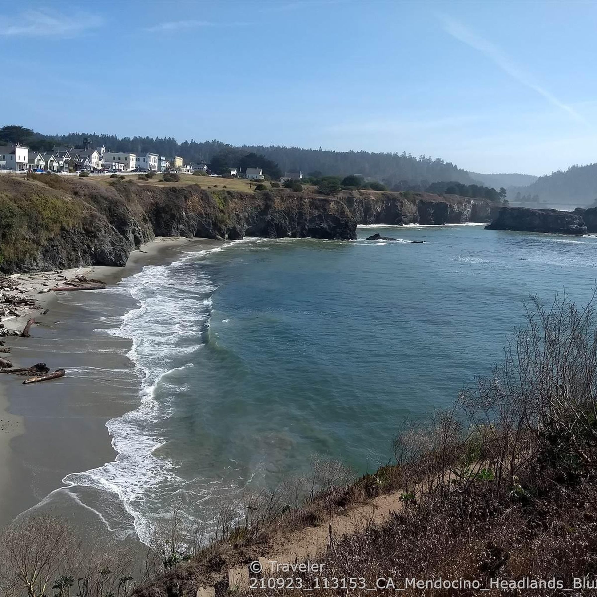
Imagine a stroll where the Pacific Ocean is your constant companion, with dramatic cliffs and crashing waves providing the soundtrack. The Mendocino Headlands Bluff Trail offers just that, winding along…
4
hikers
7.91km
02:24
280m
250m
Embark on the Park Gulch Trail for a moderate hiking experience through the diverse landscapes of Jackson Demonstration State Forest. This route, spanning 4.9 miles (7.9 km), offers a mix…
2
hikers
3.19km
00:50
20m
30m
The Ka Kahleh Trail, named for the Northern Pomo word meaning "white water," offers a truly scenic and accessible coastal experience in Fort Bragg. This easy 2.0-mile (3.2 km) hike,…
1
hikers
15.4km
04:42
440m
640m
The Lost Coast Trail: Needle Rock to Wheeler Camp offers a rare glimpse into California's undeveloped shoreline, guiding you through a rugged landscape of high seaside bluffs and deep, redwood-filled…
Explore the rugged beauty of the Point Arena-Stornetta Unit of the California Coastal National Monument on an easy hike that spans 3.0 miles (4.9 km). You will experience dramatic ocean…
1.68km
00:29
40m
40m
Begin your easy hike at Greenwood State Beach, where you'll enjoy sweeping views of the Pacific Ocean as you make your way down to the shore. This route covers 1.0…
3.21km
00:51
20m
60m
Embark on an easy 2.0-mile (3.2 km) hike along the Point Cabrillo Light Station Coastal Trail, where you'll gain a gentle 72 feet (22 metres) in elevation over approximately 51…
Get access to more routes and recommendations from other explorers.
Sign up for free
Already have an account?
Our route recommendations are based on thousands of hikes, rides, and runs completed by other people on komoot.
Start today with a free account
Your next adventure awaits.
Login or Signup
Popular around Mendocino County



Other adventures in Mendocino County

Tips from the Community

Noyo Headlands Park is a popular park that is over 104 acres along coastal cliffs. There is a multiuse trail (Ka Kahlen Trail) that cuts through the park.
0
0

Protected camp area just a little inlands from the beach access, along a creek. The Lost Coast Trail runs on the north bank of the creek. The bridge is used by a spur trail to the beach.
0
0

There's not much glass left on "Glass Beach." It seems to have been collected by eager tourists. You have to look very closely to see even a few shards of glass. Despite the ban, the only activity tourists seem to be doing there is collecting the last pieces of glass. It was absolutely not worth it.
0
0

The Sinkyone Wilderness State Park Visitor Center serves as a gateway to the park's rugged landscapes and rich cultural history. Located in a remote area, the center offers information on park history, trail maps, wildlife, and the Indigenous people who have lived in this area for millennia. There are exhibits on the local ecosystem, conservation efforts, and Sinkyone heritage. Basic amenities like restrooms are available.
1
0
After crossing the famous Pudding Creek Trestle - a famous and historic trestle bridge - you reach Pudding Creek Beach. This beautiful beach is a great place to relax, sunbathe, take in the truly stunning views, and walk on the famous “squeaky sand."
0
0
Glass Beach, located in Fort Bragg, California, is a unique coastal destination known for its abundance of sea glass. The beach's distinctive feature comes from years of discarding glass bottles, ceramics, and other types of trash into the ocean. Over time, the relentless pounding of the waves smoothed and polished the glass shards, which now cover the beach in a colorful array, predominantly blues, greens, and browns. While collecting sea glass is discouraged to preserve the beach's natural beauty, the area remains a popular attraction for its scenic views, historical interest, and ecological resilience, showcasing how nature can transform human waste into something unexpectedly beautiful. There are also tide pools that are fun to explore when the tides are low.
0
0
The Arena Cove Historic District is located in Point Arena, California, and encompasses a picturesque coastal area. The district centers around the historic Arena Cove Pier, a vital hub for fishing and boating activities along the Mendocino Coast. Originally built in the early 1900s, the pier has served as a pivotal site for local commerce and community gatherings. Today, it remains a popular spot for fishing and folks seeking scenic views of the Pacific Ocean. The surrounding district features historic buildings and structures, reflecting Point Arena's maritime heritage.
0
0
Greenwood State Beach is a truly stunning beach, characterized by rugged cliffs, vast ocean views, and sandy shores. There is also a small visitor center housed in the former historic school house you can visit to learn about the history of the area. You can explore rocky outcrops and tidal pools, look for seals, sea lions, and seabirds, and, during migration seasons, enjoy whale watching. The beach is right off of Highway 1 so it is easy to enjoy beach-combing, tide-pooling, picnicking, and hiking. Swimming however is not a popular activity here; caution is advised due to strong currents and cold waters.
0
0
Frequently Asked Questions
How many hiking trails are available in Mendocino County?
Mendocino County offers a wide variety of hiking experiences, with over 60 routes recorded on komoot. These trails traverse diverse landscapes, from rugged coastlines to ancient redwood forests, providing options for all skill levels.
What types of landscapes can I expect to see while hiking in Mendocino County?
Mendocino County is renowned for its incredibly diverse natural landscapes. You can explore dramatic ocean bluffs and sea arches along the Pacific coastline, wander through majestic redwood forests, discover lush fern canyons with picturesque waterfalls, and experience unique ecological formations like the Ecological Staircase at Jug Handle State Natural Reserve. Inland areas also feature expansive forests and rugged river canyons.
Are there any family-friendly hiking trails in Mendocino County?
Yes, Mendocino County has many family-friendly options. Out of the over 60 routes, 39 are rated as easy, making them suitable for families. An example is the Mendocino loop via Mendocino Headlands Bluff Trail, an easy 3.0-mile path with coastal views.
What is the best time of year to go hiking in Mendocino County?
Mendocino County offers great hiking opportunities year-round due to its mild climate. Spring and early summer are particularly beautiful, with vibrant wildflowers blooming in inland areas and pleasant coastal temperatures. Fall brings clear skies and comfortable conditions, while winter offers a unique, serene experience, especially in the redwood forests, though some coastal trails might be windier.
Are there any trails with waterfalls in Mendocino County?
Yes, you can find trails leading to beautiful waterfalls, particularly in areas like Russian Gulch State Park and Van Damme State Park. The Falls Trail Loop via Fern Canyon Trail in Russian Gulch State Park, for instance, leads to a 36-foot waterfall amidst dense forest.
What are some notable landmarks or attractions I can see near the hiking trails?
Mendocino County's trails are often close to significant natural and historical landmarks. You can visit Glass Beach in Fort Bragg, known for its sea glass, or explore the unique marine terraces at Jug Handle State Natural Reserve. Other highlights include the historic Point Cabrillo Lighthouse and various scenic viewpoints like Coast Highway Lookout.
Are there any circular hiking routes in Mendocino County?
Yes, many trails in Mendocino County are designed as loops, offering varied scenery without retracing your steps. For example, the Fern Canyon and North Trail loop in Russian Gulch State Park is a popular circular route through flourishing redwood forests and fern-filled canyons. Another option is the Fern Canyon loop via Old Logging Road Trail in Van Damme State Park.
What do other hikers enjoy most about hiking in Mendocino County?
The area is highly rated by the komoot community, with an average score of 4.6 stars from over 50 reviews. Hikers often praise the stunning diversity of landscapes, from the dramatic coastal views to the tranquil redwood groves, and the well-maintained trails that cater to various skill levels.
Are there any dog-friendly hiking trails in Mendocino County?
Many state parks and natural reserves in Mendocino County have specific rules regarding dogs, often requiring them to be on a leash and sometimes restricting them from certain sensitive areas. It's best to check the specific park or trail regulations before heading out with your dog. Generally, some coastal trails and designated paths within state forests may allow leashed dogs.
What are the difficulty levels of hiking trails in Mendocino County?
Mendocino County offers trails for all abilities. Out of the 61 routes, 39 are rated as easy, perfect for a leisurely stroll. There are 20 moderate trails for those seeking a bit more challenge, and 2 difficult routes for experienced hikers looking for a strenuous adventure. This variety ensures there's a suitable path for every hiker.
Where can I find parking for hiking trails in Mendocino County?
Most state parks and popular trailheads in Mendocino County offer designated parking areas, though some may require a day-use fee. For specific routes, it's advisable to check the komoot tour page for details on parking availability at the trailhead. In some smaller or less-trafficked areas, roadside parking might be an option, but always be mindful of local regulations and private property.
Are there any trails that offer ocean views?
Absolutely. Mendocino County's rugged coastline provides numerous opportunities for hikes with spectacular ocean views. Trails like the Mendocino Headlands Trail and the Mendocino Cliffs Trail offer commanding vistas of the Pacific Ocean, rugged cliffs, and opportunities for whale watching during migration seasons.
Most popular routes in Mendocino County
Most popular attractions in Mendocino County

Get inspired with the komoot mobile app


Didn’t find what you were looking for?
Check out more Hikes throughout Mendocino County below and find the perfect route in your destination.
Explore more
Browse the best Hikes in other regions.
