The best road cycling routes in Linn County
4.4
(44)
459
riders
49
rides
Road cycling in Linn County, Oregon, features diverse landscapes ranging from the Willamette Valley's rolling farmlands to routes along scenic waterways. The region is characterized by rivers such as the South Santiam River and rural roads that offer varied terrain for cyclists. Routes traverse agricultural areas, pass by lakes like Cheadle Lake, and explore the foothills leading towards the Cascade Mountains.
Best road cycling routes in Linn County
- The most popular road cycling route is Frohnmayer Bridge – Alton Baker…
Last updated: October 15, 2026
4.7
(6)
34
riders
48.5km
02:06
330m
330m
Moderate road ride. Good fitness required. Mostly well-paved surfaces and easy to ride.
5.0
(13)
26
riders
46.0km
01:50
70m
70m
Easy road ride. Great for any fitness level. Mostly well-paved surfaces and easy to ride.

5.0
(2)
27
riders
36.5km
01:29
170m
170m
Easy road ride. Great for any fitness level. Mostly well-paved surfaces and easy to ride.
19
riders
Hard road ride. Very good fitness required. Mostly well-paved surfaces and easy to ride.
8
riders
47.4km
02:18
470m
470m
Moderate road ride. Good fitness required. Mostly well-paved surfaces and easy to ride.
10
riders
51.0km
02:02
120m
120m
Moderate road ride. Good fitness required. Mostly well-paved surfaces and easy to ride.
5.0
(6)
9
riders
23.5km
01:03
90m
90m
Easy road ride. Great for any fitness level. Mostly well-paved surfaces and easy to ride.
8
riders
25.8km
01:19
110m
110m
Moderate road ride. Great for any fitness level. Some segments of this route may be unpaved and difficult to ride.
7
riders
81.0km
03:20
530m
530m
Moderate road ride. Good fitness required. Mostly well-paved surfaces and easy to ride.
10
riders
42.6km
01:52
70m
70m
Easy road ride. Great for any fitness level. Mostly well-paved surfaces and easy to ride.
Get access to more routes and recommendations from other explorers.
Already have an account?
Our route recommendations are based on thousands of hikes, rides, and runs completed by other people on komoot.
Start today with a free account
Your next adventure awaits.
Popular around Linn County
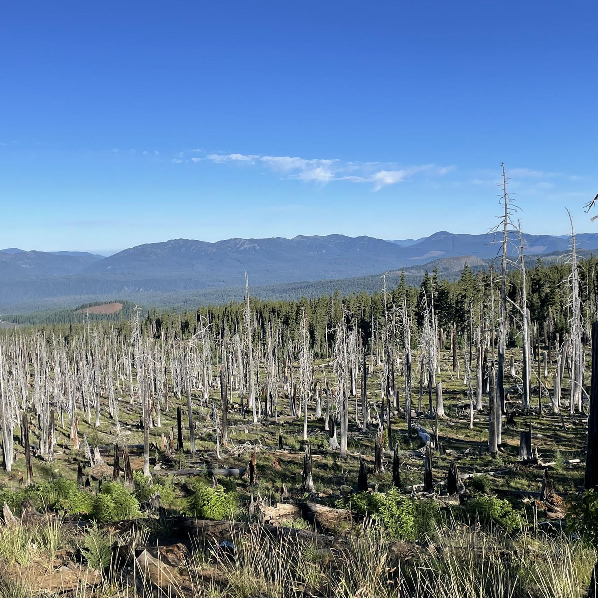
Road Cycling Routes in Mount Washington Wilderness

Road Cycling Routes around Albany

Road Cycling Routes around Millersburg

Road Cycling Routes in Bowers Rock State Park

Road Cycling Routes around Lebanon

Road Cycling Routes around Waterloo

Road Cycling Routes around South Lebanon

Road Cycling Routes around Sodaville

Pacific Crest Trail from Mexico to Canada – 4,200 kilometres of wilderness
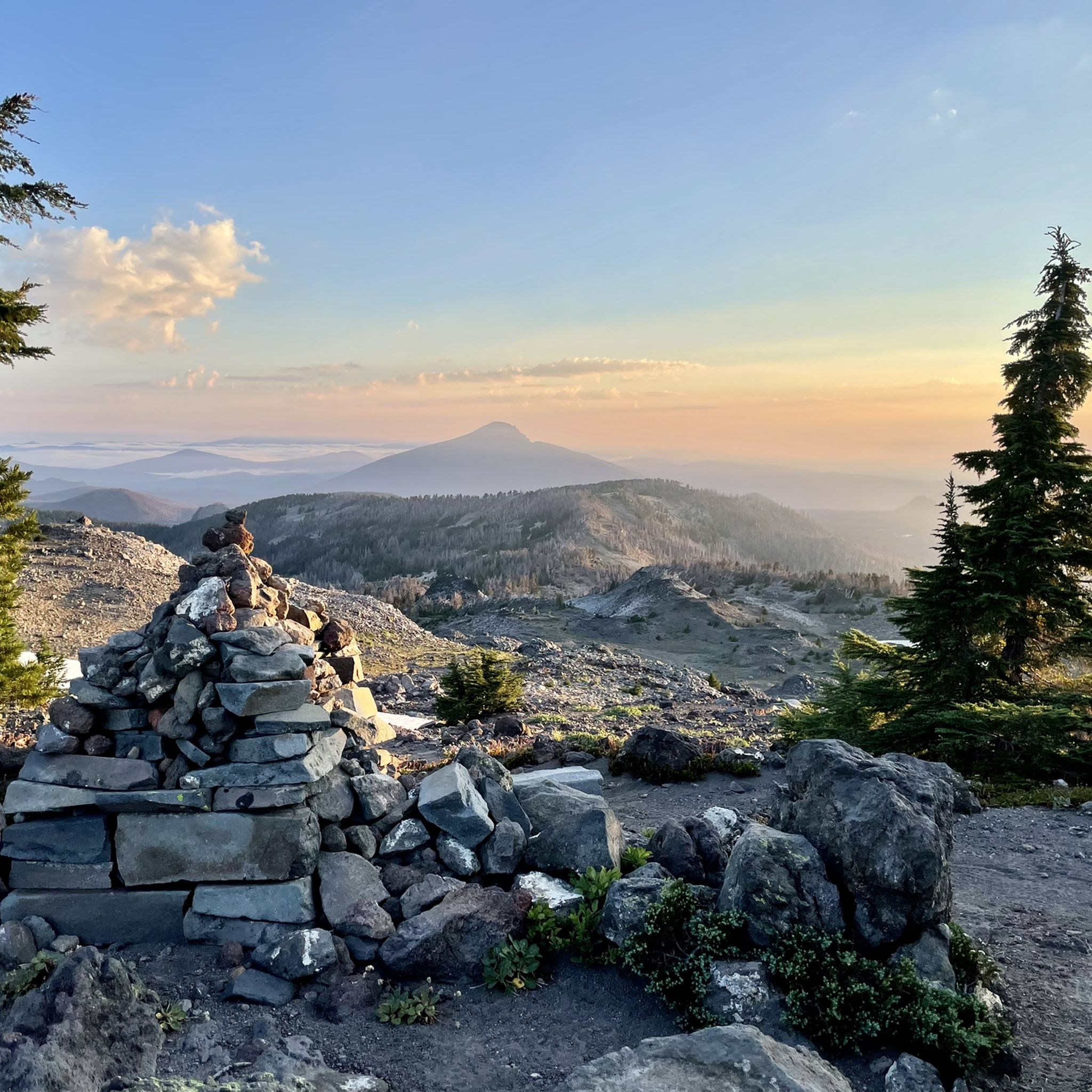
Hiking in Linn County
Other adventures in Linn County

Tips from the Community

The Corvallis-Philomath Multi-Modal Path is an almost 5-mile long trail that runs from Corvallis to Philomath. The trail is asphalt and is popular with hikers, joggers, and cyclists.
1
0
This spot in Shawala Point Park is the Eastern Terminus of the Corvallis-to-the-Sea Trail. The trail stretches more than 60 miles until it reaches the Pacific Ocean. There is no parking or restrooms at the trailhead, so make sure you come prepared.
0
0
The Riverfront Path is a 1.5 mile long trail that runs alongside the Willamette River. It is fully paved and flat, so it makes for an easy ride.
0
0

Sulphur Springs Road is the route to take up to Lewisburg Saddle, which is an intersection with parking and access to various trails. This road is open to bikes and cars.
0
0

The saddle has a parking lot with restrooms, and access to a handful of great easy riding trails through the woods.
0
0
The road is well paved and has decent shoulder for cyclists. You can access the Truax Island Greenway from here, which has space for two or three cars at the entrance.
1
0
The shaded, paved path takes you alongside the Willamette River to Monteith Park and circumvents some of the more industrial roads on the north side of Albany.
1
0
Frequently Asked Questions
How many road cycling routes are available in Linn County?
Linn County offers a wide selection of road cycling routes, with over 40 distinct tours available on komoot. These routes cater to various skill levels, from easy scenic rides to more challenging long-distance adventures.
What are some easy road cycling routes suitable for beginners or families in Linn County?
For an easier ride, consider the Avery Park – Botanical Pond and Fountains loop from Corvallis, which is 19.4 km long. Another great option is the Roadbike loop from South Lebanon, spanning 29.5 km, offering a pleasant ride through the local countryside.
Are there any challenging road cycling routes for experienced riders in Linn County?
Yes, experienced cyclists can tackle the Frohnmayer Bridge – Alton Baker Park loop from Oregon Travel Information. This difficult route covers 164.4 km with significant elevation changes, providing an extensive ride through varied landscapes.
What kind of landscapes can I expect to see while road cycling in Linn County?
Linn County's road cycling routes showcase diverse landscapes, from the rolling farmlands of the Willamette Valley to scenic paths along waterways like the South Santiam River. You'll also find routes that venture into rural areas, pass by lakes such as Cheadle Lake, and offer views towards the Cascade Mountains.
What are some notable landmarks or attractions I can see along road cycling routes in Linn County?
Many routes offer access to significant natural features. You might encounter the unique volcanic landscape around McKenzie Pass Summit & Dee Wright Observatory, or the stunning Sahalie Falls. The region is also known for its historic covered bridges, which are often incorporated into cycling tours.
What is the best time of year for road cycling in Linn County?
The Willamette Valley, where Linn County is located, generally offers pleasant cycling conditions from spring through fall. Summer is ideal for exploring higher elevations like Iron Mountain for wildflowers, while spring and fall provide cooler temperatures perfect for longer rides through farmlands and along rivers.
Are there any circular road cycling routes in Linn County?
Many of Linn County's road cycling routes are designed as loops, allowing you to start and finish at the same point. Examples include the Philomath – Bald Hill Barn loop from Corvallis and the Bike Path – Bald Hill Barn loop from Albany, both offering convenient circular journeys.
Where can I find parking for road cycling routes in Linn County?
Parking availability varies by route and starting point. For routes originating in towns like Corvallis, Albany, or Lebanon, public parking lots or designated trailheads are often available. For specific routes, checking the komoot tour details or local city/county parks websites is recommended.
What do other road cyclists enjoy most about road cycling in Linn County?
The area is highly rated by the komoot community, with an average score of 4.3 stars from over 30 reviews. Cyclists often praise the diverse terrain, from flat farm roads to rolling hills, and the scenic beauty of the Willamette Valley and its waterways.
Are there options for moderate-difficulty road cycling routes in Linn County?
Absolutely. For a substantial moderate ride, consider the Had Irvine Park Trailhead loop from Lebanon, which covers 83.3 km. Another great option is the Sulphur Springs Road Trailhead – Lewisburg Saddle loop from Corvallis, a 55.9 km route with varied elevation.
Can I find cafes or accommodation near the road cycling routes in Linn County?
Yes, towns like Corvallis, Albany, and Lebanon, which serve as starting points for many routes, offer a range of amenities including cafes, restaurants, and accommodation options. These towns are well-equipped to support cyclists before or after their rides. For more information on local services, you can visit the Albany Visitors Association website.
Most popular routes in Linn County
Most popular attractions in Linn County

Get inspired with the komoot mobile app


Didn’t find what you were looking for?
Check out more Road cycling routes throughout Linn County below and find the perfect route in your destination.
Explore more
Browse the best Road cycling routes in other regions.
