The best walks and hikes in Coos County
4.9
(33)
231
hikers
41
hikes
Hiking in Coos County offers diverse landscapes, from dramatic coastal scenery to lush inland forests and unique dune environments. The region is characterized by rugged cliffs, expansive beaches, and serene waterways, providing a variety of natural attractions for outdoor enthusiasts. Hikers can explore tidal wetlands, dense woodlands, and impressive waterfalls, with trails winding through varied ecosystems. This blend of Pacific coastline, estuarine reserves, and forested areas defines the hiking experience in this part of Oregon.
Best hiking trails in Coos County
- The most popular hiking route is John Dellenback Dunes Trail — Oregon Dunes National Recreation Area, a 5.1 miles (8.2 km) moderate trail that takes about 2 hours 8 minutes to complete. This path offers a mix of sandy dunes and forested areas within a unique ecosystem.
- Another top favourite among local hikers is Sunset Bay to Cape Arago State Park — Oregon Coast, a moderate 7.5 miles (12.1 km) path. This route follows the Oregon Coast, providing panoramic ocean views and access to coastal state parks.
- Local hikers also love the Simpson Reef Loop Trail — Cape Arago State Park, a 3.8 miles (6.1 km) trail leading through coastal bluffs and offering views of marine wildlife, often completed in about 1 hour 47 minutes.
- Hiking in Coos County is defined by dramatic coastal scenery, unique estuarine and dune environments, and lush forests with waterfalls. The network offers options for various ability levels, from easy walks to more challenging treks.
- The routes in Coos County are highly rated by the komoot community with an average score of 4.9 stars from over 20 reviews. More than 180 hikers have used komoot to explore Coos County's varied terrain.
Last updated: October 11, 2026
5.0
(2)
4
hikers
1.42km
00:22
10m
10m
The John Dellenback Dunes Trail #1339 offers a remarkable journey through diverse landscapes in a compact package. You'll begin in a dense conifer forest, quickly transitioning to the vast, rolling sand dunes that characterize the Oregon Coast, before finally reaching a secluded Pacific Ocean beach. This easy 0.9-mile (1.4 km) hike, with just 45 feet (14 metres) of elevation gain, provides a unique experience, though traversing the soft sand can make the 22-minute estimated duration feel like more of a workout.
Planning your visit requires a Northwest Forest Pass at the trailhead. If you're bringing a dog, be mindful of seasonal restrictions between March 15 and September 15 due to snowy plover nesting, which may limit beach access. Always pack water, sunscreen, and wear sturdy shoes to navigate the challenging soft sand effectively. This trail is a non-motorized zone, ensuring a peaceful hiking experience.
What makes this trail truly special is its rapid ecological transition, showcasing some of the largest temperate coastal sand dunes in the world. Unlike many other areas of the Oregon Dunes National Recreation Area, the John Dellenback Dunes Trail is reserved for foot traffic, offering a quieter opportunity to observe unique plant life and wildlife, including the threatened snowy plover. It's an excellent choice for photographers and nature lovers seeking a distinct coastal adventure.
1
hikers
3.45km
01:01
120m
80m
The Hidden Creek, Big Cedar, and Middle Creek Loop offers a delightful and easy 2.1-mile (3.5 km) hike through the diverse ecosystems of Oregon's South Slough National Estuarine Research Reserve. With just 388 feet (118 metres) of gentle elevation gain, this route takes about 1 hour and 1 minute, guiding you through lush Pacific Northwest forests, past verdant creek beds with skunk cabbage, and onto boardwalks leading to a marsh observation deck. You'll encounter dense woodlands with mossy stumps and footbridges, making it a perfect family-friendly adventure for wildlife spotting.
Planning your visit is straightforward, with parking available at the Reserve's lower lot, which connects directly to the Big Cedar Trail. Dogs are welcome on a leash, so feel free to bring your furry friend along. While generally easy, be prepared for potentially wet and muddy sections, especially on the Hidden Creek Trail, and some boardwalks can be slippery. This loop is accessible and enjoyable throughout the year, offering a refreshing escape into nature.
This trail combination provides a comprehensive look at the Reserve, which is notable as the first National Estuarine Research Reserve in the U.S., dedicated to preserving and studying estuary environments. The varied scenery, from old-growth trees and ferns to the estuarine views, makes it a unique experience that some describe as reminiscent of "Jurassic Park." It's an excellent choice for those seeking a high-reward, low-effort hike that showcases the region's natural beauty and offers opportunities for quiet immersion.

1
hikers
2.93km
00:47
20m
50m
If you're looking for a quick and easy outdoor escape, the Railroad and Tunnel Loop delivers a pleasant experience. This 1.8-mile (2.9 km) hiking route is rated easy, with a minimal 58 feet (18 metres) of elevation gain, making it a perfect choice for a relaxed stroll. You'll traverse a well-maintained path, enjoying the natural surroundings and catching glimpses of the tranquil South Slough Inlet, providing a refreshing break from the everyday.
Planning your visit to the Railroad and Tunnel Loop is simple, as it's an accessible trail suitable for most. While specific warnings are few, always check local weather conditions, especially if you're considering a visit during less predictable seasons. Parking is generally available at the trailhead, but arriving earlier in the day can help secure a spot during peak times. Remember to bring water, even for this short 46-minute estimated duration.
This trail stands out as a family-friendly option, offering an introduction to hiking for beginners or a gentle outing for those seeking a less strenuous adventure. Its easy difficulty and length make it an excellent choice for a casual walk, allowing you to connect with nature without a significant time commitment. The presence of the South Slough Inlet adds a unique natural highlight to this charming loop.
6.03km
01:42
80m
210m
The Simpson Reef Loop Trail offers a captivating journey through varied coastal terrain, from dense Sitka spruce forests to dramatic bluff edges. You'll be treated to sweeping views of the Pacific Ocean and rugged seaside cliffs, with the chance to descend to sandy sections of Simpson Beach. The highlight for many is the Simpson Reef Overlook, where you can observe thousands of seals and sea lions, making it a truly immersive wildlife experience.
This easy 3.7-mile (6.0 km) hiking loop, with a gentle 276 feet (84 metres) of elevation gain, typically takes about 1 hour and 42 minutes to complete. Located within Cape Arago State Park, the trailhead is easily accessible with parking. Be aware that coastal conditions can make paths wet and slick, so sturdy footwear is a good idea. It's a fantastic choice for families and beginner hikers looking for a rewarding outing.
The trail is part of the broader Oregon Coast Trail and offers unique opportunities to witness the vibrant marine ecosystem. Beyond the seals and sea lions, you might spot migrating gray whales during peak seasons. The area is also close to Shore Acres Gardens, providing an excellent opportunity to combine your hike with a visit to beautifully maintained botanical gardens.
1
hikers
687m
00:11
10m
10m
The Norton Gulch Path offers a delightful, easy stroll through a landscape where lush coastal forests meet dramatic ocean views. As you navigate the natural terrain, you'll encounter large roots and discover unique ridges and inlets along the Oregon coastline, with an optional spur leading to mossy rocks at Norton Gulch. This short 0.4-mile (0.7 km) hike, with only 32 feet (10 metres) of elevation gain, takes just about 11 minutes, making it a perfect quick nature fix.
Planning your visit is straightforward, as the trail is easily accessed from Sunset Bay State Park, where you'll find plenty of parking. This convenient starting point also allows you to connect to a wider network of hiking routes, extending your journey to nearby Shore Acres and Cape Arago State Parks if you're looking for more exploration.
This trail is a fantastic introduction to the rugged beauty of Coos County, known for its dramatic coastlines, iconic sea stacks, and dense forests. It's a family-friendly option that provides opportunities for wildlife observation and a chance to engage with the unique coastal environment, making it a notable natural feature in the area.
1.60km
00:24
0m
0m
Embark on the Black John and Red John Trail for an easy hike through the beautiful coastal environment of Bullards Beach State Park. This route offers a pleasant stroll where you can experience lush coastal vegetation and hear the sounds of the nearby ocean. It's a quick 1.0 mile (1.6 km) journey with a minimal elevation gain of just 7 feet (2 metres), taking approximately 24 minutes to complete.
When planning your visit, you'll find parking generally available within Bullards Beach State Park, making access to the trailhead straightforward. This easy and short route is perfect if you are a beginner or looking for a quick outdoor activity with your family. Always remember to check park signs for any specific local regulations or seasonal information before you go.
This trail is notable for incorporating sections of the larger Oregon Coast Trail, as well as its namesake Black John Trail and Red John Trail. It provides an ideal introduction to the natural features of the area, allowing you to immerse yourself in the unique coastal ecosystem without a strenuous effort.
1.89km
00:29
0m
10m
Start your hike from Bullards Beach Campground and follow the easy 1.2 miles (1.9 km) route towards the coast. You will experience a gentle journey, gaining only 8 feet (2 metres) in elevation, which typically takes about 28 minutes. The path meanders through peaceful lowland forests and open grassy fields before opening up to sandy dunes. As you approach the expansive Bullards Beach, you will catch glimpses of the Coquille River and soon see the historic Coquille River Lighthouse standing proudly in the distance. This short, accessible walk offers a refreshing escape to the Oregon coast.
Accessing this popular route is straightforward, as it begins directly from Bullards Beach Campground. You will find ample parking available right at the campground, making it very convenient to start your adventure. This trail is well-suited for a variety of activities beyond just hiking, including biking and even horseback riding. It offers direct and easy access from your campsite to the beautiful coastline, perfect for a quick morning stroll or an afternoon outing.
This trail is a highlight within Bullards Beach State Park, known for its direct connection to the vast 4.5-mile stretch of Bullards Beach. Beyond the scenic path through varied landscapes, you can enjoy excellent opportunities for birdwatching and observing other wildlife, especially near the Bandon Marsh National Wildlife Refuge. The historic Coquille River Lighthouse adds a touch of history and a picturesque backdrop to your coastal exploration.
538m
00:08
0m
0m
Step onto the Horsfall Beach trail and discover a captivating blend of coastal beauty and unique dune landscapes. This easy 0.3-mile (0.5 km) hike guides you across vast, wind-sculpted sand dunes and along a silky-soft sandy beach, offering serene views of the Pacific Ocean. With only 1 foot (0 metres) of elevation gain, it's a perfect, quick outing that takes just 8 minutes, ideal for a leisurely stroll and soaking in the dramatic scenery.
Planning your visit to Horsfall Beach is straightforward, as this accessible trail is suitable for all. While the broader area is popular with Off-Highway Vehicles, clearly marked sections ensure a peaceful experience for hikers. Parking is generally available, and the trail can be enjoyed year-round, making it a convenient stop for a dose of coastal air and expansive views.
Horsfall Beach stands out within the Oregon Dunes National Recreation Area for its unique convergence of forest, lake, and ocean environments, even on this short path. You might even spot a shipwreck or find sand dollars, adding an element of discovery to your walk. The area also boasts an ADA observation tower, ensuring impressive ocean and dune views are accessible to everyone.
5.0
(9)
46
hikers
8.22km
02:08
50m
50m
The John Dellenback Dunes Trail offers an incredible journey through one of Oregon's most distinctive landscapes, transitioning from a fragrant coastal forest of shore pine and spruce to vast, rolling sand dunes that stretch for miles. You'll navigate towering dunes, some over 200 feet high, before crossing a unique deflation plain and finally reaching a secluded Pacific Ocean beach. This moderate 5.1-mile (8.2 km) hike, with 153 feet (47 metres) of elevation gain, feels longer than its 2 hours and 7 minutes due to the effort of walking on soft, shifting sand.
Planning your visit requires a parking pass, such as the Northwest Forest Pass, which is needed at the trailhead. If you're hiking between March 15 and September 15, be mindful of Snowy Plover nesting restrictions; dogs are not permitted on the beach, and you must stay near the water's edge. Navigation can be challenging in the open dunes where wooden markers might be scarce, so be prepared to use the tallest dunes to orient yourself.
This trail is a gem within the Oregon Dunes National Recreation Area, offering a rare non-motorized experience in the widest expanse of the Umpqua Dunes, home to some of North America's tallest coastal sand dunes. It showcases a unique native ecosystem with specialized plants and wildlife that thrive in the moving sand environment, making it a truly special place for those seeking a quiet, immersive natural escape.
4.8
(4)
26
hikers
12.1km
03:12
130m
130m
Embark on a moderate hike from Sunset Bay to Cape Arago State Park, a 7.5 miles (12.1 km) journey that takes about 3 hours and 12 minutes to complete. You will gain 415 feet (127 metres) in elevation as you explore a diverse coastal landscape. The route winds through rugged bluffs, dense coastal forests, and stretches of sandy beach, offering dramatic ocean vistas. Keep an eye out for marine wildlife, including seals and sea lions, especially near the Simpson Reef Overlook where you can see Shell Island.
Prepare for some short, steep uphill sections along the way, and be aware that the trail can get muddy, so sturdy hiking shoes are a good idea. If you plan to bring your dog, they are welcome on the Oregon Coast Trail as it passes through Shore Acres State Park. However, remember to keep them on a leash no longer than six feet, and note that dogs are not allowed inside the formal gardens. Always check local conditions before you head out, especially after heavy rains.
This trail connects three distinct state parks: Sunset Bay, Shore Acres, and Cape Arago. As you hike, you will experience the unique transition between these protected areas, each offering its own character. The route provides excellent opportunities to observe the rich marine ecosystem of the Oregon Coast, from kelp forests visible offshore to the various marine mammals that frequent the area. It is a fantastic way to immerse yourself in the natural beauty and wildlife of this iconic coastline.
Get access to more routes and recommendations from other explorers.
Already have an account?
Our route recommendations are based on thousands of hikes, rides, and runs completed by other people on komoot.
Start today with a free account
Your next adventure awaits.
Popular around Coos County
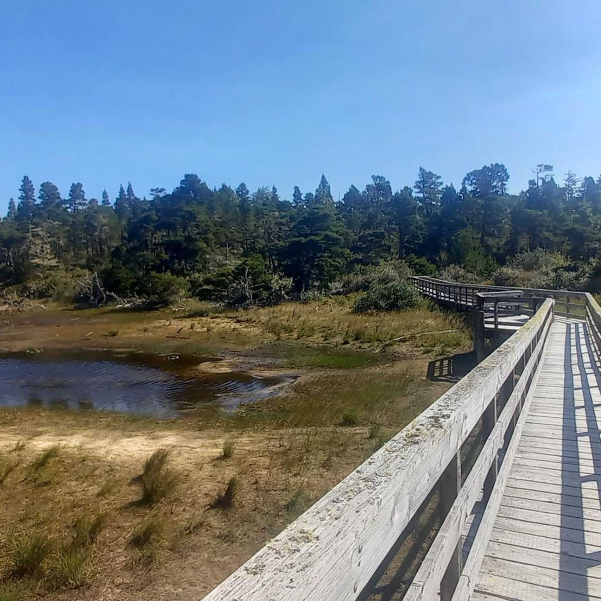
Hiking around Coos Bay

Hiking around Barview
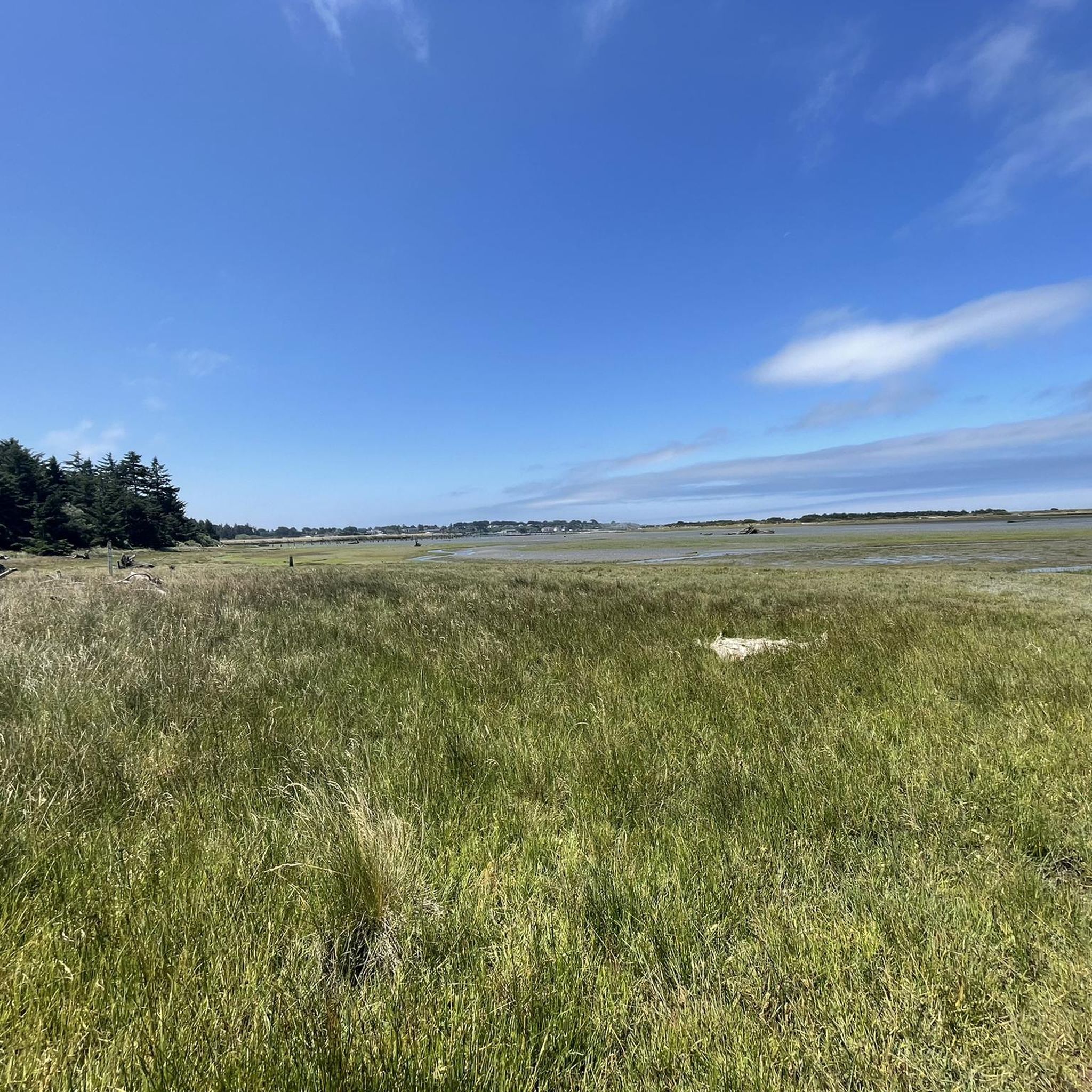
Hiking around Bandon
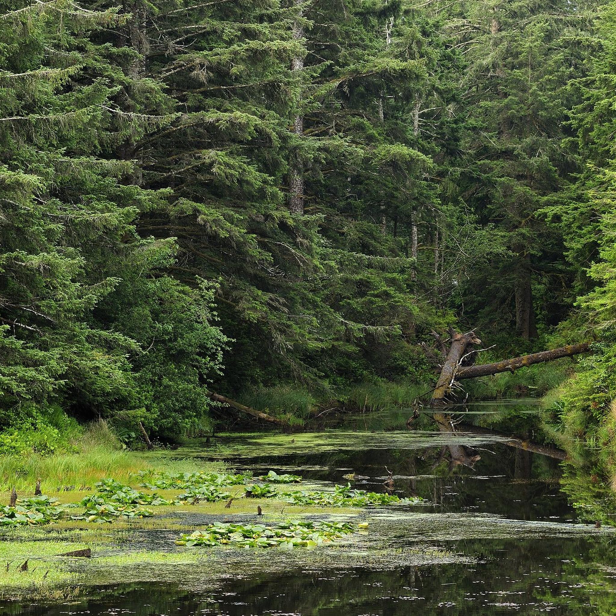
Hiking in Bandon State Park
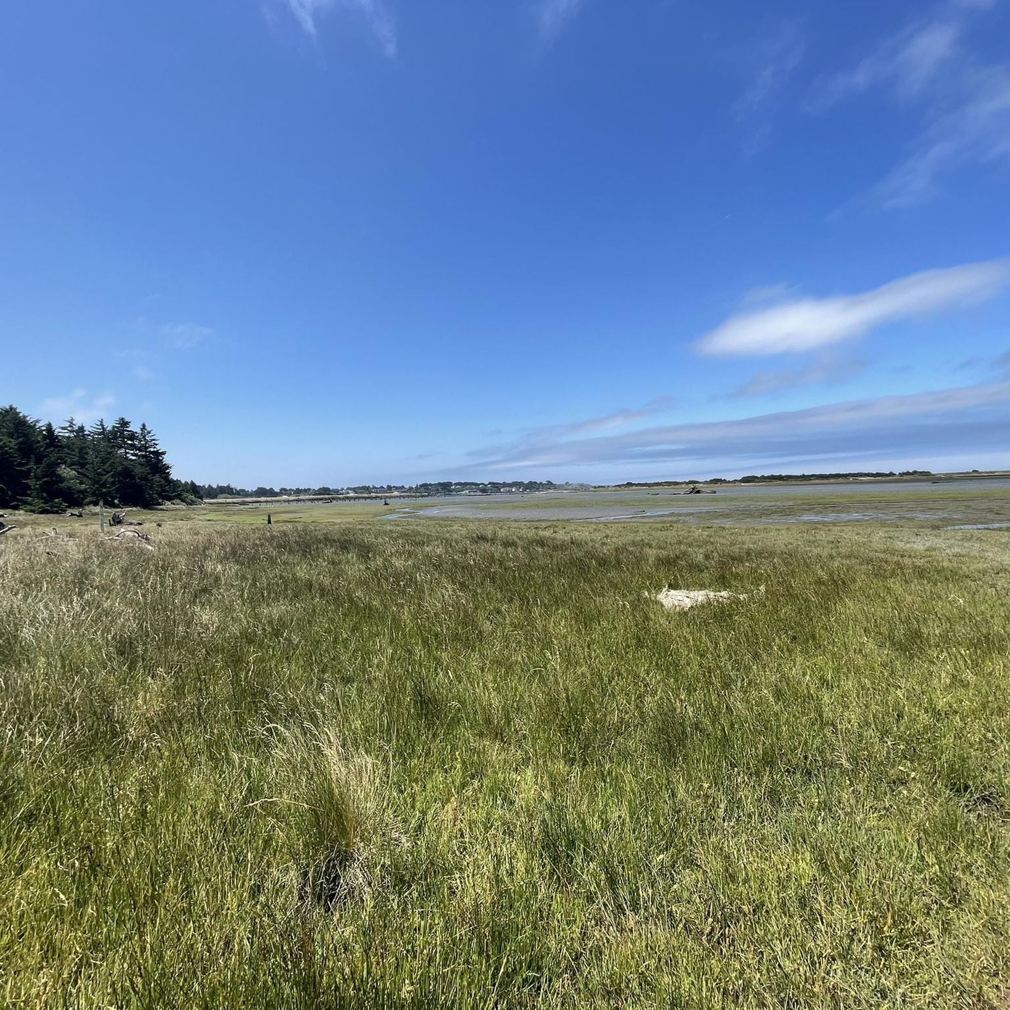
Hiking in Bandon Marsh National Wildlife Refuge

Hiking in Cape Arago State Park

Hiking in Yoakam Point State Park
Hiking in Sunset Bay State Park

Hiking in Bastendorff Beach County Park
Hiking in Shore Acres State Park
Other adventures in Coos County


Tips from the Community

The main activity is off-highway riding on the dunes. The Horsfall Beach Day Use OHV Staging Area is located here, providing access to off-highway adventures in the Bull Run dunes and beyond. Trails and open riding areas are located north of the campground. Enjoy incredible views of the Pacific Ocean from the campground's accessible beach platform.
0
0


From a conifer forest, this trail ventures through dunes to the ocean. Opt for a challenging beach run or an easy loop. Caution: the 2.7-mile dunes traverse may feel longer. Be mindful of changing conditions.
0
0
Cape Arago State Park, a coastal sanctuary, invites you to savor nature's grandeur. Perched atop the headland, witness the breathtaking panorama—Coquille Point to the south, Simpson Reef to the north—accompanied by the symphony of seals and sea lions below. Embrace the Pacific's vast expanse, perfect for whale-watching from thoughtfully placed picnic tables.
0
0
Discover the pristine Simpson Beach in Shore Acres State Park. Secluded and surrounded by pine forest, this gem is a tranquil escape within the expansive 745-acre coastal haven of beaches, sandstone bluffs, and rainforest in Oregon.
0
0
Vast tidal flats, marshes, and meandering channels in estuaries mitigate flooding. They enhance water quality by filtering sediment and pollutants. Beautiful places like the South Slough inlet of the Coos estuary offer work and recreation opportunities.
0
0
This region hosts half the central coast snowy plover population. Between March 15 and Sept. 15, beach areas are closed for breeding protection. Signs indicate permitted activities and open areas.
1
0
From a conifer forest, this trail ventures through dunes to the ocean. Opt for a challenging beach trek or an easy loop. Caution: the 2.7-mile dunes traverse may feel longer. Be mindful of changing conditions.
1
0
Frequently Asked Questions
How many hiking trails are available in Coos County?
Coos County offers a diverse network of over 30 hiking routes. These range from easy strolls to more challenging treks, ensuring options for various ability levels. The komoot community has explored these trails over 180 times, highlighting their popularity.
Are there easy, family-friendly hiking trails in Coos County?
Yes, Coos County has many easy and family-friendly options. Over 20 of the routes are rated as easy. For example, the Shore Acres State Park loop offers a gentle walk through beautiful gardens and along coastal cliffs. The South Slough National Estuarine Research Reserve loop is another easy option, perfect for observing diverse ecosystems and wildlife.
What kind of wildlife can I expect to see on hikes in Coos County?
Coos County's diverse landscapes support a variety of wildlife. Along the coast, especially near places like Cape Arago State Park and the Simpson Reef Overlook, you can often spot seals and sea lions. The South Slough National Estuarine Research Reserve is excellent for birdwatching and observing otters and other aquatic animals in its tidal wetlands and marshes.
Are there any circular hiking routes in Coos County?
Yes, several trails in Coos County are circular. The Simpson Reef Loop Trail in Cape Arago State Park is a popular easy loop offering views of marine wildlife. Another great option is the Storm Ranch Trail System loop in the New River Area, providing a different inland experience.
Where can I find trails with waterfalls in Coos County?
For impressive waterfalls, head to the Golden and Silver Falls State Natural Area. This hidden gem features two breathtaking waterfalls, each over 100 feet tall, with relatively easy trails leading through dense forest to reach them.
What do other hikers enjoy most about hiking in Coos County?
The trails in Coos County are highly rated by the komoot community, with an average score of 4.9 stars. Reviewers often praise the dramatic coastal scenery, the unique dune environments, and the lush forests. Many appreciate the variety of trails that cater to different skill levels, from easy walks to more challenging treks.
Are there any trails that offer views of lighthouses?
Yes, the Lighthouse Trail in Bullards Beach State Park provides excellent opportunities to see a lighthouse. This easy trail offers scenic views and is a great way to experience the coastal landscape.
Can I hike through sand dunes in Coos County?
Absolutely. Coos County is home to a significant portion of the Oregon Dunes National Recreation Area. The John Dellenback Dunes Trail offers a unique experience, winding through expansive sand dunes and forested areas within this distinctive ecosystem.
What are some notable natural attractions or landmarks to see while hiking?
Coos County is rich in natural landmarks. Along the coast, you can visit Face Rock State Park and Coquille Point for stunning rock formations and ocean views. Cape Arago State Park offers panoramic vistas and access to tide pools. Inland, the South Slough National Estuarine Research Reserve is a significant natural area for observing diverse ecosystems.
Are there trails that connect multiple state parks along the coast?
Yes, segments of the Oregon Coast Trail connect several state parks. For instance, the Sunset Bay to Cape Arago State Park route follows the Oregon Coast, providing panoramic ocean views and linking these beautiful coastal parks.
What kind of terrain can I expect on Coos County hiking trails?
Coos County offers highly varied terrain. You can hike along rugged coastal cliffs and expansive beaches, through unique sand dunes, or explore lush inland forests and tidal wetlands. This diversity means you can choose trails ranging from sandy paths to forest trails and coastal bluffs.
Are there any trails that offer a mix of beach and garden scenery?
Yes, the Simpson Beach and Simpson Reef to Shore Acres Gardens route within Shore Acres State Park provides a unique combination. You can walk along the beach and reef, then explore the beautifully manicured gardens set against the dramatic coastal cliffs.
Most popular attractions in Coos County

Get inspired with the komoot mobile app


Didn’t find what you were looking for?
Check out more Hikes throughout Coos County below and find the perfect route in your destination.
Explore more
Browse the best Hikes in other regions.
