The best running trails in Monterey County
4.7
(45)
3,381
runners
169
runs
Jogging in Monterey County offers diverse terrains, from sandy beaches to challenging hilly trails, catering to various fitness levels. The region features miles of scenic coastline, providing opportunities for runs with ocean views, alongside extensive networks of trails through forests and parks. Runners can explore rolling hills, woodlands, and dramatic coastal cliffs, with elevations ranging from near sea level to over 2,000 feet in some areas. This variety ensures a wide range of running experiences across the county's natural landscapes.
Best jogging routes in Monterey County
- The most popular jogging route is Ridge, Panorama, and Bluffs Trail Loop, an 8.2 miles (13.2 km) trail that takes 1 hour 46 minutes to complete. This difficult route offers significant elevation gain and expansive views.
- Another top favourite among local runners is Barn and Tulas Trail Loop, a moderate 4.2 miles (6.8 km) path. This route leads through Palo Corona Regional Park, providing inspiring views from Inspiration Point.
- Local runners also love the Asilomar Gazebo via Coast Trail, a 3.0 miles (4.8 km) trail leading through coastal landscapes, often completed in about 30 minutes.
- Jogging in Monterey County is defined by stunning coastlines, diverse forest trails, and challenging hilly paths. The extensive network of routes offers options for different ability levels, from easy coastal runs to more demanding climbs.
- The routes in Monterey County are highly rated by the komoot community with an average score of 4.7 stars from more than 40 reviews. More than 3000 runners have used komoot to explore Monterey County's varied terrain.
Last updated: October 10, 2026
38
runners
13.2km
01:47
370m
370m
Hard run. Very good fitness required. Mostly paved surfaces. Suitable for all skill levels.
22
runners
4.75km
00:30
30m
30m
Easy run. Great for any fitness level. Mostly paved surfaces. Suitable for all skill levels.

4
runners
6.83km
00:49
100m
100m
Moderate run. Good fitness required. Mostly paved surfaces. Suitable for all skill levels.
6.58km
00:46
200m
200m
Moderate run. Good fitness required. Mostly paved surfaces. Suitable for all skill levels.
4.5
(2)
225
runners
Moderate run. Good fitness required. Mostly paved surfaces. Suitable for all skill levels.
4.0
(1)
174
runners
9.62km
01:01
30m
30m
Moderate run. Good fitness required. Mostly paved surfaces. Suitable for all skill levels.
5.0
(1)
155
runners
13.4km
01:24
80m
80m
Moderate run. Good fitness required. Mostly paved surfaces. Suitable for all skill levels.
4.5
(2)
150
runners
Moderate run. Good fitness required. Mostly paved surfaces. Suitable for all skill levels.
5.0
(5)
349
runners
8.78km
00:55
50m
50m
Moderate run. Good fitness required. Mostly paved surfaces. Suitable for all skill levels.
4.7
(3)
102
runners
Moderate run. Good fitness required. Mostly paved surfaces. Suitable for all skill levels.
Get access to more routes and recommendations from other explorers.
Already have an account?
Our route recommendations are based on thousands of hikes, rides, and runs completed by other people on komoot.
Start today with a free account
Your next adventure awaits.
Popular around Monterey County
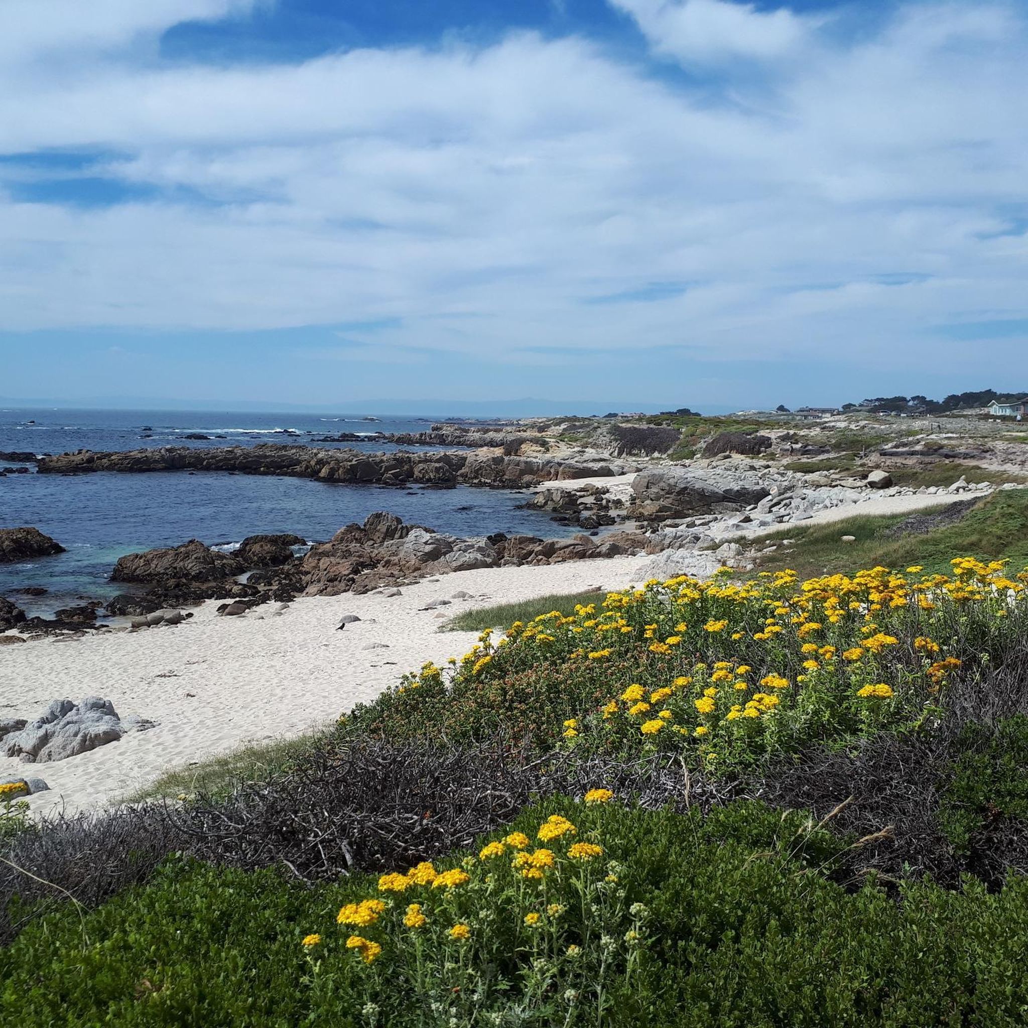
Running Trails around Pacific Grove
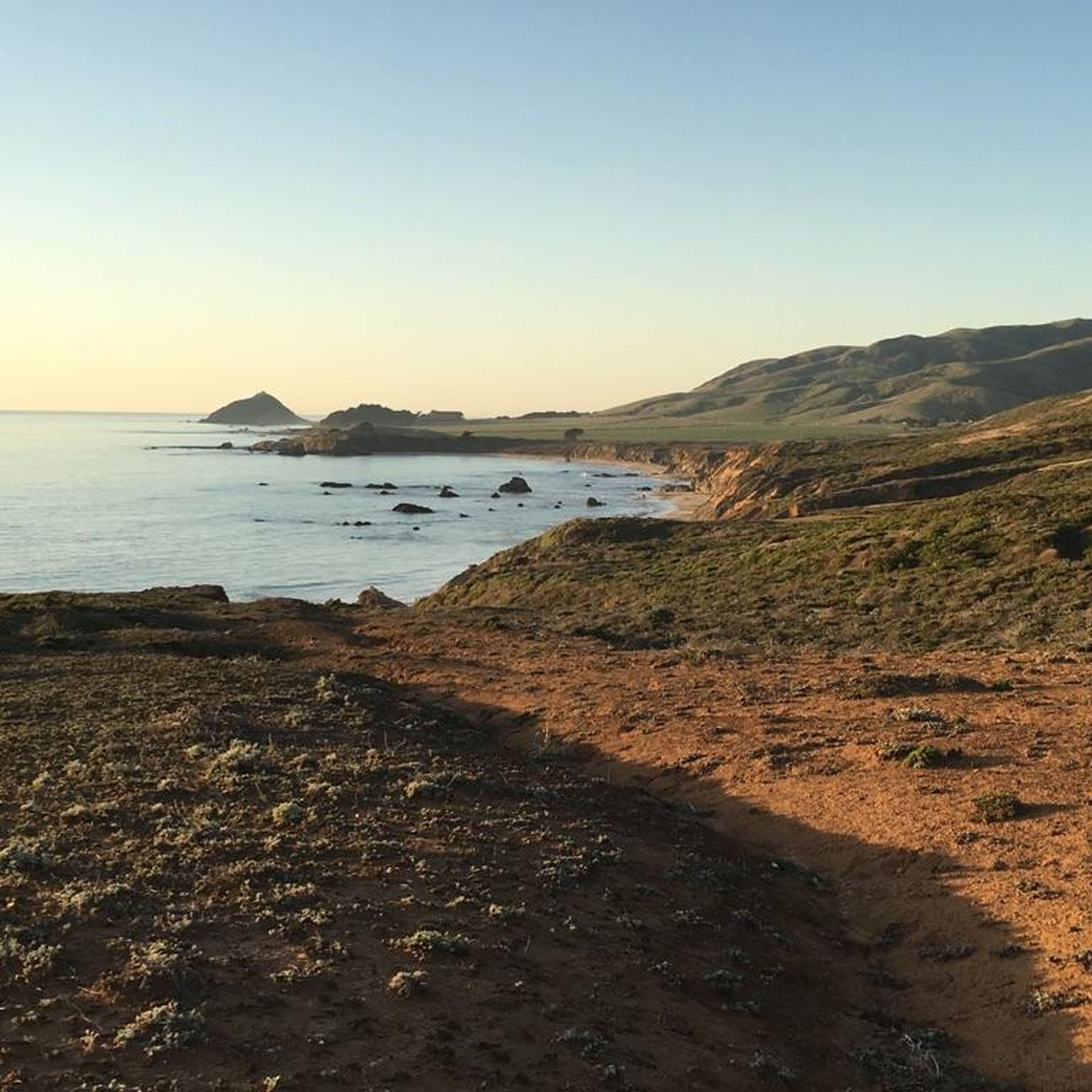
Running Trails in the Trish Hills
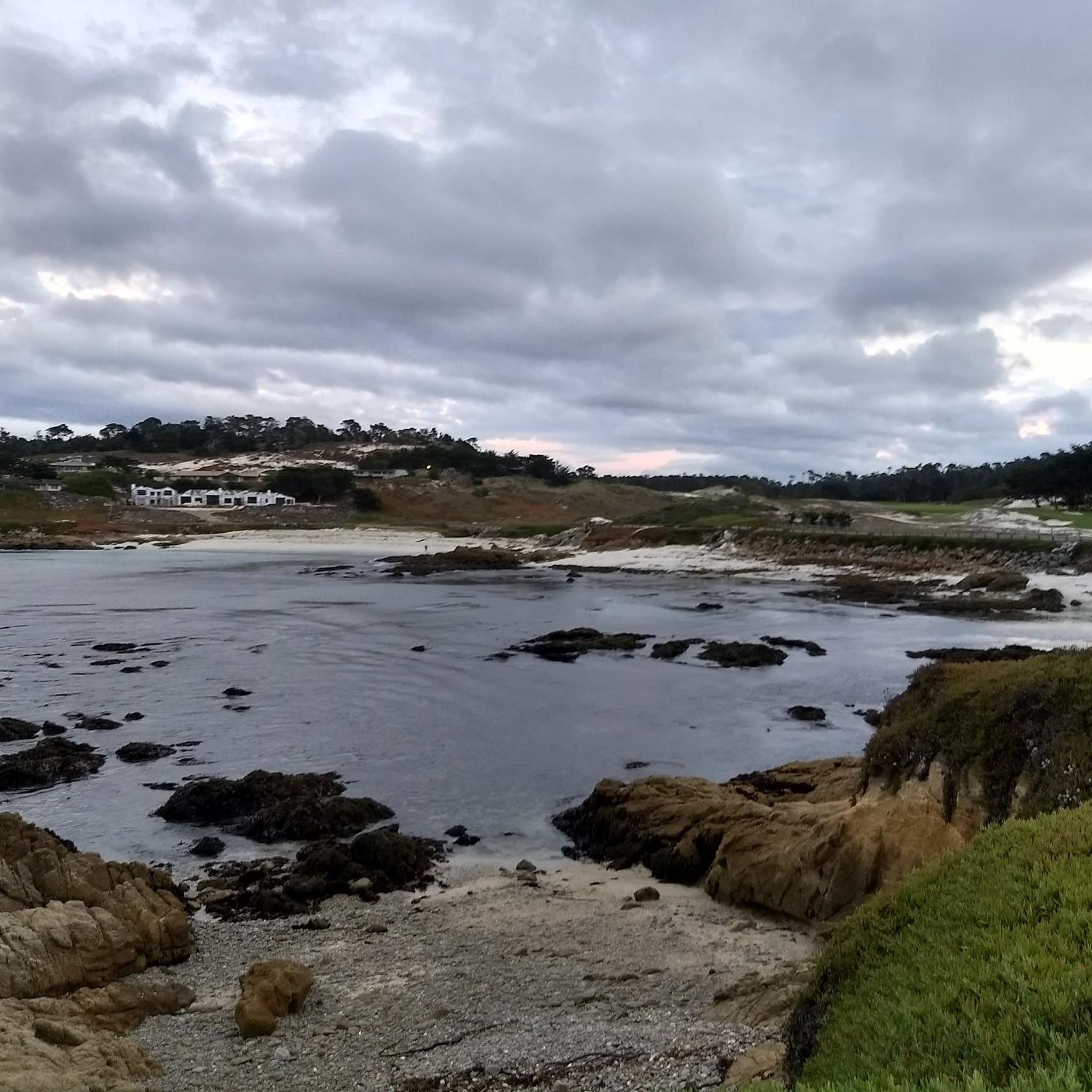
Running Trails around Del Monte Forest
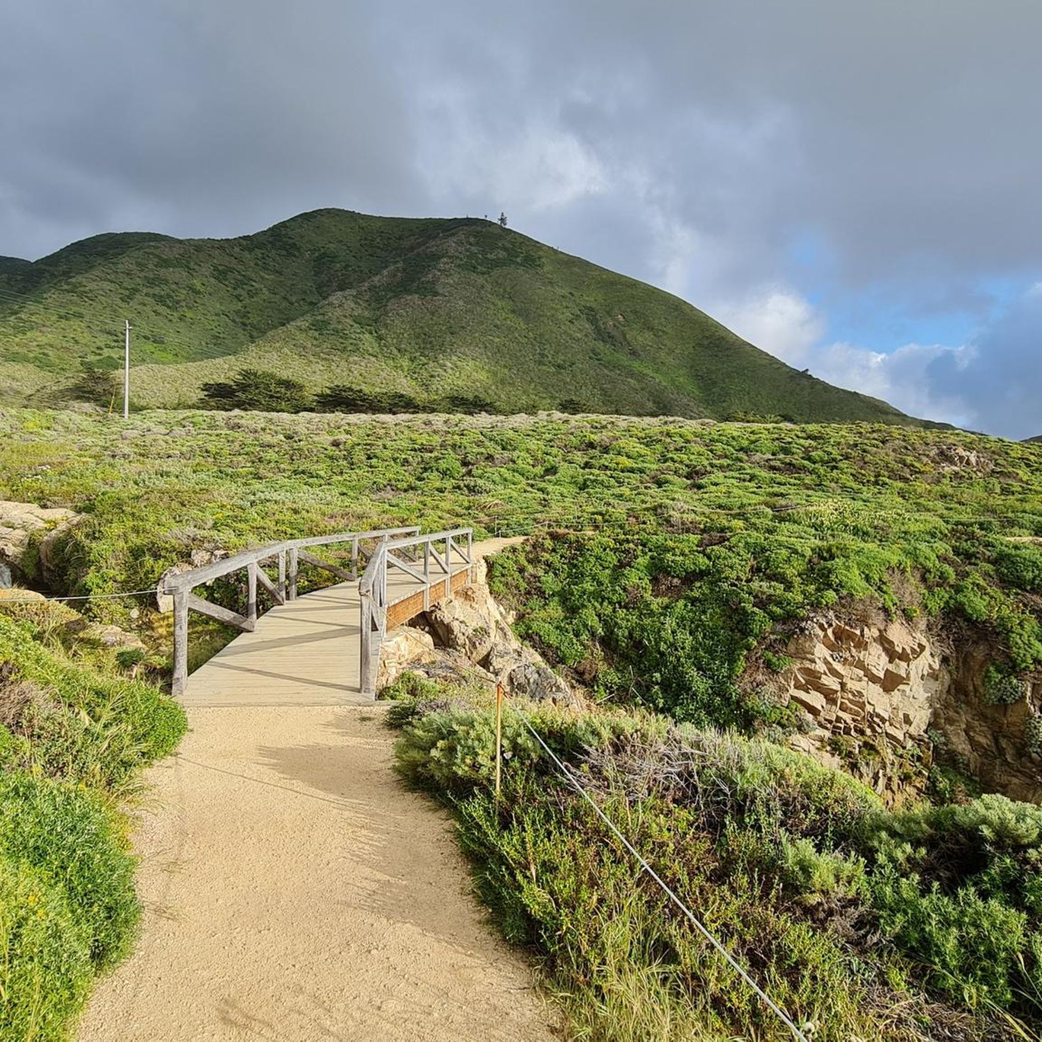
Running Trails in Garrapata State Park
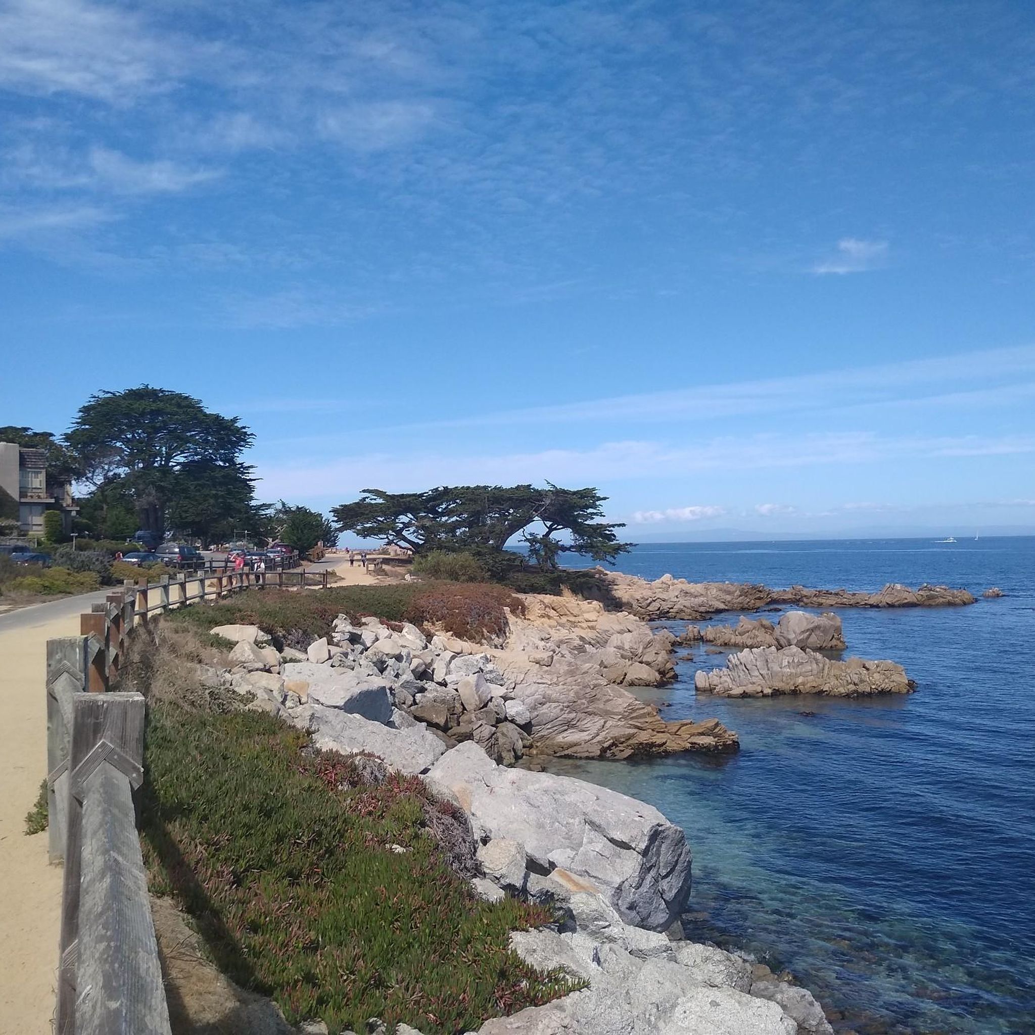
Running Trails around Monterey
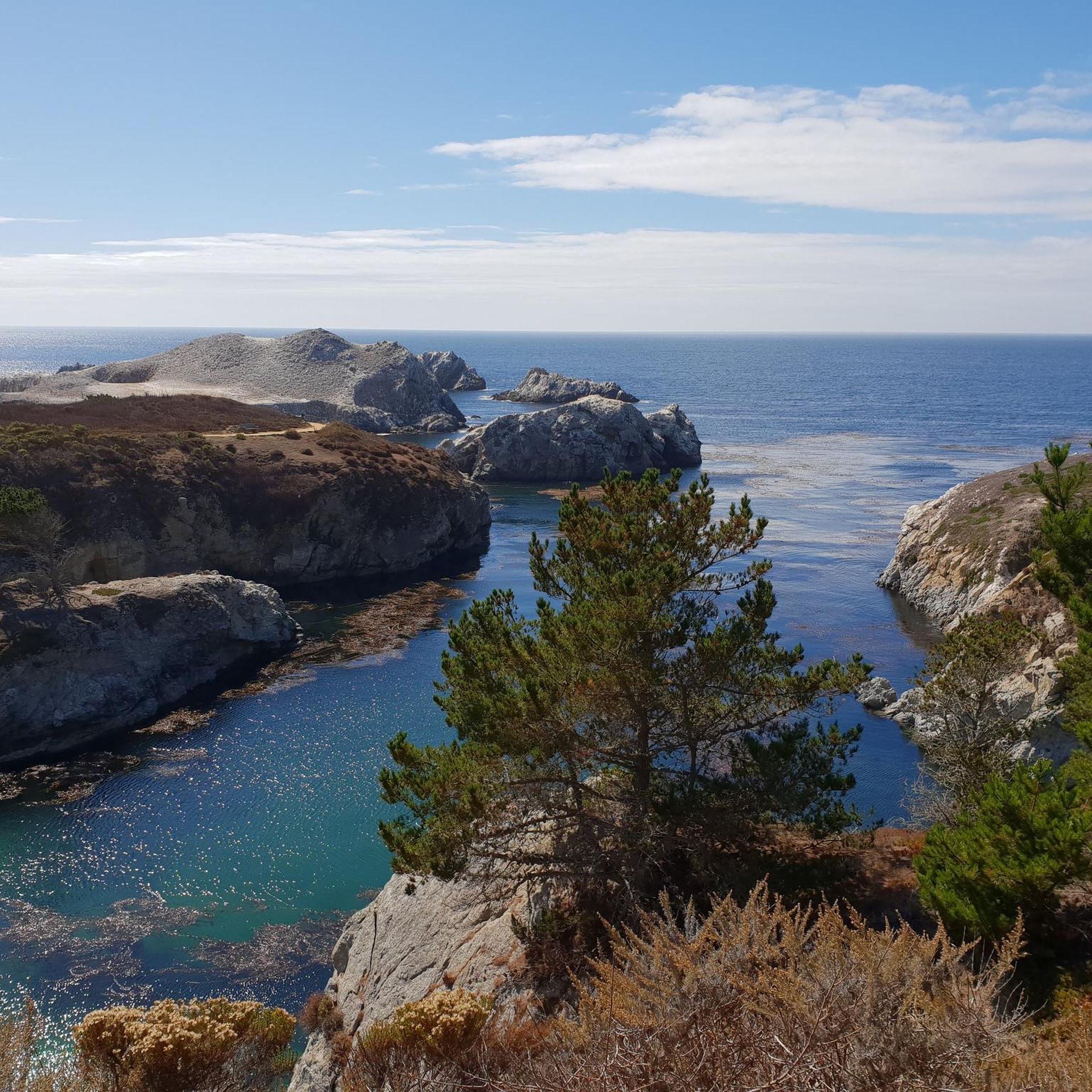
Running Trails in Palo Corona Regional Park
Running Trails around Del Rey Oaks
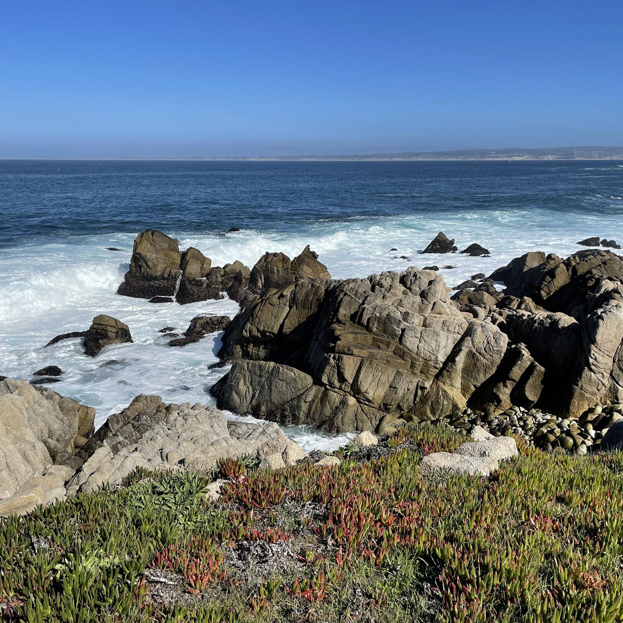
Running Trails around Sand City
Running Trails around Carmel-By-The-Sea

Running Trails in Fort Ord Dunes State Park
Other adventures in Monterey County


Tips from the Community


A lovely wharf you should see
0
0

Nice flat run on footpath to aquarium.
0
0


Fishwife, adjacent to the Beachcomber Motel, is steps away from Asilomar Beach. The restaurant serves fresh seafood with a Caribbean twist in a relaxed, beachside setting. It is a great place to stop for lunch, and while you're here, don't miss a chance to try a slice of their legendary homemade key lime pie!
0
0
Point Piños Lighthouse, the second oldest lighthouse on the California Pacific coast, is also the longest continually operating one. It was commissioned in February 1855 and has provided vital navigation assistance at the southern entrance to Monterey Bay, an area notorious for its dangerous rocks. This lighthouse is especially remarkable for having had two women serve as keepers throughout its history.
0
0

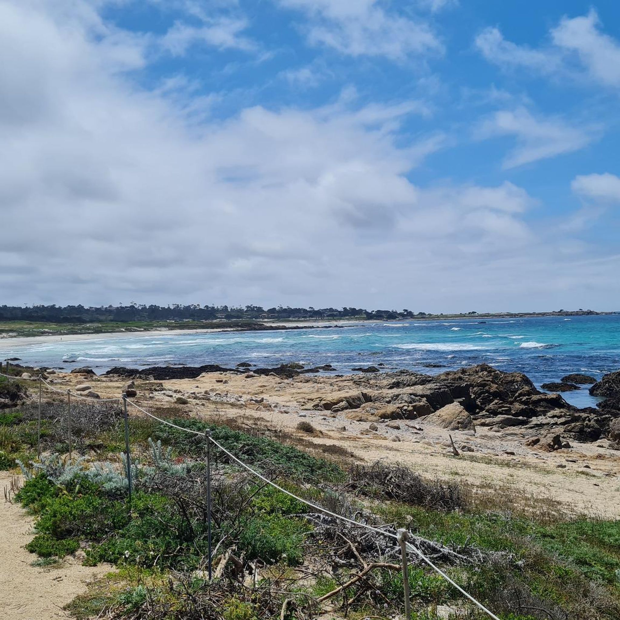
Asilomar State Beach is a small and narrow 1-mile strip of soft, sandy beach and rugged Pacific coastline.
0
0
Frequently Asked Questions
How many running routes are available in Monterey County?
Monterey County offers a wide variety of running experiences, with over 140 routes available. These range from easy coastal paths to challenging hilly trails, catering to all fitness levels.
Are there easy running trails for beginners in Monterey County?
Yes, there are approximately 25 easy running routes perfect for beginners or those looking for a relaxed jog. A great option is the Asilomar Gazebo via Coast Trail, a 3-mile path through coastal landscapes. The Monterey Bay Coastal Recreation Trail and routes within El Estero Park Complex also offer fairly flat and accessible options.
What are some challenging running routes in the area?
For experienced runners seeking a challenge, Monterey County has about 25 difficult routes. The Ridge, Panorama, and Bluffs Trail Loop is an 8.2-mile route with significant elevation gain and expansive views. Other challenging options include the Old Coast Road in Big Sur, offering over 2,000 feet of elevation gain, and the Carmel River State Beach – Seals at Point Lobos loop, which is a longer 27.7-mile route with substantial climbs.
Can I find dog-friendly jogging trails in Monterey County?
Many trails in Monterey County are dog-friendly, though leash laws and specific park regulations vary. Fort Ord National Monument, for example, offers 50 miles of trails through rolling hills and woodlands where dogs are generally welcome. Always check local park rules before heading out with your canine companion.
What kind of landscapes can I expect on running trails in Monterey County?
Monterey County boasts incredibly diverse landscapes for running. You can experience stunning coastlines and sandy beaches, such as the Pacific Grove coastline and Asilomar State Beach. Inland, trails wind through forests and parks like Jack's Peak County Park and Palo Corona Regional Park, offering views of Monterey Bay, coastal redwoods, and rolling hills. Big Sur provides rugged beauty with dramatic cliffs and ocean vistas.
Are there any circular running routes?
Yes, many running routes in Monterey County are designed as loops. Popular circular options include the Barn and Tulas Trail Loop in Palo Corona Regional Park and the Lower Ridge, Rhus, and Coffeeberry Loop. The Scenic Carmel Run is also a captivating 3-mile loop through Carmel's charming streets.
What are some notable landmarks or attractions I can see while jogging?
Many running routes in Monterey County pass by iconic landmarks and natural attractions. Along the Monterey Bay Coastal Recreation Trail, you can see the Monterey Bay Aquarium, Cannery Row, and Old Fisherman's Wharf. Other routes offer views of Sea Lion Point, Sand Hill Cove, and the famous Lone Cypress Tree along 17 Mile Drive. Point Lobos State Natural Reserve also offers breathtaking scenery.
How accessible are the running trails by public transport?
Accessibility by public transport varies across the region. The Monterey Bay Coastal Recreation Trail, for instance, runs through urban areas like Monterey and Pacific Grove, making sections of it relatively accessible via local bus services. For more remote trails in parks like Big Sur or Fort Ord, public transport options may be limited, and driving is often the most practical way to reach trailheads.
Is parking available at the trailheads?
Yes, parking is generally available at most major trailheads and parks throughout Monterey County. For example, Jack's Peak County Park, Fort Ord National Monument, and various access points along the Monterey Bay Coastal Recreation Trail offer designated parking areas. Some popular spots, especially on weekends, might have limited space, so arriving early is advisable.
What is the best time of year to go jogging in Monterey County?
Monterey County offers excellent jogging conditions year-round, but the best time often depends on your preference. Spring (March-May) and Fall (September-November) generally offer mild temperatures and less fog, making them ideal. Summer (June-August) can bring morning fog, especially along the coast, which often burns off by midday, providing cooler running conditions. Winter (December-February) is typically mild but can have more rain.
Are there any longer distance running options for experienced runners?
Absolutely. For those looking for longer distances, the Asilomar Gazebo – Asilomar State Beach loop offers a challenging 11.8-mile route. The Monterey Bay Coastal Recreation Trail itself spans 18 miles from Castroville to Pacific Grove, allowing for extended out-and-back runs. The Carmel River State Beach – Seals at Point Lobos loop is a significant 27.7-mile journey for ultra-runners.
What do other runners think about the trails in Monterey County?
The running trails in Monterey County are highly rated by the komoot community, with an average score of 4.7 stars from over 40 reviews. More than 3000 runners have explored the area using komoot. Reviewers often praise the stunning coastal views, the variety of terrain, and the well-maintained paths that offer diverse experiences from easy jogs to challenging climbs.
Are there any running routes suitable for families or strollers?
Yes, several routes are well-suited for families and strollers due to their flat, paved surfaces. The Monterey Bay Coastal Recreation Trail is an excellent choice, offering continuous waterfront views and passing by attractions like Dennis the Menace Park. The El Estero Park Complex also provides fairly flat and easy loops, ideal for a family outing.
Most popular routes in Monterey County
Most popular attractions in Monterey County

Get inspired with the komoot mobile app


Didn’t find what you were looking for?
Check out more Running Trails & Routes throughout Monterey County below and find the perfect route in your destination.
Explore more
Browse the best Running Trails & Routes in other regions.
