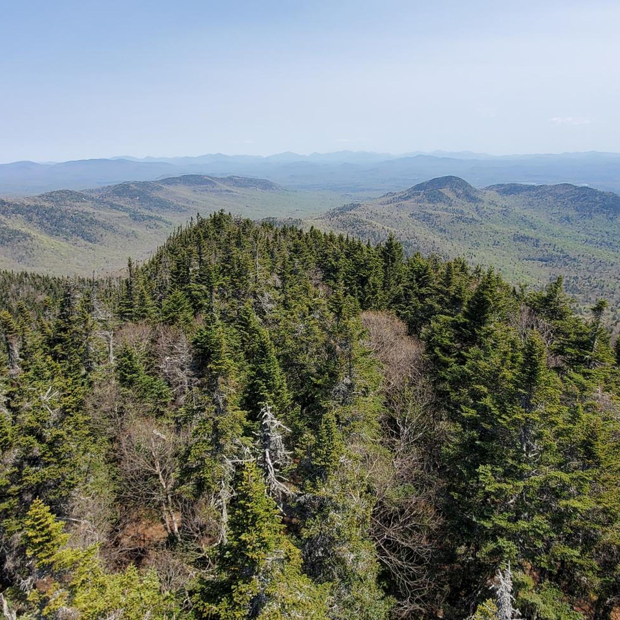
17
runners
14
runs
If you've ever tried to plan jogging in Hamilton County, you know how quickly the options can become overwhelming. With so many trails and paths, it's tough to tell which routes are genuinely worth your time and effort, and which are just filler. We get it – you want to hit the ground running on the best trails, not spend hours sifting through maps.
That's where komoot comes in. Our community has explored, mapped, and reviewed countless routes here, giving us a real insider's view. We've distilled that knowledge into a curated shortlist, saving you the guesswork and pointing you straight to the jogging routes in Hamilton County that truly deliver. Expect a landscape defined by extensive trail systems, diverse natural features, and plenty of water views from ponds and lakes. From easy paths to challenging routes with significant elevation, there's something for every runner.
If you only do one route, make it the Cascade Pond and Northville-Placid Trail Loop. At 8.5 miles (13.6 km), it offers a fantastic blend of pond views and sections of the well-known Northville-Placid Trail, making it a local favorite for good reason. For a more demanding run, the Owls Head Mountain Trail is a challenging 6.0 miles (9.7 km) with over 1,170 feet (350 m) of elevation gain, perfect for those seeking a mountain workout. Ready to explore? We've got more than 30 runners who agree these routes are worth your legs.
Last updated: May 10, 2026
3
runners
9.70km
01:23
360m
360m
The Owls Head Mountain Trail near Long Lake offers a classic Adirondack experience, starting with a pleasant jog through a full canopy hardwood forest. As you gain elevation, the trail becomes increasingly rugged, featuring exposed roots, rocks, and slab rock sections that demand careful foot placement. The highlight is undoubtedly the summit of Owls Head Mountain, where you can climb the fire tower for breathtaking 360-degree views of Long Lake and the surrounding peaks.
This difficult 6.0-mile (9.7 km) route involves 1171 feet (357 metres) of elevation gain and takes an estimated 1 hour and 23 minutes for jogging. While the initial miles are relatively flat and smooth, the latter half is steep and technical, making it better suited for experienced trail runners who enjoy a challenging ascent. Parking is available at the trailhead, but arriving early is advisable, especially during peak season, as this is a popular trail.
Part of the Hamilton County Fire Tower Challenge, this trail is a fantastic way to experience the Adirondack wilderness. The presence of boardwalks over wet areas and frequent stream crossings adds to the varied terrain. Remember to bring plenty of water and be prepared for changing conditions, as the weather in the mountains can shift quickly.
3
runners
6.24km
00:45
30m
30m
The Sagamore Lake Trail offers a delightful loop run around its namesake lake, providing a scenic and moderately challenging experience for joggers. As you navigate the 3.9-mile (6.2 km) route, which involves about 109 feet (33 metres) of elevation gain and takes roughly 45 minutes, you'll encounter a mix of grassy dirt roads, narrow footpaths, and single-track sections. The terrain is rolling with gentle slopes, winding through mature forests of both deciduous hardwoods and tight boreal conifers, all while offering continuous picturesque views of Sagamore Lake.
Planning your visit to the Sagamore Lake Trail is straightforward, as the route is well-maintained and easy to follow. While specific parking access details aren't explicitly noted, the trail is generally accessible. It's classified as moderate, suitable for individuals with good fitness, and is best enjoyed during warmer seasons for jogging, though it transforms into a popular spot for winter activities like Nordic skiing. Consider an early start to fully appreciate the natural features and avoid any potential crowds.
Beyond its natural beauty, the Sagamore Lake Trail is rich in history, tracing a portion of the historic carriage path once used by figures like William Durant and the Vanderbilts to reach the Great Camp Sagamore. Along the way, you'll pass notable landmarks such as the foundation of a sugarhouse and an overgrown toboggan run, offering glimpses into the area's past. The diverse plant life and opportunities for wildlife spotting, including loons on the lake, add to the trail's unique charm.

Sign up for free
2
runners
10.4km
01:18
140m
140m
If you're looking for a rewarding jog through the Adirondacks to a truly impressive natural feature, the OK Slip Falls Trail delivers. This moderate 6.5-mile (10.4 km) route, with 471 feet (144 metres) of elevation gain, guides you through a varied forest of red maples, white pines, and hemlocks, offering glimpses of lovely mosses and wildflowers. The highlight is undoubtedly OK Slip Falls itself, a stunning 200 to 250-foot waterfall that you'll view across a deep gorge, making the 1 hour and 17 minute effort well worth it.
Planning your visit is relatively straightforward, as no permits are required for this popular route. The trailhead is easily accessible, but arriving early is always a good strategy, especially during peak seasons, to ensure parking. While the main trail is well-maintained and suitable for jogging, be aware that an optional extension to the Hudson River involves a much steeper descent, which might break your stride. This trail is a great option for those seeking a significant waterfall experience without an overly technical or lengthy commitment.
What makes the OK Slip Falls Trail particularly special is its history; this magnificent waterfall was inaccessible to the public for over a century, only opening up for exploration in 2014. It's now a cherished part of the Hudson Gorge Wilderness Area, offering a unique opportunity to experience a previously hidden gem. Keep an eye out for various bird species and other wildlife as you traverse the diverse terrain, which includes sections of dirt road, forest trail, and bog bridging.
1
runners
6.26km
00:39
20m
20m
This Northville-Placid Trail section offers a quick immersion into the Adirondack's wild character, even if you're just out for a jog. You'll find yourself traversing varied terrain, often described as "flat-ish but not flat," meaning you'll encounter rolling hills and potentially rugged ground with roots and rocks, rather than long, sustained climbs. Keep an eye out for the serene Oxbow Lake Wetlands, a highlight that showcases the region's diverse water features and natural beauty.
For this moderate 3.9-mile (6.3 km) jogging route, which takes about 38 minutes with 72 feet (22 metres) of elevation gain, access is generally easy with parking available near the trailhead. While this specific section is manageable, be aware that the broader NPT is known for its remote nature and can feature muddy stretches, especially after rain. Always carry water and wear appropriate footwear for potentially uneven surfaces.
The Northville-Placid Trail holds historical significance as one of the oldest hiking trails in the United States, established by the Adirondack Mountain Club in 1922. Its allure lies in providing a deep immersion into the Adirondack wilderness, characterized by quiet backcountry lakes, forests, and wetlands. This route offers a small but authentic taste of the NPT's unique blend of remoteness and technical terrain.
10.1km
01:18
200m
200m
The Tirrell Pond Trail offers a serene jogging experience through the heart of the Adirondacks, leading you to the picturesque Tirrell Pond with its inviting sandy beach and views of Tirrell Mountain. You'll navigate varied terrain, from old logging roads to singletrack, with some sections being a bit mushy or brushy, adding to the wild feel of this 6.3-mile (10.1 km) route. It's a moderate jog that provides a genuine sense of escape into nature.
Planning your visit to the Tirrell Pond Trail is straightforward, though it's wise to prepare for varied trail conditions. The trailhead is shared with the popular Blue Mountain, so while the Tirrell Pond Trail itself is often quieter, arriving early can help secure parking. This route is best enjoyed when you're looking for a peaceful outing, as it tends to be less crowded than other trails in the area.
What makes this trail particularly interesting is its connection to the longer Northville-Placid Trail (NPT), with lean-tos and primitive tent sites available along the pond for those considering an overnight stay. This integration into a larger trail system, combined with its secluded feel and beautiful destination, makes it a hidden gem for a moderate 1 hour and 17 minute jog with 653 feet (199 metres) of elevation gain.
13.6km
01:38
160m
160m
The Cascade Pond and Northville-Placid Trail Loop offers a genuine taste of Adirondack wilderness, winding through mature northern hardwood forests that give way to towering white pines and hemlocks near Cascade Pond. Expect a varied path underfoot, with rolling hills, roots, and mud adding to the adventure, especially on the Northville-Placid Trail section. The reward is the serene Cascade Pond, providing picturesque views of the Blue Ridge and a tranquil spot to pause.
This moderate 8.5-mile (13.6 km) jogging loop, with 522 feet (159 metres) of elevation gain, typically takes around 1 hour and 38 minutes. Be prepared for a remote experience; cell service is unreliable, so download your maps beforehand. Parking is usually available at the trailhead, but arriving early is a good idea, particularly during peak seasons.
Connecting to the historic Northville-Placid Trail, this route immerses you in the Adirondack Forest Preserve's remote feel, far from the crowds. You'll find a true sense of solitude here, with chances to spot wildlife like otters and loons, making it a standout for those seeking a deep immersion in nature.
12.9km
01:38
200m
200m
The Northville-Placid Trail offers a distinctive jogging experience through the wild heart of the Adirondacks. You'll navigate varied terrain, from dense forests to areas transformed by beaver activity, creating new ponds and open views. Expect a path rich with roots and rocks, providing a true wilderness feel as you pass by landmarks like Long Lake, making it ideal for those who enjoy a rugged, natural run.
Planning your visit means preparing for the trail's unimproved conditions, including potential mud and technical sections. While specific parking details aren't always prominent, trailheads typically offer access; arriving early is a good strategy. Be mindful of the season, as biting insects like black flies can be a major deterrent from May to June, so consider a different time or bring strong repellent.
This historic footpath, established in 1922, is one of the oldest long-distance trails in the United States, traversing designated Wilderness Areas. It's well-marked with blue DEC trail markers and provides access to some of the most remote parts of the Adirondack Park. While this specific route is a moderate 8.0-mile (12.9 km) jog with 668 feet (204 metres) of climbing, taking about 1 hour and 37 minutes, the full NPT stretches over 135 miles, offering a continuous wilderness journey for those seeking longer adventures.
7.22km
00:53
70m
70m
If you're looking for a pleasant and accessible jog, the Beaver Lake trail run offers a delightful experience. You'll find yourself moving through a mix of woodlands and open meadows, often with expansive views of Beaver Lake itself. Some parts of the route might even hug the shoreline, providing continuous water vistas and a refreshing breeze, making it a scenic escape for a quick workout.
This moderate 4.5-mile (7.2 km) route, with a gentle 228 feet (69 metres) of elevation gain, can be completed in about 53 minutes. While specific parking details can vary depending on your exact starting point, trails around Beaver Lake are typically well-serviced. It's always a good idea to check local conditions before you go, especially for weather, but generally, this trail is suitable for year-round enjoyment.
Beaver Lake trails are known for their variety, offering everything from easy, flat paths to more challenging routes. This particular run provides a balanced experience, suitable for beginner trail runners or those seeking a consistent pace. The area is often rich in biodiversity, with opportunities for bird and plant observation, adding an extra layer of enjoyment to your jogging experience.
6.84km
00:56
230m
230m
The Puffer Pond Trail in the Adirondacks offers a genuine wilderness jogging experience, guiding you through varied terrain from mixed forests to wetlands. You'll navigate stream crossings and moderate to steep climbs, all leading to the tranquil Puffer Pond, where you can soak in lush Adirondack landscapes and catch glimpses of surrounding mountains and Kings Flow. It's a 4.3-mile (6.8 km) route with 748 feet (228 metres) of elevation gain, making it a moderate challenge that takes about 56 minutes to complete.
Planning your visit means preparing for a rugged outing; this trail is best for joggers with some experience. Be ready for potentially wet sections and significant ascents. The area is part of the Siamese Ponds Wilderness, so expect a backcountry feel, and remember that wildlife, including black bears, are residents here.
This trail is notable for its immersive wilderness feel and opportunities for solitude, setting it apart from more manicured routes. The presence of two lean-tos on the north shore of Puffer Pond also makes it a popular destination for backpackers, adding to the remote atmosphere. It's an excellent spot for wildlife observation and fishing for bullhead and brook trout.
2.43km
00:23
150m
150m
The Echo Cliff Trail offers a vigorous jog through a changing forest landscape, culminating in extraordinary panoramic views. You'll start on a well-worn singletrack through mixed hardwoods, gradually transitioning to conifers as the path steepens. Expect varied terrain underfoot, including loose stones, exposed bedrock, and tree roots, with some sections near the summit requiring careful footing or even a scramble. The highlight is undoubtedly the open rock ledges of Echo Cliffs, providing expansive, tree-free vistas across Piseco Lake and the surrounding Adirondack hills, including Spy Lake and the Silver Lake Wilderness Area.
This moderate 1.5-mile (2.4 km) route, with its 498 feet (152 metres) of elevation gain, can be completed in about 23 minutes, making it a perfect option for a quick, intense workout. The trail is popular, so while parking at the Panther Mountain Trailhead is generally available due to the short duration, consider an early start on pleasant days. Fall offers particularly stunning foliage, but be prepared for potentially icy conditions in winter, where microspikes might be useful on the steeper sections.
What truly sets the Echo Cliff Trail apart is its significant reward for a relatively short trek. It's a local favorite, renowned for delivering extraordinary views of Piseco Lake and the southern Adirondacks from its cliff-top overlook. This combination of a demanding incline and spectacular scenery makes it an excellent choice for those seeking a memorable, high-payoff outing without committing to a full-day adventure. It's a great way to experience the beauty of the Adirondacks in a concentrated burst.
Get access to more routes and recommendations from other explorers.
Sign up for free
Already have an account?
Our route recommendations are based on thousands of hikes, rides, and runs completed by other people on komoot.
Start today with a free account
Your next adventure awaits.
Login or Signup
Popular around Hamilton County
Running Trails in West Canada Lake Wilderness
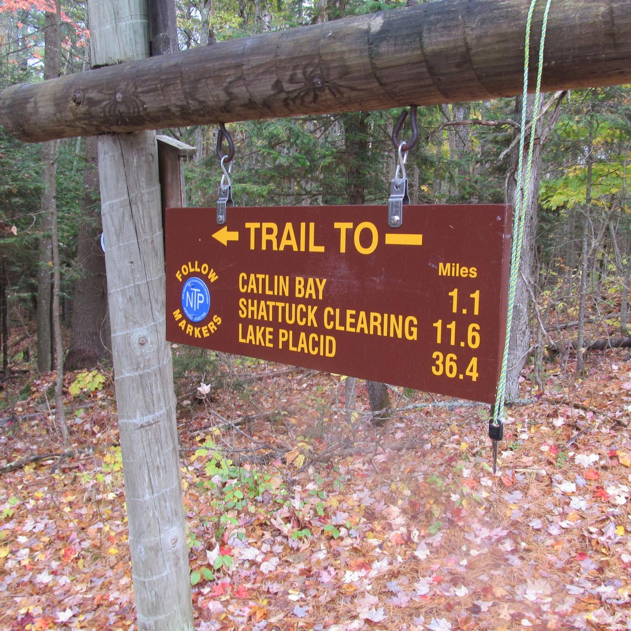
Running Trails around Long Lake
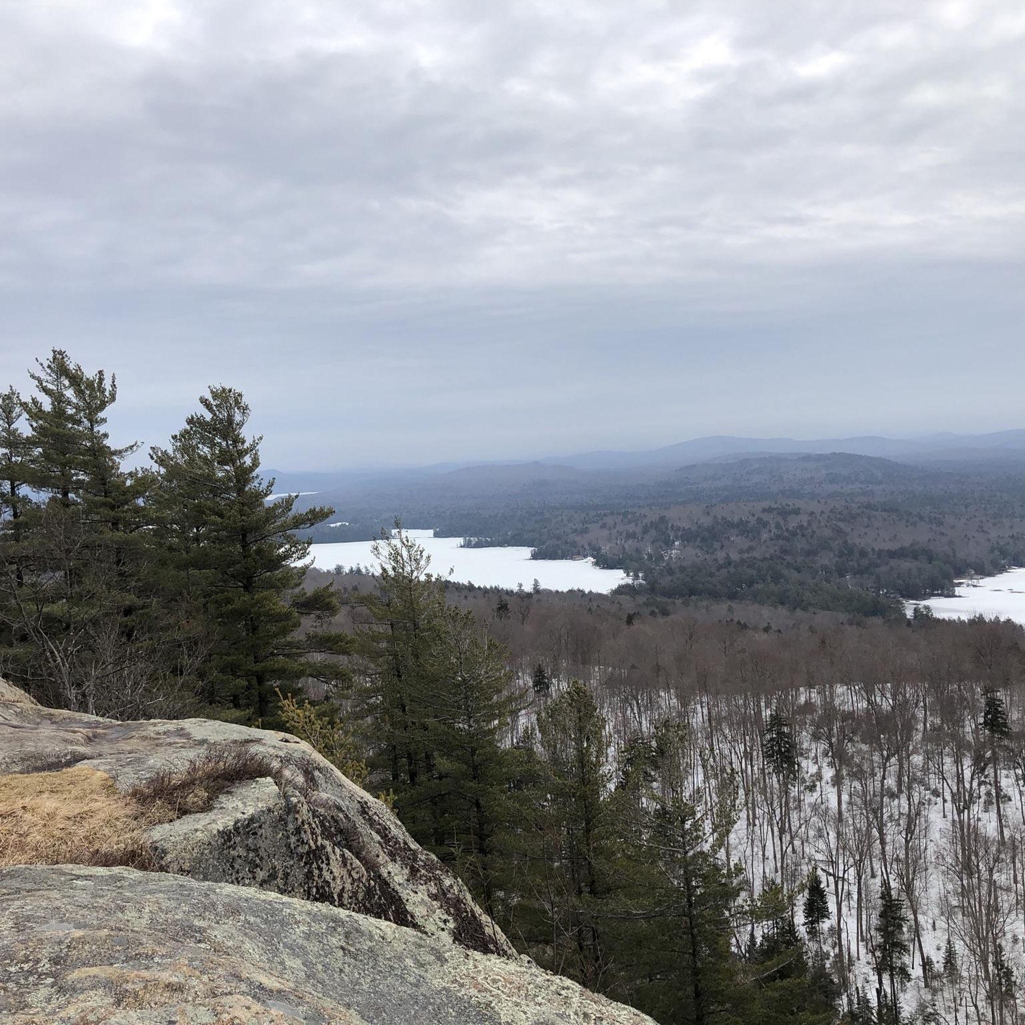
Running Trails in Pigeon Lake Wilderness
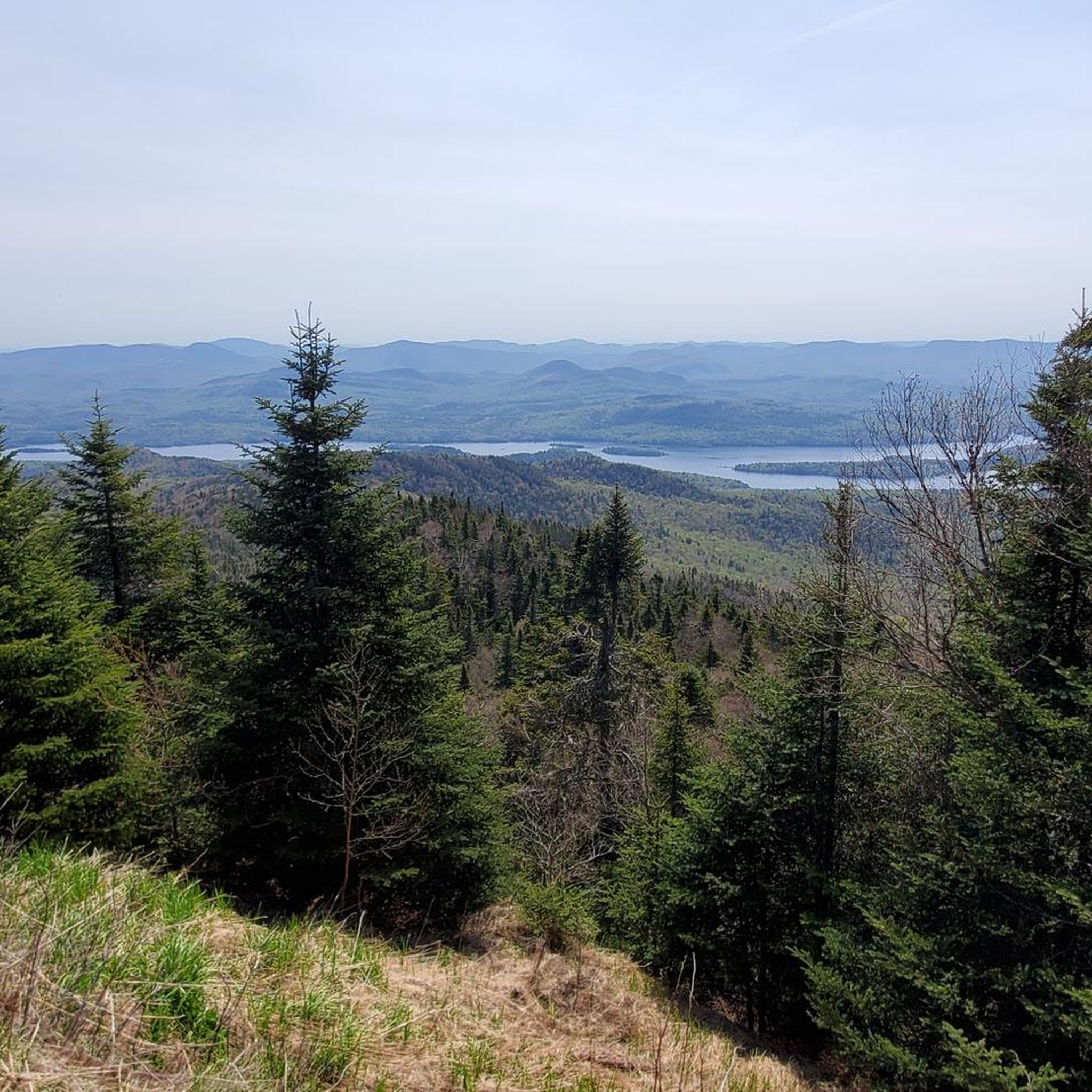
Running Trails in Blue Ridge Wilderness

Running Trails in Silver Lake Wilderness
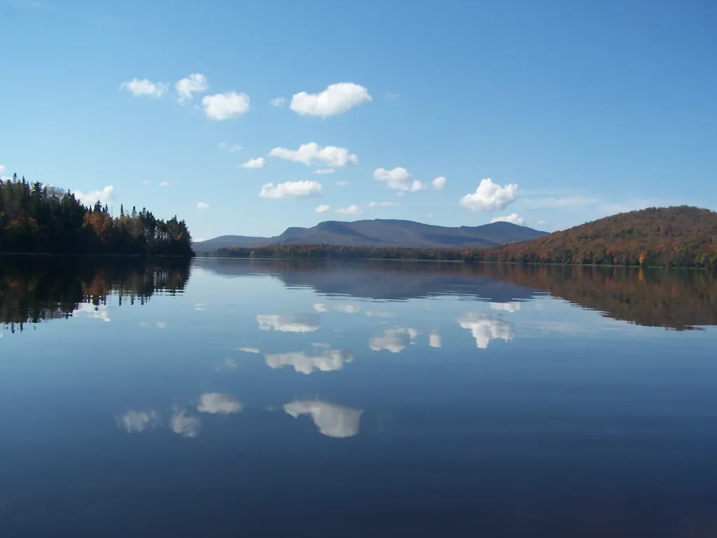
Northville-Placid Trail — A walk through Adirondack Park
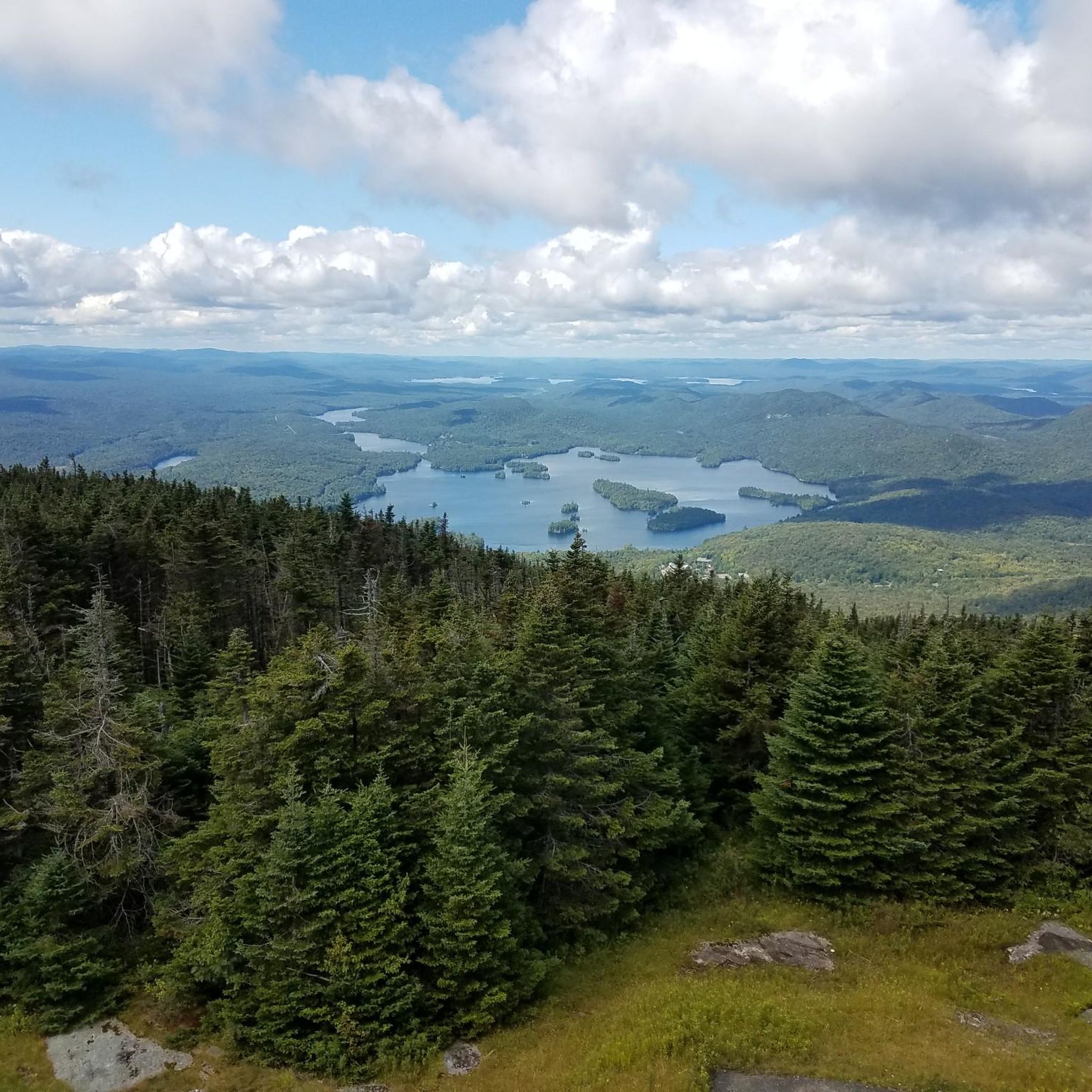
Hiking in Hamilton County
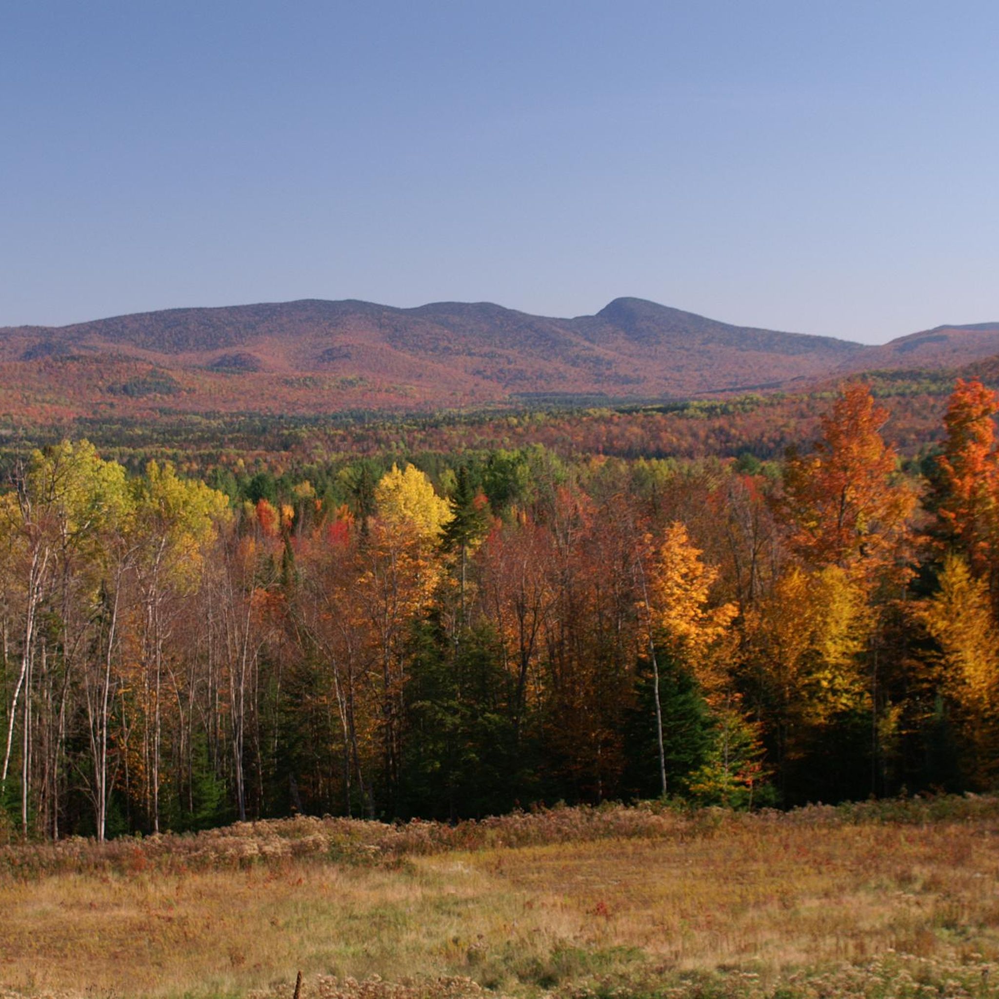
Road Cycling Routes in Hamilton County
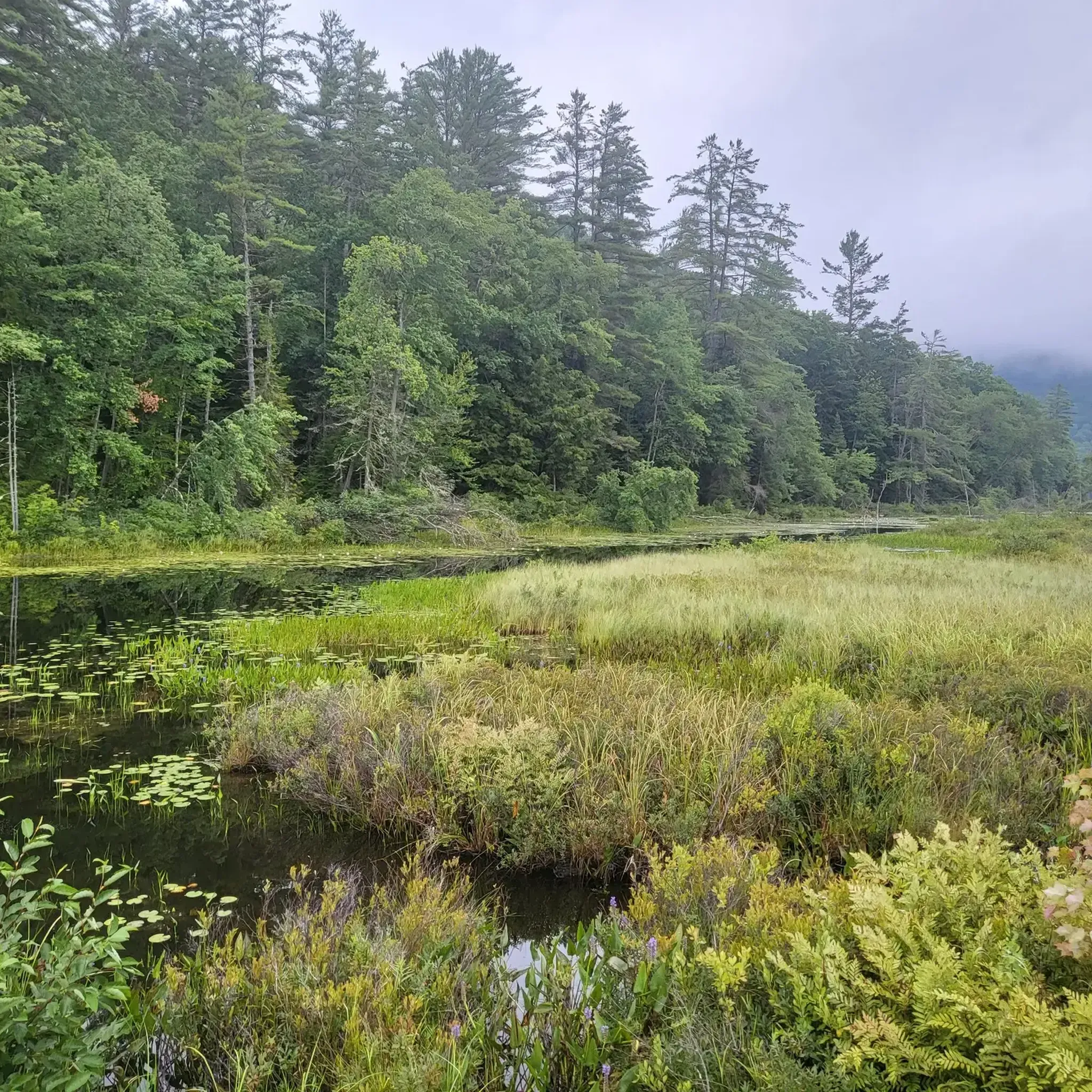
Cycling in Hamilton County
Oxbow Lake is a beautiful lake with an occupied eastern shore, and a western shore that consists entirely of state land. Oxbow Mountain, which sits to the west, adds to the lake's visual appeal.
0
0
Oxbow Lake is a beautiful lake with an occupied eastern shore, and a western shore that consists entirely of state land. Oxbow Mountain, which sits to the west adds to the lake's visual appeal. It is a nice sight as you run along Old Piseco Road.
0
0
This small, public-use airport is right off the Old Piseco Road section of the Northville Placid Trail. There is also a recently restored cross-country ski path, the Foxy Brown Trail, starting behind its runway.
0
0
This trailhead starts a short but inclined climb towards Echo Cliff (also known as Panther Mountain). The varied terrain makes for an interesting run, there are some rock stairs and nice forest views along the way. Just watch your footing since there are some sections of the trail with a lot of loose rock and roots.
0
0
This is one of the Adirondacks' highest waterfalls and a really cool sight when it is full. The trail is a nice, cleared path that takes you through diverse forest with plenty of wildlife. It is mostly packed terrain, so it is good for a trail run, but watch out for roots and brush in some spots.
0
0
Puffer Pond Trail runs south of Chimney Mountain and starts a nice run through an attractive forest. The terrain is flat and runs along the shore of a wetland area. Not long after the wetland, the trail begins to climb moderately and then descends to the Shore of Puffer Pond where you will find a lean-to. At this point you can turn around, or take a right to follow Puffer Pond Brook and Kings Flow on an old carriage road that finishes off a nice loop.
0
0
This small bridge on the Cascade Pond Trail runs between Rock Pond and Lake Durant. You can catch some nice views of both, but watch your footing as you cross!
0
0
This lake is a very special corner for fishing in the area. The mountain views at the foot of the calm waters of the lake are very beautiful. If you are a fishing lover looking for bass, tiger muskellunge, brown bullhead and yellow perch, this is your place. You can even do ice fishing.
0
0
Hamilton County offers a wide selection of running routes. According to komoot, there are over 15 routes available for you to explore, catering to various preferences and fitness levels.
Running routes in Hamilton County feature diverse terrain. You'll find everything from wooded trails and wetlands to prairies, as well as paths alongside rivers and lakes. This variety provides different surfaces and environments for your runs, from flat, paved sections to more natural, uneven ground.
Yes, for those seeking a more challenging run, Hamilton County has routes with notable elevation changes. For instance, the Owls Head Mountain Trail is a difficult 6.0-mile path featuring an elevation gain of over 350 meters, providing a strenuous workout through mountain terrain.
Absolutely! Hamilton County offers several routes with beautiful water features. The OK Slip Falls Trail leads to the impressive OK Slip Falls, a significant natural attraction. Additionally, you can enjoy scenic views of Morse Reservoir along the Morse Park and Levee Trail, or explore trails around the 175-acre lake at Winton Woods.
Yes, Hamilton County has several excellent loop trails. A popular option is the Cascade Pond and Northville-Placid Trail Loop, an 8.5-mile route offering pond views and sections of the well-known Northville-Placid Trail. Other notable loops include the 2.2-mile jogging loop at Macgregor Park and the Shaker Trace Outer Loop, which winds through prairies and wetlands.
Hamilton County's running routes pass by numerous natural attractions. You can encounter wildlife in parks like Cool Creek Park, explore the vast Strawtown Koteewi Park, or enjoy the diverse flora and fauna in nature preserves such as Nonie Werbe Krauss Nature Preserve. Highlights like Blue Mountain Fire Tower and Owls Head Mountain also offer impressive viewpoints.
Yes, Hamilton County provides options suitable for families and beginners. Many parks, like Macgregor Park with its easy 2.2-mile jogging loop, offer less strenuous paths. The extensive trail systems often include paved or well-maintained sections that are ideal for a relaxed pace or those new to running. Look for routes marked as 'easy' or 'moderate' on komoot for suitable options.
Many parks and trails in Hamilton County are dog-friendly, making it a great place to run with your canine companion. However, it's always best to check specific park regulations beforehand, as leash laws and access rules can vary. Generally, trails within the Great Parks system are welcoming to leashed dogs.
Yes, several routes are excellent for wildlife enthusiasts. Cool Creek Park's four miles of wooded trails provide a peaceful setting for wildlife viewing. The Shaker Trace Outer Loop, meandering through prairies and wetlands, offers opportunities to observe birds, frogs, and turtles. Nature preserves like Cheeney Creek Natural Area are also ideal for birdwatching.
Hamilton County offers great running opportunities throughout the year, but spring and fall are often considered ideal due to milder temperatures and beautiful scenery. Spring brings blooming wildflowers, while fall showcases vibrant foliage. Summer can be warm and humid, so early morning or late evening runs are recommended. Winter running is possible, but be prepared for colder temperatures and potential snow or ice on trails.
Yes, Hamilton County features several easy running routes perfect for a relaxed pace or beginners. The Sagamore Lake Trail is a moderate 3.9-mile route with minimal elevation change, offering a pleasant experience. Additionally, many sections of the extensive trail systems, such as parts of the Monon Trail, are relatively flat and well-maintained.
Hamilton County is rich in water features. You can find routes along the White River Greenway, offering scenic views of the White River. The Morse Park and Levee Trail provides views of Morse Reservoir. For lake-side runs, consider trails around Winton Woods Lake or the Beaver Lake trail run. Many other lakes, such as Lake Pleasant and Indian Lake, also have nearby trails.
The komoot community highly rates the running experience in Hamilton County. Runners often praise the region's extensive and well-connected trail systems, the diverse natural landscapes ranging from wooded areas to wetlands, and the variety of routes suitable for all skill levels. The scenic beauty, especially around lakes and through nature preserves, is frequently highlighted as a major draw.


Check out more Running Trails & Routes throughout Hamilton County below and find the perfect route in your destination.
Browse the best Running Trails & Routes in other regions.