The best road cycling routes in Klamath County
99
riders
6
rides
Road cycling in Klamath County offers routes through diverse natural landscapes, including volcanic formations, expansive lakes, and varied forest lands. The region is characterized by its high-elevation terrain, featuring significant climbs around Crater Lake and gentler paths near other water bodies. Cyclists can navigate routes that traverse both mountainous areas and flatter sections of the Klamath Basin. This varied topography provides a range of experiences from challenging ascents to more moderate rides through forested and open country.
Best road cycling…
Last updated: July 12, 2026
1
riders
42.2km
02:41
600m
600m
Moderate road ride. Good fitness required. Mostly well-paved surfaces and easy to ride.
23
riders
40.3km
02:22
960m
950m
Hard road ride. Very good fitness required. Some segments of this route may be unpaved and difficult to ride.

Sign up for free
7
riders
Moderate road ride. Good fitness required. Mostly well-paved surfaces and easy to ride.
6
riders
22.4km
01:08
360m
360m
Moderate road ride. Good fitness required. Mostly well-paved surfaces and easy to ride.
57
riders
56.3km
03:15
1,270m
1,270m
Hard road ride. Very good fitness required. Some segments of this route may be unpaved and difficult to ride.
5
riders
44.5km
02:42
1,060m
1,060m
Hard road ride. Very good fitness required. Mostly well-paved surfaces and easy to ride.
Our route recommendations are based on thousands of hikes, rides, and runs completed by other people on komoot.
Start today with a free account
Your next adventure awaits.
Login or Signup
Popular around Klamath County
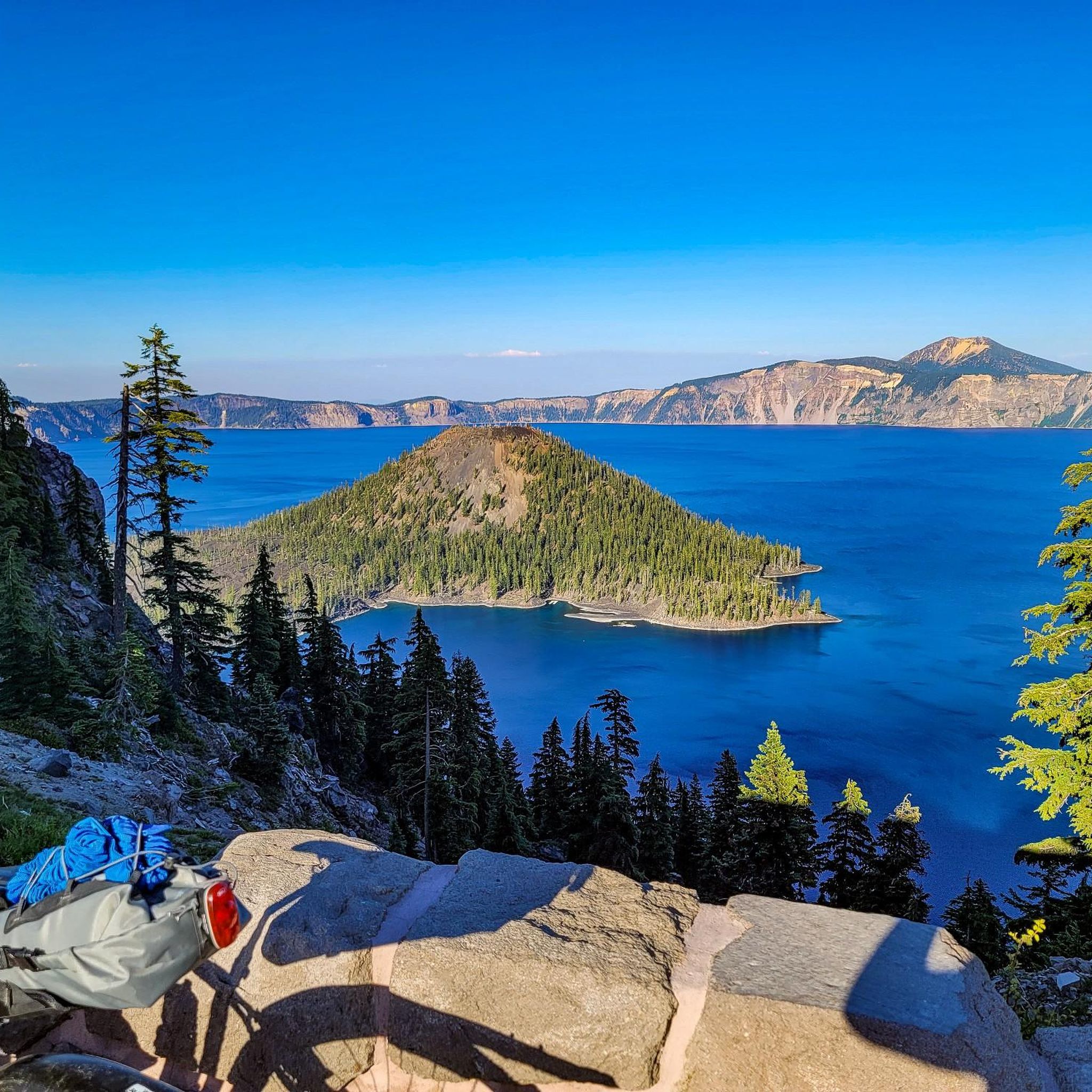
Road Cycling Routes in Crater Lake National Park
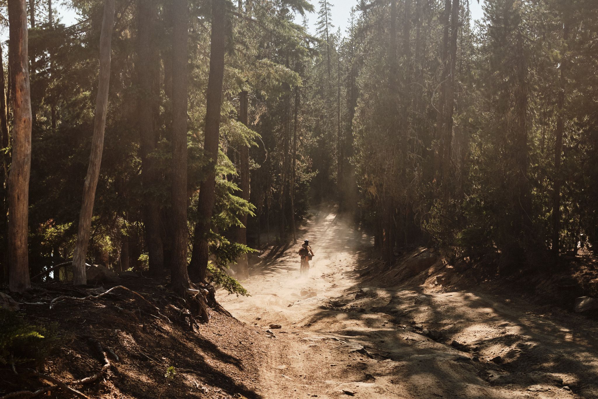
Oregon Timber Trail — High heat

Pacific Crest Trail from Mexico to Canada – 4,200 kilometres of wilderness
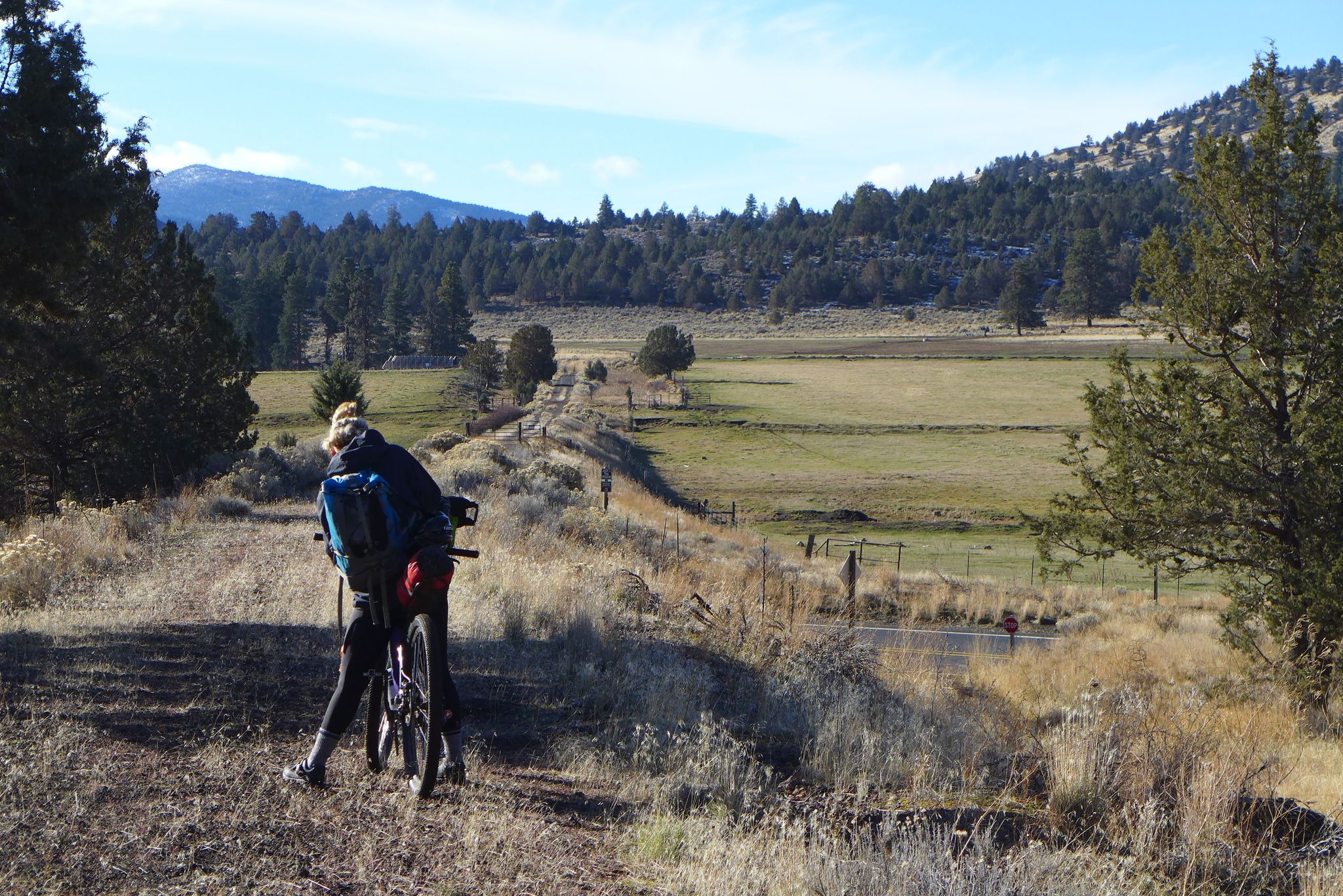
The OC&E Woods Line State Trail — Exploring Oregon's Longest Rail Trail
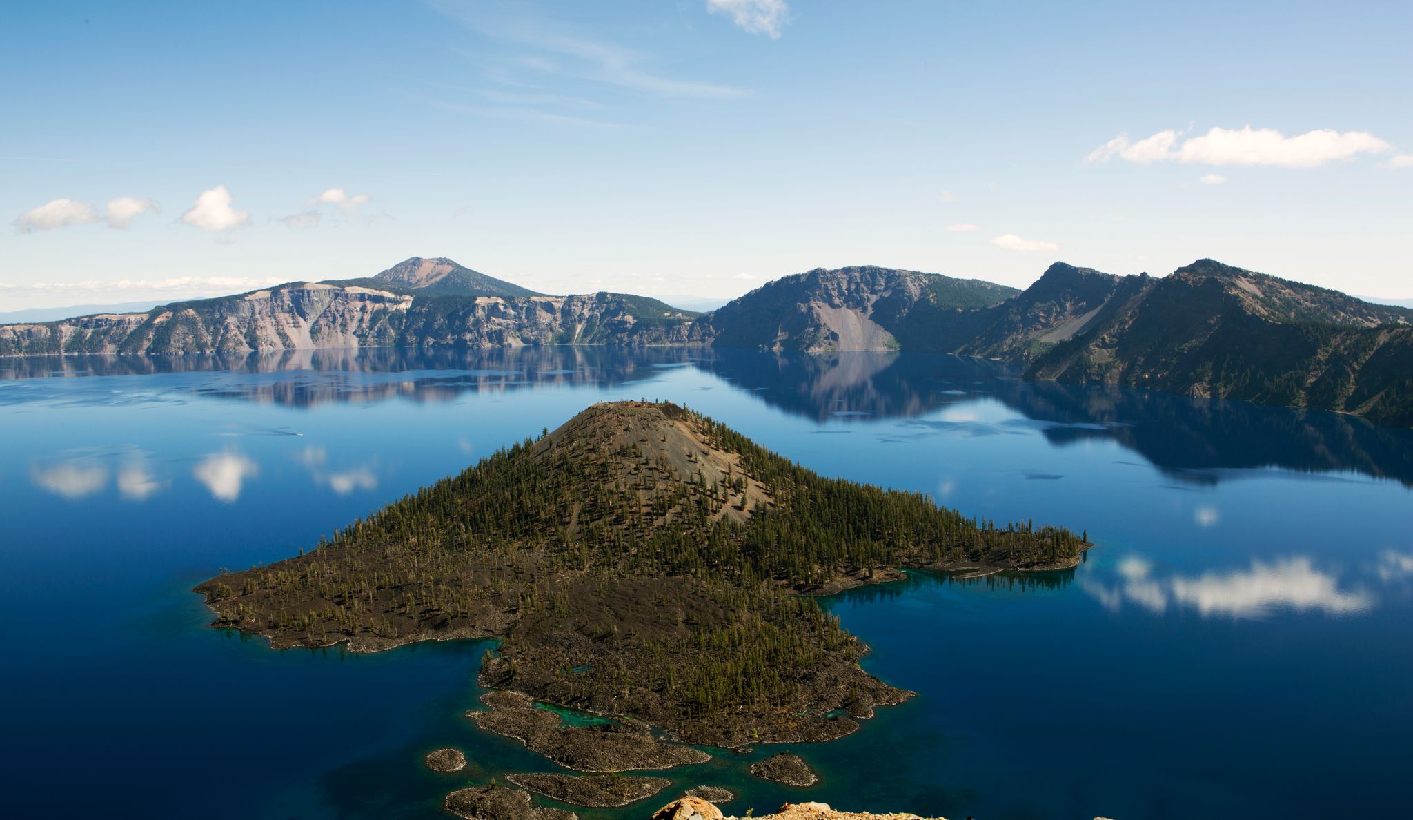
Volcanic peaks and glistening shores – discover Oregon and Washington

The pristine beauty of the US National Parks
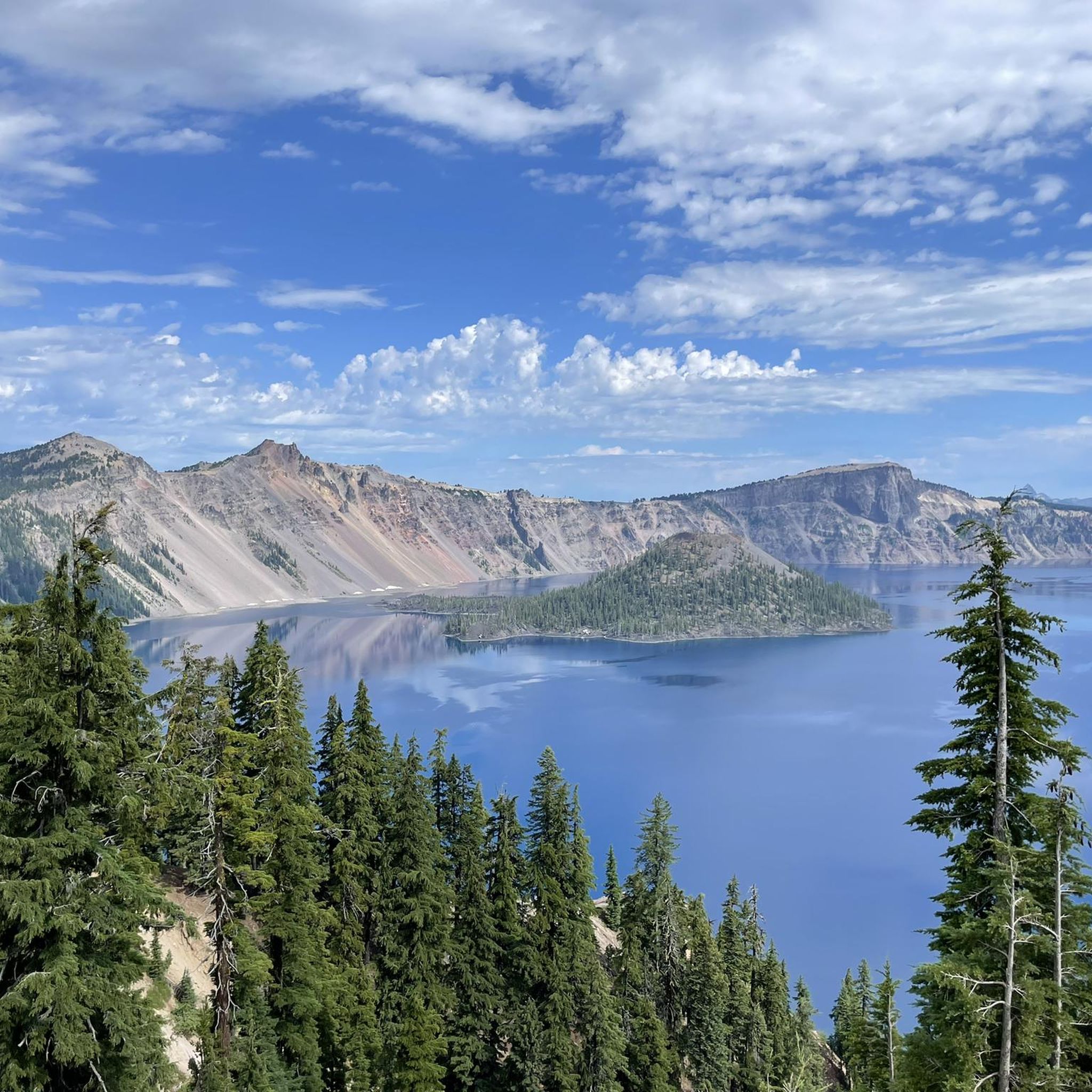
Hiking in Klamath County
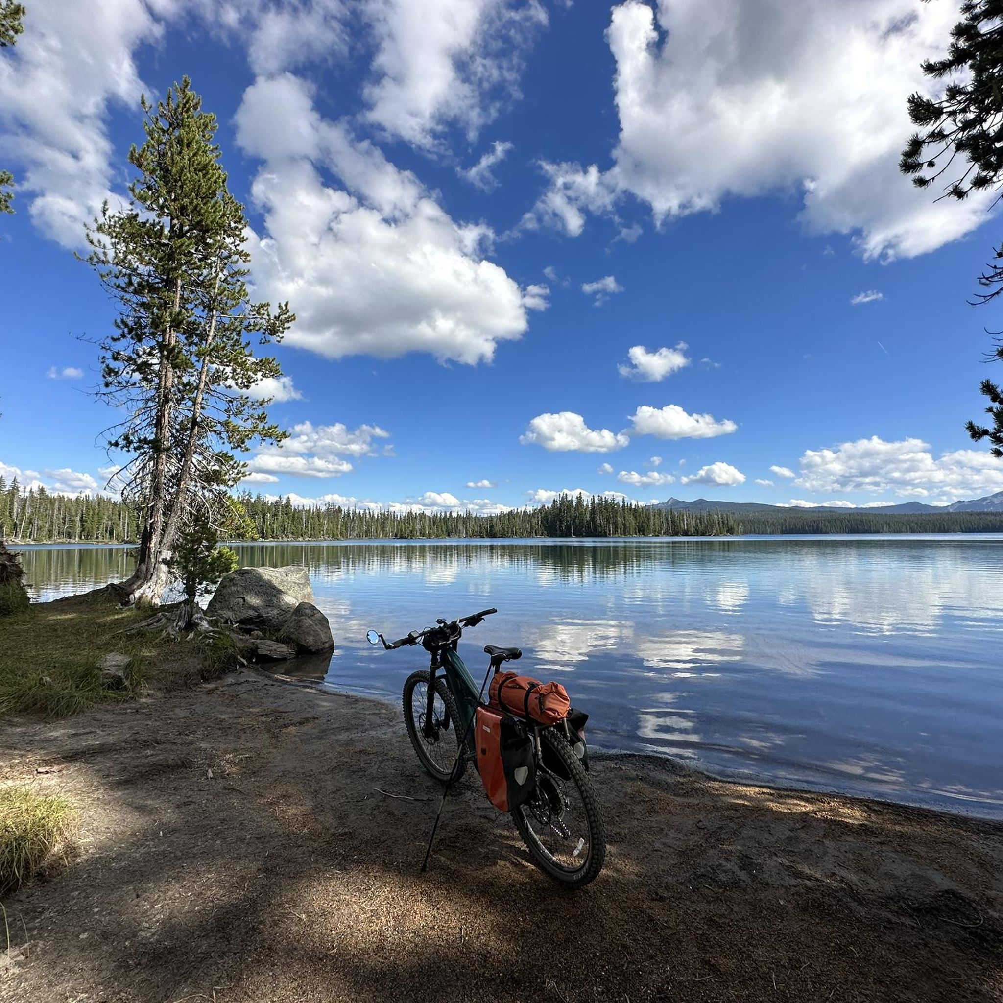
Cycling in Klamath County
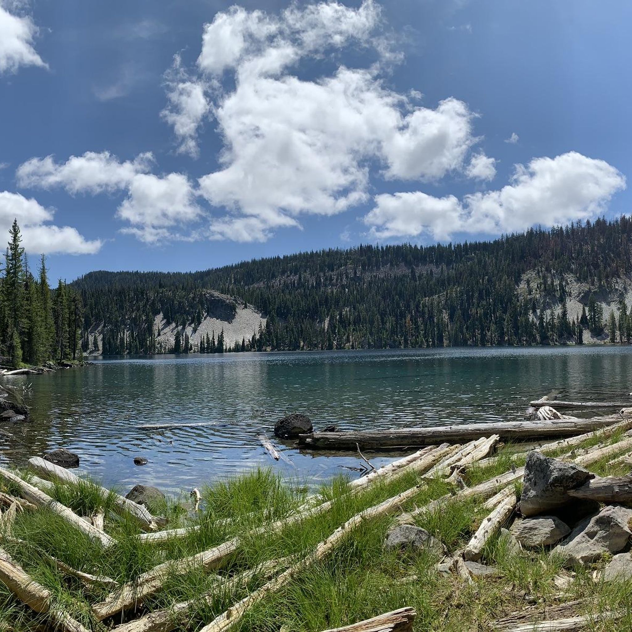
Running Trails in Klamath County
Other adventures in Klamath County


Tips from the Community

Each year, Crater Lake closes the park to cars for the Ride the Rim event. Best time to visit. So amazing.
0
0

If you are only going to stop at one viewpoint at Crater Lake, this one is at the top of the list! The view of Wizard Island is one of the best you'll get.
0
0

This trailhead sits just at the east end of the lodge. Although the trail starts out as pavement, it won't be long until it becomes a solid footpath heading up Garfield Peak.
0
0

The most beautiful ride I’ve ever experienced, but the road is not comfortable with car traffic for most people. Narrow shoulders, steep drops if you go off the road. They close the east rim road to cars in September for two weekends. Search “Crater Lake ride the rim day” for information. Also in late June there is a window of time when the snow has melted but roads are not yet open to car traffic but bikes and hikers are allowed. See the park website for road status and webcams. $30 to park inside, but you won’t be disappointed!
0
0

From the Watchman Overlook, you have a great view towards Wizard Island and Crater Lake itself. If you are willing to leave your bike for some minutes, this is also the starting point for the hike up to the Watchman, an old fire tower with a stunning panoramic view.
0
0

Waldo Lake is one of the largest alpine lakes in Oregon and due to its elevation a year round destination for all sorts of outdoor adventures. Be aware though that snow can linger here until July some years so hiking and biking may need to be put off until the snow melts.
0
0
Just a short distance off of Waldo Road is the picturesque Betty Lake. Nestled amongst the pines, Betty Lake is one of many smaller lakes that surround Waldo Lake.
0
0

Drivers pay their tolls here. As a hiker you of course have free access. If you want to stay in the Village, open from the end of May to the end of September, we recommend that you reserve a year in advance.
0
0
Frequently Asked Questions
How many road cycling routes are available in Klamath County?
Klamath County offers a diverse selection of 7 road cycling routes on komoot, ranging from moderate to difficult. These routes explore the region's unique volcanic landscapes, expansive lakes, and varied forest lands.
Are there road cycling routes suitable for beginners or those looking for an easier ride?
While many routes in Klamath County feature significant elevation, options like the Teal Lake loop from Diamond Lake offer a moderate challenge over a shorter distance. The region around Klamath Falls itself also provides generally flat, low-traffic county roads to the south and east, which can be suitable for easier riding.
What are some challenging road cycling routes for advanced riders in Klamath County?
Advanced riders will find significant challenges, particularly around Crater Lake. Routes such as the Cleetwood Cove – Phantom Ship Overlook loop from Howlock Mountain Trailhead and The Watchman Lookout – Cleetwood Cove loop from Crater Lake Superintendent's Residence feature extensive distances and substantial elevation gains, offering panoramic vistas of the volcanic landscape.
Which road cycling routes offer the most scenic viewpoints?
Many routes in Klamath County are renowned for their scenic beauty. The routes around Crater Lake, such as the Watchman Overlook – Discovery Point loop from Munson Point, provide breathtaking views of the intensely blue lake and dramatic cliffs. You can also visit specific viewpoints like Watchman Overlook and Discovery Point for stunning panoramas.
Are there any loop road cycling routes in Klamath County?
Yes, Klamath County features several excellent loop routes. Beyond the Crater Lake loops, cyclists can explore options like the Betty & Waldo Lakes loop or the PCT Pederson Trailhead – Lake of the Woods loop from Pearce Point. The region also offers country road loops such as the Westside Loop, Bonanza Loop, and Merrill Loop, which often provide views of Mount Shasta.
What is the best time of year for road cycling in Klamath County?
Klamath County boasts approximately 300 days of sunshine annually, making it favorable for cycling for much of the year. The warmer months, typically late spring through early fall, offer the most consistent and pleasant conditions for exploring the diverse landscapes, especially at higher elevations like Crater Lake.
What unique natural attractions can I see while road cycling in Klamath County?
Road cycling in Klamath County offers access to incredible natural wonders. You can cycle around Crater Lake National Park, the deepest lake in the U.S., or explore routes near the vast Upper Klamath Lake. The region's volcanic history is evident in areas like Lava Beds National Monument, featuring cinder cones and lava flows, though cycling directly through the monument may be limited to specific roads.
Are there any road cycling routes that follow former railway lines?
Yes, the OC&E Woods Line State Trail is a notable rails-to-trails conversion in Klamath County. This 100-mile paved path runs from Klamath Falls to Olene, offering a scenic mix of ranch lands, rivers, and forested buttes, suitable for road cycling.
What kind of terrain can I expect on road cycling routes in Klamath County?
Klamath County's road cycling terrain is highly varied. You'll encounter significant climbs and mountainous areas, particularly around Crater Lake and in the Klamath Mountains. However, the Klamath Basin also offers flatter sections and low-traffic country roads, providing a mix of challenging ascents and more moderate rides through forested and open country.
What do other cyclists enjoy most about road cycling in Klamath County?
The road cycling routes in Klamath County are highly rated by the komoot community, with an average score of 5.0 stars from over 5 reviews. Cyclists frequently praise the stunning natural beauty, the challenging yet rewarding climbs, and the diverse landscapes that range from volcanic formations to expansive lakes and dense forests.
Are there road cycling routes that offer views of Mount Shasta?
Yes, some of the scenic loops and country roads in Klamath County, particularly those traversing farmlands and pastures to the south and east, often provide distant views of Mount Shasta, adding another spectacular element to your ride.
Most popular attractions in Klamath County

Get inspired with the komoot mobile app


Didn’t find what you were looking for?
Check out more Road cycling routes throughout Klamath County below and find the perfect route in your destination.
Explore more
Browse the best Road cycling routes in other regions.
