The best walks and hikes in Franklin County
5.0
(4)
232
hikers
44
hikes
Hikes in Franklin County, Vermont, are characterized by the northern Green Mountains, offering routes that ascend notable peaks and traverse dense woodlands. The terrain includes sections of the Long Trail, with paths leading to summits like Jay Peak and Belvidere Mountain. The region's landscape provides a mix of challenging mountain climbs and more gentle walks through forests and around ponds.
Best hiking trails in Franklin County
- The most popular hiking route is the Jay Peak Summit Marker loop from Jay State Forest, a 3.1 mile (5.0 km) trail that takes about 2 hours 11 minutes to complete. This route involves a significant climb to the summit marker.
- Another top favourite among local hiking enthusiasts is Belvidere Mountain via the Long Trail — Belvidere, a moderate 5.0 mile (8.0 km) path. The trail follows a section of the Long Trail through forest to the mountain.
- Local hiking enthusiasts also love the Milton Town Forest loop from Milton Town Forest, a 4.2 mile (6.8 km) trail leading through local woodlands, often completed in about 1 hour 53 minutes.
- Hiking in Franklin County is defined by forested mountain slopes, sections of the Long Trail, and paths to scenic viewpoints. The trail network offers options for different ability levels, from challenging ascents to easier forest loops.
- The routes in Franklin County are highly rated by the komoot community with an average score of 5.0 stars from a number of reviews. More than 200 hikers have used komoot to explore Franklin County's varied terrain.
Last updated: September 28, 2026
3
hikers
2.52km
01:16
460m
0m
Hike the Jay Peak via Long Trail for a moderate 1.6-mile climb with 360-degree views of Vermont and Quebec from the summit.
3
hikers
4.06km
01:46
600m
0m
Embark on a moderate hike up Belvidere Mountain, a challenging route that covers 2.5 miles (4.1 km) and ascends 1962 feet (598 metres). You can expect to spend around 1 hour and 46 minutes on this journey. As you climb, the terrain shifts, offering a true sense of wilderness with diverse ecosystems. From the summit, especially from the fire tower, you'll be rewarded with panoramic 360-degree views. On clear days, you can spot the Green Mountains, Jay Peak, and even the distant White Mountains of New Hampshire. This less-traveled path provides a rewarding experience in Northern Vermont.
To begin your adventure, look for parking at trailheads that connect to the Long Trail, as it crosses Belvidere Mountain. This trail is best enjoyed when you are prepared for its varied and sometimes demanding terrain. Be ready for steep grades over ledges and potentially wet rock sections. If you plan to hike in spring, be aware that parts of the trail can be quite muddy. Good physical fitness is recommended for this route, which is considered moderate to advanced.
Beyond the stunning vistas, this route offers a unique glimpse into the area's past. You will pass an inactive asbestos mine, a quiet reminder of the region's industrial history. The trail itself is part of the larger Long Trail State Forest, providing a deep dive into Northern Vermont's natural environment. This hike stands out for its combination of challenging ascent and historical intrigue.

1
hikers
2.78km
01:15
410m
0m
Hike 1.7 miles (2.8 km) on the Long Trail from Hazen's Notch to Haystack Mountain, gaining 1340 feet (408 metres) in 1 hour 15 minutes.
4.57km
01:41
350m
170m
Hike Buchanan Mountain via The Long Trail for a moderate 2.8-mile trek with panoramic views and 1159 feet of elevation gain.
54.7km
14:01
240m
200m
Hike the 34.0-mile Missisquoi Valley Rail Trail, a challenging route through Vermont's farmlands and along the Missisquoi River.
5.0
(1)
18
hikers
7.99km
03:05
590m
590m
Hike the moderate 5.0-mile Long Trail to Belvidere Mountain for 360-degree fire tower views and diverse Vermont wilderness.
2
hikers
5.56km
01:45
220m
210m
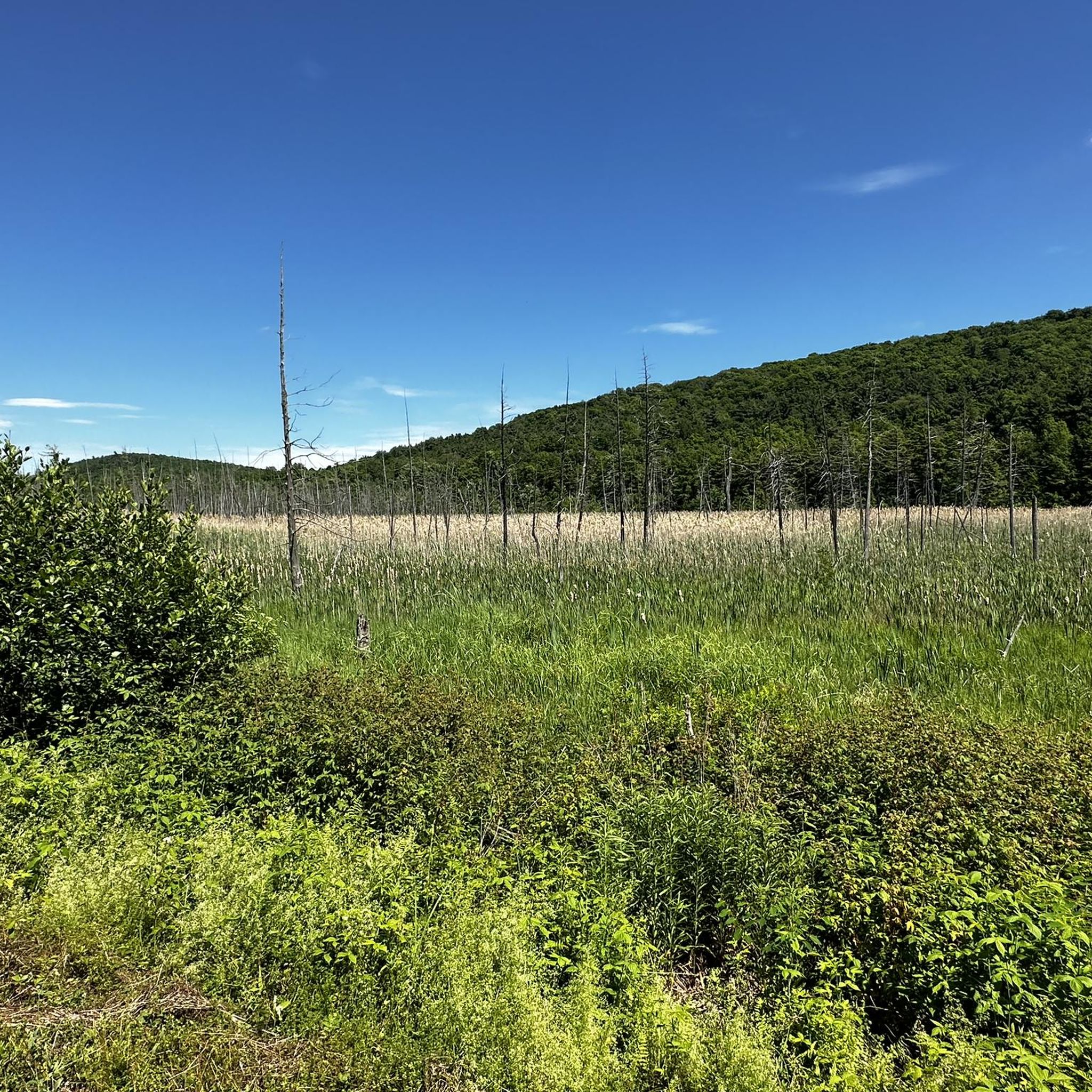
Embark on the Big Muddy Pond loop via Babcock Trail and Long Trail, an easy hiking route that takes you through diverse woodlands and along the scenic Big Muddy Pond. This 3.5-mile (5.6 km) loop involves a manageable 719 feet (219 metres) of elevation gain, making it a refreshing outdoor experience that typically takes about 1 hour and 44 minutes to complete. As you hike, you might spot beaver dams and other wildlife near the pond, and the route offers views from Ritterbush Lookout.
When planning your visit, be aware that the Babcock Trail section is known for its gentler terrain, which can make it a good option even during winter months. While specific parking details are not provided, the area is generally accessible. Always check local conditions before you head out, especially in spring when trails can become very wet and muddy, impacting your hiking experience.
This trail offers a unique blend of natural beauty and interesting geological features, particularly along the Long Trail segment. Here, especially around Devil's Gulch, you will encounter large rocks, boulders, and natural tunnels that add an adventurous element to your journey. The route provides a great opportunity to explore Vermont's Green Mountains and experience varied terrain within a relatively short distance.
20
hikers
6.83km
01:54
120m
120m
Easy hike. Great for any fitness level. Easily-accessible paths. Suitable for all skill levels.
12
hikers
8.72km
03:29
670m
670m
Moderate hike. Good fitness required. Easily-accessible paths. Suitable for all skill levels.
Get access to more routes and recommendations from other explorers.
Already have an account?
Our route recommendations are based on thousands of hikes, rides, and runs completed by other people on komoot.
Start today with a free account
Your next adventure awaits.


Tips from the Community


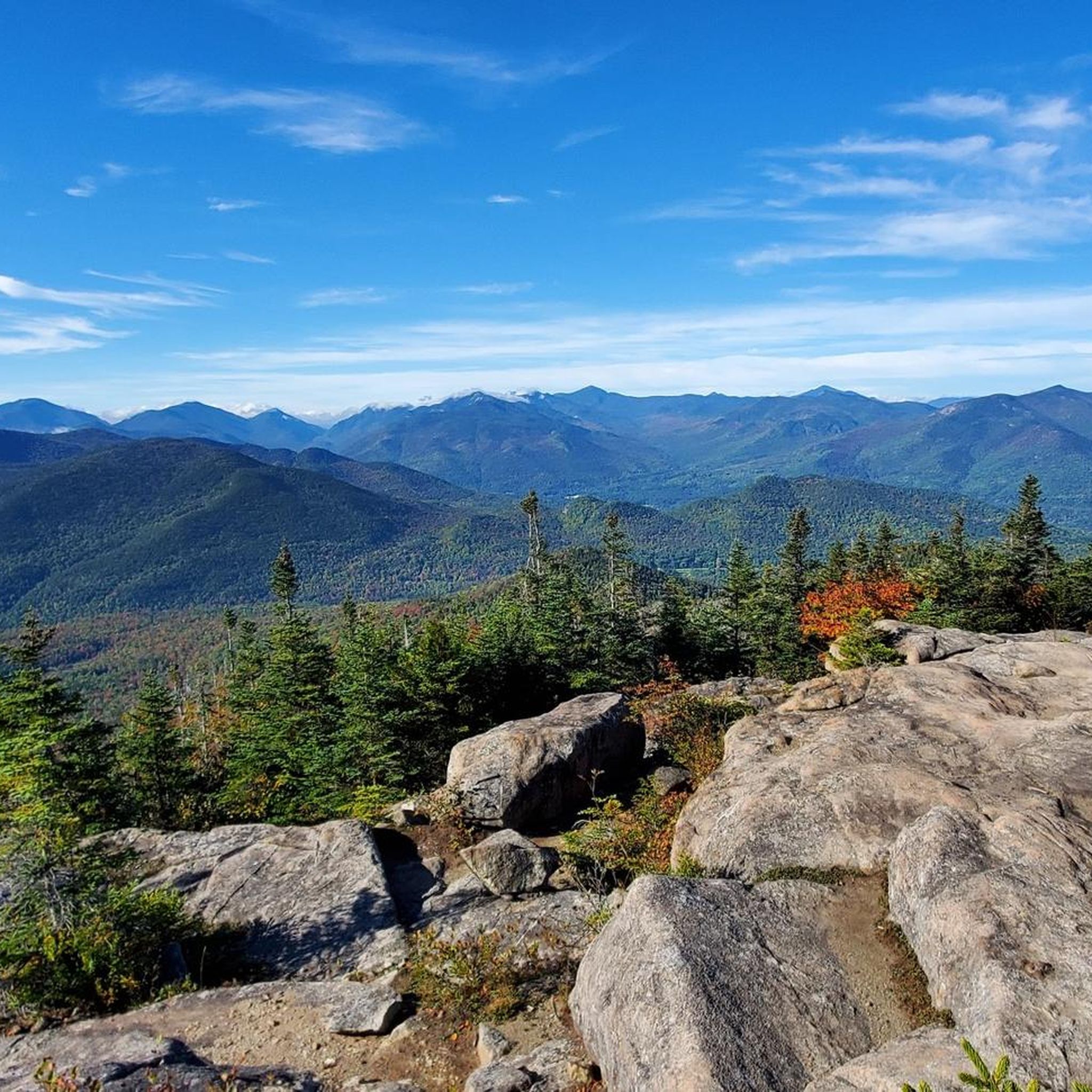
Jay Peak is one of Vermont's most prominent mountains. Standing at 3,862 feet, it is the northernmost major summit crossed by the Long Trail and offers panoramic views of the surrounding landscape.
0
0
The Ritterbush Lookout is a spot along the Long Trail that grants great views down to Rittenbush Pond. This is a nice spot to take some photos (especially in the fall when the leaves are changing!) and grab a snack before continuing on your hike.
0
0
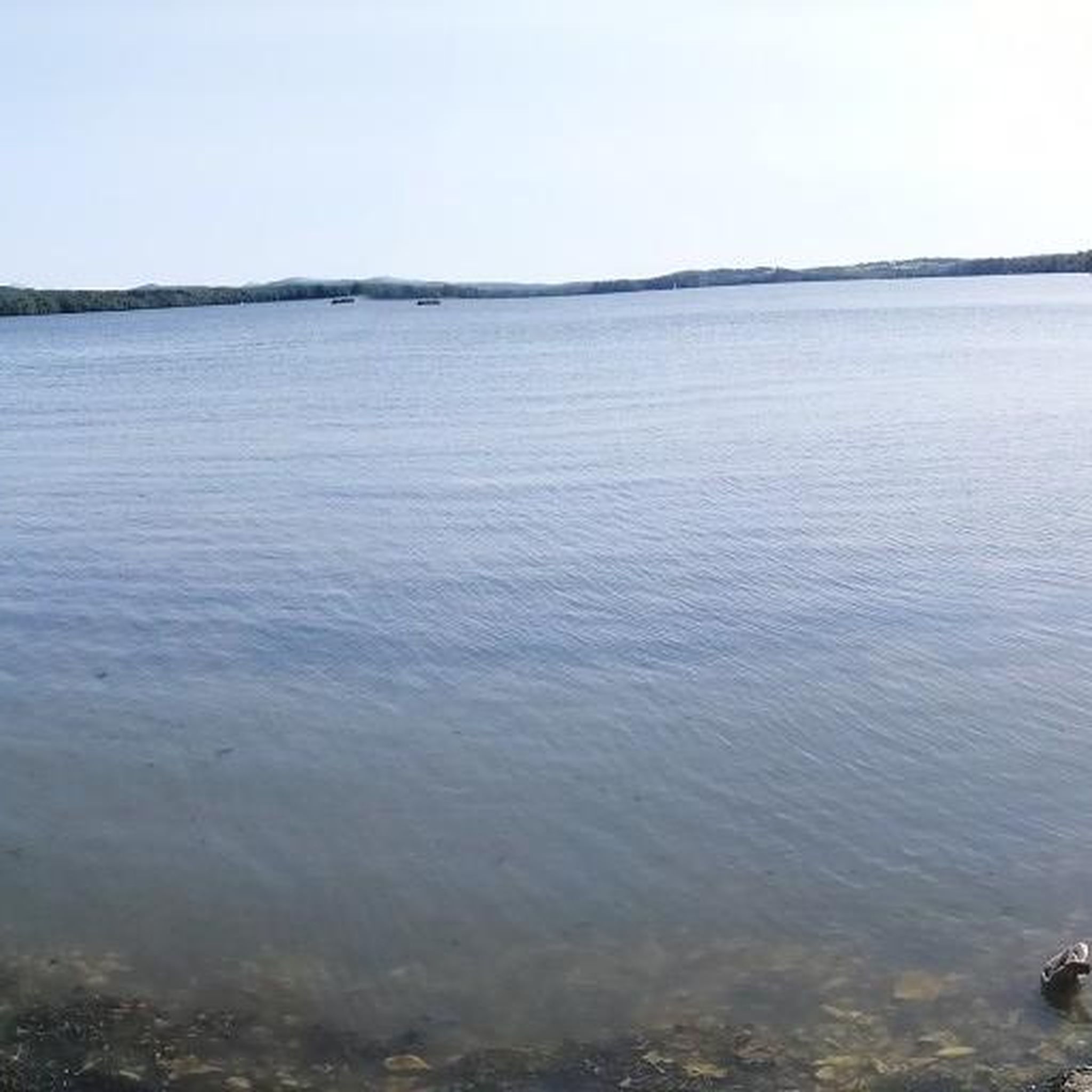
Big Muddy Pond is often somewhat overshadowed by the more accessible Belvidere Pond just across the road. This pond, however, is undeveloped and only reachable via hiking trails. You can hike around the entirety of the pond via the Babcock and Long Trails, and jump in to cool off on hot summer days. It can be a little buggy, however, so remember some bug spray!
0
0
The Babcock Trail is a generally gentle, sometimes muddy trail, that runs between the north-south along the western shore of Big Muddy Lake and the steep, rocky hillside of an unnamed peak that forms one side of Devil's Gulch. This is a great trail that takes you through the gulch in the shade. It is often linked with the famous Long Trail to make a very nice loop around the other side of Big Muddy Lake.
0
0
Belvidere Mountain lies along the Long Trail, a famous thru-hike, but is accessible via a number of other trails including the Frank Post and Forester’s Trails. Belvidere Mountain stands at 3,352 feet and is fairly prominent along the northern Vermont skyline. At the summit, there is a fire tower maintained by the Green Mountain Club that you can climb to the top of. From the top of the tower, you get truly stunning, 360 degrees views of the entire surrounding area; you can see the Green Mountains to the south, Owls Head and other surrounding mountains in Quebec, Canada to the north, and on clear days, the White Mountains of New Hampshire are visible to the east. You can also see two inactive asbestos mines at the eastern base of the mountain and on the south slope, respectively.
0
0
Frequently Asked Questions
How many hiking trails are available in Franklin County?
There are over 20 curated hiking routes in Franklin County. The trails offer a good mix for different abilities, with a majority being of moderate difficulty, several easier options, and at least one challenging trail for experienced hikers.
What do other hikers enjoy about the trails in Franklin County?
The area is highly rated by the komoot community. Hikers often praise the region for its classic Green Mountains scenery, with trails winding through dense woodlands and along sections of the famous Long Trail to reach scenic viewpoints.
Are there any easy, family-friendly hikes in the area?
Yes, there are several options suitable for families. A great choice is the Eagle Mountain loop from Eagle Mountain Natural Area. It's a relatively short and gentle walk through the forest, making it accessible for hikers of most ages and fitness levels.
What is a good hike for beginners?
For those new to hiking or looking for a gentle walk, the Parc Jane-Freligh loop from Frelighsburg is an excellent starting point. At under 3 km, this easy trail offers a pleasant introduction to the local landscape without significant elevation gain.
Can I take my dog on the hiking trails?
Many trails in Vermont are dog-friendly, but regulations can vary between state forests, private lands, and specific trail systems. It is always best to check the local rules for the specific trail you plan to hike. Keep your dog on a leash to protect wildlife and ensure a positive experience for all trail users.
Are there any circular walks or loop trails?
Absolutely. Many trails in Franklin County are designed as loops, allowing you to enjoy a varied journey without retracing your steps. For a moderately challenging circular route, consider the Vue loop from Abercorn, which provides a satisfying circuit through the forest.
What is the most challenging hike in Franklin County?
For experienced hikers seeking a strenuous challenge, the Jay Peak Summit Marker – Big Jay loop from Jay State Forest is the most difficult route available. This demanding trail involves significant elevation gain and a longer distance, rewarding determined hikers with incredible views.
Are there any hikes with waterfalls in Franklin County?
While the region is known for its beautiful forests and mountain views, prominent waterfalls are not a primary feature of the main hiking trails in Franklin County, Vermont. The hikes here focus more on ascending peaks and traversing the scenic woodlands of the Green Mountains.
What are the trail conditions like for hiking?
Trails in Franklin County are primarily natural surface paths through forests and up mountainsides. You can expect roots, rocks, and potentially muddy sections, especially after rain or during the spring thaw. Sturdy hiking footwear is recommended for most routes.
Can I go hiking in Franklin County during the winter?
Yes, winter hiking and snowshoeing are popular activities. However, conditions can be challenging with snow and ice. It is essential to have proper gear, including microspikes or snowshoes, warm layered clothing, and to check weather forecasts and trail conditions before you go.
What is a good moderate hike that isn't too crowded?
If you're looking for a moderately challenging hike that offers a sense of solitude, the Big Muddy Pond loop via Babcock Trail and Long Trail — Belvidere is a fantastic option. It combines a section of the Long Trail with a peaceful pond setting.
Are there any long-distance hiking options?
Yes, the region is crossed by the Long Trail, which is America's oldest long-distance hiking path. You can tackle a lengthy day hike like the Hiking loop from Lowell, which covers over 11 km and includes significant elevation, offering a true taste of the Green Mountains.
Most popular routes in Franklin County
Most popular attractions in Franklin County

Get inspired with the komoot mobile app


Didn’t find what you were looking for?
Check out more Hikes throughout Franklin County below and find the perfect route in your destination.
Explore more
Browse the best Hikes in other regions.
