The best cycling routes around Presa Manuel vila Camacho
4.6
(37)
248
riders
18
rides
Touring cycling around Presa Manuel Ávila Camacho offers routes through varied terrain, characterized by the reservoir's proximity and surrounding natural features. The region includes areas with moderate elevation changes, such as those found near ravines and hills, alongside flatter sections. These routes often traverse landscapes with a mix of developed areas and natural environments, providing diverse cycling experiences. The network of trails caters to different skill levels, from easy paths to more challenging ascents.
Best touring cycling routes around Presa…
Last updated: July 1, 2026
4.7
(6)
42
riders
18.8km
01:12
100m
100m
Easy bike ride. Great for any fitness level. Mostly paved surfaces. Suitable for all skill levels.
17
riders
64.4km
04:27
1,080m
1,080m
Hard bike ride. Very good fitness required. Mostly paved surfaces. Suitable for all skill levels.

Sign up for free
4.5
(2)
6
riders
Hard bike ride. Very good fitness required. Mostly paved surfaces. Suitable for all skill levels.
5.0
(1)
5
riders
91.9km
05:57
1,130m
1,130m
Hard bike ride. Very good fitness required. Mostly paved surfaces. Suitable for all skill levels.
5.0
(3)
17
riders
14.3km
00:56
70m
70m
Easy bike ride. Great for any fitness level. Mostly paved surfaces. Suitable for all skill levels.
Get access to more routes and recommendations from other explorers.
Sign up for free
Already have an account?
Our route recommendations are based on thousands of hikes, rides, and runs completed by other people on komoot.
Start today with a free account
Your next adventure awaits.
Login or Signup

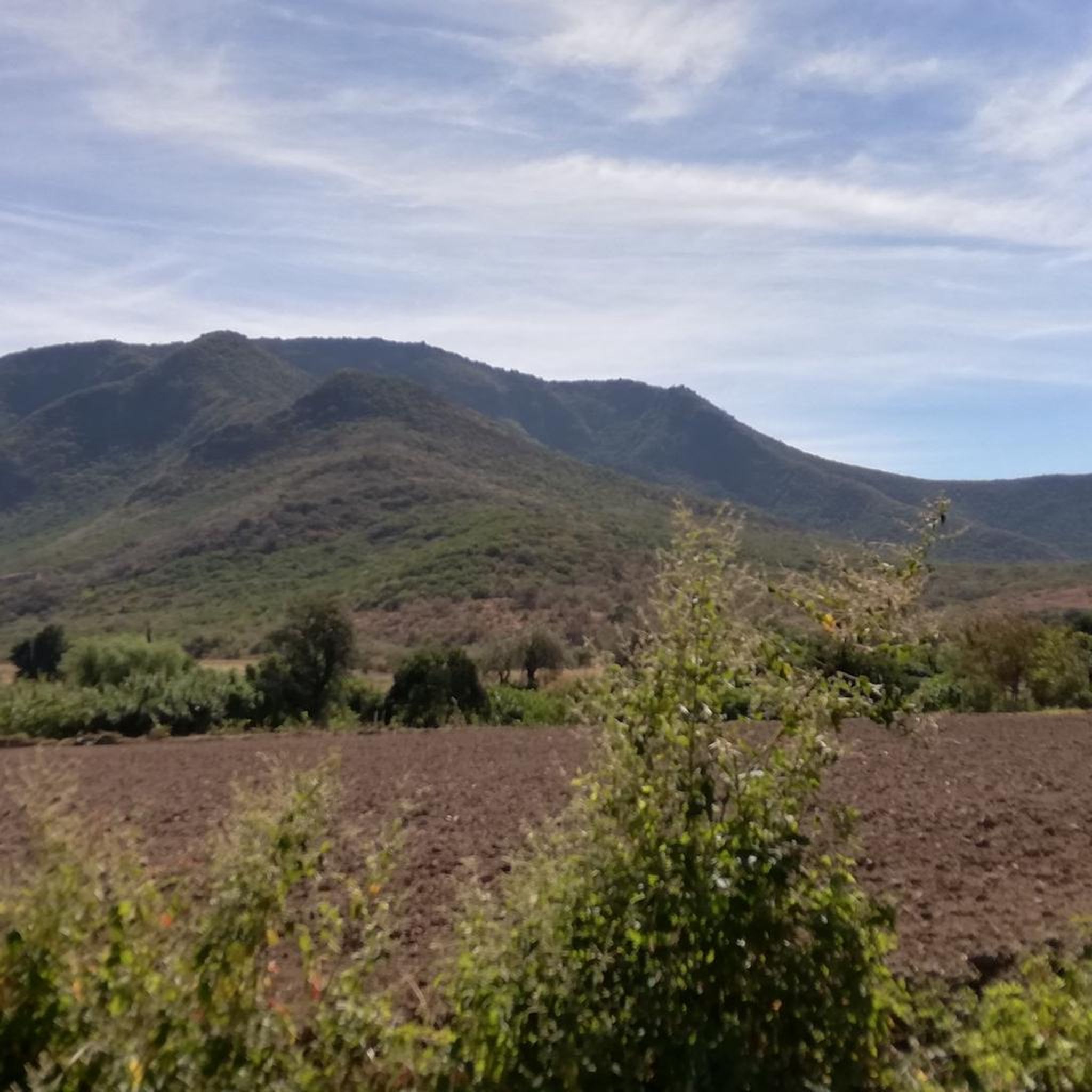
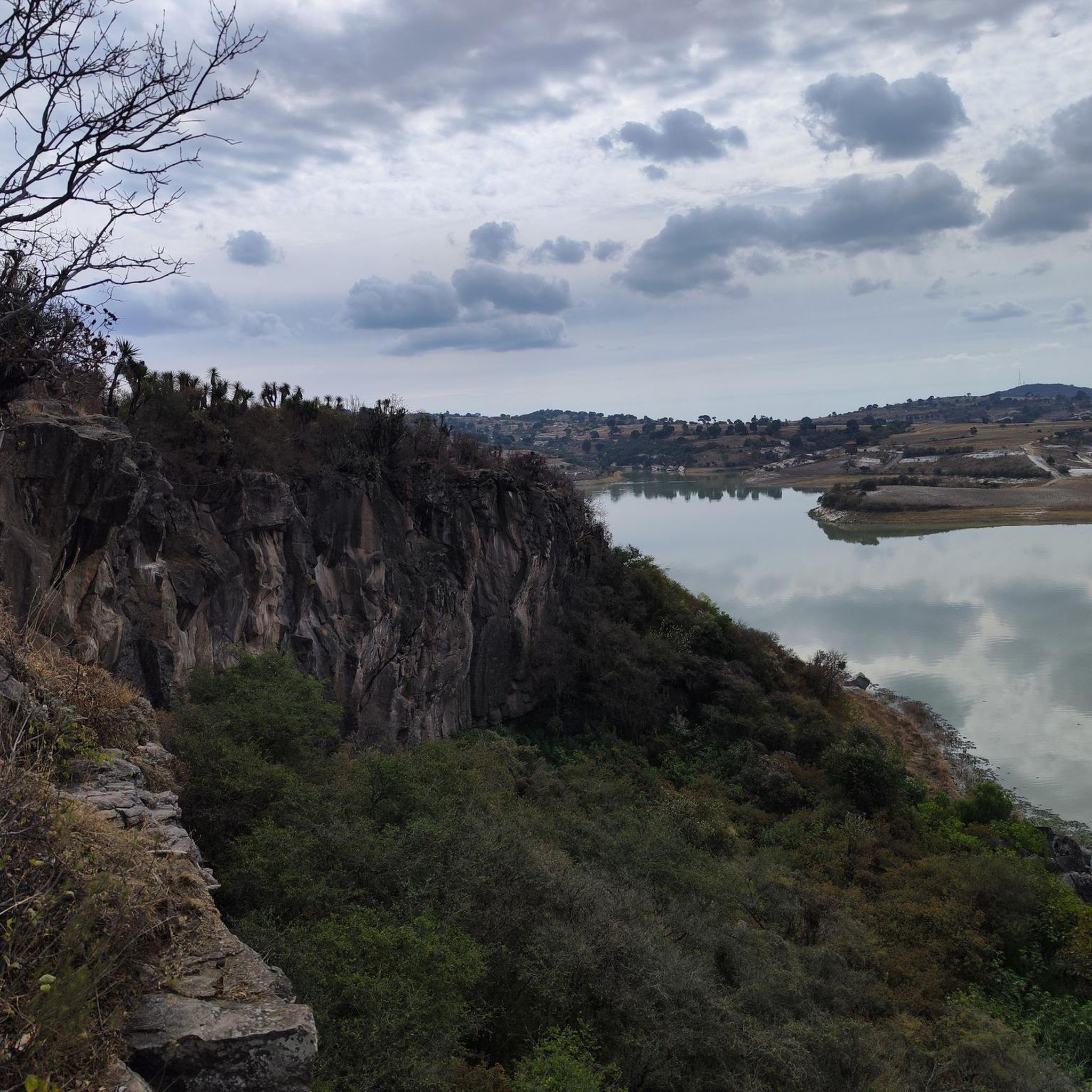
Tips from the Community


This city park was inaugurated in 1840 as Paseo Nuevo. In 1870 it was renamed Paseo Bravo in honor of the rebel general Miguel Bravo, who was executed in this square in 1814.
1
0


Congratulations !!! Always with all precautions!!! Cheer up!!!
2
0

Very good, congratulations, greetings from the southeast of Zacatecas, Villa García.
2
0

Watching the sun rise
0
0
Frequently Asked Questions
How many touring cycling routes are available around Presa Manuel Ávila Camacho?
There are over 20 touring cycling routes documented on komoot for the Presa Manuel Ávila Camacho area, offering a variety of experiences for different skill levels.
Are there easy touring cycling routes suitable for beginners or families?
Yes, the region offers 9 easy touring cycling routes perfect for beginners or family outings. An excellent option is the Beautiful – Estrella de Puebla loop from Terminal de Autobuses Oro, which is 10.7 miles (17.2 km) long and features a relatively flat profile, making it suitable for a relaxed ride through urban and green spaces.
What are some challenging touring cycling routes for experienced riders?
For experienced touring cyclists seeking a challenge, there are 5 difficult routes. Consider the Barranca el Alcanford – Barranca la Yoyotera loop from Boulevard Los Reyes, a 39.6 miles (63.8 km) trail that leads through ravines and varied topography, typically completed in about 4 hours 27 minutes. Another demanding option is the Barranca el Alcanford – Cerro Tecorral loop from Terminal de Autobuses Oro, spanning 67.8 km with significant elevation changes.
Are the touring cycling routes around Presa Manuel Ávila Camacho typically circular?
Many of the touring cycling routes in this area are designed as loops, allowing you to start and end at the same point. For instance, the popular Bike loop from Lomas de Angelópolis is a 10.9 miles (17.5 km) circular route.
What is the typical duration for touring cycling routes in this region?
Route durations vary significantly based on distance and difficulty. Shorter, easier routes like the Beautiful – Estrella de Puebla loop can take around 1 hour, while longer, more challenging routes such as the Beautiful – Loma los Olivos loop from Terminal de Autobuses Oro, which is 88.1 km, can take over 5 hours.
What is the best season for touring cycling around Presa Manuel Ávila Camacho?
The region generally experiences a pleasant climate for cycling for much of the year. The dry season, typically from November to May, offers more consistent weather with less rain, making it ideal. However, always check local forecasts before heading out.
What do other touring cyclists enjoy most about cycling in Presa Manuel Ávila Camacho?
The area is highly rated by the komoot community, with an average score of 4.7 stars from over 30 reviews. Cyclists often praise the varied terrain, which includes reservoir views, barrancas (ravines), and surrounding hills, providing diverse and engaging experiences.
Are there viewpoints or scenic spots along the touring cycling routes?
Given the proximity to Presa Manuel Ávila Camacho and the surrounding hills and ravines, many routes naturally offer scenic viewpoints of the reservoir and the varied landscape. Routes traversing barrancas, like the Barranca el Alcanford – Barranca la Yoyotera loop, provide unique perspectives of the natural topography.
What should I wear for touring cycling in this region?
Given the varied terrain and potential for elevation changes, it's advisable to wear layers that can be adjusted. Moisture-wicking clothing is recommended, along with appropriate cycling shorts for comfort. Always bring sun protection, including sunglasses and sunscreen, and a helmet is essential for safety.
Is public transport available to access touring cycling routes in Presa Manuel Ávila Camacho?
While specific public transport options directly to trailheads can vary, many routes, such as those starting from 'Terminal de Autobuses Oro,' are accessible from urban centers, suggesting potential connections via local bus services. It's best to research local transport links to your chosen starting point.
Are there any dog-friendly touring cycling routes in the area?
While komoot routes don't specifically tag for dog-friendliness, many open-air paths and less technical routes can be suitable for cycling with a well-behaved dog, especially if they are accustomed to running alongside a bike or can be carried in a trailer. Always ensure local regulations allow dogs and practice responsible pet ownership.
Where can I find parking for touring cycling routes around Presa Manuel Ávila Camacho?
Many routes originate from or pass through areas with established parking, particularly near urban starting points or recreational zones. For routes starting from locations like 'Lomas de Angelópolis' or 'Terminal de Autobuses Oro,' you can often find public parking facilities nearby. Always check for specific parking information for your chosen trailhead.
Most popular routes around Presa Manuel vila Camacho

Get inspired with the komoot mobile app


Explore more
Browse the best Cycling routes in other regions.
