The best walks and hikes around Belmonte De Miranda
4.5
(1084)
8,740
hikers
125
hikes
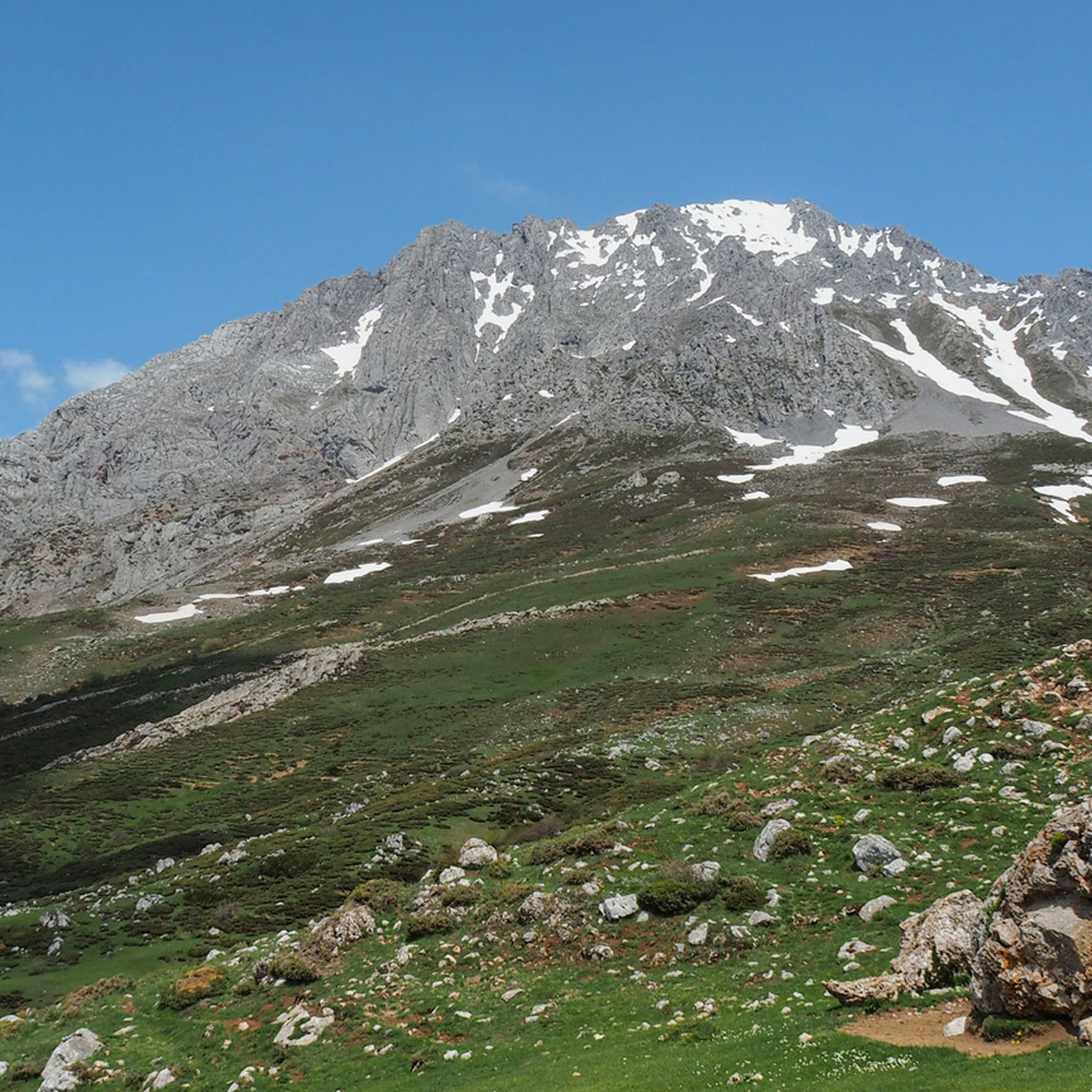
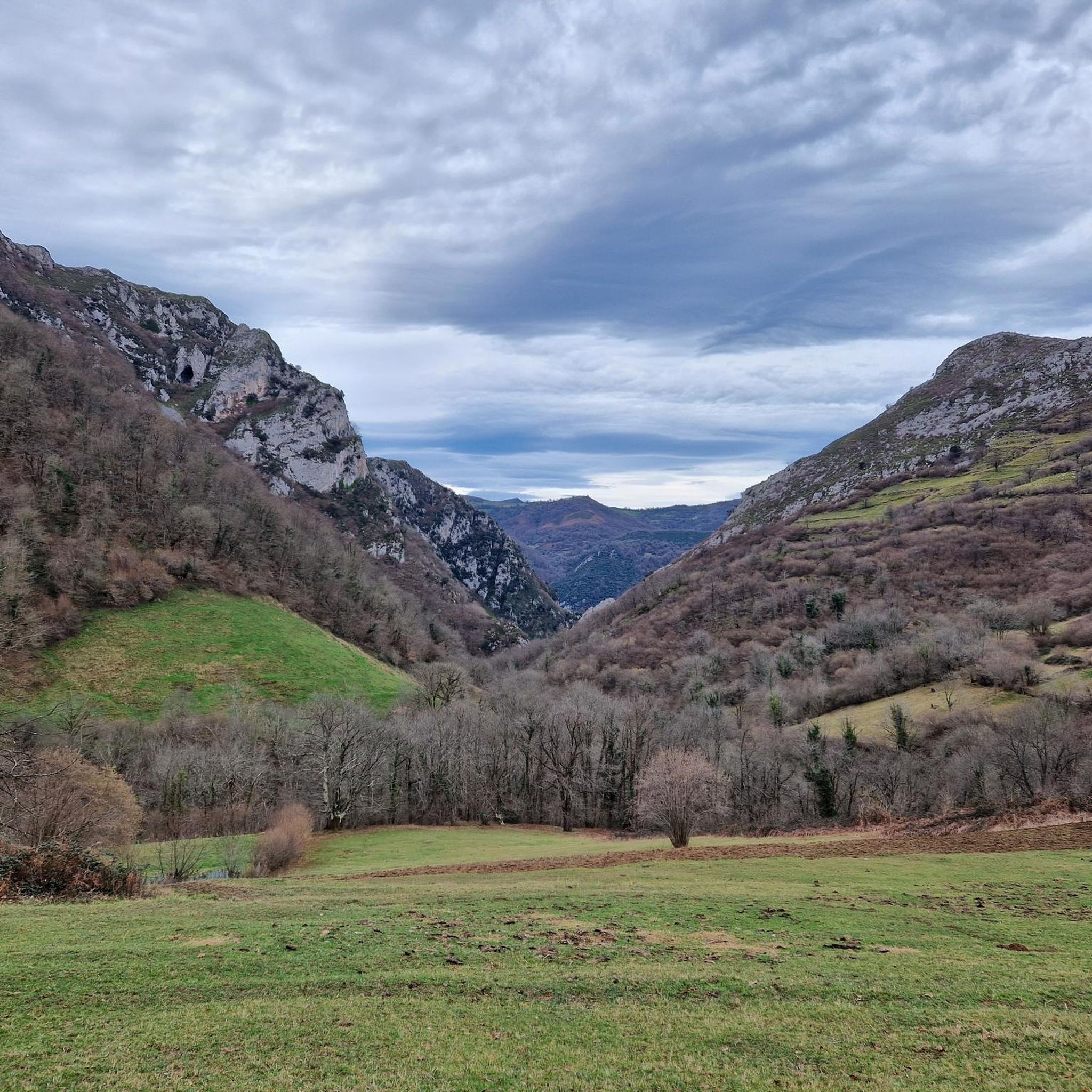
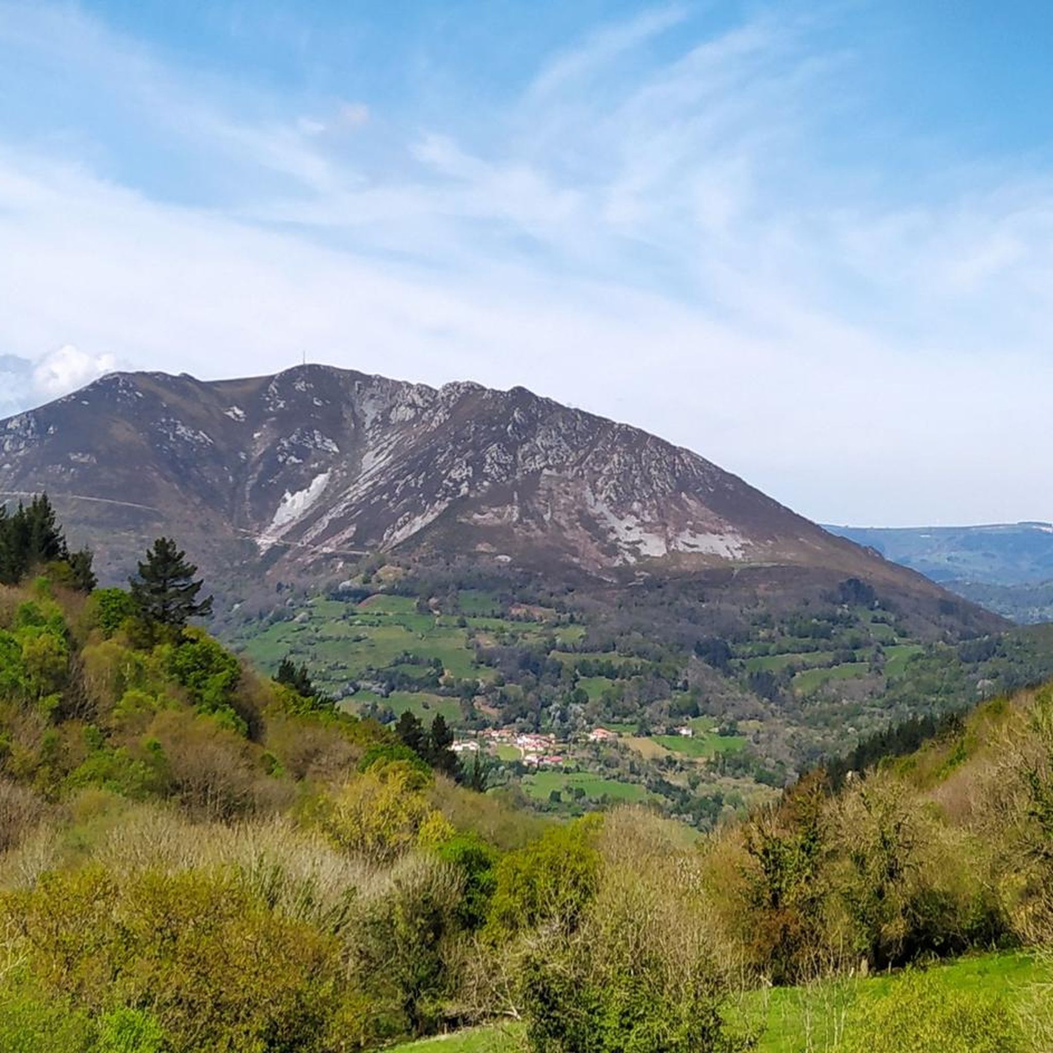
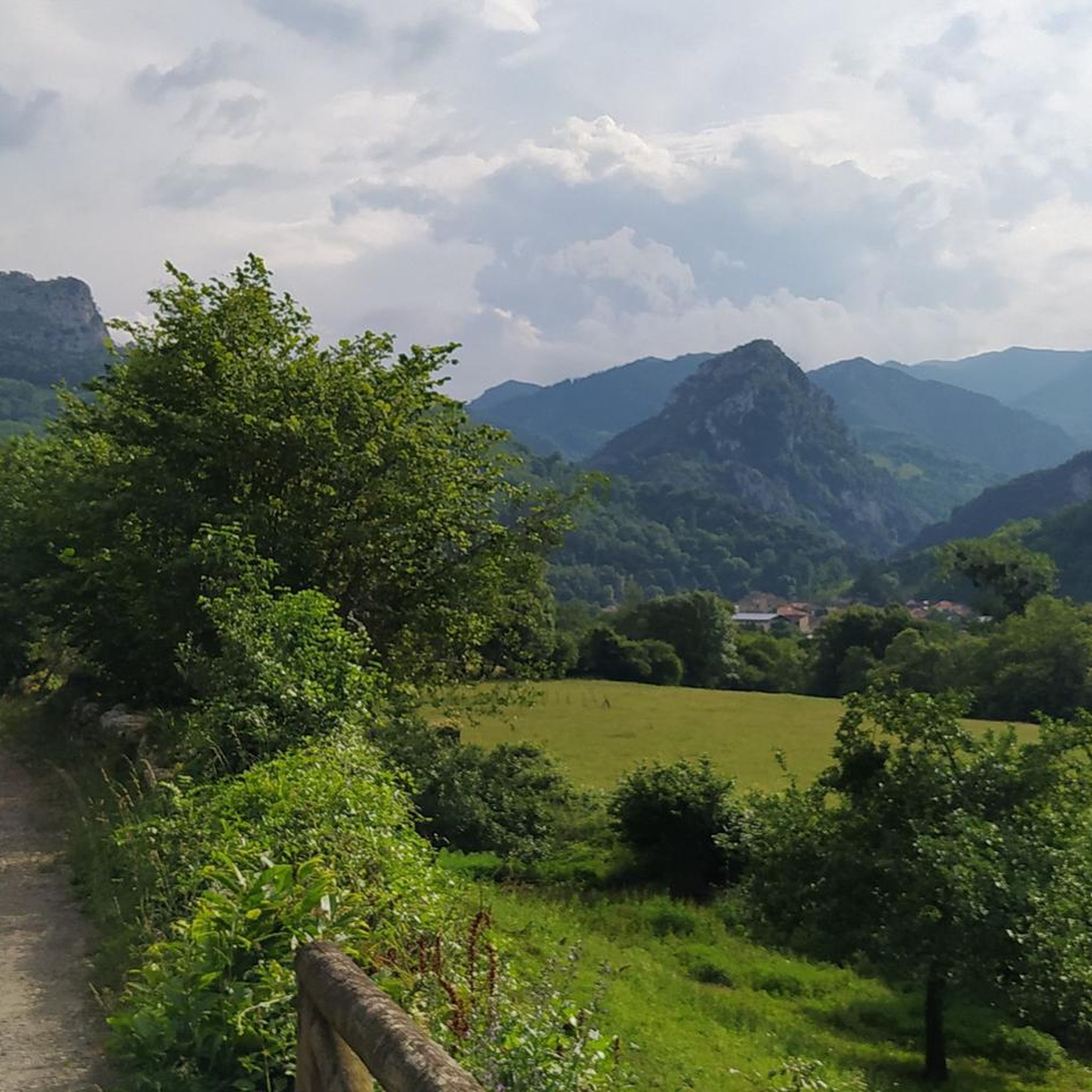
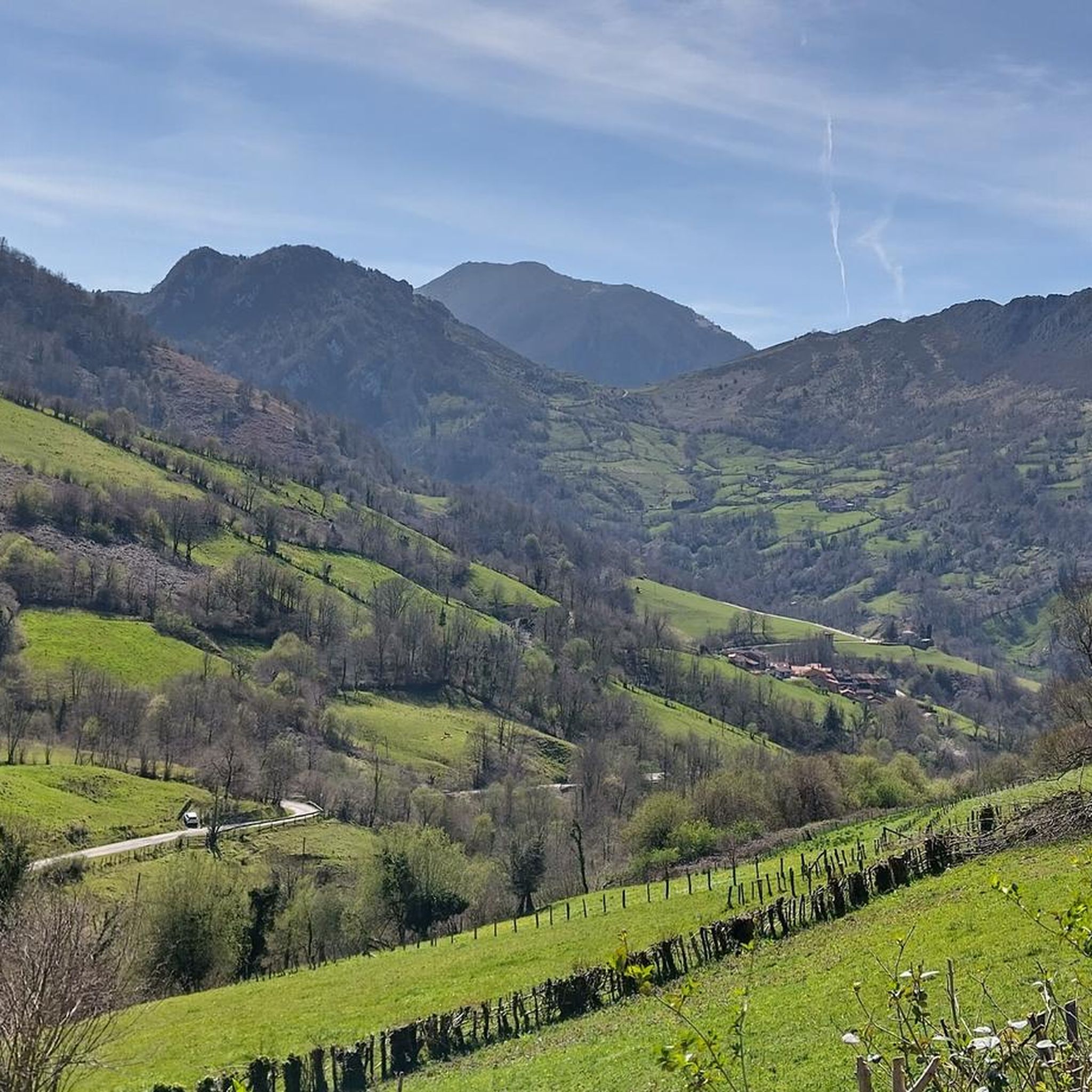
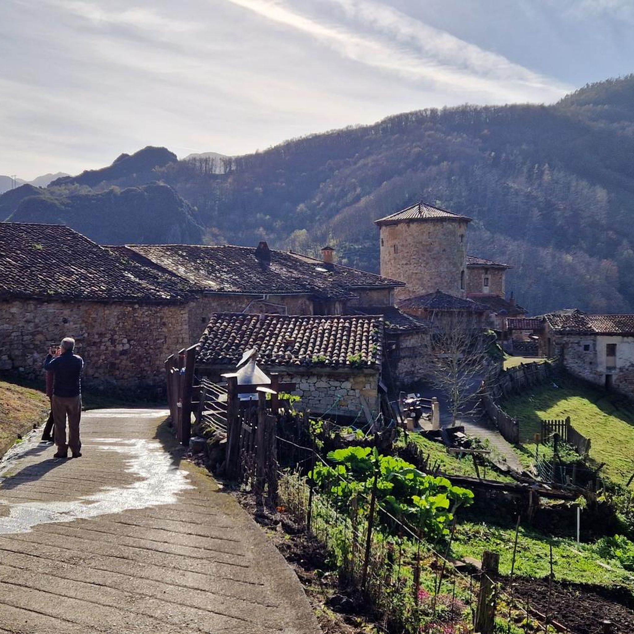
Hiking trails around Belmonte De Miranda, located in central-western Asturias, traverse a dramatic topography of mountains, valleys, and rivers, including the trout-rich Pigüeña River. A significant portion of its southeastern area is part of the biodiverse Somiedo Natural Park, characterized by native forests of oaks and chestnuts. The region also includes areas protected by the Natura 2000 Network, offering varied terrain for hikers.
Best hiking trails around Belmonte De Miranda
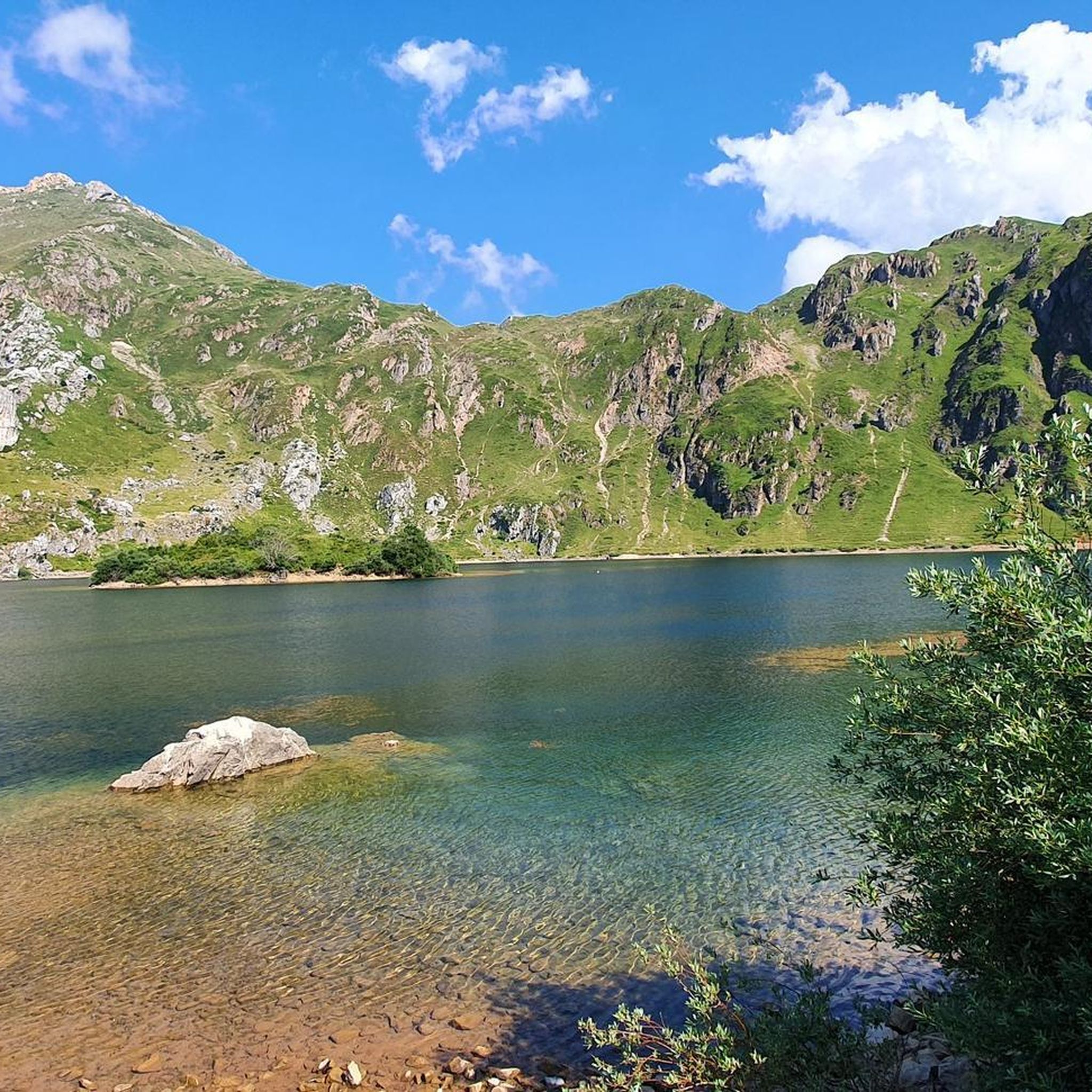
- The most popular hiking route is Saliencia Lakes Loop – Somiedo Natural Park, a 4.8 miles (7.7 km) trail that takes 2 hours 32 minutes to complete. This moderate route offers scenic views of glacial lakes within the protected Somiedo Natural Park.
- Another top favourite among local hikers is Circular Route of the Lake Valley — Somiedo Natural Park, a moderate 7.7 miles (12.3 km) path. This trail provides expansive views of the Lake Valley, showcasing the natural beauty of the park.
- Local hikers also love the Braña de Sousa, circular desde Valle del Lago — Parque Natural de Somiedo, a 4.4 miles (7.1 km) trail leading through traditional "brañas vaqueiras" (seasonal pastures), often completed in about 2 hours 12 minutes.
- Hiking around Belmonte De Miranda is defined by its dramatic mountains, river valleys, and native forests within the Somiedo Natural Park. The extensive network of trails offers options for various ability levels, from easy riverside walks to more challenging mountain ascents.
- The routes in Belmonte De Miranda are highly rated by the komoot community with an average score of 4.6 stars from over 700 reviews. More than 5,900 hikers have used komoot to explore Belmonte De Miranda's varied terrain.
Last updated: June 26, 2026
4.9
(78)
442
hikers
7.72km
02:32
320m
320m
Moderate hike. Good fitness required. Mostly accessible paths. Sure-footedness required.
4.6
(91)
565
hikers
12.3km
03:36
340m
340m
Moderate hike. Good fitness required. Easily-accessible paths. Suitable for all skill levels.

Sign up for free
4.8
(20)
97
hikers
7.11km
02:12
250m
250m
Moderate hike. Good fitness required. Mostly accessible paths. Sure-footedness required.
4.7
(9)
70
hikers
22.8km
08:23
970m
970m
Hard hike. Very good fitness required. Sure-footedness, sturdy shoes and alpine experience required.
3.9
(9)
55
hikers
9.60km
03:33
260m
260m
Moderate hike. Good fitness required. Mostly accessible paths. Sure-footedness required.
3.7
(6)
47
hikers
Hard hike. Very good fitness required. Sure-footedness, sturdy shoes and alpine experience required.
3.7
(3)
52
hikers
13.1km
06:52
1,270m
1,270m
Hard hike. Very good fitness required. Mostly accessible paths. Sure-footedness required.
4.3
(8)
31
hikers
Moderate hike. Good fitness required. Easily-accessible paths. Suitable for all skill levels.
5.0
(3)
17
hikers
3.29km
00:53
40m
40m
Easy hike. Great for any fitness level. Easily-accessible paths. Suitable for all skill levels.
3.3
(3)
22
hikers
7.39km
02:12
130m
120m
Moderate hike. Good fitness required. Mostly accessible paths. Sure-footedness required.
Get access to more routes and recommendations from other explorers.
Sign up for free
Already have an account?
Our route recommendations are based on thousands of hikes, rides, and runs completed by other people on komoot.
Start today with a free account
Your next adventure awaits.
Login or Signup
Popular around Belmonte De Miranda

Other adventures around Belmonte De Miranda


Tips from the Community

It's very interesting to take a look at
0
0
Very interesting to visit
0
0

A port that you can grab from any of its sides
0
0

It's an ideal starting point for tours in the region. Hotels and restaurants are available. However, the bears have retreated.
2
0

The Valdemurio Reservoir Footbridge is a structure that allows visitors to enjoy panoramic views of the reservoir and its natural surroundings. This footbridge is part of the Senda del Oso, a very popular hiking and cycling route in Asturias.
2
0

Beautiful, impressive environment.
1
0

A Portal to another dimension, Get off the bike and give yourself 20 minutes!
1
0

In this meadow or braña there are various traditional constructions, such as olleras and pallozas, associated with livestock farming and cheese making. The pots are stone constructions, located next to fountains, in order to use the water to cool the milk that the pots contained. The pallozas are traditional circular constructions made of stone and with wooden roofs covered with straw. This place was occupied from May to October, and has good views towards the Caunedo valley.
2
0
Frequently Asked Questions
How many hiking trails are available around Belmonte De Miranda?
There are over 130 hiking trails around Belmonte De Miranda. This includes a wide range of options, with 22 easy routes perfect for a relaxed stroll, 71 moderate trails for a more engaging experience, and 37 difficult paths for seasoned hikers seeking a challenge.
Are there easy hiking trails suitable for beginners or families?
Yes, Belmonte De Miranda offers 22 easy hiking trails, many of which are suitable for beginners or families. These often include riverside walks along the Pigüeña River or routes through traditional "brañas vaqueiras" (seasonal pastures), providing gentle terrain and cultural insights. A good example is the Embalse de Valdemurio — circular por la Senda del Oso, which is an easy circular route.
Can I find circular hiking routes in the area?
Absolutely. Many trails around Belmonte De Miranda are circular, allowing you to start and end at the same point without retracing your steps. Popular options include the Saliencia Lakes Loop – Somiedo Natural Park and the Circular Route of the Lake Valley — Somiedo Natural Park, both offering stunning scenery within the protected Somiedo Natural Park.
What kind of natural attractions can I see while hiking in Belmonte De Miranda?
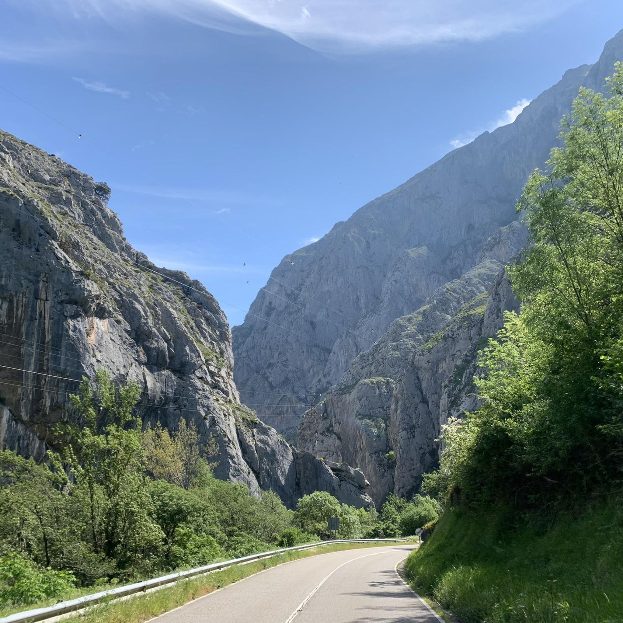
The region is rich in natural beauty. You can explore dramatic mountains, river valleys like the Pigüeña, and native forests of oaks and chestnuts. Within the nearby Somiedo Natural Park, you'll find glacial lakes, such as those along the Saliencia Lakes Loop, and the expansive Lake of the Valley. The area also features impressive geological formations like the Desfiladero de Peñas Juntas on the Senda del Oso.
Are there any viewpoints offering panoramic views?
Yes, Belmonte De Miranda is known for its natural viewpoints. The Alto Carricéu, located along the Vaqueira Route, is particularly noted for offering expansive panoramas of the landscape. Many mountain trails also provide stunning vistas of the surrounding valleys and peaks.
What cultural or historical sites can be explored during a hike?
Hiking in Belmonte De Miranda can be combined with exploring its rich cultural and historical heritage. You might encounter Roman pavements along segments of the ancient Camín Real de la Mesa. The region also has a history of gold extraction, with sites like the Roman Forge of "El Machucu" and museums such as the Aula del Oro (Gold Classroom) providing insights into the past.
Is Belmonte De Miranda a good place for wildlife observation?
Yes, especially due to its proximity to the Somiedo Natural Park, a protected area known for its remarkable biodiversity. Hikers might spot diverse wildlife, including foxes, badgers, roe deer, boars, and even brown bears. The Casa del Lobo (House of the Wolf) offers an interpretation center to learn more about wolves in the region.
What do other hikers enjoy most about the trails in Belmonte De Miranda?
The trails in Belmonte De Miranda are highly rated by the komoot community, with an average score of 4.6 stars from over 700 reviews. Hikers often praise the dramatic mountain and river landscapes, the diverse terrain, and the opportunity to explore the biodiverse Somiedo Natural Park.
What is the best time of year to go hiking in Belmonte De Miranda?
The best time for hiking generally spans from spring through autumn, when the weather is milder and the natural landscapes are vibrant. Spring brings blooming flora, while autumn offers beautiful fall colors. While some trails may be accessible in winter, higher altitude routes, especially within Somiedo Natural Park, might be affected by snow and require appropriate gear and experience.
Are there any trails that pass through traditional Asturian villages or pastures?
Yes, many routes traverse traditional "brañas vaqueiras," which are seasonal pastures used by semi-nomadic herders. These trails offer a unique glimpse into local culture and history, often featuring traditional stone huts. The Braña de Sousa, circular desde Valle del Lago is an excellent example of such a route.
Are there any permits required for hiking in Belmonte De Miranda?
Generally, no specific permits are required for hiking on most public trails in Belmonte De Miranda. However, as a significant portion of the area is part of the Somiedo Natural Park, it's always advisable to check for any specific regulations or restrictions that might apply to certain zones within the park, especially concerning wildlife protection or access during specific seasons.
Where can I find parking for hiking trails?
Many trailheads in and around Belmonte De Miranda, especially those leading to popular routes or within the Somiedo Natural Park, offer designated parking areas. It's recommended to check the specific route details on komoot for information on parking availability at the starting point of your chosen hike.
Most popular routes around Belmonte De Miranda
Most popular attractions around Belmonte De Miranda

Get inspired with the komoot mobile app


Didn’t find what you were looking for?
Check out more Hikes throughout Belmonte De Miranda below and find the perfect route in your destination.
Explore more
Browse the best Hikes in other regions.
